Atacama, Chile 2019
On July 9th, 2019; I flew into Antofagasta, Chile to trek and explore the Atacama Desert region.
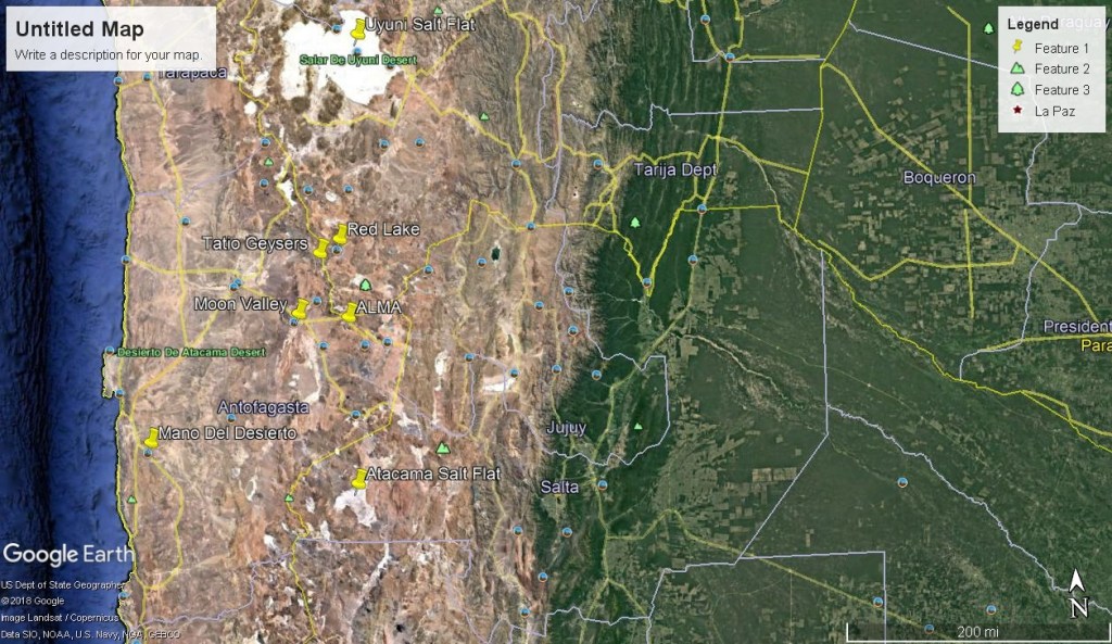
Once in Antofagasta, I rented a truck and drove out to the nearby Mano de Desierto. About 75km south-east of the town of Antofagasta, its monotony is shattered by a sight even more alien then the desert itself, and yet undoubtedly human: an 11-meter-tall hand protruding out of the sand.
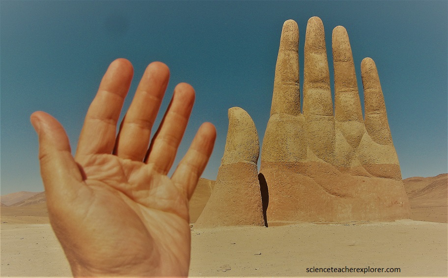
Mano de Desierto is a work of the Chilean sculptor Mario Irarrázabal, built in the early 1980s. The motion of hands rising from the ground is an obsession of Irarrázabal’s. The scorched moonscape of Atacama stretches for hundreds of miles on both sides of the Mano de Desierto, undisturbed by any sign of human activity. An interesting art project.
On July 10th, I drove out to San Pedro de Atacama to explore several geological and scientific sites of the Atacama Desert Region. San Pedro de Atacama is a Chilean town and commune in El Loa Province, Antofagasta Region. It is located east of Antofagasta, some 106 km southeast of Calama and the Chuquicamata copper mine, overlooking the Licancabur volcano. My first exploration was of the “Moon Valley”.
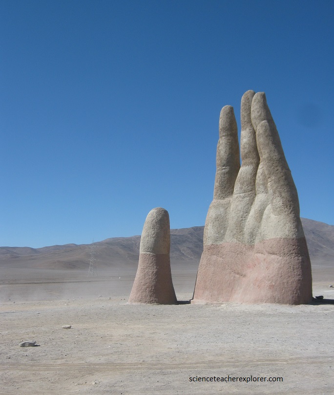
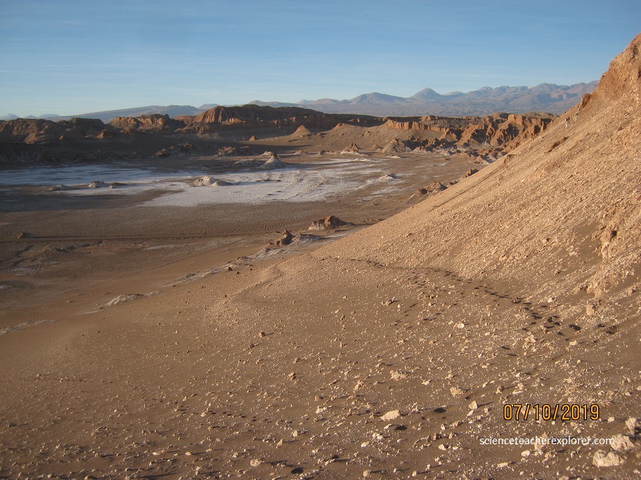
The “Moon Valley” sits about 20 km west of San Pedro de Atacama, and was accessible by my truck rental. The craggy boulders and skinny sandstone towers of Moon Valley are in an area of northern Chile often referred to as “arid wasteland.” Bone-dry and inhospitable it may be, but this otherworldly landscape located in the middle of the vast Atacam Desert is a geological wonderland.
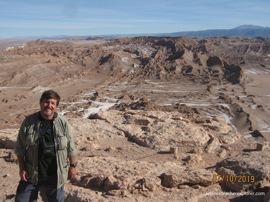
Situated at the northern tip of the Salt Mountain Range, the entire region is an exposed ancient lake bed that was bent, twisted, and pushed upward over millennia. Persistent winds and the occasional rain shower then sculpted the contorted stone into the flowing moonscape on display today.
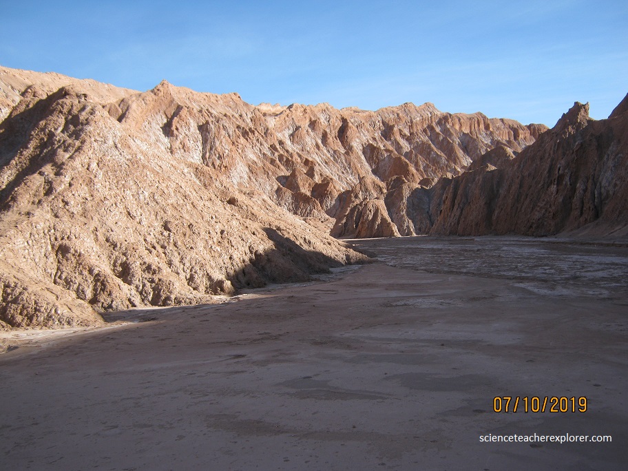
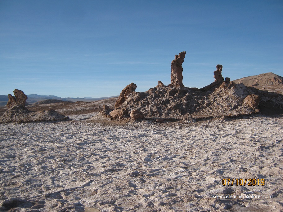
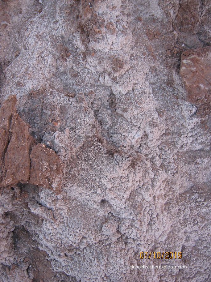
Rich in colorful mineral deposits, the often eerily humanlike formations are striped with veins of red and orange iron, or adorned in thick ridges of pure salt—finished with a dusting of gypsum. Valle de la Muerte (Death Valley): 4 km from San Pedro de Atacama, Death Valley’s geological origin is a lake, in which ancient horizontal layers of sediment and rock, dating back some 23 million years ago, were pushed and folded by movements in the earth’s crust that lifted the Andes, leaving some layers vertically. The Cordillera de la Sal has been shaped over time by rain and wind, giving rise to stunning shapes and mineral gleams, made of salt, gypsum and clay hills, spectacular natural sculptures and varied natural colors.
The “Moon Valley” is an amazing geological site situated at 2,550 m above sea level, formed 22 million years ago. Today, the valley forms an astonishing group of folded sedimentary rocks with salt, gypsum, and clay. The action of wind and other atmospheric agents have carved sculptural forms, mounds and hollows that make it a rare landscape, unique in nature, (pictured above).
The Atacama Desert is an arid landscape created by tectonic shift. Over time, the geological activity caused an ocean to form in the mountains, where the salty water remained trapped for millions of years. Much of this water has since evaporated. The remaining water is incredibly salty—its salinity is so high, it’s sometimes even saltier than the Dead Sea.
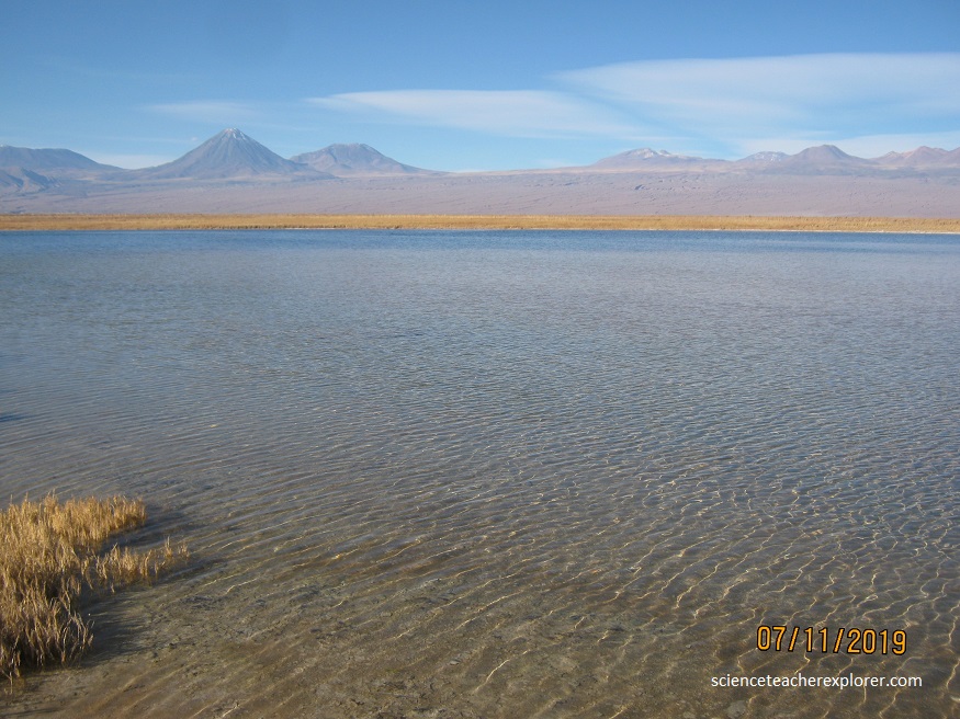
The Lagunas Escondidas de Baltinache (Hidden Lagoons of Baltinache) are a relatively unknown spot near San Pedro de Atacama, Chile. Reaching them requires driving nearly 40 kilometers on curvy, unpaved roads through an area dubbed the “valley of patience.”
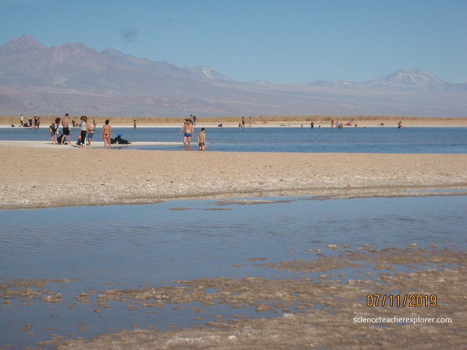
Once I was safely at the lagoons, I found a series of dazzling blue lakes surrounded by shimmering crystals of salt. Apparently you could swim in a couple of the lakes, though the rest are off-limits for research and conservation purposes. I didn’t bring my swim suit.
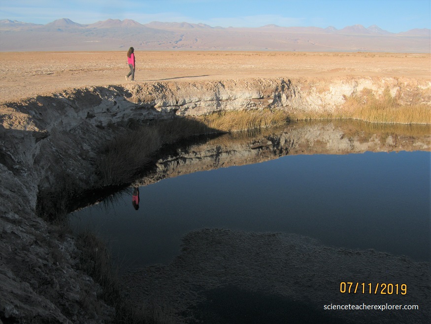
The water was relatively cold, at about 68 degrees Fahrenheit (20 degrees Celsius), but in the burning desert Sun, it would of felt refreshing if I would’ve had a swimsuit.

The Atacama Desert is a popular location for telescopes because of its dry air, dark surroundings, and high elevation. It also helps that the southern sky is particularly interesting because it’s where you can see the Milky Way’s core. In addition to optical observation, Chile is also perfect for millimeter and radio observations due to the area’s low amounts of interfering radiation from things like cell phones and WiFi. The biggest of such telescopes is the Atacama Large Millimeter Array (ALMA).
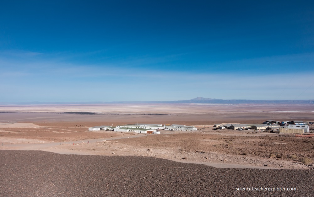
The ALMA is 16,000 feet (5,000 meters) above sea level. The telescope consists out of 66 antennas nearly 12 meters in diameter that work together to form a single gigantic dish stretching up to 16 kilometers, giving astronomers much better resolutions than any other instrument can offer.
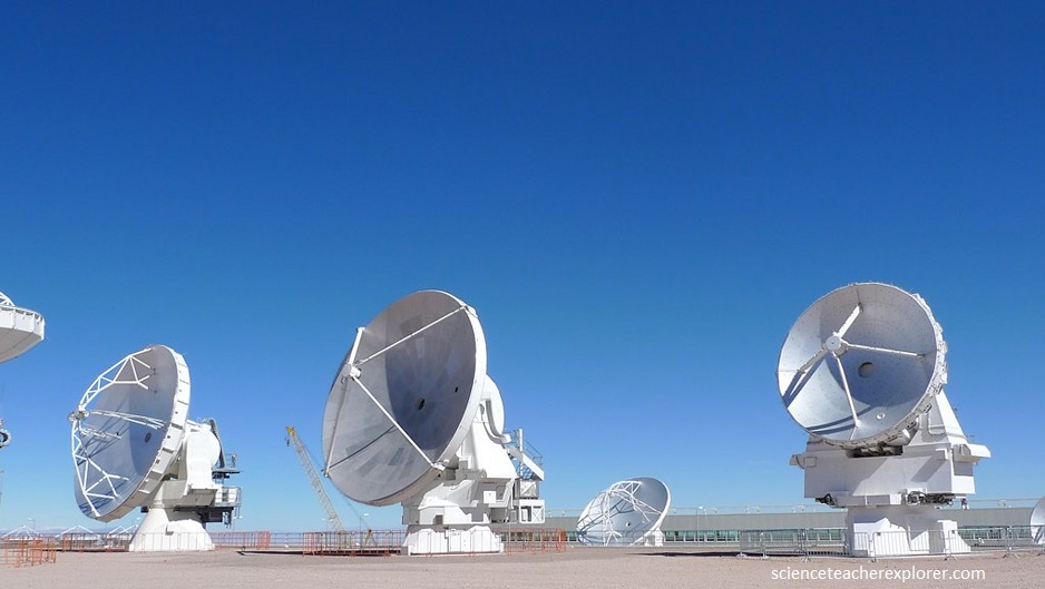
With this telescope, astronomers use millimeter to kilometer sized wavelengths of electromagnetic-radiation’s ability to look right though obstructive features that would be opaque in optical wavelengths. This makes the instrument perfect for observing dust, protoplanetary disks, the solar atmosphere, and exoplanets.
