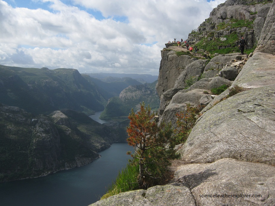
Preikestolen, Norway
On June 14th, 2018; I took a solo-trip to Scandinavia. As soon as I landed in Oslo, Norway; I immediately started my trek in Stavanger, Norway. There I visited, Preikestolen, “The Pulpit”. The Pulpit is a massive square chunk of rock that towers above Lysfjord.
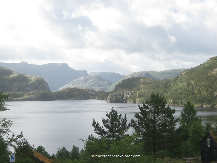
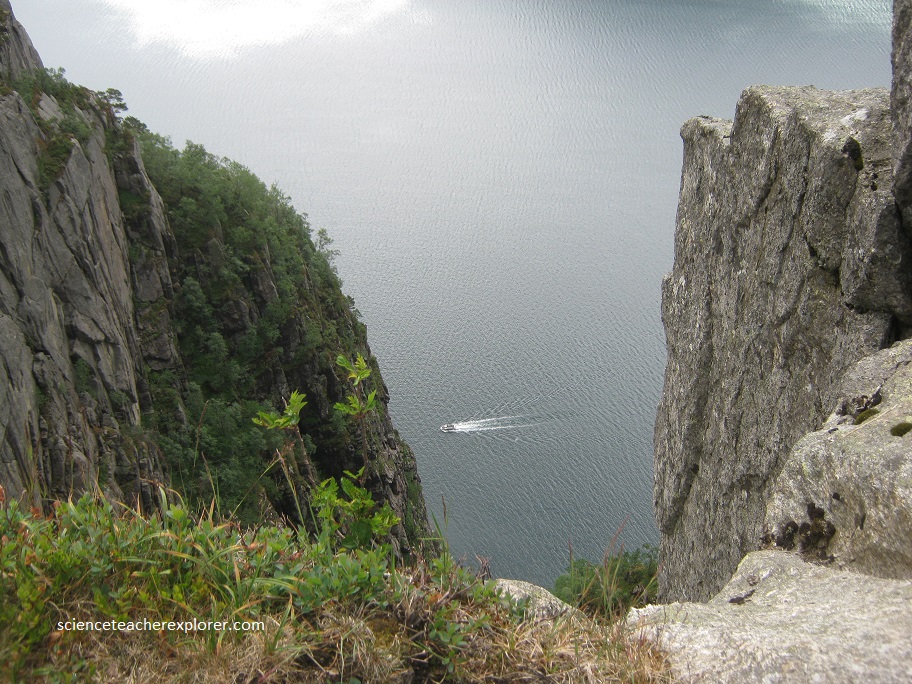
Pictured above, the Lysfjord is the southern Norwegian port of Stavanger and formerly the world’s sardine-capital and now headquarters for the country’s offshore oil industry.
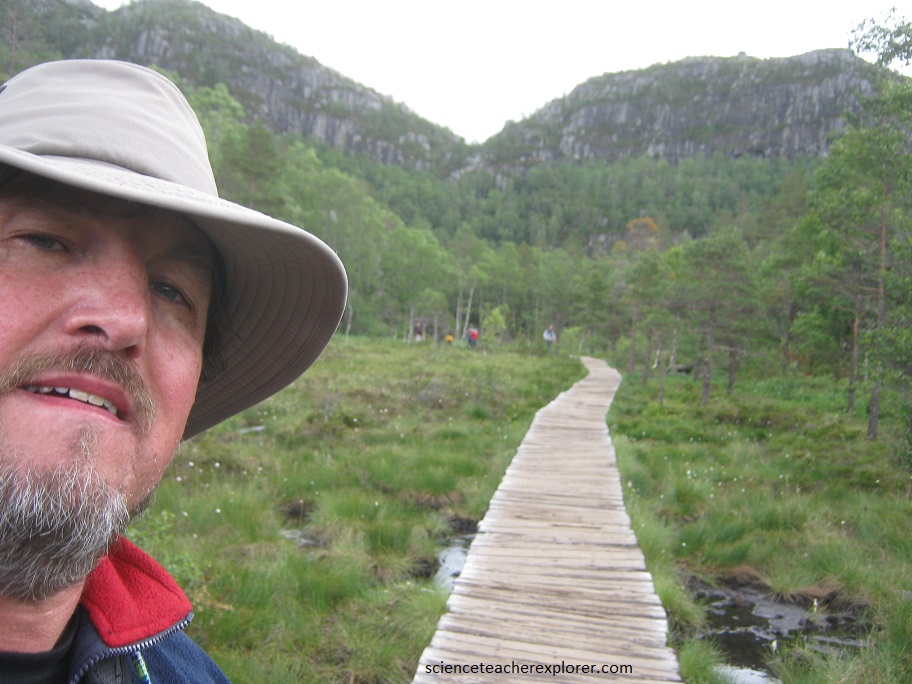
To get to “The Pulpit”, I had to take in a 2-hour hike from the village of Jossing, (near and across the fjord from Stavanger).
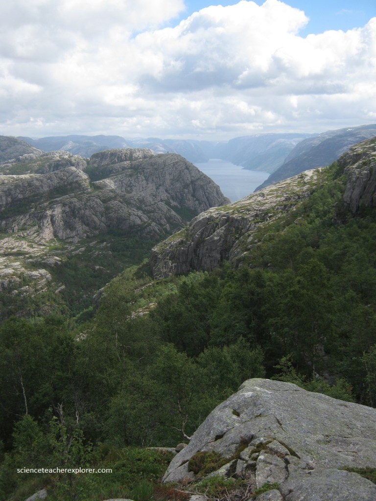
(Pictured above), The rugged, rocky Rogaland Mountains to the north and the Vest-Agder range to the south are peppered with shining, light green patches of vegetation.
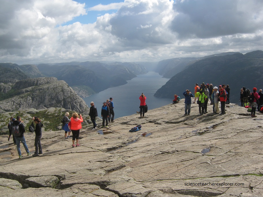
The view, (pictured below), from its bare rock summit, is magnificent, commanding almost the whole of the fjord itself. Its light blue, crystal-clear water reflecting the clouds passing overhead.
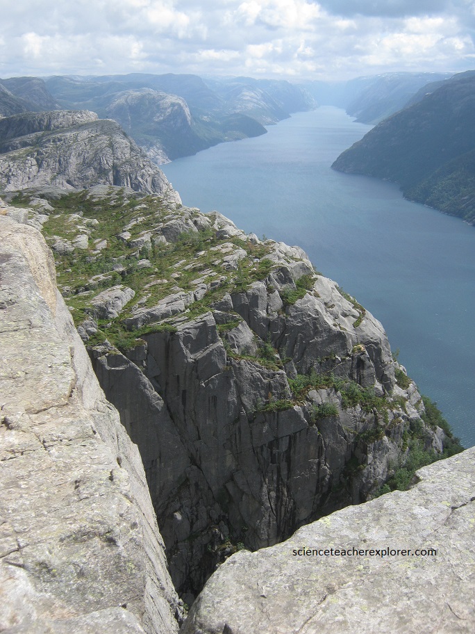
Preikestolen, (pictured below), was most likely formed around 10,000 years ago, during the last Ice Age. As the glaciers melted away, and the Lysefjord, was formed and the now-famous cliffside was exposed.

Before the start of the Ice Ages, the area around the Lysefjord was a shallow mountain valley that had been created as rivers and creeks eroded the landscape. Through the many Ice Ages, which spanned a period of 1-2 million years, moving glaciers carved into the landscape, reforming it along the way. Toward the end of the last Ice Age (10,000 years ago), as the glaciers retreated, debris was pushed downward and outward along the valley while the sea-level simultaneously began to rise. Over time, the debris accumulated into massive piles and walls, known as moraines. The seawater eventually broke over/through the valley’s end moraine, causing it to flood, at which point the fjord was formed. Though the floor of the Lysefjord is 457 meters below sea-level at its deepest point, the end moraine at the mouth of the fjord resulted in a depth of just 13 meters. Without the glaciers, which had served as a stabilizing force, the Lysefjord’s surrounding mountains became unstable. Successive cold winters caused frost damage to the granite bedrock, which eventually cracked. Once loose, whole sections of the mountainsides broke away, causing vast quantities of rock to tumble into the fjord below, (pictured below).
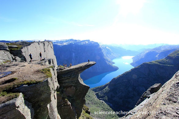
The Preikestolen cliffside was formed when three massive cracks gave way, leaving it in its current form. Pictured below is a similar cliff-face called, “The Trolltunga”, found nearby. This hike was a full day hike from the Skjeggedal Parking Lot.