Crystal Ball Cave, UT
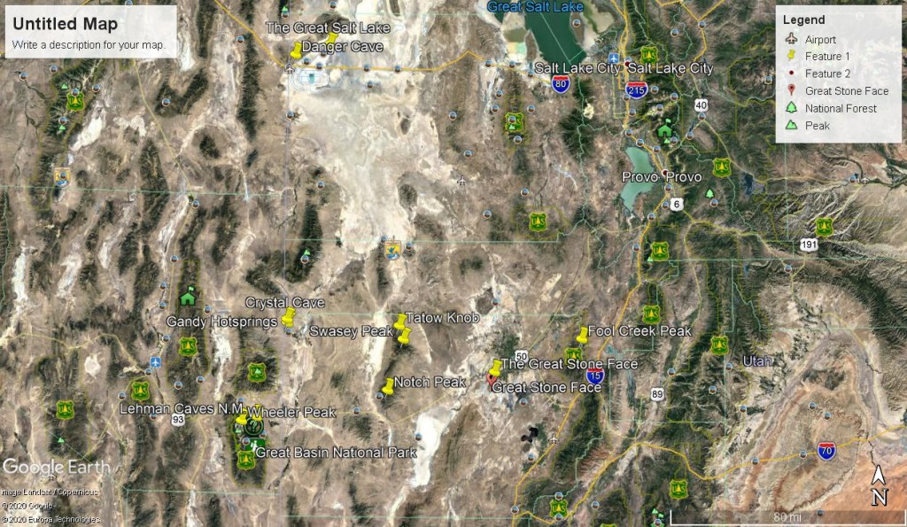
In June of 2015, I drove to a very remote location in the West Desert of Utah to explore the Cave named Crystal Ball Cave. I Headed west on U.S. Highway 50/6 from Delta toward the Nevada border and Great Basin National Park, then I turned right on Gandy Road. One kilometer before the border, I drove 45 kilometers north. At the sign for Gandy I then turned left and drove west, along the southern edge of a farm. This farm was the destination I was looking for, called the Bates farm.
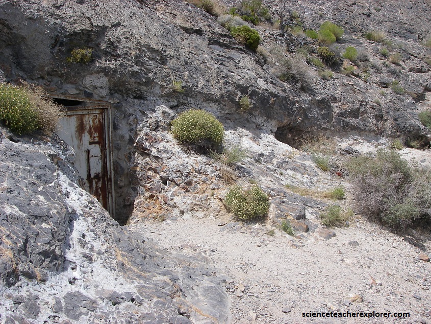
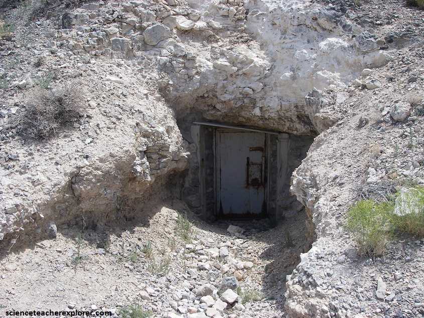
The Crystal Ball Cave was discovered by the late George Sims of Gandy in February, 1956. He found the original 1 meter diameter entrance that leads into a large chamber. The original east entrance was enlarged, the north entrance was blasted out through a soil-filled passage at the other end of the cave, and other improvements were made by Cecil R. and Jerald C. Bates of Gandy, Utah. I was to meet Jerald C. Bates, to give me a private tour of the cave.
The Crystal Ball Cave is situated in the Snake Range and is a north-south trending Basin and Range horst composed of early Paleozoic Paleozoic rocks.
The Crystal Ball cave lies in a Middle Cambrian limestone on the upper plate of the Snake Range Thrust fault, which is exposed is exposed at the north and south ends of Gandy Mountain.
The massive beds around the cave strike N35W and dip 20NE following the local trend throughout Gandy Mountain. The limestone is cavernous and contains many small solution cavities.
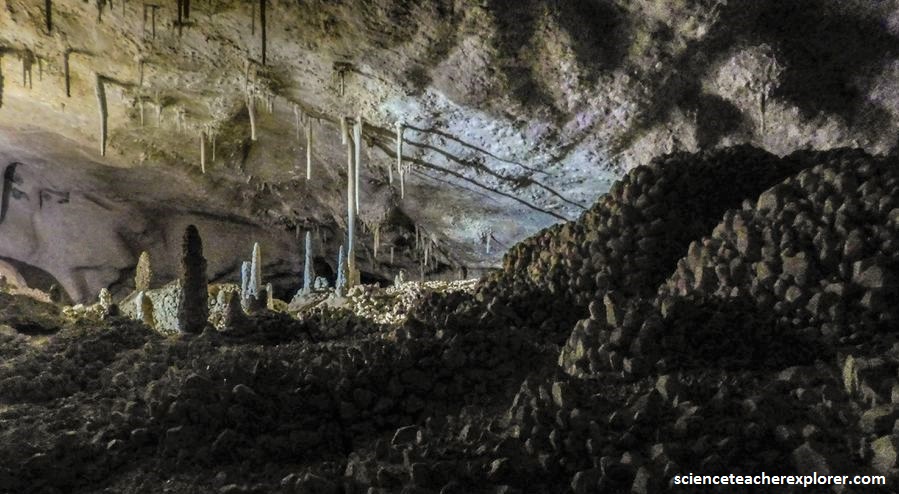
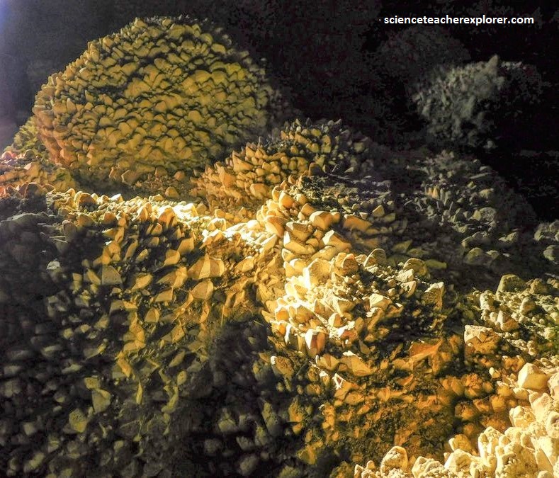
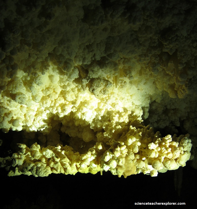
There are four distinct stages of the cave’s history: 1) a period of dissolution of limestone to form the cave, 2) a period of precipitation forming a layer of large calcite crystals (“nail head” spar) up to 0.3 meters thick on the cave walls, ceiling, and floor, 3) a period of partial dissolution of these crystals in the upper portions of the cave, the appearance of joints that cut the large calcite crystals, and the dislodging of breakdown from the ceiling of the large entrance room, and 4) the formation of vadose calcite speleothems and influx of sediment and fossils from outside the cave.
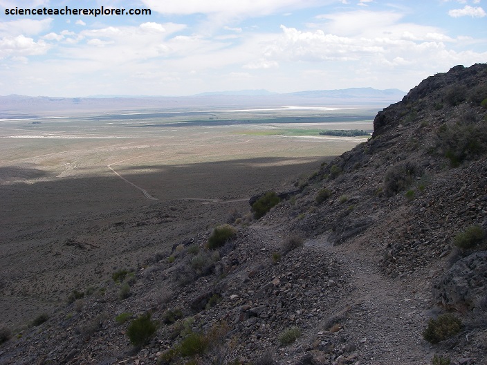
The cave tends to parallel the strike of the beds and is relatively horizontal, as would be expected if the cave were formed at the water table. However, the cave is high in a small isolated hill, considerable uplift and/or erosion must have taken place since the cave was at the water table.
Several vertical cavities (domes) extend upward into the cave ceiling, and these predate the calcite precipitation because they are partly filled by it. Shift from dissolution to precipitation represents the drastic reduction in the carbon dioxide content of the groundwater necessary for calcite precipitation.
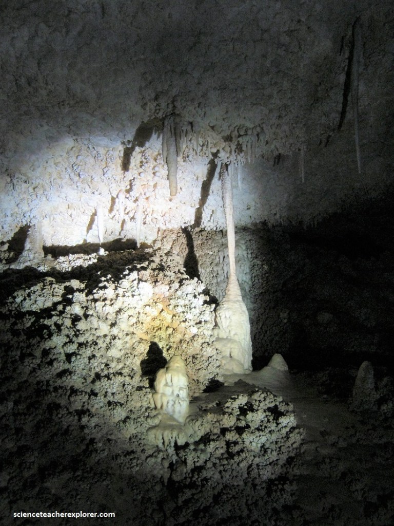
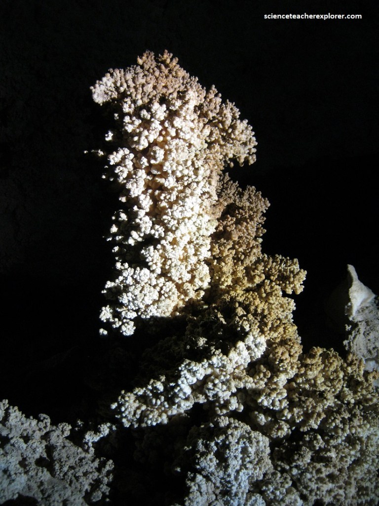
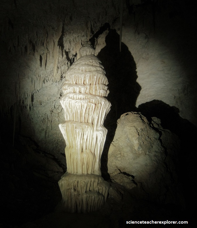
Vadose speleothems such as the stalactites, columns, and rimstone pools found in Crystal Ball Cave form subaerially in caves having enough gas exchange with the surface to allow carbon dioxide to escape from the dripping groundwater.
Joints and breakdown, both of which cut the previously formed calcite crystals, probably represents one or several earthquakes. These cracks and breakdown blocks were later filled and covered by the speleothems.
A large assemblage of Ice Age mammal bones have been collected from the cave (for example, saber-toothed cat, camel, “large-headed llama,” and musk ox). Discovered in 1956, the cave is privately owned through a mineral claim on Bureau of Land Management land.
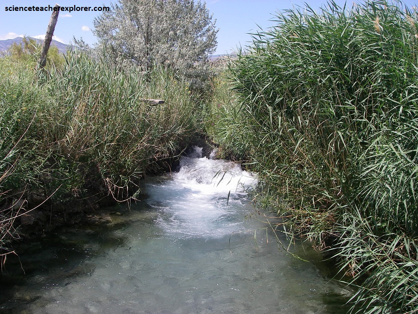
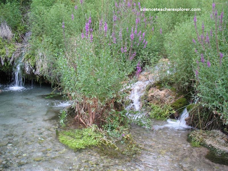
Presently the closest water body to Crystal Ball Cave is Gandy Warm Springs on the south side of Gandy Mountain. This spring emits voluminous warm (81 F, 27 C) water which is high in Calcium.
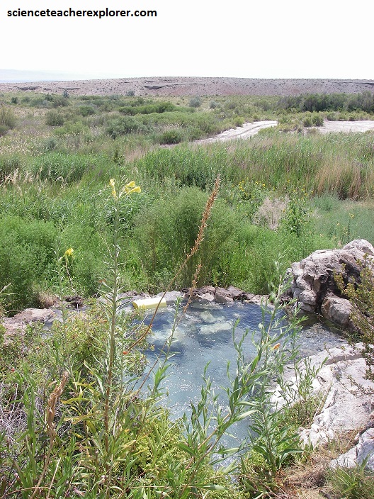
Possible conduits to the surface for the warm water are faults located in Snake Valley. Alternatively, the springs could flow from sediments containing groundwater that is forced to the surface by the bedrock barrier of the nearby Spring Mountain. Passageways through limestone bedrock could also channel groundwater to Gandy. Chemical analysis of the spring water’s isotopes suggests some older regional groundwater thousands of years old mixing with more recently recharged groundwater.
The rock of Spring Mountain is largely Ordovician to Cambrian-age Notch Peak Formation, a dark brownish-gray dolomite and gray limestone originally deposited on the seafloor about 500 million years ago. The springs flow from another limestone—the Cambrian-age Orr Formation.
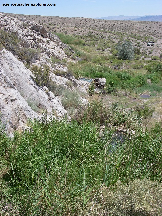
The limestones create intricate and intriguing topography (known as karst) characterized by cavities, alcoves, and caves; some of the spring-derived streams disappear into caves (like Crystal Ball Cave) and reemerge down slope.