Gr. Sand Dunes NP, CO
For Fall Break of 2011, Becky (my wife) and I took a vacation from Utah to Durango, Colorado. While there, we drove over to the South-central part of the state to explore the Great Sand Dunes National Park.
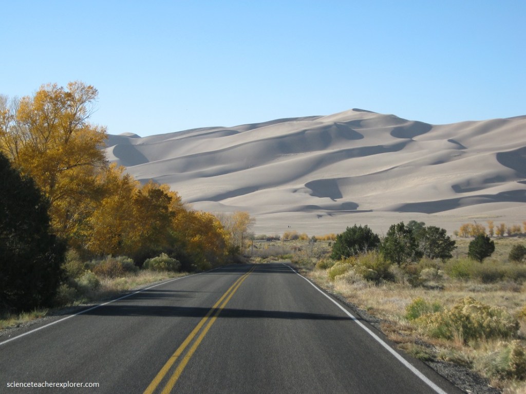
To encounter the giant, golden sand dunes of southern Colorado is as surprising as it is uplifting.
These wind-sculpted hills rise up suddenly, over 210 m high from the floor of the San Luis Valley, between the Rio Grande and the Sangre de Cristo mountains.
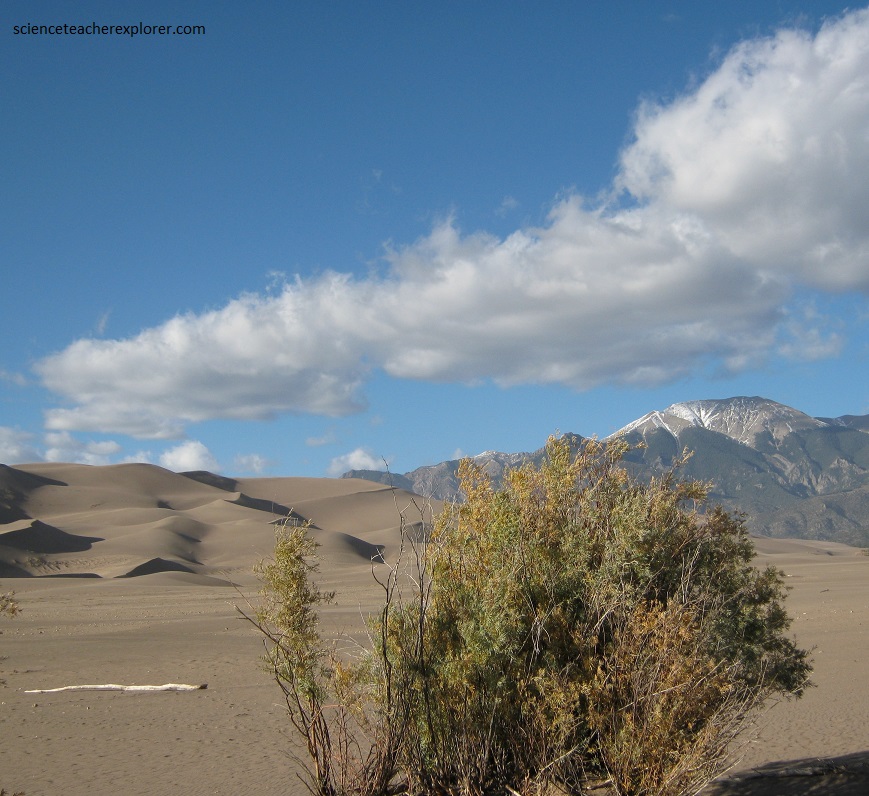
The great dunes are the tallest dunes in the United States, and cover over 90 square kilometers. They are particularly breathtaking to see in the early evening when sunlight highlights their sinewy outline and their rich golden color from the west.
Dune formation began in the Pleistocene era when glaciers formed in mountain valleys, pouring ice and rock far into the San Luis Valley.
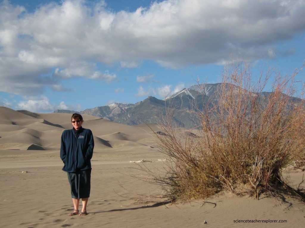
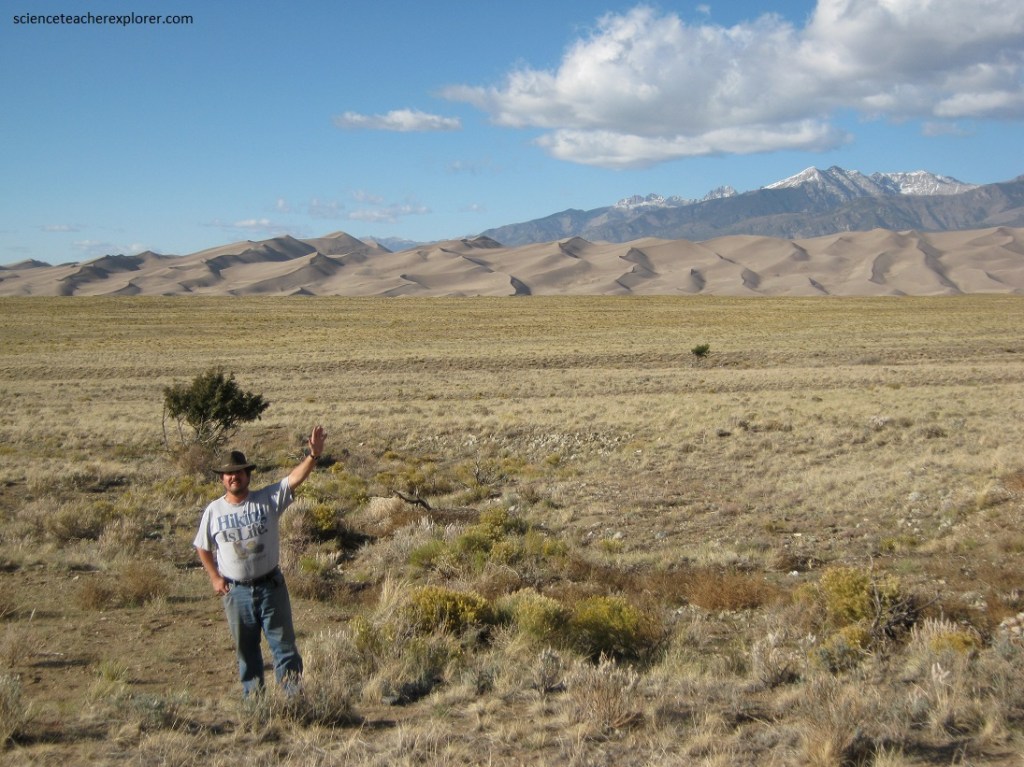
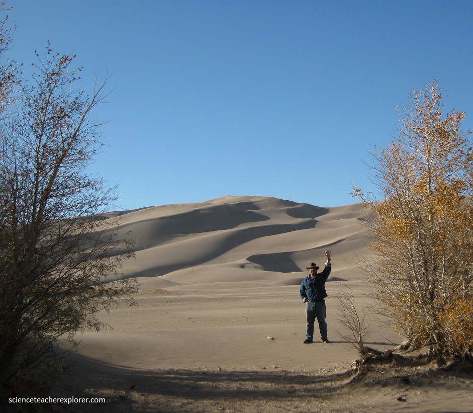
About 12,000 years ago, a warming climate melted the Pleistocene glaciers, creating rivers and streams. This carried large quantities of silt, gravel, and sand into the San Luis Valley. Prevailing winds from the southwest, carried sand to the eastern edge of the valley. Pictured above behind Becky, the Sangre de Cristo Mountains on the eastern side acted as a barrier, forcing the winds to lose energy and release their clutch of the sand. As a result, the dunes were gradually enlarged by the wind.
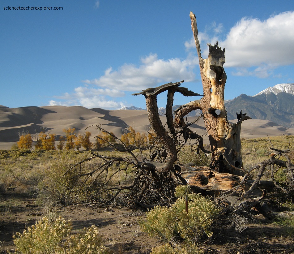
Even though they look dry, these sand dunes kept their shape because they are quite moist and dense under their surface. By wicking water from the high water table and nearby creeks, the dunes act like a sponge. Pictured above, notice the abundant vegetation on the level field and the line of trees, showing a river beneath the surface.
Medono Creek is a small snow-fed stream from the Sangre de Cristo mountains that flows along the eastern edge of the dunes during the spring. [Unfortunately, Becky and I were there in October]. For several hundreds of feet the creek babbles over a stretch of sand, a foot deep and then suddenly disappear into the sand, only to pop up again several feet away.
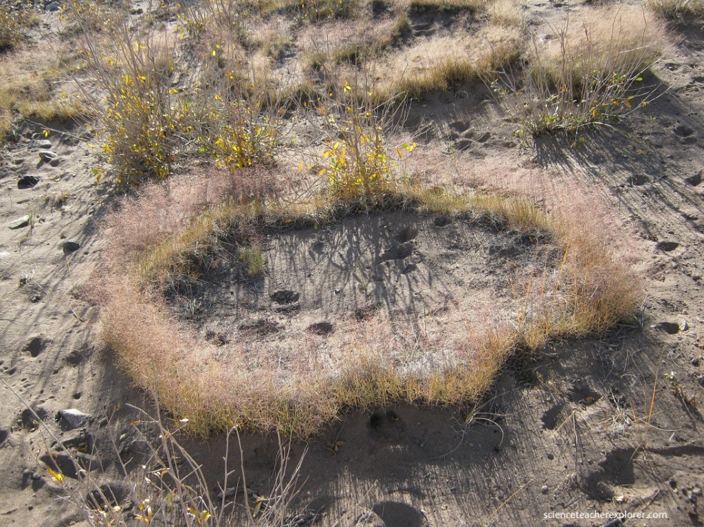
The picture above shows the famous “Ring Muhly”. It is a grass that grows in a circle. This grass grows outward, releasing a chemical inside the circle that prevents other grass from growing there. In this way, a “bucket” is formed that captures rainfall in the desert climate.
Although the predominant wind direction is from the southwest, winds from the east occur during storms, and together, these opposite-direction wind patterns cause the dunes to grow vertically as their sand material gets blown back and forth, piling up on itself. Though generally quite stable, some dunes are migratory, and many change shape seasonally.
