Shangri-La (Tibet), CN
While trekking and exploring, China in the Summer of 2011; I had the opportunity to visit the Shangri-La Region. My primary destination was Shangri-La.
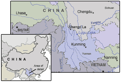
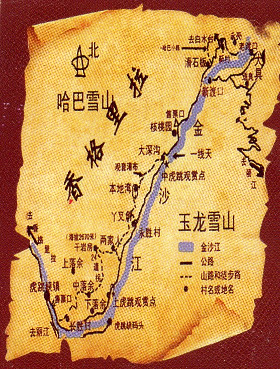
At an average altitude of more than 3,000 meters, the region was very difficult to be reached. Without railways leading there, the chief means of transportation was a motor vehicles. To get there, my trekking buddies and I, began our journey in Dahli by-way of railway to Lijiang. The train was so crowded, that I had to stand for 6 hours. Once in Lijiang, we took a long-distance bus, (for 5 hours) to get into the Shangri-La region. It’s about 175 kilometers from Lijiang to Shangri-La. On the way, we saw the Tiger Leaping Gorge.
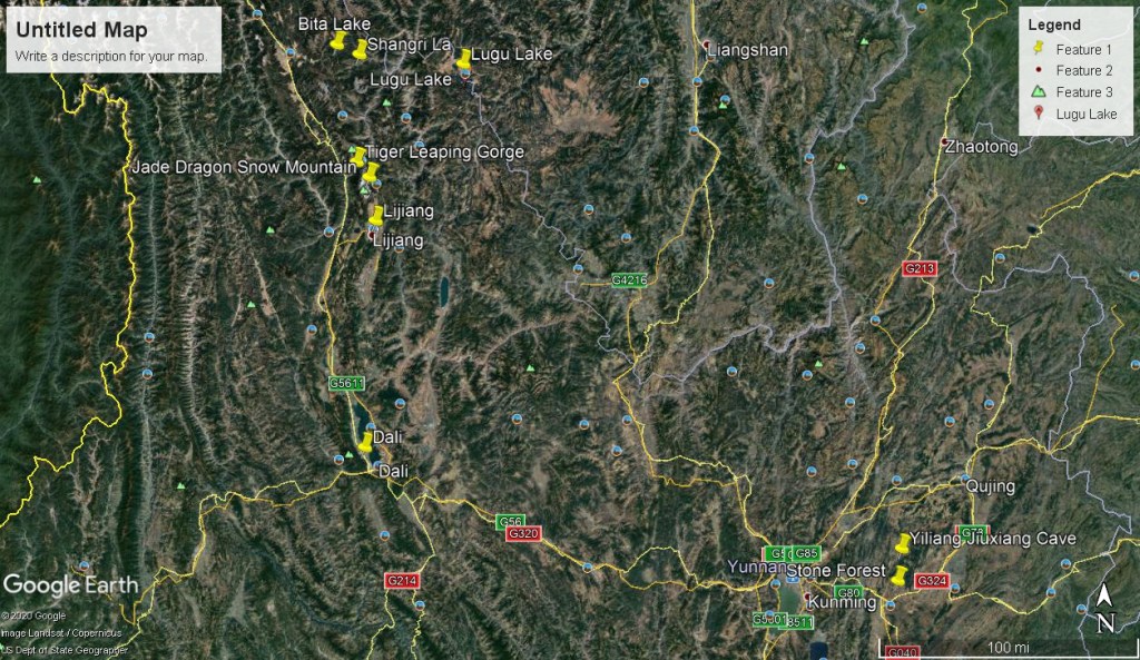
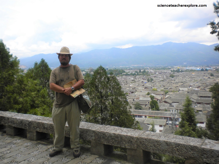
My trekking group stayed in the “The Old Town Lijiang”. The “Old Town” was once the center of the city and continues to maintain the original flavor of the local lifestyle, the typical local architecture and the profound cultural heritage of the region. It is graced by well preserved ancient buildings and the Naxi Culture.
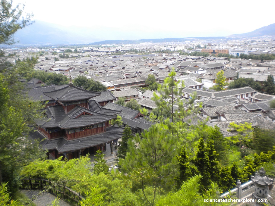
While the geographical position of the Lijiang is remote, it has the advantage of ensuring a pleasant year-round climate and a wide variety of businesses in the 21,000 square kilometer area. The earliest recorded history of the city can be traced back to the Warring States Period (476 BC-221 BC). With the advent of the Tang Dynasty (618-907 AD), the local economy reached a peak with the development of the Ancient Tea-Horse Road which made a great contribution to both commercial and cultural communication between Tibet, Sichuan and Yunnan Provinces.
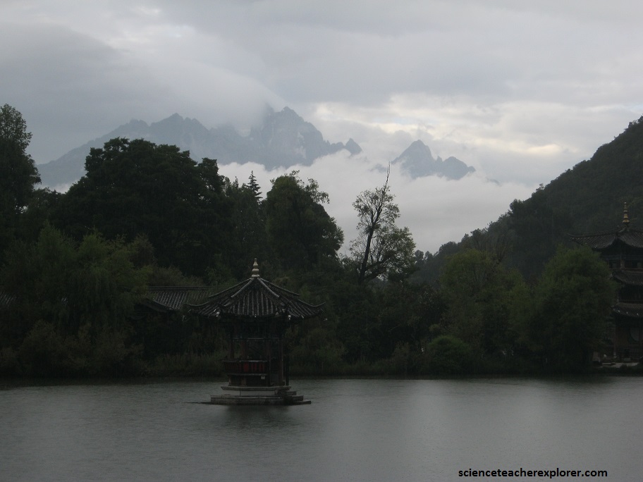
Pictured below, my trekkiing group took in the beautiful view of the Black Dragon Pool in the Jade Spring Park, Lijiang, Yunnan province, China. The Jade Dragon Snow Mountain is visible in background at left.
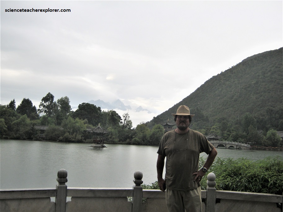
Jade Dragon Snow Mountain in China’s Yunnan Province has 13 peaks, which from a distance, resemble an undulating dragon’s back. As seen above, in a certain light the mountain’s snow appears to be green. This effect is probably caused by crystalized algae. The 13 peaks, are the result of a flexure in the Earth’s crust around 230 million years ago. The shape of the mountain may have been influenced by events as recent as 12,000 years ago.
Approximately 6500 species of plants have been found on it’s slopes, including 50 species of azalea, 60 primroses, 50 rough gentian, and 20 lilies. For most of the year, “The Jade Dragon Snow Mountain” is carpeted in color below the snowline. Additionally, there are the rare red pandas, musk deer, silver pleasant and clouded leopard. Above the snow line, the snow is permanent and the peaks are perpetually stormy. The highest is called Shanzidou, which is about 2/3 the height of Everest. However, Sanzidou has never been climbed.
While exploring the historical and cultural city of Lijiang City, we visited Chief Mu’s Mansion. Mu’s Mansion is a “Da guan Garden” of the Lijiang ancient culture. Mu, the chief of Naxi, has remained his chief family status for 22 generations and 470 years from Yuan Dynasty through the Ming and Qing Dynasties.
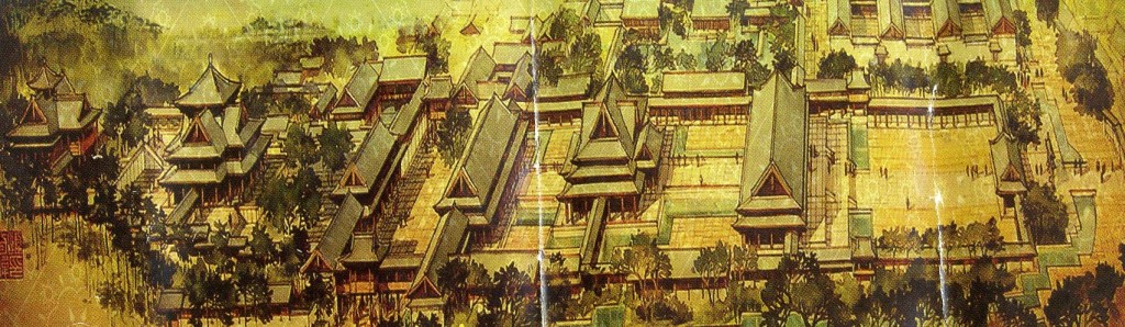
The Mansion occupies 46 mu and stretches 369 meters. It’s located to face east to greet the morning sun. The archway writs Tian-Yu-Liu-Fang, which is the sound of “Let’s read”. [In Naxi Language, showing Naxi people’s passion for knowledge]. The Mansion is a grand collection of architectural art with characteristics of inland style of Ming Dynasty. Its orientation shows traditional Naxi culture. Besides, the Mansion is a garden for ancient Naxi Kingdom’s old trees and rare plants and mixes the freshness of nature and grandeur of royal palaces. The great Mansion has the spirit of snow and ice. A visit here leads to the deep myth of Naxi ancient Kingdom.
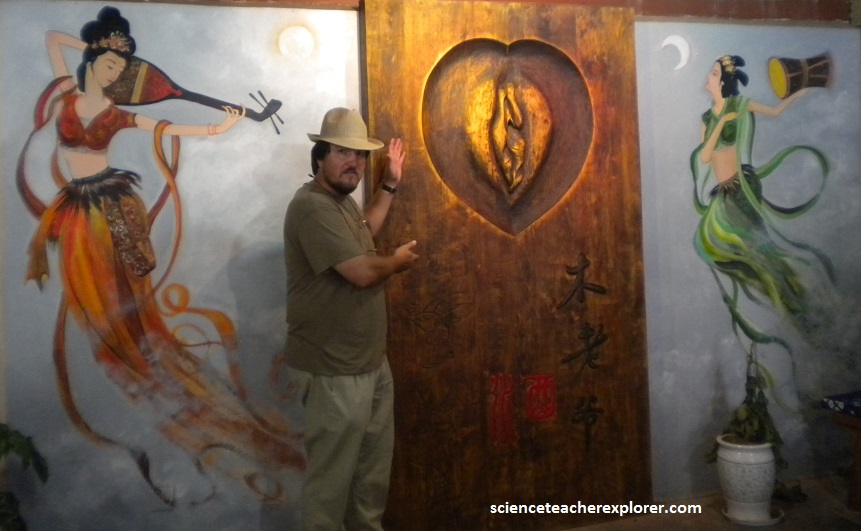
While exploring the extraordinary Mansion of Chief Mu, my trekking group came upon a small group of women, selling vagina wine. This intrigued us. Pictured above, was a wood-carved sculpture of a vagina. On the side of the bottle, was a art-depiction of this sculpture. It was like a religious symbol for this group of women. Our interpreter, Cui Lee, indicated that this was the symbol of the Mosuo Minority Group.
The Mosuo people are known as the ‘Kingdom of Women’ because the Na are a matrilineal society: heterosexual activity occurs only by mutual consent and mostly through the custom of the secret nocturnal ‘visit’; men and women are free to have multiple partners, and to initiate or break off relationships when they please. The Mosuo population of about 50,000 live at Lugu Lake, north-west of Lijiang, in the Tibetan Himalayas. The Mosuo people celebrate this matrilineal culture, tracing lineage through the female side of the family. A Mosuo girl is considered a woman after she has participated in the coming of age ceremony. This ceremony, observed between the ages of 12 and 14, marks a Mosuo girl’s transition to womanhood as well as a Mosuo man’s transition into manhood.
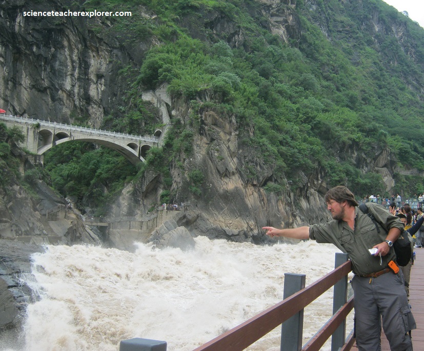
Picture above, we visited the “Tiger Leaping Gorge”. At it’s narrowest, the world’s deepest gorge is less than 30 m from rim to rim. According to local legend, a tiger was once see leaping across it, so arose the name given to the deep gash that cuts between Yulong Dragon Snow and Haba Jade Snow Mountains.
The Golden Sands River, which carved the chasm between the two mountains over five million years, runs as white-water rapids through most of the gorge, dropping steeply in three sections, the third of which is among the roughest set of rapids in the world. But in spite of all the turbulence, it is part of a tranquil and beautiful region of the eastern Himalayas. It was from the nearby Lijiang that Dr. Rock wrote articles that are said to have inspired James Hilton to create “Shangr-La” in his novel “Lost Horizon”.
Situated in the northwest of Yunnan Province, the heart of the Hengduan Mountains, Diqing Tibetan Autonomous Prefecture lies at the juncture of Yunnan, Sichuan and Tibet, and in the hinterland of the Three Parallel Rivers of the Yunnan Protected Area. It provides the only pass from Yunnan to Tibet. Diqing means “a place of good luck” in the Tibetan language. It is also a place of eternal peace and tranquility described by James Hilton, a famous British writer, in his novel Lost Horizon.
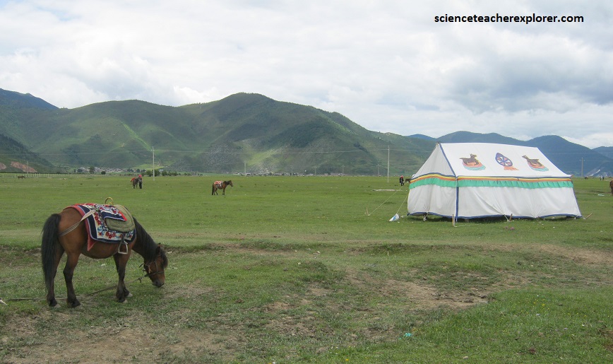
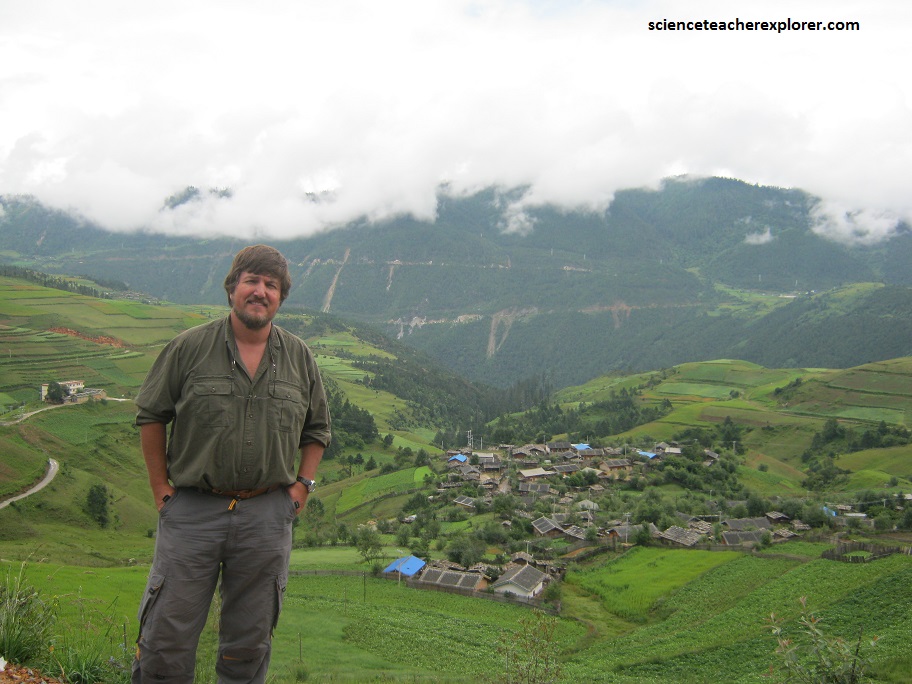
Shangri-La, previously known as Zhongdian, is a small, primeval Tibetan town located 5-hours-drive north of Lijiang, Yunnan. In Tibetan, “Shangri-La” means the “sun and moon in heart,” a literal heaven on earth. Dotted with beautiful hills, flowers and alpine lakes, the region of Shangri-La offers superb possibilities for us to trek and botanical exploration. Shangri-La is inhabited by many different ethnic groups, with the Tibetans comprising the majority of the population. The picturesque Tibetan villages on the outskirts of Shangri-La still keep unique customs and traditions.
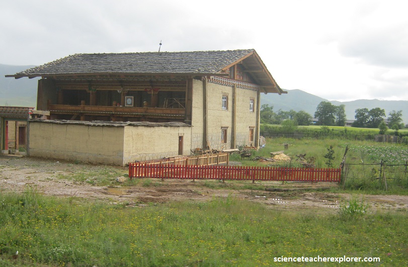
The people of Shangri-La, live in sturdy, two-story houses of timber and rammed earth on stone foundations, a balcony on the second floor, a small yard in front or to the side. People do domestic work here; like carpentry, chopping wood or skinning yak. Some hang hunting trophies or yak skulls from the second floor balcony rafters.
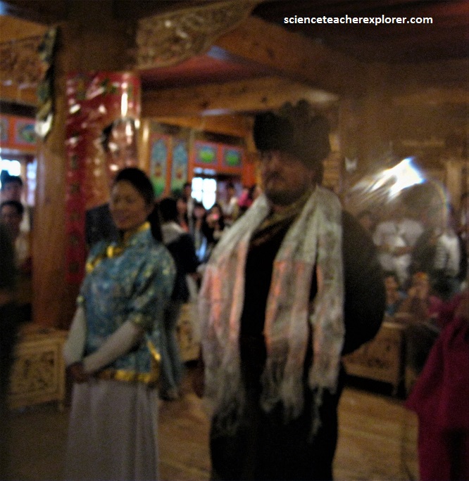
One of the evenings that we spent in Shangri-La, I was inducted into a single-man tug-of-war tournament, (pictured above). I won all of my matches, which brought me to the final match. That is when my extremely large competitor bowed in defeat. Leaving me as a Champion for the tournament. Unfortunately, my trophy was a “wife”. (Pictured below).
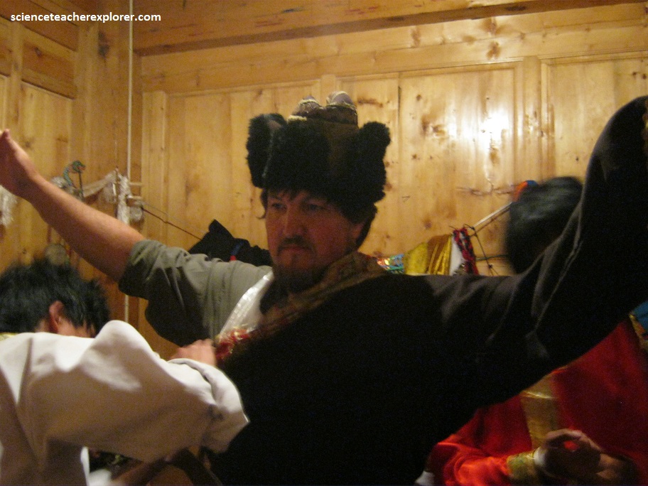
To avoid an International incident, my interpreter and I, decided to go through with the abrupt-shotgun-like-wedding. Afterwards, we would communicate that I was already happily married and I would be unable to accept the newly won “Wife”. It was illegal for me to have two wives in the home country of USA.
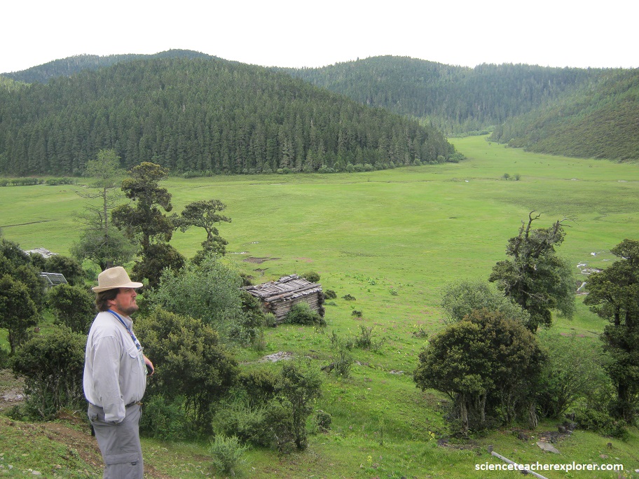
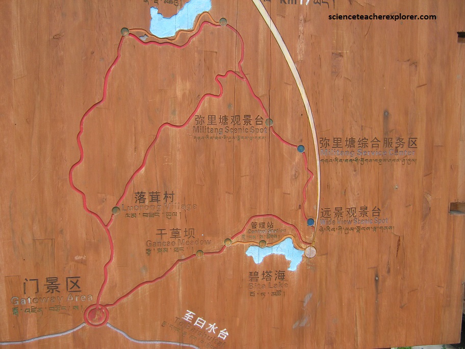
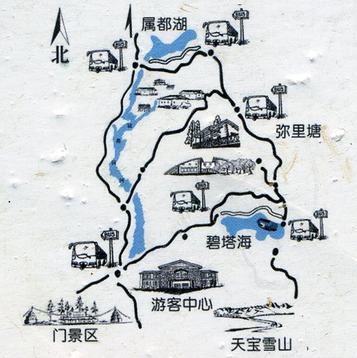
After the wedding incident, my trekking group and I continued exploring the Shangri-La region. Our main destination was the Pu Dacuo National Park and it’s spectacular Bitahai Lake.
Shangri-La is the “Eden in dream”. Since it first appeared in British novelist James Hilton’s, “Lost Horizon” in the 1939, it has been associated with the mystique of a place which could not possibly exist here on Earth. In Tibetan, Shangri-La means the “sun and moon in heart”, an ideal home only found in heaven. There the lofty and continuous snowy mountains, endless grasslands, steep and grand gorges, azure lakes and the bucolic villages left a deep impression on us.
About 22km southwest and 40 minutes’ drive from Zhongdian downtown area, Potatso or Pu Ducuo National Park covers an area of 115 square miles. It is renowned for well-preserved primitive landscape, which is endowed with lakes, wetlands, forests, meadows, streams, brooks, rare plants and animals.
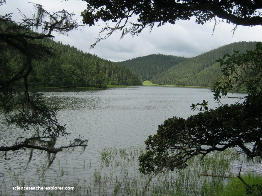
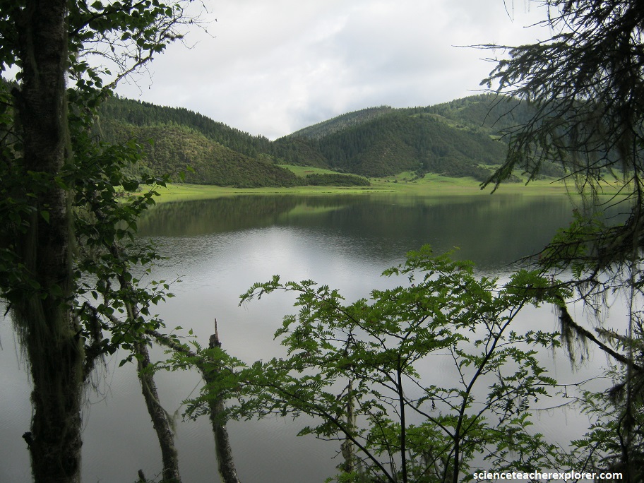
Pictured above, Bitahai Lake is widely recognized as ‘A Pearl on the Plateau’ and the most attractive lake in Shangri-La. Legend has it that a goddess dropped her mirror carelessly to the earth when she was making up. The mirror was broken into pieces and they became lakes on the plateau. Among these pieces, the most beautiful piece with green jade turned into today’s Bitahai Lake. As the highest lake in Yunnan Province, it is one of the core spots in Pu Dacuo National Park with an altitude over 3500 meters above sea level. Covering an area of about 159 hectares with an average depth of 20 meters, it is famous for its limpid water and its beautiful scenery which is set against the mountains and forests surrounding it. Bitahai Lake is fringed with rhododendrons of various varieties, which adds to its beauty.