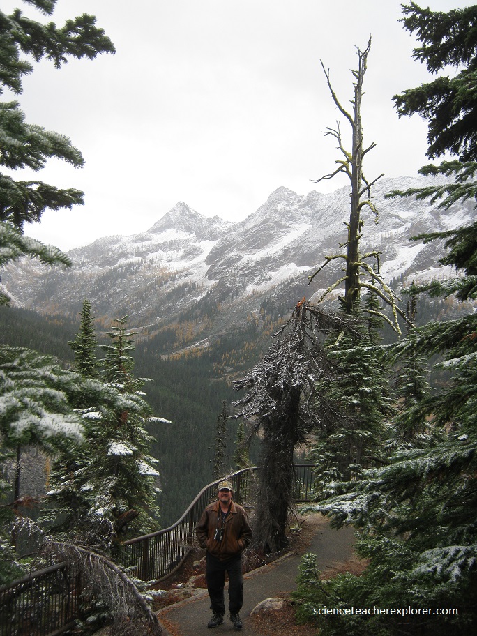
North Cascade N.P., WA
On October 16th, 2017; Becky and I took a road trip to Washington State. There we visited, “North Cascade National Park”.
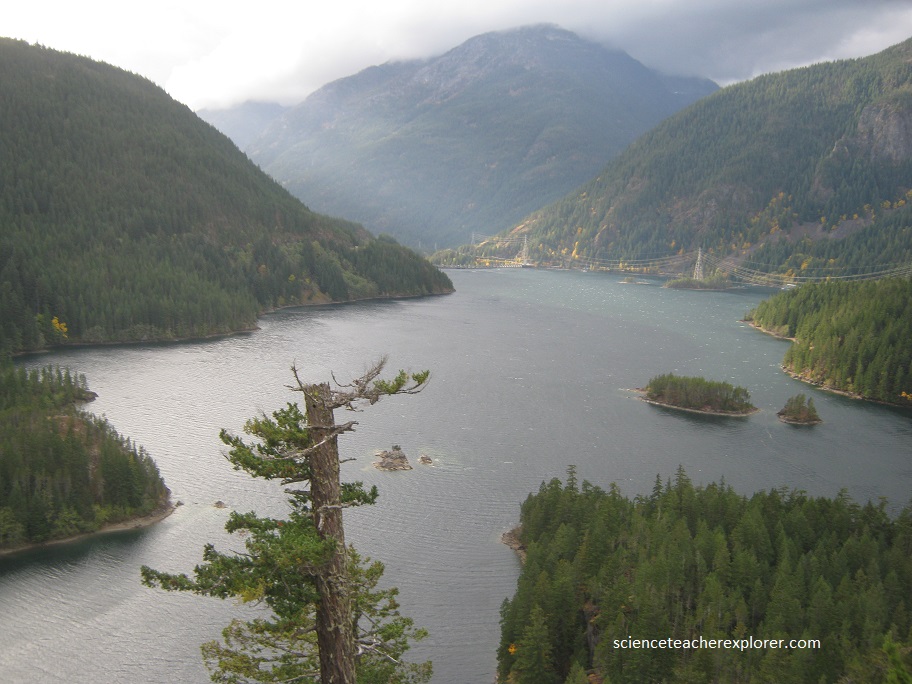
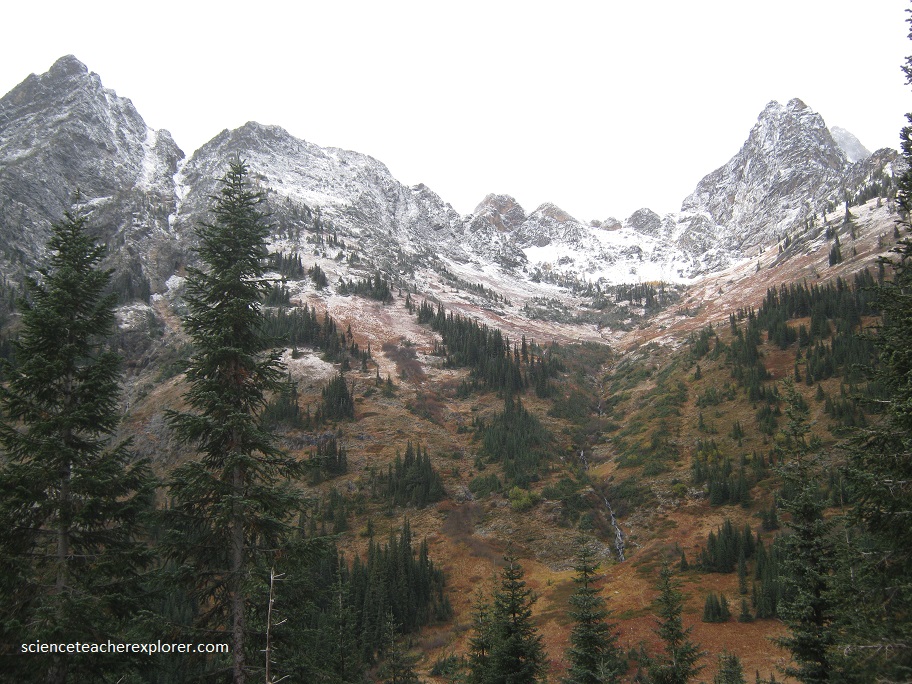
The North Cascades Range, (pictured below), supports over 300 valley and cirque glaciers within the park.
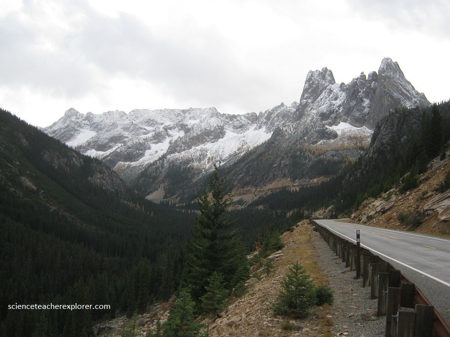
High, jagged peaks intercept moisture-laden winds that nourish glaciers, waterfalls, lakes, streams, and lush forests. Deep glacial troughs and glacially dissected uplands were left by the greater glaciers of the Ice Age, frost-riven rock towers above active alpine glaciers of the present.
Exceedingly complex igneous and metamorphic rocks and geologic structures suggest a tempestuous tectonic history involving plate collisions, subduction, accreted terranes, uplift, and volcanism.
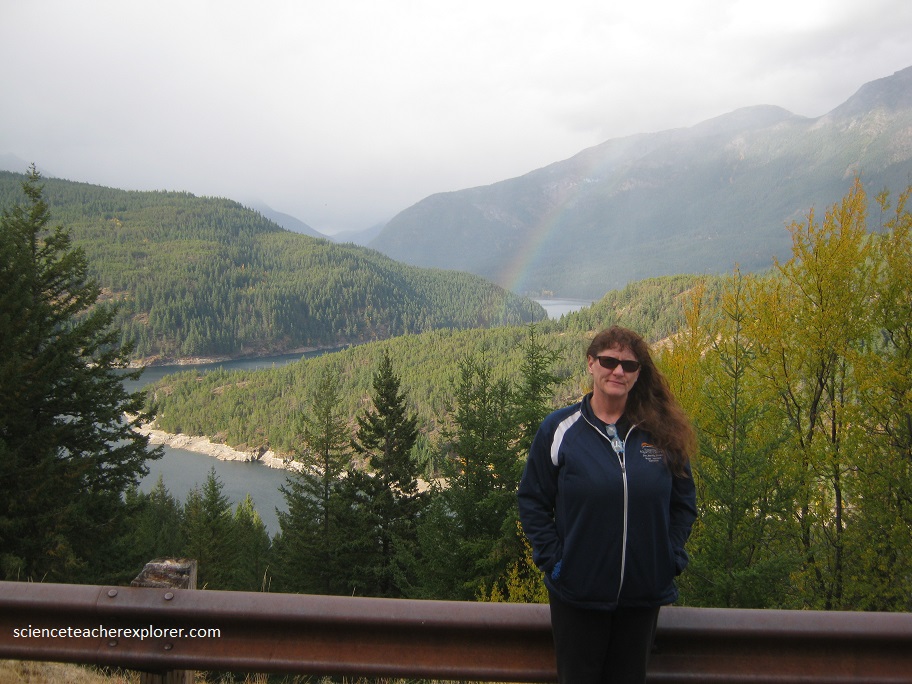
(Pictured below), Becky poses in front of the Upper Skagit River. The gorge of the Skagit contrasts strongly with the broad glacial valley nearby. Geologists have explained this anomalous topography in several ways, but the scenario most consistent with the general pattern in the North Cascades is that upper Skagit River once drained northward into Canada. The gorge is eroded where once there was a bedrock divide. The growth and retreat of successive Cordilleran Ice sheets brought on this reversal. Each time the ice advanced south into the North Cascades, it dammed north-flowing rivers, forming lakes. Water from the lakes spilled over divides to the south and found new routes to the ocean. When the ice retreated, the lakes reappeared, and some of the sediments deposited in the lakes that remain in the valleys to the east. During Retreat of the Cordilleran Ice Sheet – Lake spills south over drainage divide to erode Skagit Gorge through the old divide. In this scene most of the alpine glaciers have retreated up the side tributaries. As the ice melted back, lakes that rose high enough to find outlets, drained to the south, their rushing waters eroding deep gorges in the bedrock divides. The upper Skagit Lake did just that in the vicinity of Skagit Gorge. Eventually, the new canyon was so deep that even after the Cordilleran ice retreated, the river continued flowing to the south.