Eclipse 1998, Caribbean
In February 1998, Becky (my wife) and I booked a Caribbean eclipse cruise to observe our first total eclipse of the Sun. Carnival’s 71,000 ton MS Fascination took us to six ports-of-call, (two of them in Aruba), through the Caribbean during the week leading up to the eclipse.
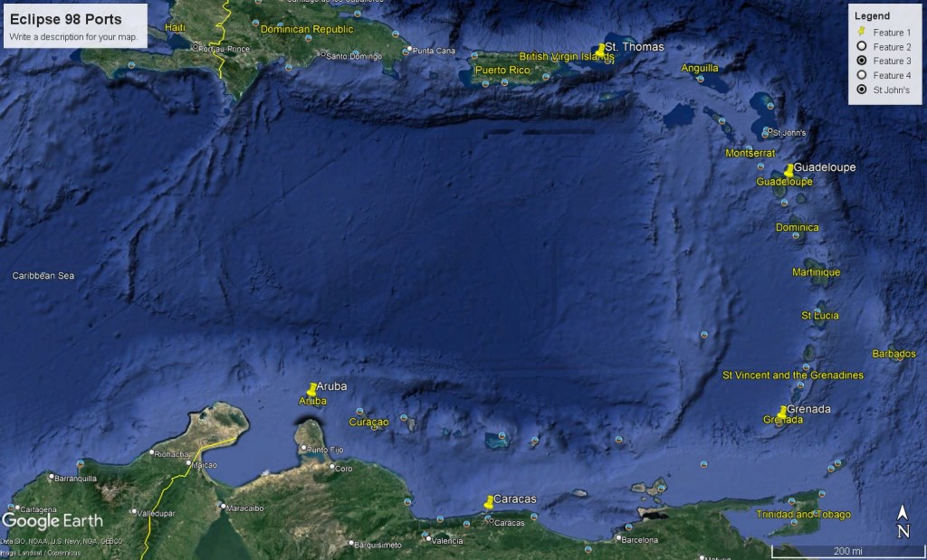
Imaged above, our ports-of-call were St. Thomas, Guadeloupe, Grenada Caracas & Aruba. Our first stop was on St. Thomas of the U.S. Virgin Islands.
Imaged above, Saint Thomas is one of the Virgin Islands in the Caribbean Sea, and a constituent district of the United States Virgin Islands, (an unincorporated territory of the United States). The territorial capital and cruise-port is Charlotte Amalie, which is located on the mid-point and southern shores of the island.
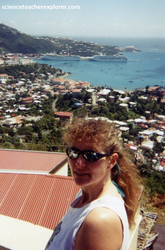
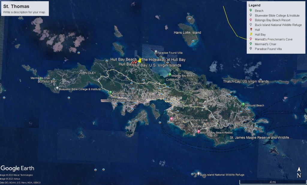
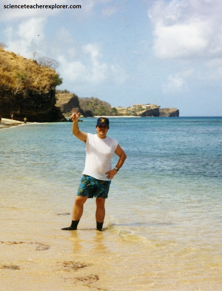
Pictured above, when we debarked off of the ship in Charlotte Amalie of St. Thomas, we immediately approached a vendor to take us up to the top of the hill at a view-point and down the other-side, (northside), to Hull Bay. Since 1998, we’ve visited St. Thomas many times. In fact, we’ve even stayed at the Blue Beard’s Castle Resort for an entire week in 2010.
Saint Thomas has a tropical savanna climate with a drier and wetter season. The temperature is warm year-round, but February was one the coolest months, having average temperatures of 29 °C .
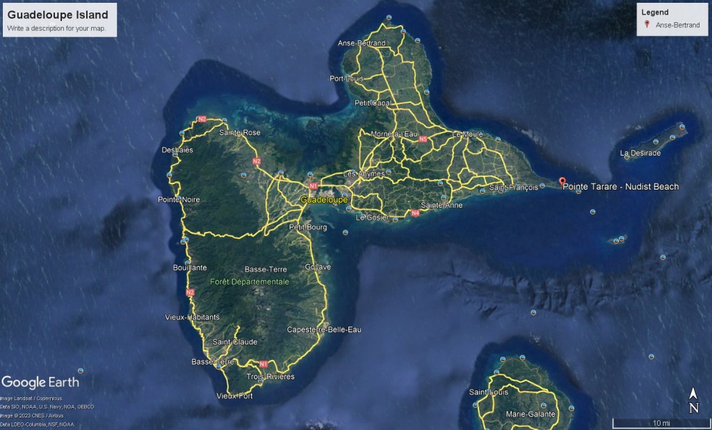
Imaged above, our next port-of-call was Guadeloupe Island. Guadeloupe is an archipelago of France in the Caribbean. It is located in the Leeward Islands in the northern part of the Lesser Antilles, a partly volcanic island arc. The two main islands are Basse-Terre (west) and Grande-Terre (east), which form a butterfly shape as viewed from above, (the two ‘wings’). Basse-Terre is mountainous and has active volcano called La Grande Soufriere, (the highest mountain peak in the Lesser Antilles with an elevation of 1,467m). I was interested in climbing this volcano.
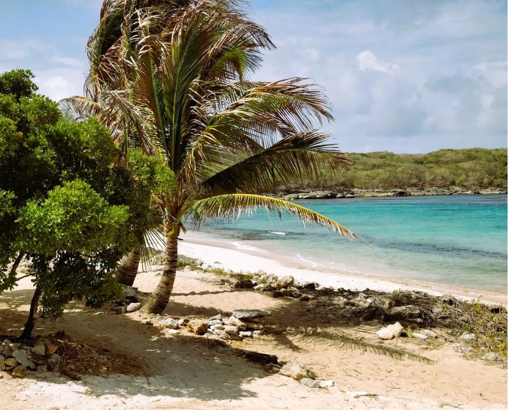
However, when we debarked off of the ship at Pointe-a-Pitre of Guadeloupe, I couldn’t find a driver that would take me to the volcano. They all refused! So we asked a driver to take us to the best local beach for snorkeling. He took us to Anse Tarare or Pointe Tarare. And, to our surprise, this was a nude beach for the locals and tourists. Luckily, it was a clothing optional beach and we decided to go clothed. We were the only clothed and shy people on the beach.
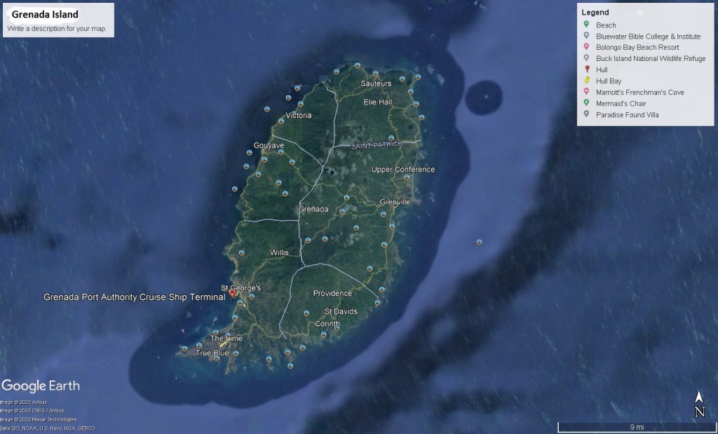
Imaged above, our next Port-of-call was the island of Grenada. Grenada is its own island country in the West Indies of the Caribbean Sea at the southern end of the Grenadines island chain. Grenada is the southernmost island in the Antilles archipelago, bordering the eastern Caribbean Sea and western Atlantic Ocean.
Grenada is of volcanic origin, as evident in its soil, mountainous interior, and several explosion craters, including Lake Antoine, Grand Etang Lake and Levera Pond.
Several small rivers with waterfalls flow into the sea from these mountains. The coastline contained several bays, most notably on the southern coast which is split into numerous thin peninsulas, (pictured above).
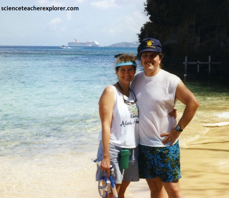
Once Becky and I, tendered out from the Cruise ship, we booked a boat from a local vendor to take us to a unpopulated beach for snorkeling and laying around in the sun, (pictured below). The climate here was tropical: hot and humid in it’s February dry-season.
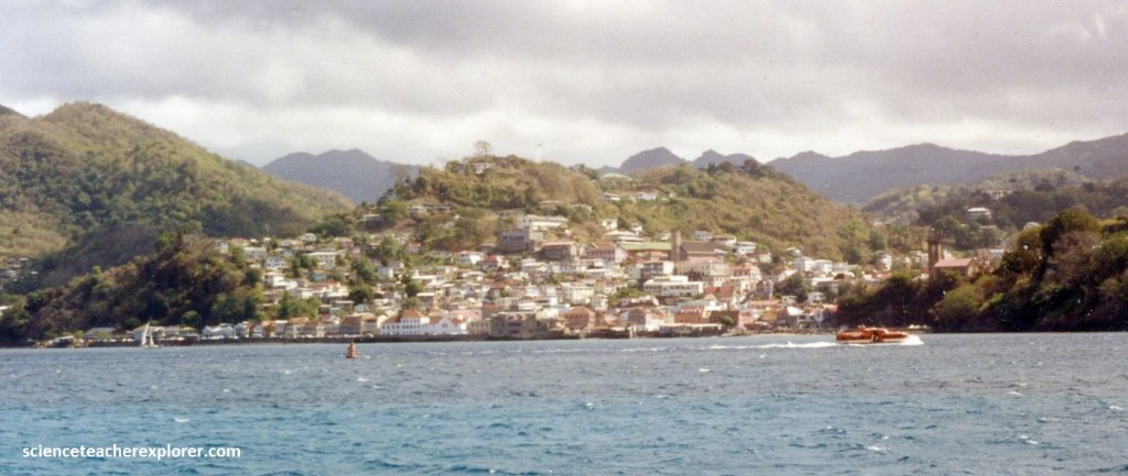
As mentioned, most of Grenada’s terrain was made up from volcanic activity that took place 1–2 million years ago. There would have been many unknown volcanoes responsible for the formation of Grenada including Grenada’s capital St. George’s with its horseshoe-shaped harbor.
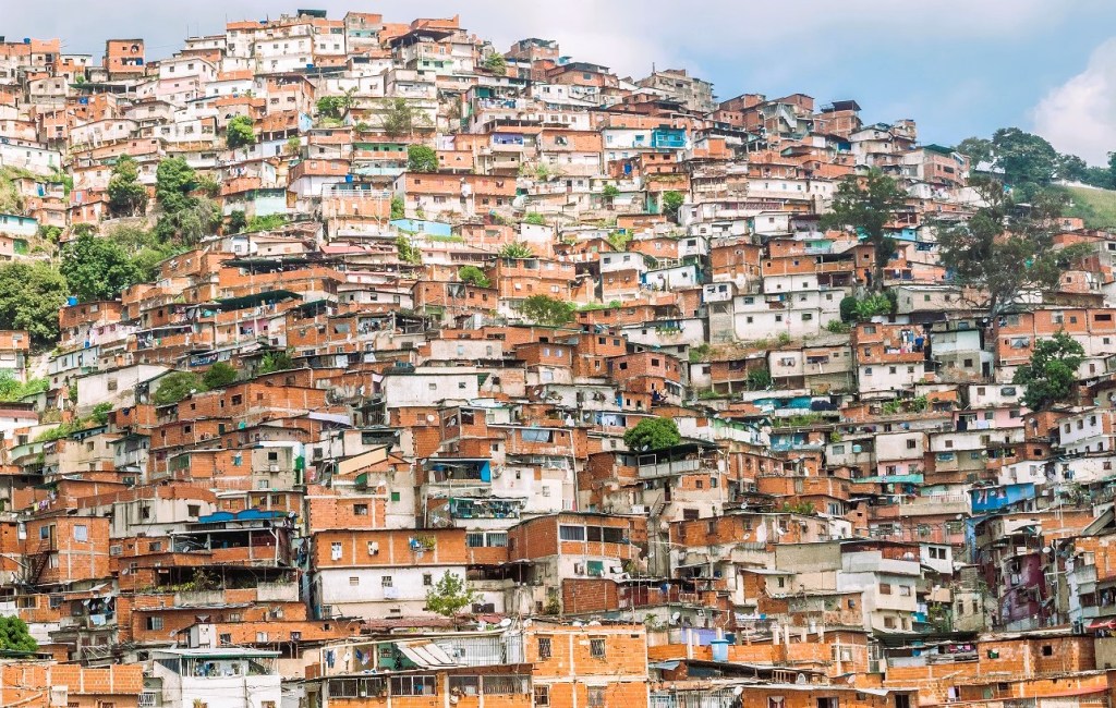
Our next port-of-call was in Caracas, Venezuela. Pictured above, all we could see from the ship was a cluster of red brick buildings exposed or covered with colored plaster, held up by concrete structures to even out the difference in height caused by the slopes of the mountains surrounding the Venezuelan capital of Caracas. The roofs were made of sheet metal and other makeshift materials, suggesting a certain precariousness and poverty of this urban sector. I am sure if we had gone that further into the city, it would of had the modern-look of skyscrapers, but we chose to stay in the cruise-terminal for safety reasons. This location seemed to be the most crammed-slum I had ever seen in my life.
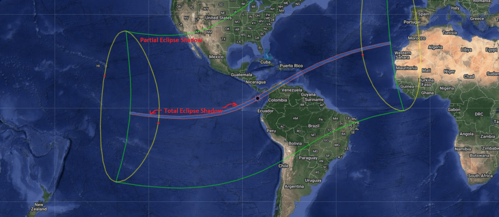
The next day of our cruise was Eclipse day, February 26th. The image above shows the shadow zone across the earth. It is important to note: There are four main phases of a Total Solar Eclipse:
- First Contact starts when the Moon’s path starts to pass in front of the Sun.
- Second Contact is minutes before the Moon is directly in front of the Sun. Here the Sun shines through craters on the surface of the Moon creating an effect known as Baily’s Beads and leads to the Diamond Ring effect.
- Mid Eclipse is when Totality occurs. During totality the sky goes dark, animals go quiet, and even the temperature drops. This is the only time to be able to look at a solar eclipse without needing eye protection, but it only last briefly, sometimes less than a minute.
- Third Contact is the point right after totality as the Sun’s light is revealed again. The Diamond effect will occur again, followed by Baily’s Beads as the Moon continues its orbit around the Earth
- Fourth Contact is the last point in which the Moon is blocking out any of the Sun’s light and the eclipse has finished
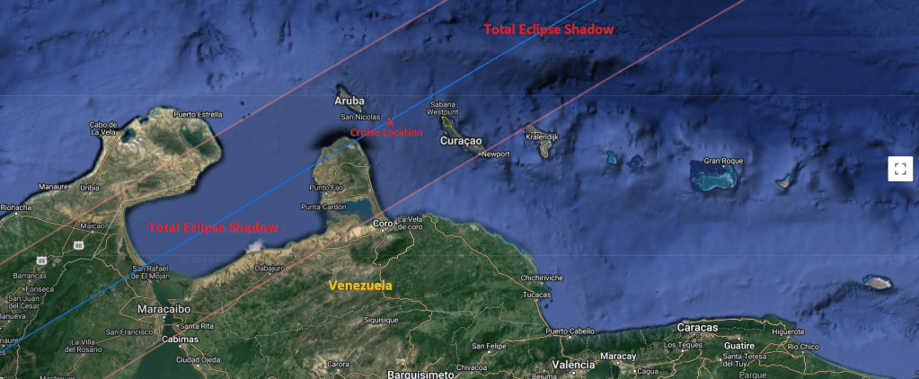
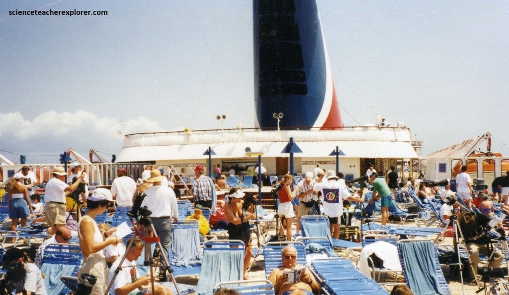
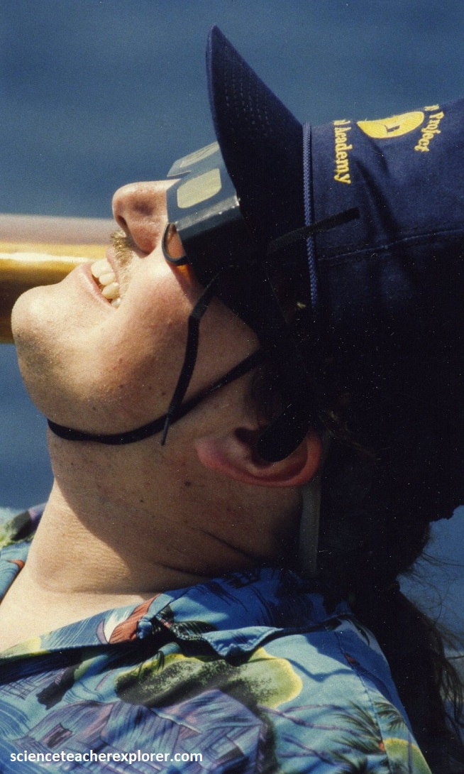
One of the most unique features of this eclipse cruise was that we had a two choices for eclipse viewing. On eclipse morning, the cruise ship docked briefly in Oranjestad, Aruba to disembark passengers who wanted to observe and photograph the event from dry land. The cruise-ship then departed heading southeast to the center line carrying those who wished to take advantage of a slightly longer totality and the improved odds the ship’s mobility afforded in maneuvering around any local weather disturbances. We decided to stay with the ship, since this was our first eclipse. {The video below is Part 1 of the eclipse. It starts out with a look at Aruba, just after we dropped off the Land-viewers}.
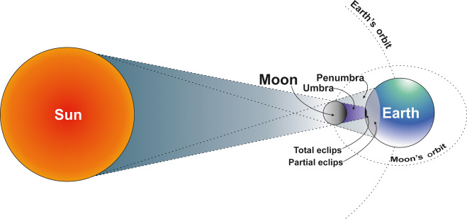
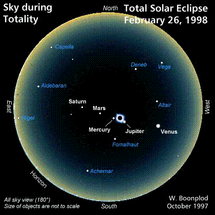
A Total Solar Eclipse happens during the daytime, and is when the Moon passes directly between the Sun and Earth. When this happens, the shadow of the Moon falls across parts of the Earth and if you are inside the area known as the Umbra, or directly in line with the Sun and the Moon, the Moon will block out the Sun’s light and we get to see the Sun’s corona, also known as its Crown.
Our Captain of the cruise-ship chose the 18:12 GMT center line position. He planned to rendezvous with the Moon’s shadow at a Latitude of 12 degrees 17.5 minutes North and Longitude of 69 degrees 43.0 minutes West.
{Note: Some of the video clips, (the silent ones) above and below were provided by the cruise-ship}.
During the totality of the eclipse, the corona was a classic solar minimum or elliptically shaped corona. The western equatorial extension of the corona was broader and brighter. Near the north edge of the Sun’s disk and close to the point of second contact, a magnificent red prominence was visible, even to the naked eye. Surrounding the Sun were two brilliant planets: Mercury 4 degrees to the northeast and Jupiter almost 3 degrees to the southwest.
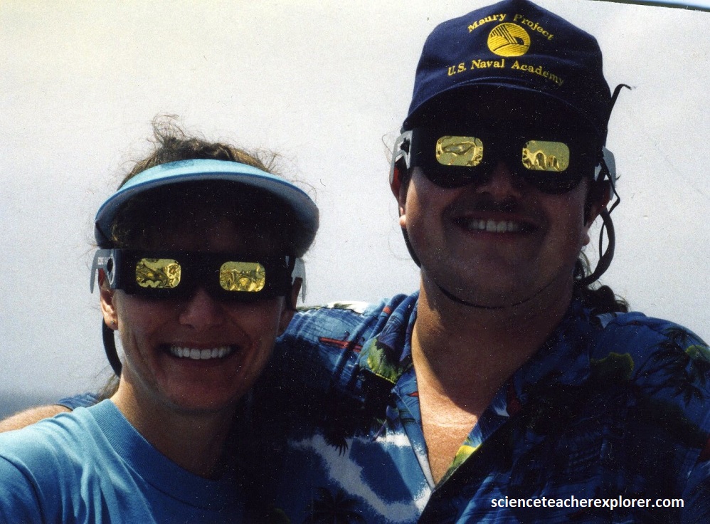
{Pictures below are taken during the 1998 Total Solar Eclipse near Aruba}
I recorded a reading of 96 degrees Fahrenheit at 1st contact, 79 degrees Fahrenheit at totality, then back to 95 degrees Fahrenheit at 4th contact. A change of an 17 degree Fahrenheit temperature swing on the sunny deck of the cruise ship.
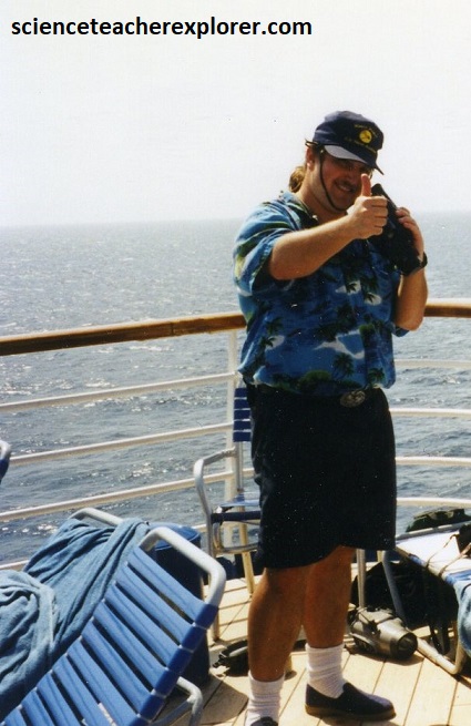
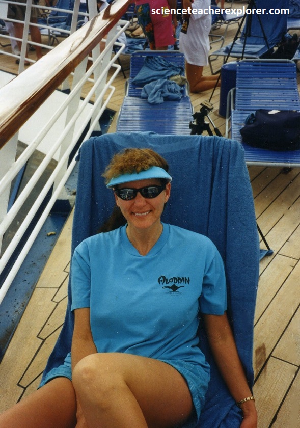
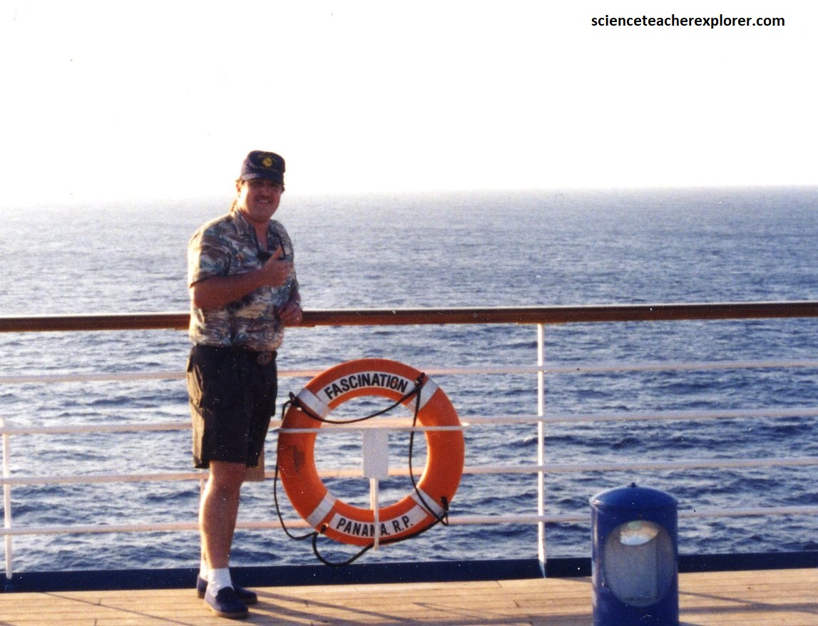
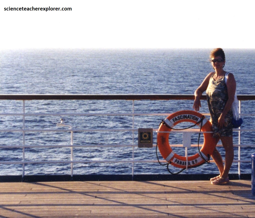
{Pictures seen below were taken in the afternoon of the 1998 Total Solar Eclipse, after Becky and changed into another dress}
Overall, the 1998 Eclipse Cruise was an absolutely beautiful spectacle. I would describe it overwhelmingly glorious! Since then, I’ve witnessed several.
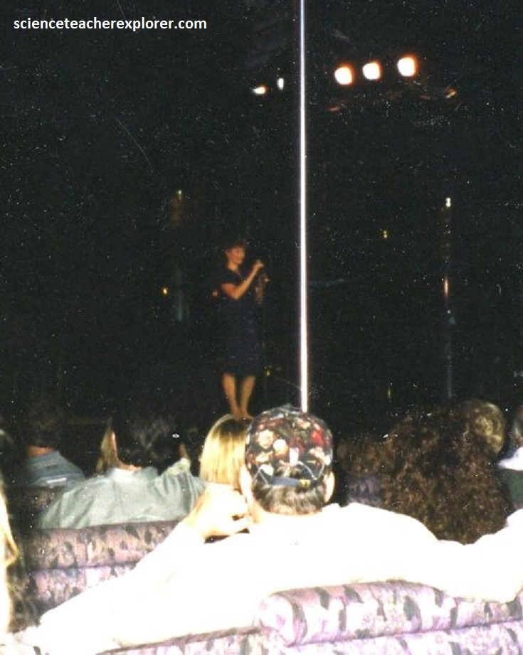
Pictured above, on the way back to the United States, Becky enters a Karaoke competition and wins! Her prize was to perform during the last formal night show of the cruise. The song she picked was “People” from the movie “The Way We Were”. The auditorium was packed with Eclipse participants.

