Clare C., Ireland 2001
Coming from Africa, in the summer of 2001, I brought a group of educators and my father to Ireland for a few days, (4), in exploring and trekking the country-side of Ireland, (imaged below).
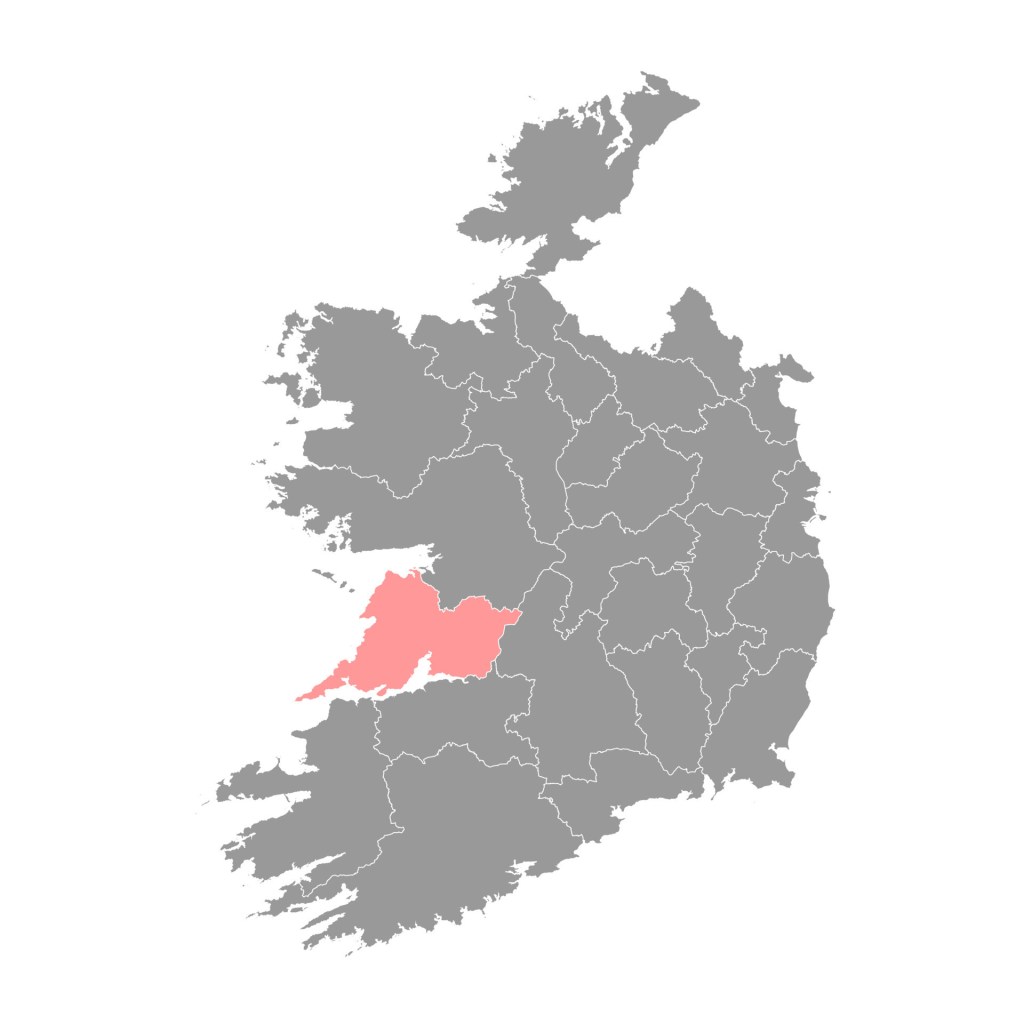
My focus was on the south-western side of Ireland, in Clare County, (imaged below). This was the area that my family was originally from, before my Great Grandfather & brother migrated to the United States in the late 1800s. Since I was traveling with my father, this was a perfect location to explore.
Traveling from London to Dublin by air, we then rented a car and drove along the narrow roads of the southern coast of Ireland to Dingle.
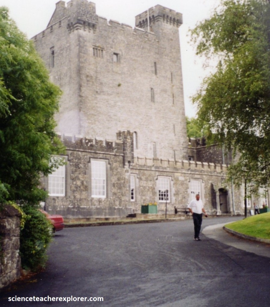
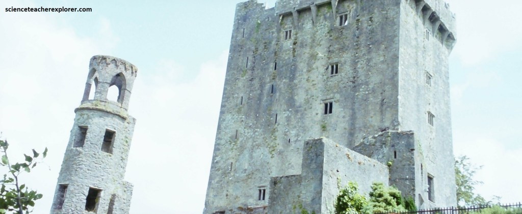
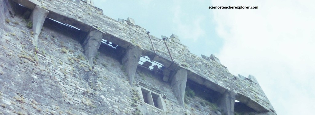
Along the way to Dingle, we made a brief stop at the Blarney Castle, (pictured above). There, the “Blarney Stone” is a block of limestone built into the battlements of Blarney Castle, (picture below). According to legend, kissing the stone endows the kisser with the “gift of the gab”, (pictured below). Perfect opportunity for the group of teachers that I was traveling with.
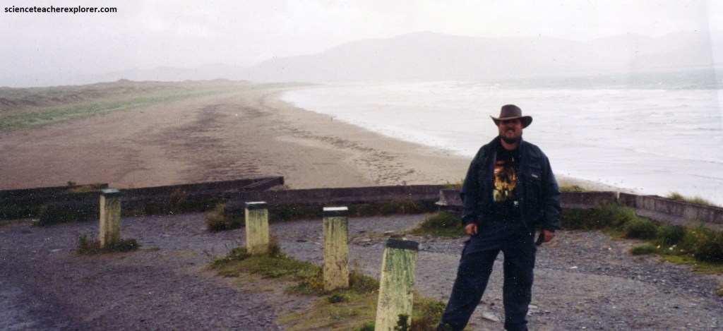
In Dingle, we had a pleasant night stay at a B&B near the beautiful shores of Dingle Bay, (pictured above). Dingle was a small port town on southwest Ireland’s Dingle Peninsula, known for its rugged scenery, trails and sandy beaches. It is also known for it’s nocturnal beat of Ireland’s best traditional music scene. Locals claimed that Dingle, with dozens of pubs for its 1,300 residents, had more watering-holes per capita than any town in Ireland.
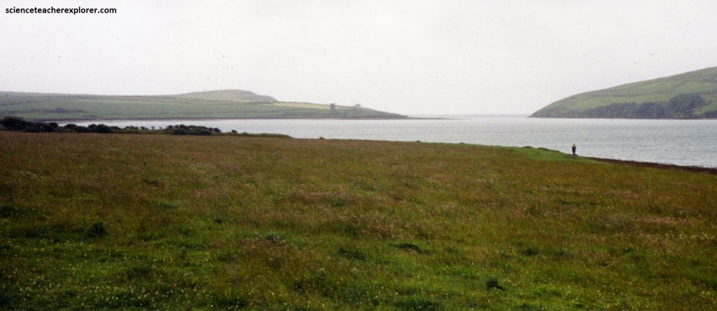
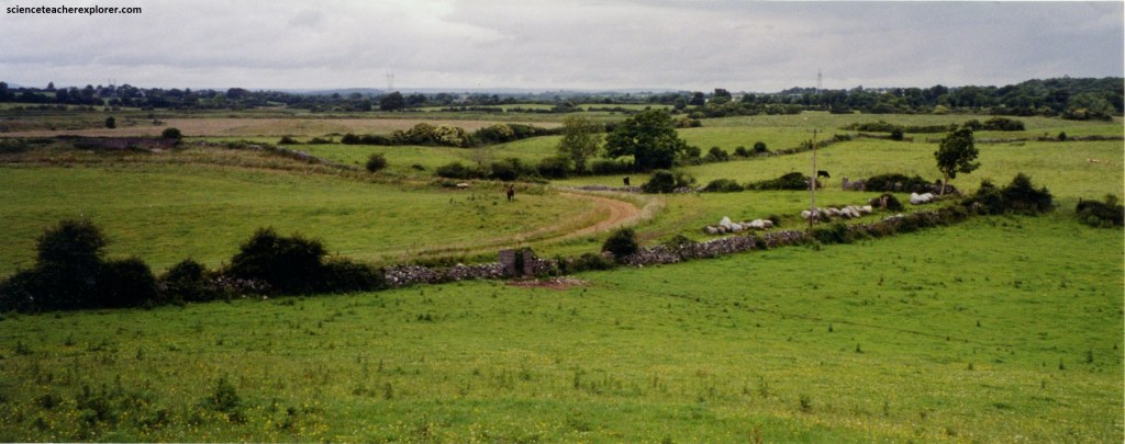
From Dingle, our group headed north to Ennis in Clare County. Physically, County Clare is clearly defined, with Galway Bay and the Shannon estuary to the north and south, Massive Lough Derg forming its eastern boundary, and the Atlantic to the west.
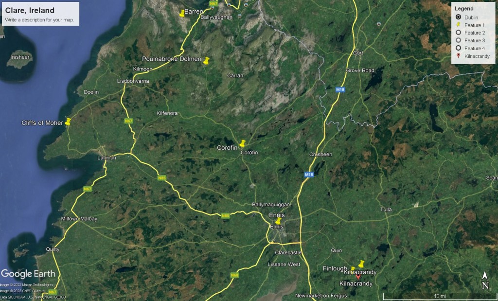
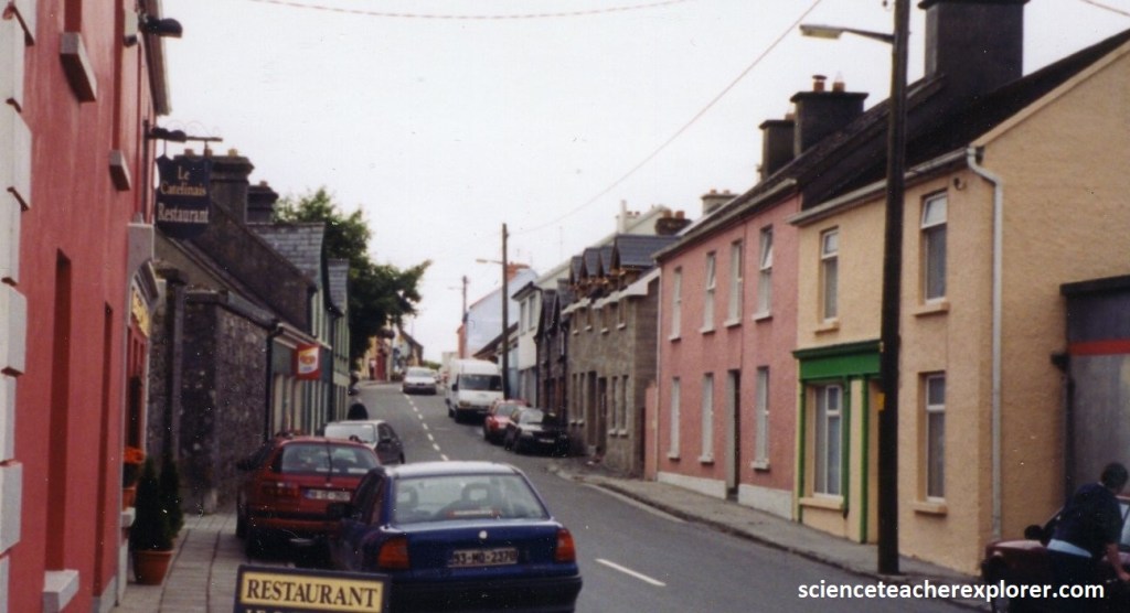
Imaged above, Ennis sits in a low-lying strip of land that runs from a deep inlet of the Shannon River right up to South Galway. Ennis, the county’s major capital-city, was a workaday Irish place with a medieval history, a great traditional Irish music scene, and a market bustle. However, it was small enough that we could walk from one side of town to the other in half an hour, and see all it had to offer in a single after-noon.
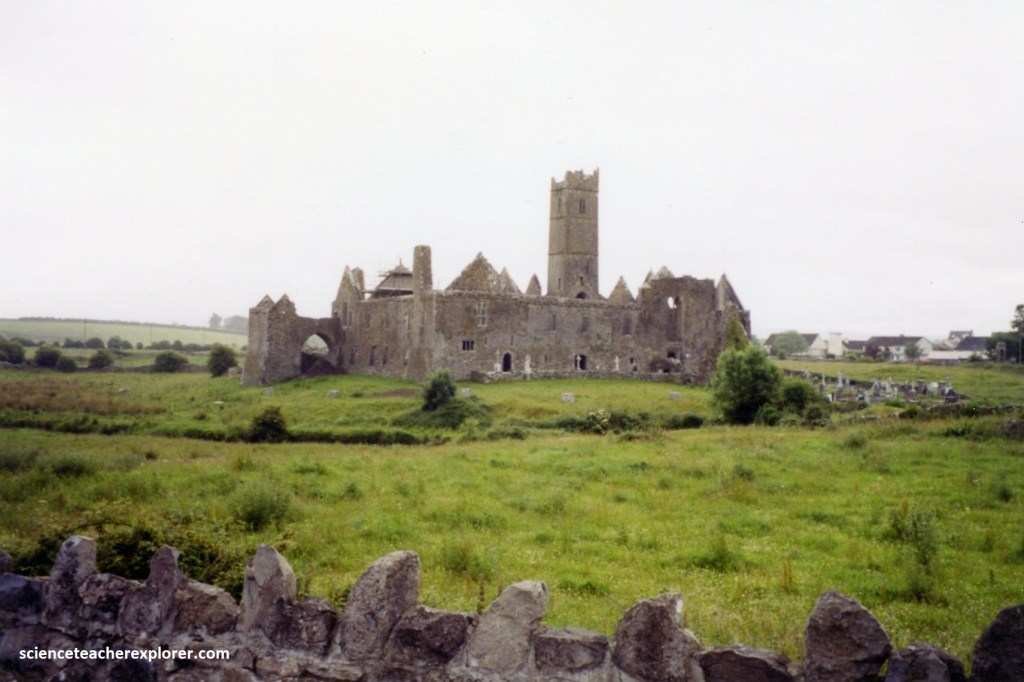
The finest monument in town, Ennis Friary, was found in the historic center. The Franciscan friary was founded by the O’Briens, Kings of Thomond, in 1242. At the time, the friary had 350 friars and over 600 pupils and was considered the finest educational institution in Ireland for the clergy and upper classes. In parts it remained striking; graceful lancet windows filled the east end of the chancel, while adjacent convent buildings included cloister ruins and stoutly barrel-vaulted chapter house.
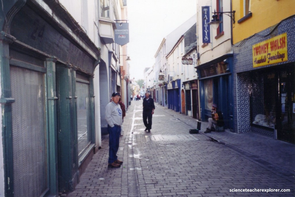
Despite the beauty of the Friary, Ennis today seemed more proud of its later history, as capital of the unyielding “banner county” and a bastion of Nationalism. The town center consisted of medieval narrow streets and laneways, overshadowed by structures built over the last thousand years, (pictured below). The town made an excellent base from which to explore the church ruins and tower houses dotting about the surrounding countryside that my ancestors came from.
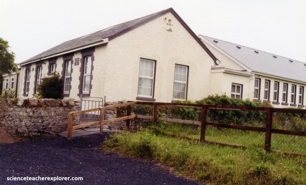
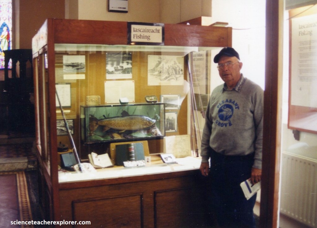
After exploring and staying the night in Ennis, our group headed north to a small village called Corofin. In Corofin, there was little to the main street where traditional music was dished up with tea and brown bread in a pleasantly relaxed atmosphere, (pictured below).
Pictured below, the Corofin village boasted the “Clare heritage Center”, which portrayed the traumatic period of Irish History between 1800 and 1860, (the time that my Great Grandfather James R. Lindsay and his brother John left this area after a violent-altercation from a school-teacher and James). The center focused on the horrors of famine, disease, emigration and the issue of land tenure of the time.
Successive failures of the potato crop from 1822 due to blight culminated in the Great Famine of 1847 and greatly swelled the tide of emigration. In 1841 there were 8 million people in Ireland; by 1861 this had dropped to 5 million, (the figure stands at just over 4.5 million in 2001). Corofin had a population of 994 in 1851 and by 1861 this had dropped to 741, (in 2001, Corofin’s population was 400).
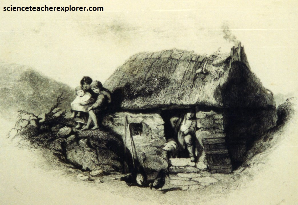
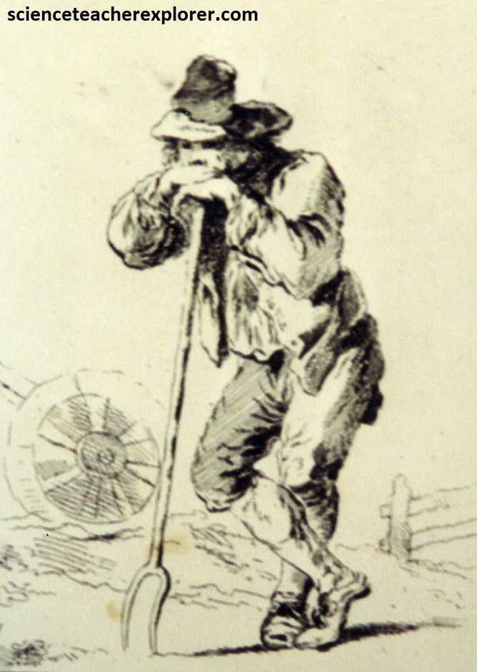
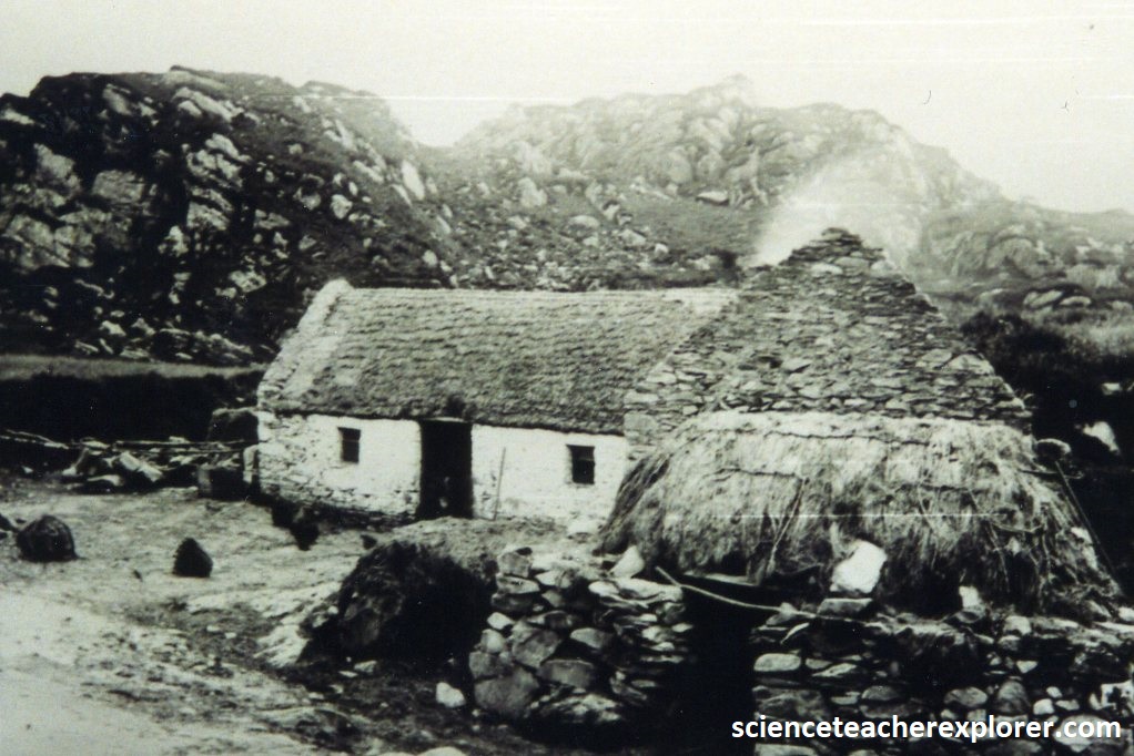
{The images above are depictions of the 1860s in Corofin, Ireland and taken from the “Clare Heritage Center” on site). There were over 1,300,000 deaths recorded officially in Ireland between 1841 and 1851. No records were ever made of whole families who died out or emigrated during the decade. In Corofin the hardest years were 1850 and 1851 when some people in the area were reduced to eating nettles and turnip tops in a vain effort to stay alive. In order to avoid starvation many people tried to enter the workhouses and at the peak of the famine in Clare, one person in ten was institutionalized. Following the famine, the Irish people feared a recurrence and many saw no future for themselves or their children in their native land.
The main reason for our visit at the “Clare Heritage Center”, was to meet with a historian, that I had hired previously, to find documentation on my family, (Lindsay). She had found a baptismal record of James Robert Lindsay in 1846 from the St. Brigid’s Church of the Corofin Parish. That was just down the street. Additionally, she found the family’s ownership or landlord papers of property in Kilnacrandy of Clare County, (south-east of Ennis).
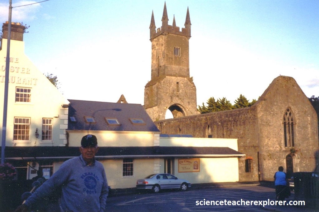
In the nineteenth century Ireland, the land was owned by landlords, many of whom were descended from British planters, (in our case, Scottish). [In Celtic times, and in Clare up to 1543, the tribe owned the land and the king or cheiftain was merely a leader of the people]. Land was leased by the landlord to tenants, (the general term of leases being for 31 years). Often a landlord would let to a middle-man who exploited the tenants. In the mid-1800s, 16,000 families in Co. Clare lived on less than 4 acres each while another 16,000 families had no land at all. During that time, the Corofin tenants had to also contribute 230 pounds/year to the maintenance of the Catholic clergy, (photographed below).
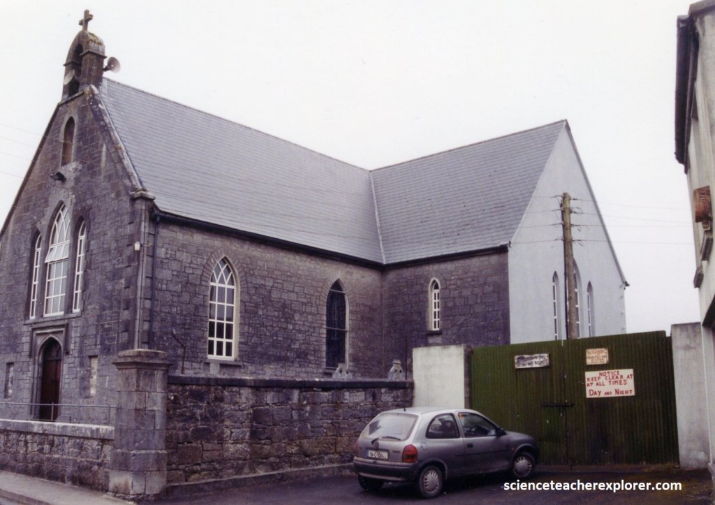
(Pictured above), we immediately walked over to the St. Brigid’s Church in Corofin. This was where my Great Grandfather was baptized as an infant in 1846. The main church of the Corofin Parish was the Church of St. Brigid, completed in 1823. This was possibly the first Catholic church in County Clare designed by an architect.
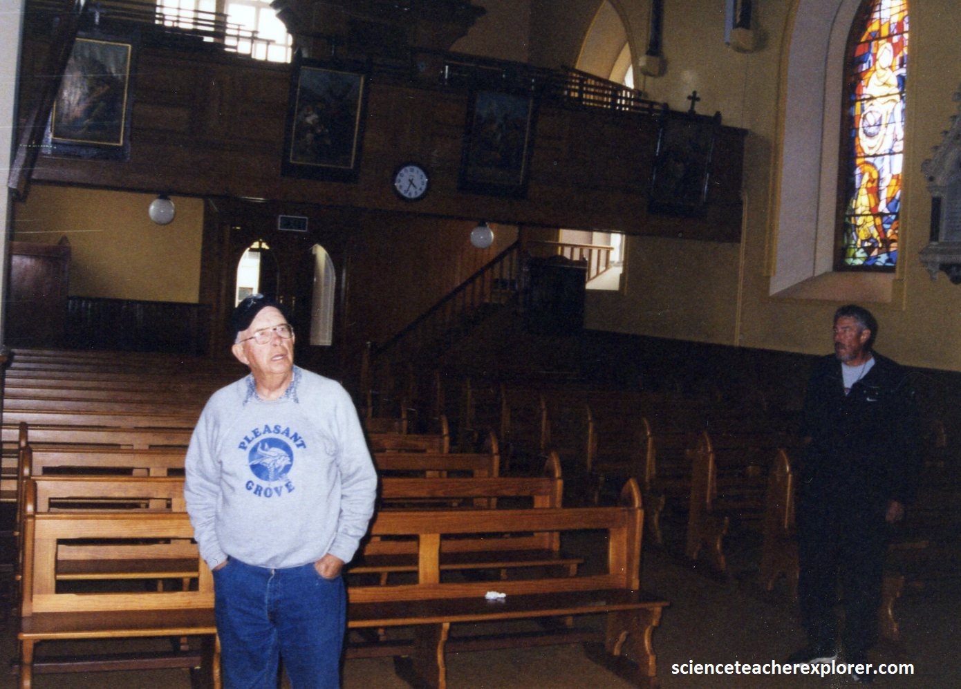
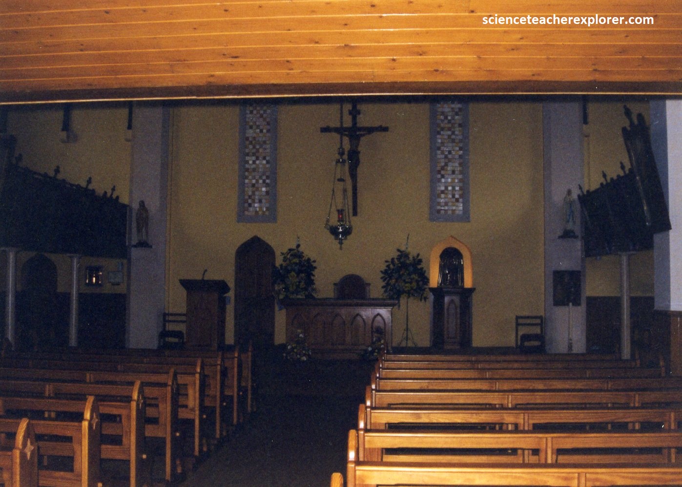
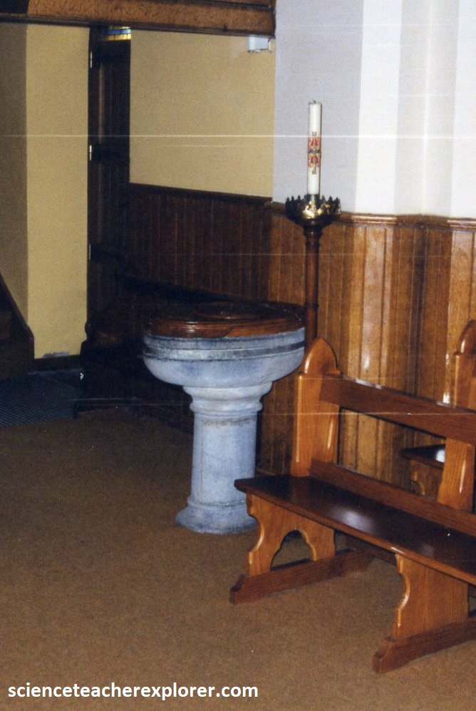
[Pictured above are photos taken in 2001, inside the St. Brigid’s Church of Corofin, Ireland. Note the baptismal font on the right was probably the one that my Great Grandfather was baptized in 1846.]
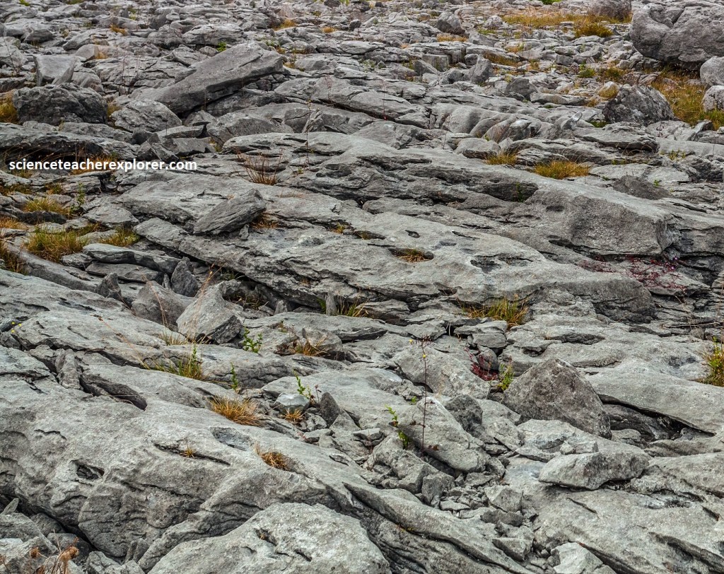
While we were in the area, we decided to drive north and then west to the Atlantic Ocean to visit and explore “The Burren” and the “Cliffs of Moher”. Pictured below, “The Burren” is Ireland’s ultimate rock garden, (a massive limestone pavement that rises gently to the shale-capped Slieve Elva in the northwest corner of County Clare). The pavements were formed in the sea 360 million years ago, but the landscape is he product of the last ice age, just 15,000 years ago, when ice scoured the land flat and left behind a scattering of untidy boulders, known as “erratics”.
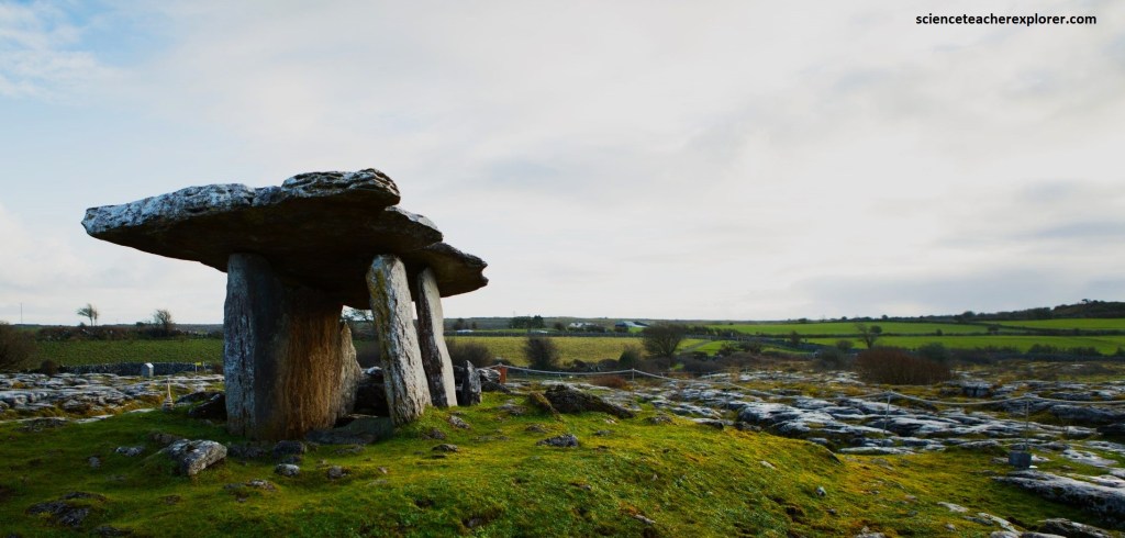
More recently, the limestone slabs, known as “clints”, have been weathered by rainwater into a network of cracks and crevices, known as “grikes”, into a landscape referred to as “karren”. Soil has accumulated in the fissures, providing a sheltered micro-climate for flowers such as the dense flowered orchid from the warm Mediterranean, to live side-by-side with plants that prefer alpine or even arctic conditions, such as the gentian verna and mountain avens. The Burren is the only place in Europe where this occurs. The Poulnabrone Domen is between 5,200 and 5,800 years old, and excavations unearthed the remains of at least 21 burials on site and is now considered a tomb.
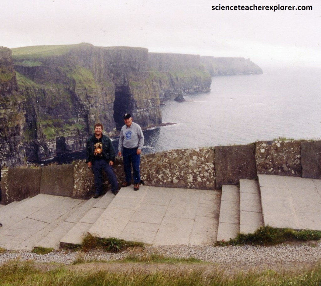
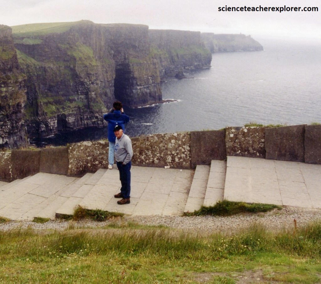
The “Cliffs of Moher”, a row of 200m high buttresses, defend a 8 km stretch of the coast of County Clare against the might of the Atlantic Ocean.
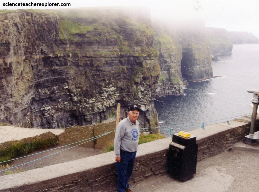
Pictured above, the cliffs were awesome, rising vertically from the sea, although they are not invincible from the sea.
The limestone base was laid down 300 million years ago in a warm shallow sea, and this is overlain by a succession of sandstone layers. The sediments were shaped by major earth movements but wind, rain, and sea salt are eroding the rocks so that sections occasionally fall into the sea.
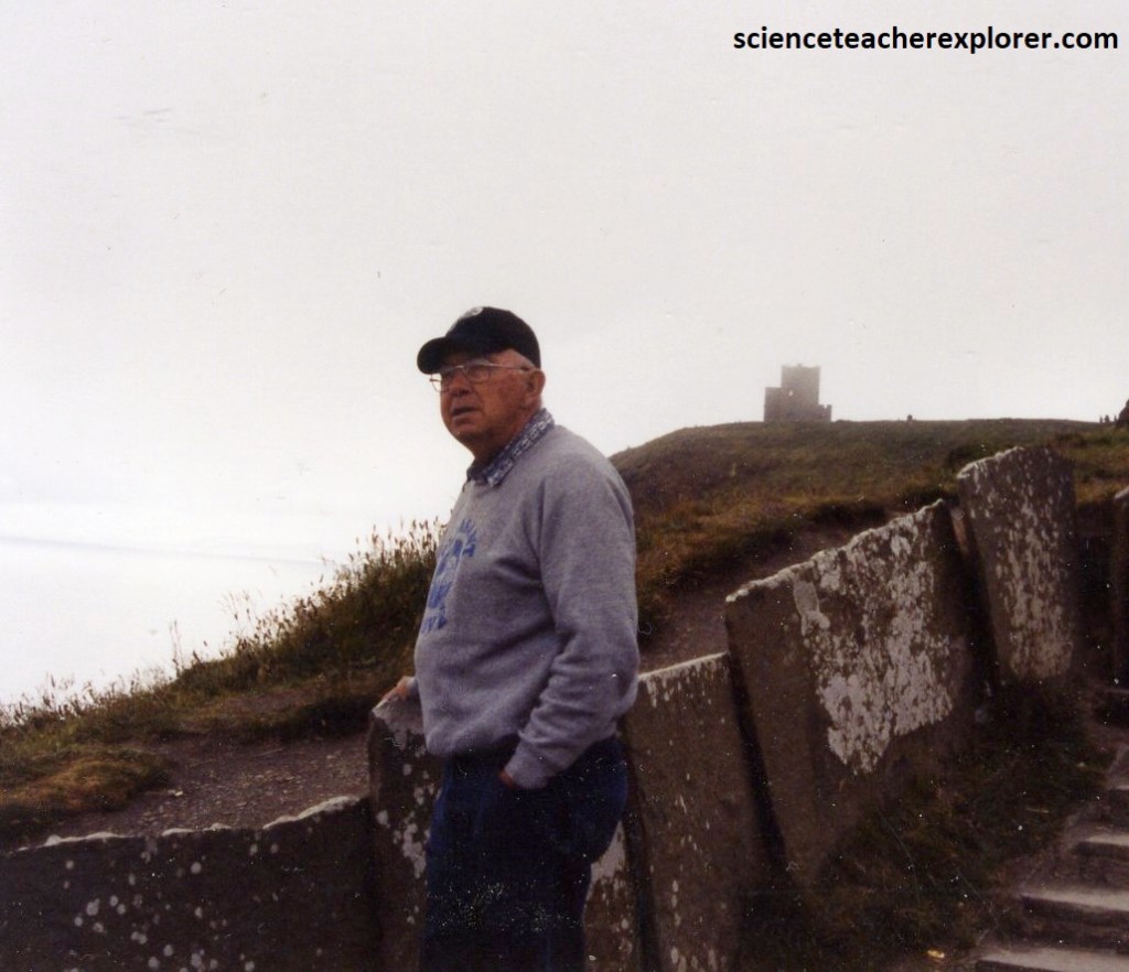
Pictured above, approached from either end by a clifftop path, we were drenched in salt spray blown up the cliff face by the strong westerly winds. Above us, O’Brien’s tower roosted at the end of our path. It was built on the cliffs in 1835 by local the landlord and MP Sir Cornellius O’Brien as an observation tower for the English tourists who frequented the cliffs at the time.
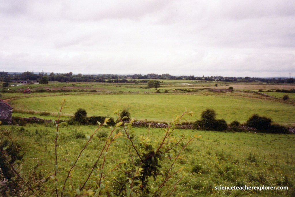
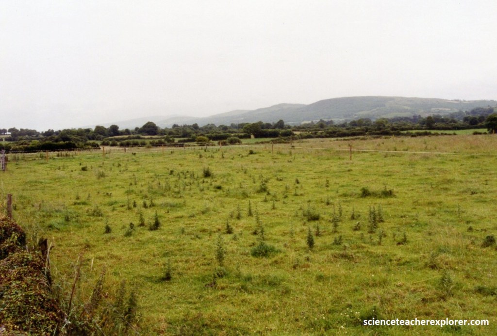
The next morning, we headed south-east of Ennis to explore the past homeland of the Lindsay’s in Kilnacrandy. Pictured above, to the south-east of Ennis were lush fields edged by white-grey walls and clumps of wild flowers; pinks, purples and yellows of willow herb and ragwort, the strong white horns of bindweed, and even the occasional orchid.
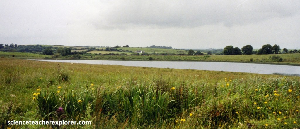
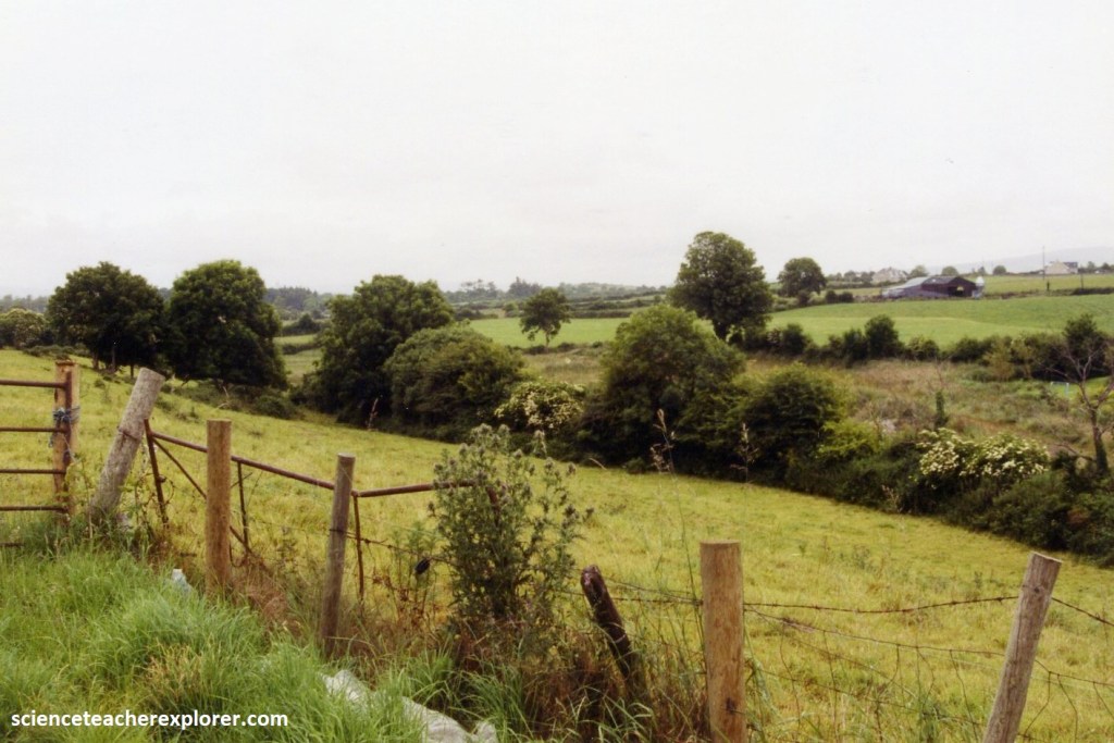
Further out, the land broke into little lakes and rivers before becoming gently hilly to meet the Slieve Bernagh Mountains & the Crochanembrydy Hills. This gentle farmland made for easy driving, and our trip was punctuated by village pubs and plenty of church ruins and castles, (pictured below).
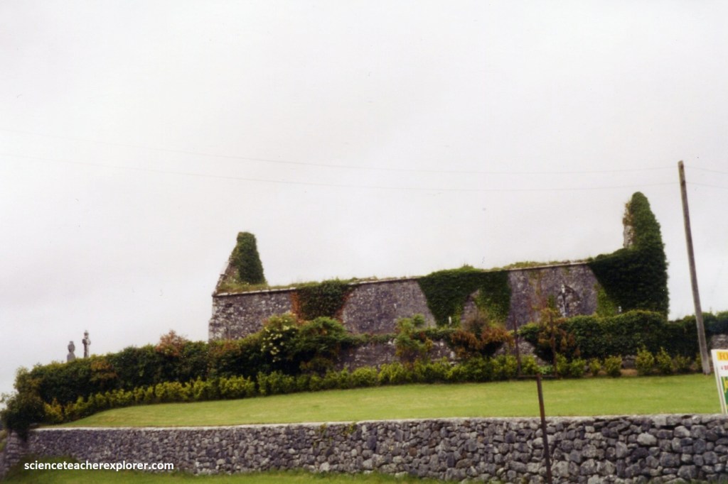
Pictured above, one of the most pleasant views east of Ennis was the “Quin Abbey”, the area’s best-preserved Franciscan friary, founded in 1433. The main church building was graceful, its slender tower rose clear over the high, open archway between chancel and nave and making a distinct outline against the green of the surrounding pastures. For all the uplifting beauty of the tower, the abbey seemed to have been built on a human scales, to function as a place in which to live and worship rather that to impress and dominate.
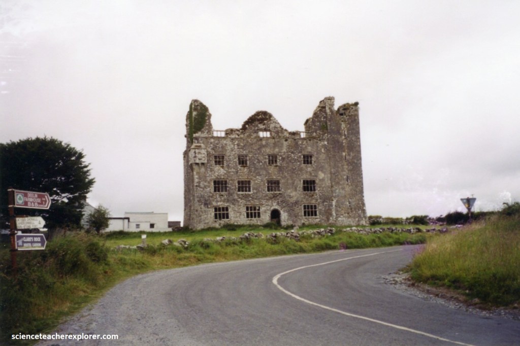
On the other hand, the massy walls of “Leamaneh Castle” emanate an awesome sense of power. Leamaneh Castle was originally a simple 5-storey Irish tower house, built around 1480-90. Its original owner was Toirdhealbhach Donn Ó Briain of the O’Brien family, one of the last High Kings of Ireland. According to legend, Leamaneh Castle is haunted by the ghost of “Red Mary”. According to the Irish, this young woman was locked up in a hollow tree in ancient times. She then perished inside and has haunted the nearby Leamaneh Castle ever since.
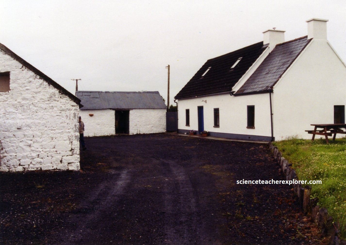
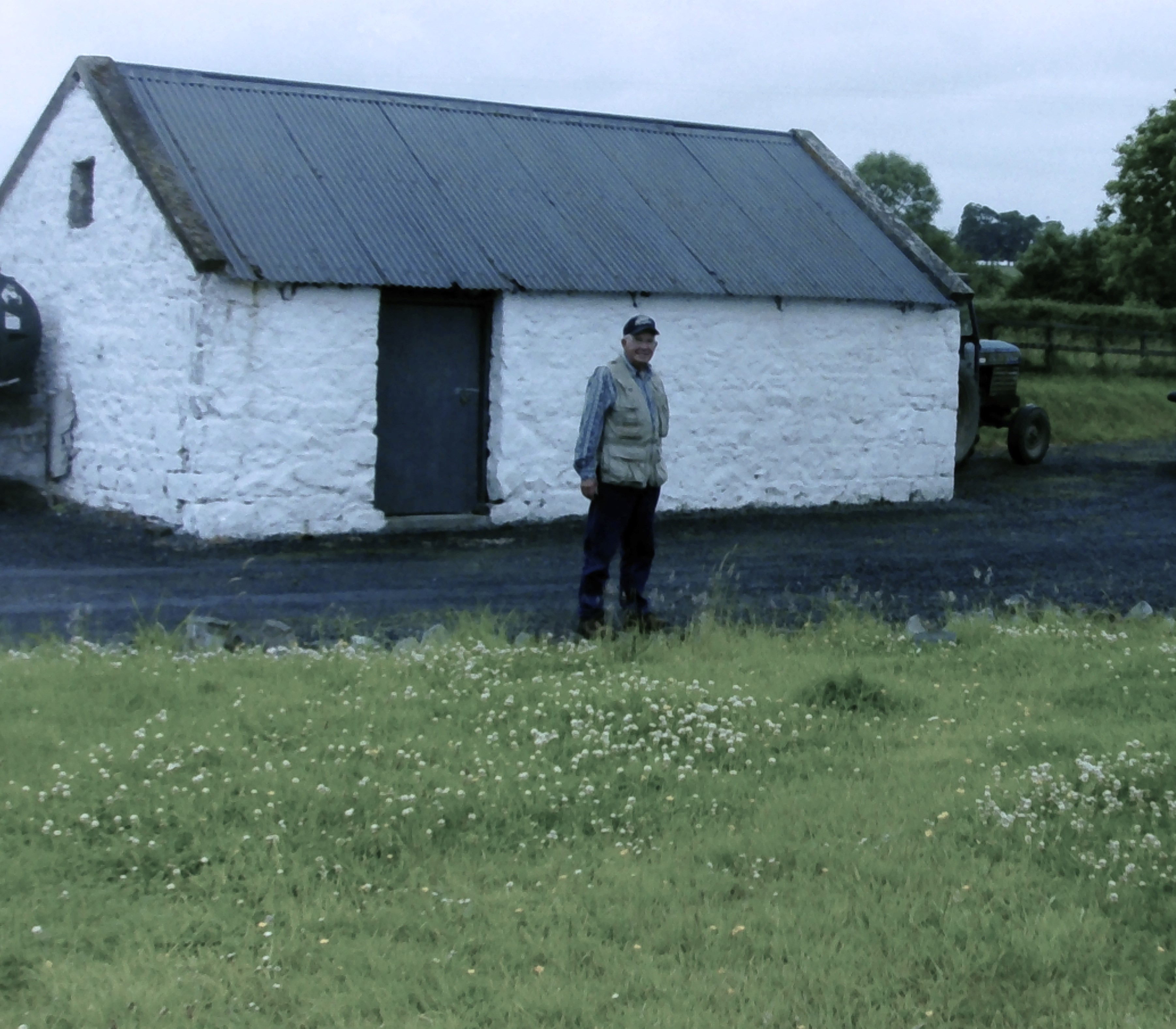
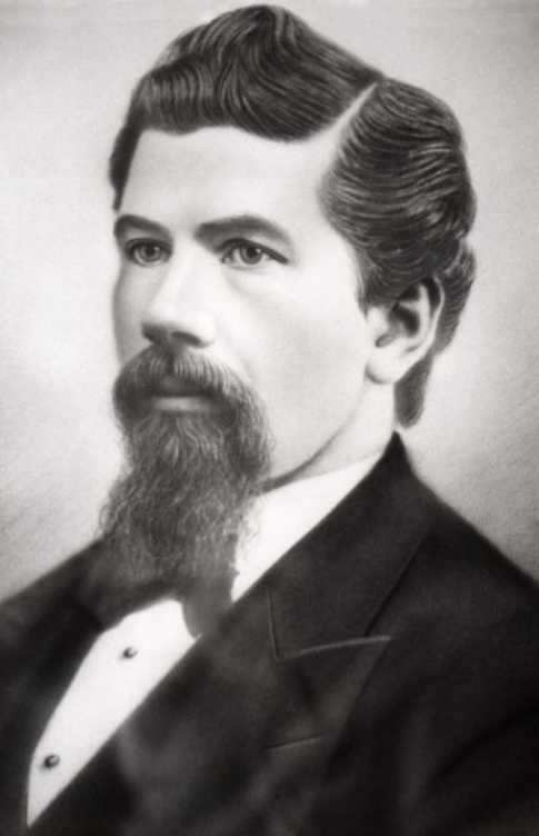
[Pictured above is of the Kilnacrandy “Lindsay” Property with 19th century structures; On the right is of James Robert Lindsay, (1846-1904), whom was raised there]{note; my father standing on the property of his ancestors}.
Once James Robert Lindsay ran away from home in 1860 with his brother John (2 years older). They jumped on a ship in the Limerick Harbor headed for St. Lewis, United States. John settled in St. Lewis and raised a large family (with no descendants) and became a fire-chief. James went west as a foreman of a crew with the railroad workers laying track for the Union Pacific Railroad. When the railroad was complete at Promontory Point in Utah, he mined in the White Pine area of southeastern Nevada. Later, he moved across the border to Utah and set up claims on several mines in Iron & Beaver Counties. In 1876, he married Alice Ann Woodhouse and raised a family. James was Justice of the Peace & saloon owner in Frisco, Utah for awhile. He died on Sept. 16th, 1904 in Beaver, Utah.
From cliffs to coasts, open limestone landscapes to lush hills, and snug villages to ancient heritage, County Clare had a plethora of places to explore and trek. Clare County had the perfect place to soak up the west coast of Ireland’s natural beauty. I can see why this area was the attraction for my ancestors of long ago.