Machalilla NP, Ecuador
In March 2022, my buddy Mike Stevens and I were trekking across Ecuador when we decided to explore the western coast, near Puerto Lopez. Particularly, we were interested in exploring the Machalilla National Park, just outside of Puerto Lopez.

Puerto Lopez is about 200 km northwest of the major city of Guayaquil, Ecuador. We first drove our car rental to Jipijapa from Guayaquil, then took the coastal road south to Puerto Lopez.
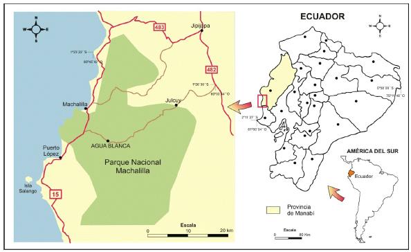
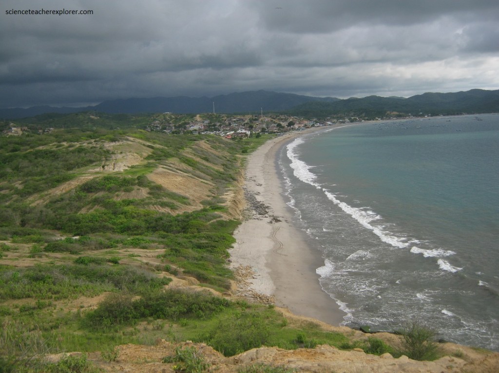
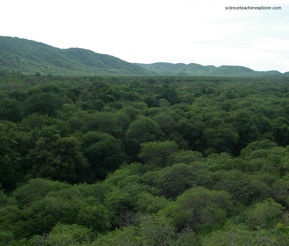
Imaged above, Machalilla has it all; dry forest, moist forest, sandy beaches, offshore bird-rich islands, coral-rich ocean, and splendid archaeological sites.
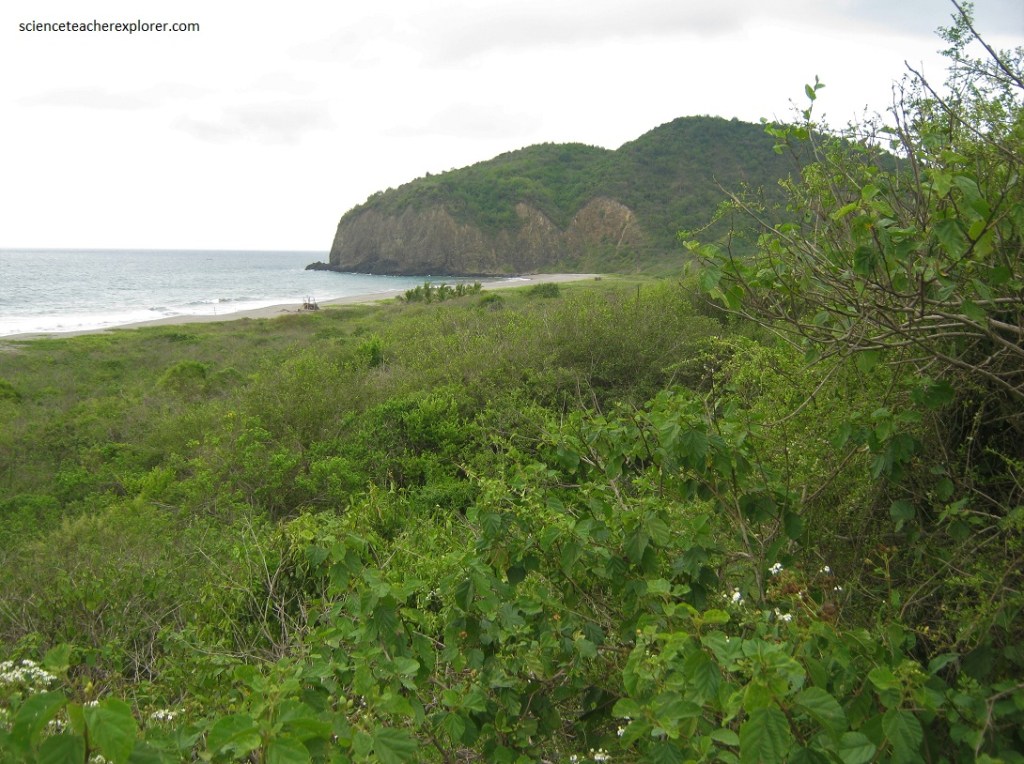
Coastal scrub forest once covered 25% of western Ecuador, but is now down to 1%, most of which is located here at Machalilla, (pictured above).
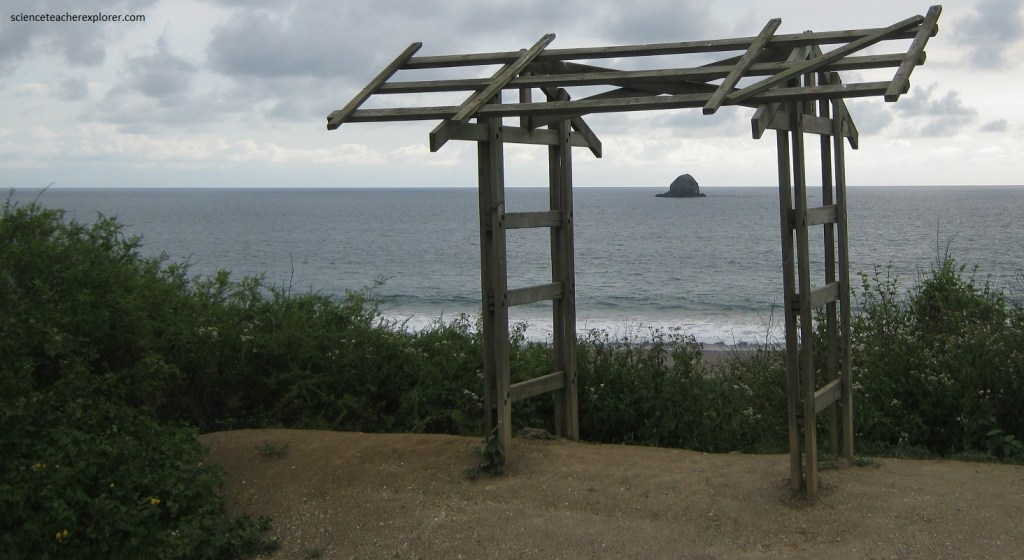
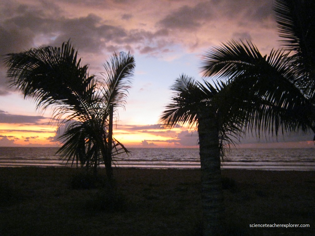
Pictured below, Playa Los Frailes is one of the most pristine beaches in the country. It is characterized by fine soft sand, crystal clear blue waters, and nestled amongst rolling hills. A portion of this tremendous beach is quarantined off by cliffs to protect breeding and nesting sea turtles.
Pictured below, Puerto Lopez is the Machalilla National Park headquarters. The main industries include fishing and ecotourism.
Pictured below, we stayed in Puerto Lopez, on the street closest to the beach, which had many restaurants, and cabanas that provided drinks. Fishing is an important activity in Puerto Lopez. In local waters there are Amberjack, dolphin, wahoo, marlin, and tuna of many different species.
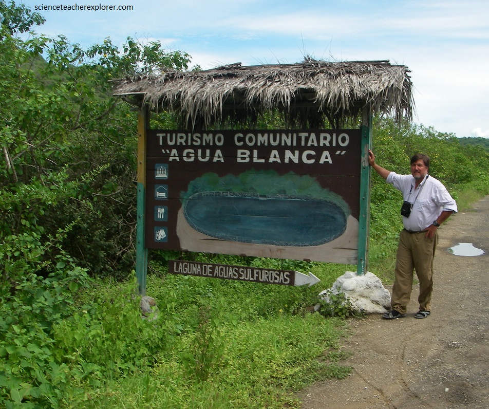
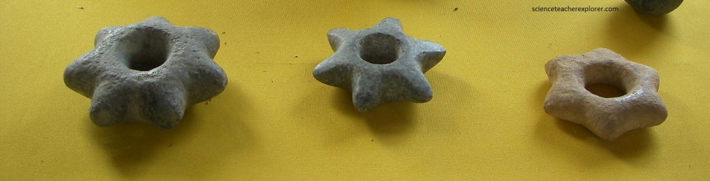
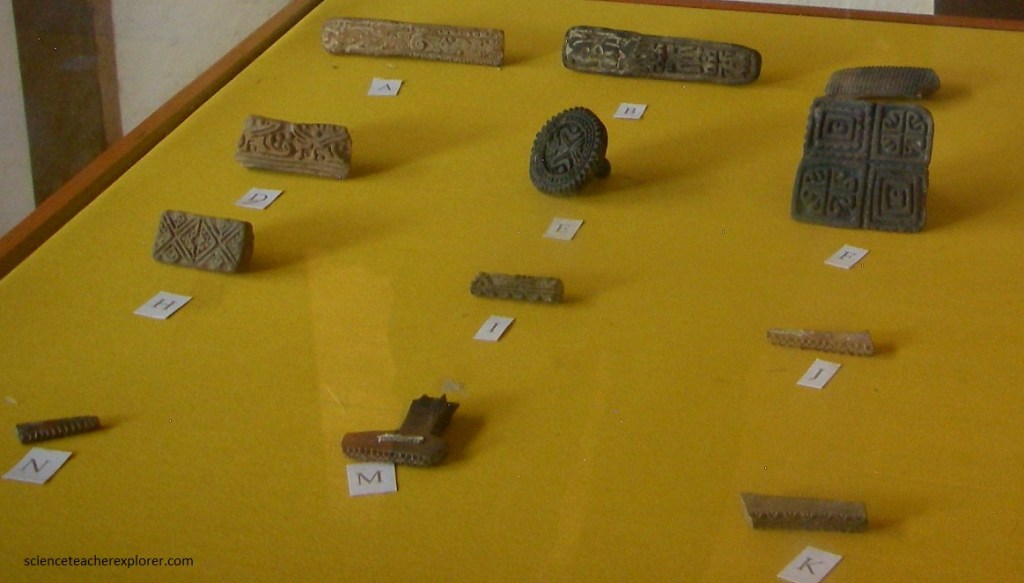
Picture below, Agua Blanca is located 5 kilometers north of Puerto Lopez; the commune maintains an archaeological museum with pieces of the Manteno – Huancavilca culture.
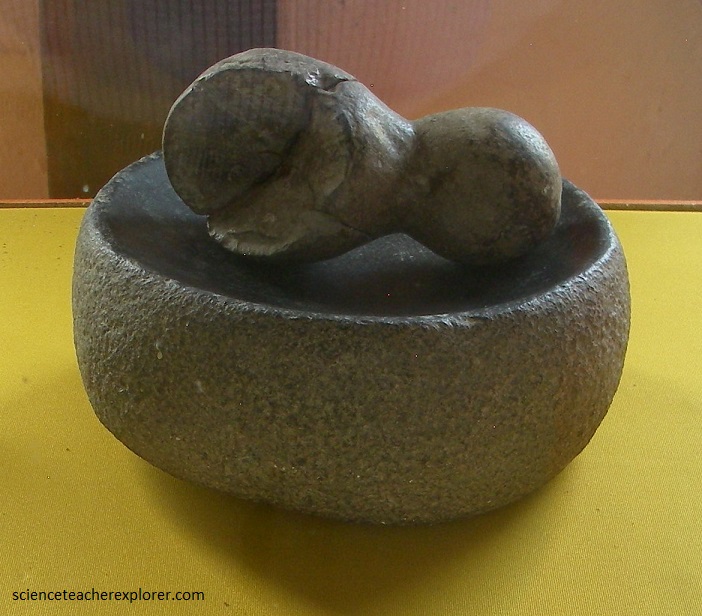
Picture below, in the Agua Blanca Museum, the famous stone chairs or power chairs have been found, which is why archaeologists consider that one of their civic ceremonial centers functioned here.
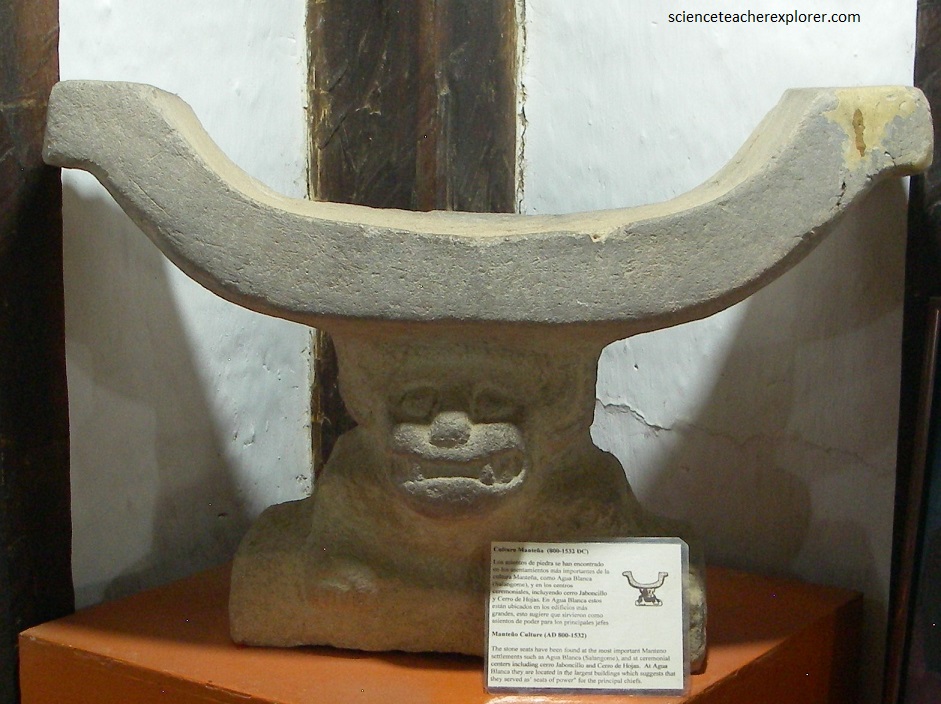
Pictured above and below, the stone seats have been found at the most important Manteno settlements such as Agua Blanca (Salangome), and at ceremonial centers including cerro Jaboncillo and Cerro de Hojas. At Agua Blanca they were located in the largest buildings which suggests that they wrved as “seats of power” for the principal chiefs.

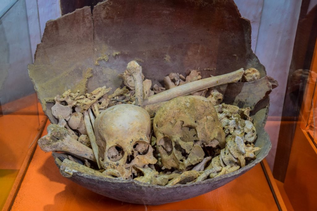
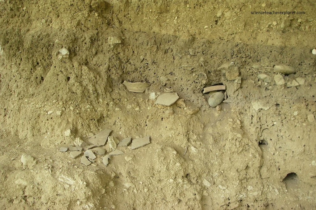
Agua Blanca one of the oldest archeological sites in South America, in the heart of the Machalilla National Park in Ecuador, on the remains of the Manteno culture’s pre-Columbian period. It is a mix of natural wonder, culture, and archeology. A set of temples, houses, and plazas typical of the Manteno culture, as well as archeological items and skulls, can be found on this site dating from 1500 BC, (pictured below).
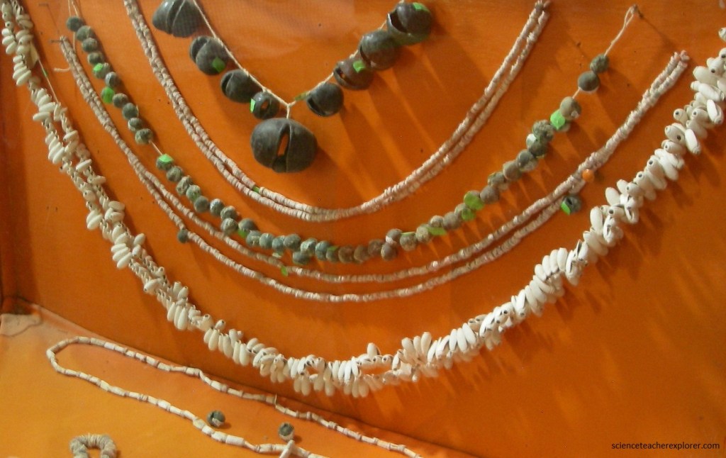
Pictured below, spondylus shells, a symbol of prestige, were used as payment in trading. Its inhabitants dominated the art of navigation and maintained commercial relations with other indigenous cultures along the coast of South America, as far north as Mexico and south to from Chile.
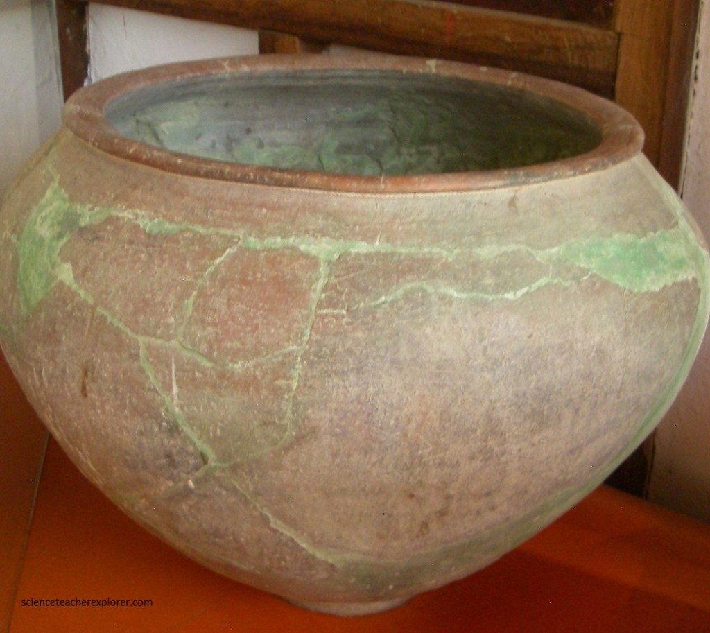
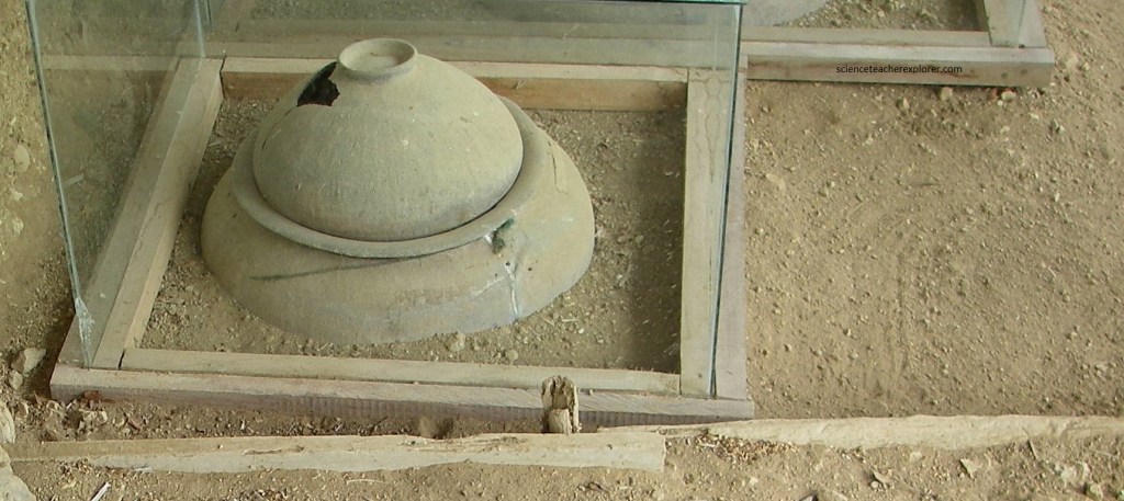
Pictured below, a “Funeral Urn” constitute the tangible, visual, ritual and religious memory that the inhabitants of the Manta culture used to bury their dead, which are located 100 meters from the community center and museum.
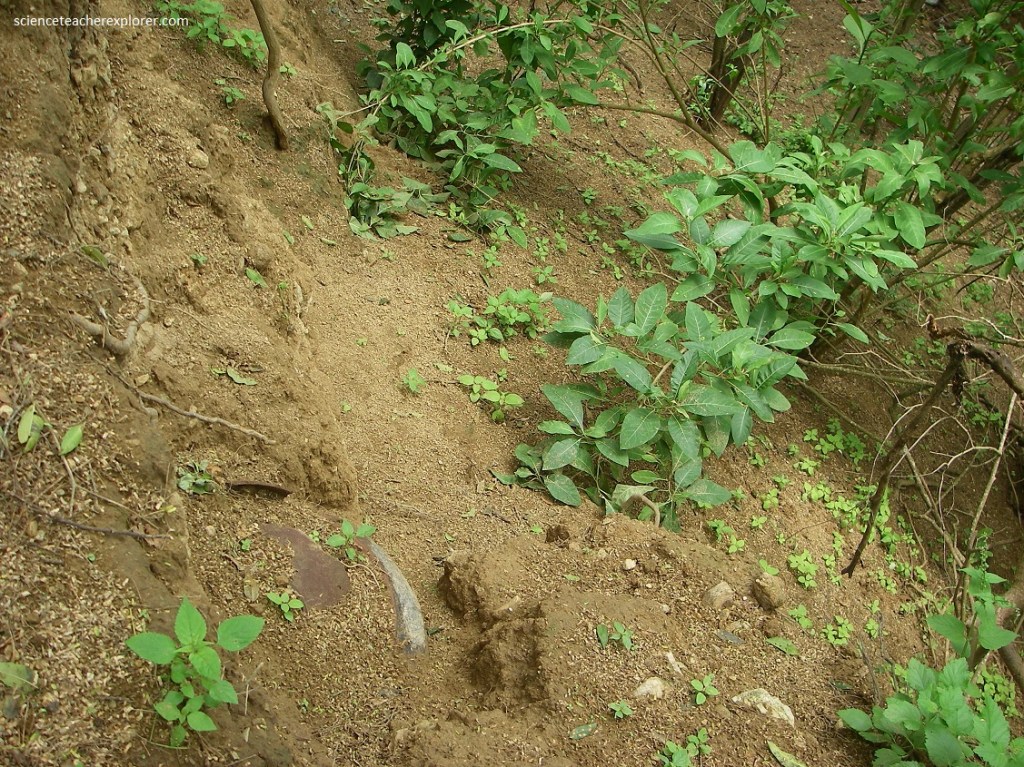
Pictured below, the remains of this fascinating native past are found in more than 500 archaeological sites along the Julcuy Valley. They include very ancient cultures, predecessors of the Manteno-Huancavilca (500 B.C.-1532 AD), such as: Bay, Chorrera, Machalilla and Valdivia. The latter is considered the oldest in South America (2600-1650 B.C.).
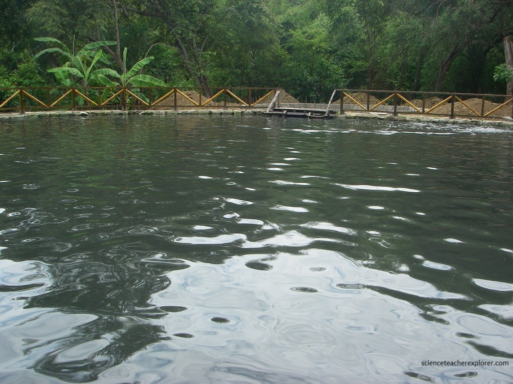
Pictured below, a natural sulfur lagoon can also be found on the Agua Blanca site and is accessible by tourists such as Mike and I. However, we chose not to take a dip.
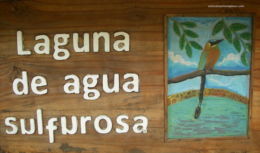
Pictured below, it is said the mineral waters and muds in the “Laguna de Agua Sulfurosa” can help the skin and wellbeing of visitors.
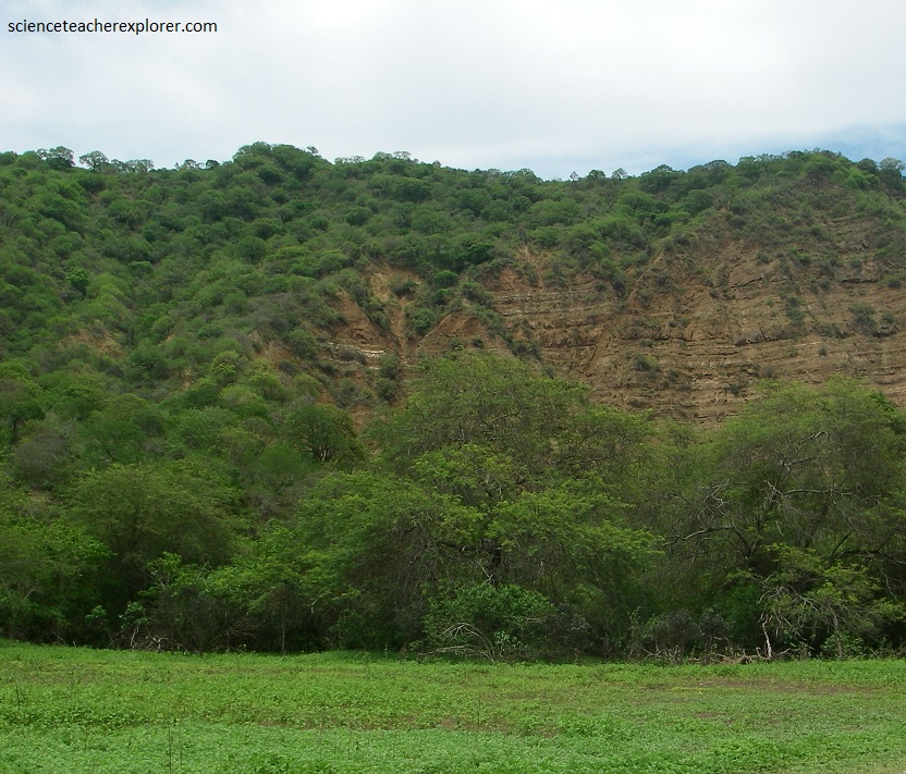
Pictured below, the Machalilla National Park has the the Cordillera Chongón-Colonche Mountain Range running through it. It is a coastal mountainous range that rose during the Oligocene (36 million years ago) in the Guayas Province and extends through the Manabí Province.
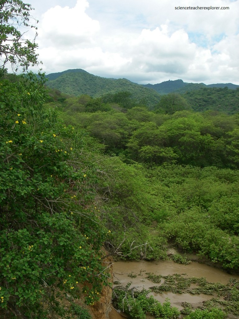
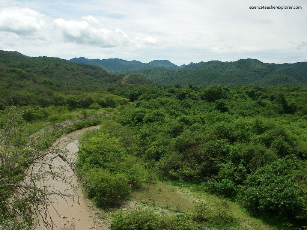
The distance from the Cordillera Chongón-Colonche Mountain Range to the coast is very short and as a result, there are only very small watersheds with just seasonal creeks. Pictured below, appears to be an Iron-stained mid-Tertiary shale and pyro-clastic flow deposits.
With climates ranging from semi-desert along the coast to semi-humid at the higher elevations, the rainfall varies from 161 – 1,120 mm, while showing great yearly fluctuations. The average annual temperature fluctuates between 23.5 – 24.5 ° C along the coast.
During most of the year, the dominating cold Humboldt current from the South causes very low rainfall, while the warm current from the North, makes the relative humidity rise, resulting in increased rainfall during the rainy season.
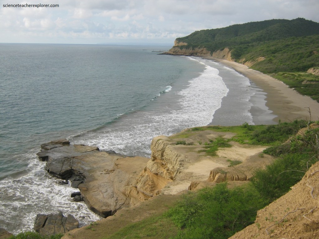
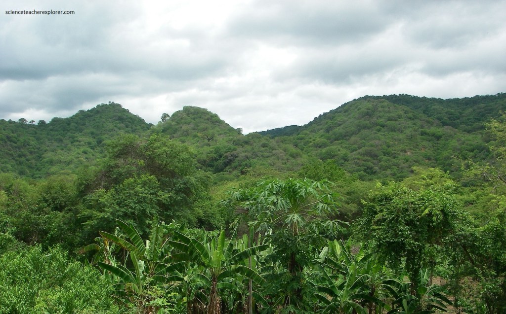
There are two differences climates zones: tropical arid, from the mouth of the Buena Vista river, to subtropical in the hills higher up in the hills of Perro Muerto and Punta Alta, (pictured above and below).
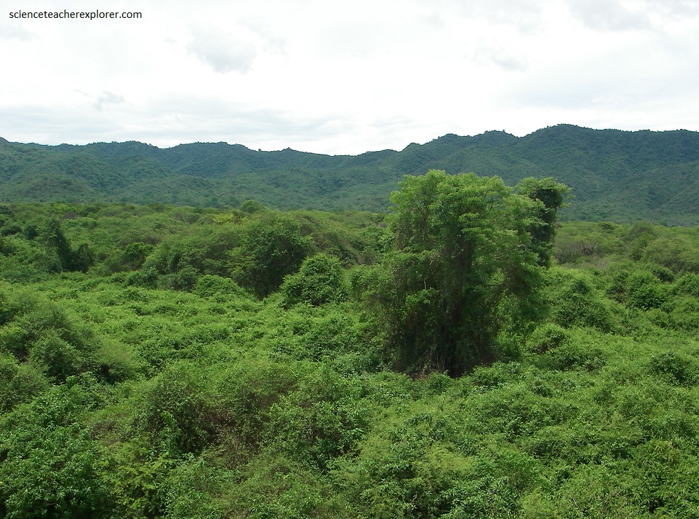
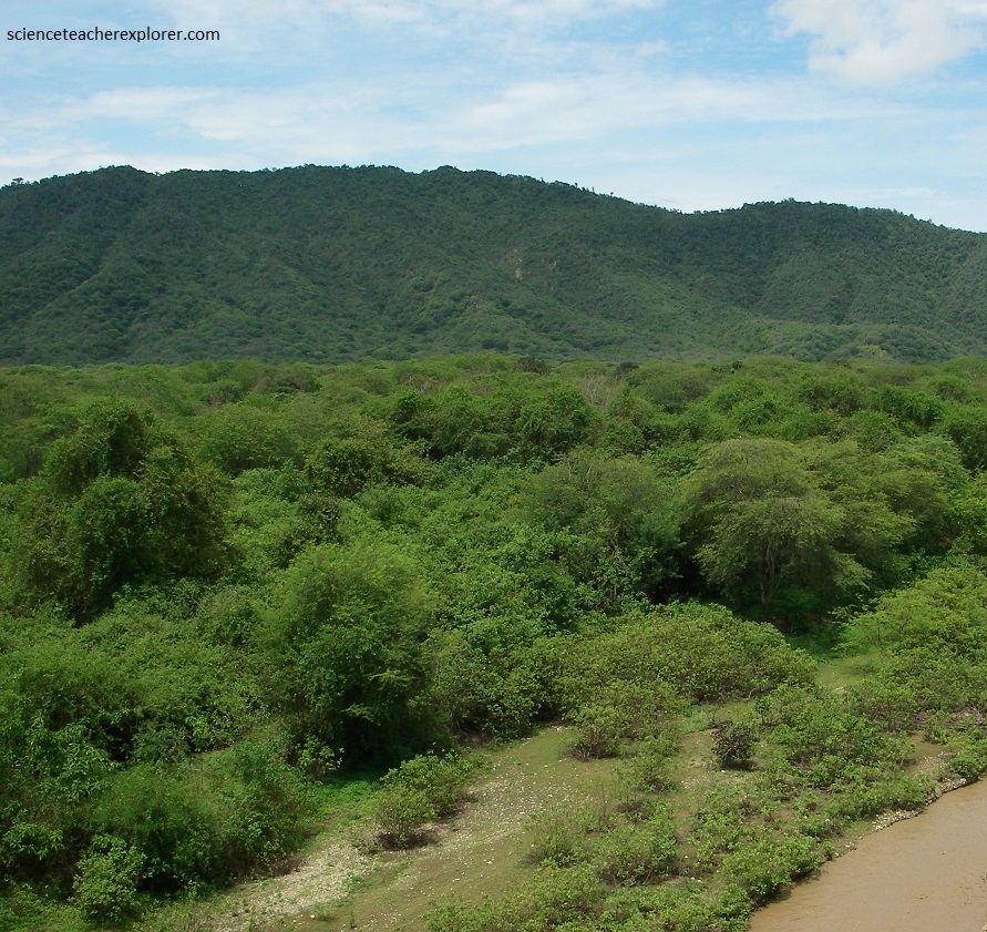
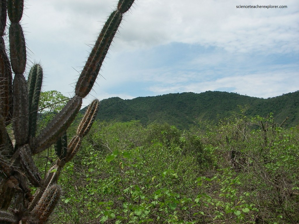
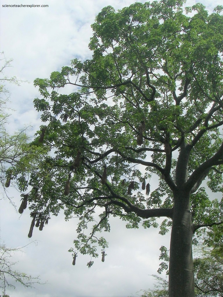
Pictured above and below, the scrub desert vegetation within the Machalilla National Park includes Opuntia cactus, algaroba trees, kapok trees, and palo santo trees.
The varied habitats of the scrub desert, dry forests, and fog forests give way to various wildlife that calls the park home. Birdwatching is one of the park’s common attractions, with over 270 species of birds migrating or nesting in the dry forest. The Peruvian screech owl, toucan, Golden-olive woodpecker, green macaw, weaver and the whooping motmot are some of the coveted sightings.
We would like to have seen the armadillos, iguanas, and monkeys that are scattered across the area, but no luck, while we were there.
