Sandia Peak, NM 2013
In November of 2013, Becky (my wife) and I had decided to spend Thanksgiving in Santa Fe, New Mexico. While on vacation, we had decided to drive down to Albuquerque and take the Sky Tram to the top of Sandia Peak. The Tram is on the northeastern suburb of Aluquerque.
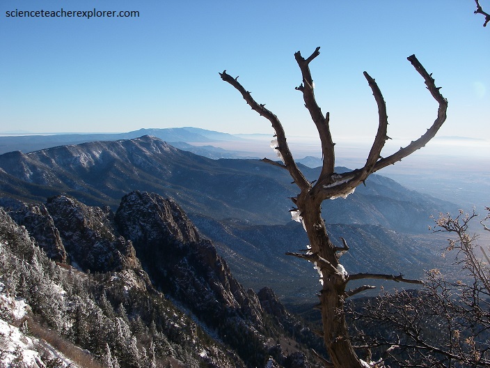
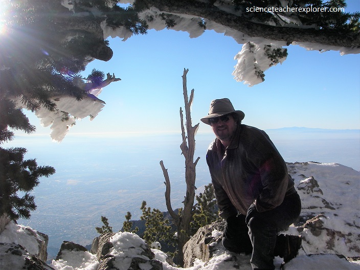
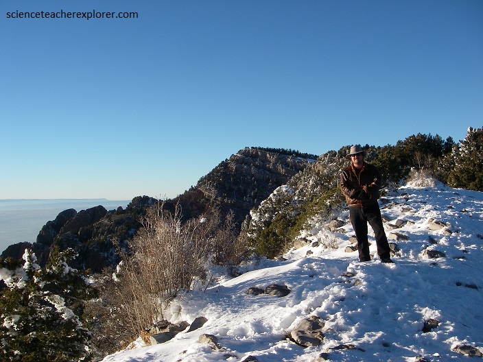
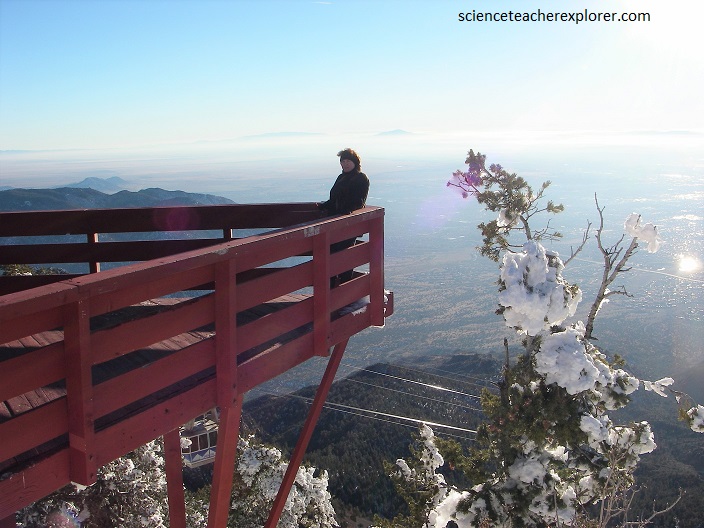
A trip on the Sandia Peak Aerial Tramway transported us above deep canyons and breathtaking terrain a distance of 4.3 km. Over this distance the tram cars ascend over 1,200 m. The average speed of the tram car is 19 km/h, and the length of the ride is approximately 15 minutes. At sunset the desert skies produced a spectacular array of color, and our vantage point from the observation deck atop 3000 m Sandia Peak in the Cibola National Forest we could look down into the Las Huertas Canyon.

The Sandias are a small range, a part of the Basin and Range Province, but built by a different phenomenon, consisting of a single north-south ridge, which rises to two major summits: Sandia Crest and South Sandia Peak, 2,957 m. The range measures approximately 26 km north-south, and the width in the east-west direction varies from 6 to 12 km. The west side of the range is steep and rugged, with a number of sheer rock walls and towers near Sandia Crest. The east side has a gentler slope.
The Sandia Mountains are a fault block range, on the eastern edge of the Rio Grande Rift Valley. The Sandias were uplifted in the last ten million years as part of the formation of the Rio Grande Rift. They formed the eastern boundary of the Albuquerque Basin. The core of the range consists of Sandia granite, approximately 1.5 billion years old (there is also some metamorphic rock of age 1.7 billion years). Potassium-feldspar (K-spar) crystals embedded within the Sandia granite give the mountains their distinct pink color. Sandía means watermelon in Spanish, and is popularly believed to be a reference to the reddish-pink color of the mountains at sunset.
The Sandia granite is topped by a relatively thin layer (approximately 300 feet/100 meters) of sedimentary rock (mostly limestone, and some sandstone) of Pennsylvanian age (circa 300 million years ago). Numerous fossils of organisms that lived in the shallow sea can be found in the limestone units. Even younger sedimentary rocks, the colorful red and orange Abo and Yeso Formations, are found along the winding Sandia Crest National Scenic byway that climbs 21 km to Sandia Crest, (pictured below).
Combining a mild climate, abundant sunshine, rich sunsets, and wonderful scenery, the Sandias are a visual delight throughout the day, their contours and features changing with the angle of the sun. The color of the mountains is especially pink during the early evening.