Karwendal Mtns, Austria
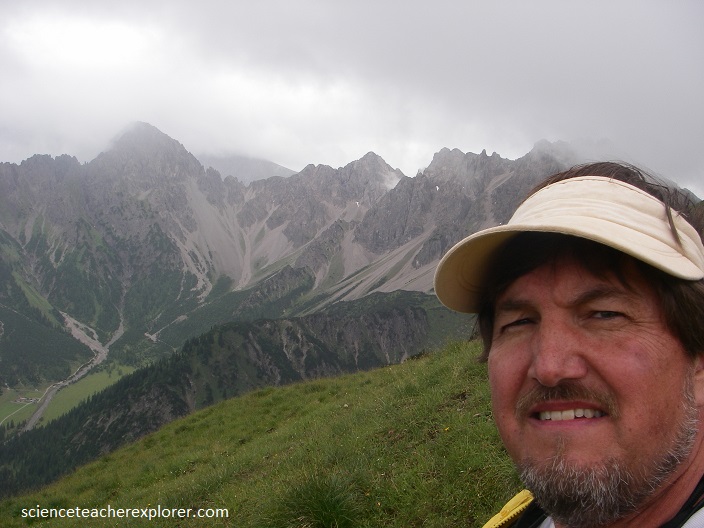
On July 26th, 2017, I trekked and explored the Karwendal Mountains north of Innsbruck, Austria.
The Karwendels are part of the north Tyrolean limestone chain.
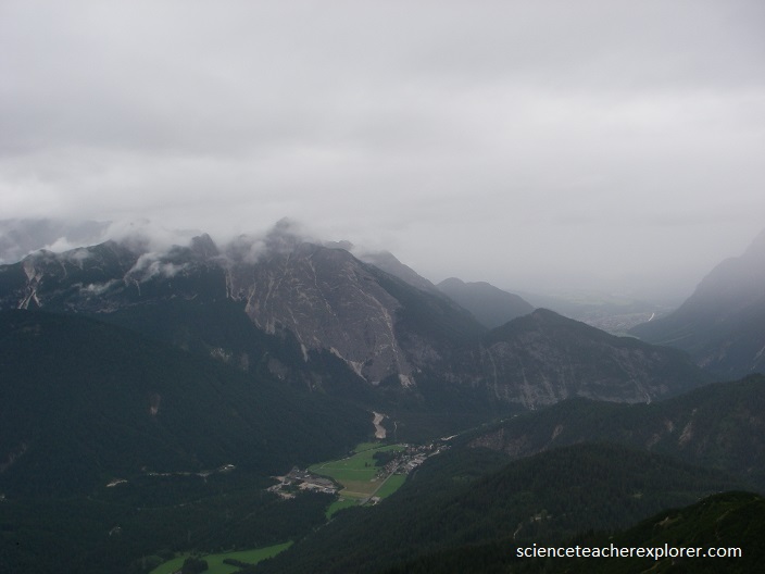
A cool moist climate and abundant rain, pastures, woods, and game characterize the Karwendels, (below). Thinly populated, much of the region is included in the Karwendel Nature Reserve, Austria’s largest.
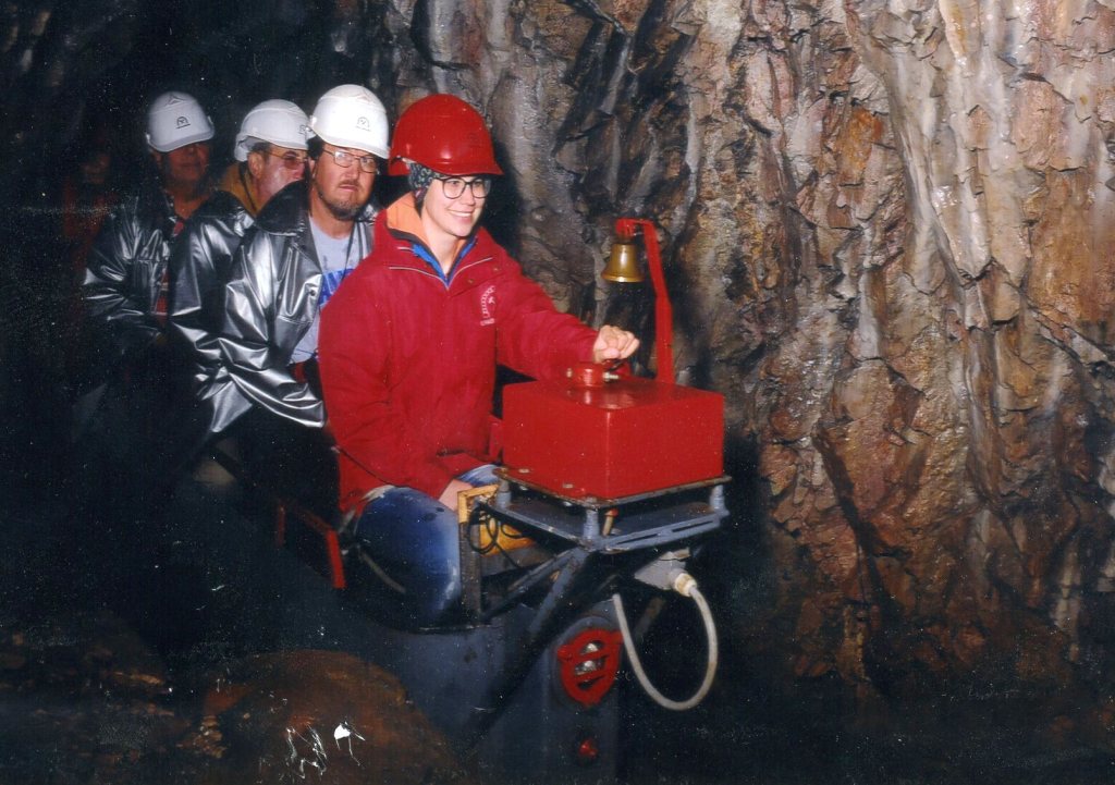
Part of the Karwendal Mountains and just east of Innsbruck is a small community of Schwaz, Austria. “The mother of all mines”, the largest silver mine of the late Middle Ages, is located in Schwaz of Tyrol. Up to 10,000 miners searched for and found silver and copper here 500 years ago and made the city of Schwaz the largest mining metropolis in the world! There I purchased a tour that took me into a 800 m deep entrance with the mine train, (pictured below). The tour followed in the footsteps of the miners and experienced the hardships they had to endured 500 years ago to mine copper and silver. One of the highlights of the tour, was the famous Schwaz water wheel, which was installed in 1556 to raise the mine water, (at the time it was considered a true marvel of technology). 85% of the silver mined worldwide came from this mine towering over the mountain.
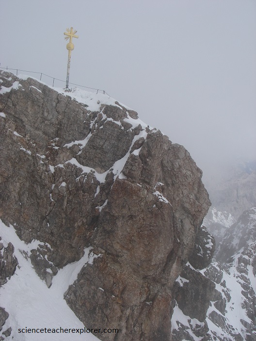
Just on the other side of the border with Germany is Zugspitze. The Zugspitze, 9,718 ft. above sea level, is the highest peak in Germany.
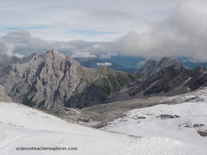
Zugspitze Peak lies north of the Austria-Germany border, that runs over its western summit.
South of the mountain is the Zugspitzplatt, a high karst plateau with numerous caves.
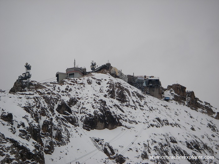
On the flanks of the Zugspitze are three glaciers, including the two largest in Germany.
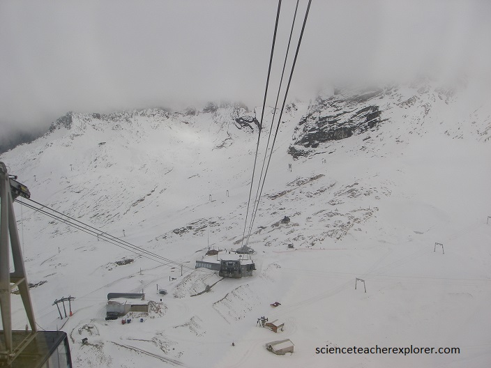
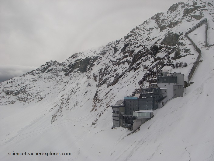
I approached the Zugspitze summit, on July 27th, 2017; by way of a train and two gondolas, (picture above).