Flaming Mtns., China
In July of 2008, I found myself trekking with a small group friends in Northern China. One of our stops was in Turfan, (Turpan). We entered the area on the famous “Oriental Express”. A green oasis in the middle of the desert, blown by winds from all directions – this was the way how Turfan city appeared before his eyes of weary travelers over a period of two thousand years. It was not only an important commercial and cultural center on the Great Silk Road, but also a strategic post on the ancient caravan route towards the northern branch of China.
The locals named Turfan as “Fire Land”, because it is the hottest city in China and one of the driest places in the world. In summer the temperature reaches 50°C in the shade. Our group decided to hire a “Black Car” and take us into the Gobi Desert to what they call “The Turfan Depression”.
The Turpan Basin is a fault-bounded trough located in the eastern part of the Tien Shan. It covers an area of 50,000 square kilometers. The surrounding mountain ranges are: the central Tien Shan in the west, the Bogda Shan in the north-west, the Haerlike Shan in the north-west, and the Jueluotage Shan in the south.
The Turfan Basin formed in a shear fault zone during the Late Permian due to motion between the East European and the Angaran Craton. It was subsequently deformed by the collision of the Indian and Eurasian plates in the Cenozoic. In the latter deformation, a thrust fault belt running from east to west, the “Flaming Mountains”, was formed in the center of the basin. The Flaming Mountains are 98 km long and 9 km wide; the highest peak reaches an elevation of 831.7 m above sea level.
The Turpan Basin has a harsh, continental desert climate in which the precipitation is far less than the potential evaporation. At Turpan Depression, July is the hottest month with a 24-hour average temperature of 32.2 °C (90.0 °F).
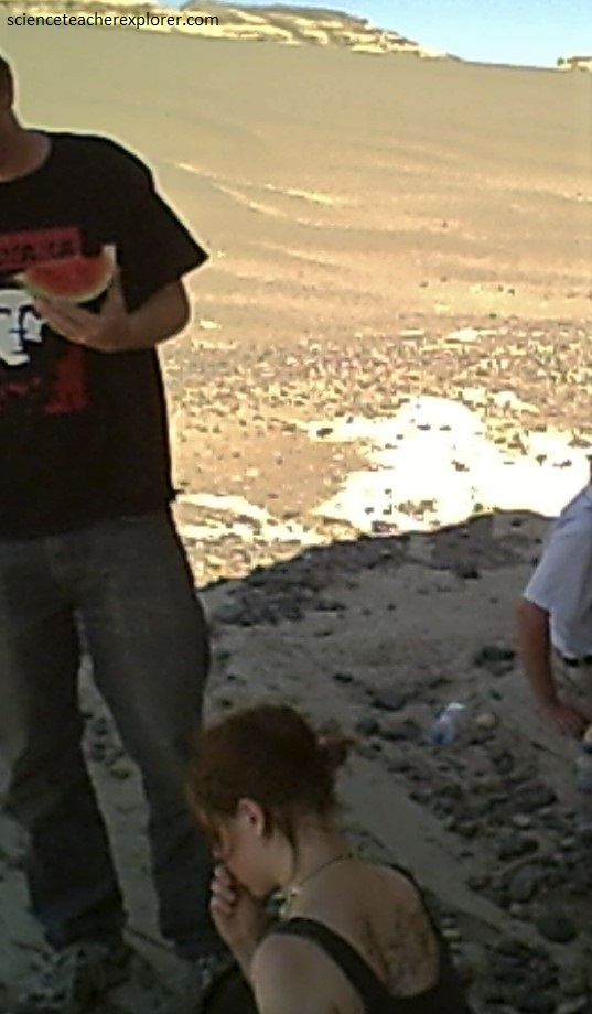
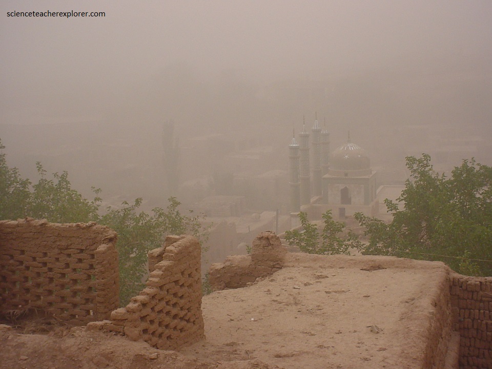
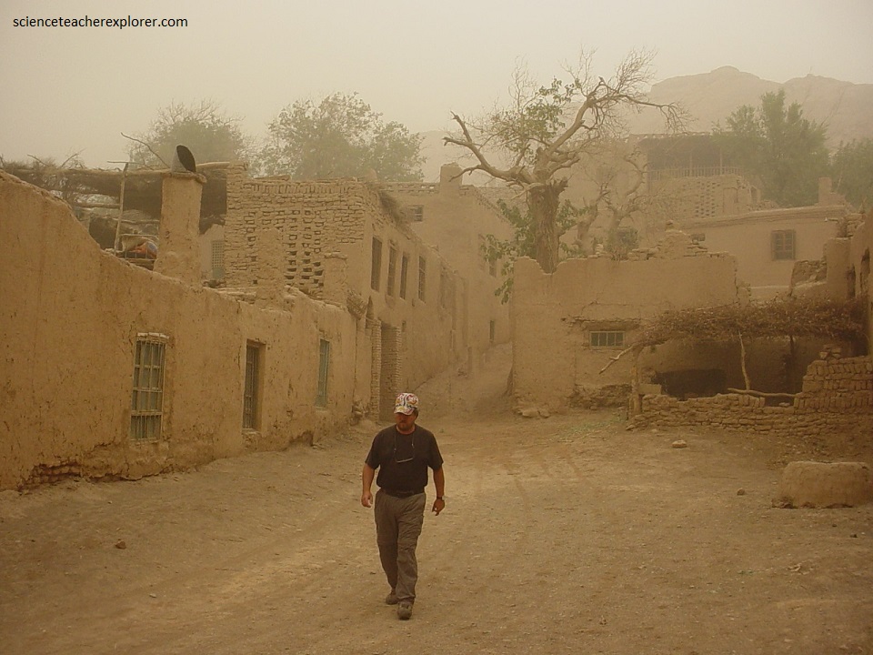
And while my group explored the Turfan Depression, we got stuck in the sand. Luckily, we took with us, a trunk full of “Water Melons”. After hours of work, we managed to get ourselves out of the deep sand and head back to Turfan City, (pictured below). It was like sitting and working in a giant furnace. Later, I found out that the unconfirmed soil surface temperature of 66.8 °C (152.2 °F) was estimated by satellite measurement on that day in 2008. This would of been a world record. AMAZING…..
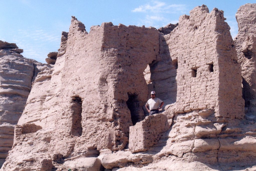
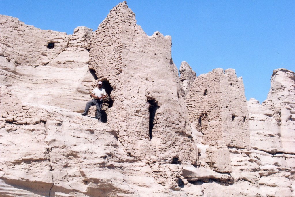
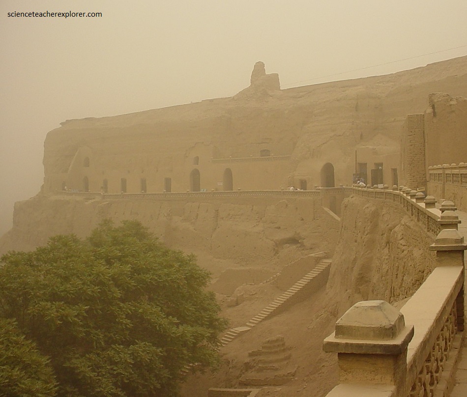
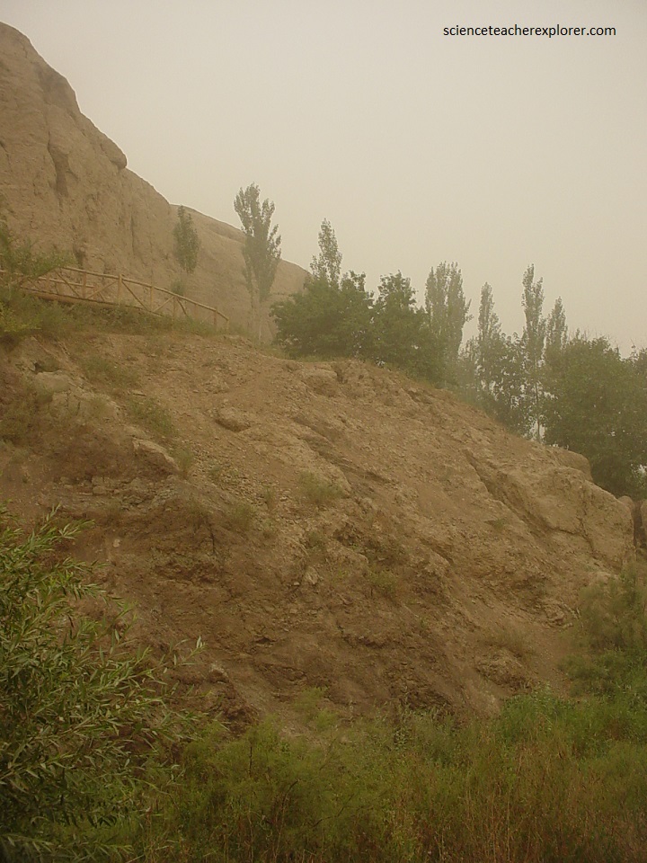
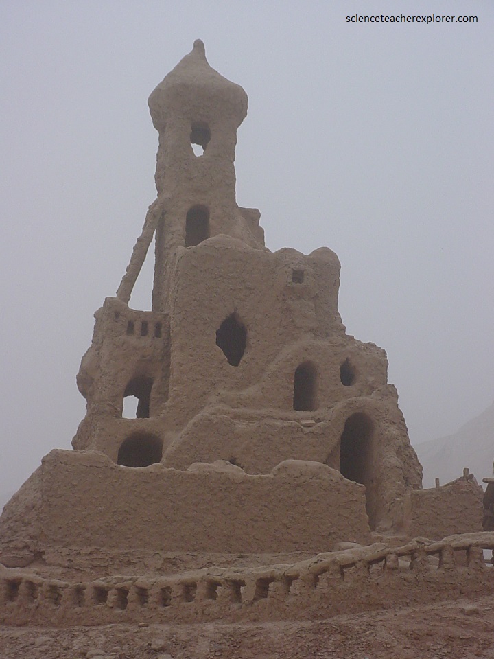
Later, the next day, we returned to the Flaming Mountains to visit the Bezeklik Caves. [It was a bit windy and make it difficult to see at great distances in the photos below.] The “Bezeklik Thousand Buddha Caves”, mark the beginnings of Buddhism in China. Though they have suffered great damage over the years, the name “Bezeklik”, which in the Uyghur language means “a place with paintings” or “a beautifully decorated place”, gives us some idea of their former glory.
The Buddhist grottos within the Bezeklik Thousand Buddha Caves were constructed from the Southern and Northern Dynasties Period (420-589) right through to the Yuan Dynasty (1271-1368), meaning the scope of art styles is incredibly diverse. Although it is essentially a religious place, many of the paintings depict images of aristocrats who made donations to support the site’s development.
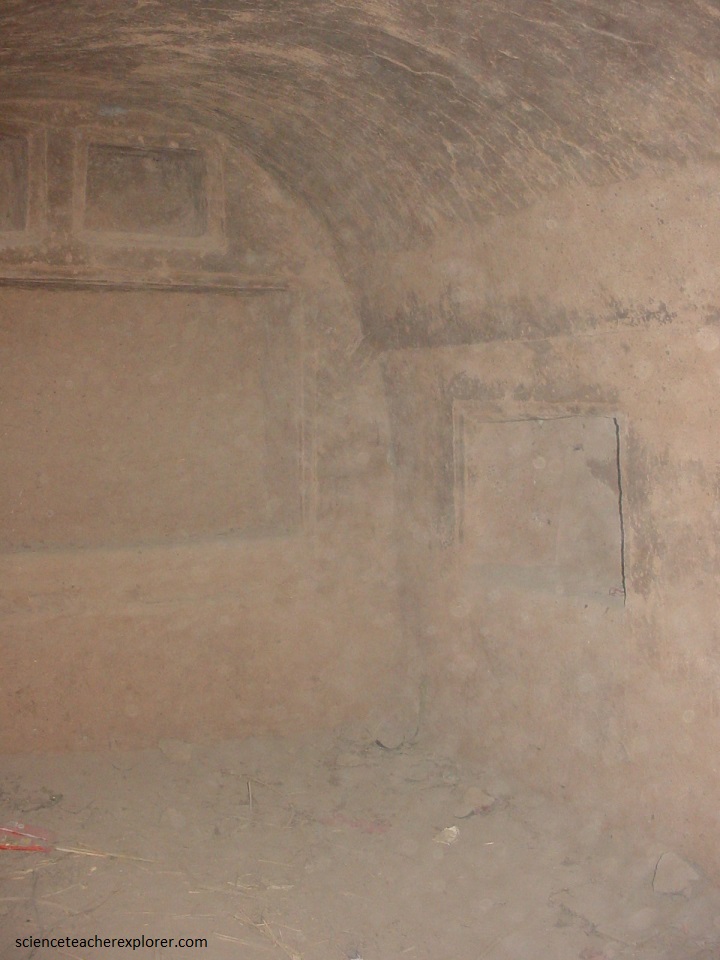
The Bezeklik Caves were located about 45 kilometres east of Turpan and approximately 15 kilometres north of the Gaochang Ruins. Taking pictures of the murals inside the caves were not allowed. But I snuck the one picture above, while nobody was looking.
What makes the Bezeklik Thousand Buddha Caves murals so unique is that they feature images of people from multiple ethnicities living, working, and socialising together. Chinese, Indians, Turks, Mongolians, Uyghurs, and even Europeans grace the walls of these magnificent caves, providing evidence that Gaochang was once one of the first multi-ethnic cities in the world. The inscriptions that accompany the paintings are written not only in Chinese, but also in the ancient Uyghur language and several other languages, which has given historians an invaluable insight into the interactions between these peoples.
Pictured above, near the Bezeklik Caves, is a primitive Uighur theme park area that has a lot more authentic Central Asian culture and a lot of important historical sites. It is called Tuyua or Tuyugou Valley.
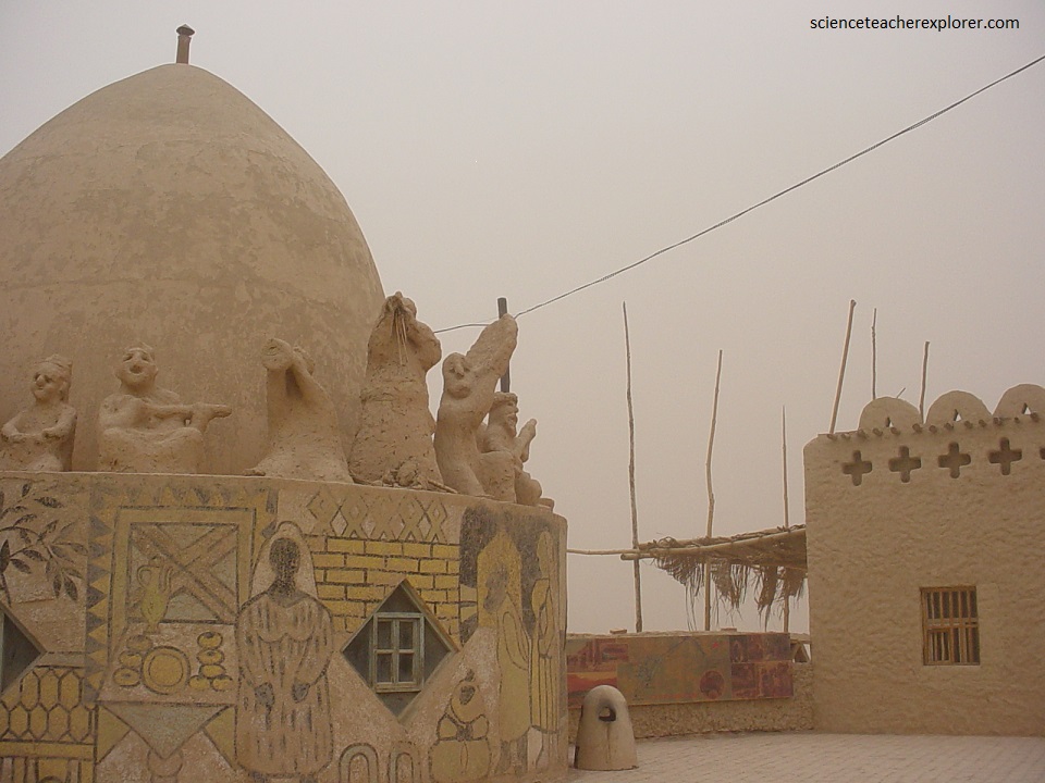
My trekking group went through the southern part of the valley where the Mazar Village is located. The Mazar Village is a small Uighur town. It seems to have been purposely made to look ancient and rundown.
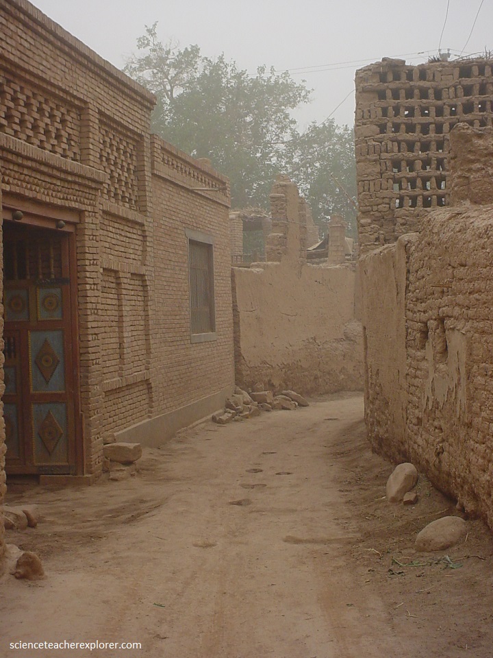
Though the Mazar Village is an actual place where people live, the people are used to being photographed by the tourists who visit it. Many of the Uighur people there, told us that they were forced to live in this ancient looking village.
For many local Muslims, the famous site in that southern valley is a cave in Mazar Village or “Mazacun” in Chinese. It is called the Al-Sahab Kahfi Mazar. They believe that a miracle that is described in the Koran happened in a cave there. The world “mazar” is an Arabic word that means “place to pray.” For many Uighurs, it is a holy shrine. Non-Muslims were not allowed in the cave.
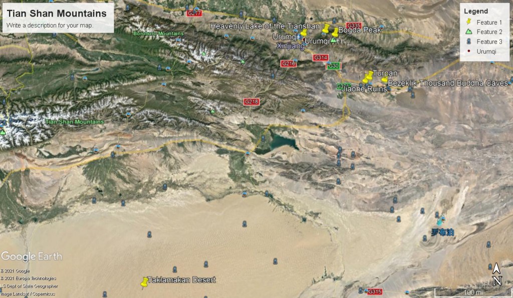
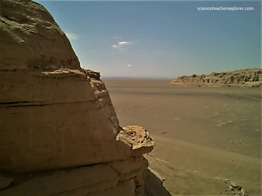
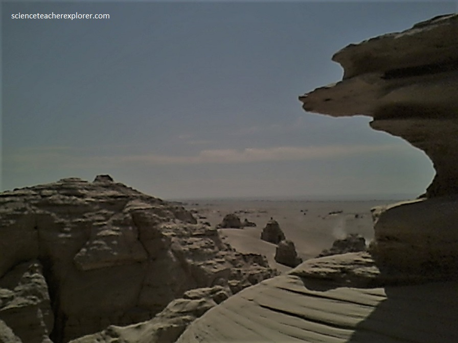
Just north of the Mazar Village, is the “Flamming Mountains”. Overarched by a scorching sun, the arid desert and seasonal grassland is punctuated by the flowing red sandstones of the Djadokhta Formation. the area is a dinosaur hunters’ paradise, and fragments of bone and dinosaur eggshells are often visible in the red rocks. In the 1920s, American paleontologist Roy Chapman Andrews unearthed complete dinosaur skeletons, as well as the first known set of fossilized dinosaur eggs.
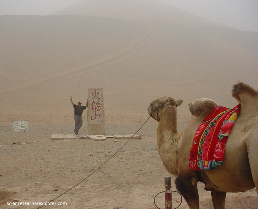
The Flaming Mountains are approximately 100 kilometers long and 5–10 km wide, crossing the Turfan Depression from east to west. The average height of the Flaming Mountains is 500 m, with some peaks reaching over 800 m. The Flaming Mountains received their fame from a fantasy account of a Buddhist Monk, accompanied by a “Monkey King” with magical powers. The monk runs into a wall of flames on his pilgrimage to India in the popular 16th century novel, “Journey to the West”, by the Ming Dynasty writer, Wu’ Cheng’en The novel is an embellished description of the monk Xuanzang who traveled to India in 627 CE to obtain “Buddhist Scriptures” and went through a pass in the Tien Shan after leaving the ancient city of Gaochang.
Another Myth: In a Uighur legend, a dragon lived in the Tianshan Mountains. Because the dragon ate little children, a Uighur hero slew the dragon and cut it into eight pieces. The dragon’s blood turned into a scarlet mountain of blood and the eight pieces became the eight valleys in the Flaming Mountains.
