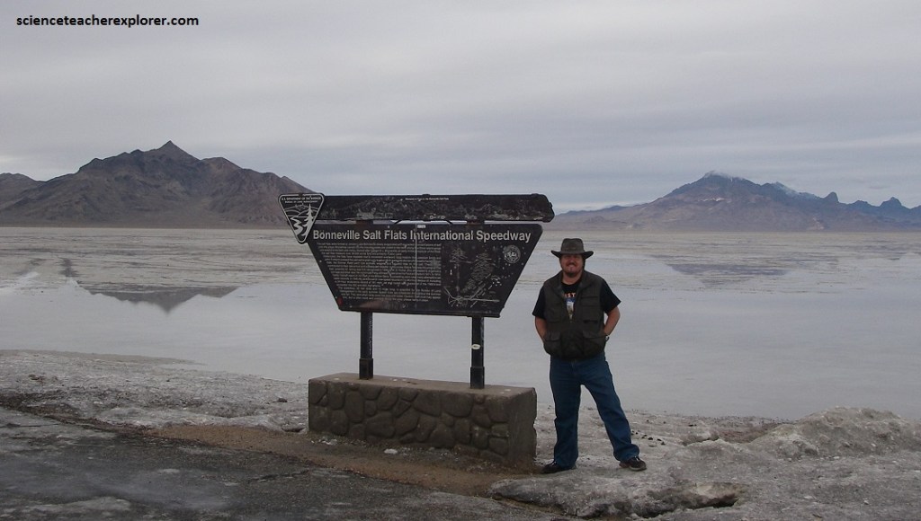
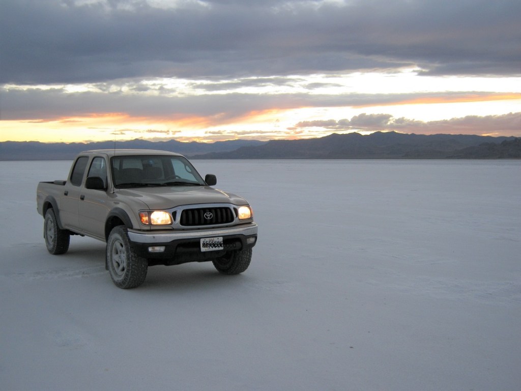
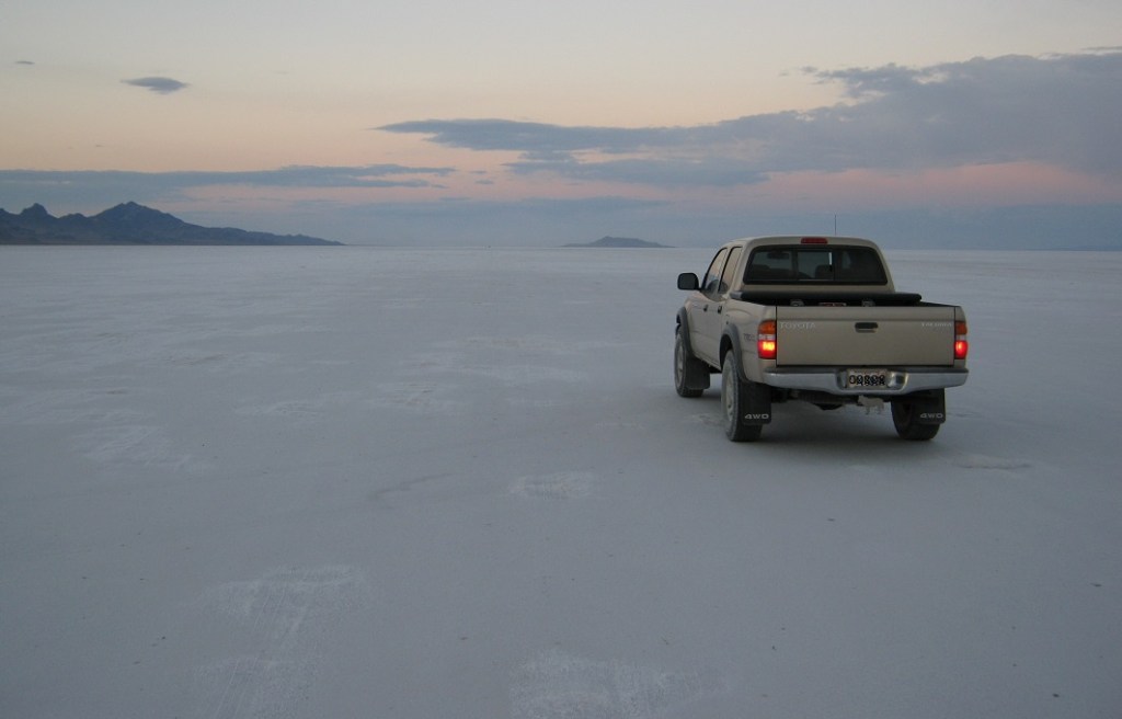
Bonneville Salt Flats, UT
In the summer of 2011, I had decided to investigate the route taken by the Donner-Reed Party in 1846, across the Bonneville Salt Flats between Salt Lake City and Wendover, Utah.
The Donner-Reed Party was a group of American Pioneers who migrated to California in a wagon train from the Midwest. Delayed by a series of mishaps on the Bonneville Salt Flats, they spent the winter of 1846–1847 snowbound in the Sierra Nevada mountain range. Some of the migrants resorted to cannibalism to survive, eating the bodies of those who had succumbed to starvation, sickness and extreme cold.
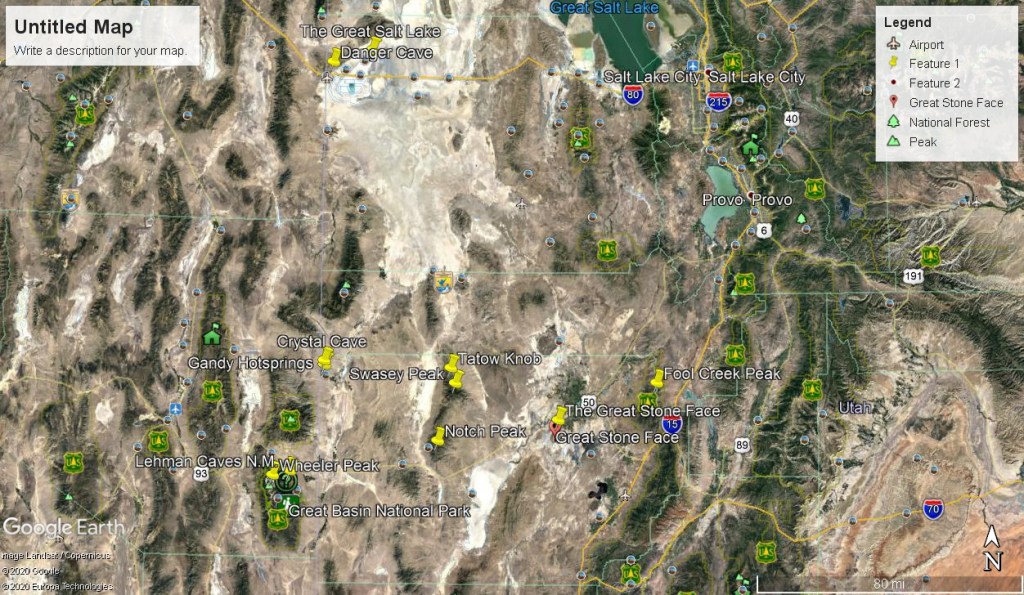
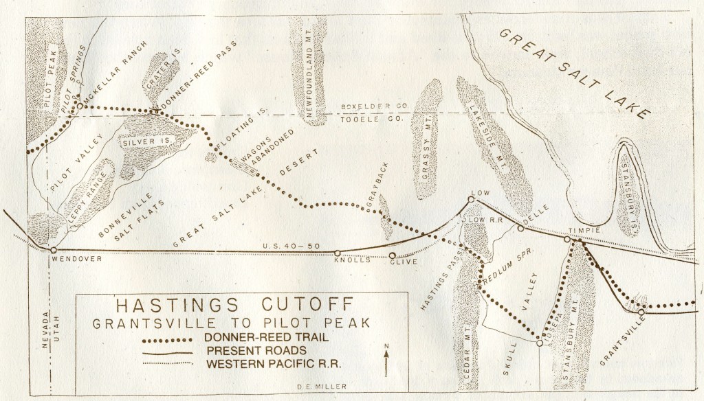
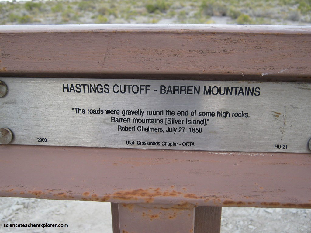
The journey west for the American Pioneers in 1846, usually took between 4 and 6 months, but the Donner Party was slowed after electing to follow a new route called the “Hastings Cutoff, which bypassed established trails and instead crossed the Wasatch Range and the Great Salt Lake Desert (Bonneville Salt Flats) in present-day Utah.
The Hastings Cutoff was an alternative route for westward emigrants to travel to California, as proposed by Lansford Hastings in “The Emigrant’s Guide to Oregon and California“.
The ill-fated Donner-Reed Party infamously took that route, but got mired down in the mud-flats of the Bonneville Salt Flats.
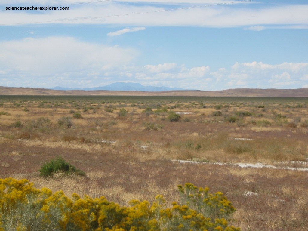
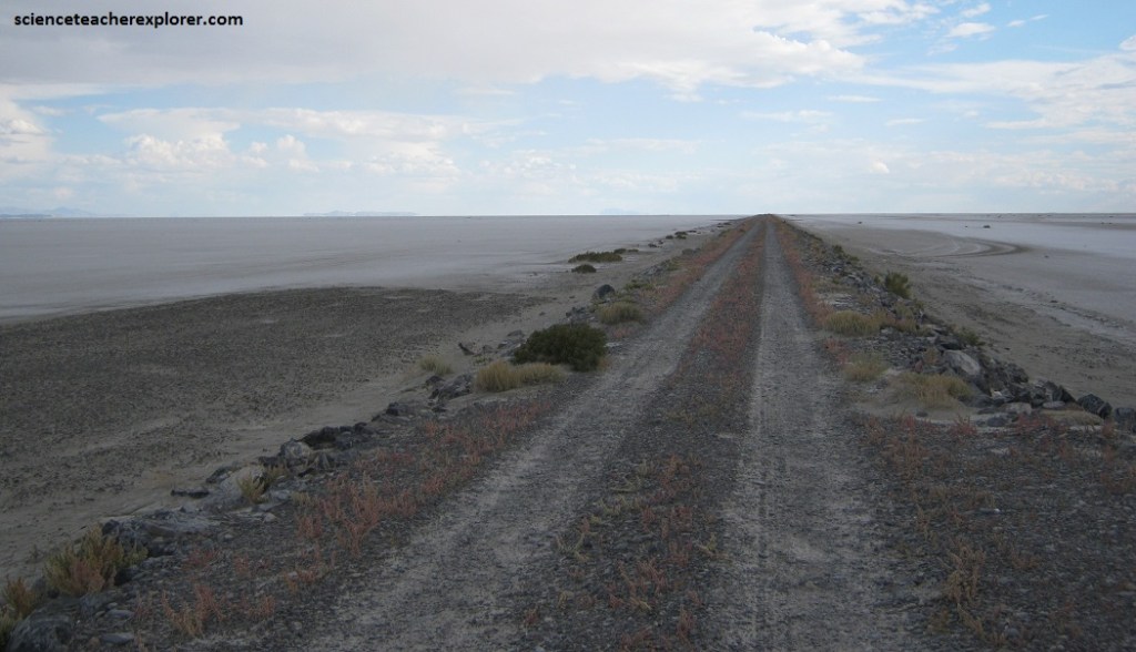
The terrain over the Salt Lake Area of the Hastings Cutoff is mostly level with only the pass through the Cedar Mountains and topping the Gray-back Hills presenting difficult grades for the draft animals. But the 60 mile stretch across the wastes of the Great Salt Lake Desert (Bonneville Salt Flats) through sand dunes and mud flats was another matter.
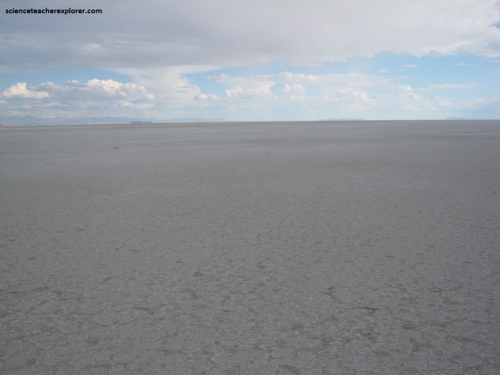
The mud flats, playas from the old bottoms of the Great Salt Lake and ancient Lake Bonneville, both in the trails era as today, can be firm and easy pulling in one place, soft and extremely taxing in another and here and there, impossible quagmires.
The flats look deceptively solid, but water is often only a few inches below the surface. Should a vehicle, whether a wagon drawn by oxen or a modern four-wheel-drive vehicle, break through the thin dry crust in these wet areas, the deeper its wheels go the softer the muck and in moments the conveyance can be settled to its hubs in the sticky mire.
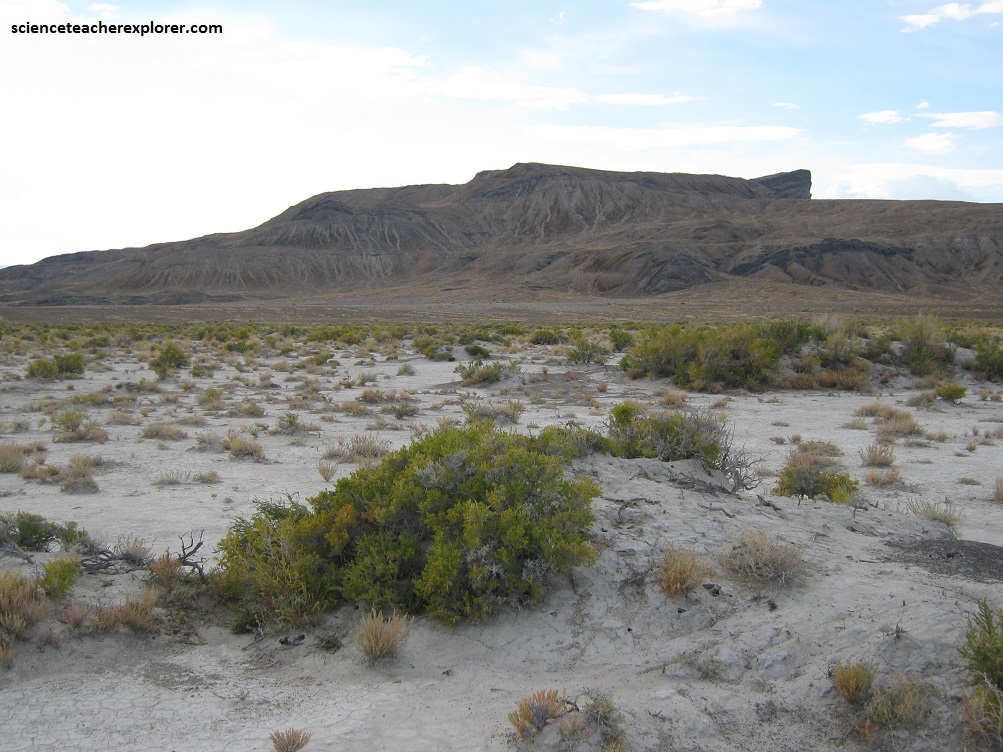
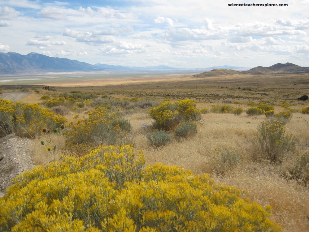
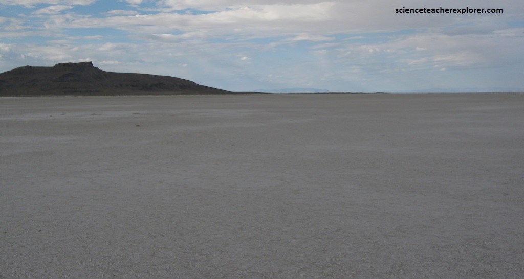
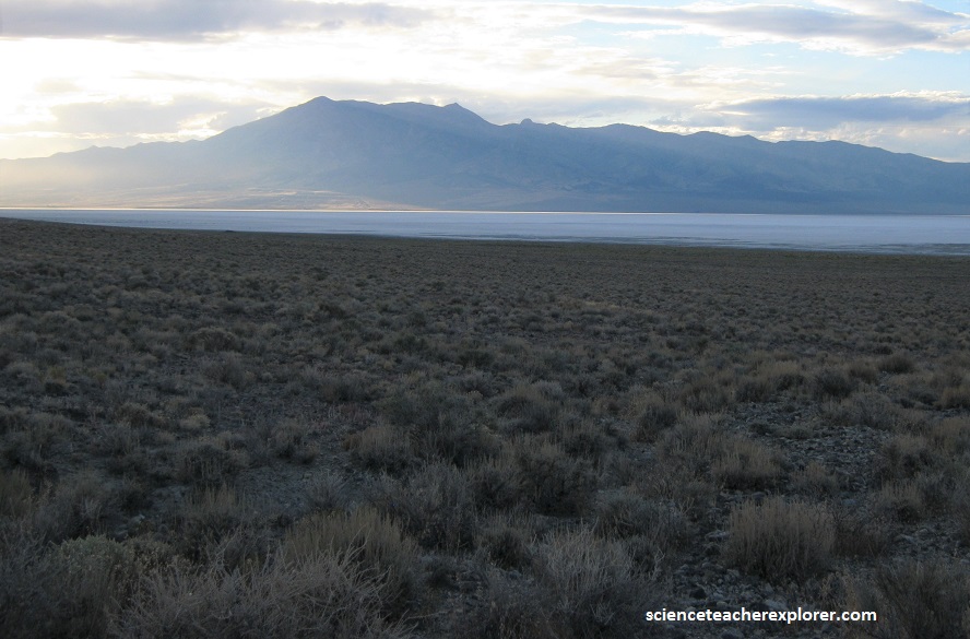
Pictured above, the isolated butte is the “Floating Island”. It was given this name because the Island seems to float in a mirage of water when you are driving along I-80 twelve miles south. The top portion of the Island stuck out of the surface of Prehistoric Lake Bonneville and the mud flats was the bottom of the lake. The mud flats were drilled many years ago, south west of here, to a depth of 2600m.
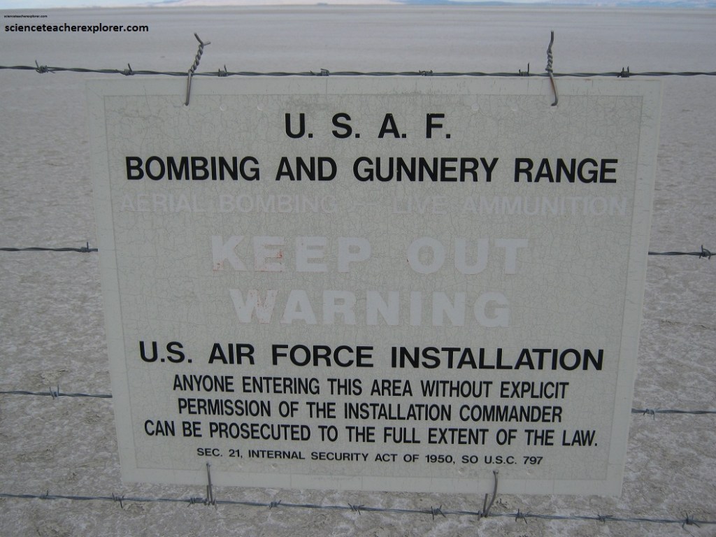
The Donner-Reed wagons stuck in this unique mud could not be salvaged and had to be abandoned where they lay in 1846. The problems of no water, no feed and treacherous terrain impoverished many who made the passage and were forced to leave wagons and property on the desert. Some lost animals to exhaustion, thirst and sometimes to the difficulties of driving loose cattle through the night on a forced march to distant water. To this day, no one may safely venture here without adequate equipment and preparation and few people do.
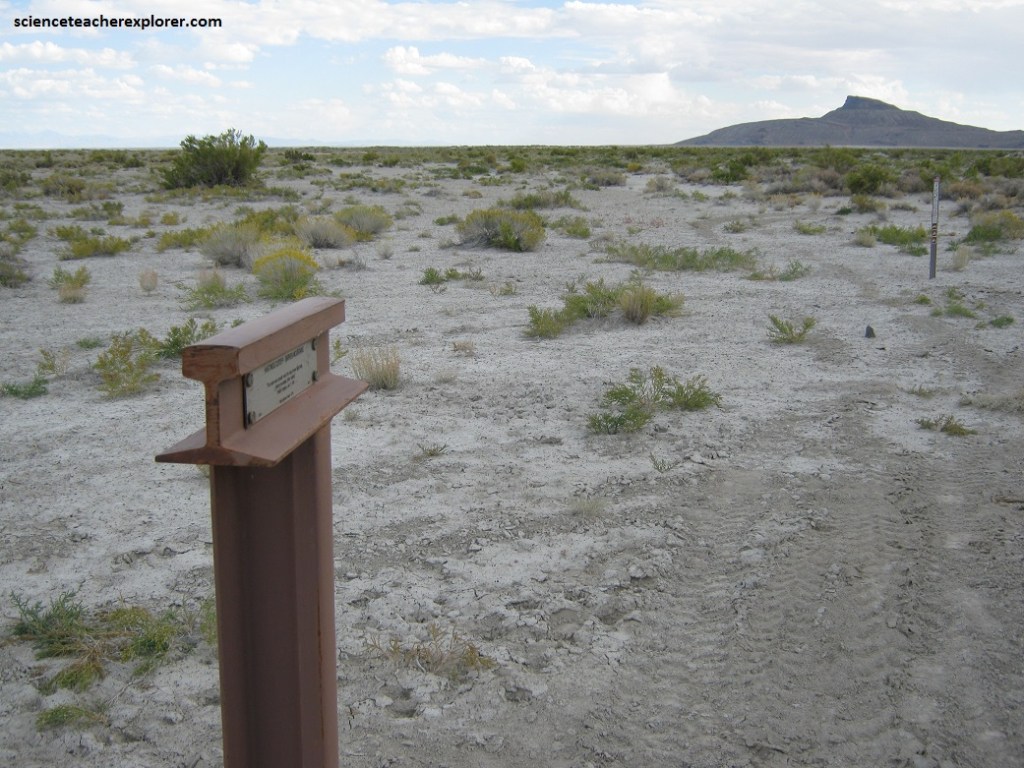
Of the many tribulations experienced by the Donner-Reed Party, their losses here on the mudflats were especially devastating and greatly contributing to their peril on the journey ahead in the Sierra Mountains.
Nearby is the Silver Island Range. The Silver Island Range is a rough triangular area which extends 51 km to Wendover (on the Utah-Nevada border) from the Hastings Cutoff Trail.
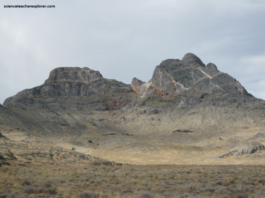
Pictured above, the bedrock in the Silver Island Range includes faulted and folded fossil-bearing limestones of the Cambrian age. The slopes of the range have been terraced by shoreline erosion and deposition from Lake Bonneville.
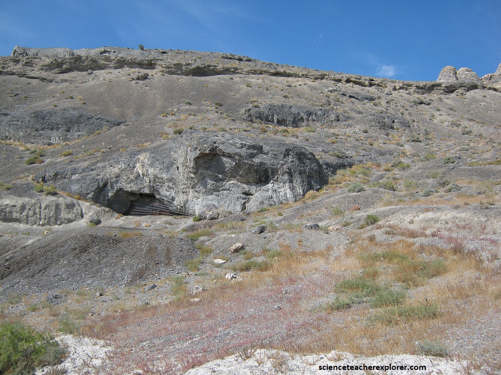
Several caves in the Silver Island Range served as habitation for Native Americans. Pictured above, “Danger Cave” is a North American archaeological site located in the Silver Island Range and near Wendover. It features artifacts of the Desert Culture from 9000 BC until 500 AD.
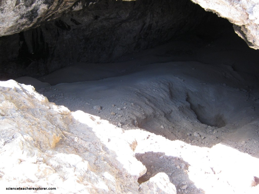
The extremely dry conditions of Danger Cave had created an ideal storage condition that preserved a variety of artifacts from beetle wings to textiles and human paleo-feces. Also found were leather scraps, pieces of string, nets of twine, coarse fabric, basket fragments, and bone and wood tools such as knives, weapons, and millstones.

In total, excavations have produced over 2,500 chipped-stone artifacts and over 1,000 grinding stones.
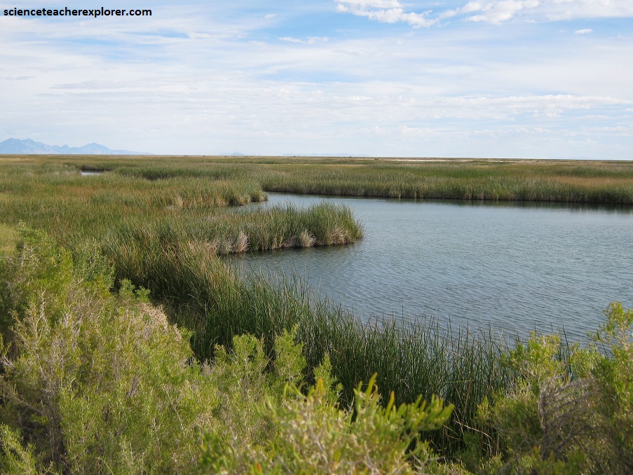
Pictured above, nearby “Blue Lake” is a large geothermal pond located about 26 km south of Wendover, Utah within the Bonneville Salt Flat area. The lake is 18 m deep, approximately 9 acres (3.6 ha) in size and at an elevation of 1,300 m above sea level.
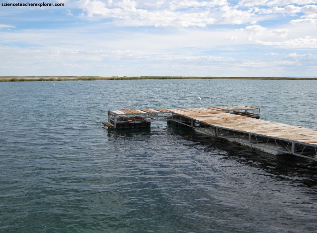
Blue Lake is a popular spot for area scuba divers. Since its water is warm year-round and reasonably clear, the lake is heavily used on the weekends for dive training. Blue Lake’s constant high-volume flow of clear spring-water provides underwater visibility of up to 18 m at (rare) times, and year-round bottom temperatures of approximately 85 °F (29 °C).
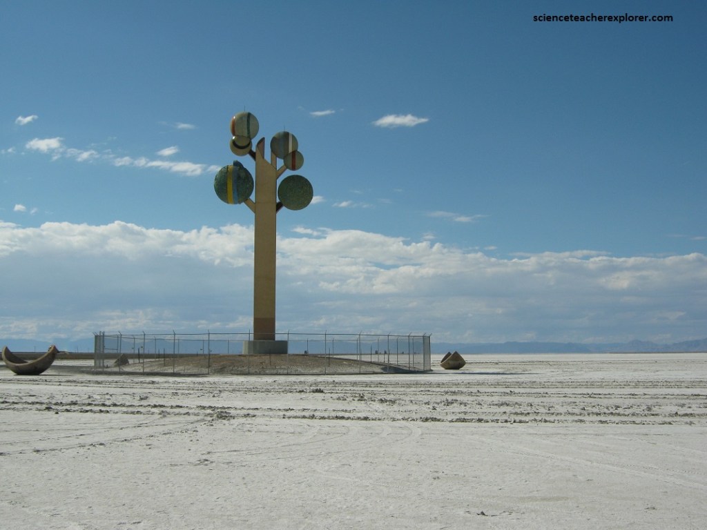
Pictured above, the “Tree of Utah” stands of the edge of I-80 on the barren Bonneville Salt Flats west of Salt Lake City and near Wendover, Utah.
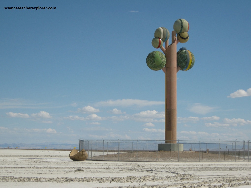
Pictured above, Swedish artist Karl Momen created the 30 m high tree between 1982-1986. He financed the project himself to bring bold color and beauty to the stark, flat, salty landscape. The sculpture is made of 225 tons of cement, almost 2,000 ceramic tiles and five tons of welding rod, and tons of minerals and rocks native to Utah.
Lake Bonneville was the largest Late Pleistocene paleo-lake in the Great Basin of western North America.
Lake Bonneville was a pluvial lake that formed in response to an increase in precipitation and a decrease in evaporation as a result of cooler temperatures during the Pleistocene Epoch.
Lake Bonneville covered much of what is now western Utah and at its highest level extended into present-day Idaho and Nevada. At its maximum, when Lake Bonneville was more than 300 m deep and almost 51,000 km2 in surface area.
