Santaquin Pk., UT 2015
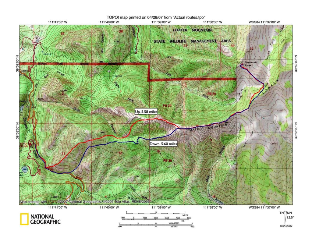
Santaquin Peak is a peak above, Santaquin, Utah and are in between the famous Mt. Nebo (tallest peak in the Wasatch) and Spanish Fork Peak. From Salt Lake City it is south, on I-15. At exit 250 head east towards Payson, UT. At the first stop-light (100 N), turn left. Then, at the next stop sign turn right onto the Nebo Scenic Loop Road. Drive 10.7 miles to the Loafer Mountain Trailhead on your left. Hike up to Loafer Mountain and then continue to Santaquin Peak.
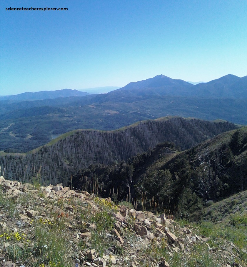
Santaquin Peak is slightly higher than the highest summit of Loafer Mountain, (located just the southeast), but because it is north of Loafer, it is the prominent and visible peak viewed most of Utah County, Utah.
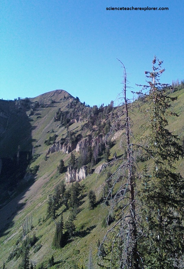
Loafer mountain is mostly made of limestone, but with beds of shale, quartzite, and dolomite.
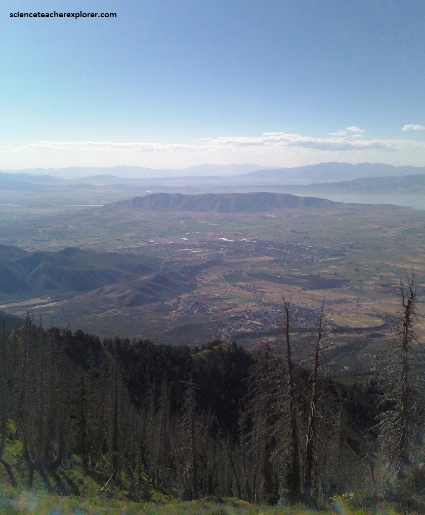
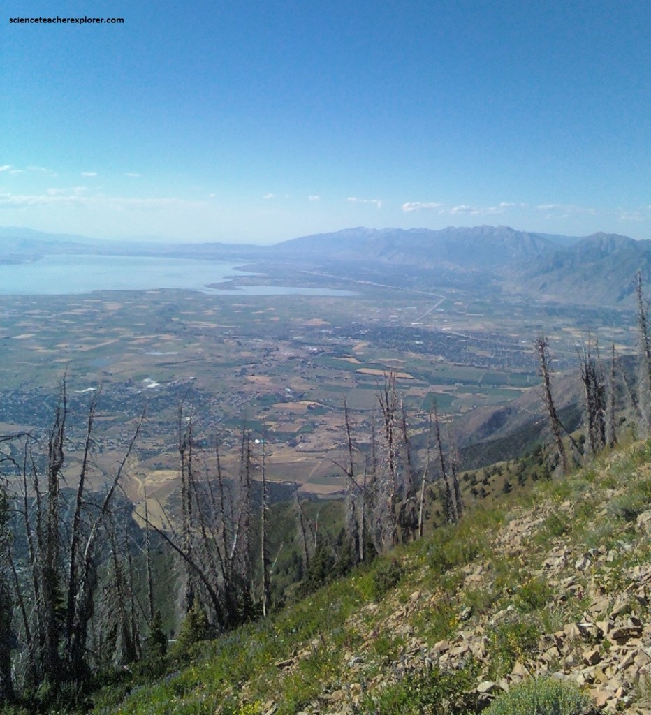
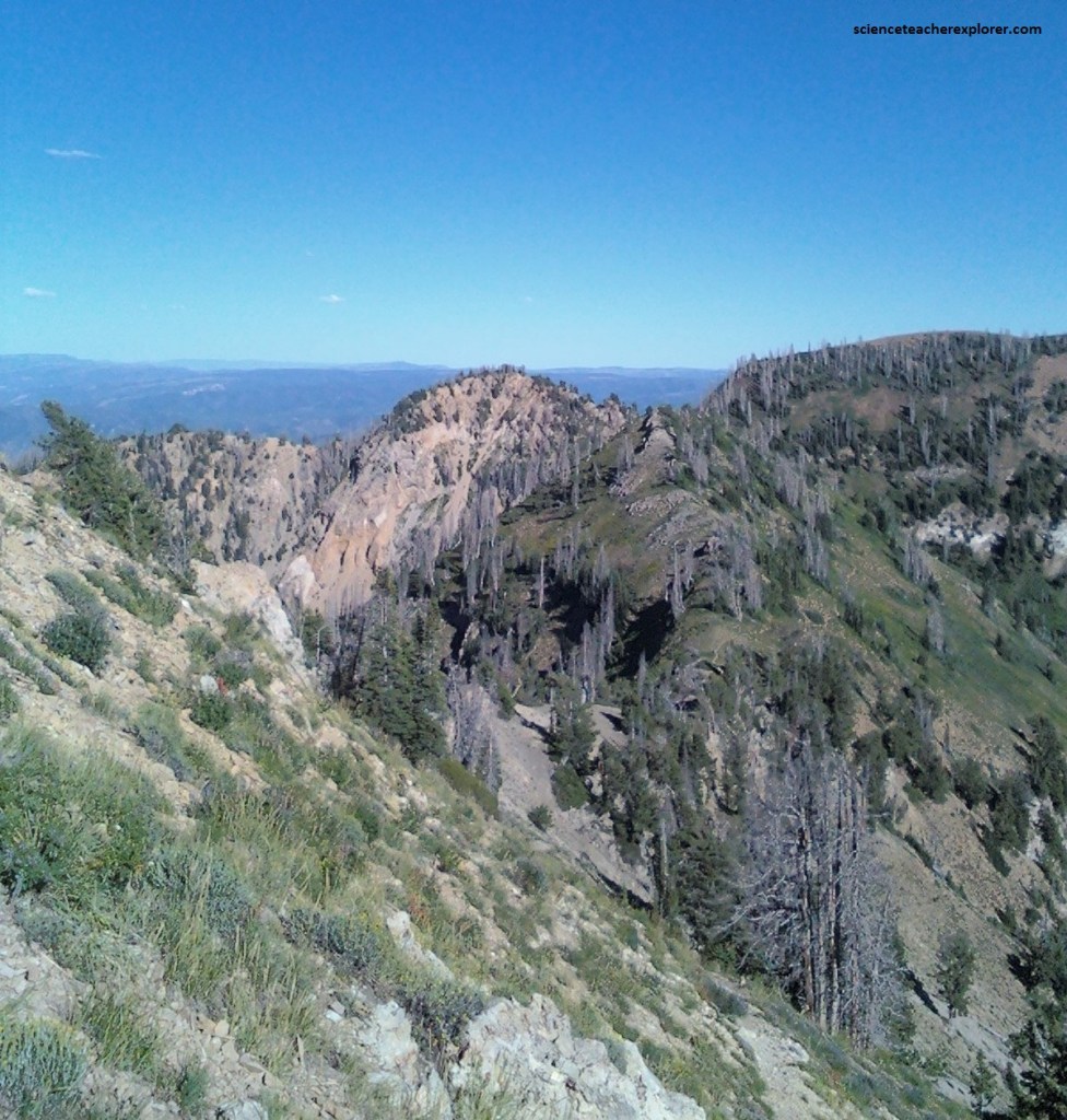
The trail and route up Santaquin is rather scenic and especially beautiful. The views of Payson Lakes, Mount Nebo, Mount Timpanogos, and the cities in the Utah Valley are really nice from the summit.
Santaquin Peak offered better views compared to Loafer Mountain, as you have 360 degree views of Utah lake, Timpanogos and Provo Peak to the North.
Santaquin Peak is a much more angular, aesthetically pleasing peak than Loafer Mountain and is usually climbed more often because of this, even though Loafer Mountain is slightly higher.