Lost Sea, Tennessee
On October 21st, 2016; Becky (my wife) and I explored “The Lost Sea” in Tennessee.
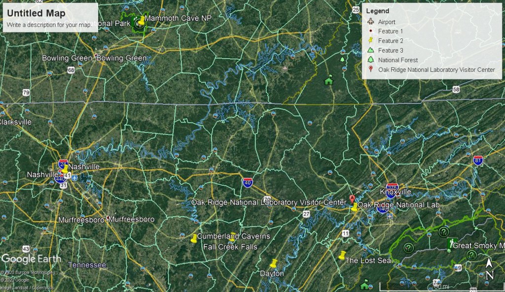
The Lost Sea is the largest underground lake in the United States. It lies deep with a cave system called Craighead Caverns, in the mountains of east Tennessee.
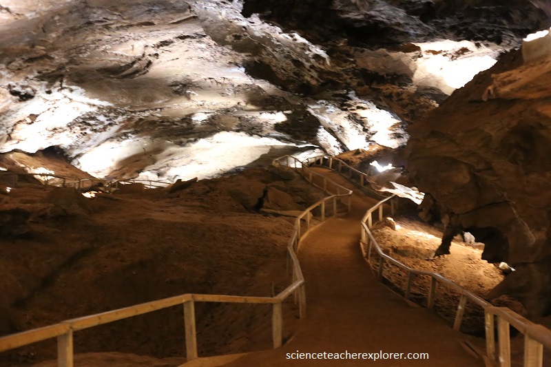
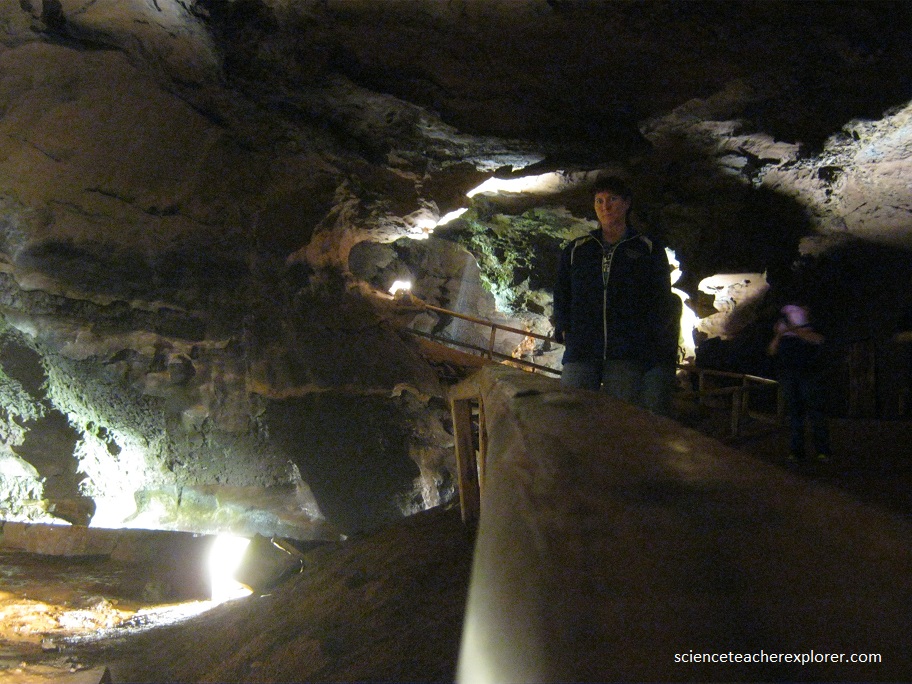
I was always interested in exploring these caves since I was a little boy. I was always a huge fan of “Ripley’s Believe It or Not” and this location was one of his sites that he included in his collection. I probably came across it in the 1960s. Below is a picture of Becky on the cave pathway to the Lost Sea.
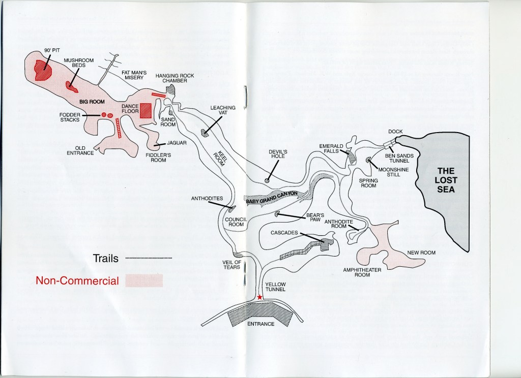
Geologic development of Craighead Caverns is largely phreatic (below the water table). Evidences of standing water levels that have through the centuries sought lower levels, are apparent from the Council Chamber and Cascade areas right through the Keel Room, Grand Canyon, Spring Room and Lost Sea (the present level of the water table). This appears to follow the natural dip of the limestone strata.
Since the Lost Sea is the water table for this area, it fluctuates with the rain fall. On several occasions drought has affected the water level of the lake. In the late 1980s the level of the lake dropped about 20 ft. and between 2006-2007 the lake level dropped 25 ft.
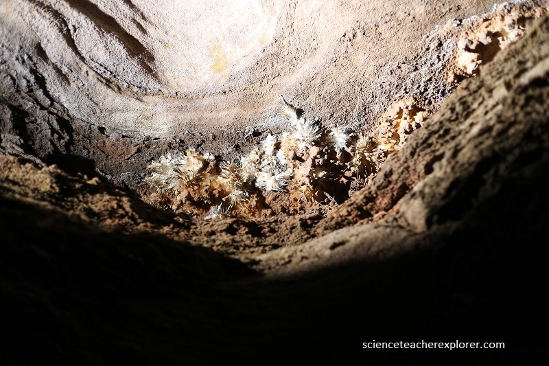
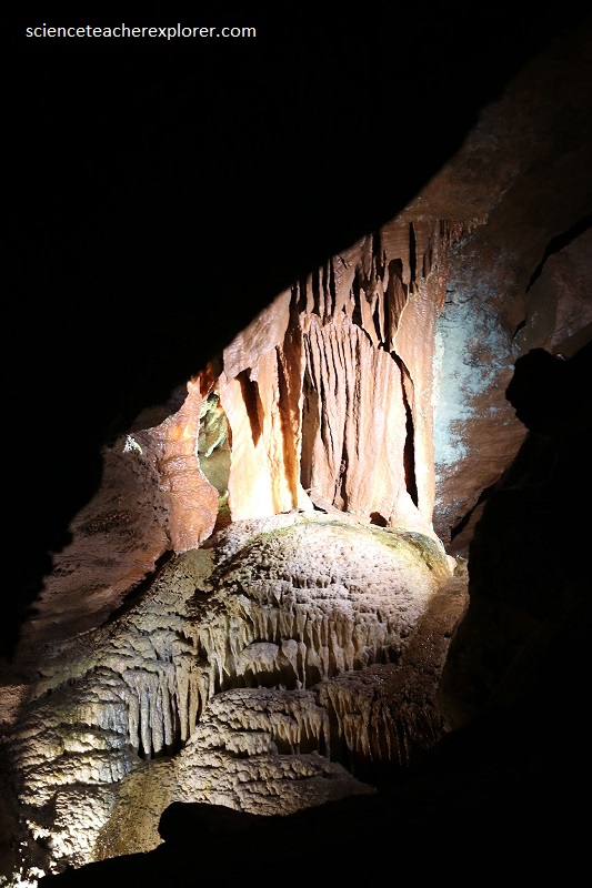
Lost Sea Caverns is excavated in the Holston formation, and exhibits numerous stalactite and stalagmite formations as well as the quite rare “anthodte” deposits —which occur profusely (pictured above).
Anthodites form in relatively dry, not dripping conditions. They result from local feeding of solutions through pores in the rock, under capillary pressure. Craighead Caverns may represent 50% of the world’s known anthodites. The abundance of this rare formation gave the Lost Sea the designation of Registered National Natural Landmark.
According to Ripley’s Believe or Not; ‘The Lost Sea” itself was discovered in 1905 by Ben Sands (a cave guide and a thirteen year old boy), wiggled through a small muddy opening 300 feet underground and found himself in a room that contained a huge lake. He threw mudballs far into the darkness to try to determine its size, but only heard splashes in response. It has since been determined that the visible part of the Lost Sea is 4.5 acres, but even modern technology has not assessed the vast reaches of the unseen body of water. Recent scuba diving explorations has disclosed continuation of Lake Room for more than 800 ft. beyond it’s end—entirely underwater.
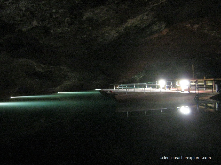
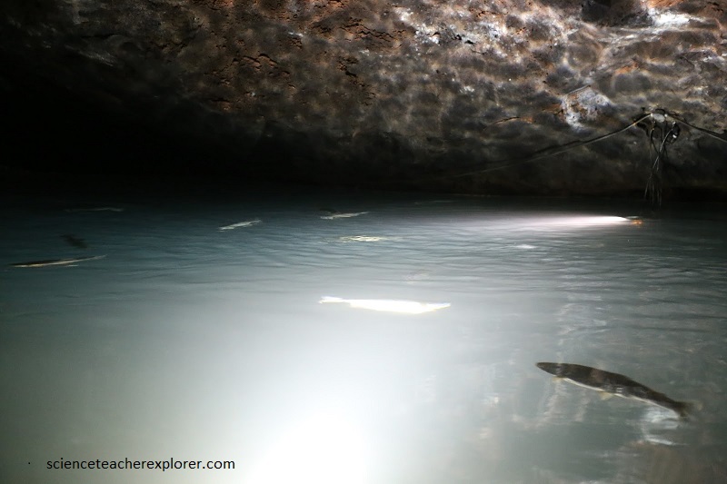
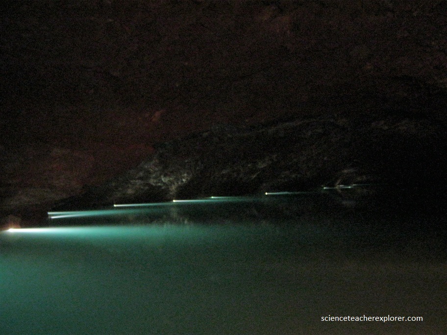
At the bottom of the cave and the pathway , we boarded a glass-bottomed boat and explored the lake itself. Apparently, in past somebody planted some trout in the underground lake. They were pretty big trout, (pictured below).
The Lake is approximately 800 ft. long, 220 ft. wide, and as much as 60 ft. deep. The highest ceiling point is approximately 35 ft.
The Craighead Caverns was named after and Native American Chief—who at one time owned the property and the cave, and who may well have discovered the tiny opening that was it’s natural entrance. Chief Craighead acquired the land through either the Ocoee or Hiwassee Land Grants.
The lake is approximately 140 feet underground and 1000 feet from the tunnel entrance; so the walk back up was a hike, but the temperature was a comfortable 58 degrees Fahrenheit. Our adventure lasted about two hours.
