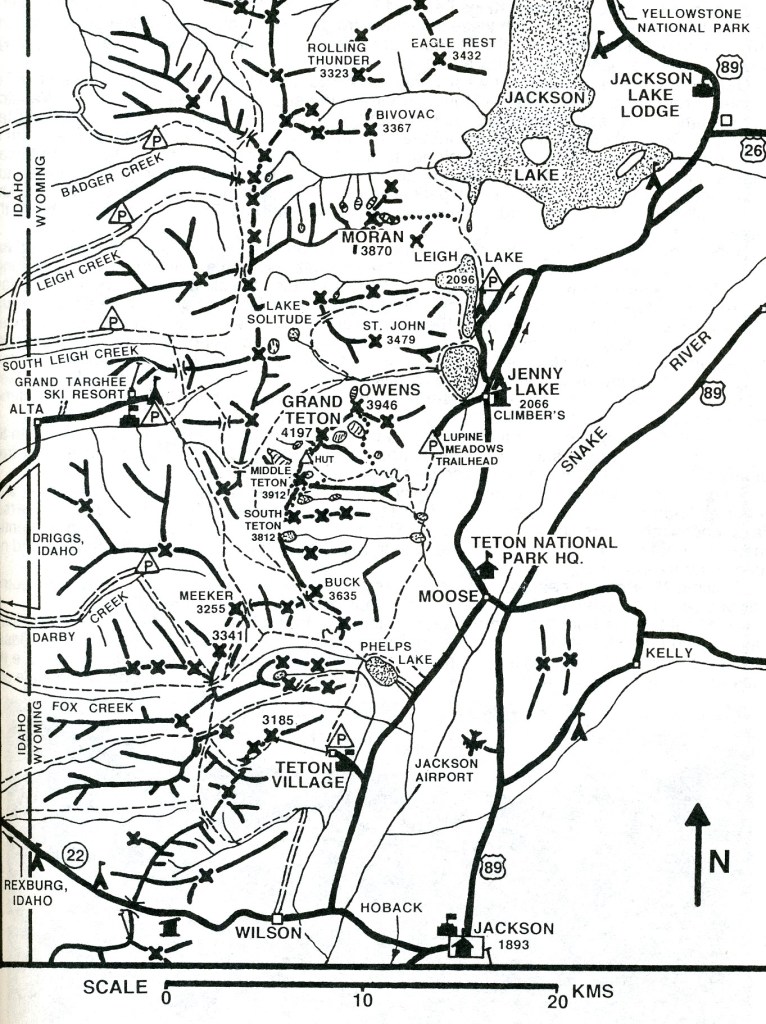
Grand Teton N.P., WYO
While visiting and exploring Yellowstone National Park in 2010, it was an easy trek through the South-Gate of Yellowstone to visit the Grand Teton National Park.
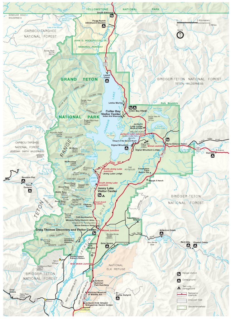
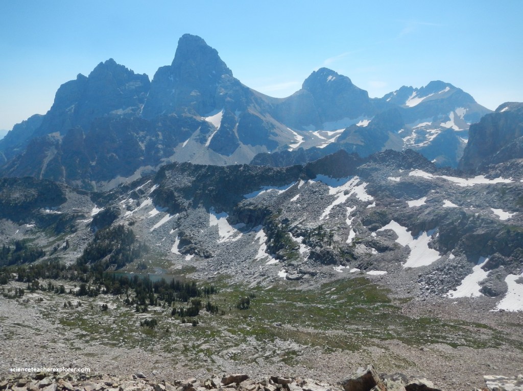
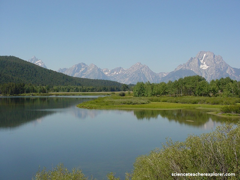
The Grand Teton National Park protects some of the most stunning mountain scenery in the U.S.A.
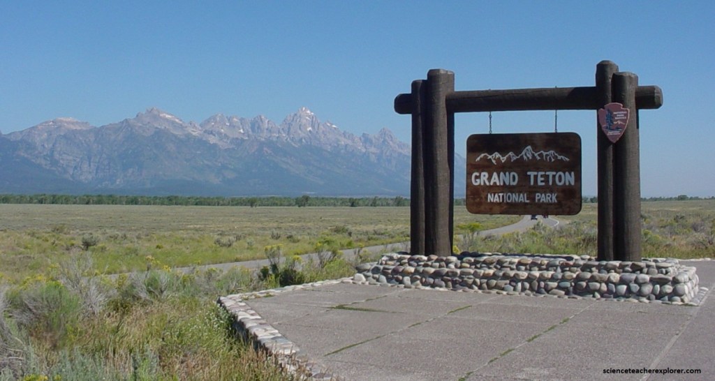
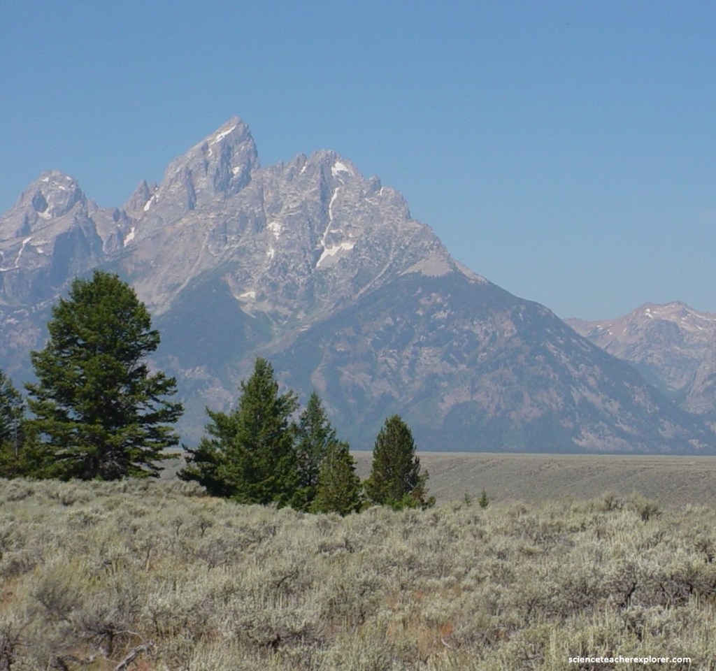
The Teton Range, the highest mountains in Wyoming, rise abruptly from the Jackson Hole valley floor, their jagged peaks reflected in the valley’s lakes.
The Tetons are one of the youngest mountain ranges in North America. They have been uplifting for less than 10 million years, making them young, compared to the “middle-aged” Rockies (50-60 million years old). Erosion has had muck less time to work on the Tetons, comparatively, so their jagged peaks remain standing high.
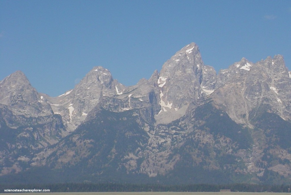
A 2.7 billion-year old metamorphic rock called gneiss makes up much of the Teton Range. These rocks were formed when sea floor sediments and volcanic debris were buried up to 28 km deep as two tectonic plates collided. The intense heat and pressure at these great depths changed or metamorphosed the sediments into today’ rocks, separating different minerals into lighter and darker layers.
Meanwhile, molten magma began squeezing into cracks in the gneiss 2.5 billion years ago, and it cooled and crystallized to form igneous granite. This granite with it’s interlocking crystals was harder than gneiss forming the highest peaks in the central Teton Range, (Grand Teton, Middle Teton, and Mount Owen. Other peaks, such as Teewinot and Mount Moran, show stripes of darker and lighter gray where the granite cross-cuts the gneiss.
Roughly 775 million years ago, the region stretched north to south, cracking the deeply buried gneiss and granite and forming a series of vertical, east-west trending cracks.
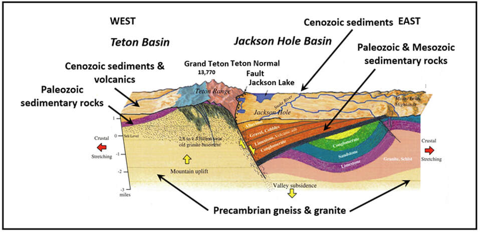
As the Teton region stretches in an east-west direction, this stress builds to a breaking point and generates an earthquake, lifting the mountain block skyward while dropping the valley floor.