Cabo San Lucas, MX
In 1997, my wife (Becky) and I went on a week-long vacation to Cabo San Lucas, Mexico at the southern tip of Baja California. We arrived by airplane.
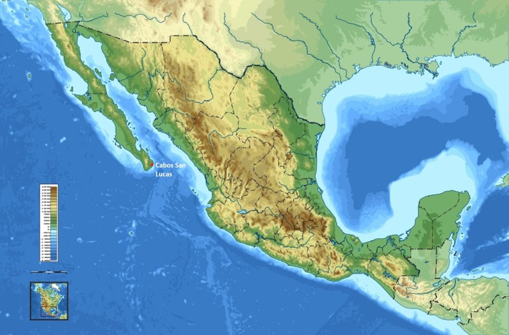
The Capes’ (or simply ‘Cabo’) defines the region at the southernmost tip of the Baja California, which refers to ‘lower’ California. In the vernacular, Cabo also refers to Cabo San Lucas. The Baja is a peninsula that dangles some 1,247 km to the south from the American state, making it the second longest one in the world.
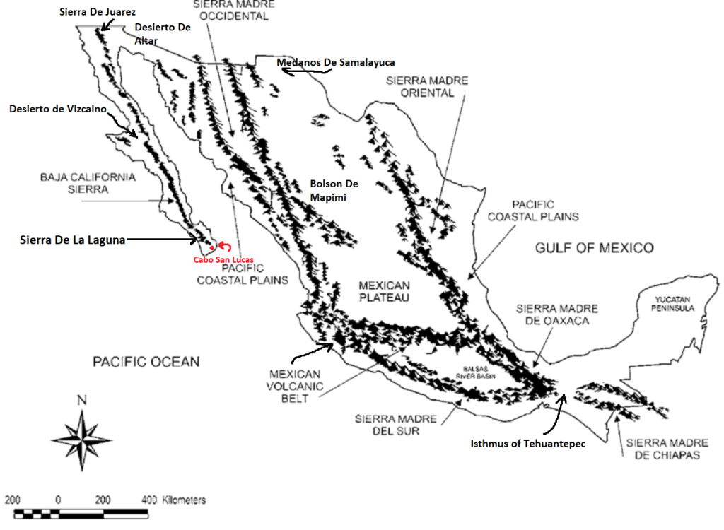
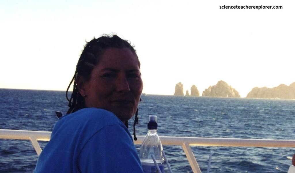
The Pacific Ocean lies to the west, and to the east, the Gulf of California separates it from mainland Mexico and the Sierra Madre Occidental range, (imaged above). The two bodies of water meet at Land’s End just south of Cabo San Lucas, (imaged below). The Gulf is also known as the Sea of Cortez.
Cabo San Lucas came as a culture shock to Becky and I. It’s sprawling hotels, streets filled with zooming cars and people, bustling bars, restaurants, a string of malls and other trappings of civilization are more reminiscent of a beach town in Florida than Mexico. But Cabo is no Cancun. Despite persistent development, it still preserved some small town character.
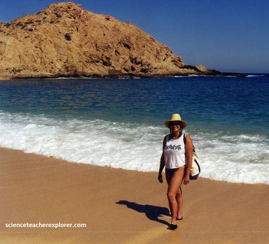
[Of course, I was interested in getting a look at the geology that included the world famous El Archo. Where, Becky was interested in sitting on the beach and relaxing. We booked a resort/hotel room on the Medano Beach Front].
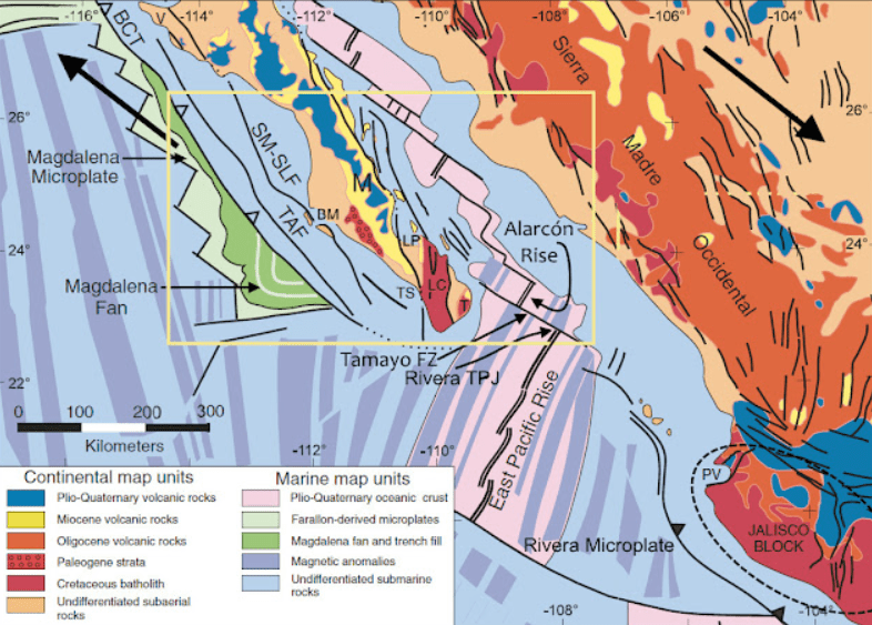
Strangely enough, the geology of Cabos San Lucas is related to the original formation of the San Andrea Fault in California. The San Andreas began to form in the mid-Cenozoic about 30 million years ago. At this time, a spreading center between the Pacific Plate and the Farallon Plate (which is now mostly subducted), was beginning to reach the subduction zone off the western coast of North America.
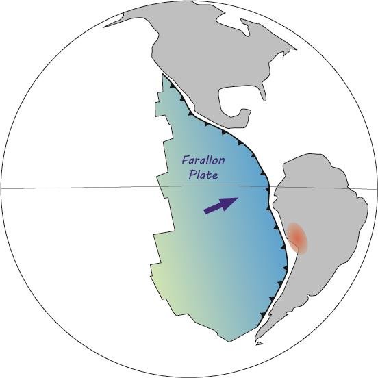
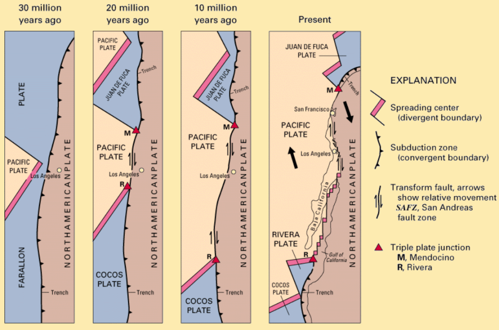
Imaged above, as the relative motion between the Pacific and North American Plates was different from the relative motion between the Farallon and North American Plates, the spreading ridge began to be “subducted”, creating a new relative motion and a new style of deformation along the plate boundaries. These geological features are what are chiefly seen along San Andreas Fault. It also happens to include a possible driver for the deformation of the Basin and Range in Nevada & Utah, the rotation of the Transverse Range in Mexico (through Puerto Vallarta) and the separation of the Baja California Peninsula. {I visited Puerto Vallarta in 2005}.
Bottomline: Baja California and an extreme southwestern sliver of the United States, in the state of California, rides a minor block, and at the moment, being ripped sideways off the North American Plate. Land west of the fault system formed where the two plates slide past one another eases past the mainland at six centimeters a year. Someday Baja and southern California will become an island. In about 10 million years, island-borne Los Angeles should draw even with San Francisco; in 50 million years, Baja’s southern tip, (Cabos San Lucas), will lie offshore Oregon and Washington, and Los Angeles will say hello to Anchorage, Alaska.
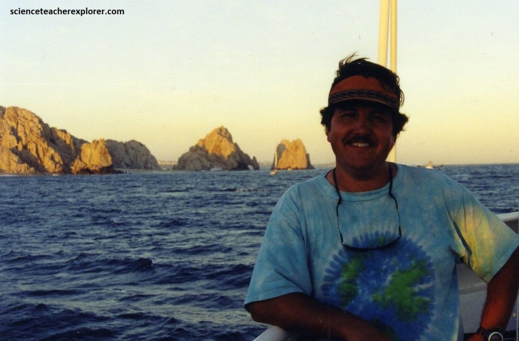
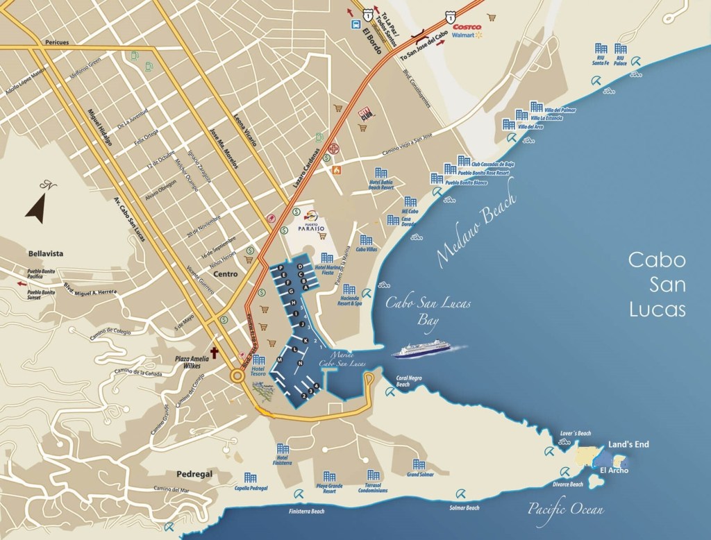
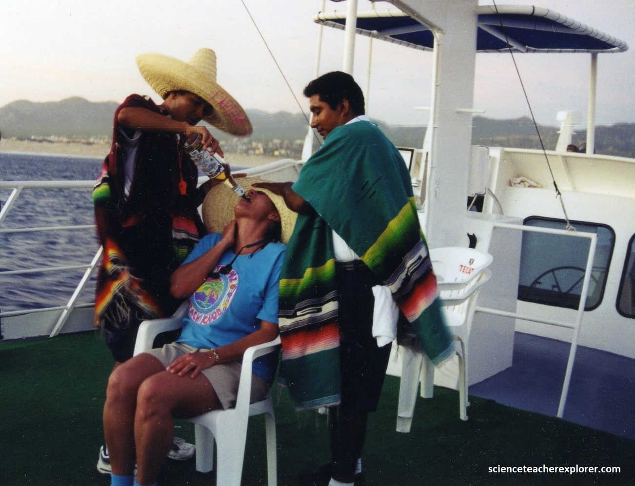
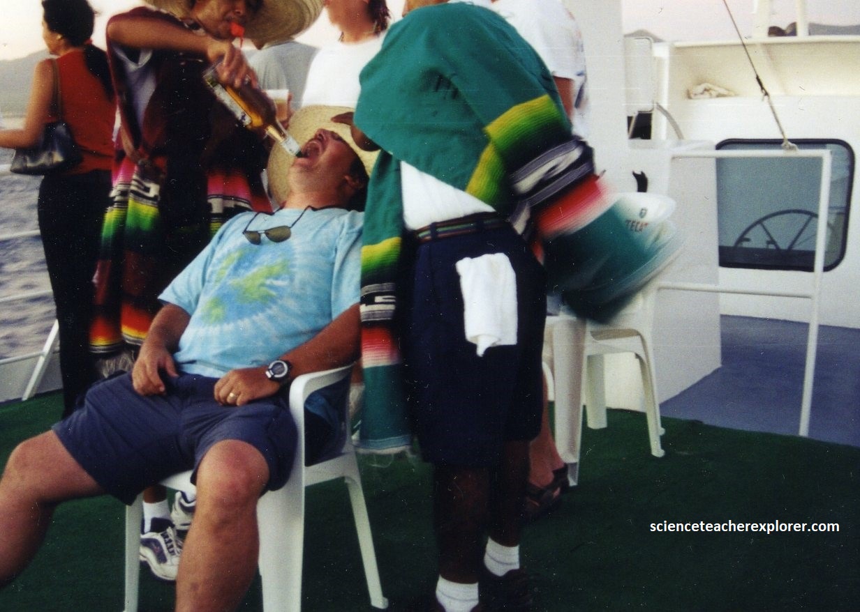
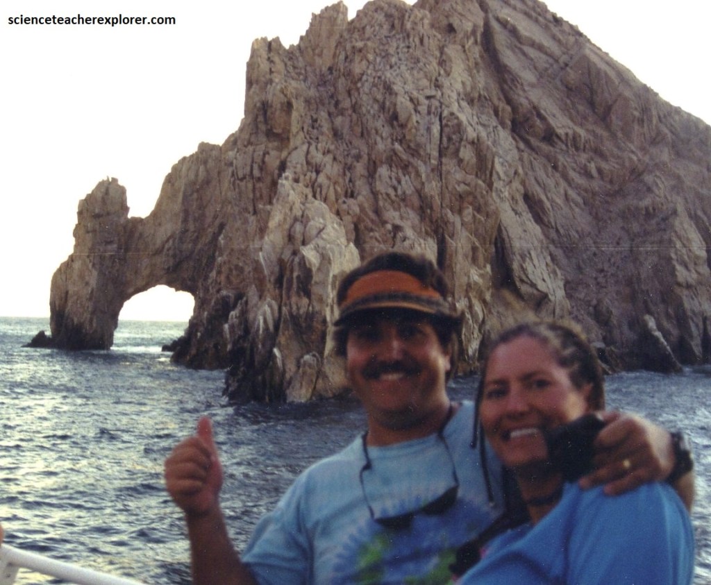
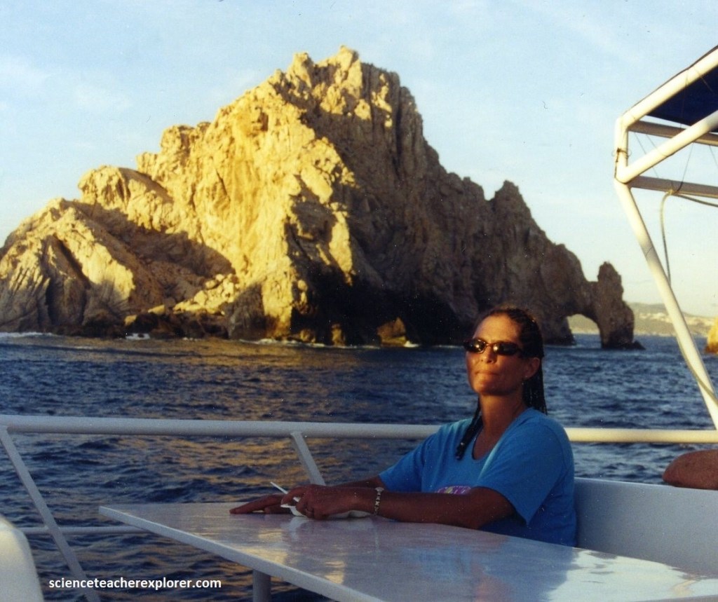
Meanwhile, to get a closer look at “La Arco”, Becky and I booked a sunset cruise to Land’s End from Playa Solmar. Much of Cabo’s reputation as a party town is well deserved. Pictured below, Becky and I participate in the tequila-shot challenge on the sunset cruise. Apparently the custom was to help you with the chasers, while blowing a whistle.
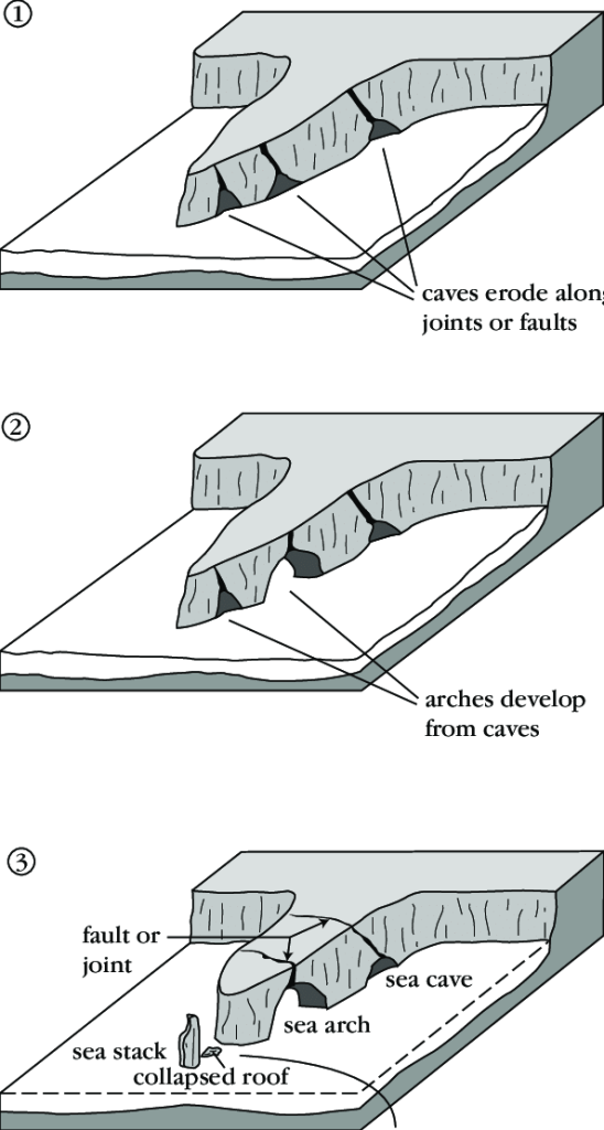
Sculpted by wind and wave near Cabo San Lucas spans the dramatic headland of Land’s End and its heavily joint-fractured granitic sea arch called “El Arco”. Ready to collapse into the sea at the next storm, it’s symbolically synonymous with the town of Cabos San Lucas, (pictured below).
Wave erosion is more effective along faults and joints where the rock is weaker, and so caves become excavated along these lines of weakness. As the waves pound into these new sea caves, the water hits the back wall of the cave and refracts. The force of the water bouncing off the back of then begins to erode the cave’s headland, over time, forming a sea arch. When they ultimately collapse, the remnants of the arch are called sea stacks.
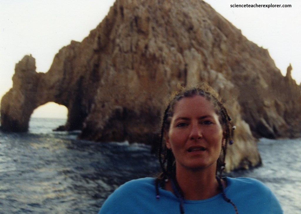
The arch was about three stories tall. Entering the arch in a small watercraft can be somewhat dangerous. The water level at La Arco was significantly going up and down. It appeared that being close to the sides of the arch was not recommended.
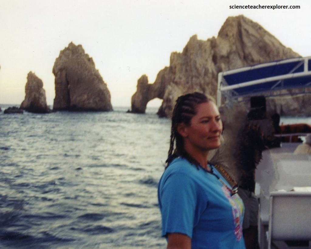
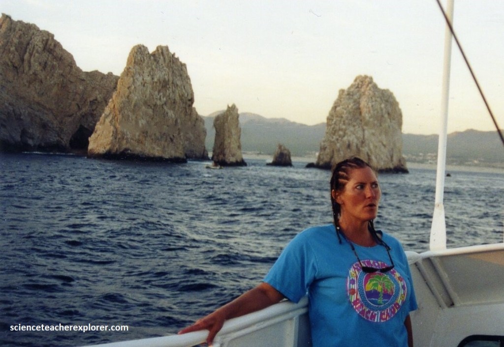
The the appearance of several Sea Stacks near La Arco, I would conclude that at different times there were several Sea Arches.
Basement rock in Los Cabos, La Arco and surrounding the La Arco, formed through intrusive igneous processes that occurred 115 million years ago, during the Cretaceous period. The rock of the La Arco was of a highly friable, (easily breakable or falling apart) reddish-orange granite. This is probably due to its close proximity to the rift off of the Land’s End point. The rift is where the ocean bottom separates or diverges.
Note: {The East Pacific Rise is where scientist first discovered strange animals living on the bottom of the ocean, where sunlight doesn’t reach. They live through a process called chemosynthesis instead of photosynthesis. They also discovered volcanic vents for the first time, (called “Black & White Smokers”). They approached these active vents while investigating the rift there in a deep-sea submarine called “The Alvin”. I met these scientists in Wood’s Hole, Massachusetts in 1991, while working there for the summer}. Here is a You-tube web-address to their site. Enjoy! https://www.youtube.com/watch?v=1_e_BA3Uz5w
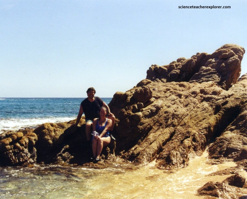
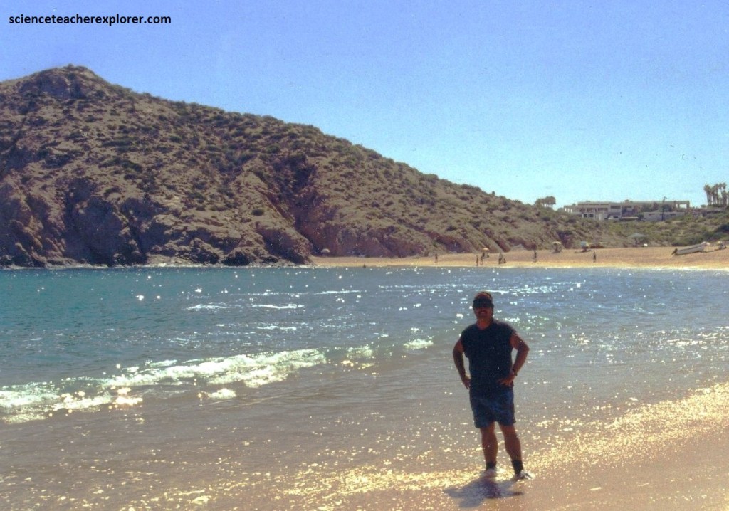
We were told that we could reach the arch from the west at low tide from the hotels or hike to it across Mount Solmar. The trek was short but slightly challenging, and for a small fee. This also enabled us to reach Lover’s & Divorce beaches so Becky could get some privacy to lay in the sun, (pictured below).
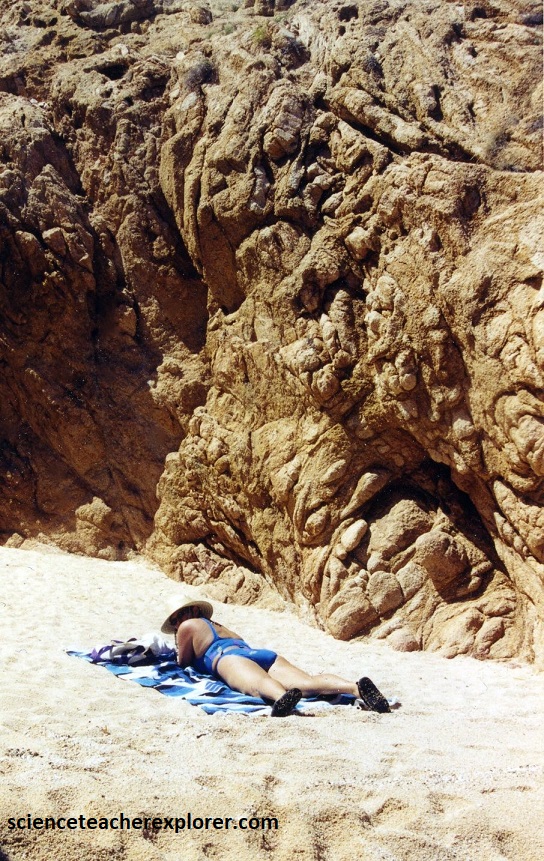
On Mount Solmar, I found the granite switch from a rich to poor potassium feldspar. The rich potassium-feldspar granite was an expected cream-color, were the poor potassium-feldspar granite was the friable red-orange color, (pictured above). This told me that in time, chemical and physical weathering resulted on the granite with the formation of a mixture of clays (largely from feldspars and micas), silt and and silica-quartz sand (erosion-resistant). This formed the beach that Becky of laying on and the remaining beaches found around Cabo via. water and gravity-transport.
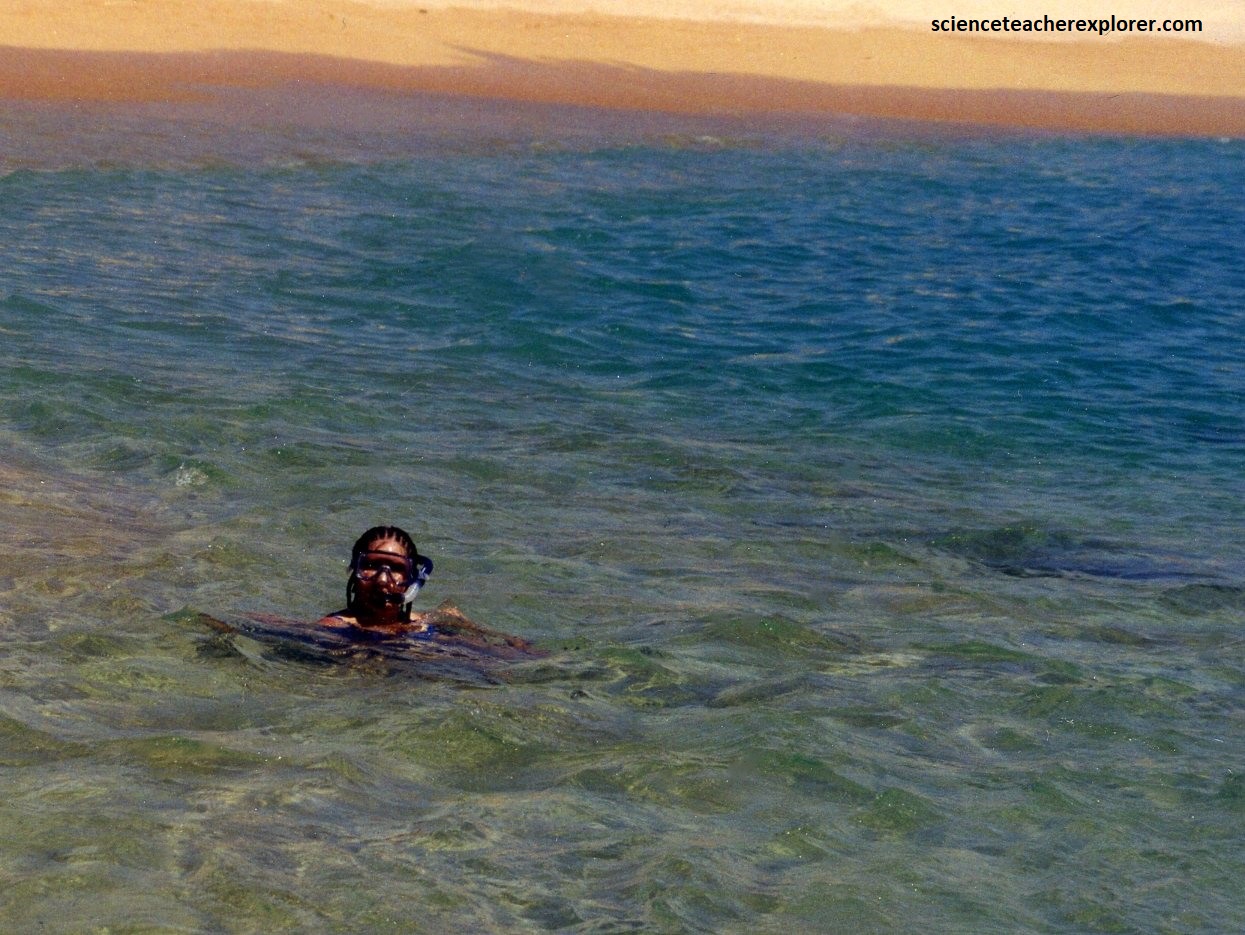
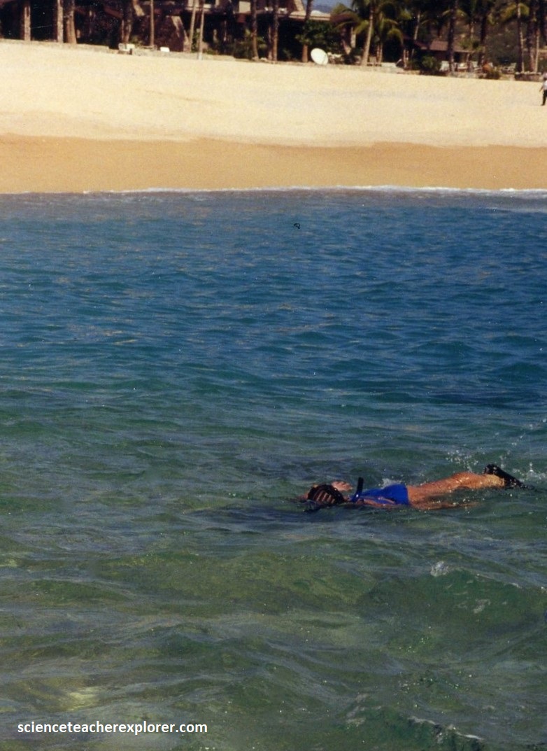
Later in the week, we tried snorkeling off of “Divorce Beach”. Pictured below is Becky snorkeling off of Divorce Beach in the background. We really didn’t see much life in the waters here, but it was fun anyway.

There was an energy and buzz in the streets of Cabo San Lucas that’s not found anywhere else on the peninsula. There was a lot of enjoyable things to do, (on and off the water). And there was always the local population, friendly and quick with a smile, to make us feel welcome. We had a great week vacation.