Jiuzhaigou, China 2008
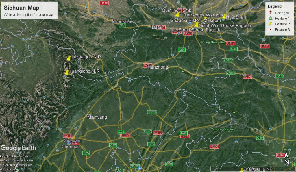
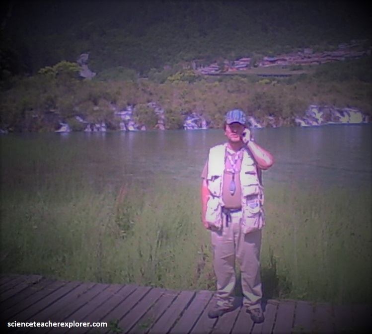
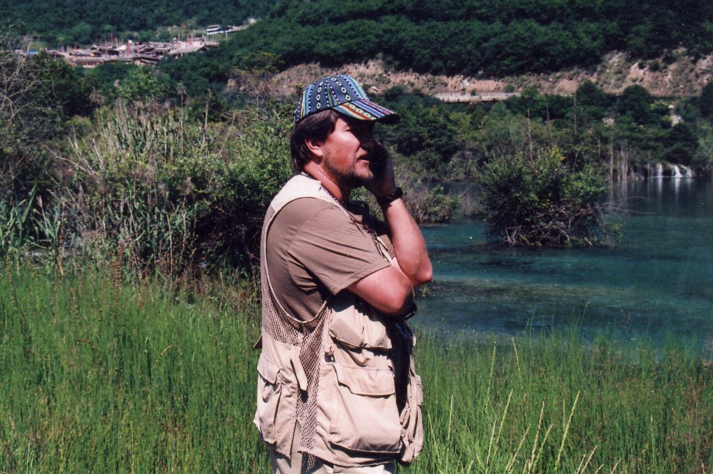
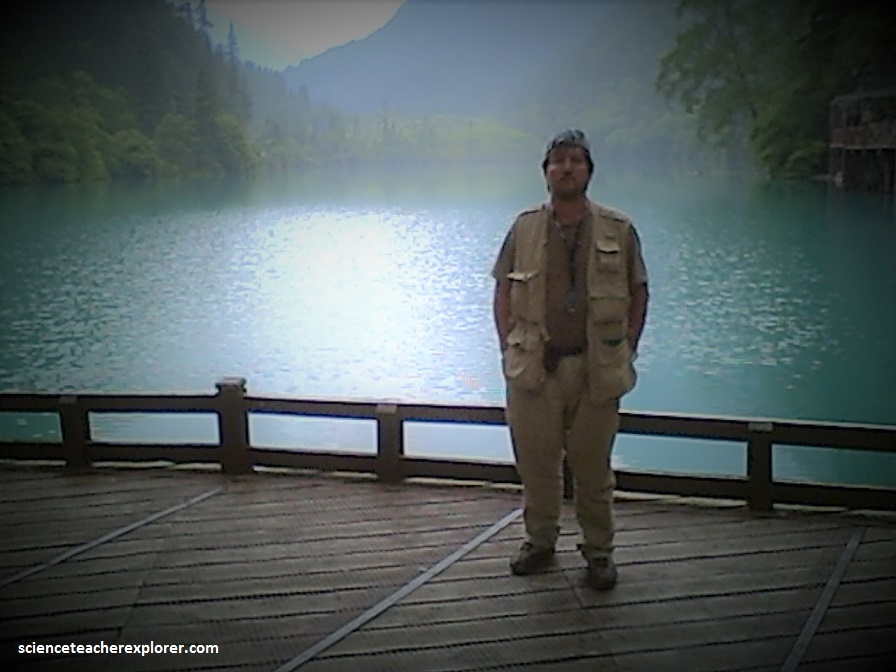
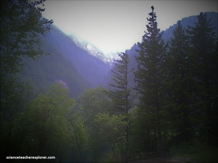
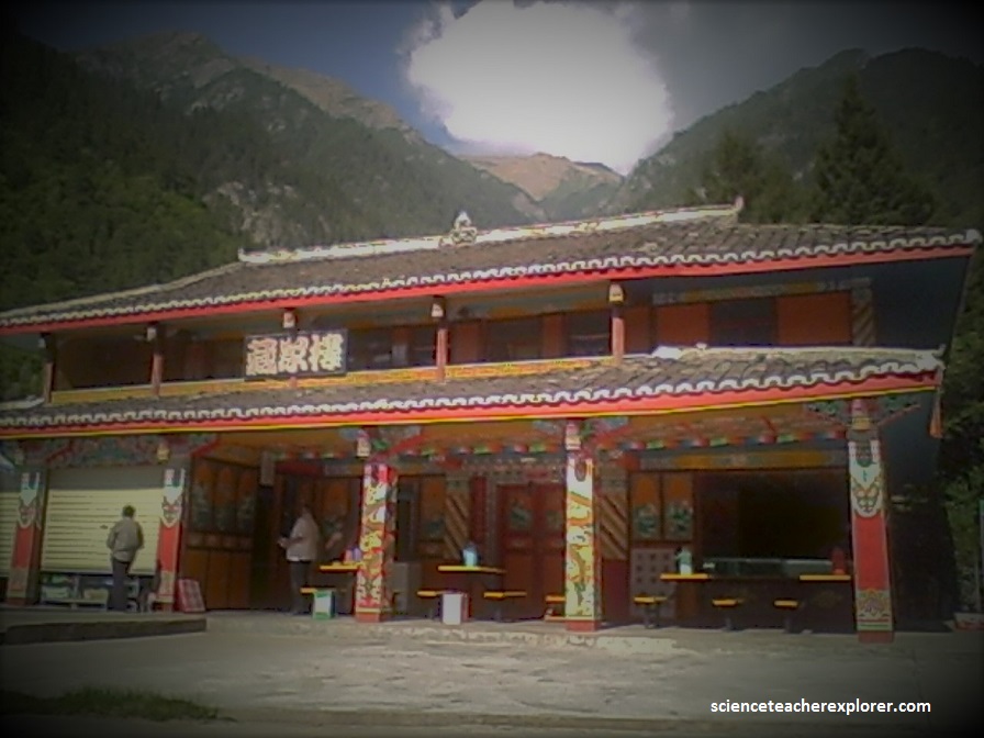
In 2008, I took the summer off to explore Northwestern China. One of my trekking destinations was Jiu Zhai Gou. Jiu Zhai Gou is a jagged region in the northern echelons of the Sichuan Province in the Aba Tibeta. It lies at the southern end of the Minshan Mountain range, 330 km north of the provincial capital of Chengdu. We explored this location after the “Great Sichuan Earthquake” and the park was closed closed to the public. However, I met an important scientist in Xian that booked my trekking group an airplane to Jiu Zhai Gou and allowed us to explore it alone and abandoned to the public. We stayed, one night within the park and experienced several large earthquakes.
Jiu Zhai Gou means “nine-village valley,” because it is said that there were once none Tibetan villages along it’s length. Only six villages remain today, with a total human population of about 800 people.
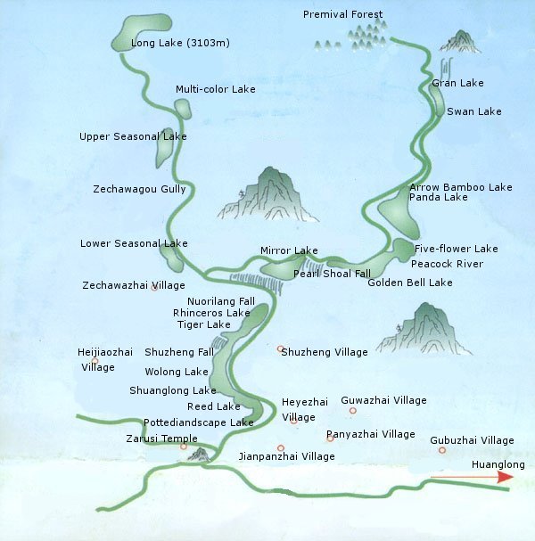
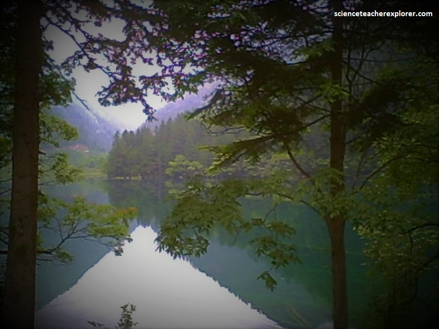
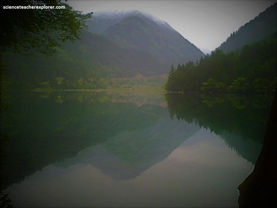
The Jiuzhaigou Valley Scenic and Historic Interest Area is a reserve of exceptional natural beauty with spectacular jagged alpine mountains soaring above coniferous forest around a fairyland landscape of crystal clear, strange-coloured blue, green and purplish pools, lakes, waterfalls, limestone terraces, caves and other beautiful features.
Covering 72,000 ha in the northern part of Sichuan Province, Jiuzhaigou preserves a series of important forest ecosystems including old-growth forests which provide important habitat for numerous threatened species of plants and animals, including the giant panda and takin.
The best-known features in the area are the many lakes, which are famous for their high calcium content, (fallen trees have been perfectly preserved in some of them for hundreds of years). The lakes are called “Haizi” by the Tibetan Locals, which means “children of the sea”.
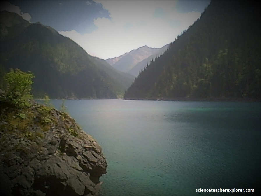
Many of the lakes are strings of classic ribbon lakes at the base of valleys that were once formed by glaciers and which have subsequently been dammed naturally by carbonate deposits. The three valleys are Shuzheng Valley, Rize Valley & Zechawa Valley.

Panda Lake has a calcareous dyke running through it that is clearly visible below the water surface, as the surrounding water is a darker color.
In a local folklore, the dyke is said to be a dragon sleeping on the bottom of the lake.
Jiuzhaigou is shaped on overlapping waterfalls of Cui Hai (the Emerald Lake), and evolves to its current appearance on the ground of crust transformation, glacial movement, karst landform and travertine accretion.
As far back as the Paleozoic of some 400 million years ago, Jiuzhaigou was under seawater. Due to the Himalayas orogenesis from the Quaternary Pleistocene period, the crust experienced drastic transformation, and mountains rose irregularly. Under the force of glaciers and water erosion, high peaks and loop valleys came into being. Furthermore, earthquakes contributed to cliff collapses, sliding, mudflow accumulation, lime corrosion, and travertine accumulation resulted in deep-valley lakes and pouring waterfalls. It is believed that the current landform and landscape scenery of Jiuzhaigou took shape some 2 to 3 million years ago.
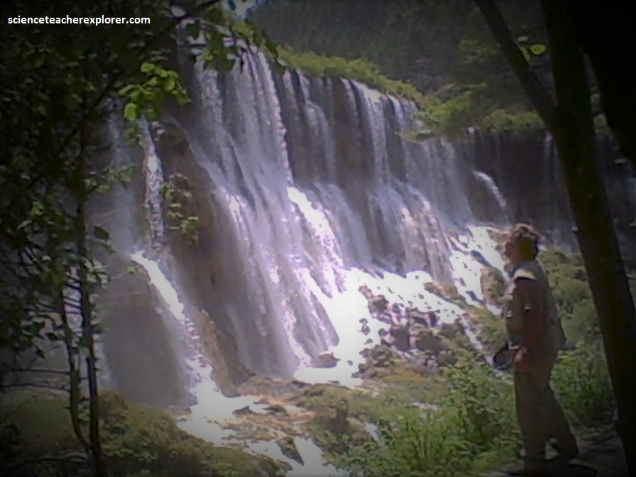
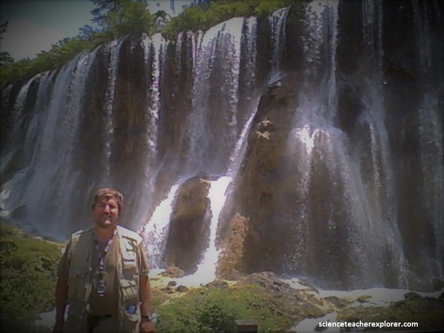
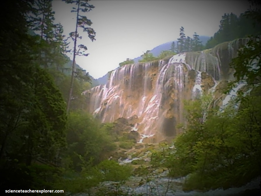
The karst landform is a precondition for existence of hanging cliffs and waterfalls. On a lifted fault platform, the accumulated mudflow deposits were under die karst action and turned into travertine accretion, which contribute to the height of its waterfalls, (typically the grand sight of the Nu Ri Lang Waterfall pictured below).
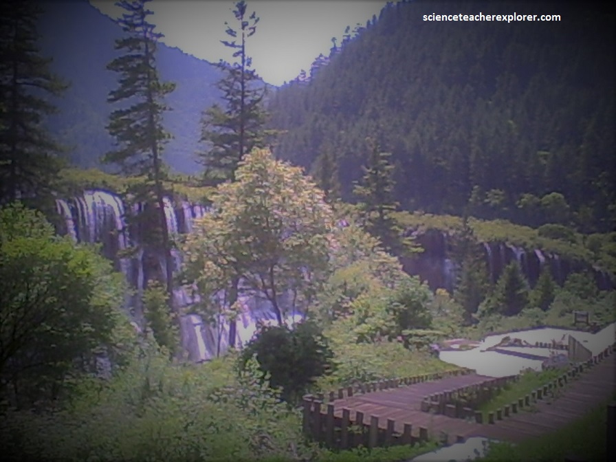
On it’s 30m (98 feet) wall, water pours down in an overwhelming manner, (pictured above). The well-developed glacial and karst landforms lay a foundation for the natural scenery of Jiuzhaigou.
Travertine refers to sediments mainly made of calcium carbonate substance. The unique features of Jiuzhaigou travertine sites are the product of water and bio-karst interaction, while the depositing of travertine sediments become dike barriers on the lakebeds.
As years proceed, travertine layers piled up to form different-sized travertine lake banks. The water spots blocked out become stair case shaped lake clusters. Water overflows one stair after another, and forms both high waterfalls and low overfalls.
Furthermore, aquatic plants, mosses and algae help to create colorful lake sights, the very core of Jiuzhaigou unique natural beauty.
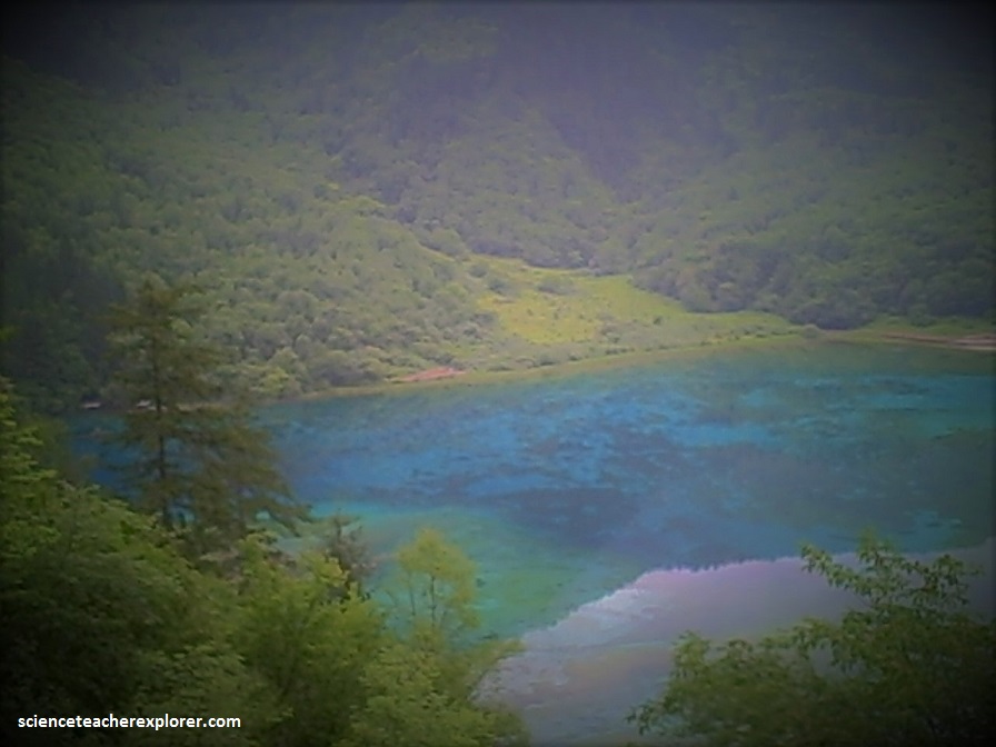
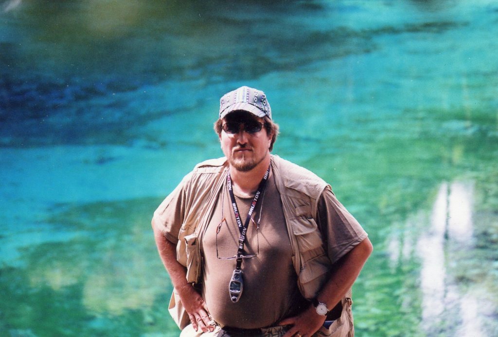
Pictured above, dozens of blue, green and turquoise-colored lakes constitute Jiuzhaigou’s best-known feature. Wu Hua Hai Lake is a mysterious lake that changes color throughout the year.
However, the most mysterious fact is that it doesn’t ice up in the Winter. It is the only lake in the park that doesn’t. Amazing for a lake at an elevation of 3,060 m. It also has a calcium content that 20x that of the other lakes. Much of these indicators are tell, tell of underwater springs.
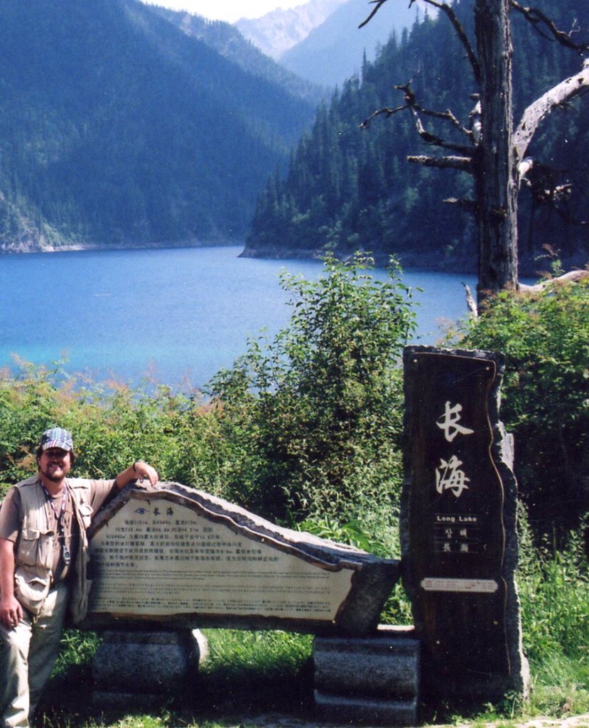
Pictured above, this is the largest lake in the park at an altitude of 3,101 meters above sea level. It is 4,349 meters in length, with a maximum depth of 88.8 meters. A terminal glacial moraine dams the front end water level fluctuates between 8 and 9 meters annually with lowest levels in winter. The Long Lake is an important “reservoir” for Jiuzhaigou with water flowing through an underground karst water system (cracks, conduits and pores in the rick) to supply water to the other lakes.
Originating in glacial activity, rockfalls and other natural phenomena dammed them, then solidified through carbonate deposition.
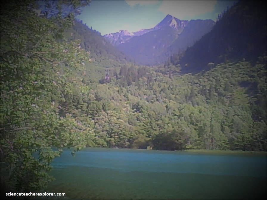
Some lakes have a high concentration of calcium carbonate, making their water so clear people can see the bottom even at high depths.
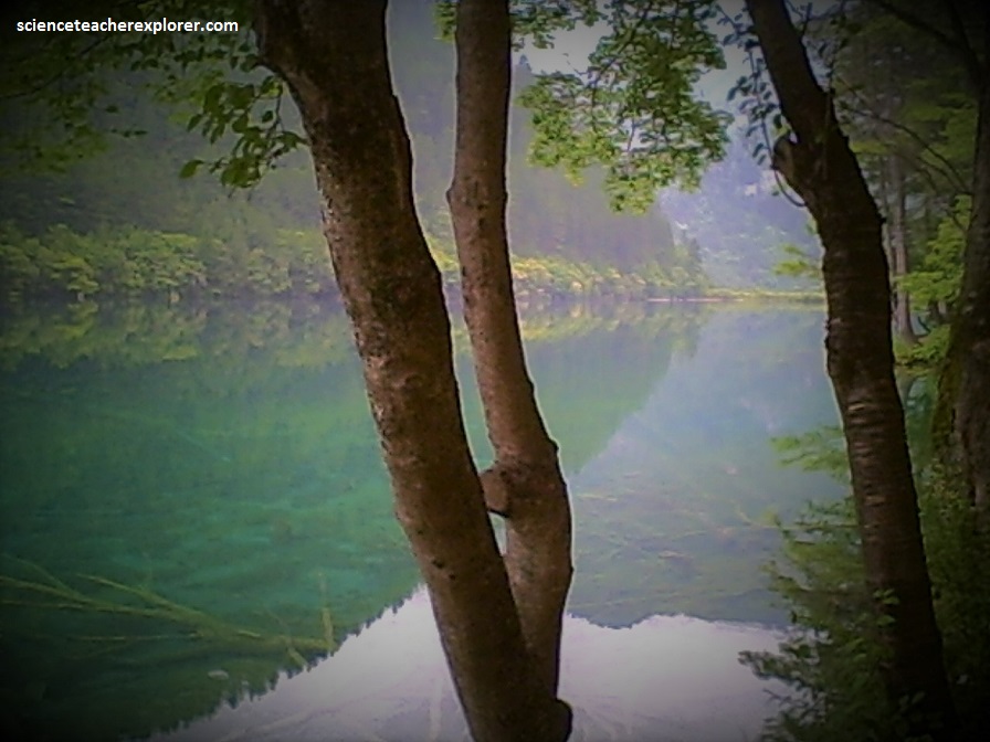
The lakes vary in color and aspect according to their depths, residues, and surroundings.
Pictured above, the waterfalls form a famous landscape in Jiuzhaigou and are the most beautiful scenery among the water landscape. The altitude of the Pearl Shoal Waterfall is 2,443 meters. It is 40 m in height and about 300 m across. (Zhenzhu Tan Bao Bu waterfall).
The water falls from the top of the rock platform, cutting by the new-moon like rock to several branches.
There are many pine trees and China firs growing around the waterfall because of the suitable temperature and the wet environment. It is not a waterfall straight down the cliff, but through a shoal face of about 20 degrees at first.
When the thin water-course flows over the shoal face, it reflects bright sunshine like the pearls do. So it gets the name Pearl Shoal Waterfall.
With a cool climate, the temperate has a mean annual temperature of 7.2 degree Centigrade, with a means of -1 degrees Centigrade in January and 17 degrees Centigrade in July. Total annual rainfall is 661 mm.
Tibetan and Qiang peoples inhabited the remote region for centuries, although not officially discovered by the government until 1972.
Extensive logging took place until 1970, when the Chinese government banned such activity and made the area a national park in 1982. UNESCO designated the site a World Heritage Site in 1992, and a World Biosphere in 1997.
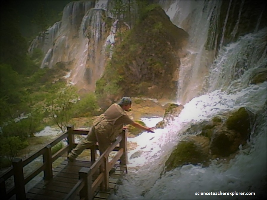
The “2008 Great Sichuan Earthquake” occurred a month before we explored Jiuzhaigou. It measured 8.0 on the Richter Scale and killed 69,000 people in the Sichuan province. 374,176 were reported injured and 4.8 million people became homeless. The epicenter was just a few kilometers west of Jiuzaigou and many of the local mandarin workers told us that exploring Jiuzaigou alone would be very dangerous at this time. They felt that the local people in the park would kidnap or kill us. But we trekked it anyway, under these after-shock conditions. The local people that we stayed with were wonderful and very friendly. However, the aftershock earthquakes were a little unnerving throughout the night. The opportunity to explore a world famous park like Jiuzhaigou, without tourists in the way was fortunate. We had the entire park to ourselves. But we had to walk it.
