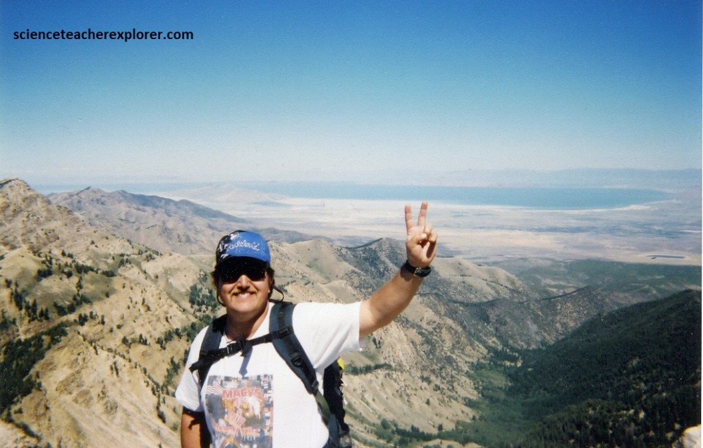
Deseret Pk., UT 2000
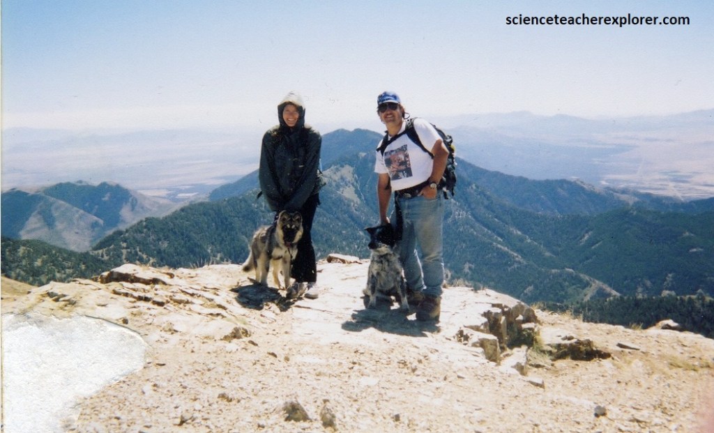
In the summer of 2000, Becky (my wife) and I decided to climb Deseret Peak (3362m) of the Stansbury Mountains in Utah with our friends, Dave and LaRue Fillerup.
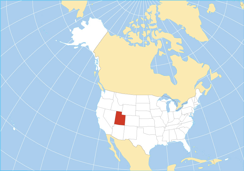
Deseret Peak (3362m) is the highest summit in the Stansbury Mountain Range. These mountains are located west of Salt Lake City and Tooele and southwest of Grantsville.
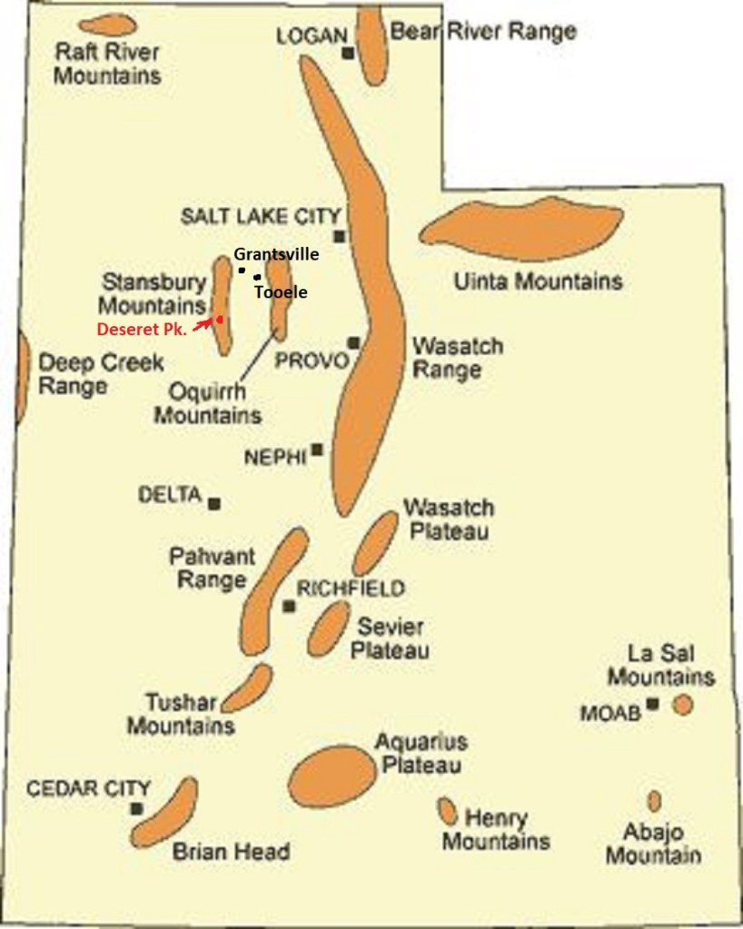
To get there, we drove on I-84 to Grantsville. At 400 West street, we turned south and drove 10 km when the road veered southwest at the fork. We following the sign to South Willow Canyon for another 6 km to the forest boundary sign.
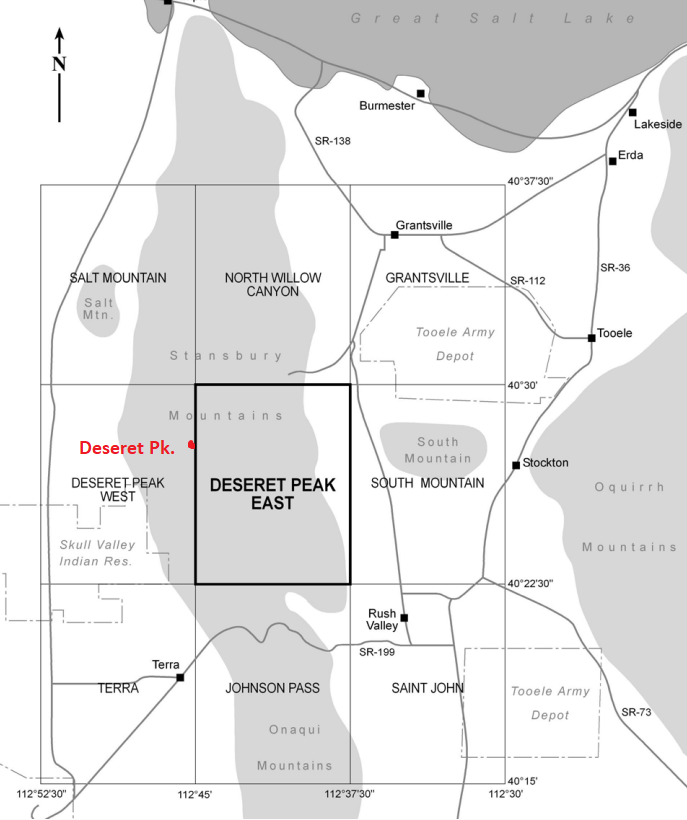
We continued up South Willow Canyon for another 7 km to a loop campground. At the time it was called Scout Campground. We stayed there for the night, in our tent-tailor, (pictured below).
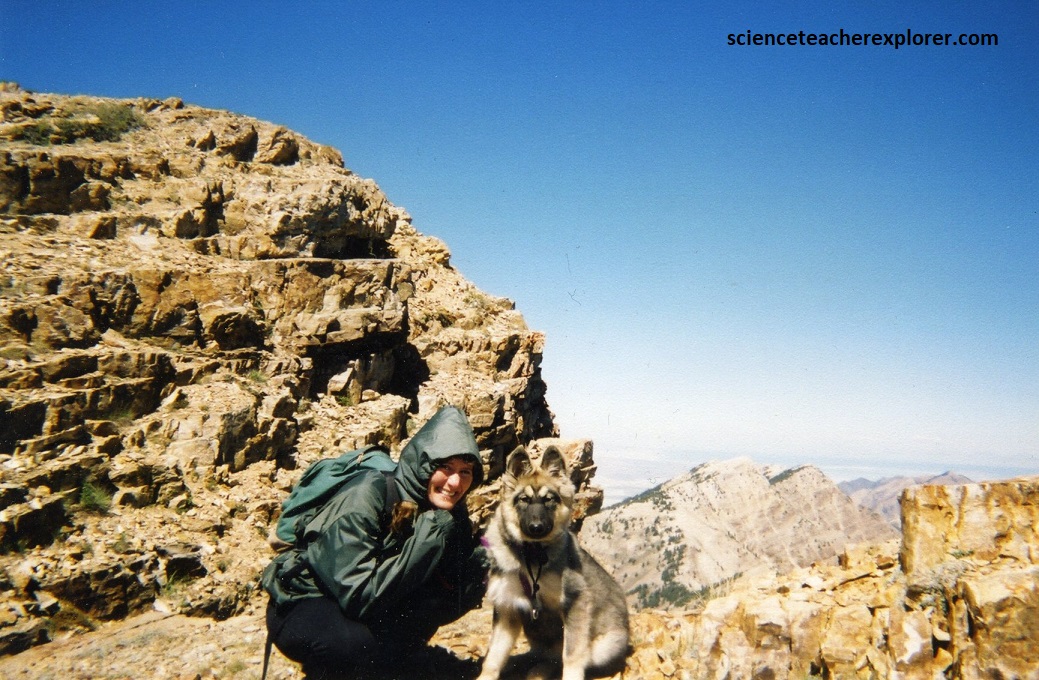
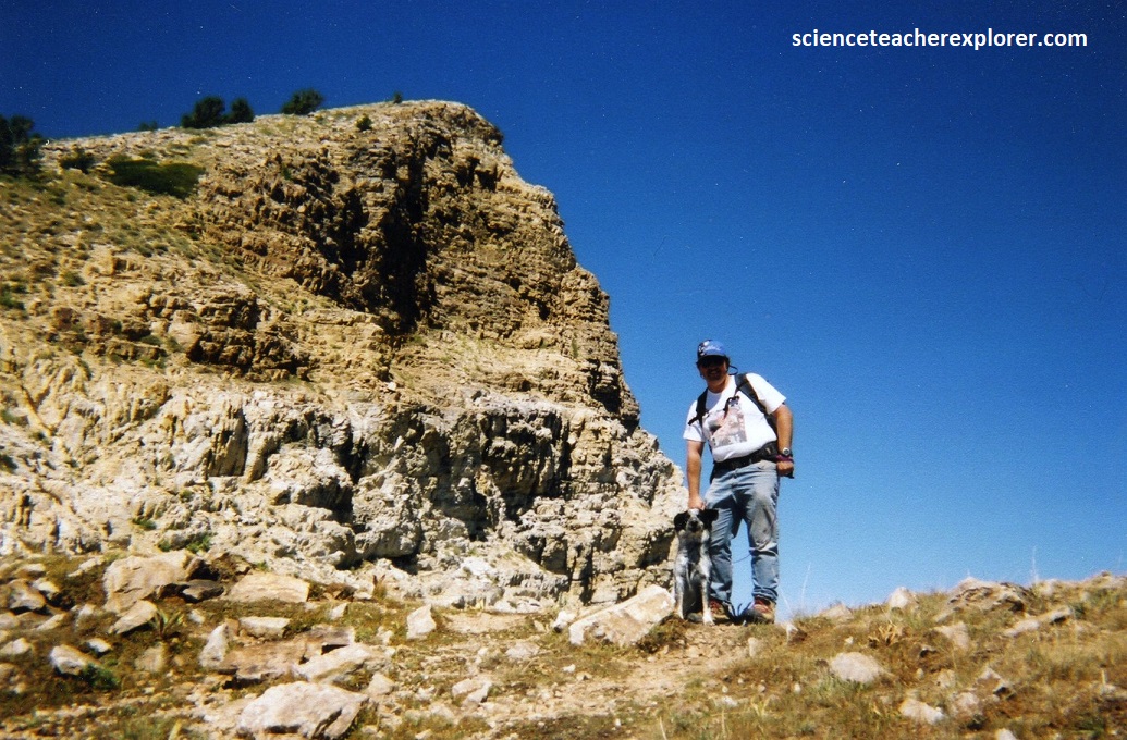
We brought along our two dogs; “Lakota and Blue”. We felt this was a perfect little trek that they could handle.
Rocks on the east and southeast slopes of the Stansbury Range are mostly limestone, while the greater part of the range, and Deseret Peak, is made of quartzite.
The Stansbury Mountains encompass formations of early and late Paleozoic periods; Cambrian limestone, dolomite, and quartzite are exposed to the west, and are unconformably overlain by Mississippian limestone and dolomite in the central area. Ordovician, Silurian, and Devonian units in the southwest are progressively cut out by the Late Devonian unconformity.
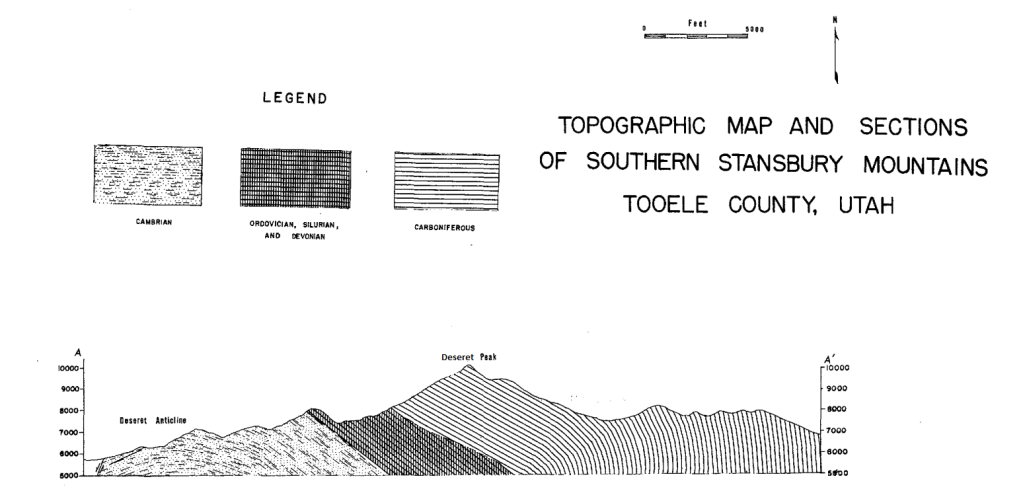
The Central Range fault separates Permian-Pennsylvanian Oquirrh Group and overlying strata to the east from the Mississippian limestones and dolomites. The Stansbury Mountains and Stansbury Island are part of a long, narrow fault block in which Paleozoic rocks, in addition to being faulted upward, (by Basin and Range Graben Blocking), comprise the Deseret anticline.
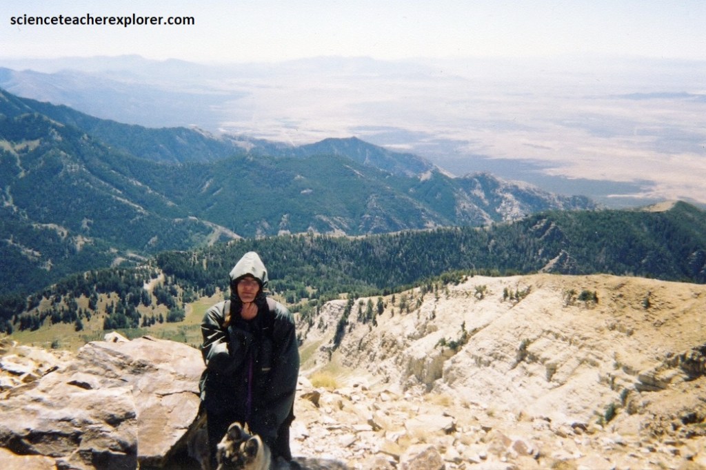
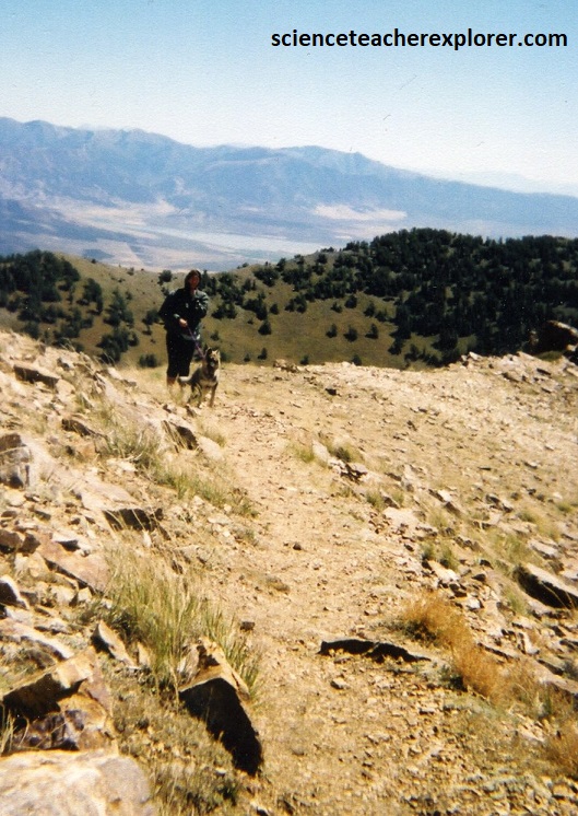
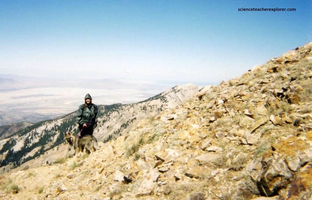
The Tintic Quartzite represents the oldest unit exposed on the trek and is well exposed along the high crest of the range, (include Deseret Peak), where it forms the hinge zone and west-limb of the Deseret anticline for nearly the entire length of the range. The lowermost part was a light-pink, brown and maroon quartzite-clast conglomerate. The majority of the unit was thin to thick-bedded, light gray to light tan quartzite, commonly weathered reddish-brown with hematite staining. The uppermost section is a reddish-brown, medium to thick-bedded, medium to coarse-grained pebbly quartzite. Pictured below are photos looking upward towards the Tintic Quartzite Deseret Peak from the top ridge. Both photos are looking northwest at Becky with Lakota and myself with Blue.
The exposed Tintic Quartzite thickness is estimated to be approximately 853 m. It is considered to be of Middle to Early Cambrian in age.
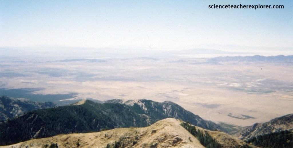
Pictured below, the southwestern side of Deseret Peak is look at what the Great Basin is all about. The Great Basin is a vast, semiarid desert that extends from the Wasatch Front, across Nevada, to the Sierra Nevada mountains of California. The desert is not unbroken, though. It contains a number of narrow, isolated mountain range, running mostly in a north-south direction and separated by long desert valleys, like the one below called Skull Valley.
In Utah the best known and most accessible of the Great Basin mountain ranges is the Stansbury Range, with which Deseret Peak is the highest point. The Stansbury Mountains are almost the only Great Basin range in Utah with a good system of hiking trails. It was a perfect outing with my family and friends.