Chimborazo, Ecuador
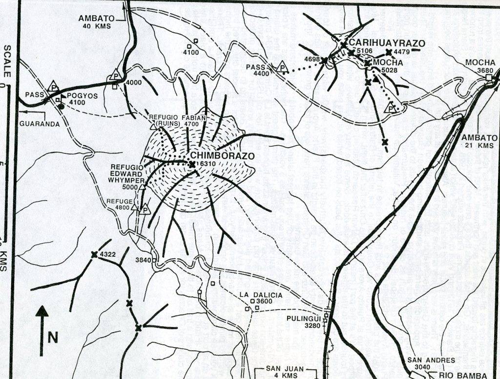
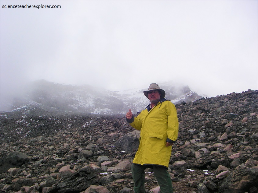
Mike Stevens, (my traveling buddy), and I decided to explore the Chimborazo Region while trekking Ecuador in March of 2022. Our first destination, was to partially trek up the highest mountain peak in Ecuador called the Chimborazo Volcano, with a peak elevation of 6,263 m. The Chimborazo Volcano is in the Chimborazo Province of Ecuador, 150 km south-southwest of the city of Quito, Ecuador. The nearest cities are Riobamba, Ambato and Guaranda.
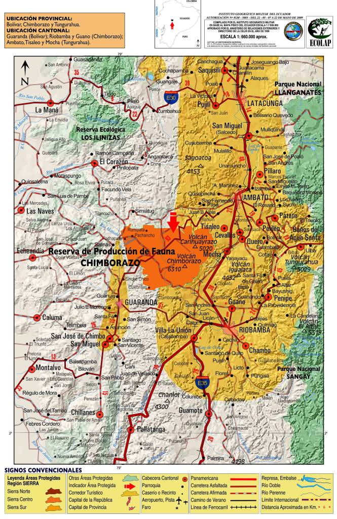
From Ambato, we took a car rental 45 km south-west on the Guaranda road to the “El Arenal”.
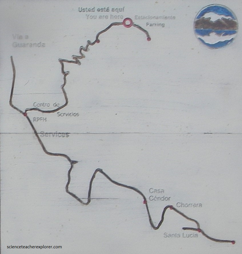
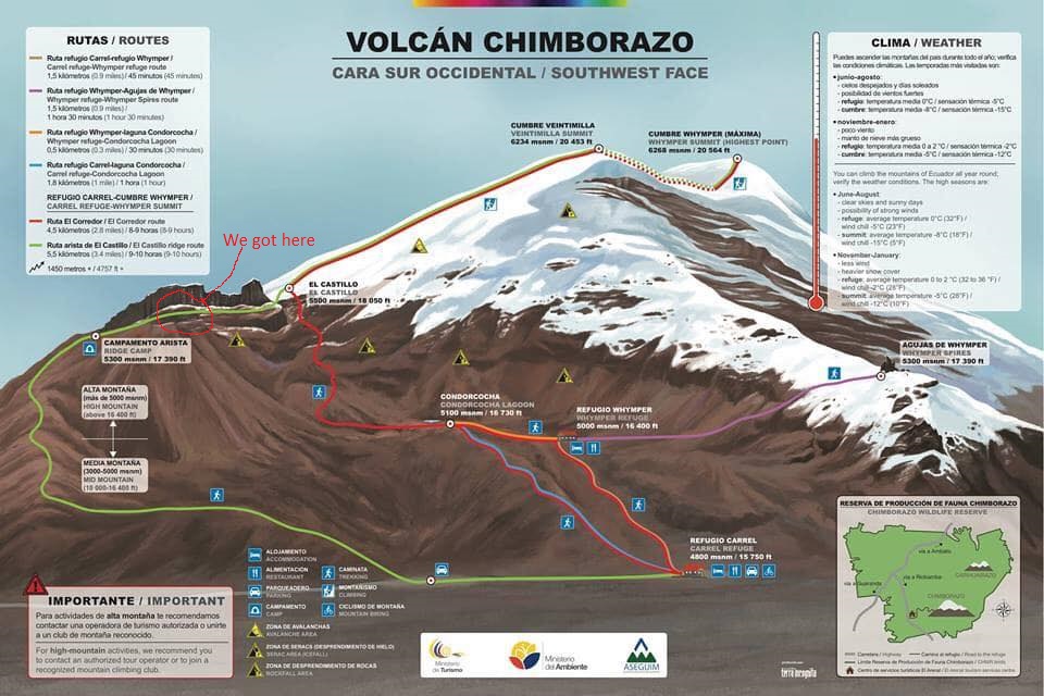
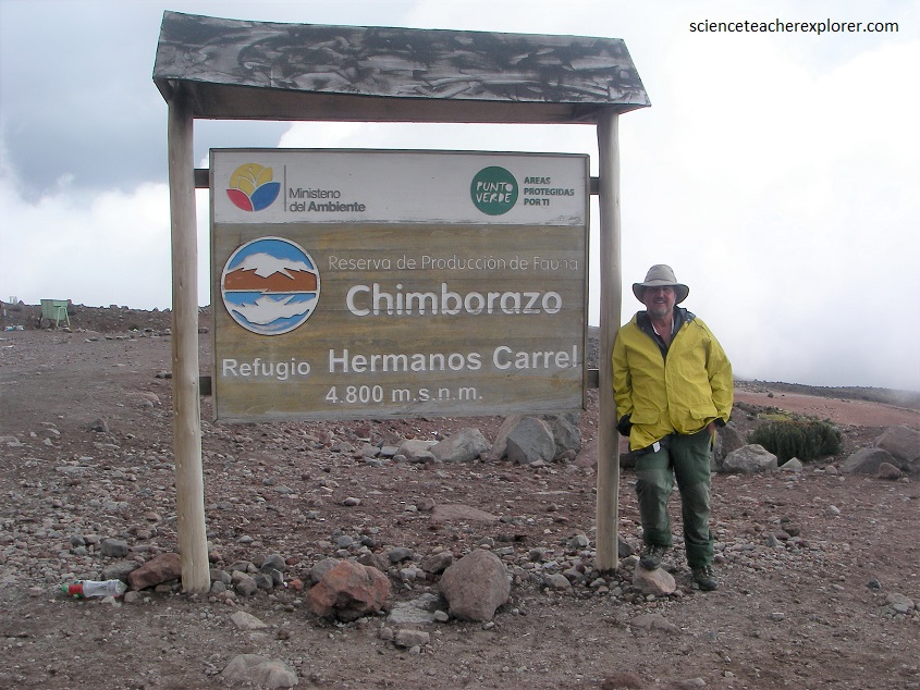
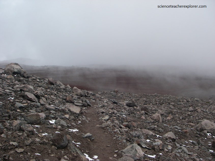
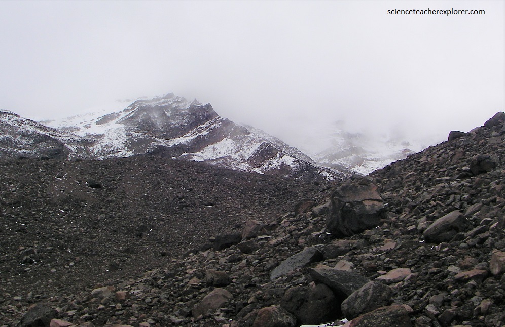
Pictured below, from the Chimborazo Wildlife Production Reserve Gate, we drove an additional 8 kilometers up on the mountain by car to the first “Carrel” refuge parking lot where we hiked on the north-western trail to the top of the Chimborazo Volcano. The Chimborazo Wildlife Production Reserve has two refuges: the Carrel refuge (4,800 m) and the Whymper refuge (5,000 m).
For the Indigenous Ecuadorians, the Chimborazo volcano is a sacred mountain of great importance due to its size. It is also home to a vast number of wildlife including more than 7,000 vicunas, hummingbirds, condors, pumas, deer, wolves, marsupial rats, rabbits, and camelids. The reserve has eight types of ecosystems which makes the Chimborazo Wildlife Production Reserve something very special.
The summit of Chimborazo is the fixed point on Earth that has the utmost distance from the center – because of the oblate spheroid shape of the planet Earth, which is thicker around the Equator than measured around the poles. Chimborazo is one degree south of the Equator and the Earth’s diameter at the Equator is greater than at the latitude of Everest (8,848 m above sea level), nearly 27.6° north, with sea level also elevated. Despite being 2,585 m lower in elevation above sea level, it is 6,384.4 km from the Earth’s center, 2,163 m farther than the summit of Everest (6,382.3 km from the Earth’s center).
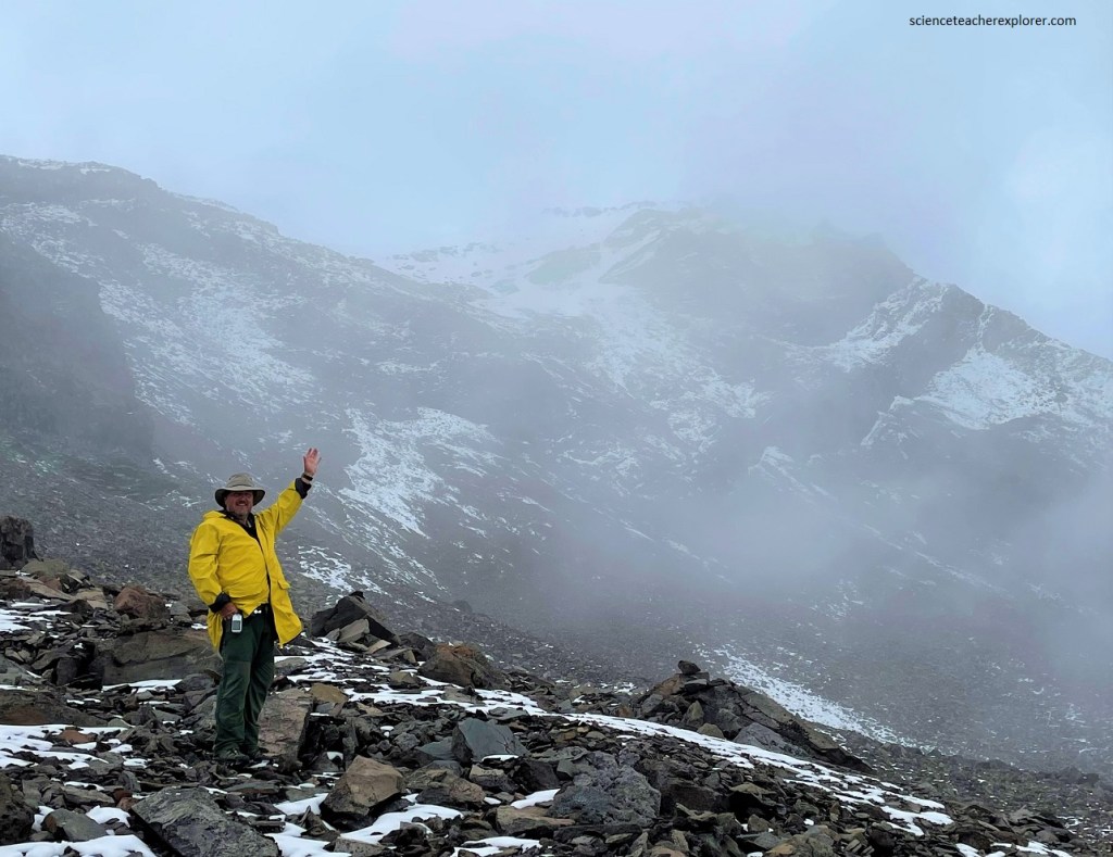
Further up the trail, we found a place of monuments from the deaths of climbers attempting to climb the Chimborazo Volcano. The location was just below “The Whymper Refuge” and is only one kilometer from the Carrel refuge.
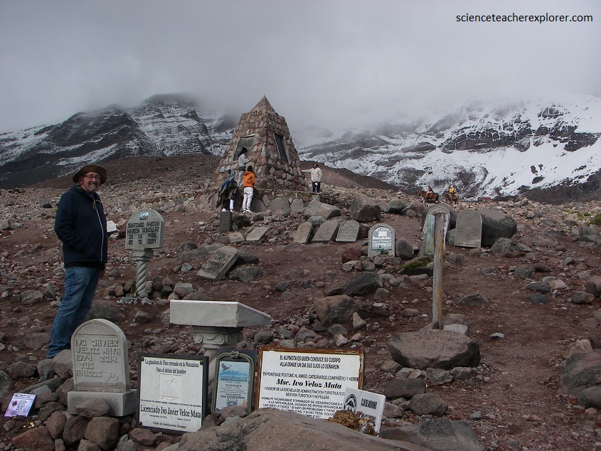
Climbing Chimborazo is dangerous due to the risk of avalanches, the severe weather conditions, and the fact that it is covered in glaciers. Climbing begins at night in order to reach the summit before sunrise when the snow melts, which increases the chance of avalanche and rockfall. On November 10, 1993 three parties of climbers, one ascending and two descending, were caught in an avalanche on the steep slopes of the Chimborazo. This avalanche buried ten climbers in a crevasse at 5,700 m. These climbers comprised six French, two Ecuadorians, one Swiss, and one Chilean. After the ten climbers were buried in snow, it took twenty people and ten days to find their bodies. This was considered the worst climbing accident in Ecuador.
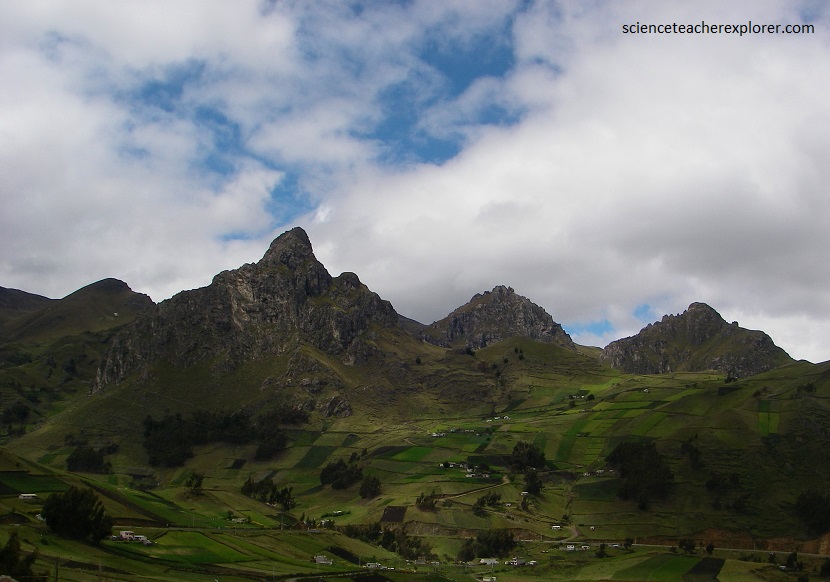
Chimborazo is a double volcano composed of one volcanic edifice on top of another. Chimborazo shows four summits; Whymper, Veintimilla, Politecnica, and Nicolas Martínez. The Whymper peak is the highest point on the mountain at 6,263 meters.
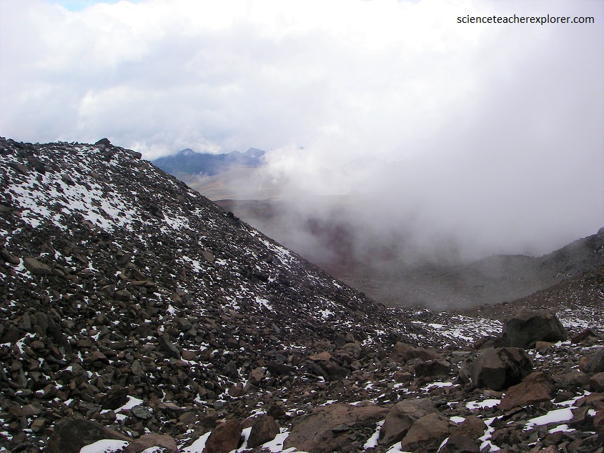
The volcano is categorized as a stratovolcano. This type of volcano is characterized as having low slopes at the bottom that gradually get steeper the higher up the mountain. Chimborazo has a circumference of 126 km and a diameter of 48 km. Chimborazo’s upper elevations are covered in glaciers that are decreasing in size due to climate change.
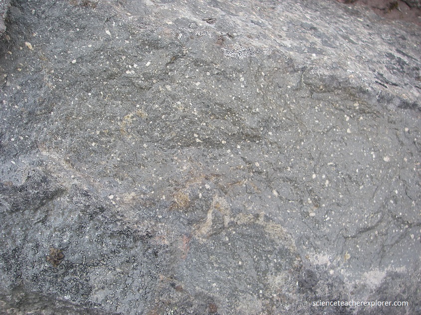
The volcano is dominantly andesitic to dacitic. This means that the lava was blocky, or flowing down the sides of the volcano, or somewhere in between (pictured below).
About 35,000 years ago a collapse of Chimborazo produced a debris avalanche with an average thickness of forty meters throughout the surrounding area. Chimborazo then erupted several times during the Holocene, the last time around 550 AD.
The eruptions after the collapse were primarily andesitic, or blocky, coagulated lava flow. These eruptions produced pyroclasitc surges that went down as far as 3800 meters altitude. There have been at least seven eruptions in the past 10000 years. Chimborazo is officially considered inactive, but studies show that there may be an eruption in the future. The average time between eruptions for Chimborazo is 1,000 years, and the last eruption was 1,400 years ago.
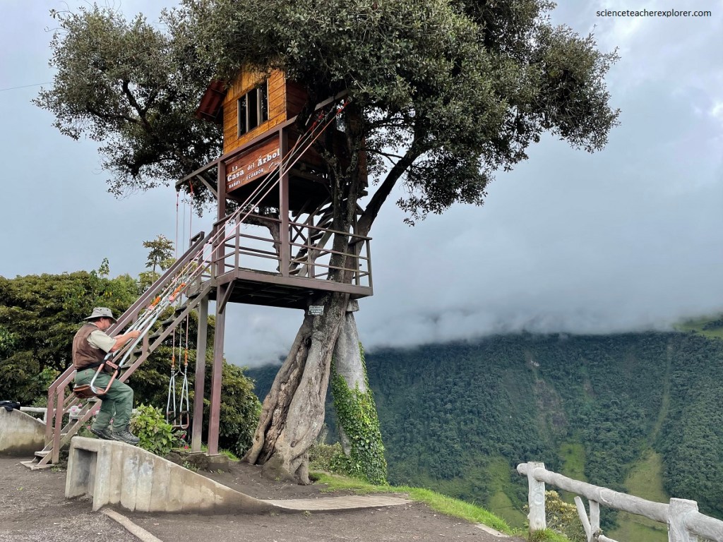
After the partial climb on the Chimborazo Volcano, we returned to Ambato, Ecuador. The next day we explored Baños de Agua Santa, Ecuador, to try the famous “Swing of Casa Del Arbol”.
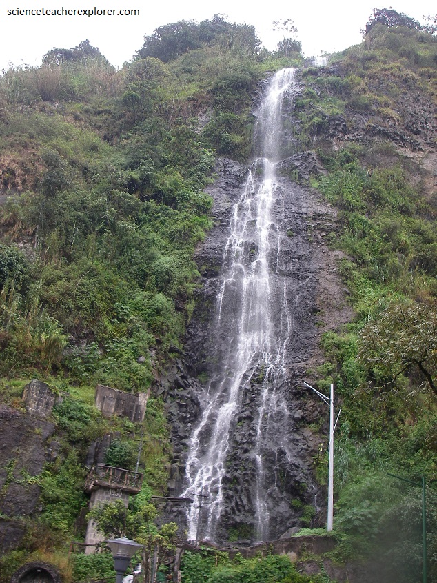
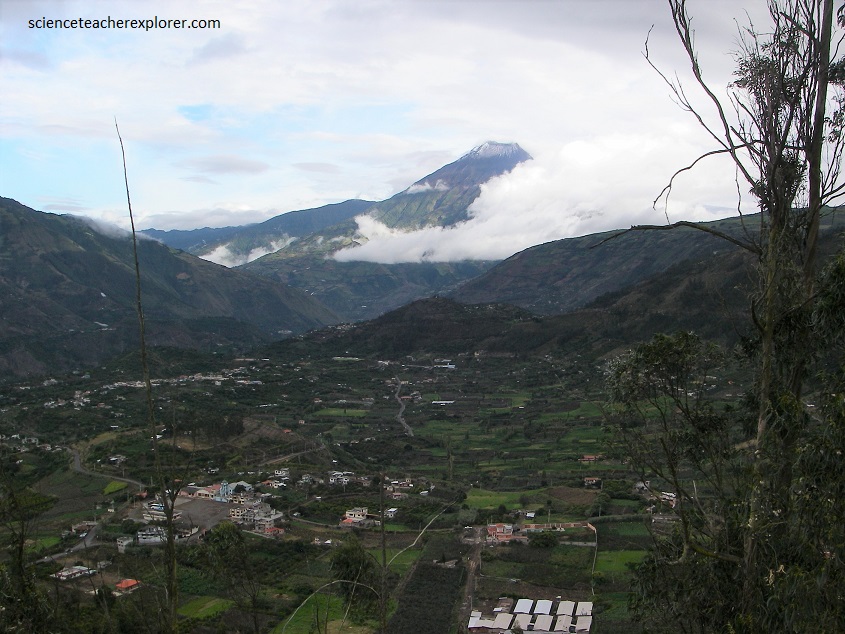
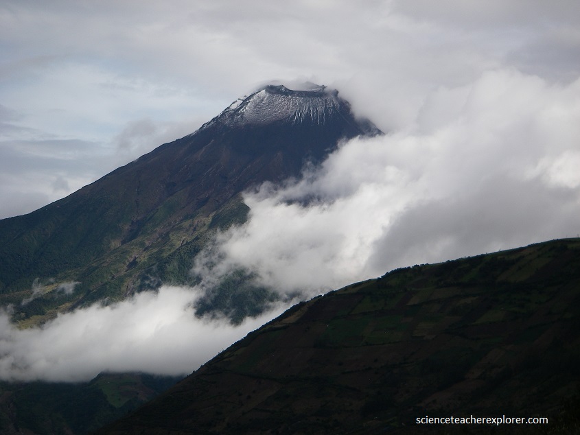
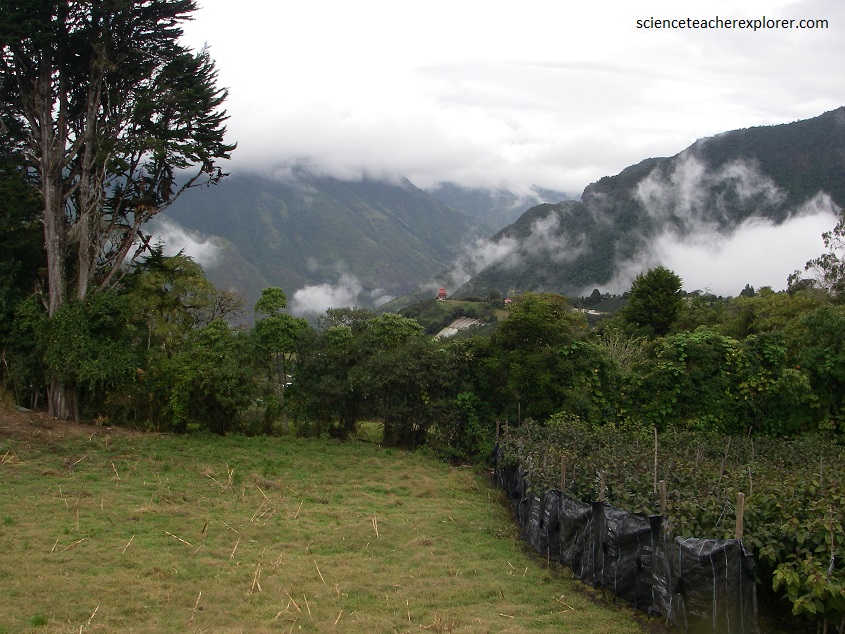
Banos de Agua Santa (Banos for short) is named after the hot springs located around the city which have a reputation of having healing properties due to the various minerals they contain. Baños is located at an elevation of 1,820 meters on the northern foothills of the Tungurahua volcano, whose activity has been characterized by frequent powerful ash explosions and lava flows that can be seen from Banos. Banos is about 45 km south-east of Ambato, Ecuador. We drove there with a car rental. The Casa del Arbol Swing was located about 10 kilometers outside and above Baños.
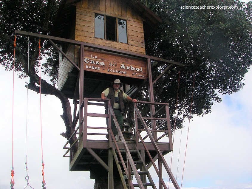
Carlos Sanchez, a volunteer with the Military Geographical Institute, was assisting a group of a volcanologists by observing and recording the activities of the Tungurahua volcano from a lonely tree house he had built on a green mountaintop near Baños, Ecuador, less than a kilometer away from the volcano’s crater.
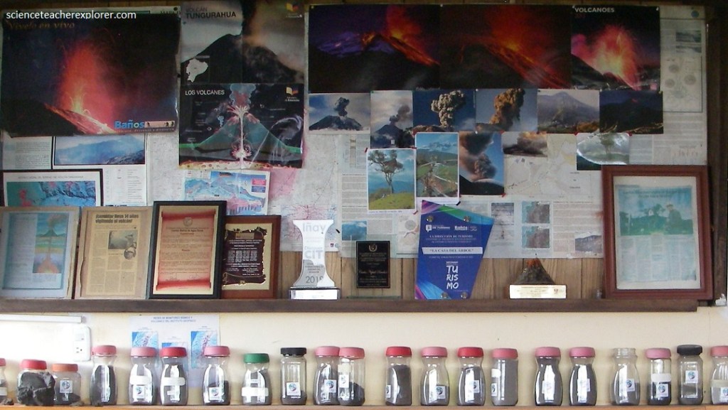
From the Banos mountaintop vantage point, Carlos Sanchez watches for potential pyroclastic flows that can rapidly move downslope towards the city of Baños, located at the foot of the volcano, 8 km to the north. Sanchez was equipped with a radio via which he can send alerts to the Observatory so that the inhabitants can be evacuated on time. The history of the town has been intimately linked to the highly-active Tungurahua volcano. In October 1999, all 17,000+ residents were forced to evacuate the city for weeks.
Sanchez’s family often visited him on his tree house on weekends, and to keep them entertained, he decided to build a simple wooden swing dangling from a branch that swung out over the edge of the mountainside. Then someone saw it and posted photos of this amazing swing on the internet, and now this place is swarming with tourists.
Visitors from all around the world trek to the mountaintop to ride the swing, enjoy picnics and leave notes in the tree house guest log.
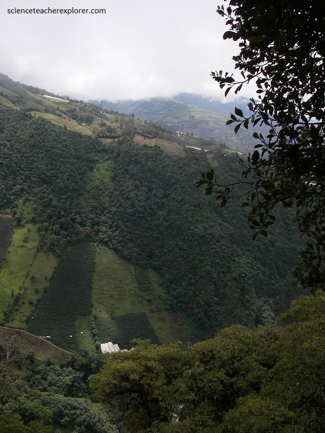
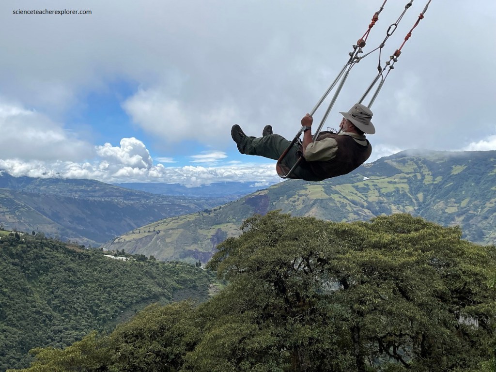
In the next few years, the mountainside had developed into a swing-riding haven, with similar attractions dotting the hillside. But Carlos Sanchez’s Casa del Arbol, or “the Tree House”, sitting right at the top of the mountain is still the best. The view is gorgeous, (pictured above).
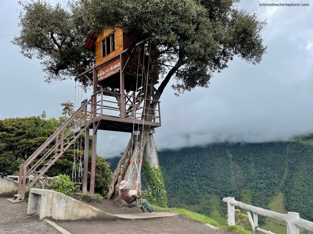
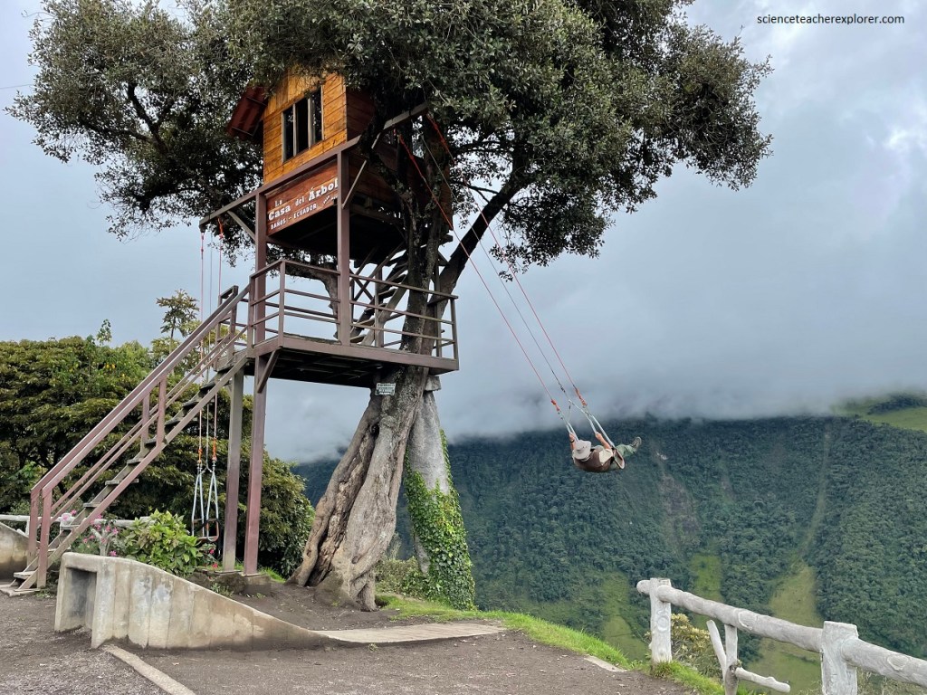
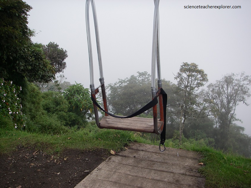
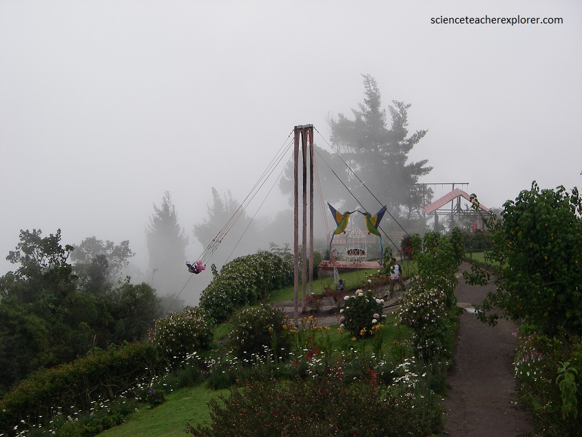
It has been given different names for the swing. “The swing at the edge of the world”, and “the swing of death” are the most common. Although it appears to hang over a dangerous cliff, the swing actually hangs over a steep slope that rolls down a distance of about 30.5 meter vertical drop.
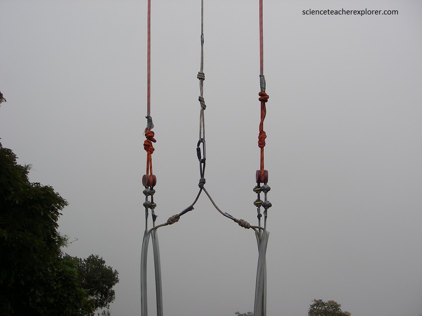
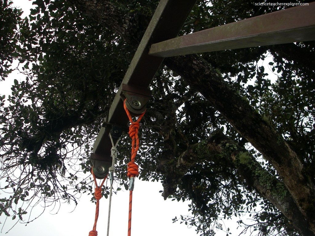
Originally there was only one swing on the tree house, and it hung from a branch. Now out of safety concern, a steel beam was added from which the swing hangs now. A second swing with a seat belt was added as well, (pictured below).
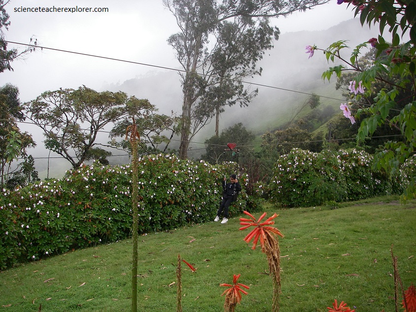
Other home-made rides were included on site. The entrance fee was only $5, and made it a great place to take kids for the day, (picture below). It was like a small home-made garden/amusement park.
The adrenaline rush is worth it the trouble for trekking here, as the experience offers extraordinary views of the mountainous landscape and the very active Tungurahua Volcano.