Cotopaxi, Ecuador 2022
My friend, Mike Stevens, and I trekked Ecuador in March of 2022. While there, we spent a week in Quito, Ecuador and exploring the local sites. Our major goal destination was Cotopaxi National Park.
Quito is located in the northern highlands of Ecuador in the Guayllabamba river basin. The city is built on a long plateau lying on the east flanks of the Pichincha volcano. The valley of Guayllabamba River where Quito lies is flanked by volcanoes, some of them snow-capped, and visible from the city on a clear day. Quito is the closest city to the equator. Quito’s altitude is listed at 2,820 m.

The volcanoes on the Central Cordillera (Royal Cordillera), east of Quito, surrounding the Guayllabamba valley, include Cotopaxi, Sincholagua, Antisan and Cayambe. Some of the volcanoes of the Western Cordillera, to the west of the Guayllabamba valley, include Illiniza, Atacazo, and Pululahua (which is the site of the Pululahua Geobotanical Reserve). We decided to explore Cotopaxi, Illiniza and Pululahua. Our first destination was the Pululahua Geobotanical Reserve, (pictured below).
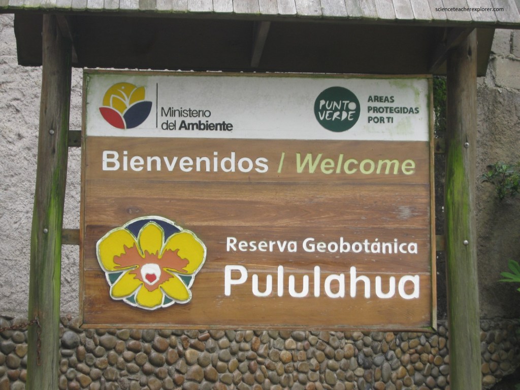
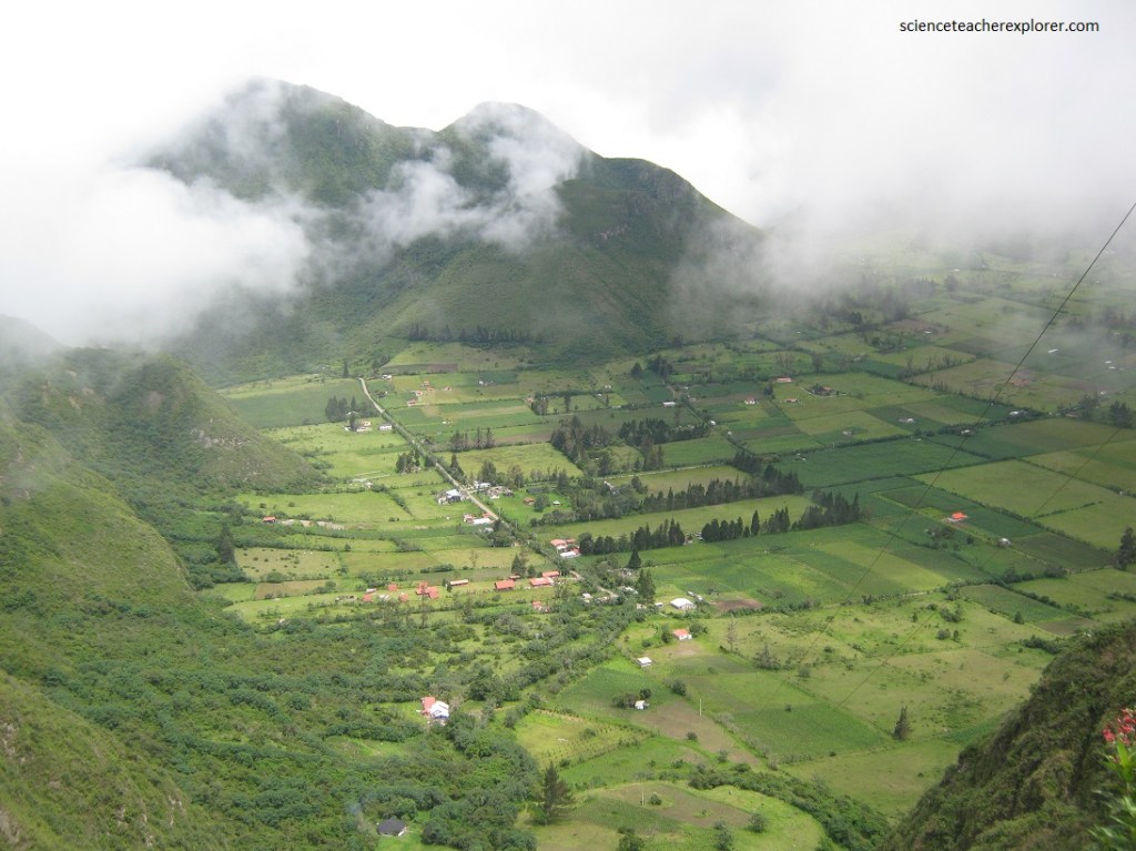
The Pululahua Geobotanical Reserve is a protected area around Pululahua Volcano, 17 km north of Quito. The most notable feature of this site is “el crater de Pululahua”, which is one of only two volcanic craters in the world inhabited by humans (and the only one that is farmed). This reserve was shrouded in a thick layer of clouds or fog the day we were there. The land here is extremely fertile because it is volcanic (igneous) soil and, as mentioned earlier, is used to cultivate crops, (pictured below).
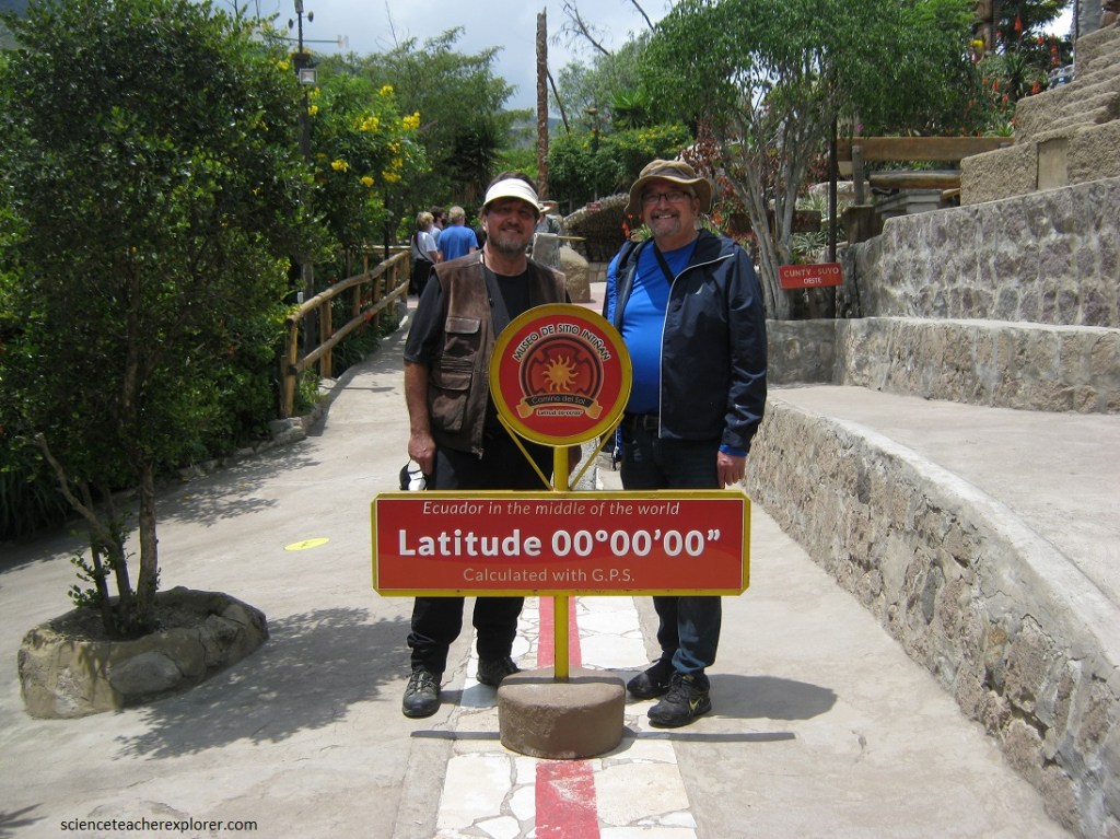
Just south of the Pululahua Geobotanical Reserve is the Middle of the World. The “Middle of the World City, (Ciudad Mitad del Mundo), is a tract of land owned by the prefecture of the province of Pichincha, Ecuador. It is located 26 km north of the center of Quito. The grounds contain the Monument, which highlights the exact location of the Equator (from which the country takes its name) and commemorates the eighteenth century Franco-Spanish Geodesic Mission which fixed its approximate location (pictured below).
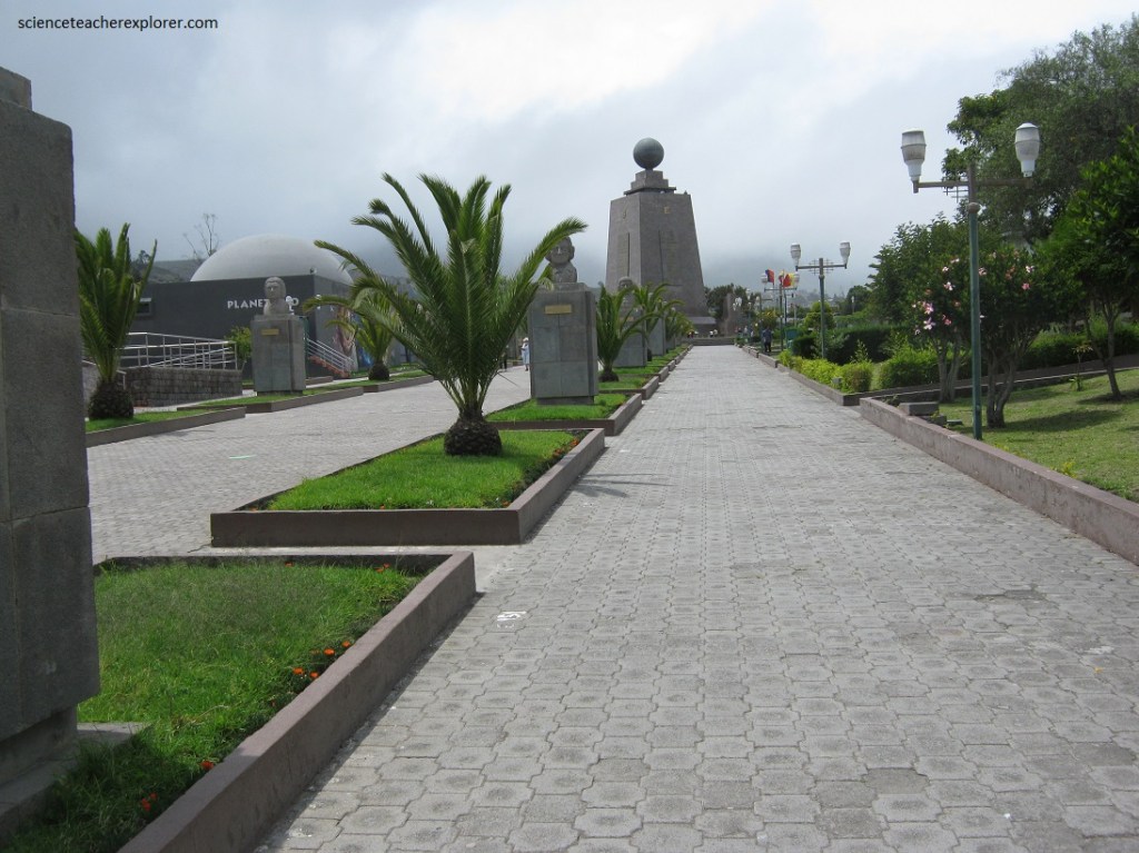
Pictured above, the 30 meter tall monument was constructed between 1979 and 1982. The monument was built to commemorate the first Geodesic Mission of the French Academy of Sciences. In the year 1736, the Geodesic Mission conducted experiments to test the flattening at the poles of the characteristic shape of the Earth, by comparing the distance between a degree meridian in the equatorial zone to another level measured in Sweden.
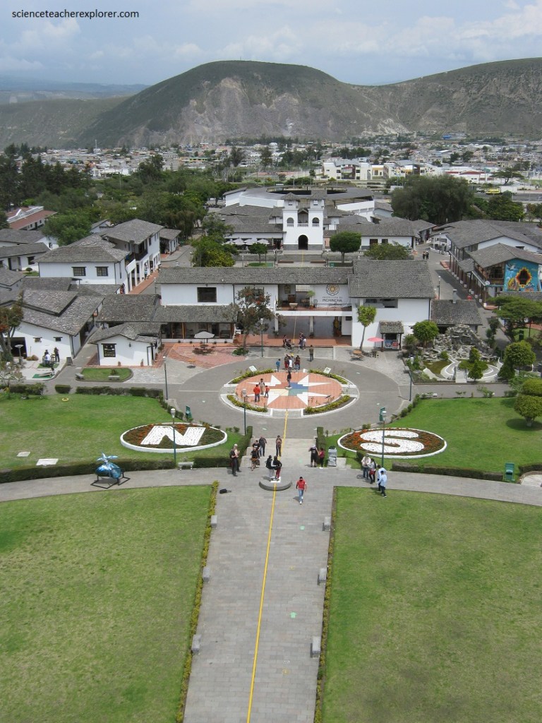
However, according to readings based on the present World Geodetic System used in modern GPS systems and GIS products, the equator actually lies about 240 meters north of the marked line (pictured below).
Pictured above, 200 meters northeast of the monument for the “Middle of the World” is a local private attraction, known as the Intinan Solar Museum, reportedly built to mark the Equator, although modern measurements suggest that it no longer does. It is still 40 m north of this point.
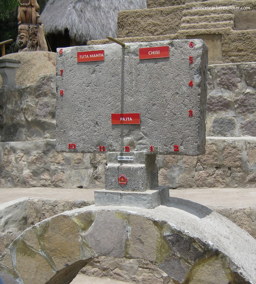
Pictured below, the Intinan Solar museum is an amusement for credulous tourists. The tour guide and visitors demonstrated tricks which are supposedly possible only on the Equator, such as water flowing both counter-clockwise or clockwise down a drain due to Coriolis effect, balancing eggs on end, or weakening of muscles due to latitude. However, after my teasing, our tour guide admitted the truth that proximity to the equator has no measurable influence.
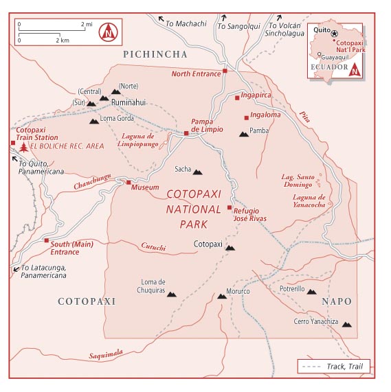
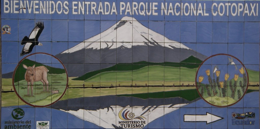
Our original goal was to explore the Cotopaxi National Park, 48 km south of Quito. The national park boundaries encompass an area of 334 square kilometers.
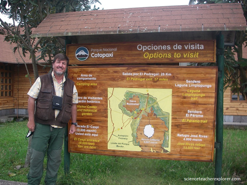
Cotopaxi is the second-highest peak in the country with a height of 19,347 feet (5,897 m). This makes it one of the highest active volcanoes in the world. It is a stratovolcano located within the Andes Mountains.
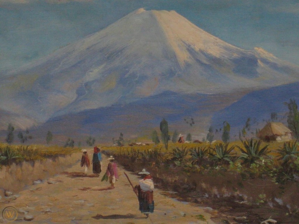
Cotopaxi Volcano is one of the best representations of a symmetrical cone shape. It is a spectacular strato-volcano that rises 3,800 m from its base. The picturesque snow-capped volcano mountain features one of the few glaciers along the equator.
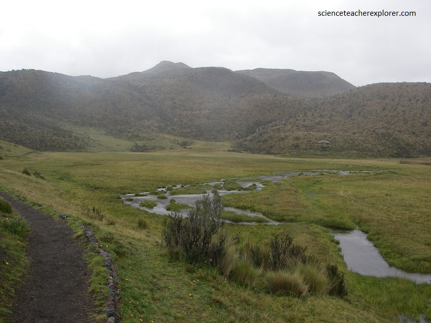
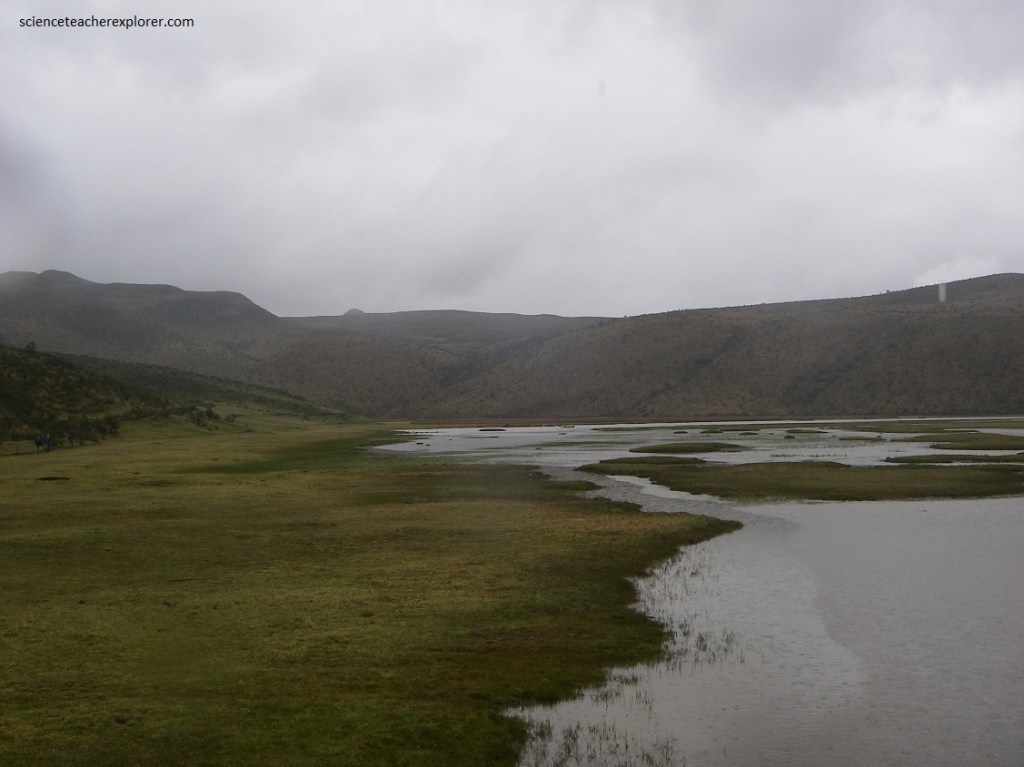
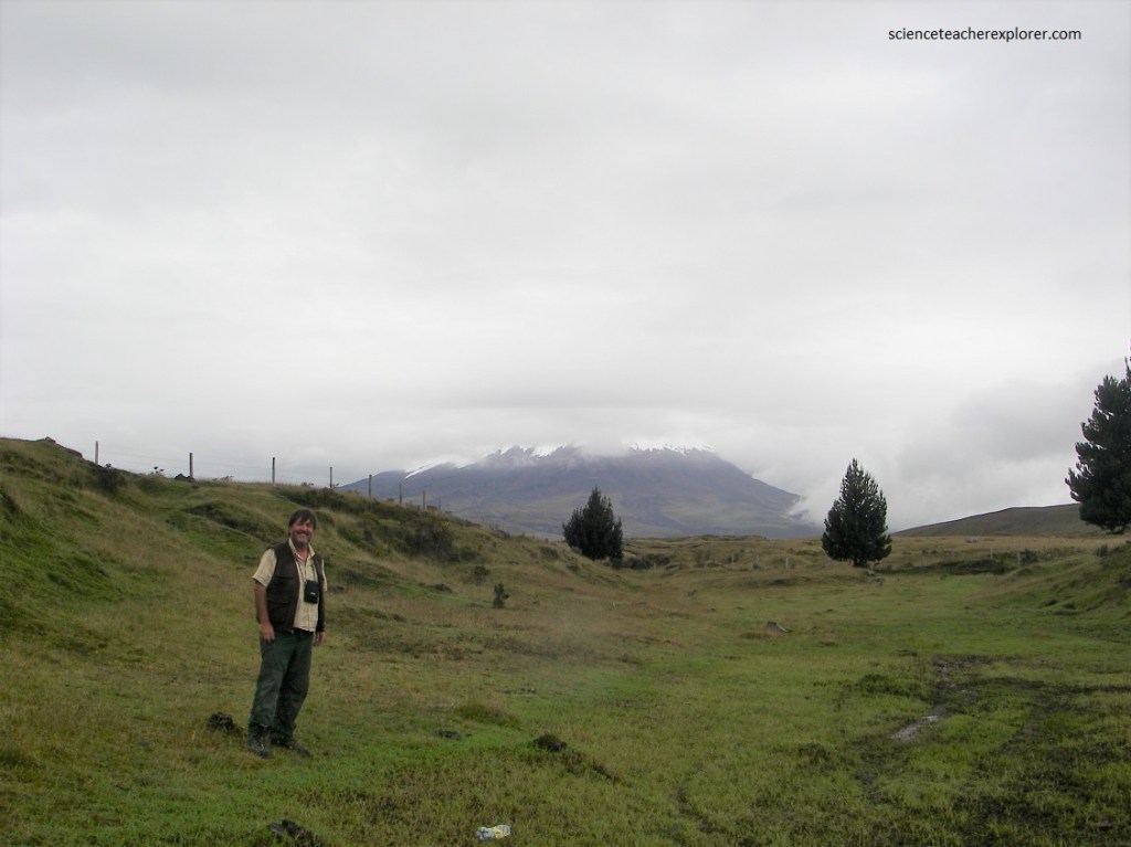
Unfortunately, the day we chose to explore the Cotopaxi National Park, was a rainy day. We struggled to see most of the Cotopaxi Volcano. The clouds seem to cover most of the snow-line on the volcano.
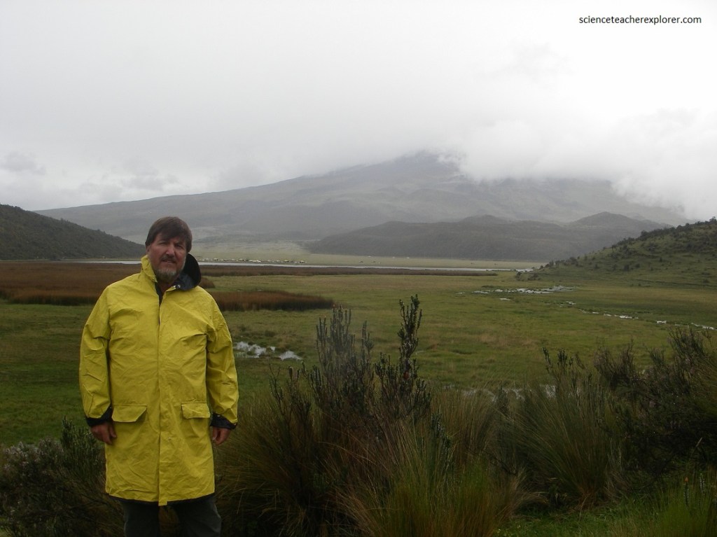
We first walked around the Laguna Limpiopungo. Laguna Limpiopungo is a seasonal lake that swells during the rainy part of the year and is home of a couple of Andean Gulls.
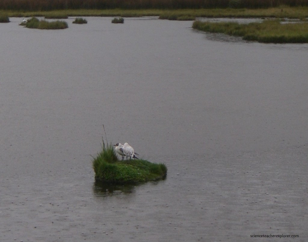
Pictured above are two Andean Gulls (Larus serranus) sharing an island on the Laguna Limpiopungo. At 45–48 cm long, the Andean gull is a large black-headed gull. The Andean Gull breeds in mountainous areas, usually at elevations of over 3,000 meters.
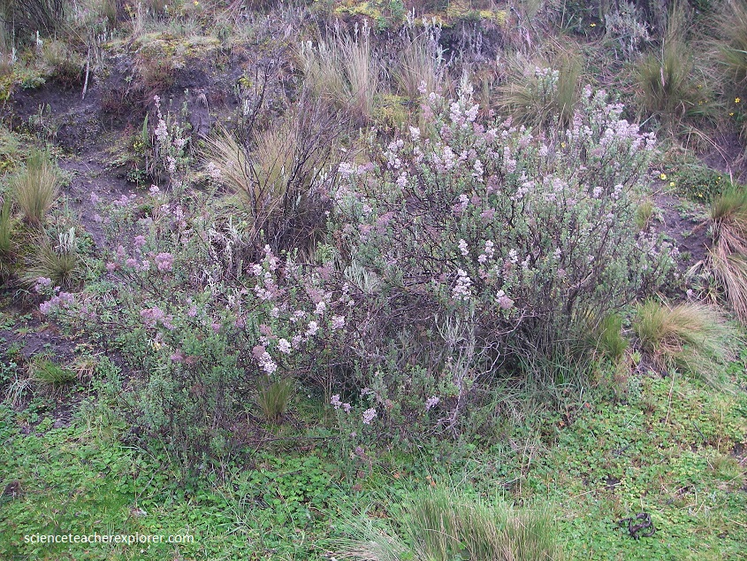
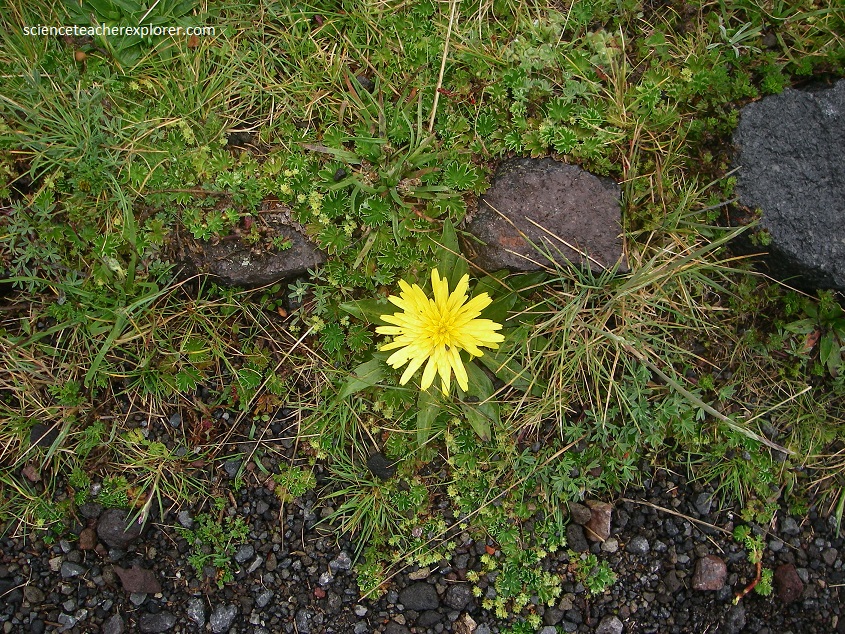
One of the reasons for visiting Cotopaxi’s Laguna-Limpiopungo was to see the paramo, (a high-altitude grassland found only in the Andes). In Ecuador, the paramo is found at elevations of 3,930 m – 4,460 m (between the upper forest line and the snow line).
The climate here is harsh (cold, windy, and with high levels of UV light), so many plants are small with low-growing flowers. As much as 60% of the plant species in the paramo are endemic, (pictured below).

In local Quechua indian tongue, the word Cotopaxi translates literally as “neck of the moon”. This unusual name comes from the crescent moon shape of Cotopaxi’s crater. For centuries Cotopaxi Volcano has been honored and revered as a sacred mountain by indigenous people, as far back as pre-Inca times. Locals shared a belief that the giant volcano was home to rain gods, who helped to keep the surrounding land fertile for their crops.
Cotopaxi Volcano certainly boasts an explosive history. Records show a total of 87 historic eruptions, with varying degrees of destruction. The nearby town of Latacunga has been completely wiped out in 1744, and then again in 1768. Even worse was to follow. In 1877, when intense thermal heat caused Cotopaxi’s ice cap to melt, the resulting lahars flowed at high velocity all the way to the Pacific Ocean 100 km away, leveling Latacunga for a third time.
Most recently, in 2015, Cotopaxi Volcano sprung into life once again. Over 2000 earth tremors were recorded, as well as ash clouds and emission of aproximately 20,000 tonnes of sulfur dioxide per day.
