Lucerne, Switzerland
On July 20th, 2017; I explored Lucerne and Engadine Mountains.
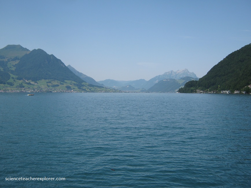
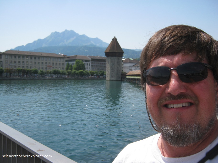
Lucerne sits below the mountains at the northwest corner of Lake Lucerne, (pictured below). Lucerne was built on both sides of the Reuss River where it drains from Lake Lucerne and the city has several bridges, including Kpaelbrucke, or the Chapel Bridge.
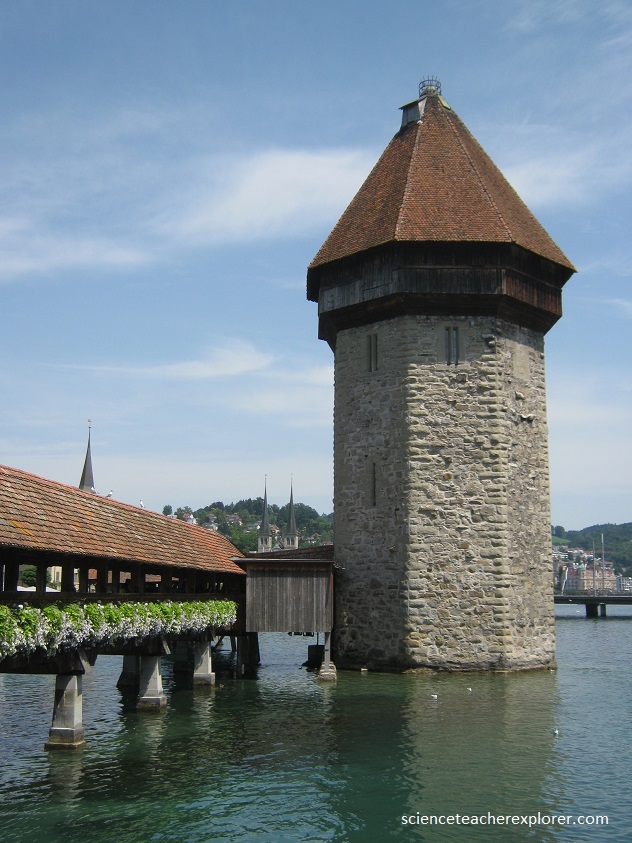
Originally built in the fourteenth century as part of the city’s defenses, Kapellbrucke is a 204 m long wooden bridge that runs past a thirteenth century fortified octagonal water tower is a striking landmark.
The Kapellbrucke is completely covered with a tiled, pitched roof supported on pillars. The water tower, or Wasserturm, built of brick with a similar tiled roof and standing 43 m above the water, has had many uses during its eighteen centuries, and treasury. The bridge itself has served as a rope factory and housed the weekly market.
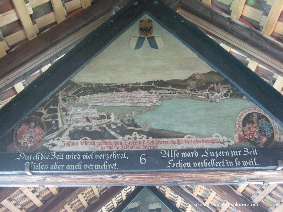
Along the length of the bridge, hung in the angles of the roof, there are 120 seventeenth century paintings on triangular panels, sponsored by wealthy citizens of the city and depicting the history of Lucerne.
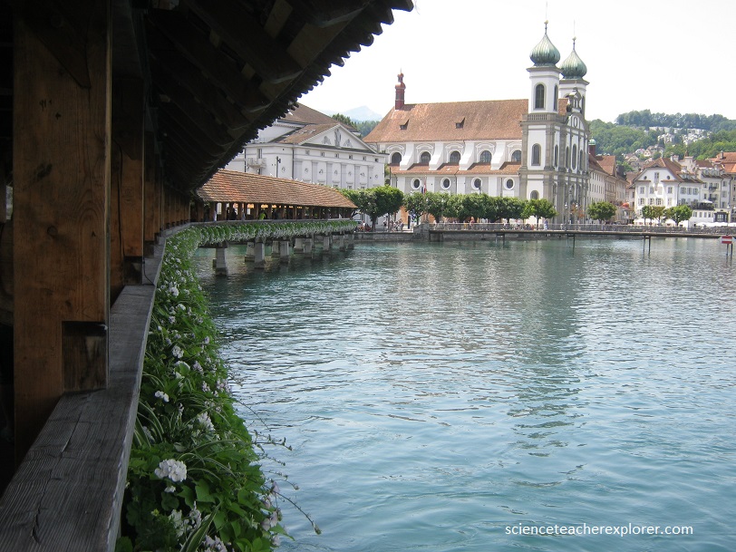
Lucerne is unique in that its three wooden pedestrian bridges, the 14th-century Hofbrücke (now destroyed) and Kapellbrücke and the 16th-century Spreuerbrücke, all are painted on the interior triangular frames, (pictured below).
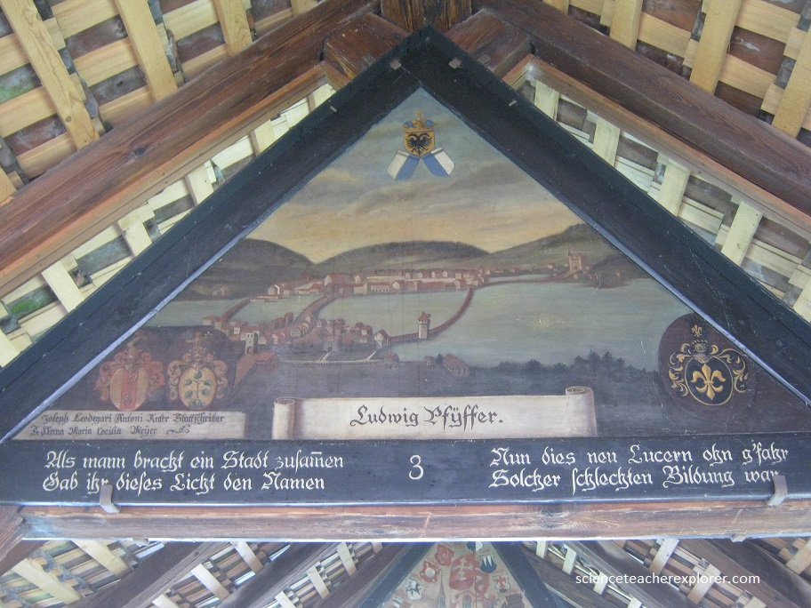
The paintings, dating back to the 17th century and executed by local Catholic painter Hans Heinrich Wägmann, depict events from Lucerne’s history. Of the original 158 paintings, 147 existed before the 1993 fire. After the fire, the remains of 47 paintings were collected, but ultimately only 30 were fully restored.
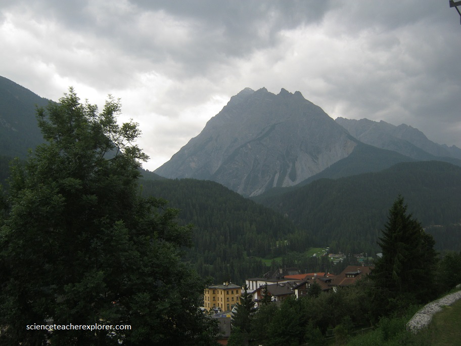
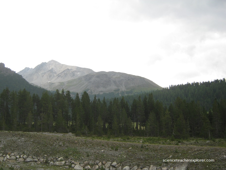
Later that day, I traveled through the Engadine Mountains, Switzerland towards Austria. In the photograph below, I’m standing in front of the near-impassible Piz Buin, the highest mountain in the Silvretta Alps. Over time, this barrier has led to the isolation of the Romansch area, which through a short distance away, has become culturally distinct from the Austrian Tyrol.
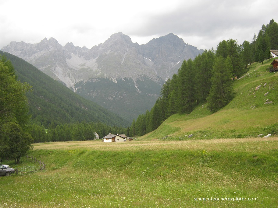
The region has many ancient villages and hamlets, glittering lakes and undulating alpine meadows which, if you look closely enough, are covered with tiny flowers.