Victoria Falls, ZW 2001
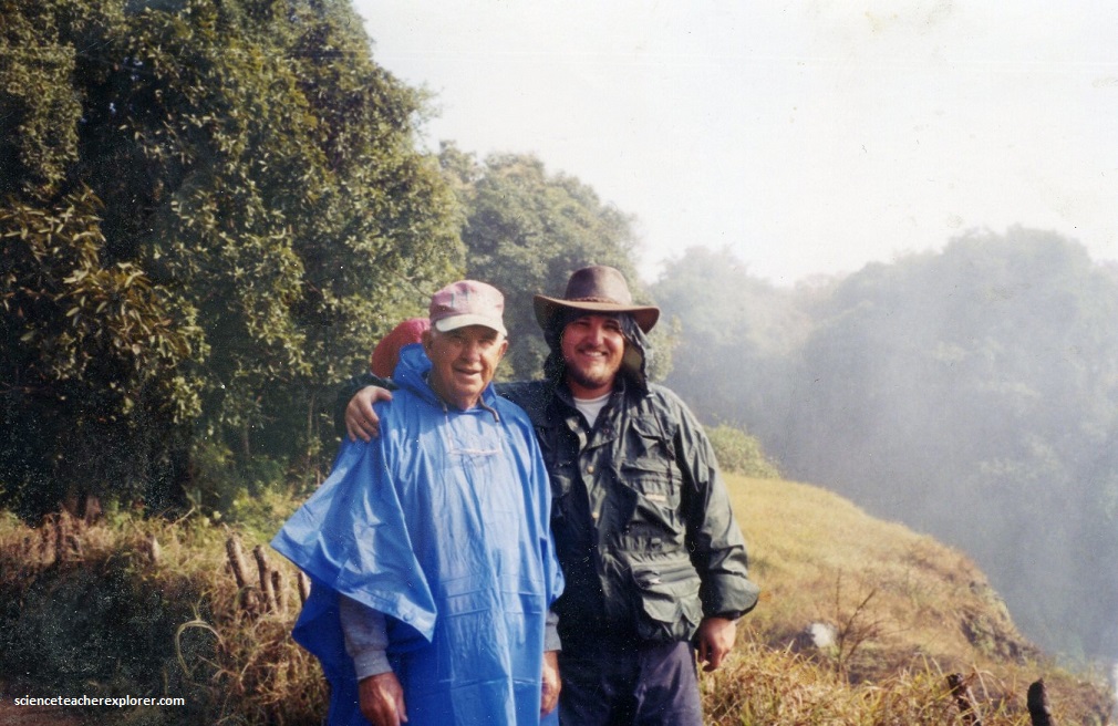
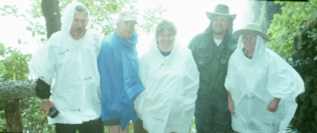
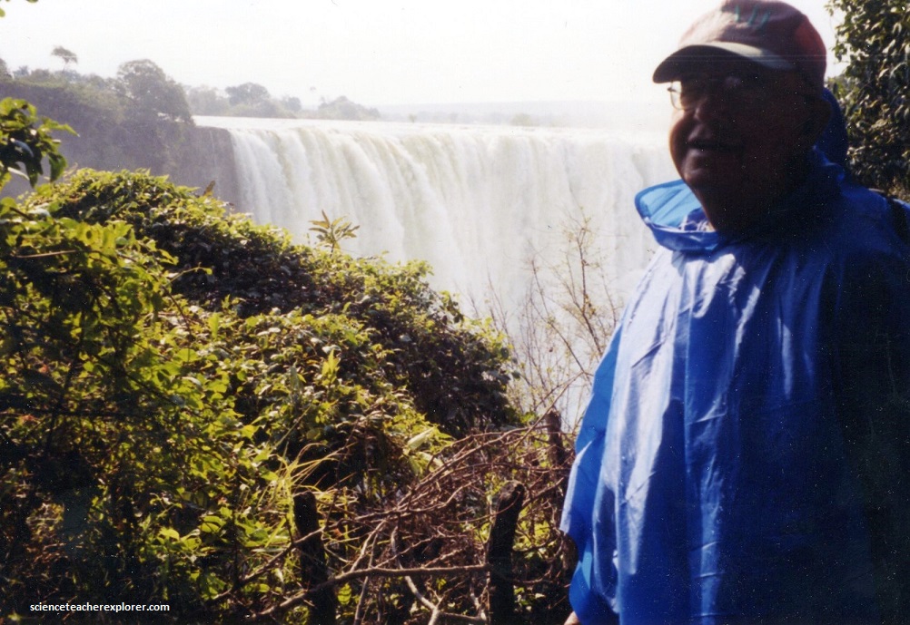
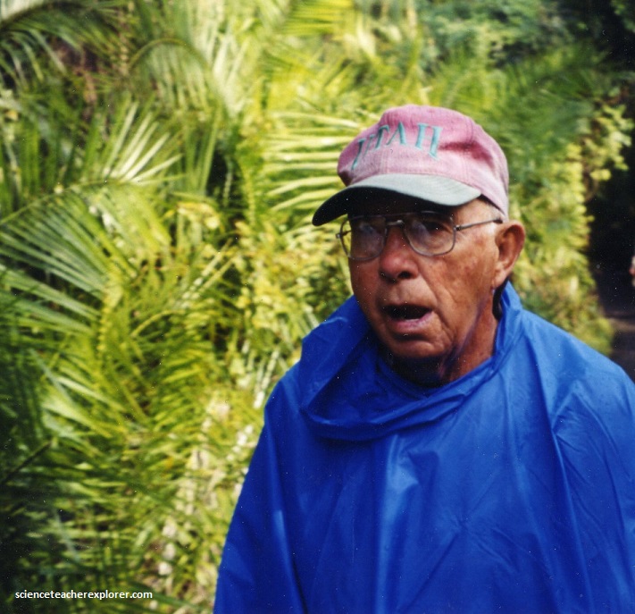
In June of 2001; I visited Victoria Falls, Zimbabwe with my father Patrick Lindsay (1926-2012) and trekking buddies from Layton High School. We were there to experience the total solar eclipse on the Zambezi River.
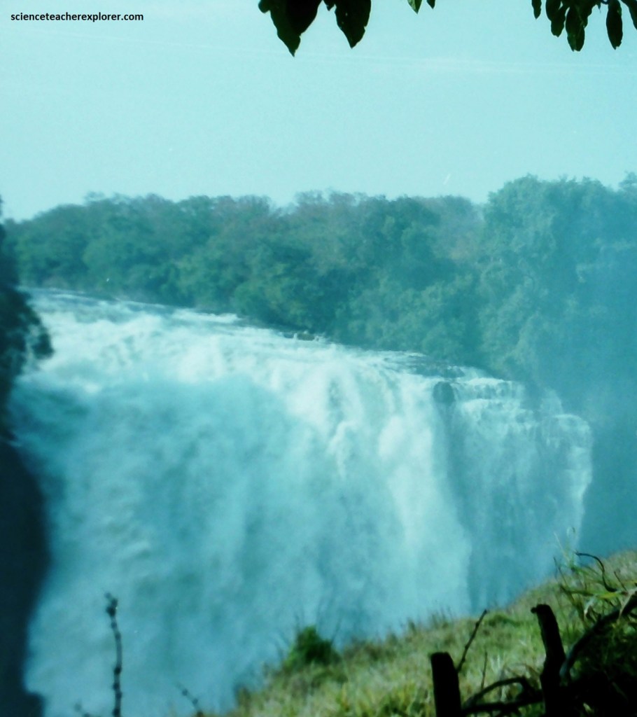
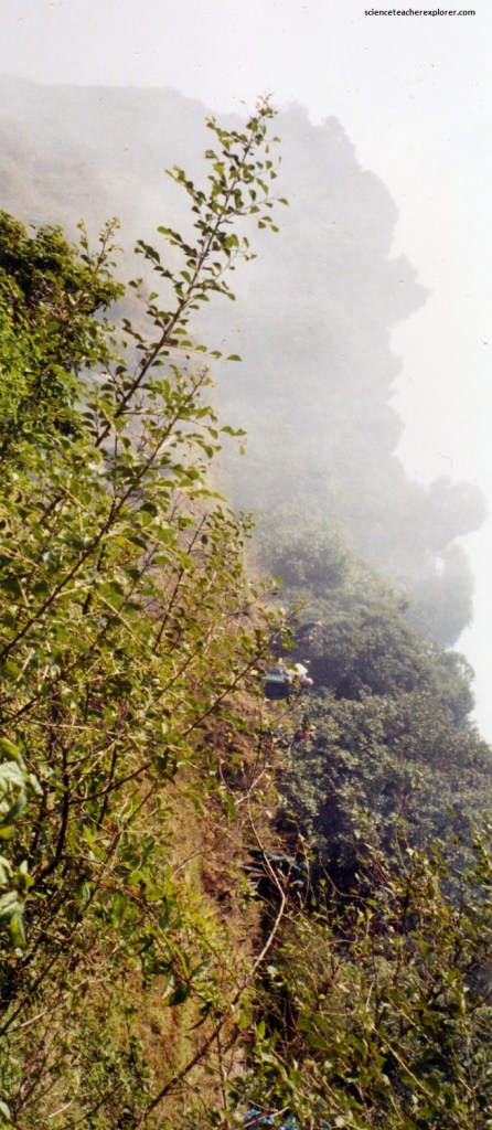
Known locally as mosi-on-tunya, meaning “the smoke that thunders,” the Victoria Falls can be seen and heard from a great distance. Plumes of mist rise 500 meters into the air and the sound of 550 million liters, (120 million gallons), of water per minute dropping 108 meters, (about twice the height of Niagara Falls), is deafening.
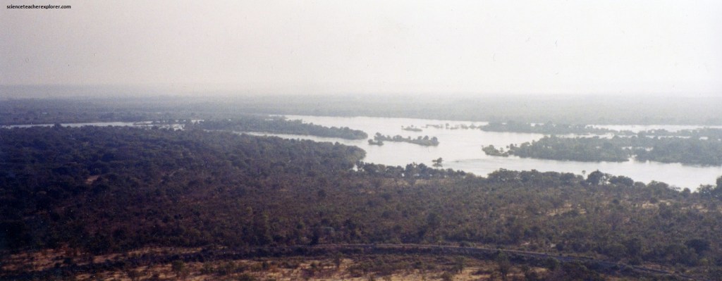
The water starts more peacefully at the at the upper reaches of the Zambezi River, but by the time it reaches the falls, it is a massive 1.6 kilometers wide and scattered with small islands. Then it plunges as a great sheet of water, (the world’s widest uninterrupted waterfall), into a deep chasm just 60 meters wide.
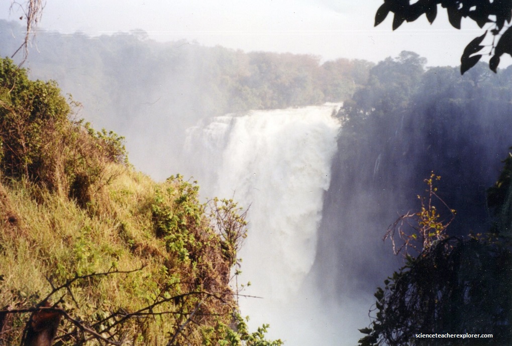
The Victoria Falls are one of the world’s most beautiful and impressive great waterfalls, formed where the 2 km wide Zambezi river drops 100 m into a long, narrow gorge.
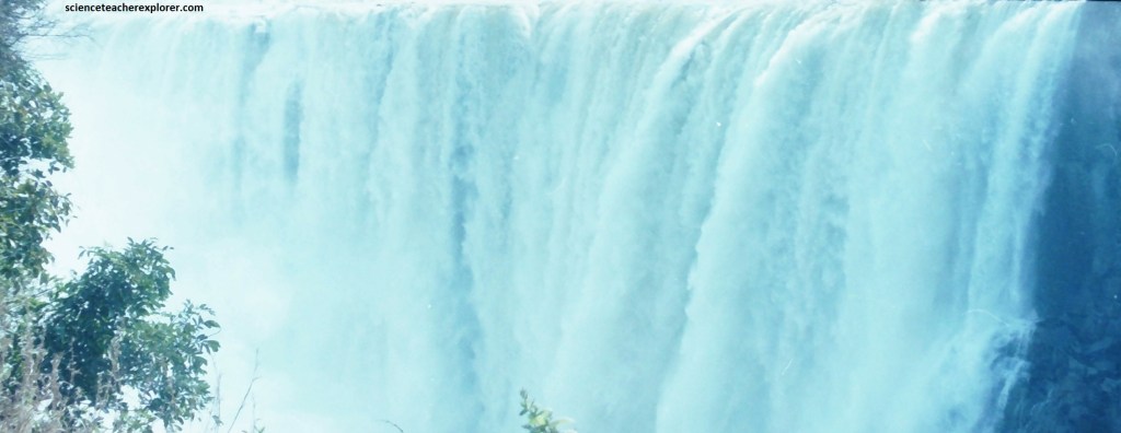
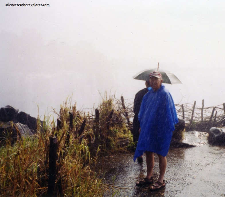
The perpetual spray is enough to sustain a small patch of rainforest in the immediate area, as well as to ensure that any visit is a wet one!
The African name ‘Mosi O’Tunya’ translates to ‘the smoke that thunders’.
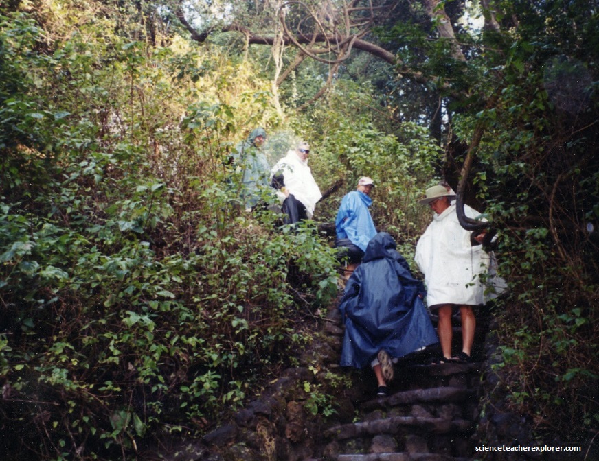
The rainbows formed by the mist are very unusual indeed, especially the double (and sometimes even triple!) rainbows seen in the early morning from danger point and the ethereal lunar rainbow, best a few hours after moonrise.
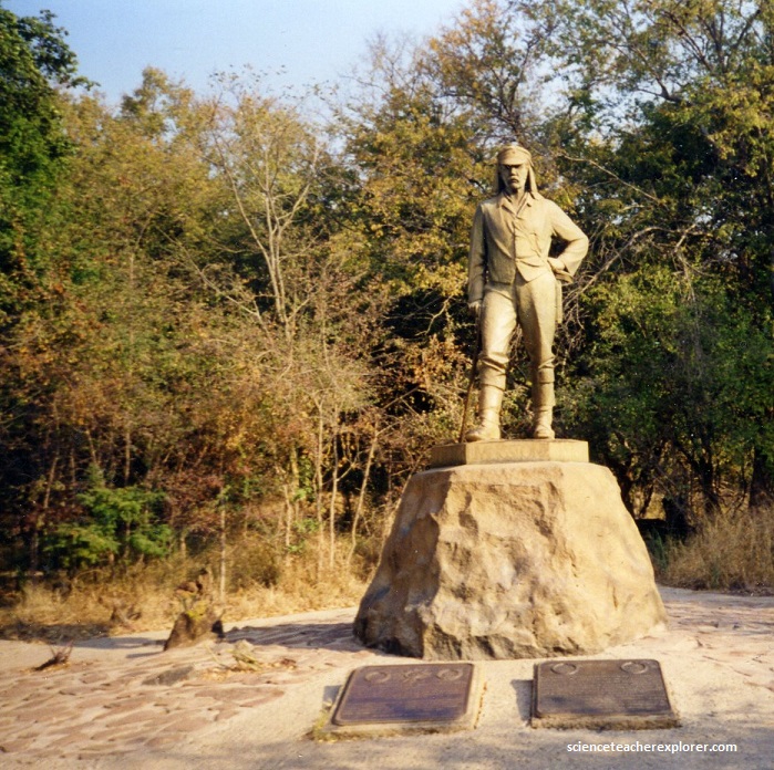
The Scottish missionary, Dr. David Livingstone, first saw the Victoria Falls in 1855 when exploring the Zambezi, (and exploring for the headwaters of the Nile River). In a canoe, approaching from upstream, he and his party saw the clouds of spray in the distance and wisely landed on an island at the edge of the waterfall. They crept to the edge of the chasm and were astonished to see this huge river simply disappear into a crack in the Earth. He named the falls after Queen Victoria, (pictured below).
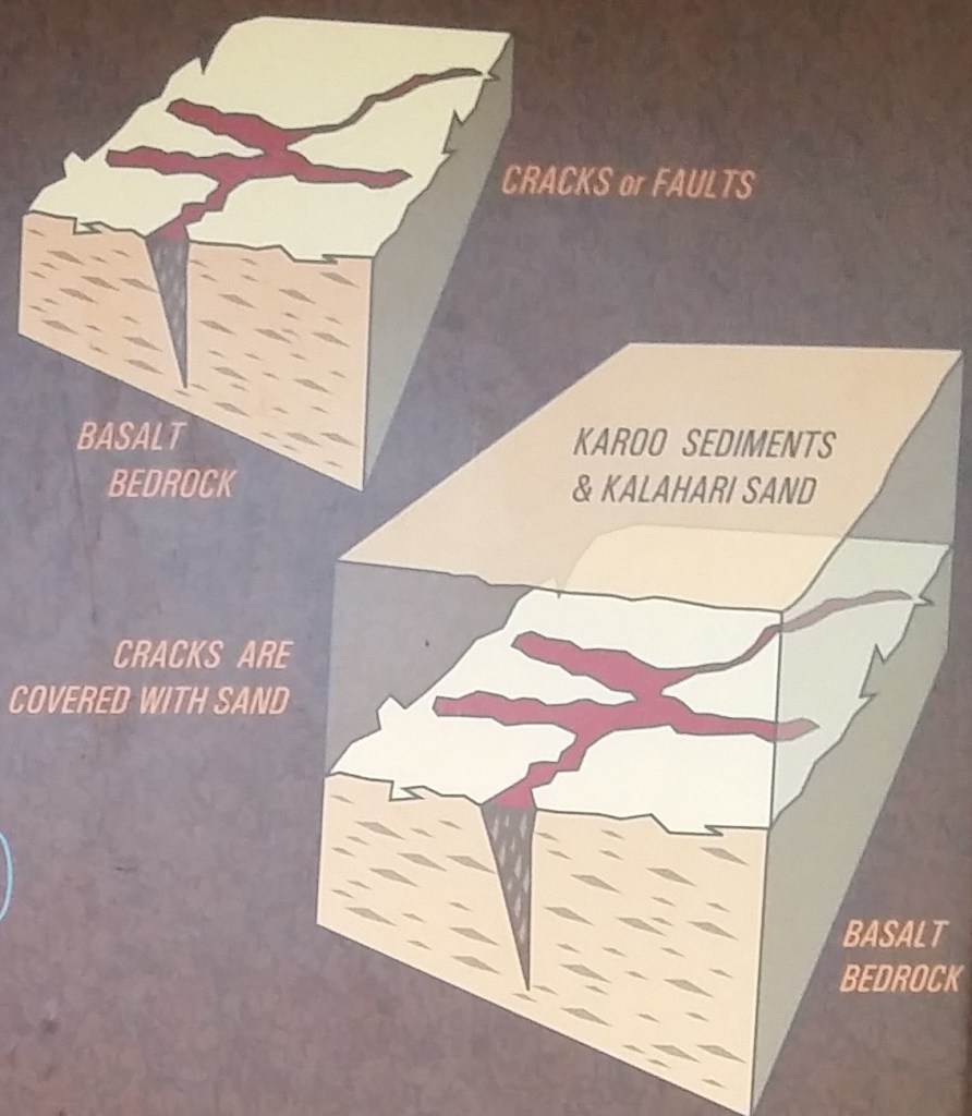
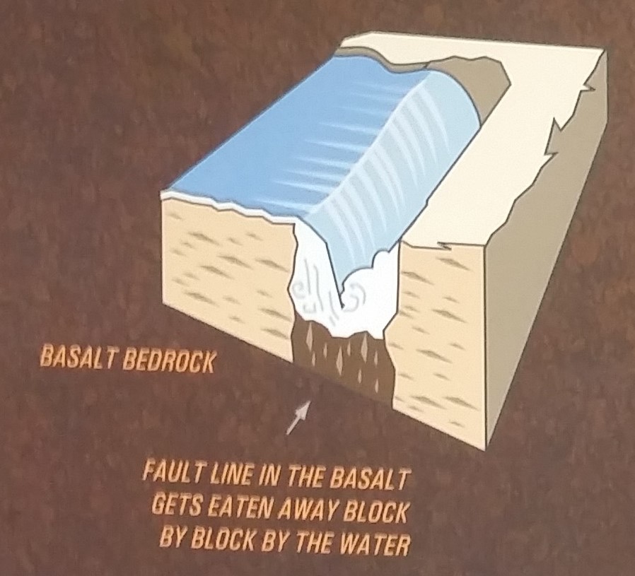
The rocks around Victoria Falls were formed from a great sheet of basaltic lava over 150 million years ago. When this lava cooled and solidified, it contracted and cracked (faulted) in the area of Victoria Falls. In time this mass of broken rock covered over with deposits from the Karoo System and later the Kalahari System and so preserved for millions of years (imaged below).
5 million years ago there was a geological shift that caused an uplift in the area of central Botswana. This blocked the course of the Upper Zambezi, which had been flowing south to join with the Limpopo River, and created a paleolake, the remnants of which, today form the Makgadikgadi Salt Pans (pictured below).
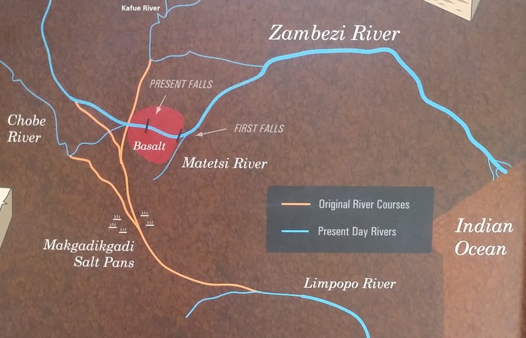
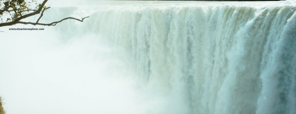
When this lake finally overflowed into the Matesi River it quickly carried away the deposits that had been covering the basalt and then began to remove the broken rock one block at a time, from within the cracks or faults mentioned above. Basalt is a very dense, hard rock that resists erosion so the river removes it one block at a time rather than a grain at a time, as would happen with a softer rock. This explains why the gorge, and event the face of the waterfall itself, is not a smooth, water worn surface but retains a rough hewn appearance, (pictured below).
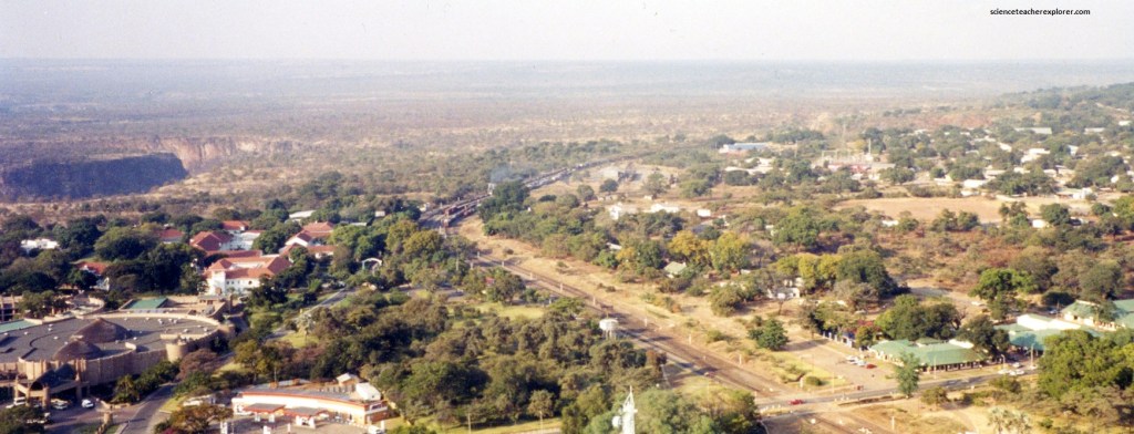
There have been 8 previous sites of the waterfall in the Victoria Falls area created as the river worked its way back upstream, from fault line to fault line. These are clearly visible when viewed when viewed from the air.
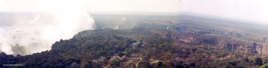
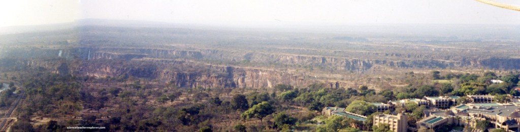
Scientists believe that the next line of the Falls will originate from the area around the Devils Cataract, (either from the Cataract itself or from the cleft that runs through Cataract Island). This new site of the Falls will run diagonally back across the river but it will take another 10,000 years to excavate the full length of this new fault line. This is such a slow process that the change from one year to the next is indiscernible, (pictured below).
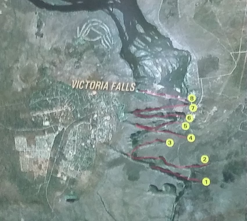
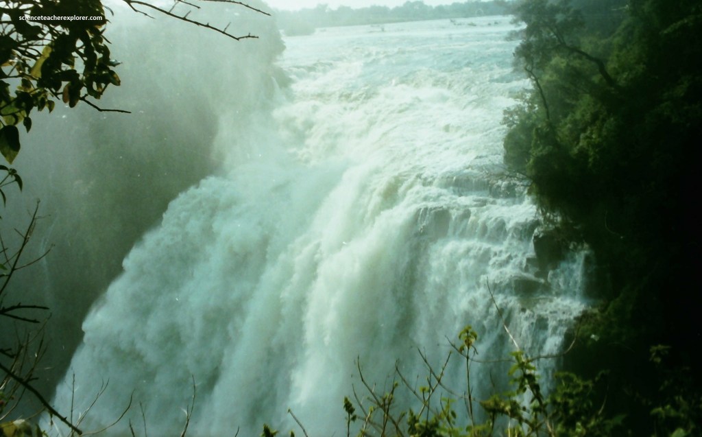
As seen above, the entire volume of the Zambezi River pours through the First Gorge’s 110-meter-wide exit for a distance of about 150 meters, then enters a zigzagging series of gorges designated by the order in which the river reaches them. Water entering the “Second Gorge”, (marked 7 above), makes a sharp right turn and has carved out a deep pool there called the “Boiling Pot”.
The falls are formed where the full width of the river plummets in a single vertical drop into a transverse chasm 1,708 meters wide, carved by its waters along a fracture zone in the basalt plateau.
The depth of the chasm, called the “First Gorge”, varies from 80 meters at its western end to 108 meters in the center. The only outlet to the First Gorge is a 110-meter-wide gap about two-thirds of the way across the width of the falls from the western end. The whole volume of the river pours into the Victoria Falls gorges from this narrow cleft.
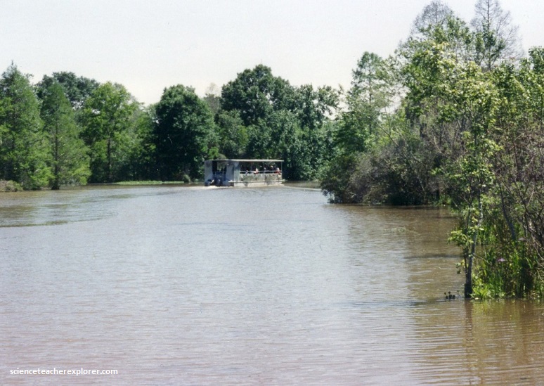
The tranquil lagoons upstream are home to hippos and crocodiles. Our group took a river-sunset-cruise to view the wildlife up-close, (pictured below).
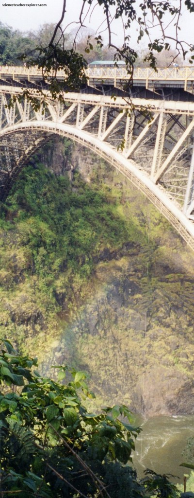
Pictured below, the Victoria Falls Bridge crosses the Zambezi River just below the Victoria Falls and is built over the Second Gorge of the falls. As the river forms the border between Zimbabwe and Zambia, the bridge links the two countries and has border posts on the approaches to both ends, at the towns of Victoria Falls, Zimbabwe and Livingstone, Zambia. Constructed from steel, the bridge is 198 meters long, with a main arch spanning 156.50 meters, at a height of 128 meters, above the lower water mark of the river in the gorge below. It carried a road, railway and footway in 2001.
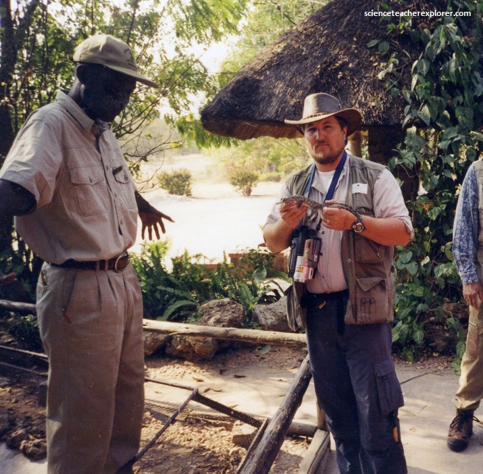
After exploring the falls in the morning, we proceeded as a group to the Victoria Falls Crocodile Farm. The original crocodile ranch was set up in the 1950s in response to the declining crocodile population of the Zambezi.
The video below was our educational introduction to the crocodile farm.
The Zimbabwe government granted a license to the original Crocodile Ranch to collect 2500 eggs a year from the river to raise crocs for commercial purposes. In return, it is obliged to return 125 three-year-old crocs into the river to keep the natural population sustainable.
The crocodile seen in the Zambezi is the Nile crocodile (Crocodylus niloticus) one of four species found in Africa. It can easily weigh up to a ton and may live up to 100 years. Crocs inhabit the Zambezi above the Falls, feeding mostly on fish, but also on game coming to drink. Forty percent of the crocodile’s body consists of its tail, which in many ways is its secret weapon, aiding and abetting its ferocious teeth. The crocodile uses its tail to balance itself when swimming.
The video above shows one of the periodic crocodile feedings when large crocs leap out of the water, snapping at big chunks of meat.
Crocodiles are ancient. Their fossil record begins in the early Jurassic. It is almost unbelievable to think that, for the past 200 million years, through the changes that our planet has gone through, crocodiles have been a consistent feature in riverine habitats. They have even survived at least one major planetary extinction, which wiped out the dinosaurs 65 million years ago. One of the reasons they’ve survived so long is that they are incredibly diligent parents.
For up to 90 days, the female crocodile goes without food, guarding the nest. The male crocodile, or any other crocs for that matter, are kept away. Then the hatchlings begin squealing in their eggs, at which point the mother breaks the shell open and carries them to water, where she washes and releases them. She demarcates a “crèche” for the young crocs where they remain for six to eight weeks. Crocs reach sexual maturity only at 12 years.
After the Sunset Cruise on the Zambezi, we ate and stayed at the world famous Ilala Lodge. It happen to be a night of celebration for a nearby Kololo-Tribal Chief. While eating a buffet of local dishes, our group was entertained by a small group of singers and dancers of a local tribe. The two videos below show their extreme musical skills. We were honored to be a mark for their talent.
Victoria Falls presented a spectacular sight of awe-inspiring beauty and grandeur on the Zambezi River. The wide, basaltic cliff over which the falls thundered, transformed the Zambezi from a placid river into a ferocious torrent cutting through a series of dramatic gorges. The path along the edge of the forest provided us of a way to brave the tremendous spray, with an unparalleled series of views of the Falls. This world-class site was a place to remember.