Yadan N.P. China 2008
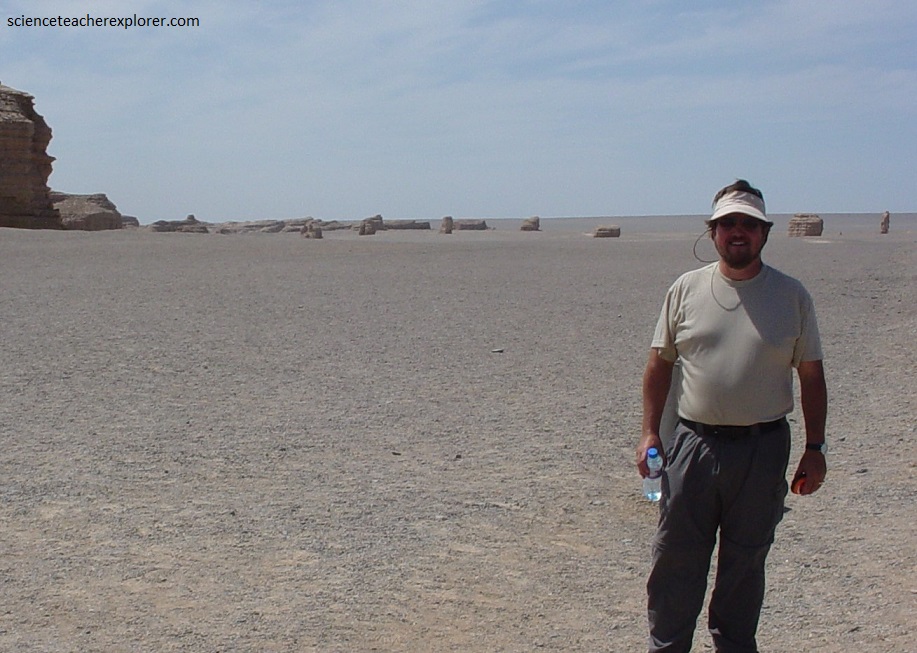
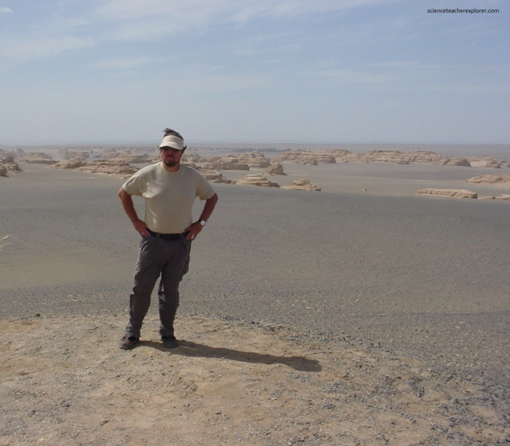
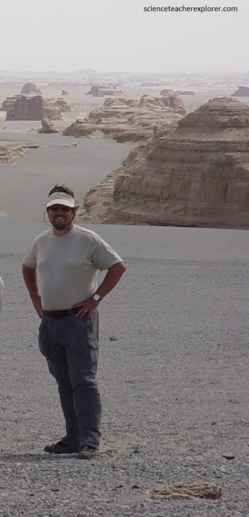
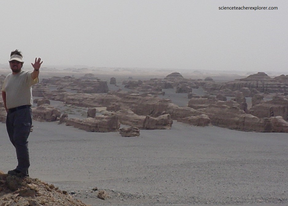
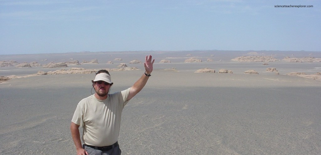
While trekking the Northwestern China, I found myself exploring part of the Taklimaken Desert called the Yadan Geological National Park. This area was the primary location to study of the Yardang.
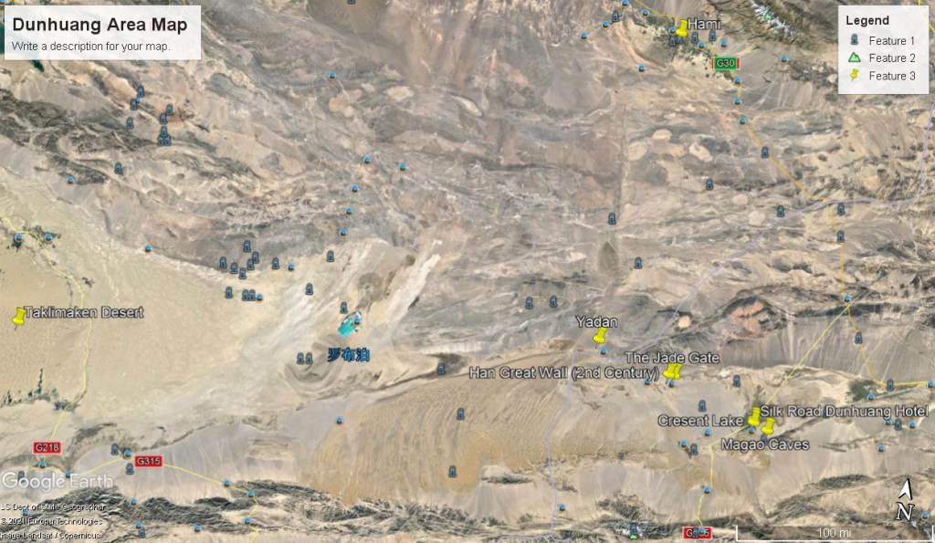
The Yadan National Geologic Park is located about 180-kilometer northwest of Dunhuang City and on the edge of Lop Nor (sea of death). Yadan National Geological Park occupies an area of about 398 square kilometers and is the largest group of Yardangs ever found so far. All kinds of strange sounds can be heard when a storm is coming, so it is also called “Devil Town”.
The unique rock formations in the park developed over a period of 700,000 years. The Yardang geomorphic formations found in the Dunhuang Yadan National Geopark are the largest in China.
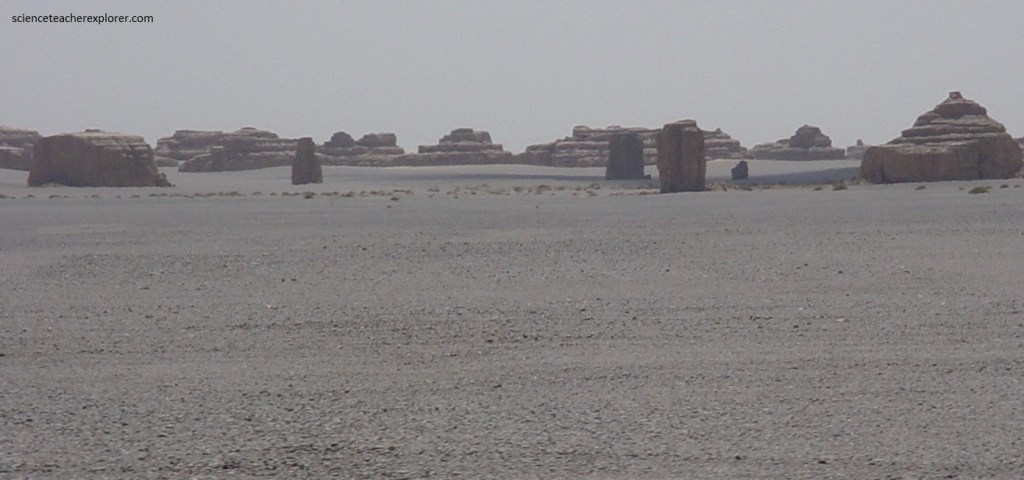
The Yardang is an elongated erosional landform, commonly found in deserts, resembling the hull of an inverted boat. Similar to sand dunes, yardangs typically have a tall, steep side facing the prevailing wind direction and slope gently down away from the wind.
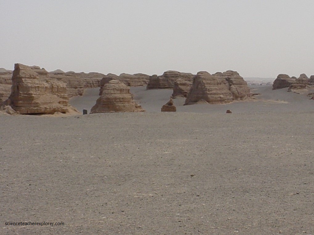
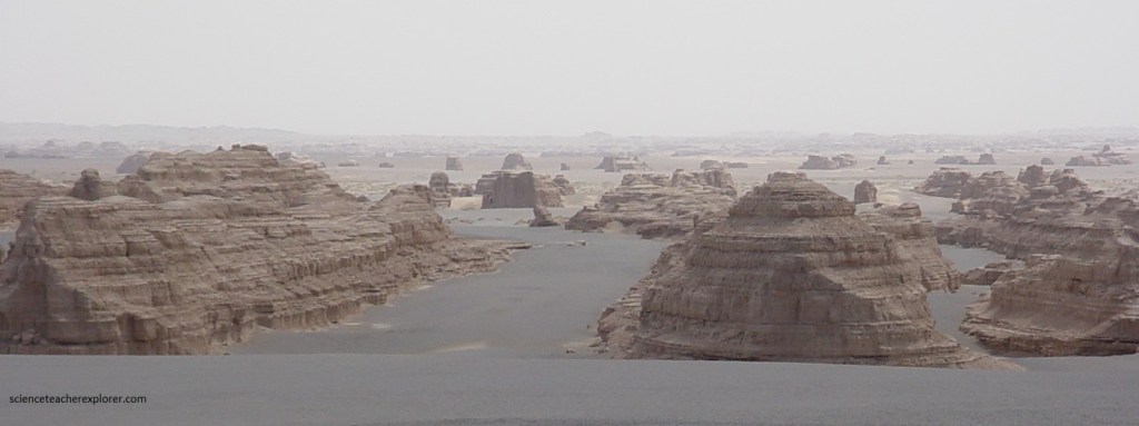
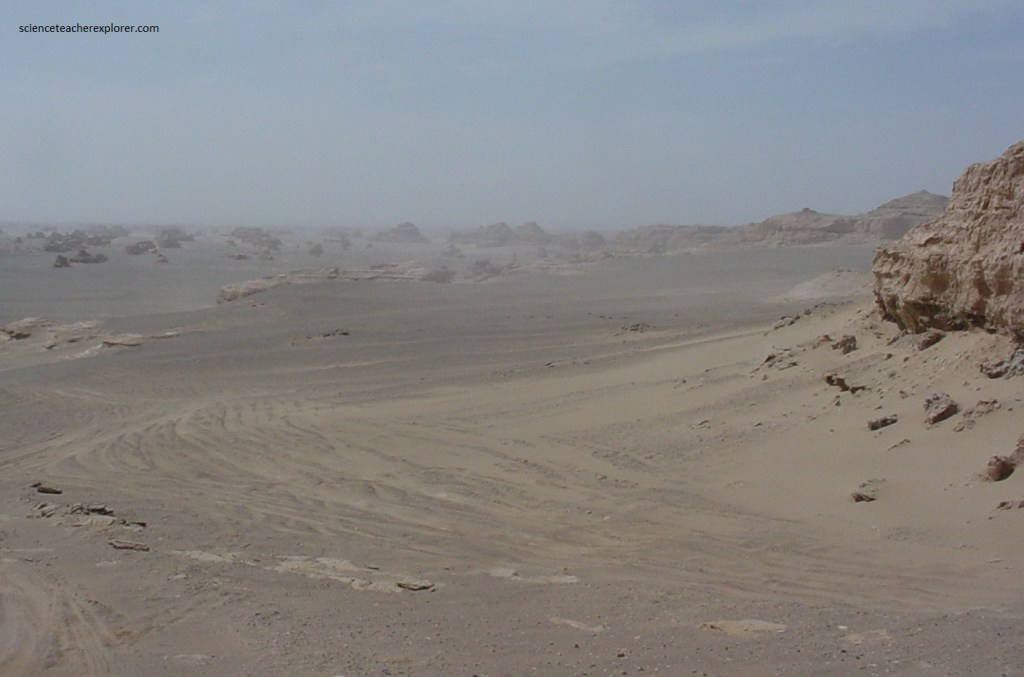
Pictured above, Yardangs are formed when looser material is eroded away (primarily by the wind and particle abrasion), leaving behind more consolidated material that is then sculpted into strange, ship-like shapes by further erosion. What is different from Yardan landforms than other places is that the Yardan landform of Dunhuang is in the boundless desert, and the color of the desert is not the intoxicating golden color but dark green color, as if what is lying before your eyes is a boundless sea (pictured below).
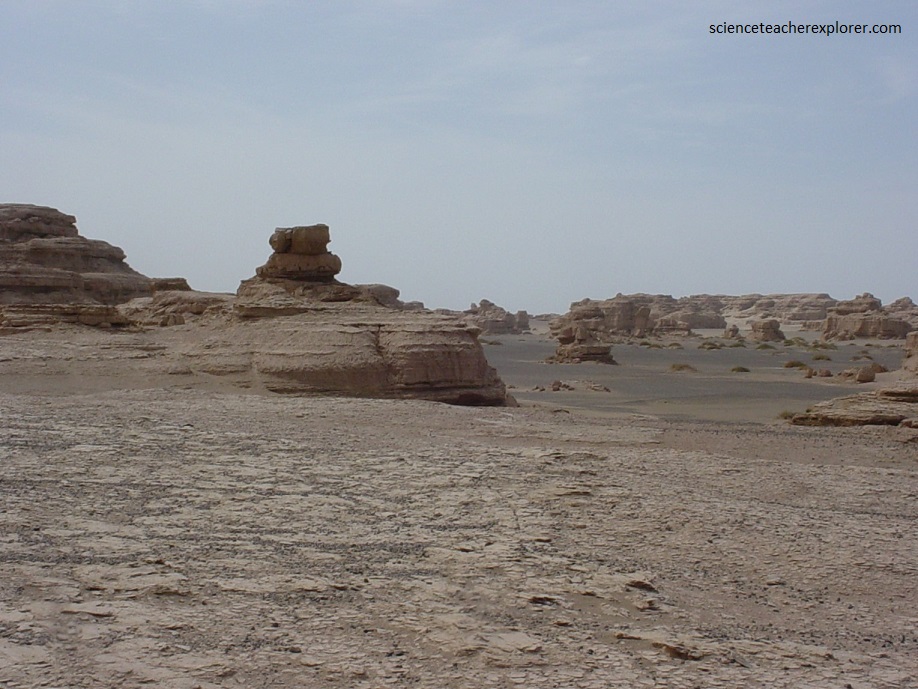
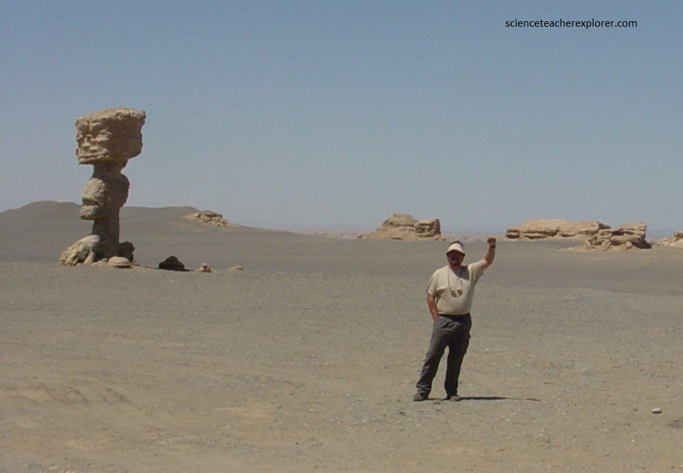
Pictured here, the Yardangs are formed in the softer siltstone and sandstone where the wind was the primary erosional force.
The word Yardang is of Turkish origin coming from the word “yar” which means “steep bank or precipice.” According to the Oxford English Dictionary, the word Yardang was first introduced to the English language in 1904 by the Swedish explorer Sven Anders Hendin. He was the first western explorer to map the Taklimaken Desert and successfully returned to report that he found 3 buried cities in the massive sand-dunes. In other words, he was the first European to explore this area. The locals called him the “White Devil”. He was one of my historical-heroes.
The Yardongs cluster together in a slight depression in the landscape, in all likelihood an old lake bed in which their clay and siltstone were deposited. The lake dried up as the climate changed, bringing with it the desert, the sand, and the wind. And the sand and the wind conspired as a great sculptor, sand-blasting the softest sediment, liberating the rough forms of the harder rock.
The abrasional power of the sand is greatest within a meter or so of the ground, the height of flying grains in a sandstorm limited by the physics.
The sculpting takes place in the face of the prevailing wind, the face of the rock heading into the wind receiving the fiercest blasting, eddies and the slipstream chipping away in its lee. So these things explain some of the forms of the Yardangs – the front face undercut to the maximum height of the strongest sandblast, leaving the “head” above.
Pictured above, the Yardangs are draped in the debris of their deterioration, and drifts of sand pile up against their flanks. But they are simply the inevitable result of aeolian processes – they are all facing the same way because they are facing into the prevailing wind, their shapes are determined by the interplay between the physics of flying sand and the varying resistance of the rocks that are in its way.
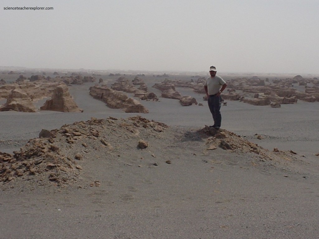
The Yardangs have their mysteries. Why are they spaced out the way they are? Why is the slope and curve of their “backs” so remarkably uniform? Regardless of the geo-weirdness, a herd of Yardangs is simply weird in its own right, making for a distinctly weird landscape, (pictured below).
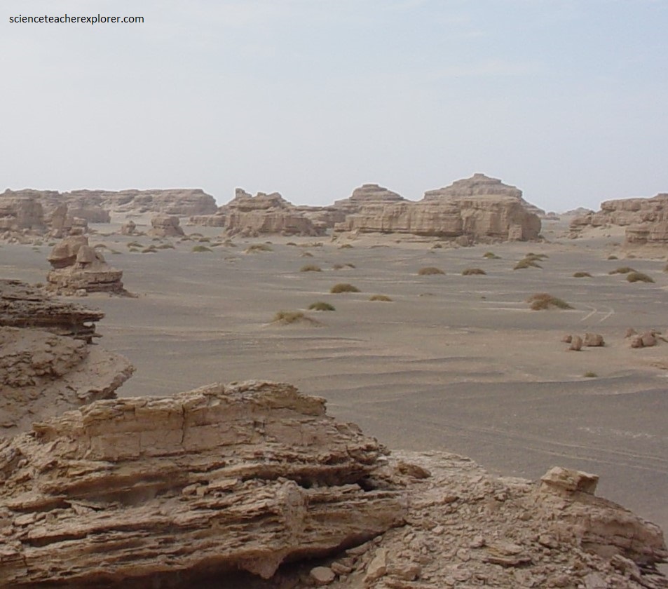
Additionally, most of the Yardangs are distributed in the northwestern and central eastern parts, with dominant orientations northwest to north-northeast and approximately west to east, respectively. They seem to form in parallel lanes.

Based on their morphologies and distributions, Yardangs within the Yadan National Park have been classified into 11 different types out of four main groups. Wind is the dominant driver of Yardang erosion, but water, salt, and mass wasting may also have played important roles in their formation and modification.
A four-step evolution model, including embryonic, adolescent, mature, and receding stages, has been proposed by scientists to reveal their formation and evolution in the Yadan Basin.
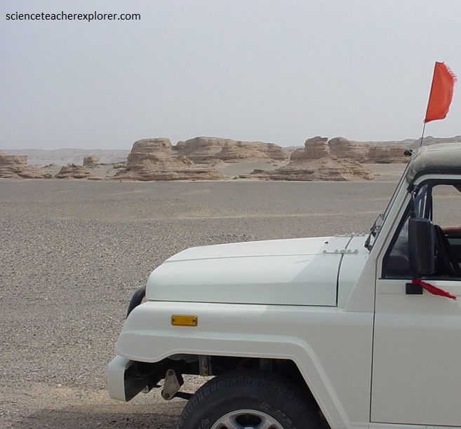
On our way out to the Yadan N.P., my trekking group visited the Dunhuang Movie Set.
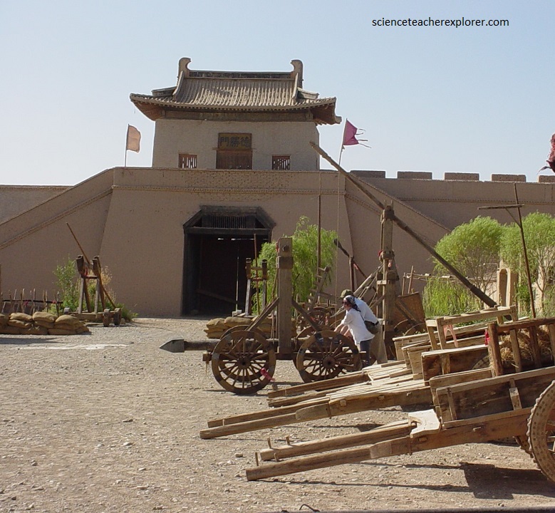
The Dunhuang Movie Set, also known as Modeled Shazhou Town of Song Dynasty (960-1279), is about 25 kilometers southwest of the Dunhuang city.
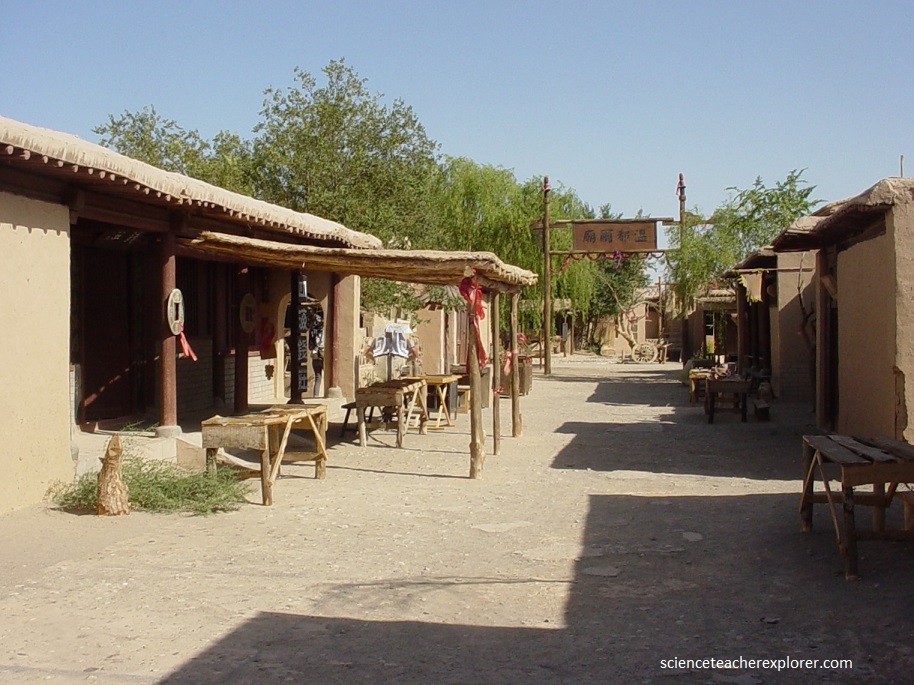
The Dunhuang Movie set town, covering an area of 12,700 square meters, was originally designed for the setting of the historical film in Dunhuang during 1987. The film was made in cooperation with Japan and the set reproduced the layout and construction on a part of the famous scroll painting Qingming Shanghe Tu (The Outing at Bian River on Qingming Festival).
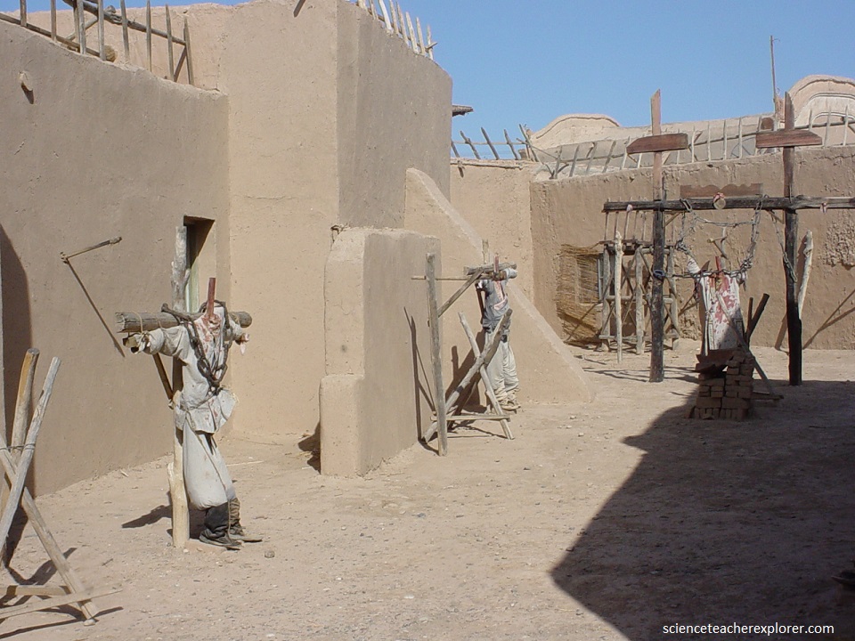
The Dunhuang Movie Set presents its majestic appearance in the vast Gobi Desert, bearing a rich flavor of the west regions of China.
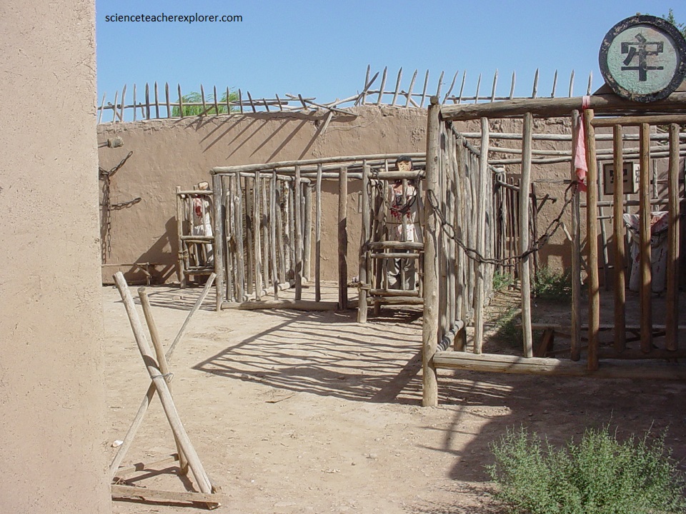
The Dunhuang Movie Set fully represents the military importance of the western regions in the Tang (618-907) and Song Dynasties. The complex here can give one an impression that the clock has turned backwards to ancient times.
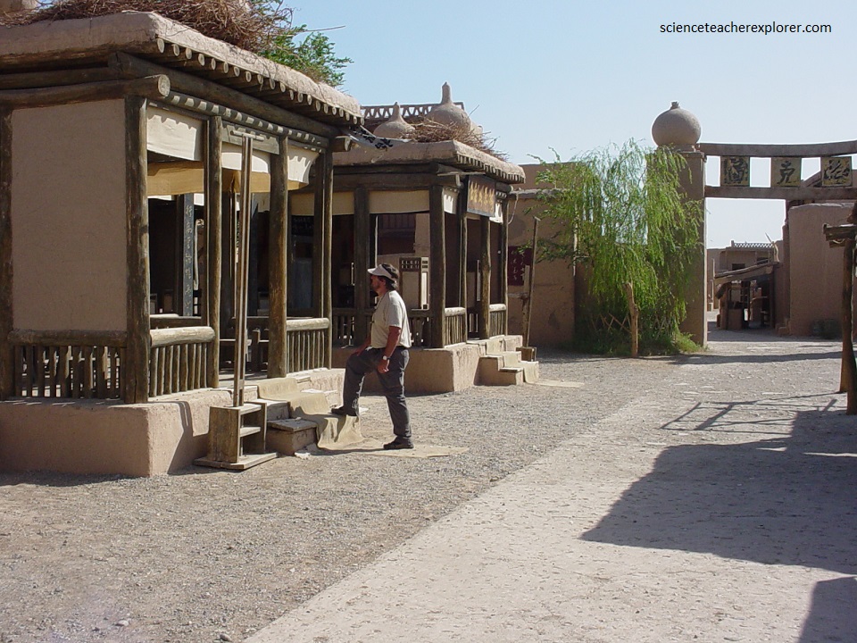
The gates are erected on the east, south and west sides of the town. The five main streets, namely the Gaochang, Dunhuang, Ganzhou, Xingqing and Bianliang, criss-cross each other inside the town. Various constructions with distinct characteristics of the Song Dynasty are scattered along the streets, housing arcades, temples, hockshops, warehouses, pothouses, restaurants, dwelling houses and so on.
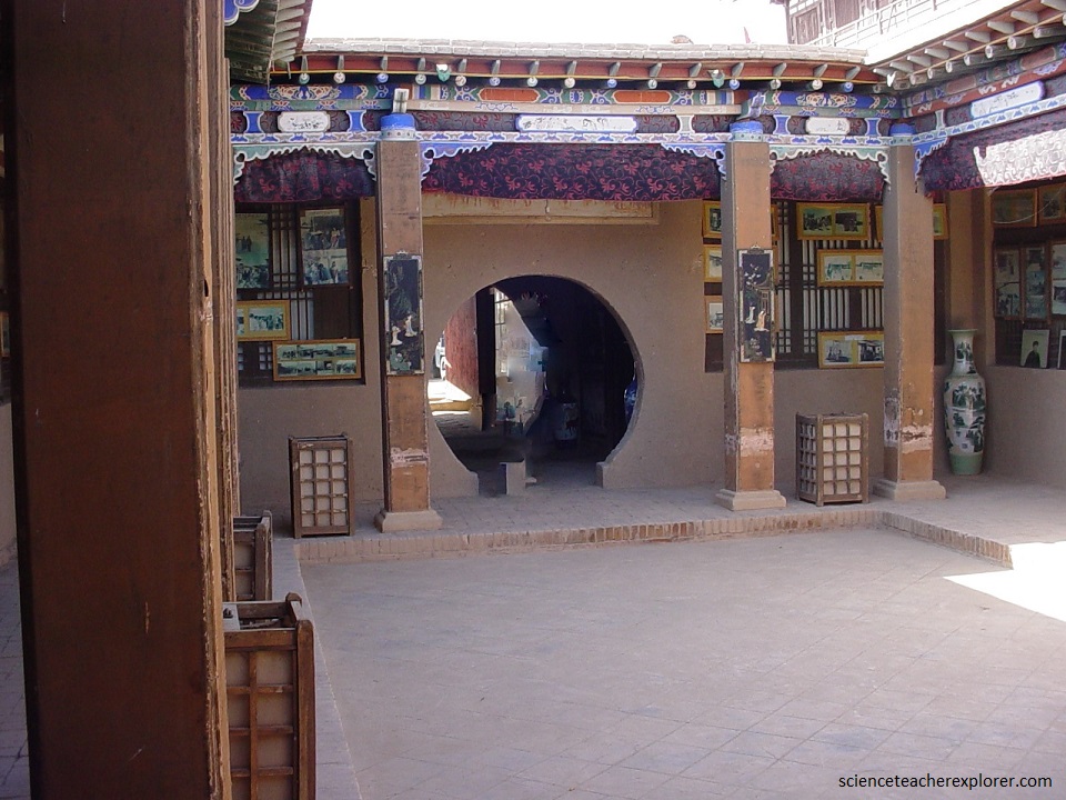
Taking full advantage of its uniqueness for making movies with a military theme, Dunhuang Movie Set has become the biggest set for shooting movies in northwest China. More than twenty films and television series have been produced here, apart from the movie Dunhuang so far.