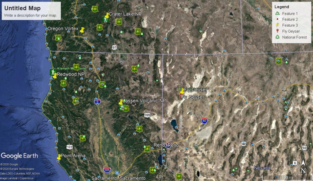
Lassen Volcanic NP, CA
Becky (my wife) and I were on our way to Point Arena, Northern California for vacation when we drove through Lassen Volcanic National Park, California in August of 2013. It was roughly 40 km from between the entrances and took about an hour with no stops.
Lassen National Park was made a National Park by Theodore Roosevelt in 1907. But in 1914, the largest peak in the park, 3500 m Mt. Lassen blew up. The eruption blew ash up to 10,000 m in the air, threw house-sized boulders miles away, and devastated a vast forest, killing four times as many trees (by volume) as Mt. St. Helens. Today, the volcano lies dormant, and Lassen is the place to go to see what a landscape looks like a century years after a volcano erupts. That includes boiling steam vents and pools – and a geyser.
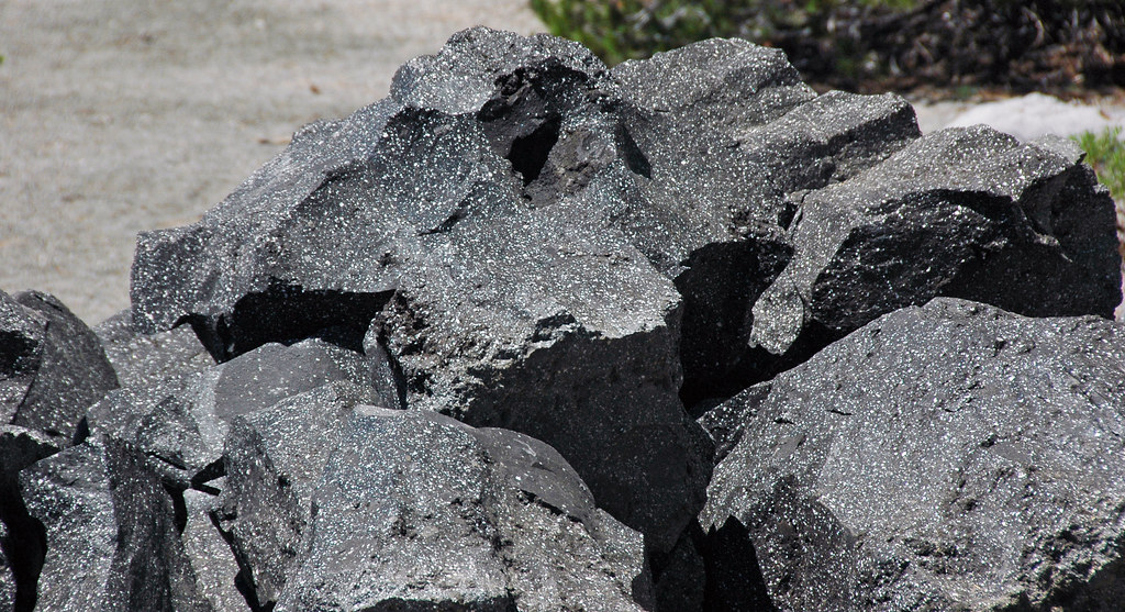
Unlike other major volcanoes of the Cascade Range, Lassen Peak is not an andesitic composite cone. Lassen, which is composed of dacite, is a volcanic dome, the largest in the world. Dacite is formed from a highly viscous lava that is unable to flow freely, so it builds a bulbous dome over its vent. Dacite is intermediate in composition between rhyolite and andesite. Because dacite has a higher percentage of silica than andesite, it tends to flow less easily, hence its propensity for constructing domes.
The Lassen dome is an offspring of a once mighty composite volcano, called Tehama, more than a 320 m higher than Lassen, with a diameter of 24 km at its base. Late in Pleistocene time, Tehama collapsed, forming a caldera more than 3 km in diameter. Preceding its collapse, vast quantities of fluid dacite streamed from vents on Tehama’s northeast flank. Subsequently, several small dacite domes rose in the area just south of Lassen peak, perhaps at the same time that the Lassen dome was beginning to form. The outpouring of so much lava probably weakened Tehama’s structure and may have caused it’s collapse.
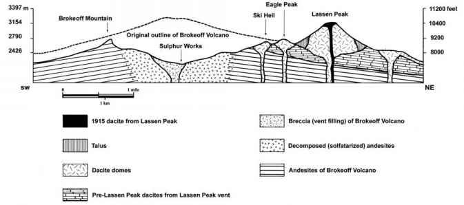
About 18,000 years ago, the volcanic dome that became Lassen Peak began pushing up through a vent in the pre-collapse dacite flows on Tehama’s northern flank. The huge dome’s rise appears to have taken place with great force and in a remarkably short time. the quantities of talus that surround and partially bury Lassen’s dome were produced by the fracturing of older rock as the plug of dacite forced its way to the surface.
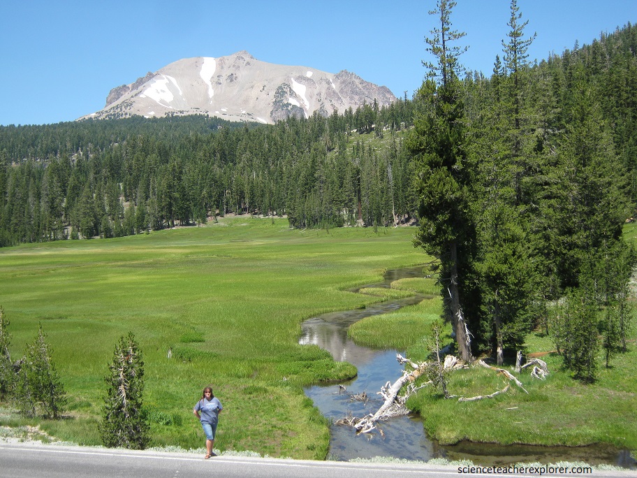
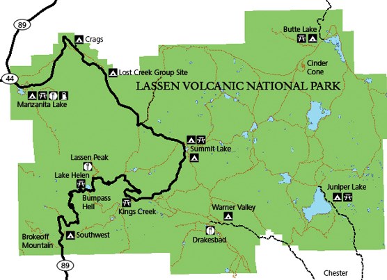
Pictured above, the landscape of the Upper Meadow is a welcome bit of flatness among all the mountains. Kings Creek meanders through the meadow with spectacular view of Lassen Peak.

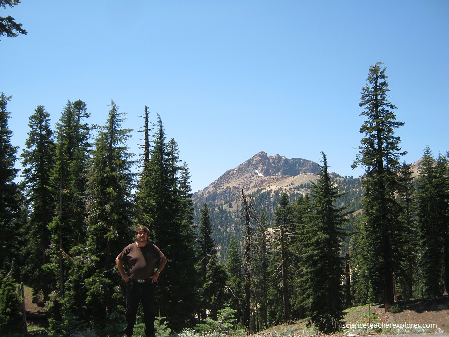
Pictured below, south of Lassen Peak, on the opposite rim of the ancient caldera, Brokeoff Mountain (elev. 3100 m) stands as a erosional remnant. Brokeoff Mountain is the second highest peak in the park.
In May 1915, Lassen Peak, California, the southernmost active volcano in the Cascade Range, erupted explosively. Avalanches, mudflows, and flows of hot ash and gas devastated nearby areas, and volcanic ash fell as far away as 200 miles to the east. The Lassen area remains volcanically active, and the volcano hazards demonstrated in 1915 still can threaten not only nearby areas but also more distant communities.
