Zambezi River, ZM 2001
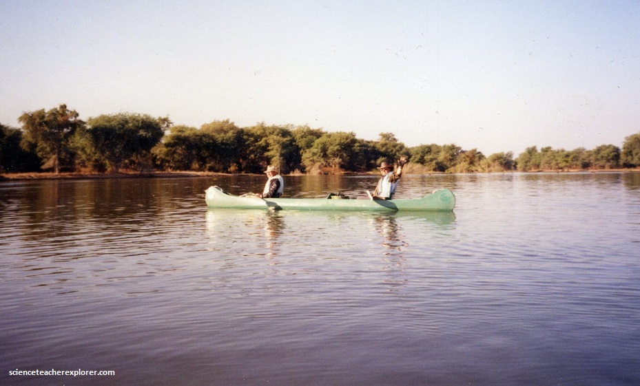
In June of 2001; I led a small group of educators, (and my father), to Africa to see the Solstice Solar Eclipse. To view the eclipse, we had decided to fly to Kariba Lake, Zambia and canoe down the Zambezi River for several days to be within the Solar Eclipse pathway. This webpage is about our adventures with the “Zambezi Wildlife Safaris Company” while canoeing down the Zambezi River.
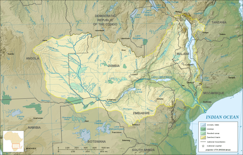
For many locals, the Zambezi River is the highway system around this stretch of northern Zimbabwe and eastern Zambia. To take advantage of this awesome wilderness route, several companies run canoe trips between Kariba and Kanyemba (on the river junction with Zimbabwe, Zambia and Mozambique).
A canoe safari is normally done in stages; i.e.: Kariba to Chirundu (3 days), Chirundu to Mana Pools National Park (3-4 days), and Mana Pools to Kanyemba (4-5 days). Any combination is possible, but we chose the Chirundu to Mana Pools segment, because it offered the best scenery and diversity of wildlife, it crossed the eclipse path, and it had a departure point that was accessible by automobile transport. We entered the river at Chirundu on Zambian side.
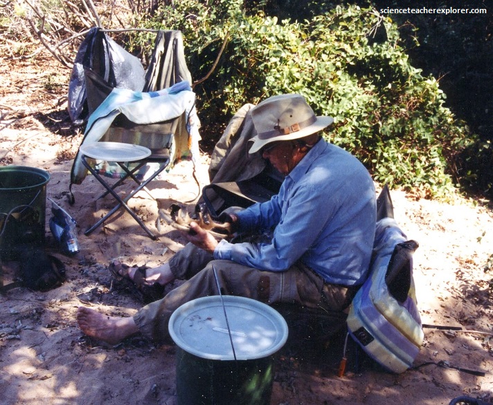
Our guides name was Evan with the “Zambezi Wildlife Safaris Company”. He was a local Zambian, that lived and was raised along the river. Evan started our tour with a lecture about the dangers of canoeing the Zambezi. There were 5 basic dangers and warnings: (1) Log Jams (2) Sun (3) Hippopotamuses (4) Crocodiles (5) Wind. I’ve included the Hippopotamuses and Crocodiles part of the lecture below. This is because they were an Africa thing.
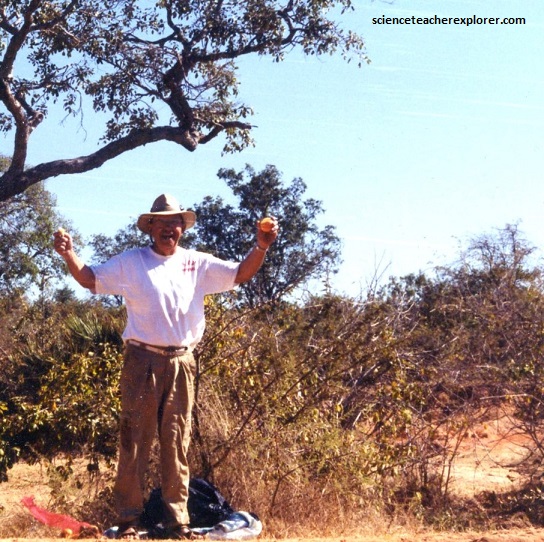
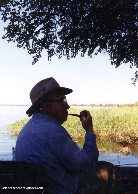
My father, Patrick Lindsay, had always wanted to do a safari in Africa. It was a lifetime opportunity for him. However, he was a hunter, and this trip with me would only be a photo trip. My educational trips are only photo trips. I have strong anti-hunting beliefs, even though I was raised as a hunter in my teenage years. Logically, I see no reason to hunt for animals anymore in our modern civilization. Unless you are starving or protecting yourself from danger.
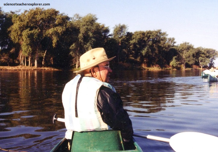
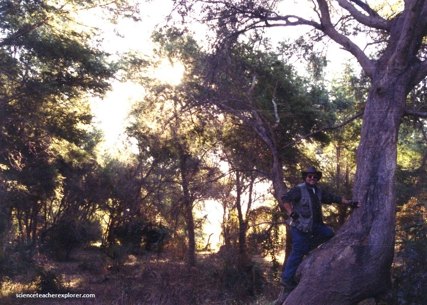
Evan did a wonderful job at protecting my group from danger. Most of the time, we camped on islands within the confines of the river.
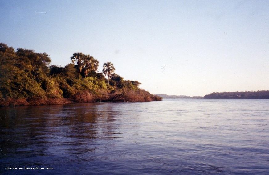
The Zambezi River is the 4th longest river in Africa, the longest east-flowing river in Africa and the largest flowing into the Indian Ocean from Africa. Its drainage basin covers 1,390,000 km2 , slightly less than half of the Nile’s. The 2,574-kilometre-long river rises in Zambia and flows through eastern Angola, along the north-eastern border of Namibia and the northern border of Botswana, then along the border between Zambia and Zimbabwe to Mozambique, where it crosses the country to empty into the Indian Ocean.
The region drained by the Zambezi is a vast, broken-edged plateau 900–1,200 m high, composed in the remote interior of metamorphic beds and fringed with the igneous rocks of the Victoria Falls.
The north of the headwaters of the Zambezi basin has mean annual rainfall of 1100 to 1400 mm, which declines towards the south, reaching about half that figure in the south-west. The rain falls in a 4-to-6-month summer rainy season when the intertropical convergence zone moves over the basin from the north between October and March. We were there in the dry season.
However, I was covered up from my fear of mosquitos. Mosquitos occur everywhere in Africa and can be a big nuisance as well as carrying serious disease, like malaria and yellow fever. I made sure my clothes covered as much of my body as possible.

In this area that we were exploring, we came across tsetse flies which transmit sleeping sickness. The fly was the size of a large, grey housefly, that crossed it’s wings like a pair of scissors. It gave a nasty sting but cases of sleeping-sickness were very rare and we were fortunate to contract this disease.
The river supported large populations of many animals. Hippotamuses were abundant along most of the calm stretches of the river, as well as Nile crocodiles (video above).
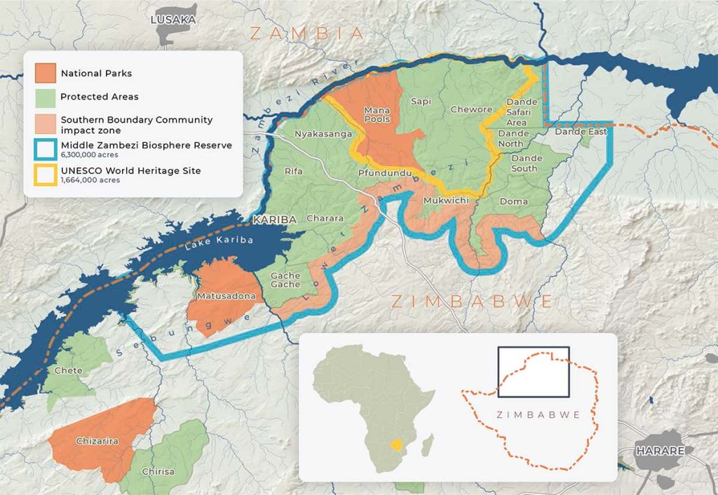
On the Zambezi’s south-eastern banks is Mana Pools National Park, Zimbabwe. This magnificent 2200 km2 national park is a Unesco World Heritage Site, and its magic stems from its remoteness and pervading sense of the wild and natural.

The word ‘mana’ means four in the Shona language, and refers to the four pools around the park headquarters that are poplar with crocs and hippos. This was one park in Zimbabwe where we were almost guaranteed to see plenty of hippos, crocs, zebras, antelopes and elephants, (video below).
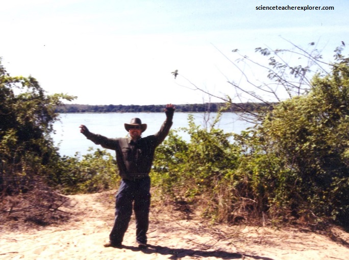
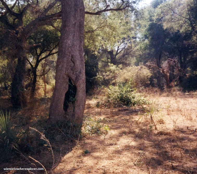
Pictured above, the riverine woodland in Mana National Park supported many large animals, such as buffalo, zebras, giraffes, and elephants. We saw buffalo, baboons and elephants. Of course, the thing that kept us awake at night were the resonating roar of the lions. They seemed to be right outside our camp.

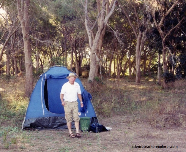
Pictured above, our tents seem to designed to keep out the creepy crawlers. We had to step-up and into the tent to get into it for the night. I’m guessing that this prevented the many scorpions, spiders and snakes crawling around the ground at night. Spitting cobras were reportedly seen in the area.
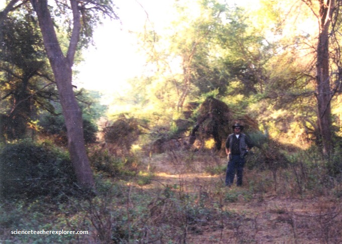
Nightly, we were raided by hyenas and baboons at night. One night we had a herd of elephants walk through the camp. My father asked, “Why they didn’t the step on our tent?”. I responded that they didn’t know us from a boulder on the ground. However, I didn’t really know the answer. Maybe we were just lucky.
The flat river terraces of Mana Pools National Park lie a few feet above the normal river level and are formed during peak floods when they are covered by silt-filled floodwater. As the floods recede, water is left in every hollow. Some are deep and large enough to hold water throughout the long dry season. Here, they attract animals that come to drink and to wallow in mud. The animals roll in the mud and carry it away, enlarging the hollows so they are able to hold-water for longer.
The Mana Pools fertile silt encourages plant growth, especially species of trees such as the Ana tree, or the apple-ring thorn tree that produces huge numbers brown curly seed pods, (a favorite of elephant and antelope). The browsing animals shun full-grown evergreen Natal mahogany, but the high density of plant eaters mean that the seedling are eaten and there in no new tree growth.
Pictured above, near Chapanga, a thin strata of grey and yellow sandstones, with an occasional band of limestone, cropped out on the bed of the river in this dry season, where they were associated with extensive seams of coal. Possibly, gold-bearing rocks occurred in several places near here.
The vegetation along the Zambezi was predominantly savanna, with deciduous trees, grass, and open woodland. Mopane woodland (Colophospermum mopane) was predominant on the alluvial flats of the low-lying river valleys. Grass, when present, was typically short and sparse. Pictured below, forestland with species of the genus Baikiaea, was found extensively on sandy interfluves between drainage channels, and is economically the most important vegetation type in Zambia, for it is the source of the valuable Rhodesian teak (Baikiaea plurijuga).
The river additionally had a distinct fringing vegetation, mainly riverine forest including ebony (Diospyros mespiliformis) and small shrubs and ferns (e.g., Haemanthus).

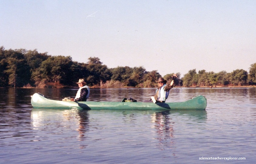
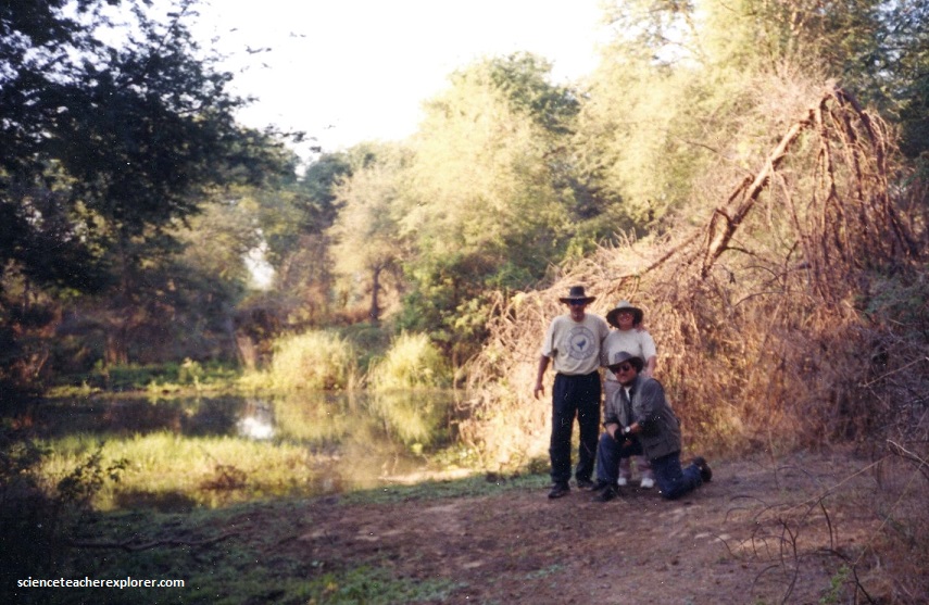
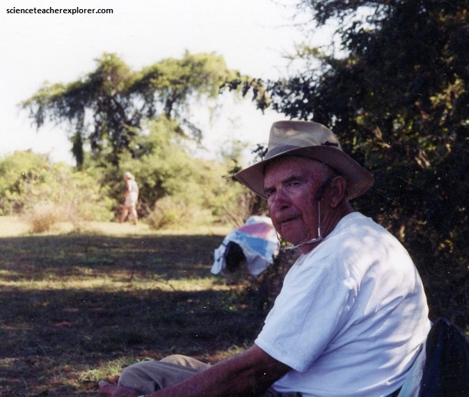
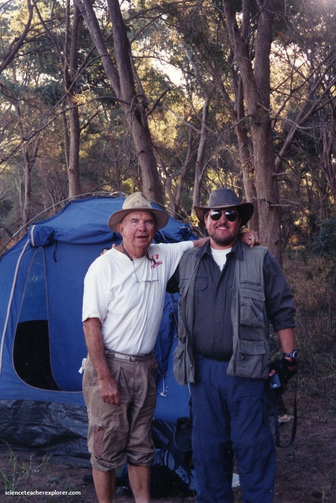
Pictured above, my father and Brent became close traveling buddies. I was constantly getting after them for taking a smoke-break in the bush. Big-mean animals out there!
Geologically, up to two million years ago, the upper Zambezi flowed south through what is now the Makgadikgadi Pan to the Limpopo River. The change of the river course is the result of epeirogenic movements that lifted up the surface at the present-day water divide between both rivers.
Meanwhile, 1,000 km east, a western tributary of the Shire River in the East African Rift’s southern extension through Malawi eroded a deep valley on its western escarpment. At a slow rate, the middle Zambezi started cutting back the bed of its river towards the west, aided by grabens forming along its course in an east–west axis. As it did so, it captured several south-flowing rivers such as the Luangwa and Kafue.
Zambia’s newest national park covered 4092 km2 along the northwestern bank of the Zambezi River opposite the Mana Pools national Park in Zimbabwe. This was Zambia’s premier parks, with a beautiful flood plain alongside the river, dotted with acacias and other large trees, and flanked by a steep escarpment on the northern side, covered with thick Miombo woodland.
Seeing groups of elephant swim across the river, or hundreds of colorful bee-eaters nesting in the steep sandy banks, was the highlight of our trip. The Lower Zambezi National Park is where we took out and went on to our next adventure to “Victoria Falls!”