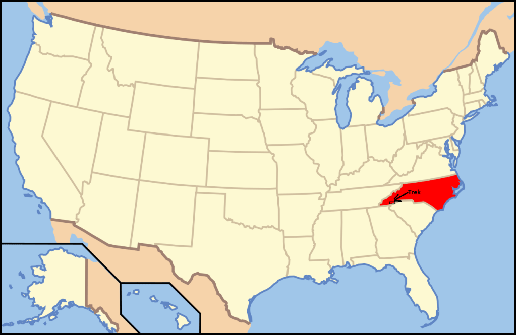
Nantahala N.F., NC
Becky (my wife) and I, found ourselves exploring/trekking the southwestern border of North Carolina, within the Nantahala National Forest.
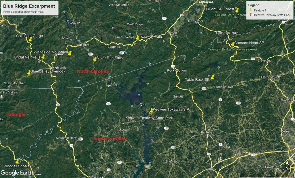
The misty mountains and shaded valleys of southwestern North Carolina, once a heartland of the Cherokee Native-American, later became home to hardscrabble farmers whose descendants are still given to storytelling, feuding, and fiddle playing. We entered the area from Georgia on Rte. GA248/NC106.
The Nantahala National Forest, (and our drive), is entirely in the Blue Ridge Mountains in North Carolina and is part of the Appalachians, which extends from Alabama to Newfoundland. The Appalachians are at the highest in most rugged in North Carolina, where there are 43 peaks above 2,000 meters.
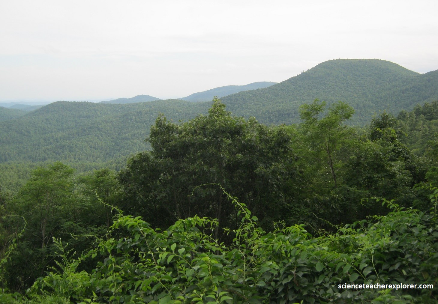
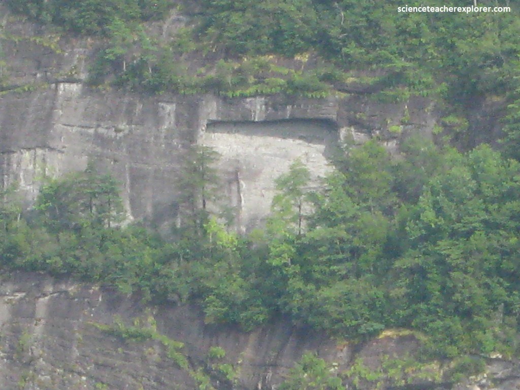
Pictured above, as Becky and I entered North Carolina, we stopped along GA248/ NC106 to take in the view at the Sky Valley overlook within the Blue Ridge Mountains. The Blue Ridge Mountains are made of highly deformed metamorphic rocks of largely Precambrian ages. These include schists, gneisses, slates, and quartzites, and are extensively intruded by igneous bodies.
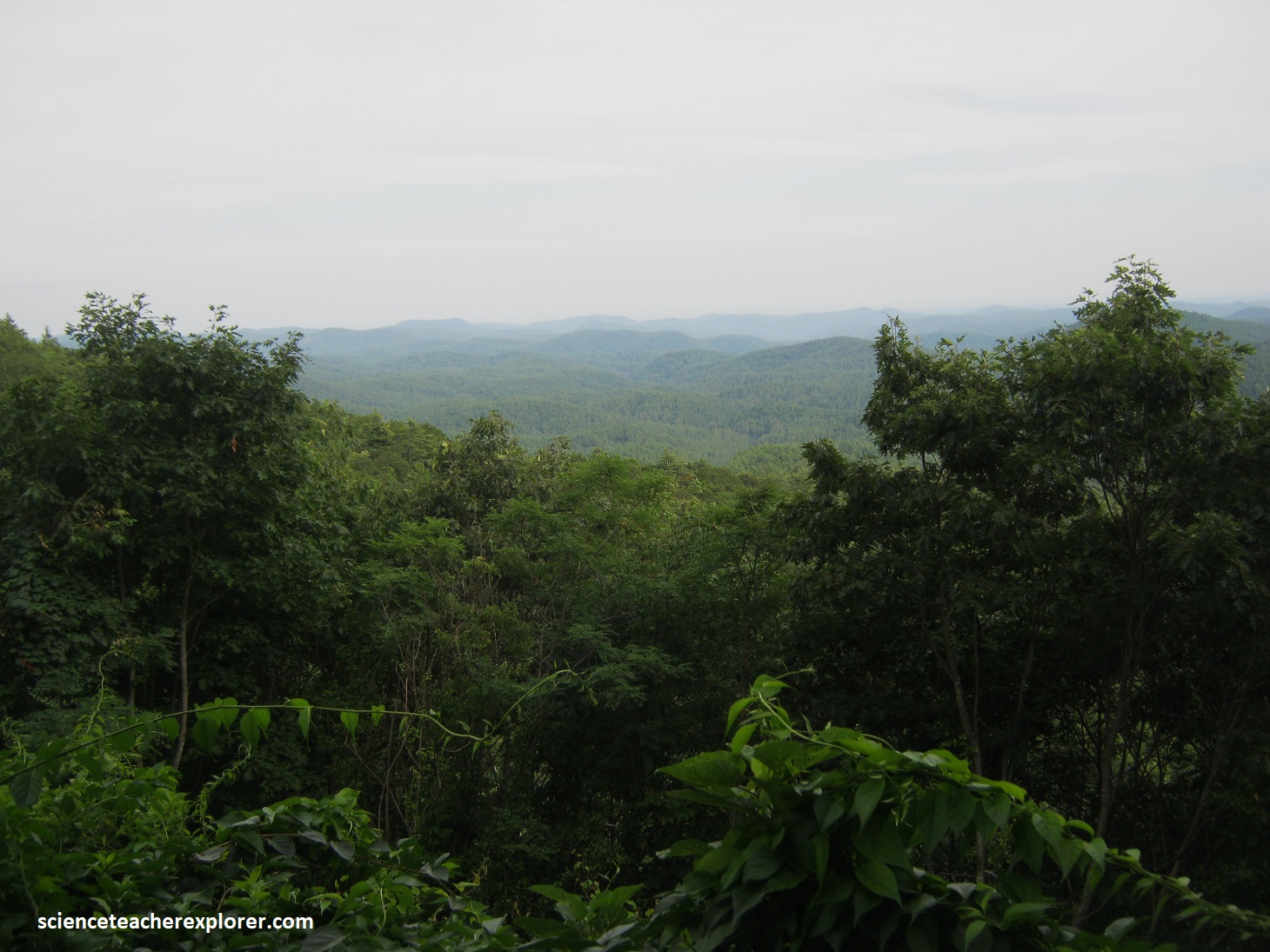
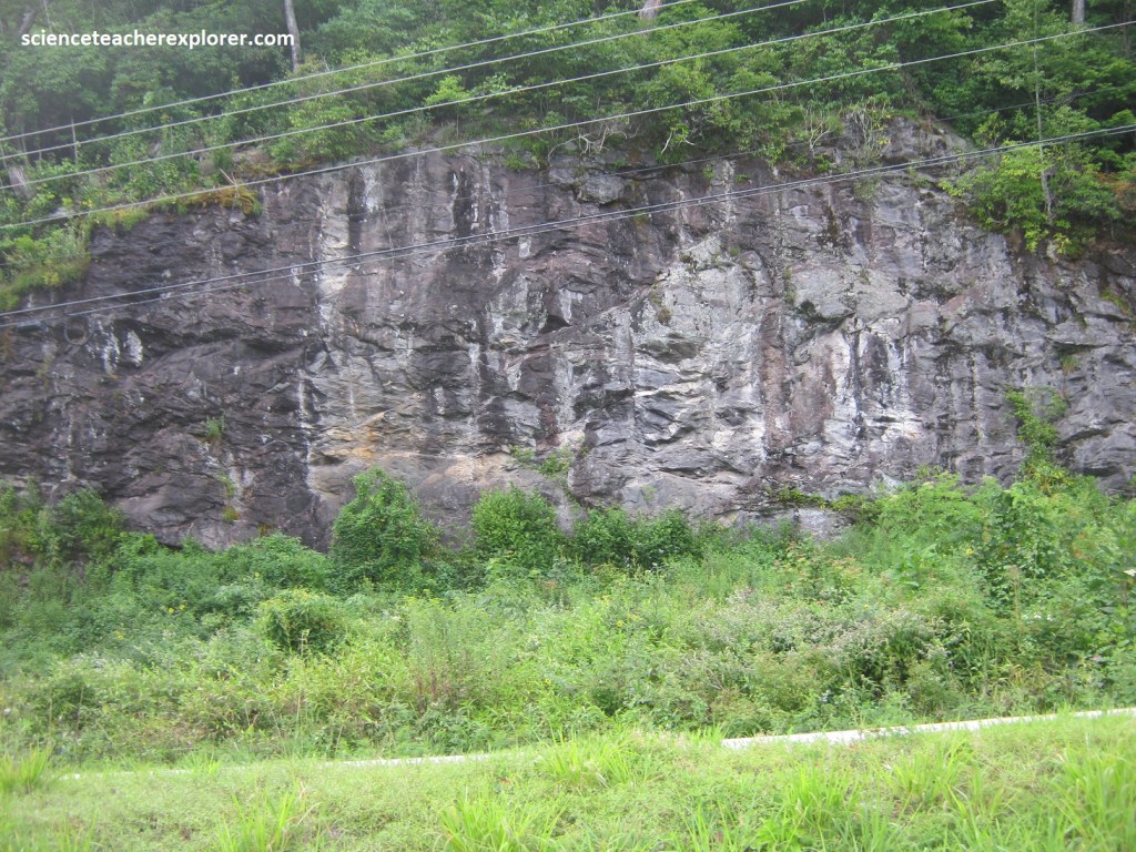
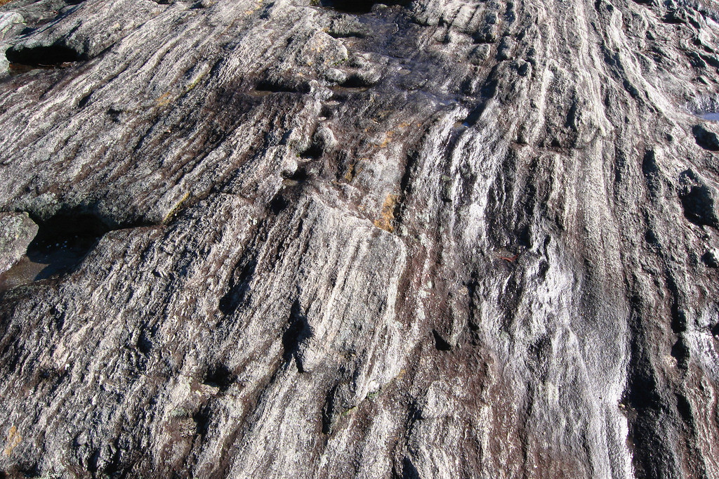
Picture above, further up on NC106, we came across another overlook called the Blue Valley overlook within the Blue Ridge Mountains, North Carolina. Pictured below, nearby was a road-cut that appeared to be made of Dolomite, (a metamorphized limestone). I’m guessing that a formation of nearby marble might be present.
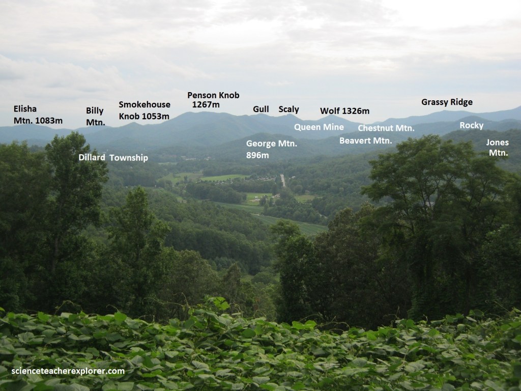
The Blue Ridge, part of the Appalachian range, was created by the uplifting of the Earth’s tectonic plates 1.1 billion to 250 million years ago. At over 1 billion years of age, the Blue Ridge Mountains are among the oldest in the world. NC106 ended at the small community of Highlands. Built near 1,545m high Satulah Mountain, this aptly named town is one of the highest incorporated communities in the East. The Eastern Continental Divide runs through the town of Highlands. In many places along this divide, waters run eastward to the Atlantic only a few feet from waters headed westward toward the Gulf of Mexico. Water in the Cullasaja River is bound for the Gulf of Mexico. From Highlands we turned northwest, (left), onto US64 to explore the Cullasaja River Gorge.
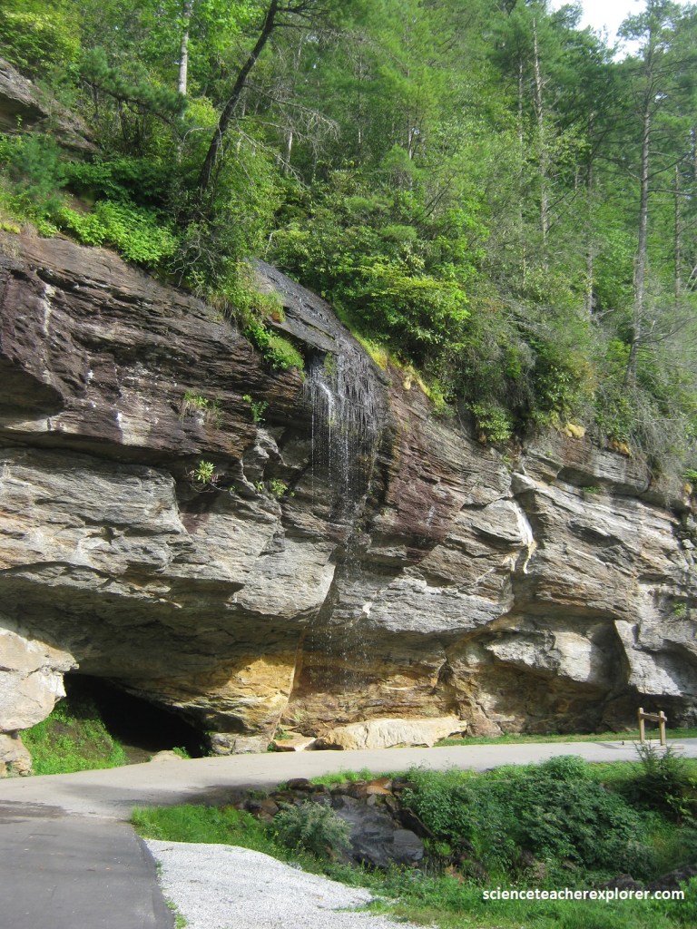
Another name for US64 is North Carolina’s “Waterfall Scenic Byway”. The first waterfall we came across was Bridal Veil Falls. Pictured above, it is a 13.7m waterfall located 3.7 km northwest of Highlands. With a short curve of roadway located behind the falls, it had the distinction of being the only waterfall in the state that one could drive a vehicle under, however this was closed and as of 2023, used for pedestrian access only.
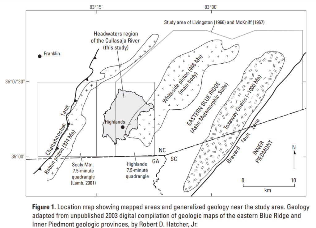
The headwaters region of the Cullasaja River and the Bridal Veil Falls is underlain by metasedimentary and meta-igneous rocks, including gneiss, schist, and amphibolite, that were intruded during Ordovician time by elongate bodies of trondhjemite, a felsic plutonic rock. Deformation, metamorphism, and intrusion occurred roughly simultaneously during the Taconic orogeny, about 470 million years ago.
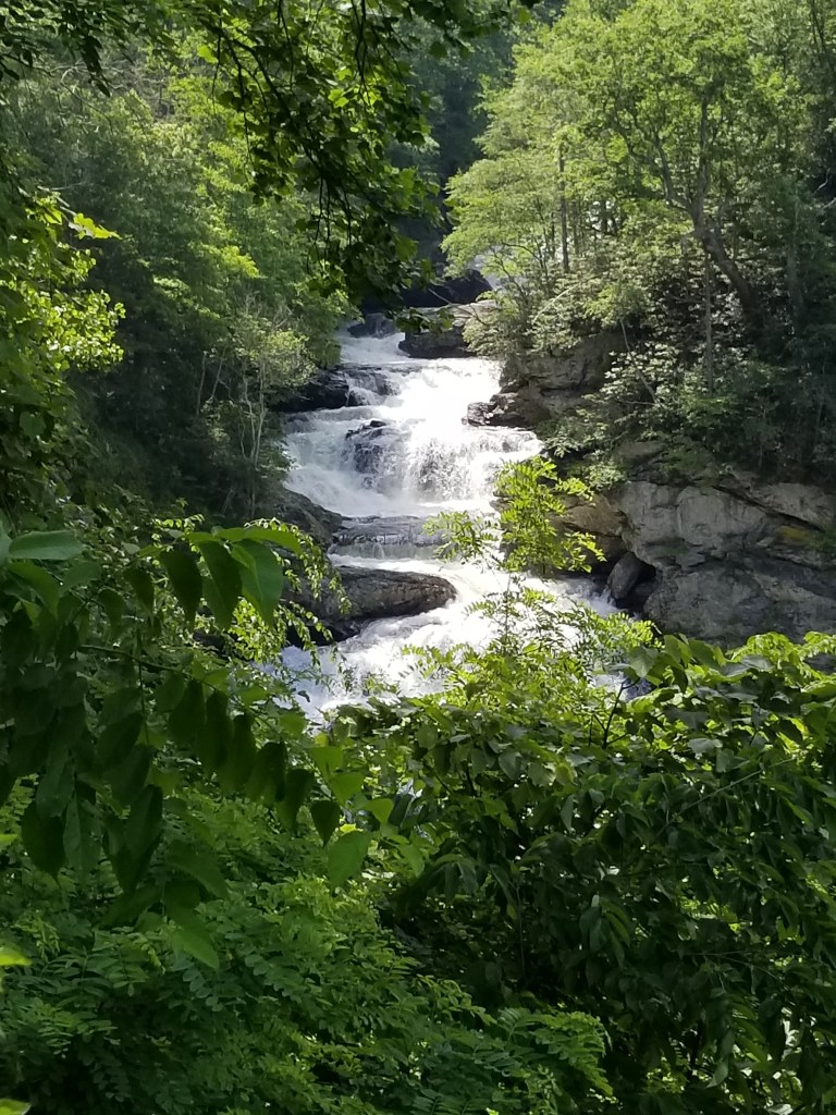
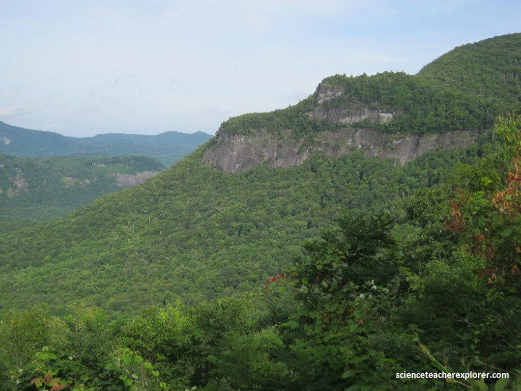
The stretch of Rte. US64 that follows the Cullasaja River northwest from Highlands is known as the Waterfall Byway, and for good reason: about a dozen silvery cascades spill down the hills on either side of the road. Just past Bridal Veil Falls, the road swoops into the Cullasaja River Gorge, whose dramatic twists and drops. After tunneling through a dense hardwood and hemlock forest, past tangles of rhododendron camouflaging the riverbanks, the road bursts out onto a bare shelf of rock high above the river. Far below, the series of cascades that make up Cullasaja Falls crash down 103m in barely 1 km, (a dramatic display of raw natural beauty. At this point, Becky and I turned around and returned to Highlands. From there we continued driving east on US64, where a loop road (NC1107) leads off Rte. US64 to the top of massive Whiteside Mountain, a sheer 667m wall of white gneiss.
Whiteside Mountain rises to an elevation of 1643m. The mountain’s cliffs look like sheets of ice draped across the mountain. This magnificent rock is about 390 to 460 million years old.
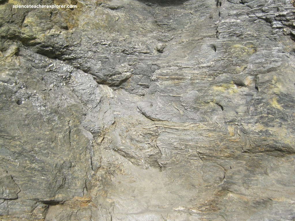
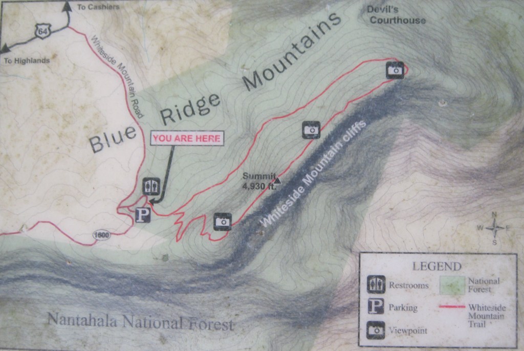
Imaged above, the trail was 3.2 km and began in the parking lot and went to the summit of Whiteside Mountain. Becky and I noticed how sparkly the soil was in places along the trail. The sparkle was the mineral mica, which had weathered out of the surrounding bedrock rich in mica. The layers (foliation) and the abundant mica told us that the surrounding rock was metamorphic rock. It had a relatively coarse grain, so we called it a schist. However, it got coarser towards the top and turned it into a gneiss.
Pictured above, the coarse mineral grains and alternating light and dark layers called banding, told us that the rock was gneiss. It most likely started out as granite or some other igneous rock before being metamorphosed, but in most places it had been so strongly deformed that all clues about the original rock had been erased. However, this rock was particularly rich in quartz and feldspar, which gave it a light color. As a matter of fact, the mineral grains are “smeared out,” which tells my that the rock had been sheared in a fault zone, (imaged below).
Imaged above, most of this gneiss originated as an igneous rock in a deep magma chamber about 543-500 million years ago. At that time, a fragment of crust, the Piedmont terrane, was colliding with Laurentia (ancestral North America). This collision, the Taconic orogeny, was the first in a series of three collisions that occurred while Gondwana (ancestral Africa) and Laurentia were moving toward each other.
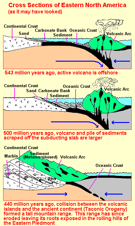
As the Piedmont terrane approached Laurentia, it bulldozed oceanic crust and sediments ahead of it. Included in the sediments were layers of ash and lava produce by the volcanoes on the Piedmont terrane. All this was pushed up onto Laurentia ahead of the Piedmont terrane and then was buried and metamorphosed. The bulldozed package of oceanic crust and sediments is called an accretionary wedge; exposures of it can be seen in the western Carolinas.
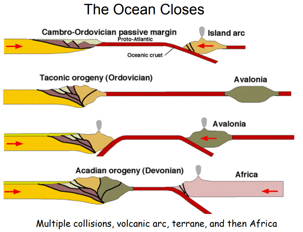
Imaged above, Whiteside Mountain is right in the middle of the Taconic accretionary wedge. This is strange because in a convergent boundary, the accretionary wedge develops at the leading edge of he overriding plate, and the volcanoes (and magma chambers) are typically 80-160 km farther back into the overriding plate. Unless, the volcanic islands of Avalonia is part of the accretionary wedge, (imaged above), and collided before the Acadian Orogeny.
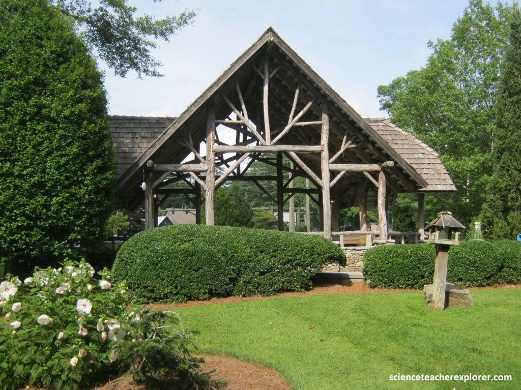
After trekking and exploring the Whiteside Mountain area, Becky and I continued driving east on Rte. US64, towards Cashiers, North Carolina. Not many dogtrot farm cabins can be see along Rte. US64 from Highlands to Cashiers.
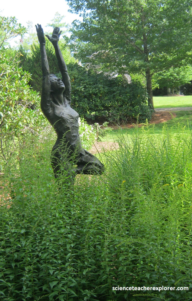
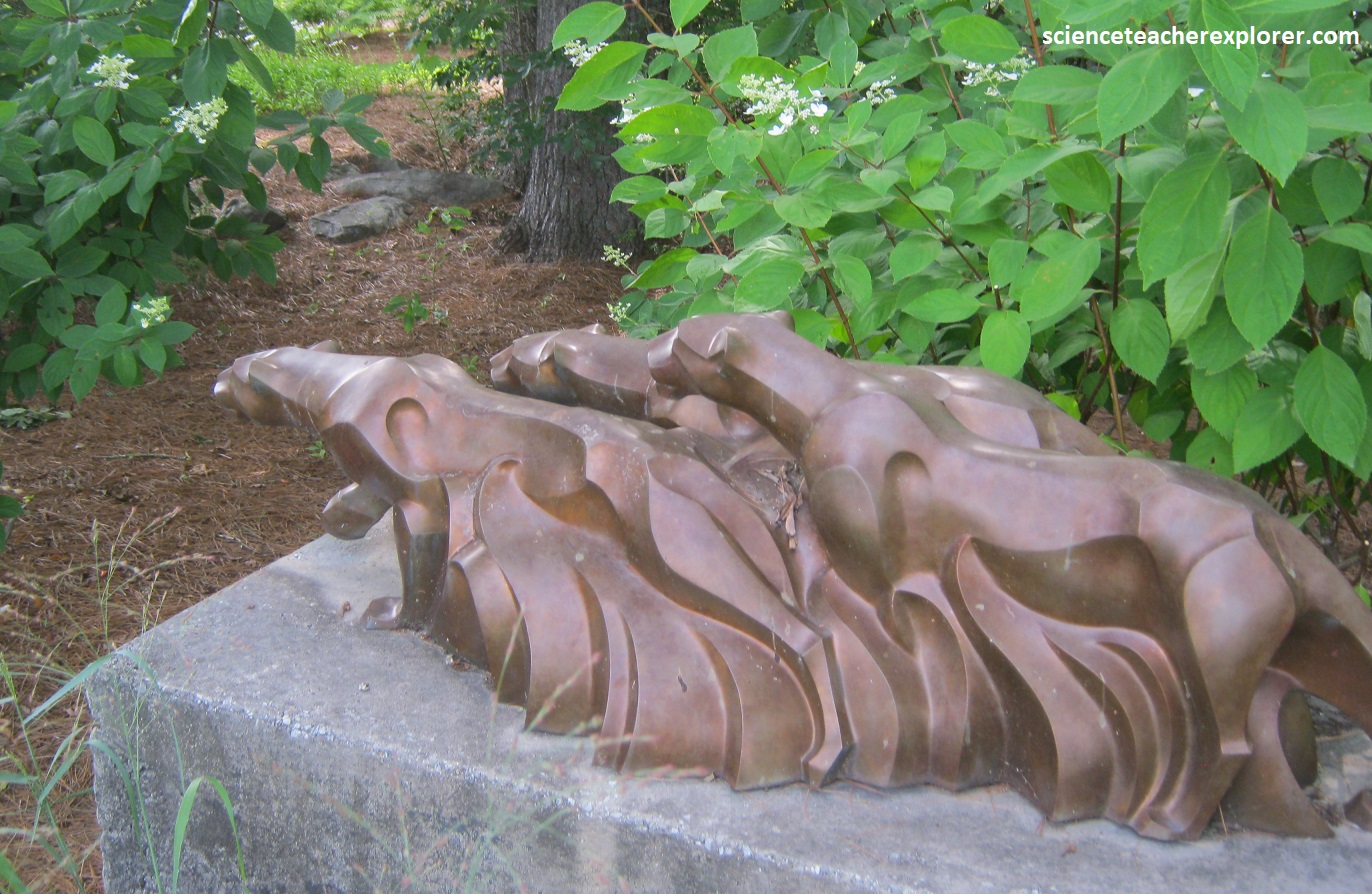
Pictured above, are some sculptures found in the central park of Cashiers, North Carolina. This seemed to be summer resort country, catering to well-to-do Southerners who flee from the sweltering lowlands to posh country clubs, groomed golf courses, and exclusive mountain retreats. Southeast of Cashiers, off Rte. NC107, lies Silver Run Falls, one of the most beautiful falls in the eastern United States. Silver Run Falls spills 10m into a pool of water. It illustrates the simple beauty of water spilling over rocks into a quiet pool below. Becky and I, trekked in about 1 km to witness a group of swimmers having a dip, (pictured below).
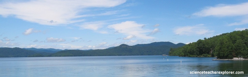
Several kilometers to the east of Cashiers, Rte. US 64 glides onto a concrete bridge above the Toxaway River, which flows from Toxaway Falls, on the south side of the road, into Lake Toxaway, to the north, (pictured below).
About 29km farther east lies the resort town of Brevard, home of the Brevard Music Center, which sponsors summer concerts ranging from classical to pop. Brevard is the gateway to the DuPont State Forest to the east. Becky and I took US 276 to approach the DuPont State Forest from the south, after coming to a small town called Cedar Mountain, North Carolina.
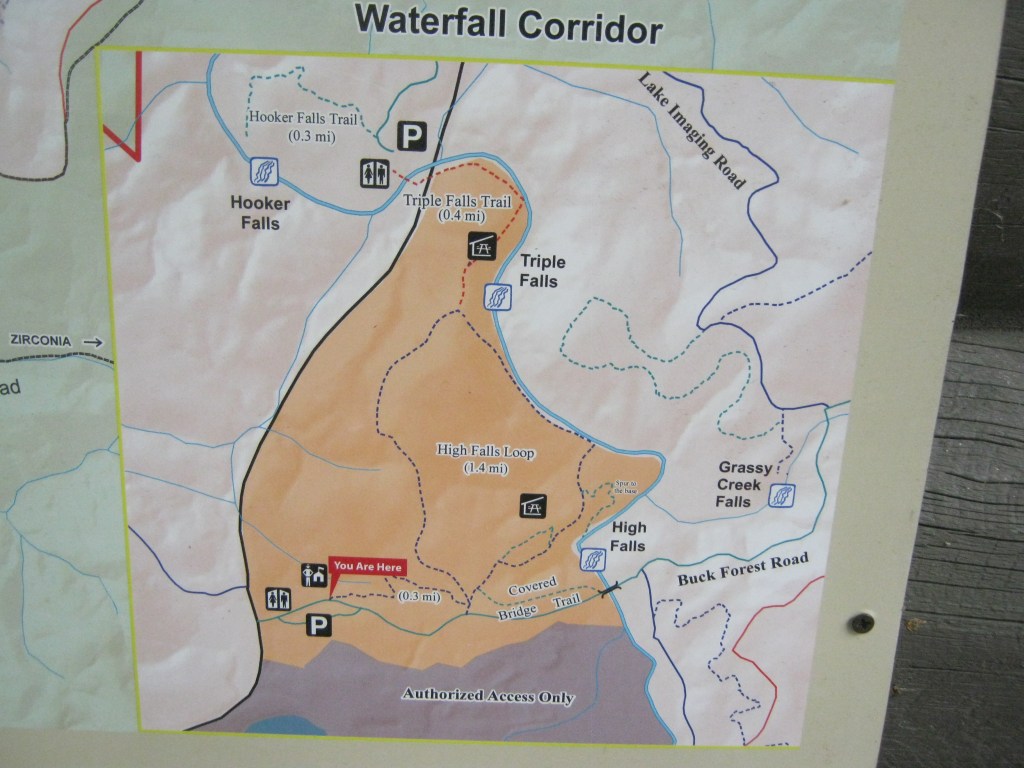
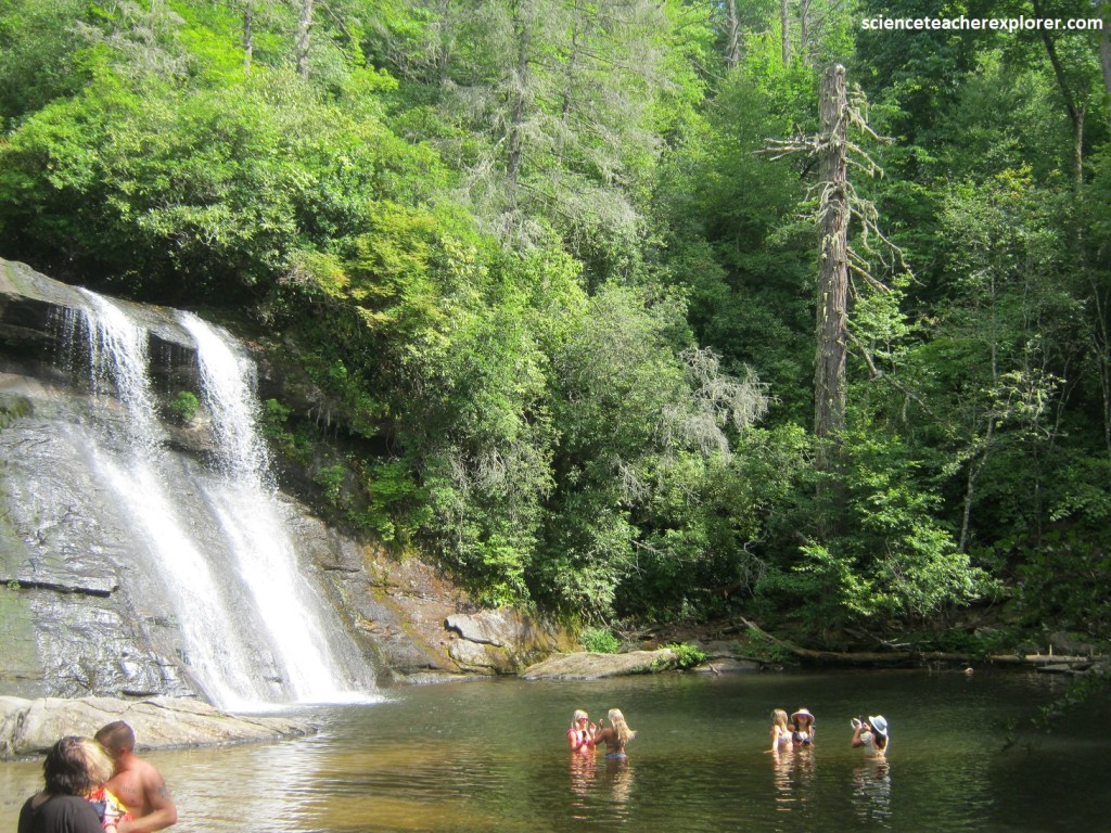
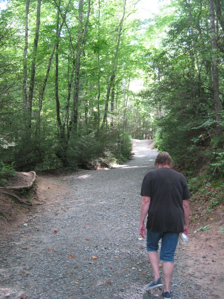
Imaged above, Dupont State Forest has lots of waterfalls because it’s an area with steep slopes and hard rock that doesn’t erode easily. It was a terrific place to observe and analyze the many different way that a stream and bedrock can interact to make a waterfall. Hooker Falls, Triple Falls, High Falls and Bridal Veil Falls all are made of the same rock type, but they look dramatically different.
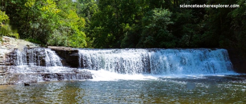
Pictured above, Hooker Falls is only 3.7m high, but still impressive. The face is nearly vertical and stretches all the was across the river, so the water falls all at once & makes it quite noisy. The horizontal layering of the rock is foliation from the metamorphism of the the rock. The rock here is a metamorphic rock made primarily of the minerals quartz, feldspar, and mica. This rock contains the same minerals that are found in granite, so I would call this granitic gneiss, (probably the same found in Caesar’s Head & Table Rock). The vertical drop has to do with the interaction between the horizontal foliation and the vertical jointing. When horizontal and vertical planes of weakness intersect, they tend to produce blocky pieces of rock, which break off, leaving behind steep faces.
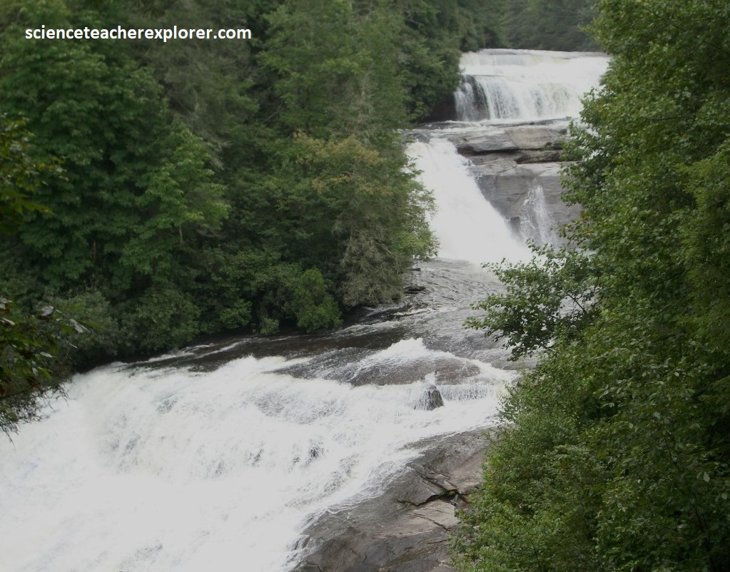
Pictured above, from the same parking lot, Becky and I crossed the road to trek upstream to Triple Falls. Triple falls, true to its name, is a three-step waterfall that had a total loss of elevation of about 16.7m. The foliation here is just as horizontal as it is at Hooker Falls, and we could see that Triple Falls had a pronounced horizontal aspect. (each waterfall ended on a large flat plane before the next one began). The horizontal foliation in these rocks is typical of rocks that have metamorphosed within the lower crust. It is thought that during mountain-building events the lower crust gets squeezed, heated and extruded horizontally by the weight of the overlying rocks. The pervasive horizontal foliation in the rocks of DuPont State Forest was very likely produced by this kind of lower crustal flow.
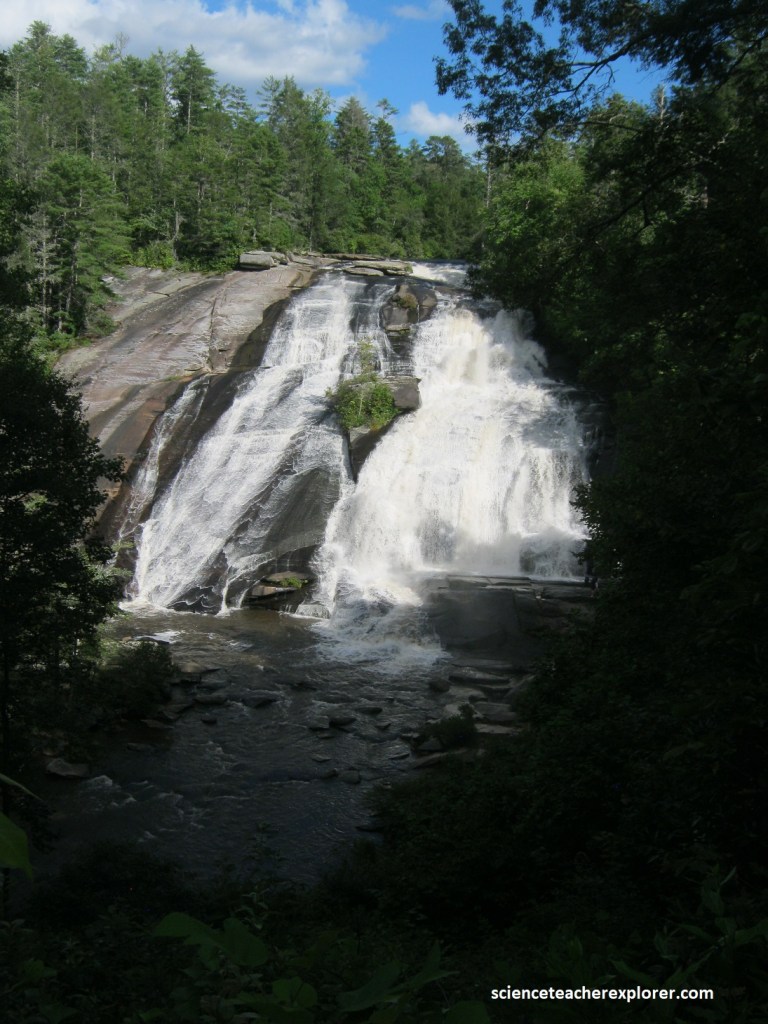
Pictured above, High Falls is the highest waterfall in DuPont State Forest. It has only one face, like Hooker Falls, and its face is even less steep than the faces of Triple Falls. If fact, in many places, the slope of the face is gentle enough that the water slides down the rock. Perhaps there are fewer vertical joints here than at Triple Falls.
We were unable to find the time to see Bridal Veil Falls, (even though it was in the movie “The Last of the Mohicans”). In the movie, it had an overhang that produced a curtain of water in front of a shallow “cave”. Usually an overhang like this occurs when the rock on top is more resistant to erosion than the rock beneath it.
DuPont State Forest contains more that 10,000 acres of land, 145 km of hiking trails, and many waterfalls.
