Salton Sea, CA 2015
At the end of November of 2015; Becky (my wife) were spending Thanksgiving at Indio, California. We were within a few kilometers of “The Salton Sea”. So we spent the day exploring the shores of it.
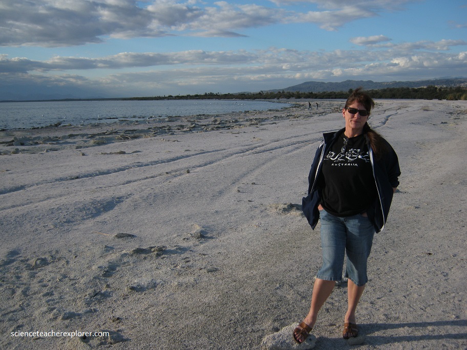
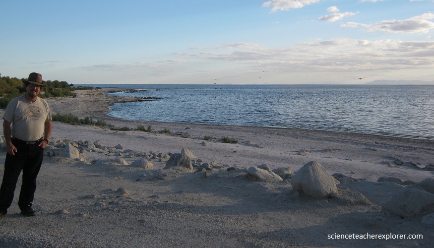
Below, I am standing on the shores of the Salton Sea. The Salton Sea is a shallow, saline, endorheic rift lake located directly on the San Andreas Fault.
The lake occupies the lowest elevations of the Salton Sink in the Colorado Desert of Imperial and Riverside Counties in Southern California. Its surface is 234.0 feet below sea level. The deepest point of the sea is 5 feet higher than the lowest point of Death Valley.
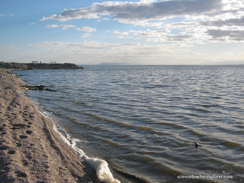
Over millions of years, the Colorado River has flowed into the Imperial Valley and deposited soil (creating fertile farmland), building up the terrain and constantly changing the course of the river. For the last thousands of years, the river has flowed into and out of the valley alternately, creating a freshwater lake, an increasingly saline lake, and a dry desert basin, depending on river flows and the balance between inflow and evaporative loss. The cycle of filling has been about every 400–500 years and has repeated itself many times. The latest natural cycle occurred around 1600–1700 as remembered by Native Americans who talked with the first European settlers.