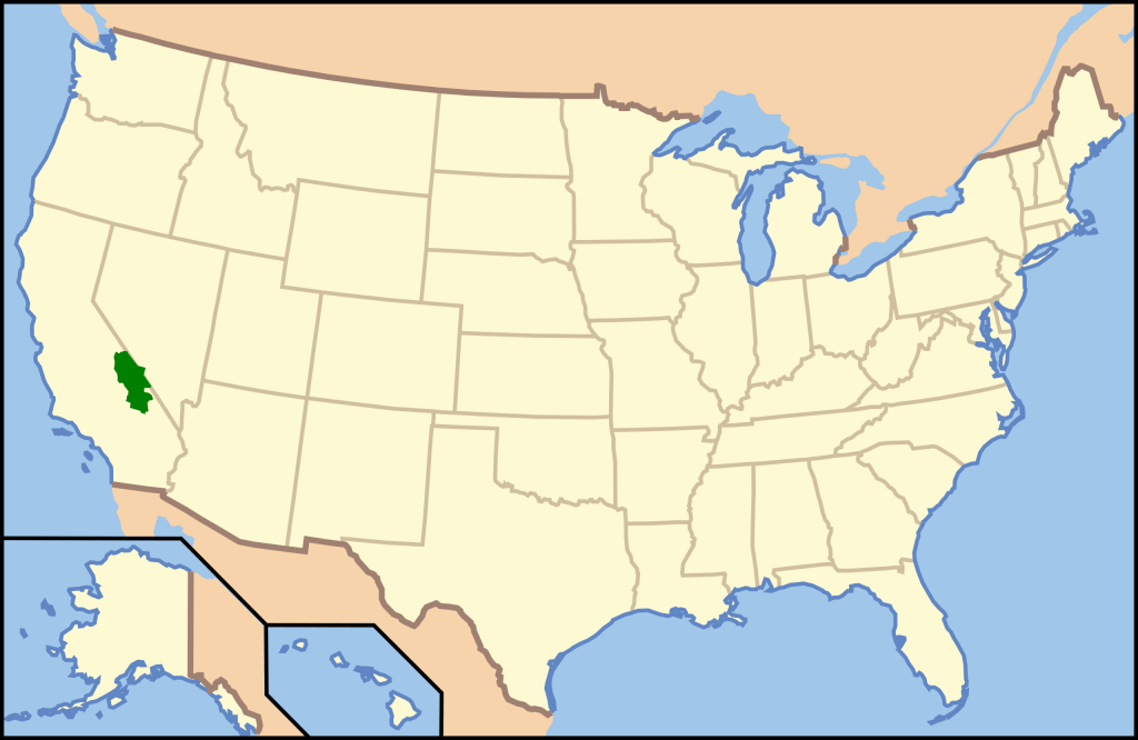
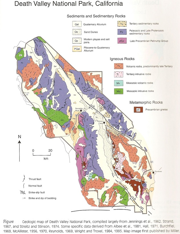
Death Valley N.P., CA
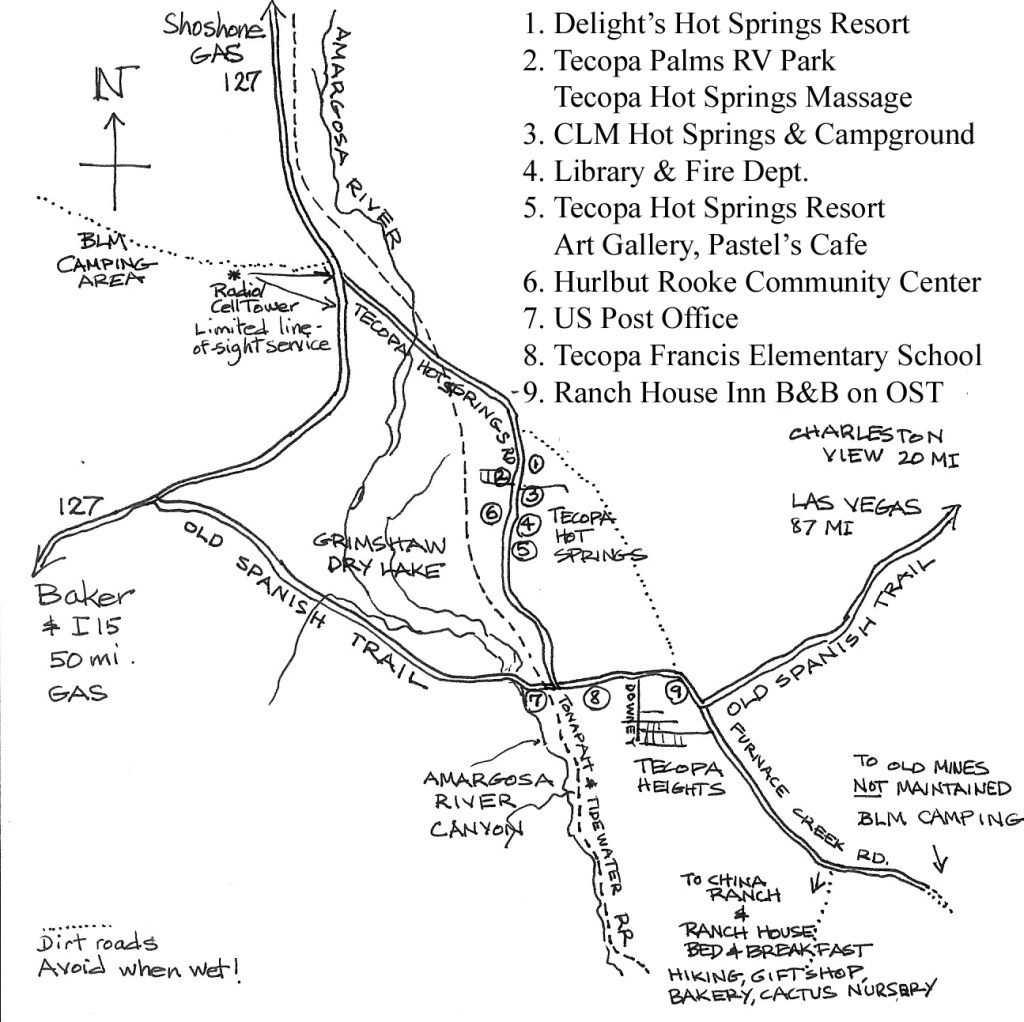
In December of 2006, I accomplished an educational tour to Death Valley National Park from the University of Utah Natural History Museum. It ended up being an extensive 4 day camping-tour. We camped one night in the Valley of Fire State Park in Nevada and then 2 nights within the “Furnace Creek Campground” at Death Valley National Park. Death Valley National Park is an American national park that straddles the California/Nevada border, east of the Sierra Nevada. Once we made it to Las Vegas on I-15 South, we exited on SR-160 west. From there we drove 72 km to the Tecopa Road (Old Spanish Trail) and turned left (south). Then we drove 66 km across the border to Tecopa.
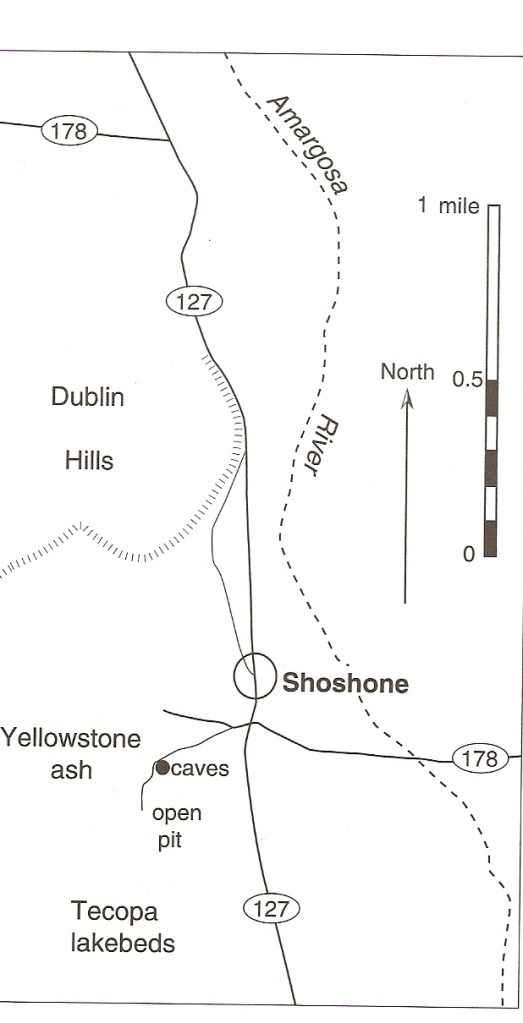
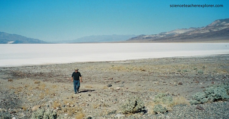
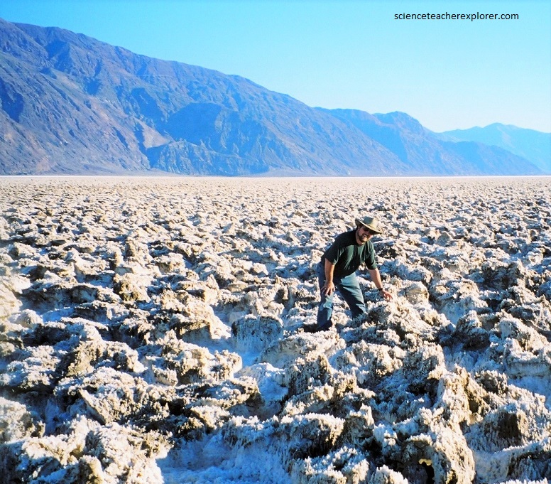
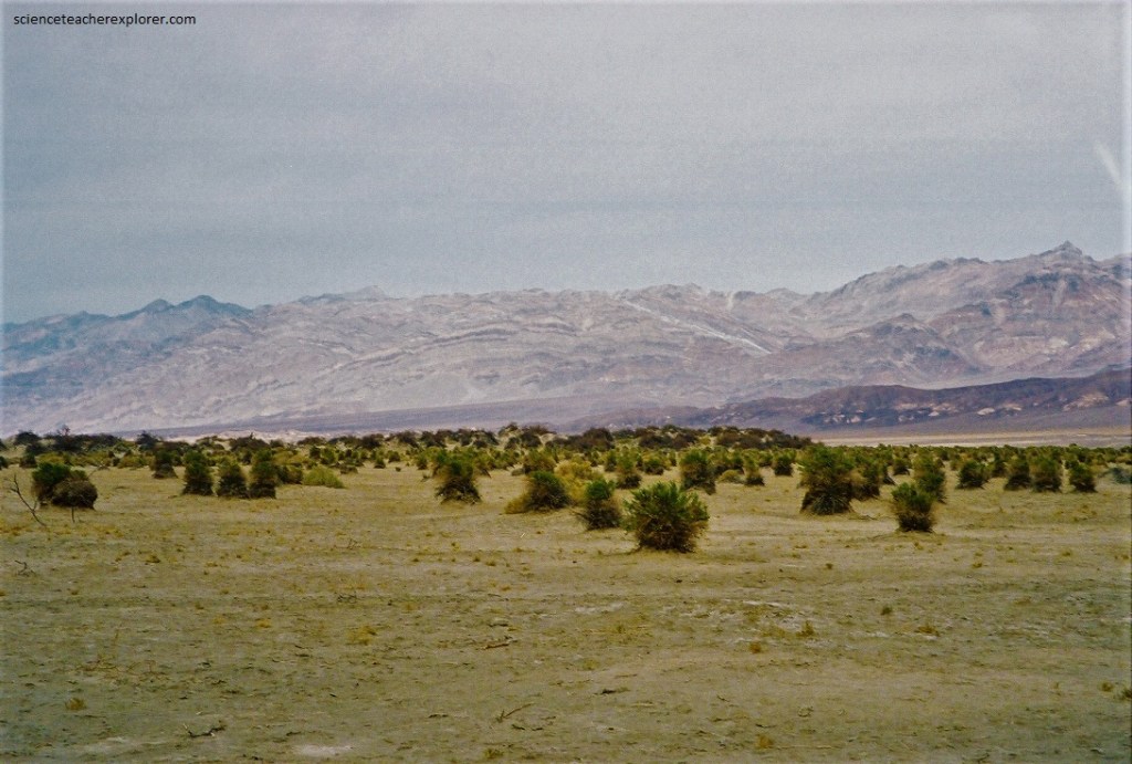
Pictured below, geologic evidence indicates that a lake was part of Death Valley’s landscape until about 500,000 years ago. Around Shoshone and Tecopa Hot Springs, a dozen kilometers east of the southeast corner of Death Valley National Park, lie whit, fine-grained, eroded lakebeds. These are sediments from the floor of ancient Lake Tecopa.
Lying at the terminus of the large Pleistocene-Age Amargosa River, Lake Tecopa was a permanent lake. The lake covered about 220 square kilometers and was over 130 meters deep. The climate had to be cooler and moister that it is today because the discharge of the modern Amargosa could not maintain a lake of Tecopa’s size under the present-day evaporation rate.
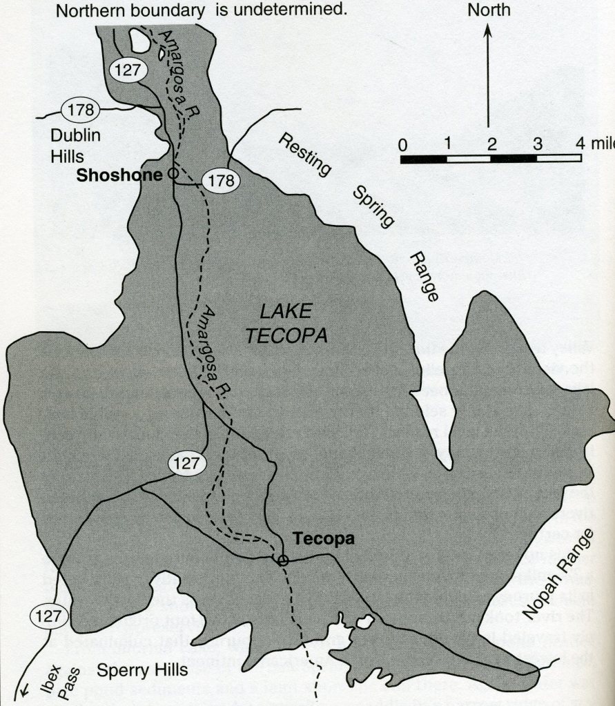
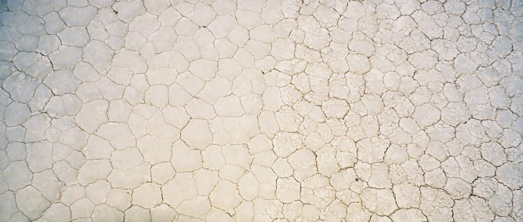
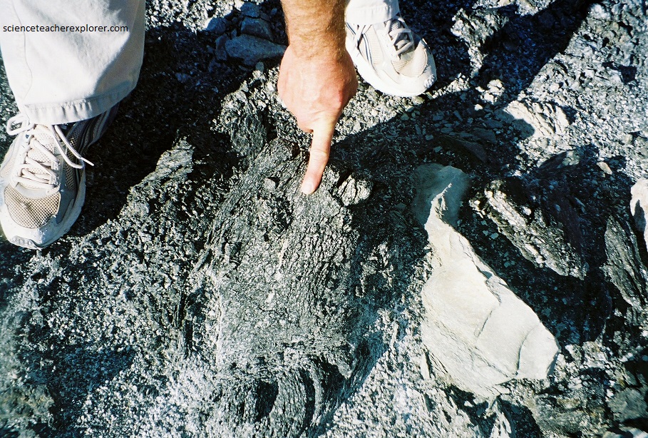
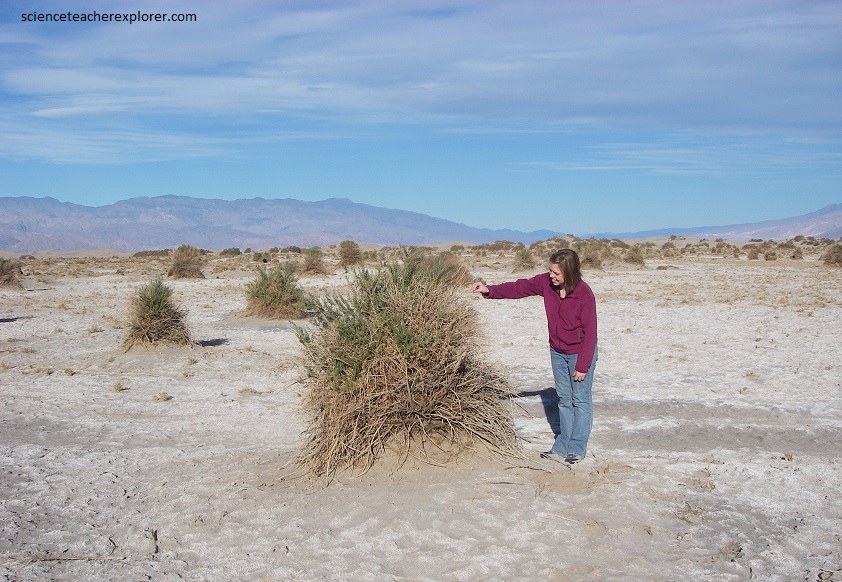
Pictured above, the lake-floor sediments are mainly mudstones of clay, silt, and fine sand, as well as shoreline conglomerate, sandstone, calcareous tufa, and twelve layers of volcanic ash. Of great interest are three volcanic ash deposits that are particularly thick and continuous. These three layers and their sources and ages are: Lava Creek ash from Yellowstone (620,000 yrs old); Bishop ash from Long Valley (760,000 yrs old); & the Huckleberry Ridge ash from Yellowstone (2 million yrs old).
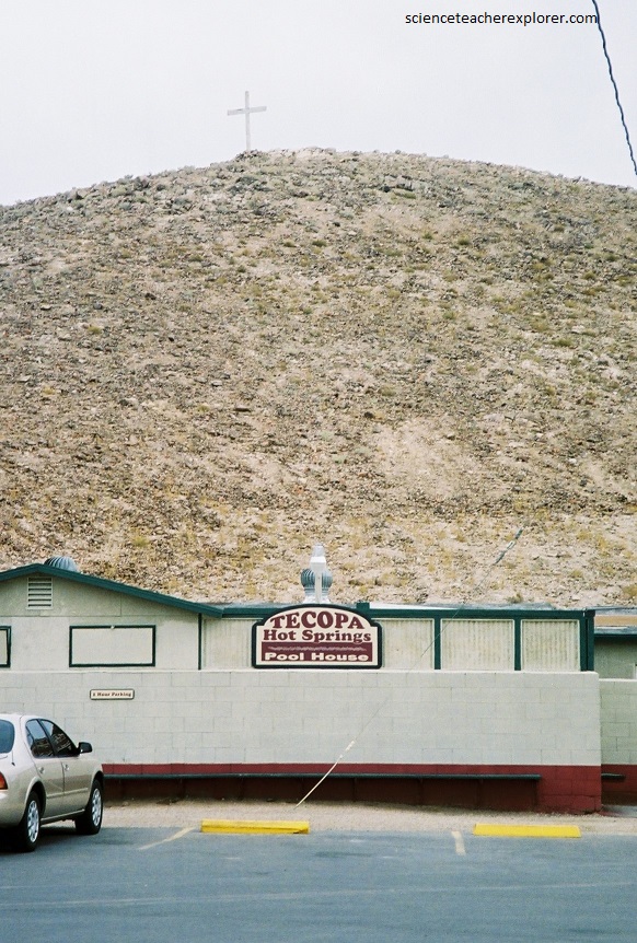
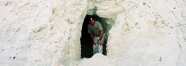
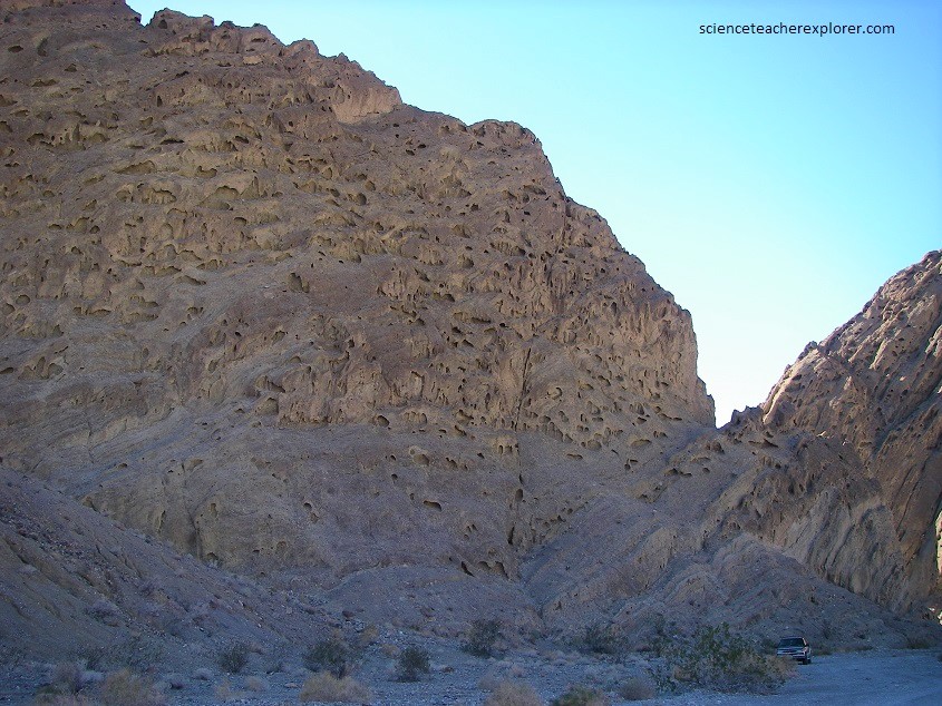
Scientists establish the source for each ash by its distinctive chemical and mineralogical composition and by analyzing its trace-element content, a process known as chemical fingerprinting. Ages were determined by measuring radioactive elements (such as potassium), and their decay products (such as argon) in rocks at the eruptive center that produced the ash. These ashes help bracket the age of Lake Tecopa. Imaged below, the ash deposits are found 1 km southwest of Shoshone.
Homeless people excavated and lived in a group of caves there, during the Great Depression of the 1930s. Pictured below, the basal 2 meters of cave-cliff is Lava Creek ash, pure white beneath the stain and mud washed down from overlying beds. A thickness of 2 meters is abnormal for an air-fall ash be deposited 1,050 km from its source.
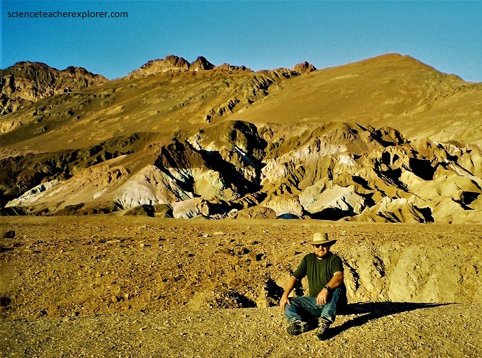
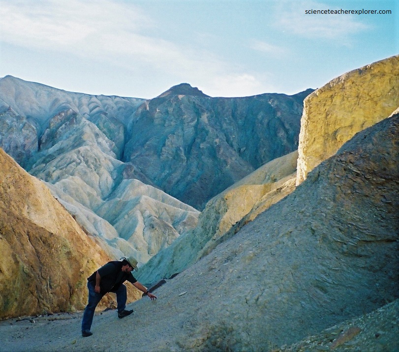
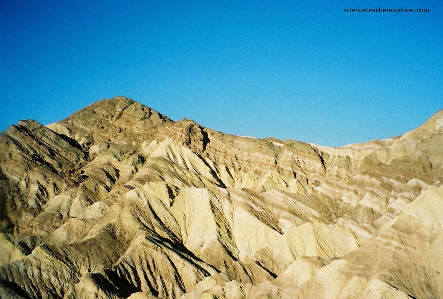
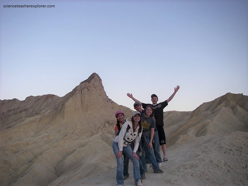
From Shoshone, we continued on to Death Valley National Park on SR-178. Death Valley is beautiful for its contrasting landscapes. Death Valley National Park has the lowest spot in United States, which is then dwarfed by the nearby 11,000 foot Telegraph Peak. There are eroding sandstone cliffs, canyons, volcanic craters, surprising springs and “painted” rocks.
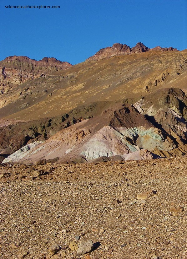
Like Lake Tecopa, Death Valley also once held a lake 100 meters deep and close to 161 kilometers long. As a matter of fact, lakes formed and disappeared repeatedly in Death Valley over a period exceeding a million years. Lake Manly is the name usually applied to all Pleistocene Lakes older than 10,000 years in the valley. This flat-floored lake bottom, zigzag trough of a valley is the lowest, hottest, and driest mountain-fringed basin of the desert southwest. A graben, it is a product of fault movements rather than of stream or river excavation. Subsidence between two major faults has put parts of its floor 86 m below sea level. Imaged below, the Panamint Range and Cottonwood Mountains on the west and the Grapevine, Funeral, and Black Mountains on the east, are edged with the still-active faults that shaped, and continue to shape, Death Valley.
Mountain uplift and valley down-dropping, have kept well ahead of erosion and infilling. Death Valley has no outlet. Streamflow from the surrounding mountains, some of it relayed by adjacent higher-elevation valleys that in turn drain into Death Valley, simply dries up, evaporates, leaving its dissolved minerals behind. Rainfall here averages about 4.3 cm/yr. Normal faults, caused by tension or pulling apart in the Earth’s crust, are responsible for most of the valley’s depth.
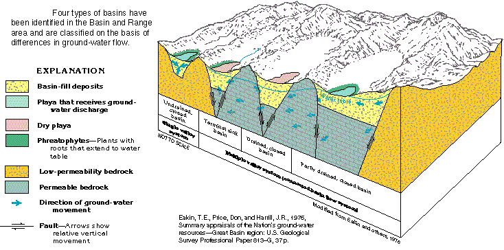
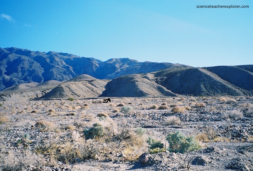
Death Valley is quite young in a geologic sense. Its bordering faults are young. The straight-fronted ranges that rise above its floor are young, as is shown by their steep, craggy slopes and faceted ridges, by shattered rock debris still clinging to their crags, and by the “wineglass” shape of some of their canyons. Less than 4 million years ago Death Valley began to open up, its floor gradually dropping as the crust pulled apart. Along many faults there was so much movement that large blocks of the mountainsides swept downslope and onto the surfaces of new, rapidly developing alluvial fans. Imaged below, horizontal movement along some faults further widened Death Valley and gave it its overall zigzag shape.
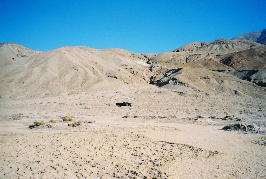
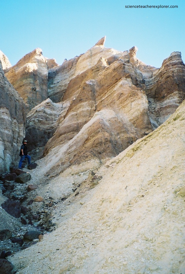
As faulting continues, Death Valley, deepens. Erosion has tore at the bordering ranges. Heavily laden streams built immense alluvial fans. The great alluvial fans, which obviously postdate much of the faulting. are nevertheless marked by fault scarps that reflect movement within the last few thousand years, (pictured below).
Time-scarred, etched by gravity, wind, and infrequent but often torrential rain, the mountain faces rise above spectacular alluvial fans produced where steep mountain canyons disgorge into the valley.
Pictured below, the fans represent in only a minor way the vast amount of debris actually removed from the Black Mountain. Gravel deposits, landslides, and accumulations of volcanic ash, are more then 3,000 m thick beneath the present fans and salt pans. Reconstructing the original mountains and adding their height to the depth of these sediments, we find that total vertical movement on the valley-edge faults has been at least 6,700 meters.
Fans come in many sizes, ranging from small fans of a few square meters to huge features that extend many kilometers and rise hundreds to a thousand meters from foot to head. Most fan surfaces slope gently 2-5 degrees outward from the mountain canyon and are symmetrical and relatively smooth, scarred only by shallow gullies. The profile along the length of the fan, called the radial or longitudinal profile, may look nearly straight, but most fans are slightly steeper toward the head; thus, the radial profile is gently concave. The transverse profile, across the width of the fan, is convex and indented by gullies.
Pictured above, the walls of the canyon confine the stream to a single, narrow, deep channel that transports debris efficiently. The lateral constraint ceases at the mouth of the canyon, allowing the discharge to spread into a myriad of shallow channels over at least part of the fan surface. At that point, transport becomes less efficient, and the stream deposits at least part of its load. Since streams get rid of the largest rocks first, debris is coarsest at the head of a fan and progressively finer downslope. The very finest material, which travels in suspension, goes to the playa on the valley floor.
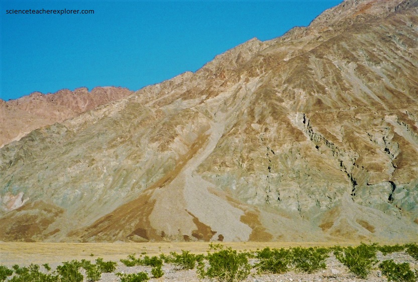
Pictured above, parts of a fan’s surface are built at different times. Deposition can favor one part until it rises above the average surface level, then deposition shifts to a lower part. Differences in color and development of rock varnish, which ranges from light (young) to dark (old), highlight the piecemeal construction of fan surfaces.
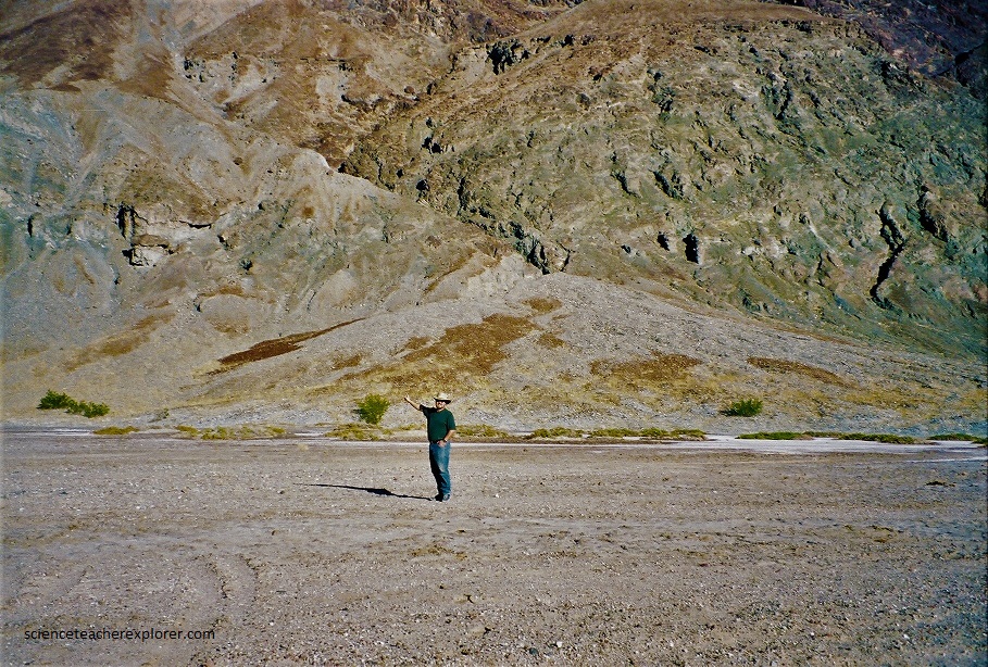
Pictured above, the lowest point in the Western Hemisphere, Badwater is 86 m below sea level. Sea level is shown by a whited marker 86 m up on the side of the Black Mountains. A long, narrow fault block composed of highly altered, deformed metamorphic rocks, the Black Mountains rise extremely steeply; their bas marks the approximated position of the faults that edge the east side of Badwater Basin.

Pictured above, the deepest, youngest part of Death Valley, this basin first opened up about 3 million years ago. Faulting is still going on, the result of the pulling apart of the Black Mountains to the east and the Panamint Range to the west. Fault scarps only a few thousand year old cross nearby alluvial fans (pictured above), and shattered rock debris still clings to the cliffs. West of Badwater the valley fill, (layer upon layer of salt and mud), is about 2,400 meters thick.
Pictured above, the great Death Valley salt pan, covering more than 500 square kilometers stretches south and north from Badwater. Salt pools at Badwater show us that the water table is just below the salt pan surface. The water is far saltier than ocean water; on hot, dry summer day salt crystals from on its surface.
Pictured above, the many-colored layers of rhyolite tuff and other volcanic rocks seen along the Artists Drive came from explosive eruptions that took place in Greenwater Valley, just east of the Death Valley, about 5 million years ago. The reds and pinks, yellows and golds were added later as hot groundwater leached and altered iron minerals in the soft volcanic material. Pastel greens and grays developed as alkaline lake waters reacted chemically with volcanic ash. Dar brown mudstone, which contains less ash and more mud, accumulated in and near lakes along the Furnace Creek Fault. Coarse gravels resembling those of modern alluvial fans show that steep mountains already rose above the lake-filled valley of Pliocene time.
Pictured above, capped in places with darker basalt, the chaotically colored rocks of Artists Drive slid into their present positions less that 3 million years ago, as detachment blocks that slid downward as the Black Mountains rose and the valley subsided.
Pictured above, northwest of Badwater is a bed of solid rock salt that is the last vestige of Pleistocene Lake Manly, which dried up about 8,000 years ago. This rock salt layer, of almost the same composition as ordinary table salt, is 1-2 meters thick. Now above the water table and out of reach of possible flooding, the salt bed is etched and gullied by rain and wind into a field of jagged pinnacles and spires.
Pictured above, Death Valley has much salt, and salt can damage rocks impressively. Salt breaks rocks apart principally by a process called crystal prying or wedging. This happens not by soaking the rocks in salt water, but by moistening their bottoms with salt water. Most stones have capillary passages that suck salt water from the wet ground. Death Valley provides an ultra-dry atmosphere and high daily temperatures, which promote evaporation and the formation of salt crystals along cracks within stones. The growing crystals exert pressures on the rock and eventually pry the rock apart along planes of weakness, such as banding in metamorphic rocks, bedding in sedimentary rocks, preexisting or incipient fractures, and along boundaries between individual mineral crystals or grains.
Pictured above, the yellow rocks so well exposed in Golden Canyon and Zabriskie Point are some of the volcanic ash ejected in Pliocene time by volcanoes in the Greenwater Valley area. Washed into Furnace Creek Lake along the Furnace Creek Fault, they were later leached and altered by hot groundwater.
Pictured above and below, the layers of altered ash, or tuff, are capped by basalt from later eruptions. The whole sequence of rocks has since been tilted and broken by movement along the Furnace Creek Fault, then weathered and eroded into badlands.
Pictured above and below, the most impressive vistas are at the head of Golden Canyon where the 120 meter high wall of the Red Cathedral reigns dark and massive next to the sheer yellow flank of Manly Beacon. The iron-oxide stained “cathedral” is part of an ancient alluvial fan long since cemented into a hard, erosion-resistant fanglomerate. Its redness stands in bright contrast to the golden mudstone hills and the deep blue Death Valley sky.
Pictured above, badland topography is not uncommon in desert areas. Necessary ingredients seem to be fine sediment, (volcanic as is ideal), and an arid climate characterized by occasional severe rainstorms. In such areas there are few plants to hold surface soil, and runoff from sudden storms easily erodes the soft clayey rock.

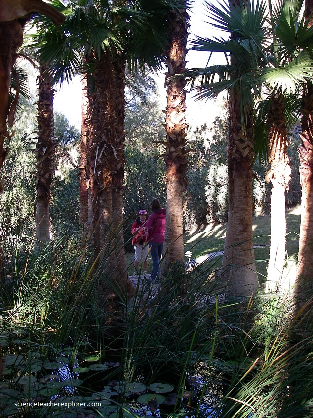
Generous streams of fresh, clear water are not what you would expect in Death Valley. Nevertheless, they provide several thousand gallons per minute, enough to nourish the date groves and visitor facilities at Furnace Creek, (pictured above).
Pictured above, the water in these springs comes from inter-mountain basins east of Death Valley. Since groundwater levels there are higher, and since the intervening mountains are honeycombed with fractures and crevices, the water slowly seeps through the mountains and into Death Valley, where it wells up along Grand View Fault. On its trip through the ranges it is warmed to about 104 degree Fahrenheit.
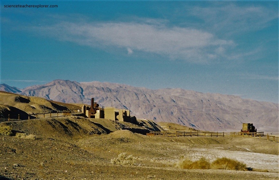
Pictured above, Death Valley’s borax results from the same process that created the colorful rocks of Golden Canyon: (the leaching of volcanic ash by hot ground water). A chemical salt of the element boron, borax accumulated in lake sediments in layers up to 60 m thick. Later, after faulting and tilting of these lakebeds, some of the borax was re-dissolved and transported by streams to the floor of Death Valley. Concentrated by evaporation, it now remains as part of the crust of the Death Valley salt pan. At the Harmony Borax Works, borax was scraped from the salt pan surface, and then was re-dissolved, purified, and dried before being shipped out of Death Valley in wagons. Borax is used for ceramic glazes and fertilizer, as well as in the manufacture of glass, fiberglass, solder, water softeners, and pharmaceuticals.
Pictured above, a couple of miles south of Echo Canyon, not far from Furnace Creek, an old dirt backroad leads into the Funeral Mountains. A few kilometers up the canyon, the road goes through a gigantic slice in the rocks, and suddenly there are walls 120 meters high on either side of our vehicles. This ancient sediment was laid down around a million years ago, and since that time, the forces of nature have pushed them up into a near vertical arrangement. This is called the Hole-in-the-Wall Ridge. Notice the strange erosional features on the ridge.
Pictured above, are clumps of brush four to 3 meters tall that at first glance look like corn-stocks. This is arrow-weed whose straight stems were sometimes used by Indians for arrow shafts.
Pictured above, when rainfall has been above average, the Devil’s Cornfield becomes a saline marsh, and even during long dry spells salty ground water is not far beneath the surface. Arrow-weed thrives where its roots can reach water that contains 0.5-0.3 % dissolved salts, far above the limit for drinking water. When the ground is dry, wind slowly removes sand and soil, leaving the older bases of the arrow-weed clumps perched above the present surface.
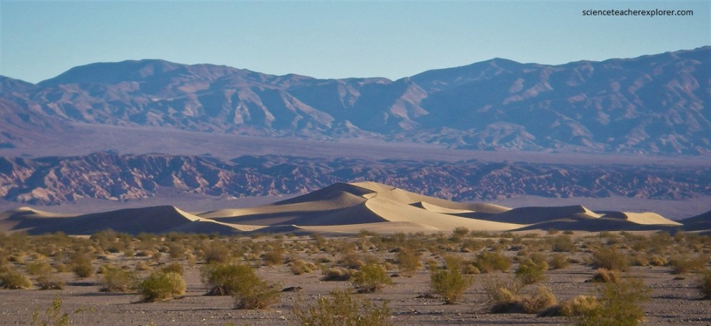
Pictured above, the Mesquite Dunes are low mounds or ridges of windblown sand the move like waves in the wind. The wind transports sand grains in three ways: by rolling or sliding them along the ground, by making them hop, and by impacts of hopping grains as they come back to the ground and hit surface grains, sending them jerkily creeping over the ground. Hopping is by far the most effective and efficient mode of transport for sand, but impact creep enables wind to transport larger particles than it can move either by hopping or rolling. Windblown sand does not travel in suspension; it hugs the ground.
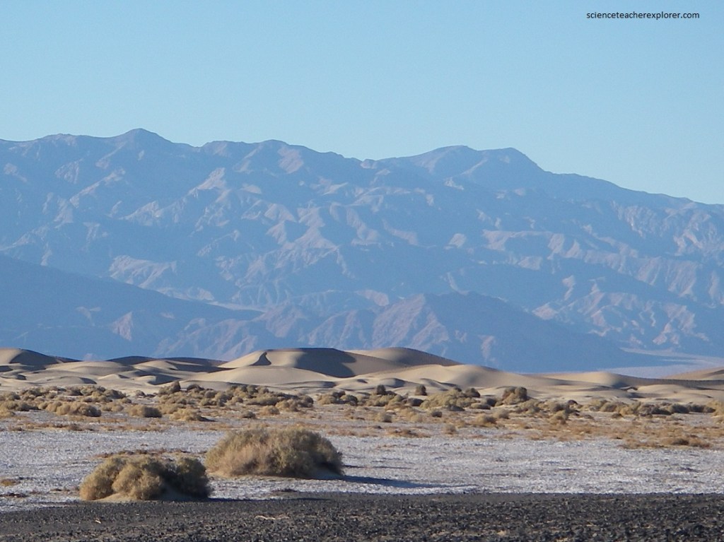
Pictured above, much of the dune sand, derived from the granite and quartzite exposed in the Cottonwood Mountains, (NW of the dunes), via Cottonwood Canyon & Mesquite Flat. Most of the sand is quartz, hard and durable, though there are also grains of feldspar, calcite, and mica. Winnowed from alluvial fan gravels, the sand is swept and bounced along the fan surface or during particularly strong storms, lifted and carried slightly above the ground. At the same time it is sorted and concentrated. [Coarser, heavier sand and pebbles are left behind in windward parts of the dunes, and finer clay grains are blown skyward as dust]. The sand accumulates where winds lessen in velocity or, meeting other winds that sweep in from the northwest, and break up into eddies.
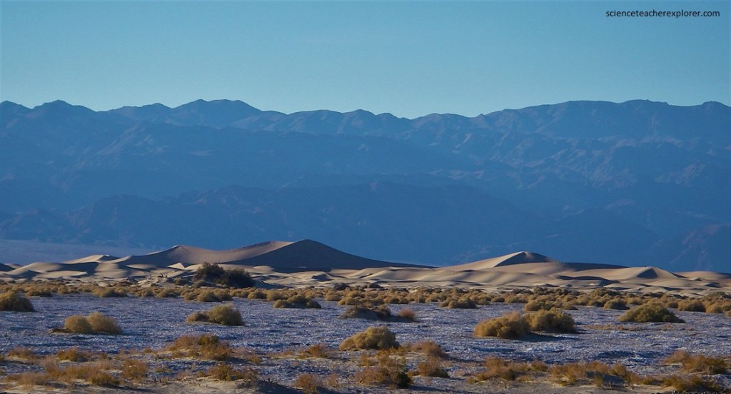
Pictured above, since sand is swept from windward surfaces and redeposited on leeward faces, you would expect the dune field to continue to migrate downwind. However, seasonal variations in wind direction, (west-northerly in winter, west-southerly in summer), balance out, and these dunes remain in just about the same place from year to year. Individual dune ridges do, however, move and change with time.
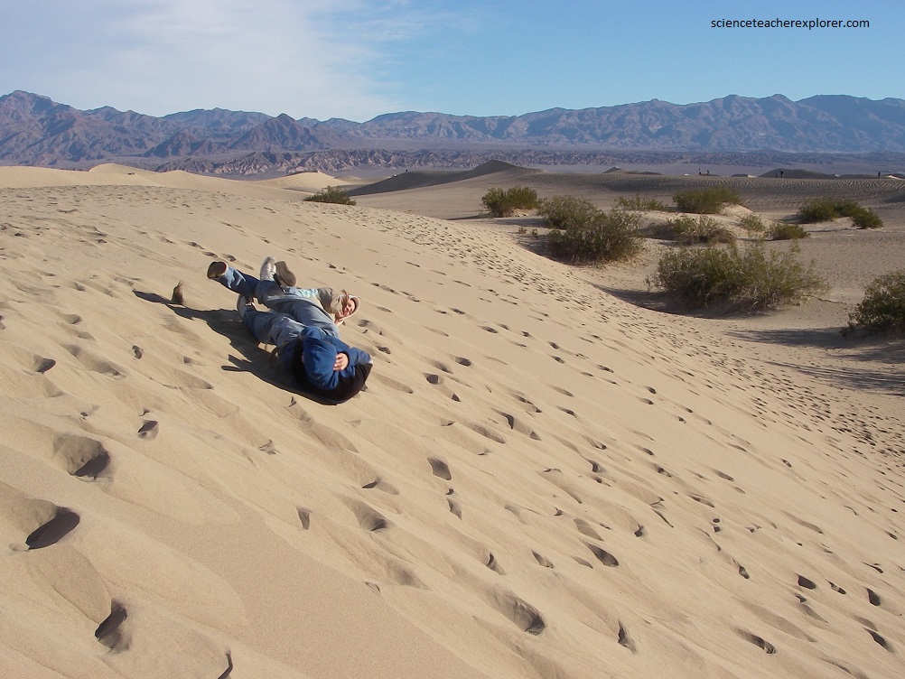
Pictured above, as the wind bounces the grains of sand along into a drift, the cornice of the drift keeps collapsing into a steep slope the slip face. That sliding slope is called the “angle of repose”, which for sand is about 30-35 degrees. The bush nestled in clumps among the lower dunes are mesquite. Their roots reach down through the dry sand into mildly saline ground water. Seed from the mesquite feed animals within the dunes.
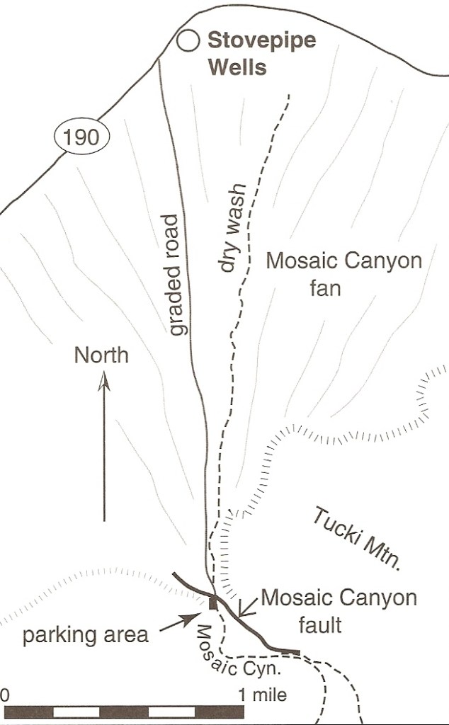
Imaged above, Mosaic Canyon lies on the north flank of Tucki Mountain, at the north end of the Panamint Mountains. You can enter a parking area from a graveled road, west of Stovepipe Wells. Marked by an old piece of stovepipe sticking up beside the hand-dug well, Stovepipe Wells had long been used by travelers as a source of precious water in the northern part of Death Valley.
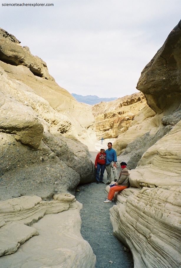
Pictured above, Mosaic Canyon’s name comes from stream-polished patches of spectacular breccias, (accumulations of angular rock fragments or conglomerate embedded in a finer breccias), preserved on the walls of this narrow slot. Breccias can be of several origins; these are sedimentary deposits, the mot striking consisting of angular, tan dolomite fragments embedded in a carbonate-sand matrix.
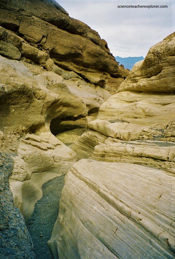
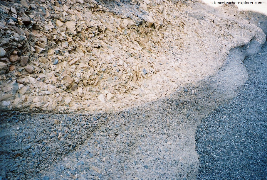
Pictured above and below, the predominant bedrock of the lower Mosaic Canyon is the firm, homogeneous, massive to well-bedded Pre-Cambrian Noonday dolomite, about 700 million years old. The dolomite breccias are impressive, but the more engrossing geologic story in the lower canyon involves alternating episodes of filling in and scouring out of well-cemented rock debris in the bottom 13 meters of the rock gorge.
A walk into Mosaic Canyon is a walk along a detachment fault, where a detached block of Paleozoic sedimentary rocks skidded down the side of Tucki Mountain. The slide surface is a weak zone between the Precambrian and Paleozoic rocks. The canyon follows faults that formed when the rocky crust of the Death Valley region began stretching just a few million years ago. Running water scoured away at the fault-weakened rock, gradually carving this remarkable canyon. Overtime, Periodic flash floods carry rocky debris eroded from Mosaic Canyon and the surrounding hillsides toward the valley below and polishing the sides of the gorge.
