Fly Geyser, NV 2021
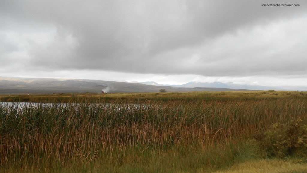
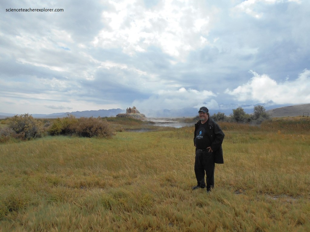
In September of 2021, my wife (Becky) and I decided to explore the amazing rainbow-colored natural wonder called Fly Geyser. The geyser can be seen from the Fly Ranch in Hualapai Flat, about 0.48 km from State Route 34 and about 40 km north of Gerlach, Nevada. It is due east of Black Rock Desert.
Drop-in visits were not permitted, but “Friends of Black Rock-High Rock” hosts weekly nature walks on the property from April to October.
In June 2016, the non-profit Burning Man Project purchased the Fly Ranch property for $6.5 million. Their mission was to protect and restore the habitats found within the 3,800-acre property, which include wetlands, natural springs, sagebrush-grasslands, and playa. So Becky and I made arrangements for a visit.
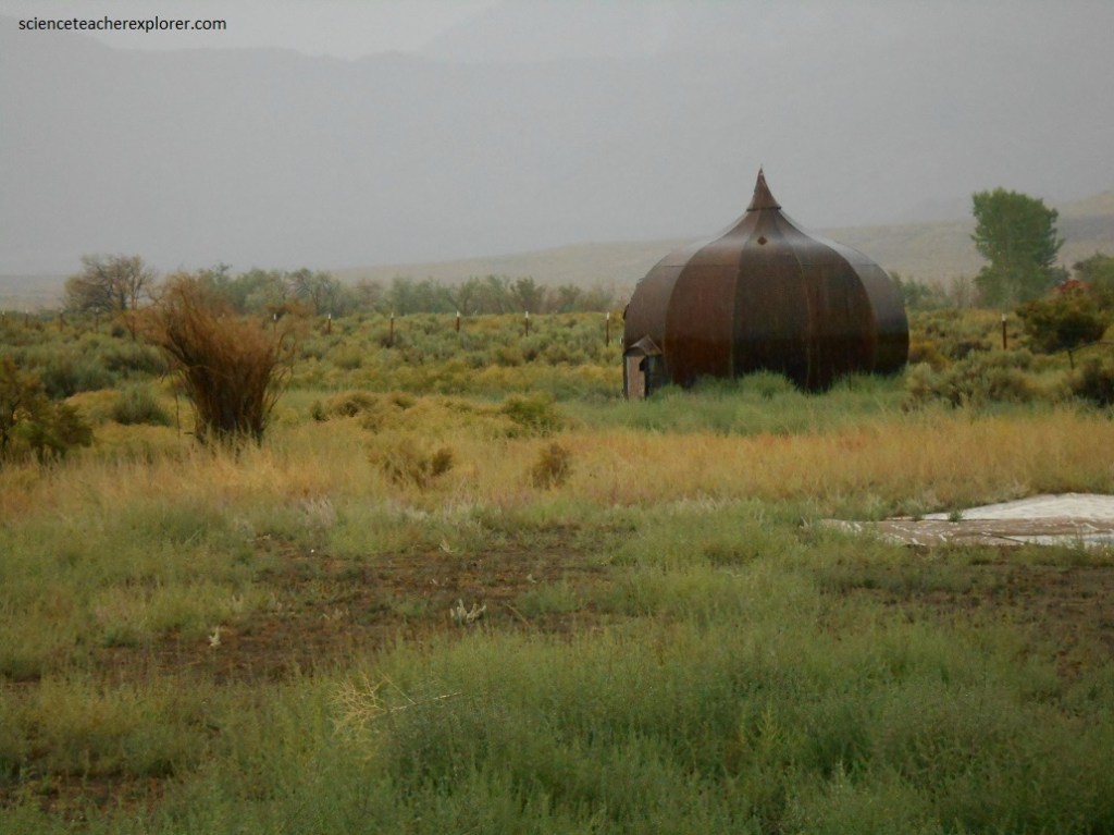

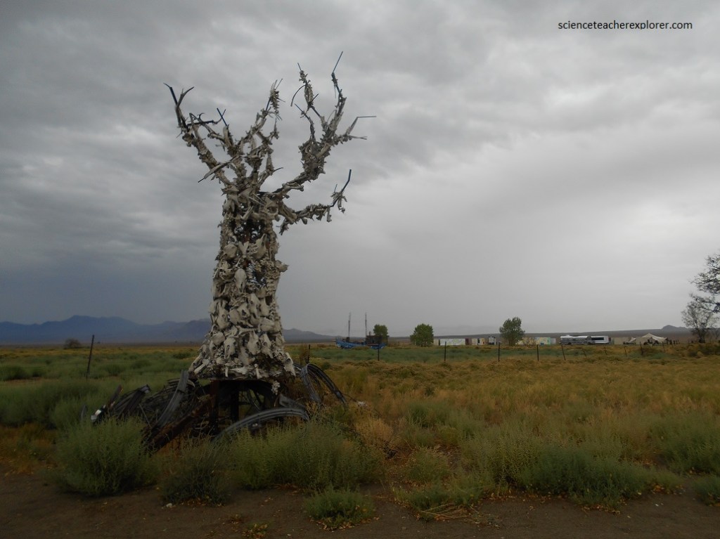
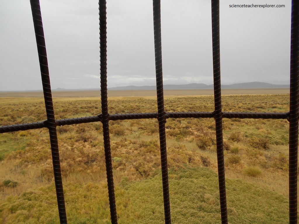
One of the most interesting structures found on Fly Ranch is the architectural wonder of a “BaBa Yaga”, (image above). Pictured below is a “BaBa Yaga” on Fly Ranch 2021.
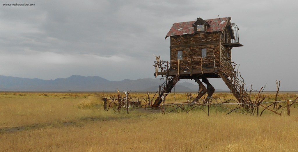
Baba Yaga, also spelled Baba Jaga, in Slavic folklore, an ogress who steals, cooks, and eats her victims, usually children. A guardian of the fountains of the water of life (the fly-geyser), she lives with two or three sisters (all known as Baba Yaga) in a hut that spins continually on birds’ legs.
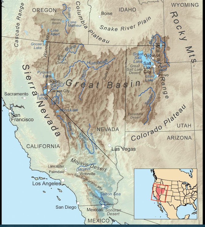
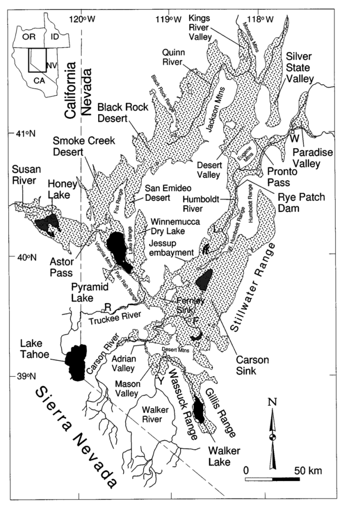
The Fly Ranch is part of the “Basin and Range” province of the Western United States. The Basin and Range is a vast province of isolated mountain ranges set between broad desert basins. It stretches from eastern Oregon south into Mexico, and from the eastern front of the Sierra Nevada to the Wasatch Front in Utah. The part that embraces most of Nevada and western Utah is the Great Basin. It includes the part of Northern Nevada east of the Sierra Nevada crest and east of the Modoc Mountains, in the northeastern corner of California, (Northwest corner of Nevada).
Since the middle Miocene time, during the past 16 million or so years, the continental crust in the Basin and Range has stretched from east to west and has greatly thinned. The mountains rose and the basins sank as the earth’s crust between them stretched. No one know exactly how far the region has stretched, but most scientists estimate that it is now at least twice as wide as it was.
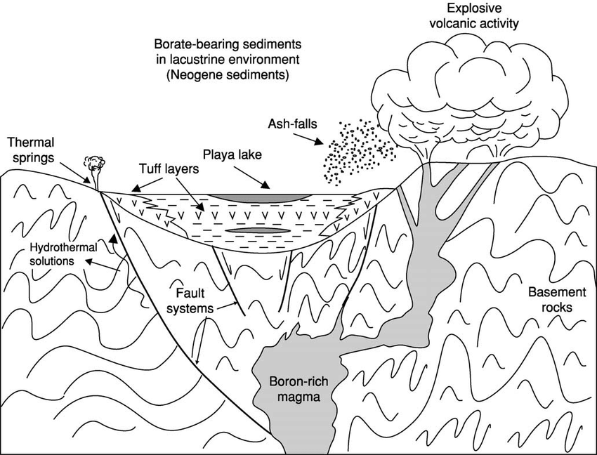
Instead of steeply inclined faults, (seen in the figure above), the slices of the upper continental crust move along curving faults. The part of the fault exposed at the surface does indeed dip steeply into the earth, but it flattens with depth to make a surface, so one side rises to become a mountain range, while the other sinks to become a basin. Most of the fault slices in the western part of the northern Basin and Range appear to have moved east, while those in the eastern part moved west.
The Black Rock Desert was at one point a large inland sea now known as Lake Lahontan! Lake Lahontan, (Pleistocene 12,700 years ago) would have stretched from northwestern Nevada into eastern California and into southern Oregon. At it’s peak, this great sea would have stretched about 22,100 square kilometers and been about 300 meters deep at it’s deepest point.
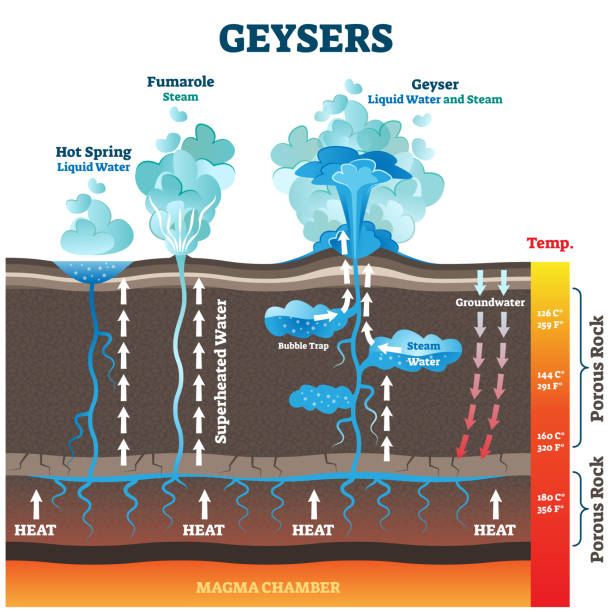
There are three geysers on the property. The first, known as The Wizard, was created more than 100 years ago, during an effort to make the desert usable for farming. While drilling a well, workers hit geothermal water that was about 200 degrees Fahrenheit. Because the water was not suitable for agricultural use, this geyser was left alone. A 3 meter calcium carbonate cone formed as a result of the water’s mineral content.
In 1964, a geothermic energy company drilled a test well at the same site. They struck the same water, which was hot, but not hot enough for their purposes. The well was supposedly re-sealed, but apparently, the cap did not hold. A new, larger geyser emerged a hundred meters north of the original. Robbed of its water pressure, the older cone remains active, but at a substantially reduced rate.
This second geyser, now known as Fly Geyser, has grown as minerals from the water have been deposited on the desert surface. It has multiple cone-shaped openings that measure up to 2 meters tall, and sits on a tall mound.
The third geyser, known as Will’s Geyser, discovered in 2006, is believed to be of natural origin. This volcanic shaped formation grows at a rate of 15 centimeters per year.
Because there are multiple geyser spouts, the “Will’s” fly geyser has not created a cone as large as the first, but instead an ever-growing alien-looking mound that shoots water up to 1.5 meters in the air.
The geyser is covered with mineral deposits and thermophilic algae, which flourishes in moist, hot environments. The combination has led to multiple hues of green and red that add to its out-of-this-world appearance.
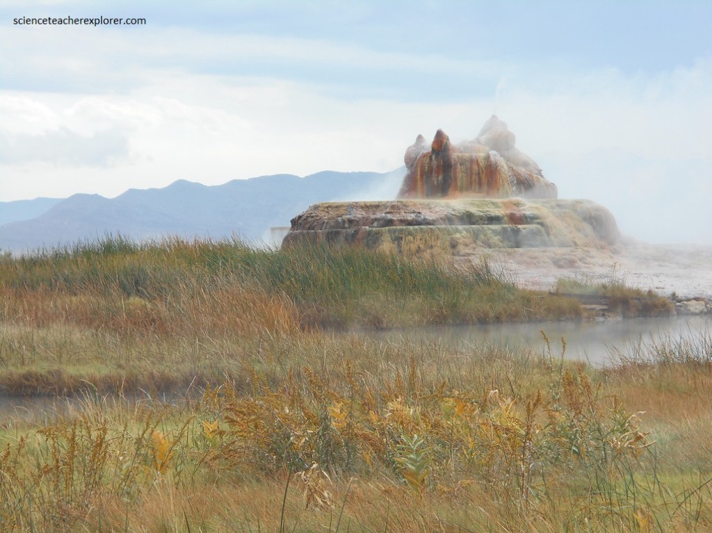
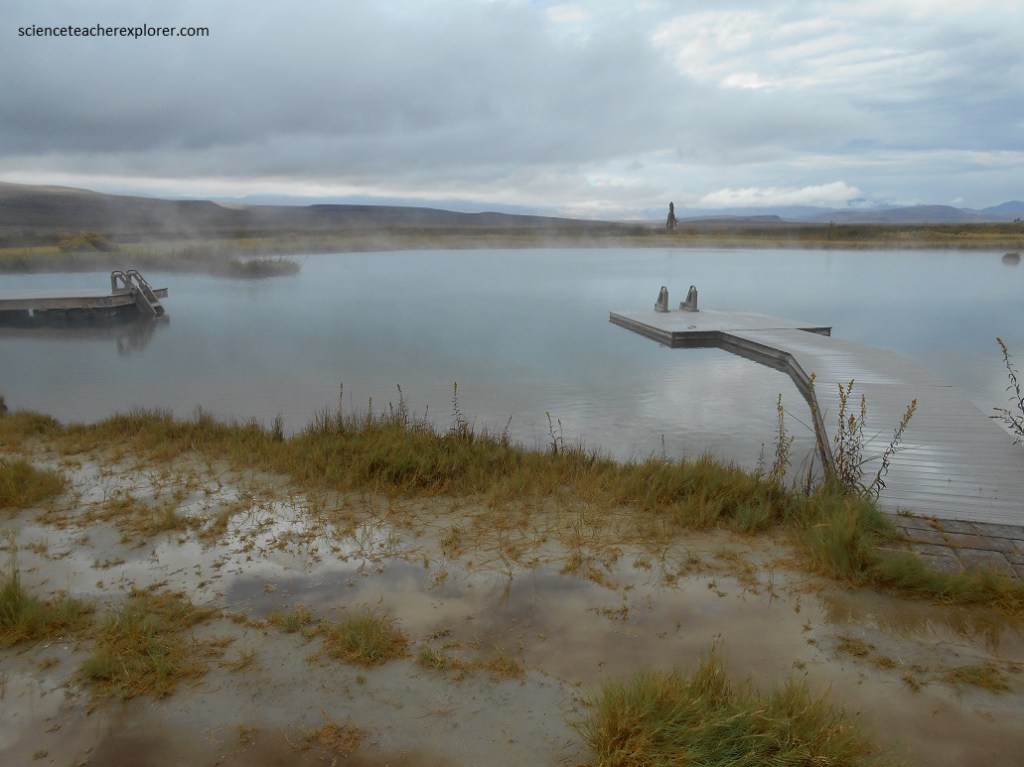
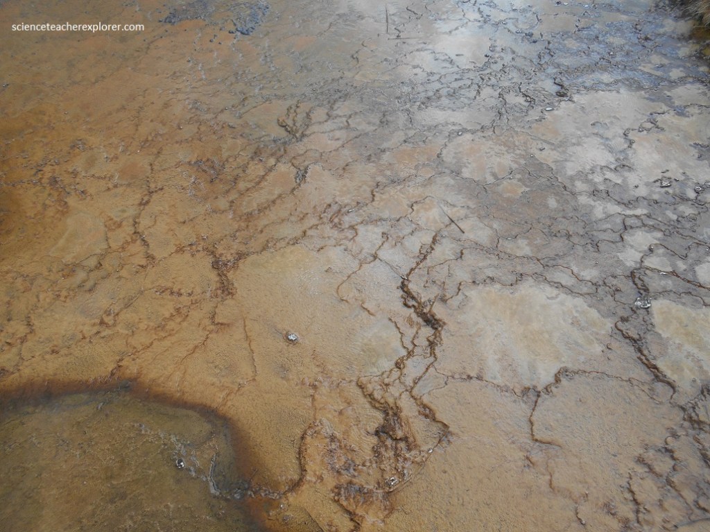
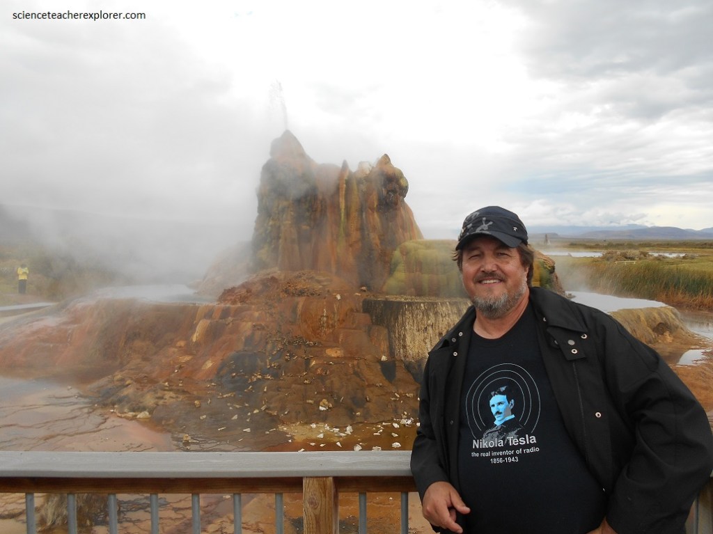
Dissolved minerals in the water, including calcium carbonate and silica, accumulated, creating the cones and travertine pools. Pictured below, the geyser has formed several travertine terraces, creating 30 to 40 pools over an area of 74 acres.
While Becky and I were there, the geyser had multiple conic openings sitting on a mound: the cones are about 1.8 m, and the entire mound is 7.6 to 9.1 meters.
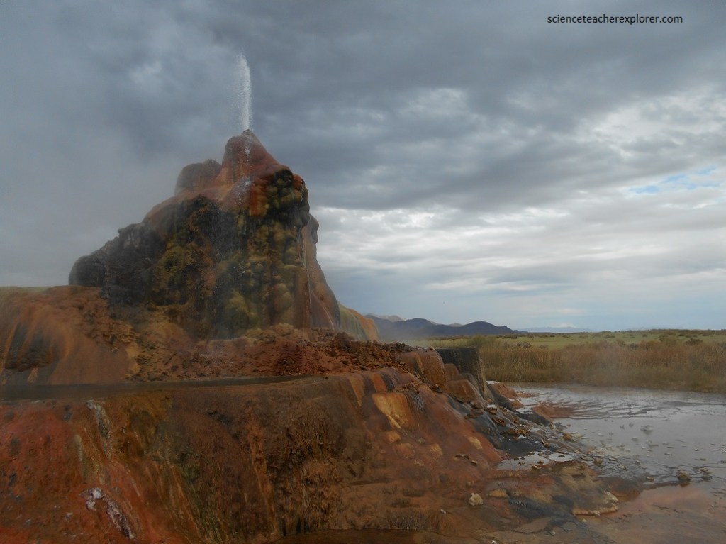
The source of the Fly Geyser field’s heat is attributed to a very deep pool of hot rock where tectonic rifting and faulting are common. The geyser contains “a really high amount of silica.” The silica combined with the temperature has caused quartz to form inside the geyser extraordinarily quickly.
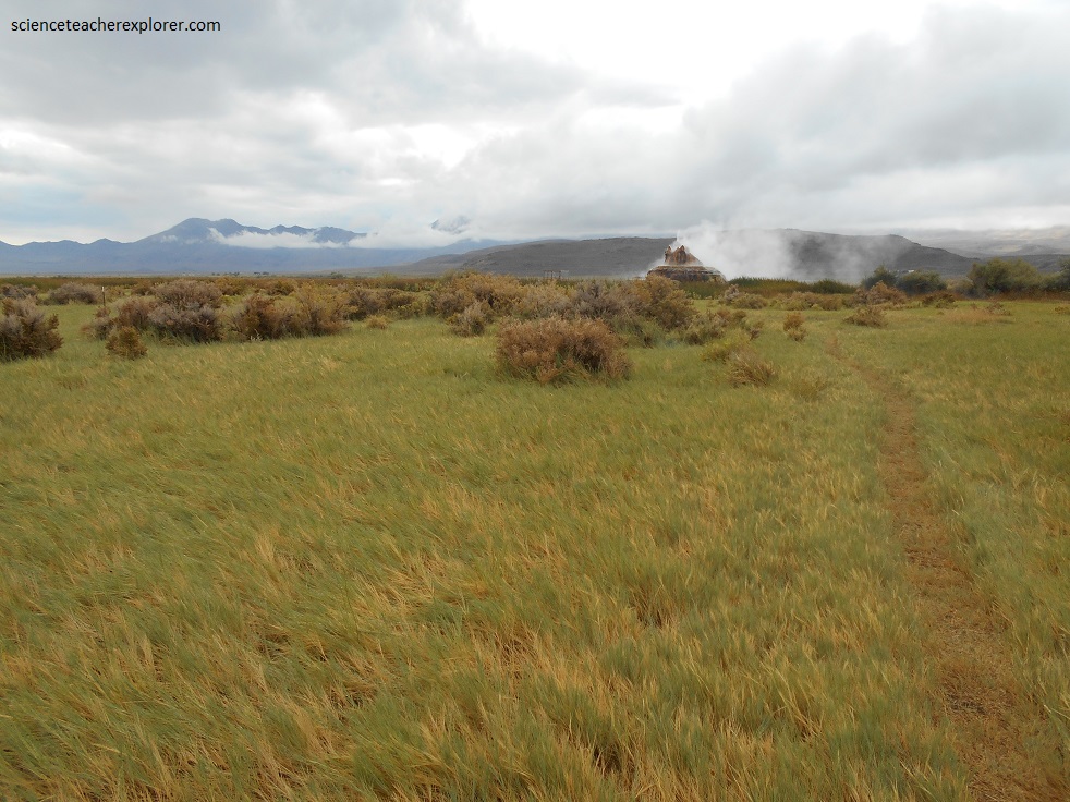
Behold the colorful spouting splendor of the Fly Geyser, located near the edge of Fly Reservoir in the Hualapai Geothermal Flats.
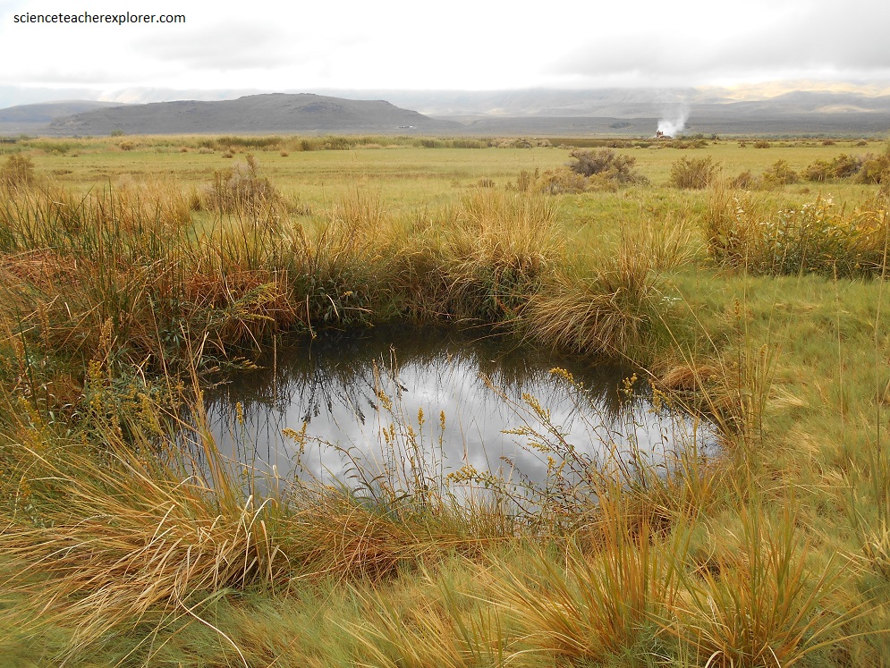
While walking back to our car, we discovered this small hole on “Fly Ranch”, pictured below.
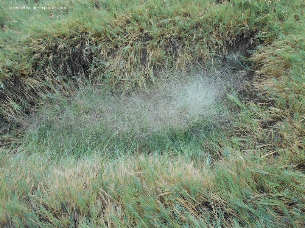
Pictured above, Indian rice-grass (Oryzopsis hymenoides), as its name implies, was a staple in the diet of Native Americans. This abundant, perennial grass prefers the dry, sandy and silty soils of the desert and high plains. Its growth cycle begins in early spring and by mid-summer, the protein-rich seeds are ripe. Indian rice-grass is one of the desert’s most drought-resistant species and it provides valuable forage for livestock and wildlife, especially during the lean winter months. Local Native Americans harvested the seeds, flash-burned or roasted them, and then winnowed the chaff by tossing the seed heads in the air. This store of grain was ground into flour and saved for winter.
