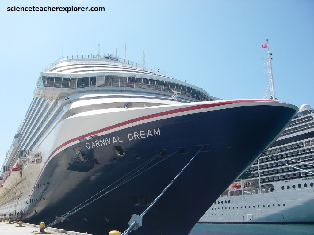
Bahama Cruise 2024
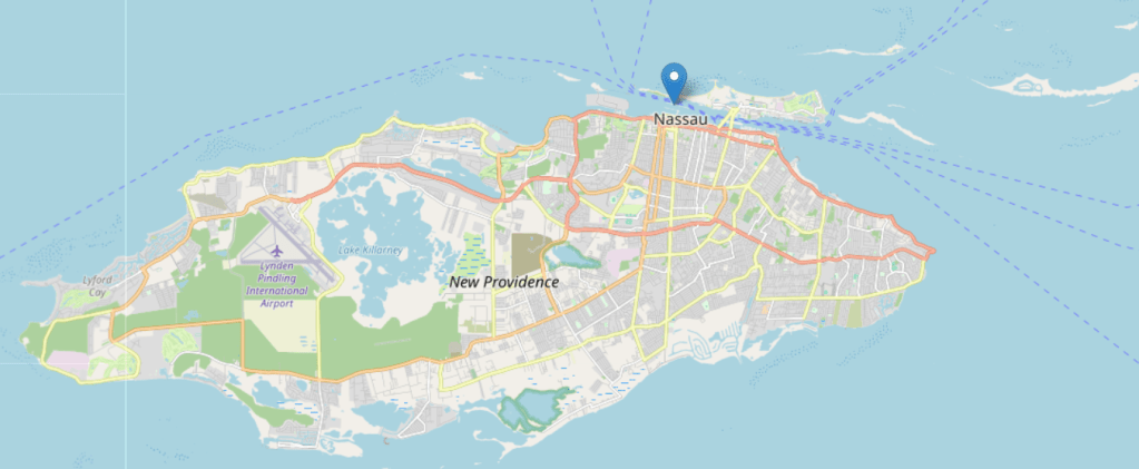
In the Spring of 2024, Becky (my wife) and I booked a cruise with friends to the Bahamas and back from Galveston, Texas, (image below).
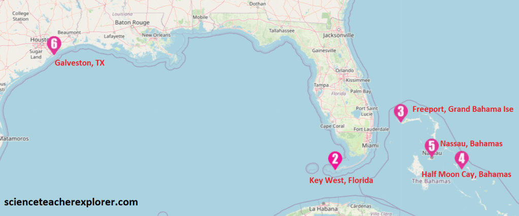
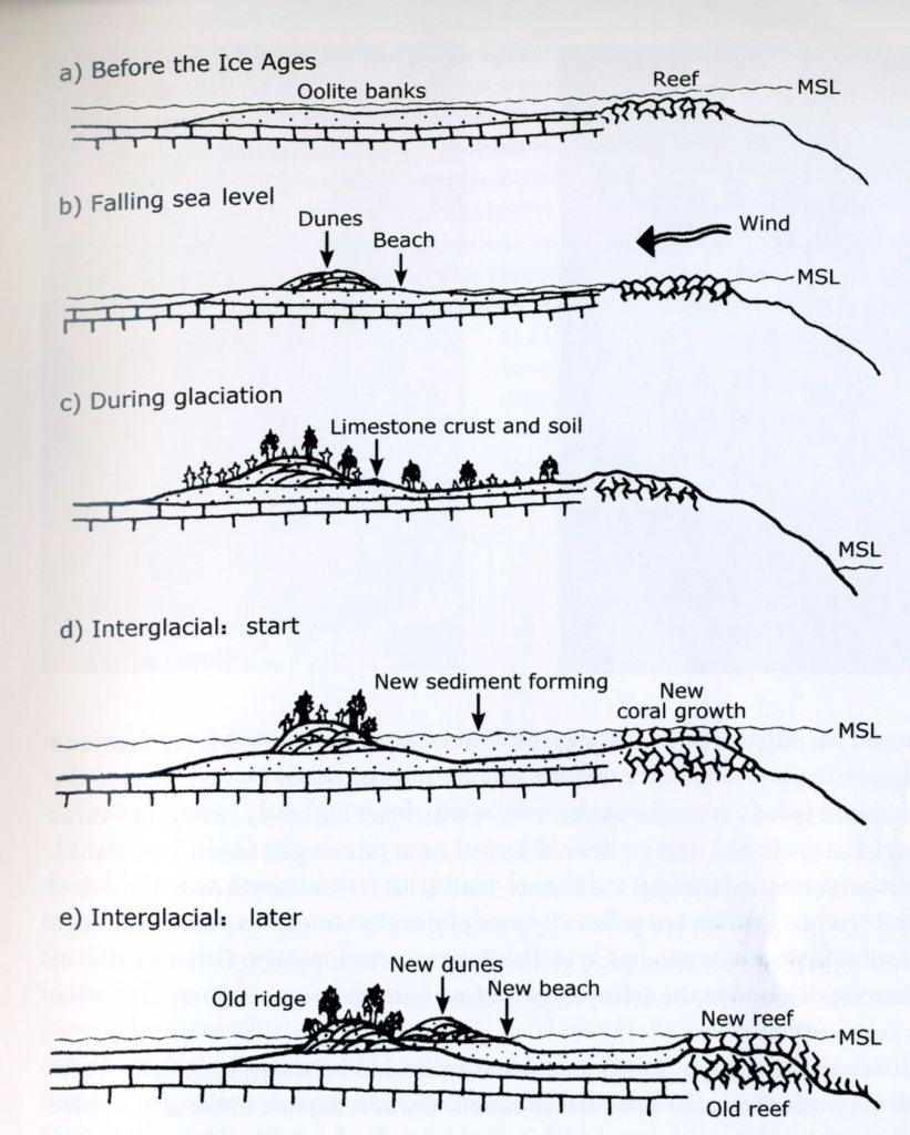
As mentioned, we started and ended our cruise in Galveston, Texas. Our first stop was the Florida Keys. The Florida Keys form a crescentic chain of small limestone islands which extend from near Miami to Key West, a distance of about 240km. The Florida Keys have taken their present form as the result of the drastic changes in sea level associated with a glaciation period beginning some 130,000 years ago. This “ice age” raised sea levels about 7.6 m above the current level. All of southern Florida was covered by a shallow sea. Several parallel lines of reef formed along the edge of the submerged Florida Platform, stretching south and then west from the present-day Miami area to what is now the Dry Tortugas. This reef formed the Key Largo Limestone that is exposed on the surface from Soldier Key to the southeast portion of the Big Pine Key (imaged below).
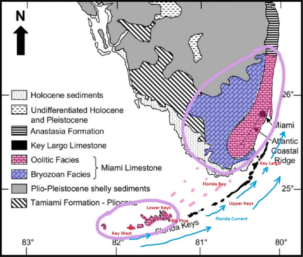
The types of coral that formed the Key Largo Limestone can be identified on the exposed surface of these keys. However, minor fluctuations in sea level exposed parts of the reef, subjecting it to erosion. Acidic water, which can result from decaying vegetation, dissolves limestone. Some of the dissolved limestone redeposited as a denser “cap rock”, which can be seen as outcrops overlying the Key Largo and Miami limestones throughout the Keys. The limestone that eroded from the reef formed oolites in the shallow sea behind the reef, and together with the skeletal remains of bryozoans, formed the Miami Limestone that is the current surface bedrock of the lower Florida peninsula and the lower keys from Big Pine Key to Key West. Note that the islands of the upper and middle keys, consisting of Key Largo Limestone, form a long narrow arc, and the islands of the lower keys are perpendicular to the line of that arc. This configuration arose from an ancient tidal-bar system, in which tidal channels cut through a submerged oolitic deposits. The bars lithified into Miami Limestone, and form islands, like Key West. We stopped for the day at Key West to trek-around.
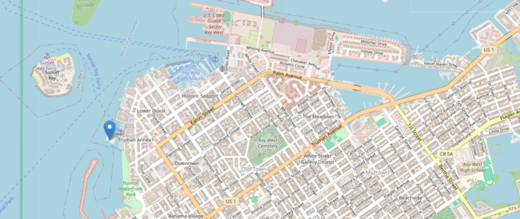
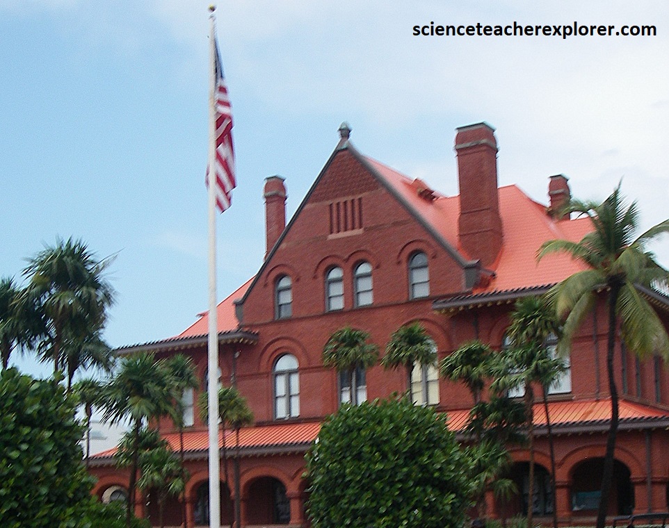
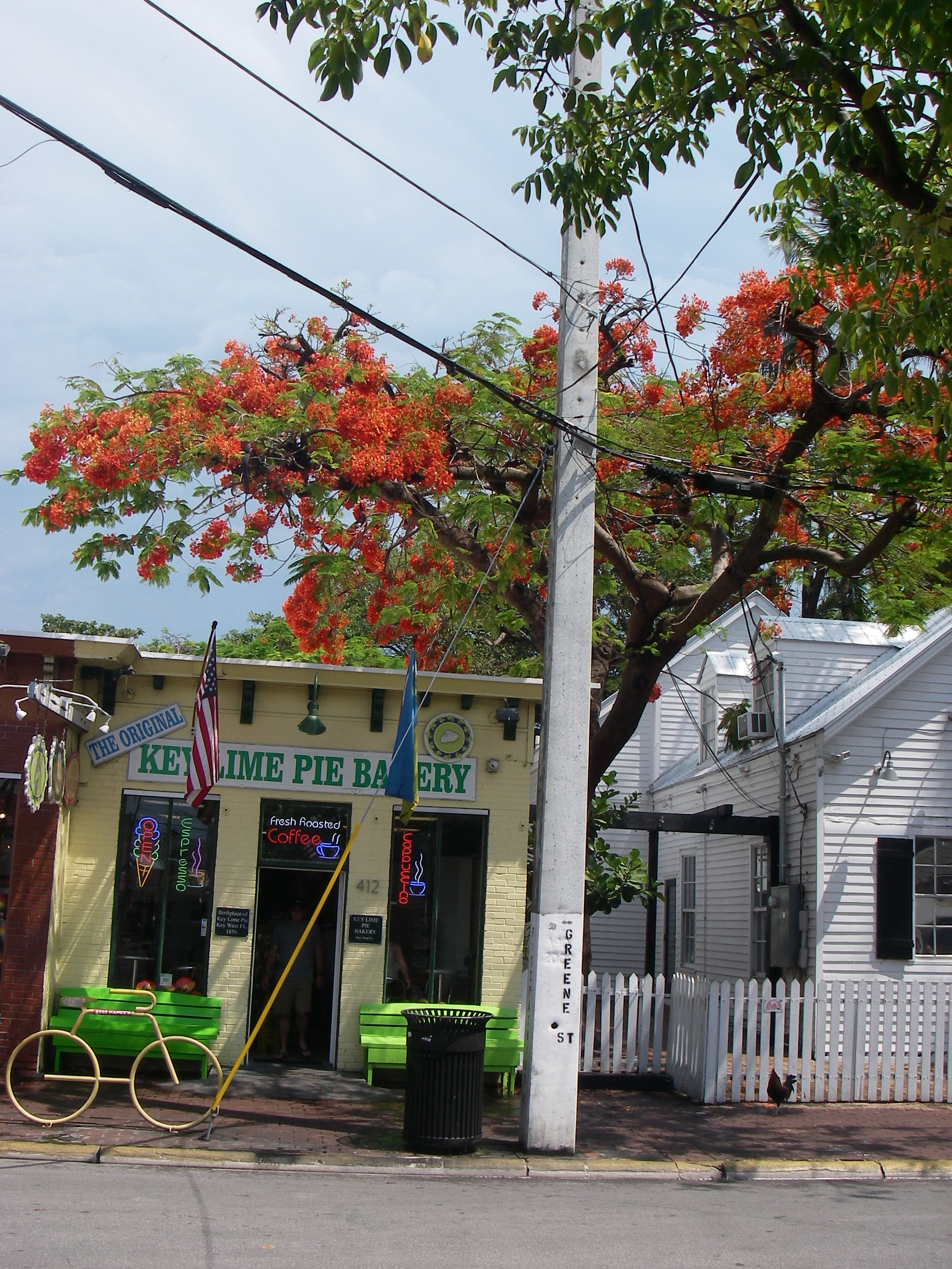
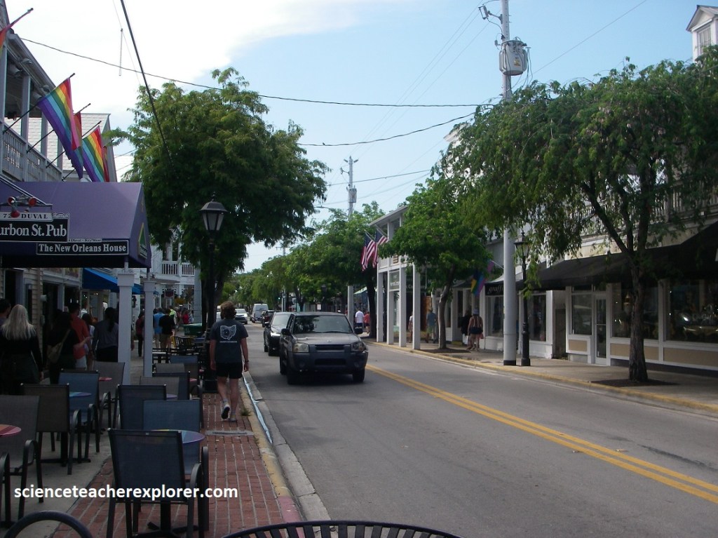
From the port, our group trekked across the front of the Custom House and up Green Street to the the world famous Duval Street. Along the way we stopped and had a delicious Key-Lime Pie.
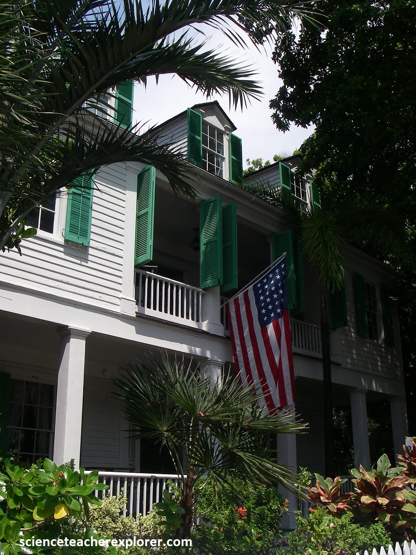
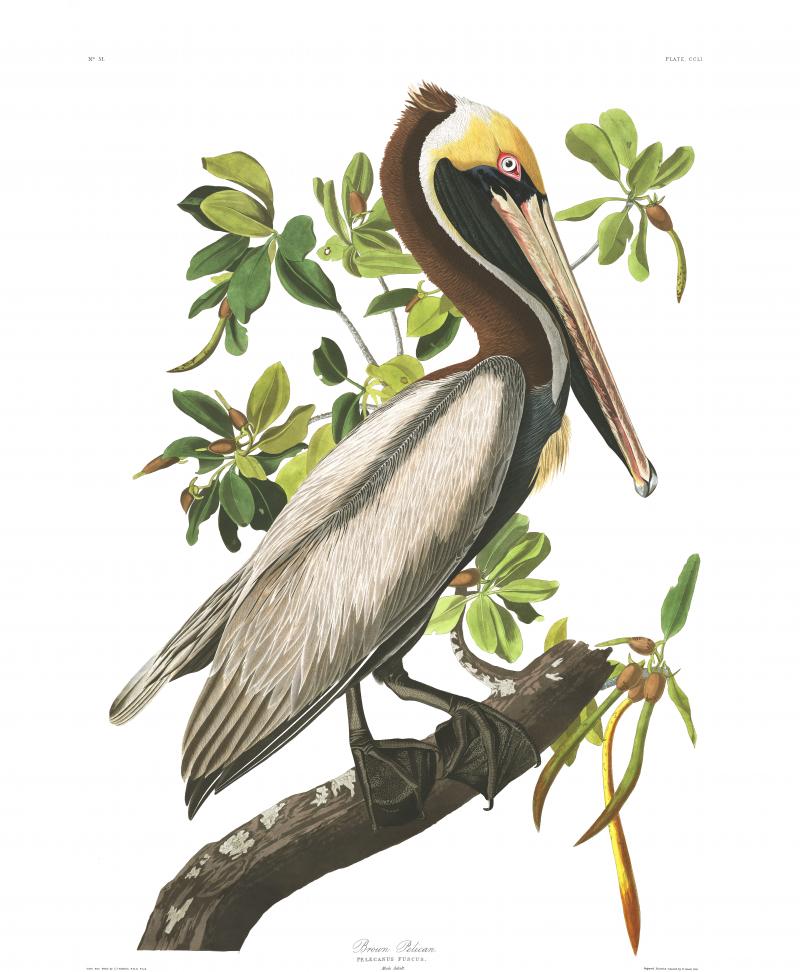
Also along the way on Green Street, I noticed an interesting and historical mansion called the Audubon House, (pictured below). Captain John H. Geiger, skilled pilot and master wreckeer, built this house in 1830. It was typical of the era when, in 1832, the famed naturalist, John James Audubon, visited Key West to study and sketch the birds of the Florida Keys and bought this house to live in. It is now a museum that proudly exhibits numerous original Audubon engravings, like the one of the “Brown Pelican” seen below.
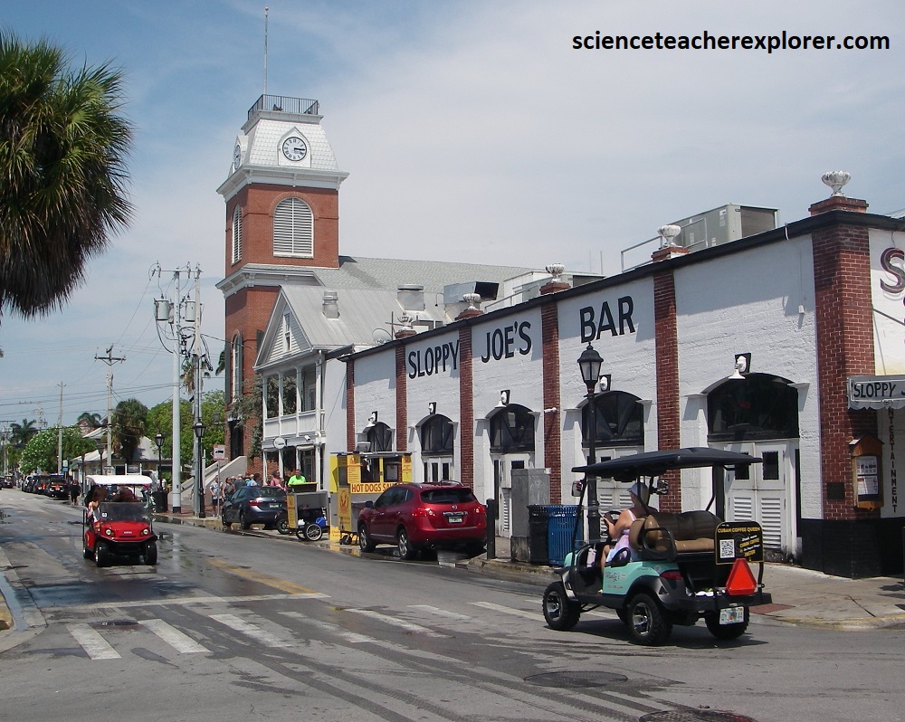
Eventually, our group turned down Duval Street. Duval Street is Key West’s iconic main street, a lively thoroughfare known for it’s vibrant nightlife, shops, restaurants, and attraction. I actually stretches from the Gulf of Mexico to Atlantic Ocean and is a major hub for entertainments and tourism, with popular spots like “Sloppy Joe’s” and many other bars and venues.
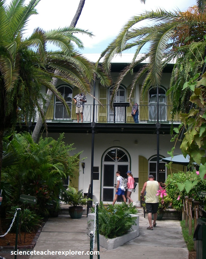
Our goal destination for the day was to trek to the Ernest Hemingway Home & Museum. There was actually a small Hemingway Cottage on Duval Street, that he rented. However, the he eventually purchased a house on the Whitehead Street, (one block away). Ernst Hemingway (July 21, 1899 – July 2, 1961) was an American novelist, short-story writer and journalist. Known for an economical, understated style that influenced later 20th-century writers, he has been romanticized for his adventurous lifestyle and outspoken, blunt public image. Some of his seven novels, six short-story collections and two non-fiction works have become classics of American literature (i.e. A Farewell to Arms & For Whom the Bell Tolls), and he was awarded the 1954 Novel Prize in Literature for “Old Man and the Sea”.
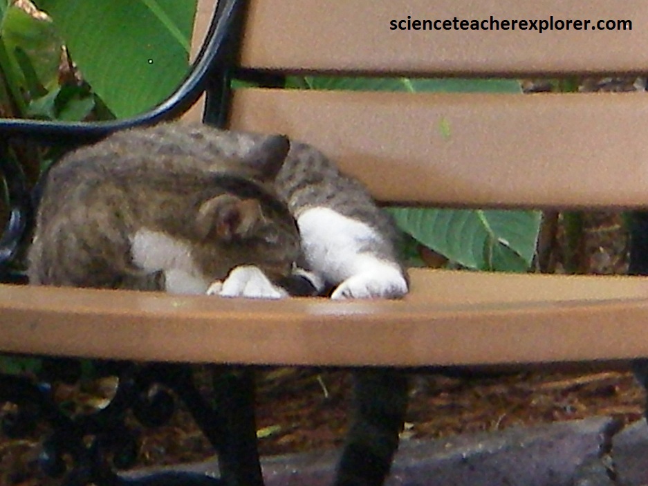
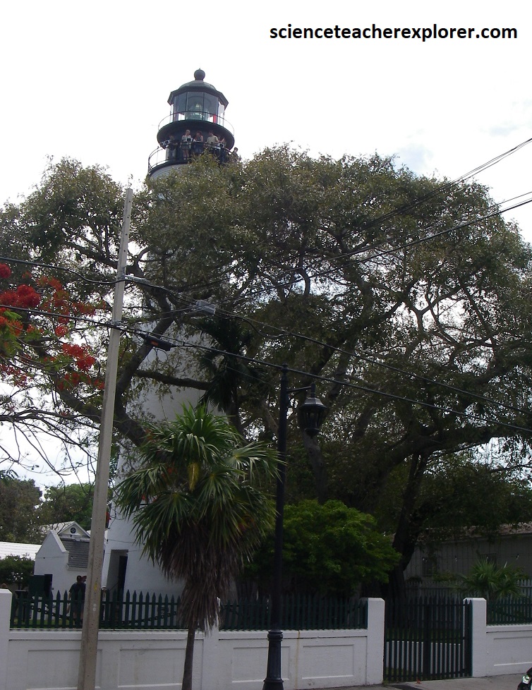
My main interest of visiting the Hemingway House was to visit the cats, (pictured above). Ernest Hemingway was given a white six-toed cat by a ship’s captain and that the majority of the cats who live on the museum grounds are descendants of that original cat, named Snow White. So this is home to nearly 60 polydactyl (six-toed) cats. Cats normally have five front toes and four back toes, but the cats at the museum have the physical polydactyl in their DNA. (Note the above photo on the right is of the Key West Light House across the street).
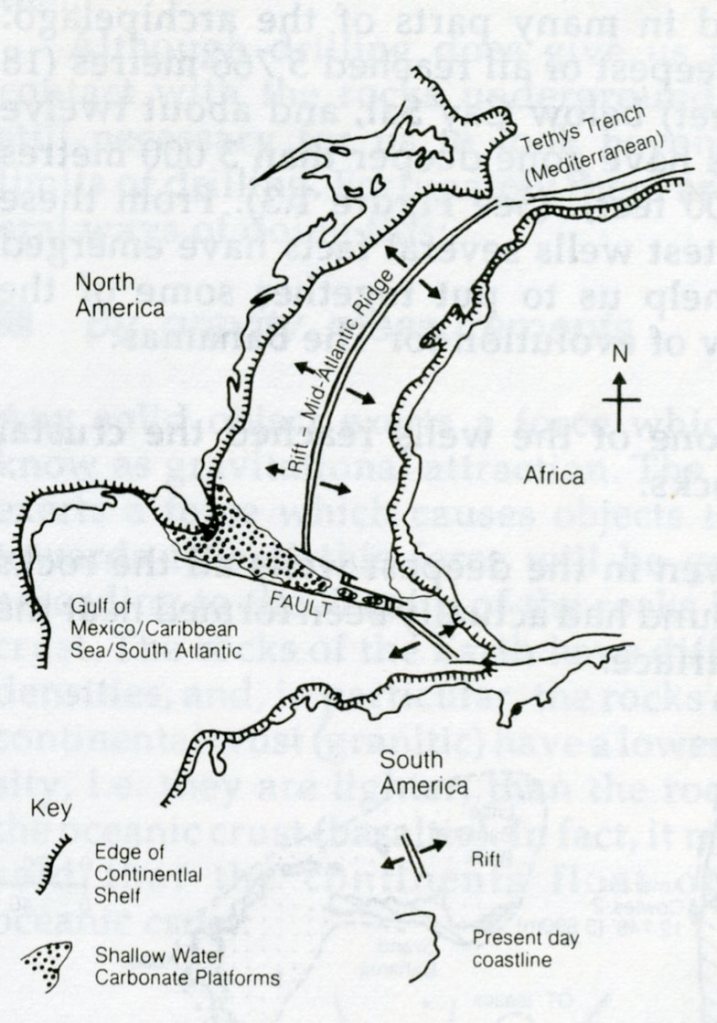
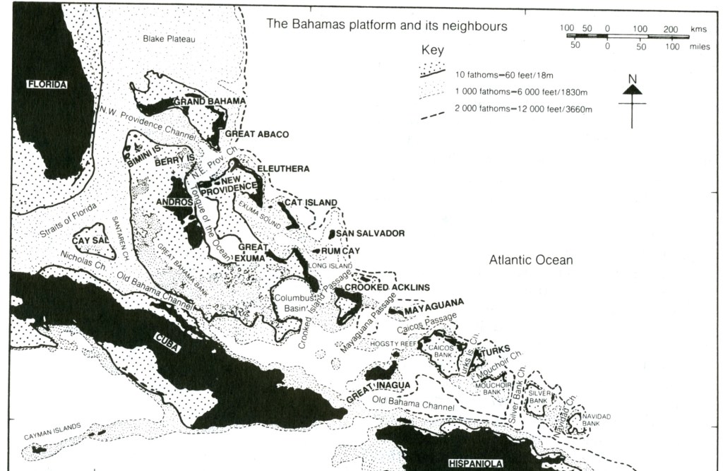
Our next destination for the cruise stop was in the Bahama Archipelago. Scientists believe that the Bahamas Islands were originally formed millions of years ago when the earth’s single continent, Pangea, broke apart. The subsequent collision between the North American and Caribbean plates formed the basement rocks upon which the archipelago now rests, (imaged above).
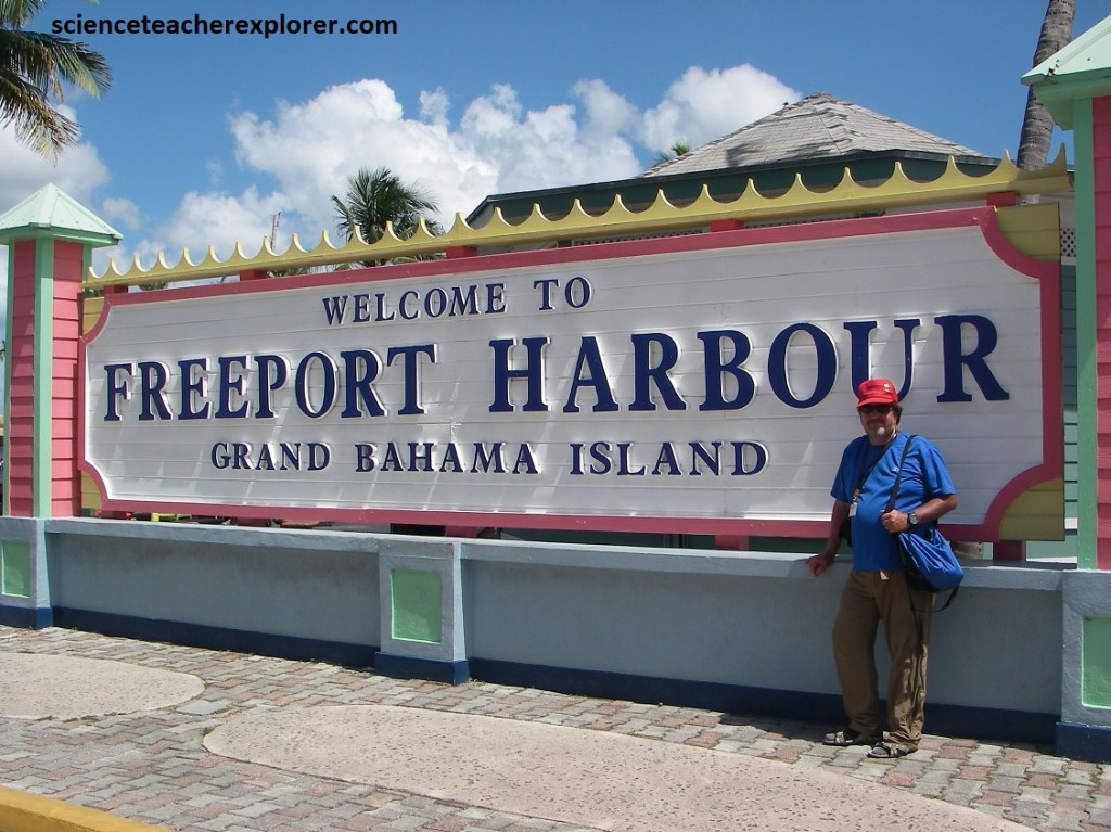
Our next stop was at the Grand Bahama Island in Freeport. Grand Bahama’s geology is primarily characterized by a (Pleistocene-era) limestone, a type of rock formed from the disintegration of coral reefs and seashells. This limestone is a result of chemical processes occurring in the shallow waters of the Bahama Banks, where oolites (small, round grains) and shell detritus accumulate. The island’s landform is generally flat, with a maximum elevation of about 16.7m, and much of the oolite was formed underwater on the Bank.
Imaged above, the Grand Bahama has a steep southern slope towards the direction of the prevailing winds and currents and a long flat slope from the crest of the island far out into the sea on the leeward, or northern side, where the water is extremely shallow and extensive broken limestone beaches have formed. This broken limestone is called marls, which are calcareous muds, limes and clays continually washed by tidal action. They are organic and can be leeched to support plant life and is called, “The Gap National Park.
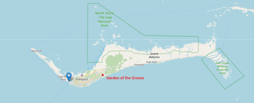
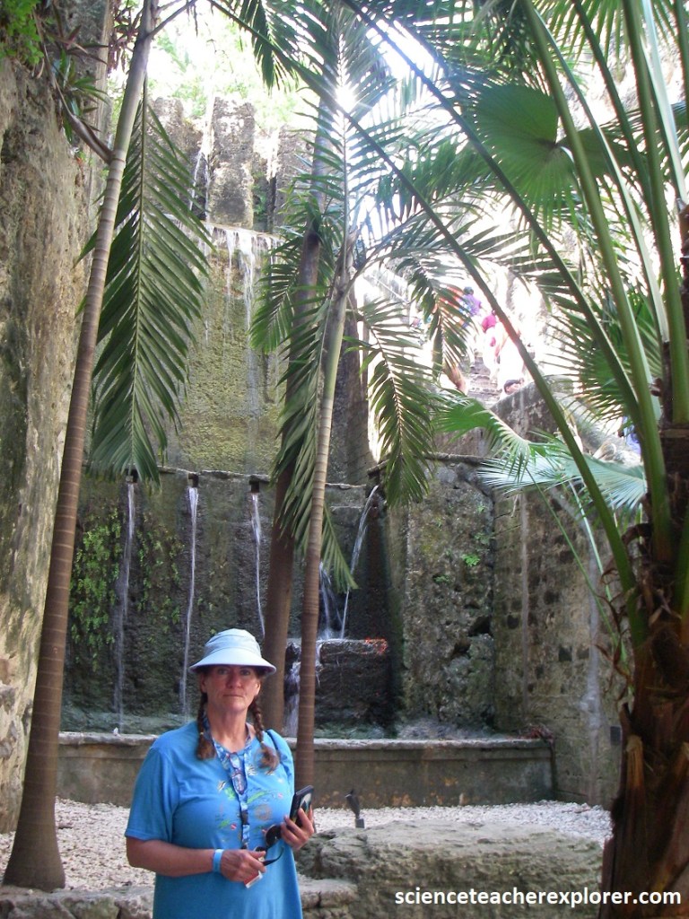
My traveling group had decided to explore the “Garden of the Groves” on the southern edge of the Grand Bahamas.
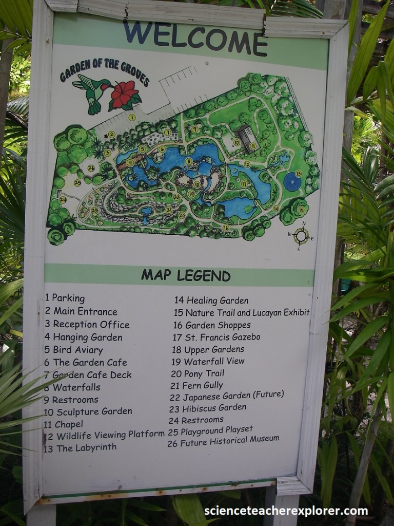
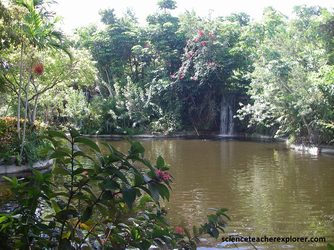
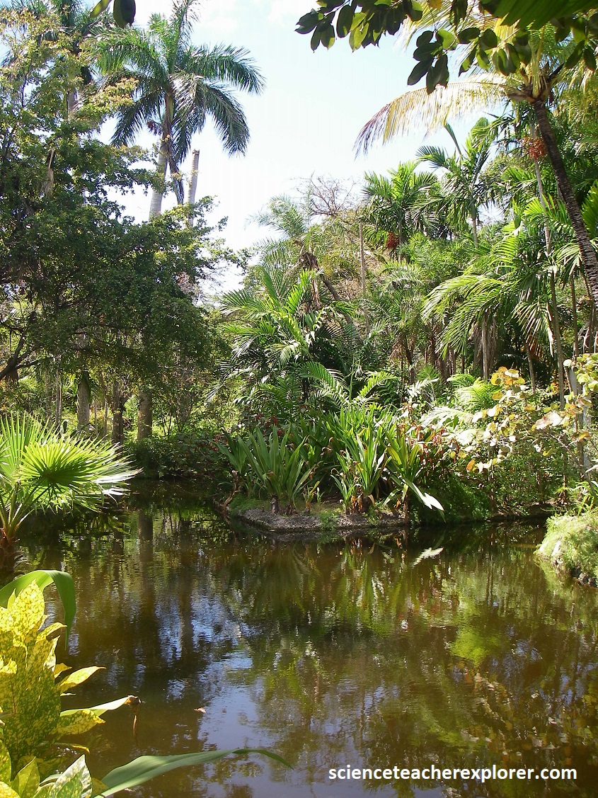
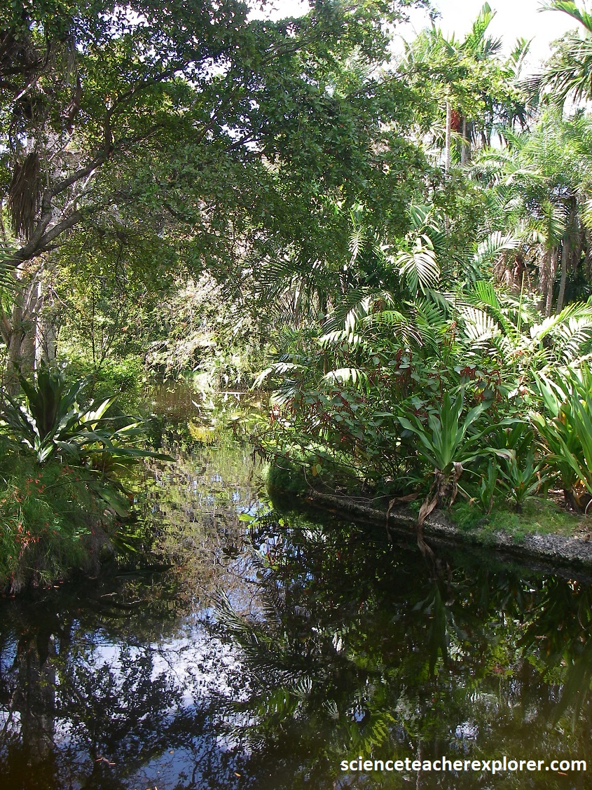
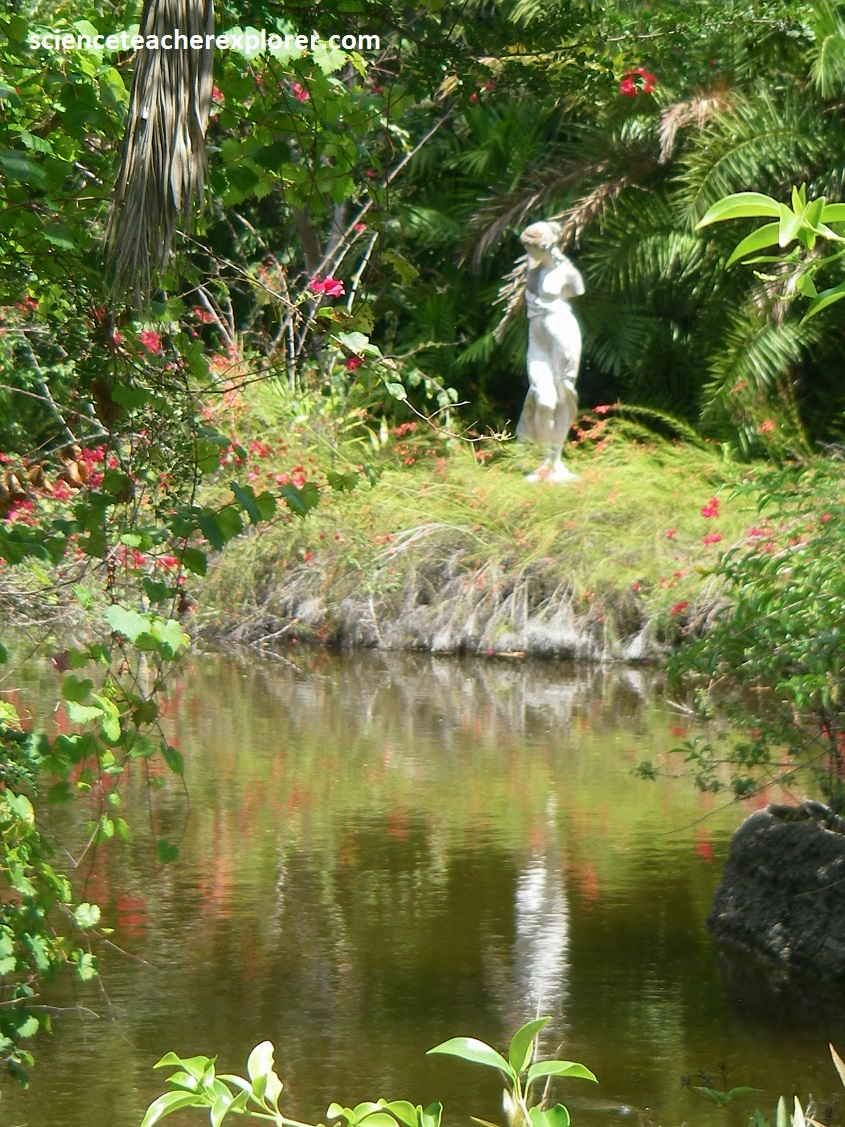
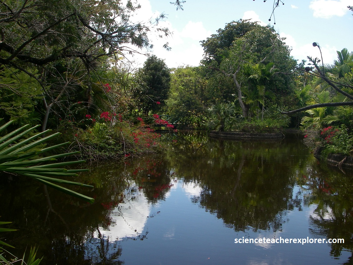
Pictured above, nestled on the outskirts of Freeport is “Garden of the Groves, named for Wallace Groves, a financer from Virginia who helped to establish the city of Freeport in the 1950s. The garden originally opened in 1973 on 12 acres of gardens and wildlife habitat that is home to a variety of flora, indigenous and migratory birds and butterflies, (note the red “Poor Man Orchids” and the “Sago Palms (Zamia integrifolia) seen in the distance of many of the photos above).
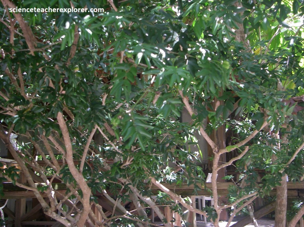
Pictured above, Lignum Vitae (Guaiacum officinale) is the national tree of the Bahamas. It grows to a height of about 6.5m and can be found in undisturbed coastal coppices of the islands. The tree is of extraordinary beauty when it burst into flower with a canape of violet-blue flowers. This can happen at different times of the year and is usually associated with rainfall. The fruit is fleshy and of orange color. The wood is hard and extraordinary heavy that it does not float in water. It was highly prized in the manufacture of pulleys, cogs and bearings. Harvesting of these trees by early European explorers has rendered it a rare species. Teas prepared from the various parts of the tree have been used in Bahamian “bush medicine” to treat everything from fevers to boils. The locals used preparations from the tree to treat venereal disease.
Pictured above, the “Sea Grape” (Coccoloba uvifera) was probably the first land plant seen by Christopher Columbus when he landed on Bahamian shores in 1492. He even stated in his journals that the large round leave of this tree were used by the local Lucayans as plates! The Sea Grape is one of the first woody plants to colonize sandy shores and is more salt-tolerant than most hardwood trees. Small white fragrant flowers borne on long racemes occur in late spring and produce abundant nectar to attract swarms of honeybees. The species name uvifera is derived from Latin meaning “grape bearing”. Clusters of ripe purple berries are not only favored by birds but are also eaten by humans. the fruit may be made into a wine-like alcoholic beverage or a slightly tart jelly. Leaves and bark are brewed into a tea to treat asthma as well as diarrhea. Sea Grape trees may reach height up to 16m and the large, dark-green leathery leaves with red-veins that can be 25cm across make them attractive landscape species.
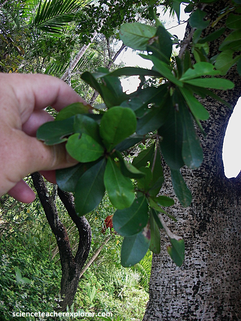
Pictured above is the Black Olive Tree, (Bucida buceras). This tree is a native to the Florida Keys and grows to a height of 17m. the specimens which shade the entrance at the Garden of the Groves are the tallest on Grand Bahama Island. Small, greenish-white flowers appear on spikes near the tips of twigs in late spring. The trunks of Black Olive Trees are usually marked with symmetrical lines of holes which are left by the Yell-bellied Sapsucker, a migratory woodpecker that spends the winter here. This clever bird provides himself with free-flowing tree sap spiked with insects that got stuck.
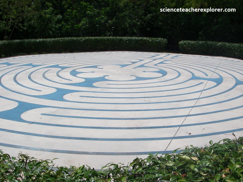
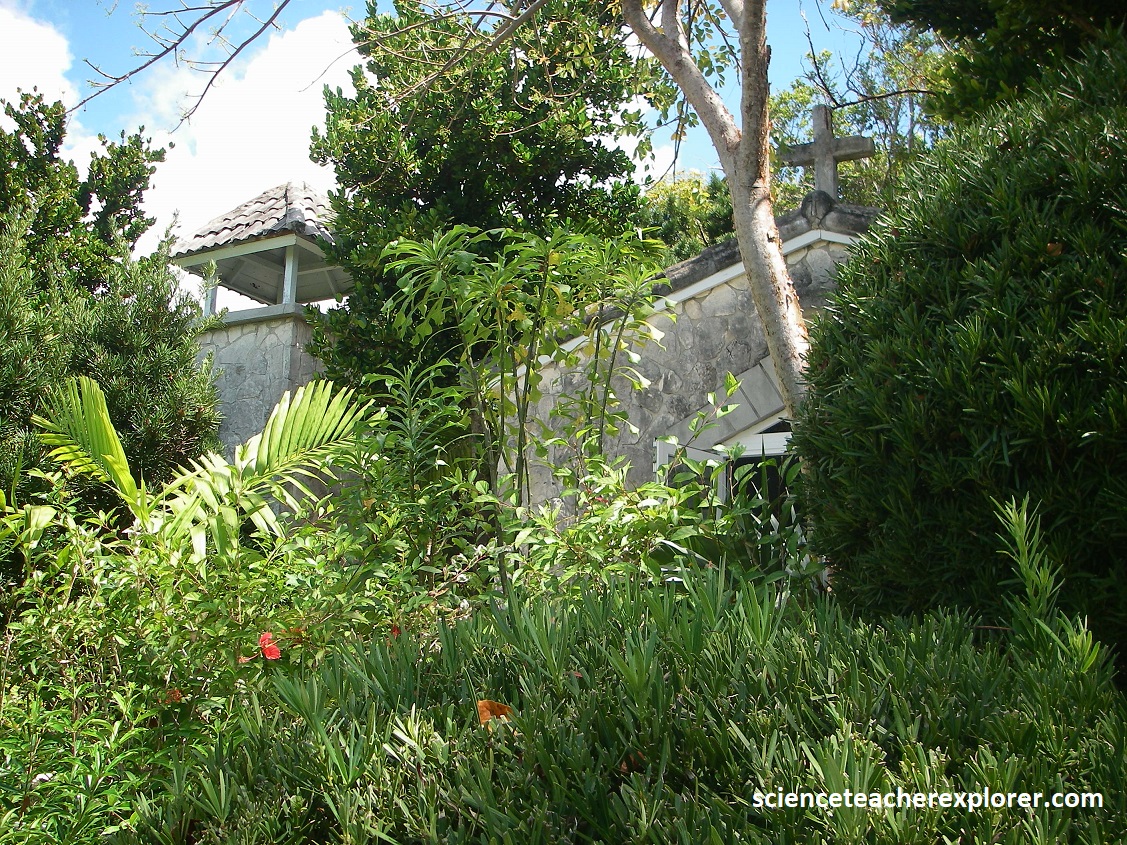
Pictured above, within the “Garden of the Groves” is a walking labyrinth. The spiritual labyrinth was built in 2008 as a exact replica of the circa-1230 Christian path at the Cathedral of Notre Dame de Chartres in France. It is a metaphor for life, encouraging introspection. There are no dead ends and it is not a maze, rather a calming walk for the mind and body. Also within the gardens is a chapel for weddings, prayer, and meditation, (picture above).
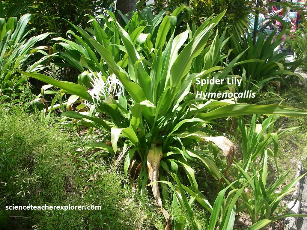
Pictured above, this herbaceous plant is called the “Spider Lily” (Hymenocallis arenicola). It produces basal rosette (a whorl of leaves radiating from a crown or center) of semi-succulent or fleshy linear leaves from a fleshy under-ground bulb. Leaves are to 8 cm wide and 70 cm long with a pointed leaf tip and parallel veins. Large, radial, three-parted, white, hermaphroditic flowers are arranged in umbels (umbrella-shape clusters) bearing up to fourteen flowers. Each flower resembles a white, shallow cup with six, long, slim, white curving appendages making it look spider-like. Used to treat respiratory illness.
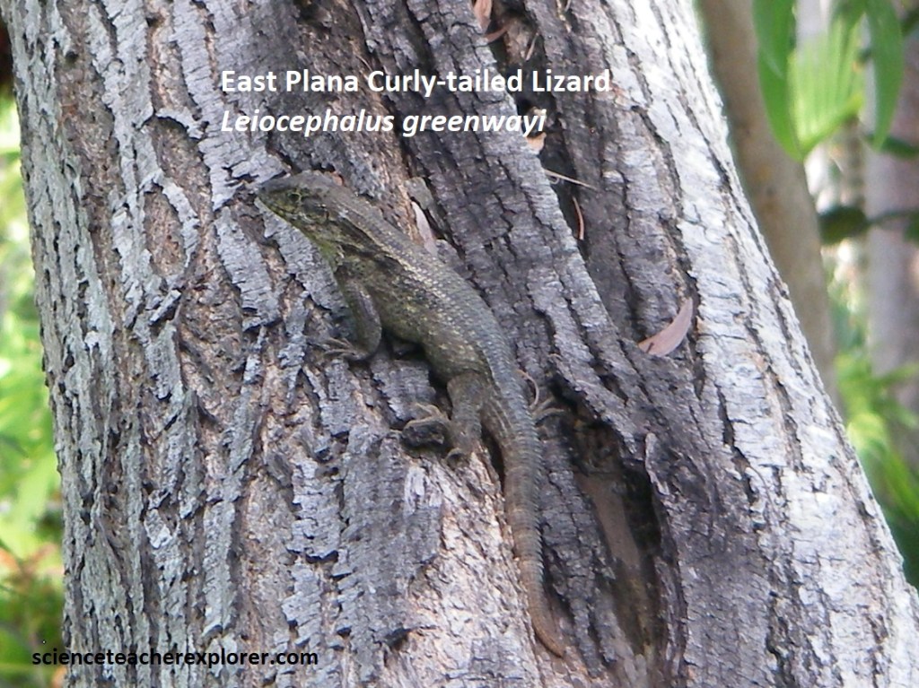
The only good picture of the wildlife here was the above East Plana Curly-tailed Lizard (Leiocephalus greenwayi). It was a 72 cm, dark to light brown and greenish lizard with darker brown median spots and light flecks, with a distinct black patch above each shoulder. The brown tail had a series of rings along its length.
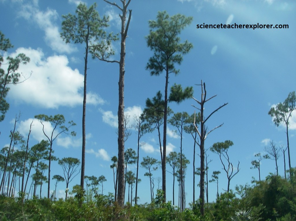
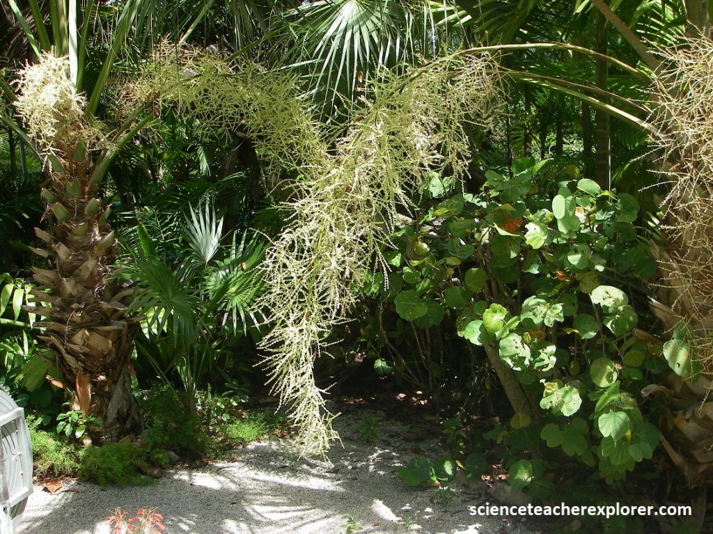
While the Bahamas is generally flat and rocky with limited vegetation. Grand Bahama is a “pine island,” covered with thousands of acres of pine trees, (pictured above). Where the water table comes close to the surface palmettos, (Sago Palms) and marsh-type vegetation can be found. Pictured above, numerous Caribbean Pines died as a result of the storm from Hurricane Wilma (2005), which drove saltwater inland and inundated some of the island’s pine forest. Pines are sensitive to saltwater, which could threaten pine forests as sea level continues to rise in the archipelago.
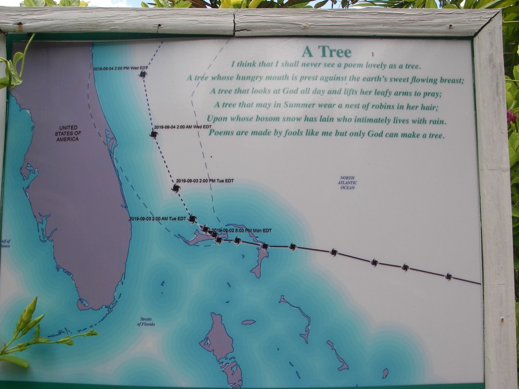
Additionally, the Grand Bahama Island was a victim, (September 2019), of the most devastating and destructive storm ever to hit the Islands of the Bahamas, tying with the 1935 Labor Day hurricane for the highest wind speed of an Atlantic storm ever recorded at landfall. The category 5 storm, (Dorian), raged for 2 days over the two most northern islands of the Bahamas, Abaco and Grand Bahama, with wind speeds of up to 295 km/hr. bringing a 7.7m wall of water with it. Tragically, 67 persons lost their lives while over 200 persons were never accounted for!
Sea Oats and other native plant species can stabilize a dune by holding the sand particles in place, as is evident on this dune on the Grand Bahama Island. Here the fore dune has been eroded by recent wave action, but beyond the eroded section are Sea Oats, which anchor the dune in place. A row of Australian Pines or Casuarinas lines the back part of the dune. As they colonize the dune, native plants will be lost, and winds will blow the sands through the Casuarinas. Casuarinas do not bind the sand in place as well as the native species, however, so eventually the dune will disappear and the Casuarinas will fall over. They will subsequently re-colonize the site again once the dune is gone.
Our group returned to the Freeport Harbor to get back on the cruise-ship. Our next destination within Bahama Archipelago was a private island called Half Moon Cay. We ended up sitting on the beach for the day, and I didn’t take any pictures. So, I’ll continue onto the next stop, at the island of New Providence.
The capital city and main harbor, Nassau, is the seat of government and center of commerce. Though it’s one of the smaller islands, at 33.8 km long by 11.3 km wide, New Providence is home to 70% of the population of this island nation. New Providence’s centralized location within the archipelago plays two roles: (1) protection from the elements of the Gulf Stream and the Atlantic, which envelop either side of the surrounding islands and cays; (2) ease of accessibility to the remainder of the country. Most people inevitably pass through Nassau when transiting within the islands.
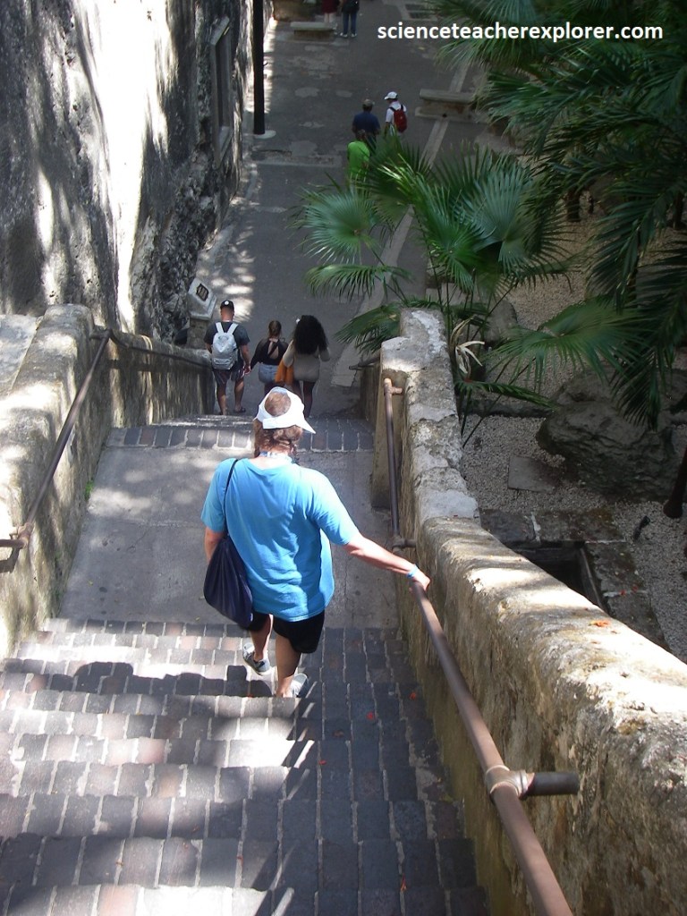
Once landed in the harbor of Nassau, my group had decided to explorer the Queen’s Staircase.
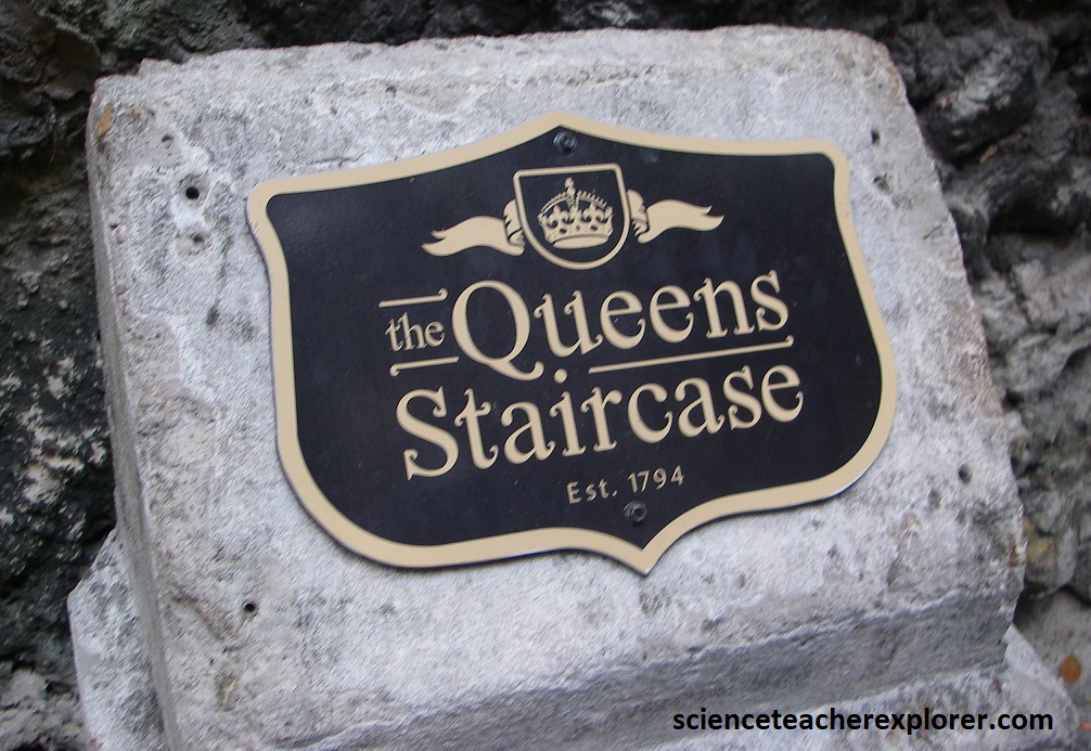
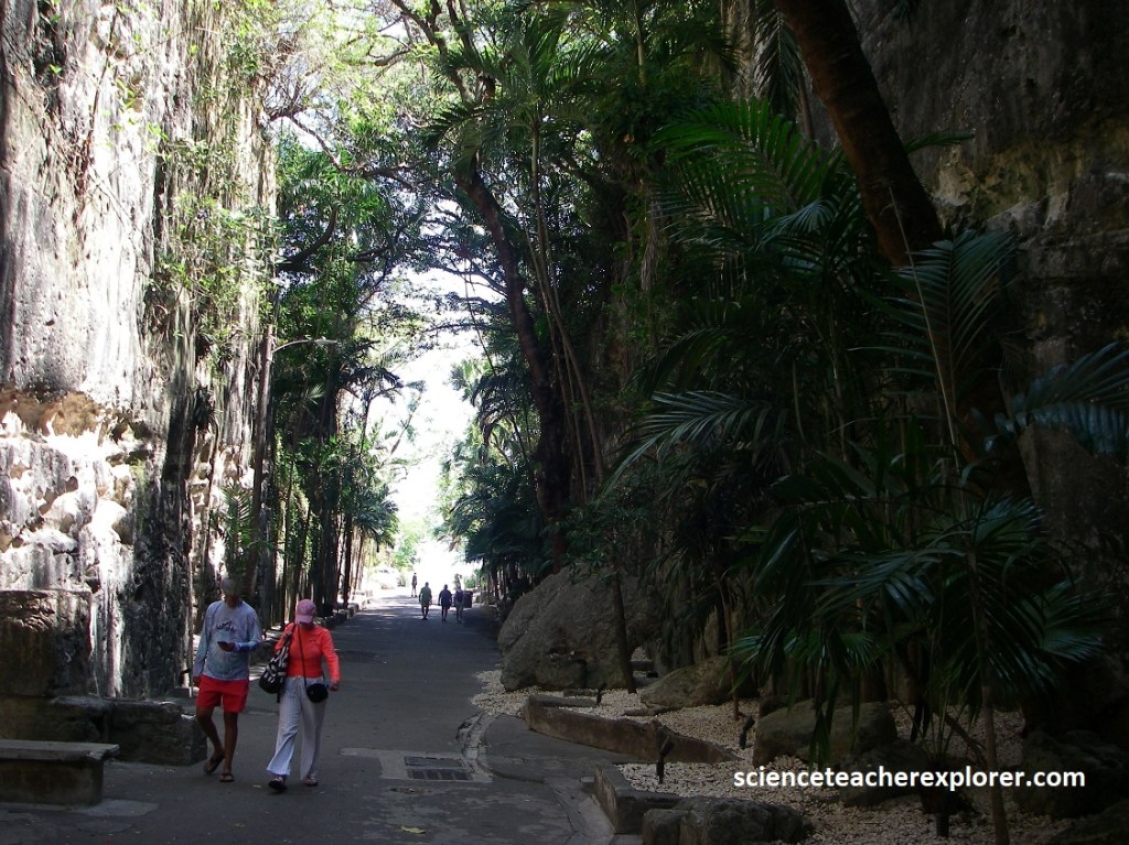
At the south end of Elizabeth Ave., a passage and 30m deep gorge is cut into Prospect Ridge, leading to Fort Fincastle and water tower. The passageway was cut from solid limestone by slaves, beginning in the 1790s, with the intent of constructing a roadway through Prospect Ridge. Emancipation was proclaimed before it could be finished. However, it gave me an opportunity to study the geology there.
Apparently, Prospect Ridge and other narrow ridges nearby were formed by the accumulation of eolian sediments, creating landforms that separate different types of deposits on the island. New Providence Island consists principally of elevated marine sand-flats and protected lagoon-deposits. However, Narrow eolianite ridges separate such deposits from reef-tract deposits capped by prograding beach deposits on the northern (bank-margin) side of the island.
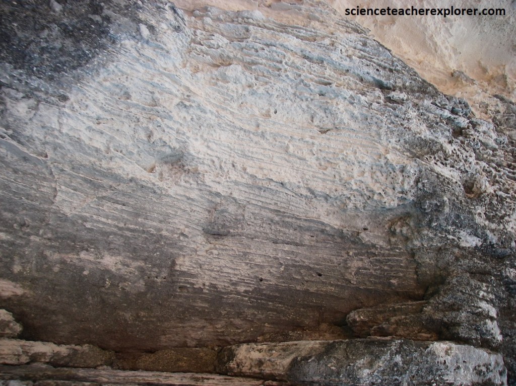
Pictured above, Oolitic limestone (meaning it’s composed of small, spherical grains (oolites) of calcium carbonate that are cemented together), forms Prospect Ridge with features that appear to have been deposited by wind, indicating a coastal environment where sand and other sediments were blown inland and then lithified into rock.
Picture above, the box canyon is cool and shady, and it has been beautified with towing palms. Rainwater oozes from the walls, feeding prolific epiphytes. Prospect Ridge is a perfect example of the “Chevron Ridge” of the Bahama Islands. Chevron ridges are V-shaped sand ridges that formed due to rapid mobilization of bank margin ooid bodies by long-period waves. These ridges, including Prospect Ridge, reflect the influence of sea level fluctuations and the impact of large waves on the coastline.
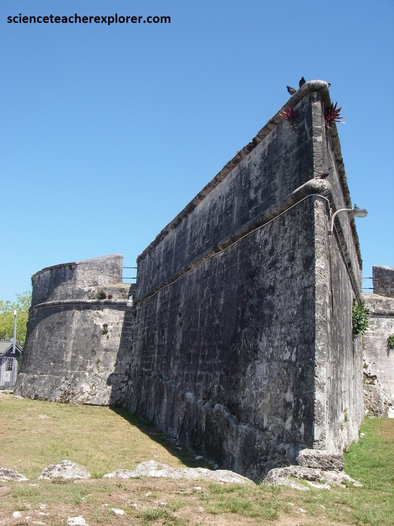
The geology of New Providence, including the formation of Prospect Ridge, has been shaped by sea level fluctuations, as evidenced by the presence of fossil coral reefs and other deposits during the Quaternary Period. The most extensively exposed deposits can be correlated with the ∼125,000-yr high sea level, recognized world-wide. Elevations of keystone vugs in beach deposits of that depositional phase indicate paleo–mean sea levels of as high as +10 m. At the top of the gorge & staircase, it leads to Fort Fincastle.
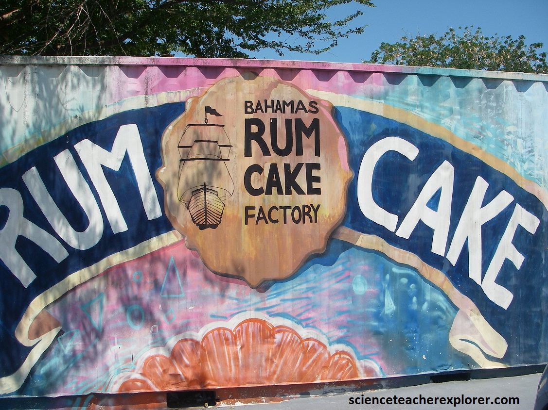
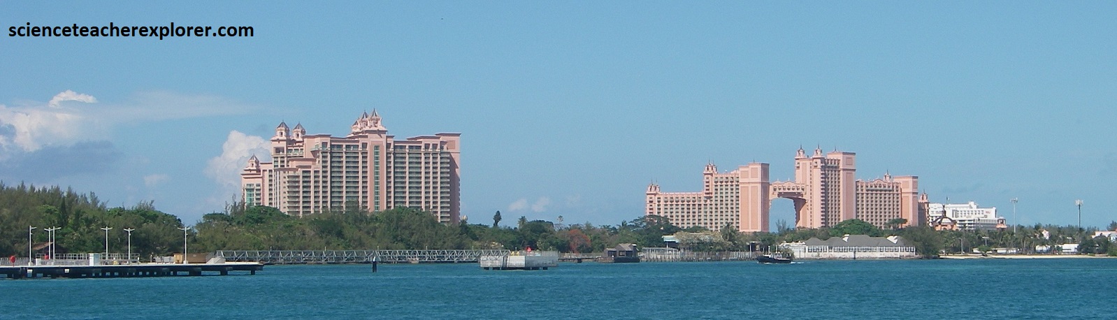
After this brief exploration trek of Prospector Ridge, my group took a shuttle out the the world famous Paradise Island. Along the way we made a long awaited stop at the rum-cake factory, (picture below). The impressive Atlantis resort towers over the low-lying barrier island, glowing fiery flamingo pink in the afternoon, noticeable from nearly everywhere in Nassua. {Below are public interpretive-signs on-site}.
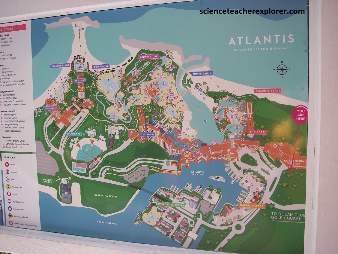
Atlantis is probably the most iconic attraction the Bahamas has ever introduced. the arch of the Royal Towers and the bursting sunset pink of this massive structure are known worldwide. Originally opened in 1998, the resort offers six different hotels, each with their own amenities, surrounding the 141-acre Aqua-venture water park.
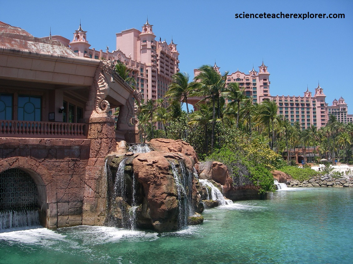
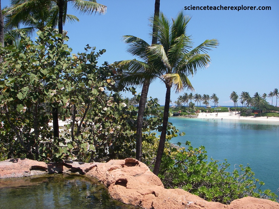
Inside the largest hotel, the Royal Towers, is an expansive lobby with cavernous arched ceilings and “The Dig”, a series of aquariums filled with exotic sea-life, giant manta rays, and sharks that gracefully glide through re-creations of the ruins of the Lost City of Atlantis. Pictured above is a view of Aquaventure with its 11 swimming pools and fresh-and saltwater lagoons inter-mixed. It was pretty impressive. Later, we all returned to the cruise-ship to go back to Galveston. It was a fun-time cruising the Bahama Islands.