Panhandle, MD 2024
My wife, (Becky), and I drove through the beautiful panhandle of Maryland in the summer of 2024.
This area in the United States offers a host of natural splendors, (cascading streams, meadows strewn with wildflowers, and crystal-clear lakes), as well as hospitable towns with historic inns, tiny museums, and charming restaurants that serve up heart, homestyle meals.
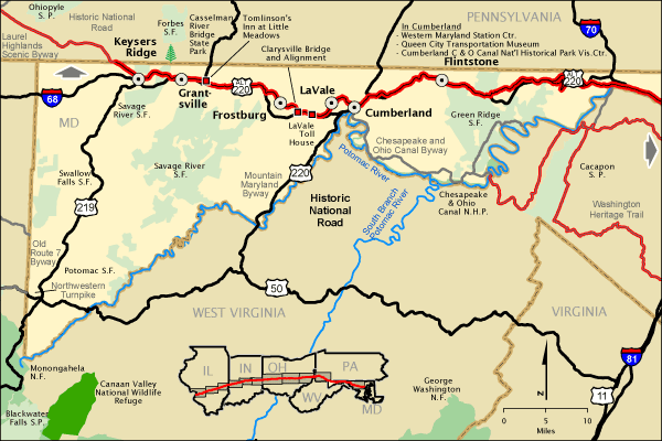
We started our trek on US219, heading north, from the state-line of West Virginia and Maryland. This area is within the cool forests and swift, icy rivers of the Allegheny Mountains.
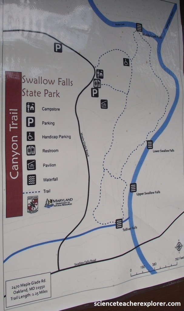
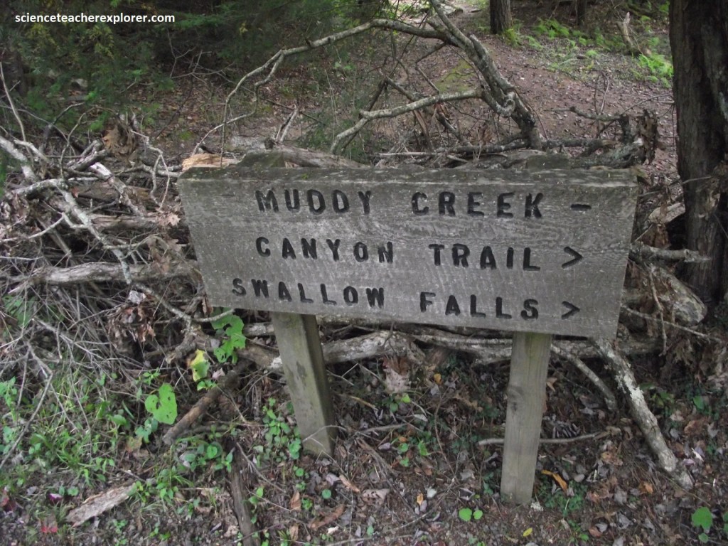
Our fist destination of interest was Swallow Falls State Park, east of Oakland in the little village of Mountain Lake Road. There we turned northwest on Herrington Manor Road to Swallow Falls State Park.
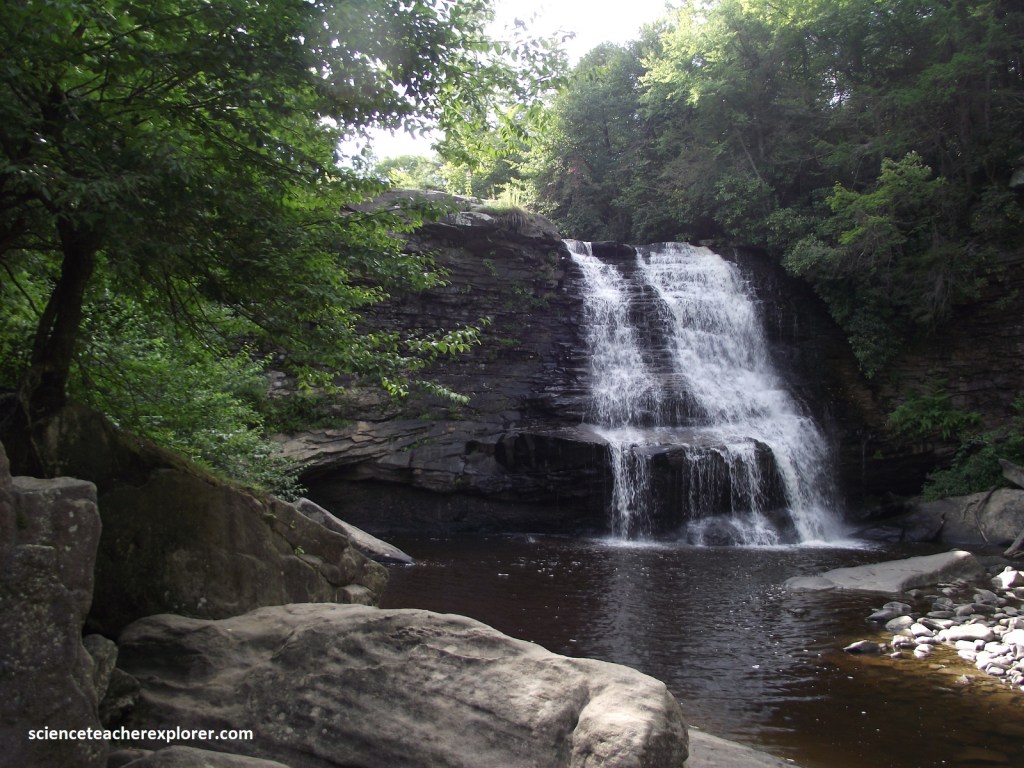
In the midst of the Swallow Falls State Park paradise, serene Muddy Creek splashes over a rock ledge framed by mountain laurels, maples, hickories, and rhododendrons, (picture above). This is Maryland’s highest free-falling waterfall at 16 m. The rocks here are part of the Pottsville formation, which contains cross-bedded sandstones, siltstones, and shales.
The geology of Swallow Falls State Park in Maryland is made up of sedimentary rocks from the Pennsylvanian Period, which are about 300 million years old. The rocks here include claystones, siltstones, shales, and sandstones.
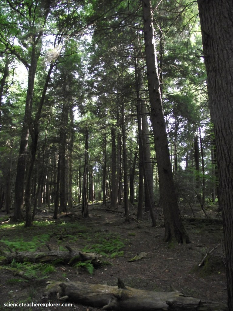
Pictured above, the Muddy Creek flows into the Youghiogheny River and and makes it’s way through the Youghiogheny Grove. This 37 acre area of virgin Hemlock and White Pine has trees estimated to be 300+ years old and is the last stand of its kind in Maryland. Designated as a sensitive management area, cutting and developments are restricted to a minimum.
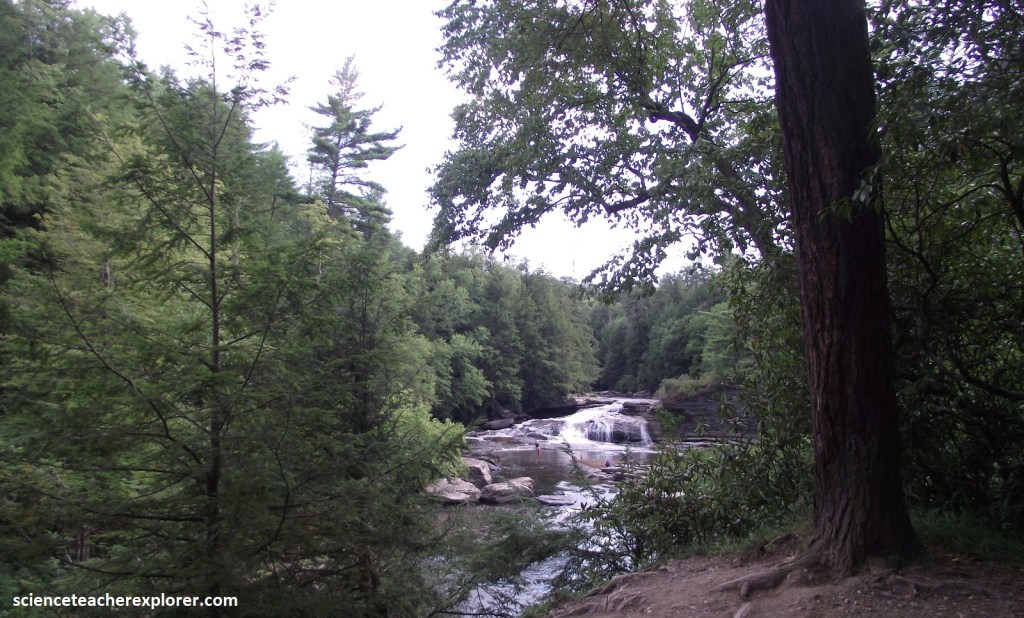
Becky and I followed trails than wandered along sandstone cliffs beside the furious Yougiogheny River, whose appearance of the spectacular Lower and Upper Swallow Falls.
Notable persons who have visited the area includes: Thomas Edison, Henry Ford, John Burroughs, and Harvey Firestone, who camped at Muddy Creek Falls in the summers of 1918 and 1921.
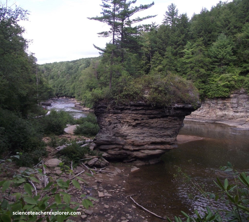
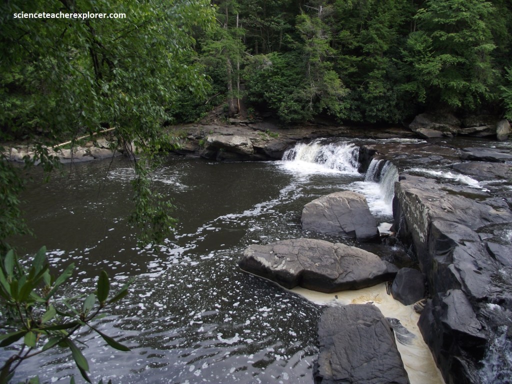
Both the Upper and Lower Swallow Falls has developed on the Youghiogheny River in the Conemaugh formation. The Conemaugh contains claystones, siltstones, shales, sandstones that contains fossils. These rocks date to the Pennsylvanian Period and are about 300 million years old.
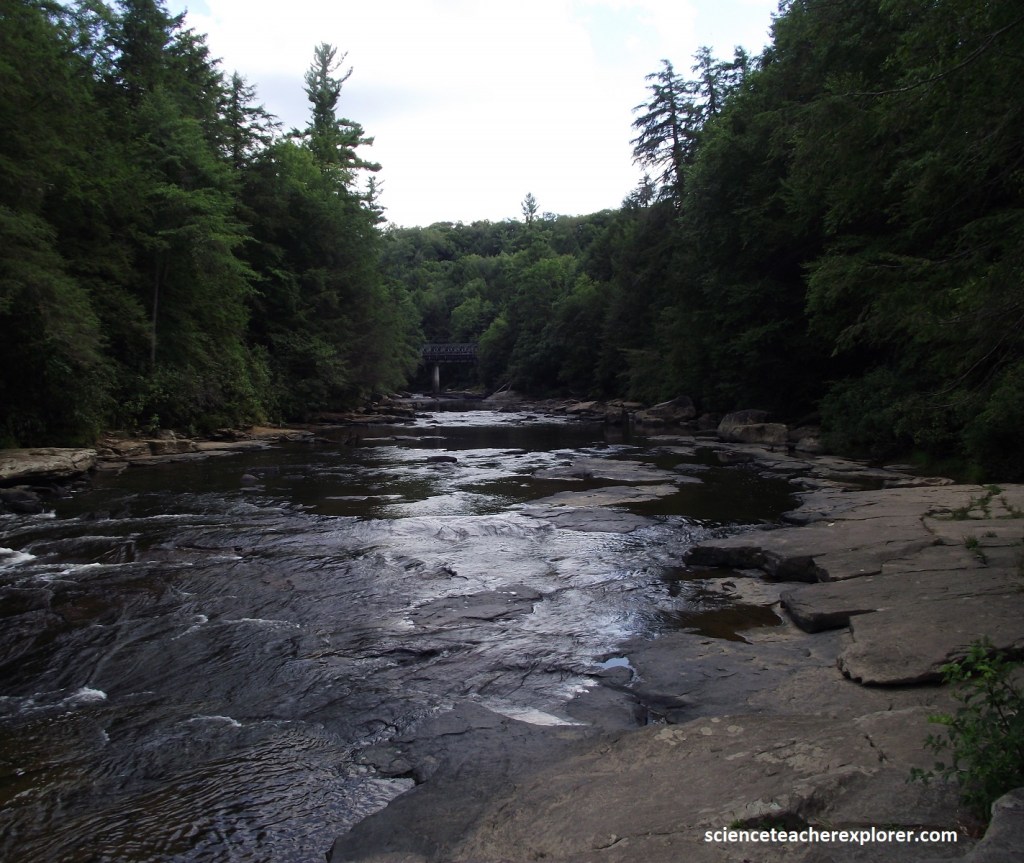
Pictured above, the Youghiogheny River is a 216 km long tributary of the Monongahela River in West Virginia, Maryland and Pennsylvania. It drains an area on the west side of the Allegheny Mountains northward into Pennsylvania, providing a small watershed in this extreme western Maryland into the tributaries of the Mississippi River. Youghiogheny is a “Lenape” word meaning “a stream flowing in a contrary direction”.
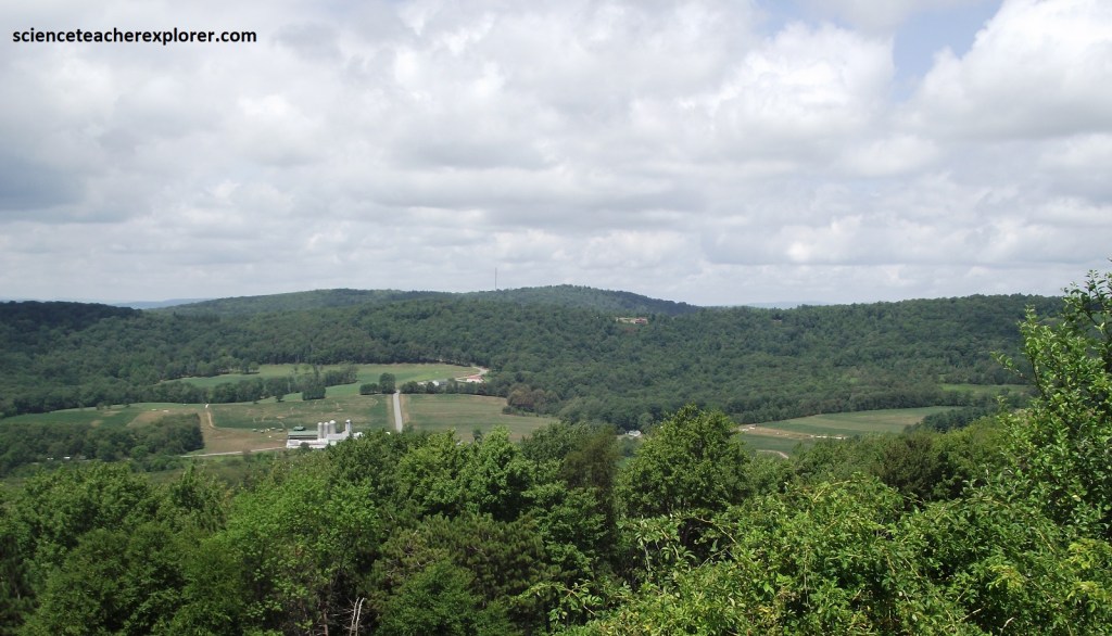
From the Swallow Falls State Park, Becky and I drove west on Swallow Falls Road to US219, where we turned north towards US40A. Passing the small town of Accident on US219, we came upon a picturesque pocket of farmland surrounded by the Alleghenies, (pictured above).
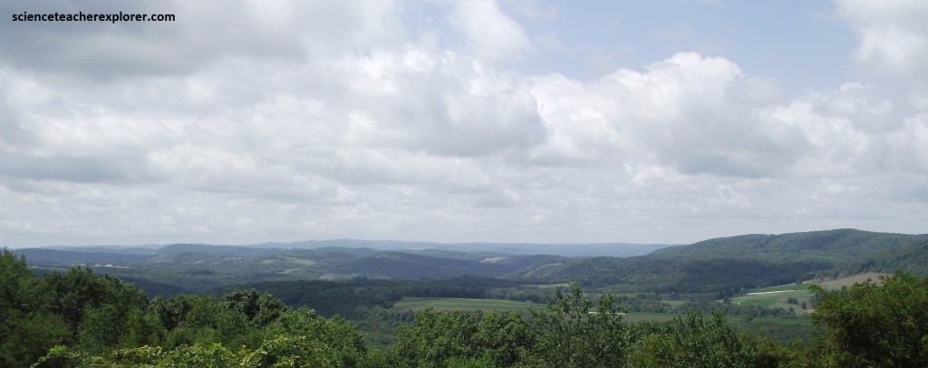
Pictured above, we stopped at the “Cove Overlook” to savor the tranquility of a fertile valley fenced in by mountain peaks. Once reaching as high as the Alps, the Alleghenies, (part of the Appalachian chain that stitches the eastern coast from Quebec to Alabama), are now relatively modest in size, softened and rounded by the elements over millions of years. US210 winds north among these ancient mountains to the rugged summit of Keyser’s Ridge, where MD40A veers east to Grantsville beneath the branches of oaks, hickories, and birches.
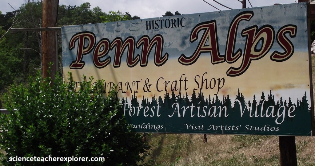
In Grantsville is the Penn Alps, a center that encourages local craft traditions, Amish people clad in black and white sell handwoven baskets, homemade apple butter, and colorful patchwork quilts.
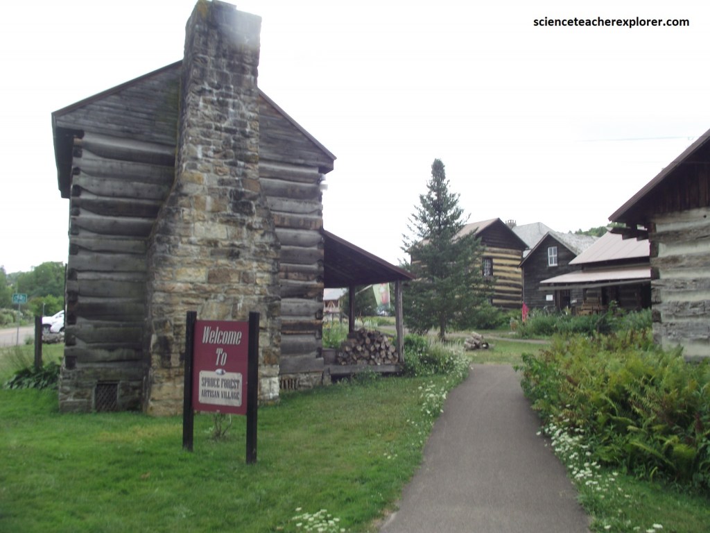
Next door to the Penn Alps is the Spruce Forest Artisan Village. Here, Becky bought some homemade soap & jam to take home.
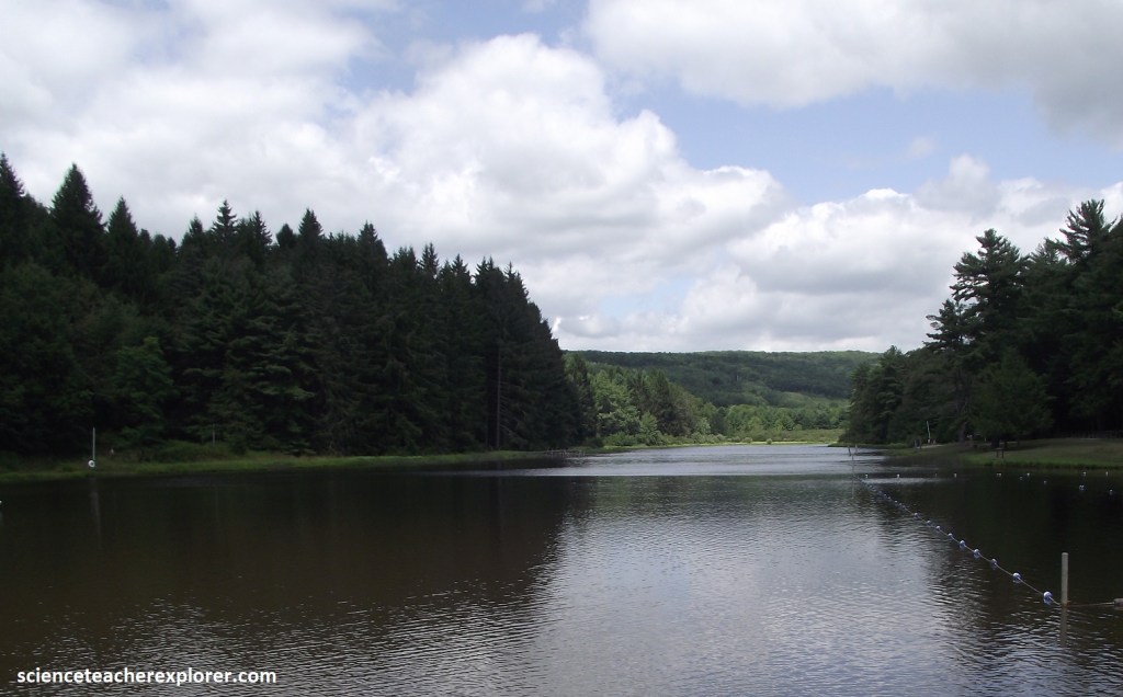
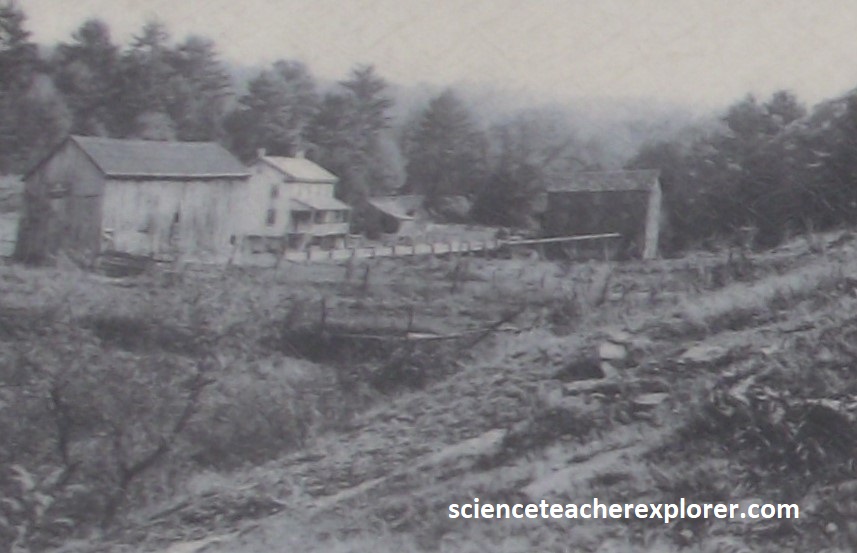
Farther along on US40A, a turn to the south led us to New Germany State Park, a comely patch of wilderness, (with winding trails, hilly woods, and a trout-stocked lake), that showcased the native plant-life, (pictured below).

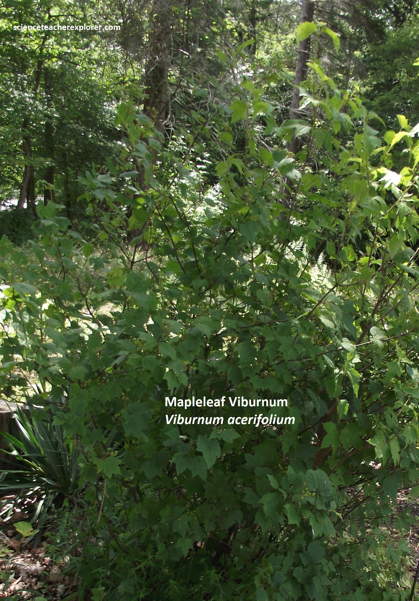
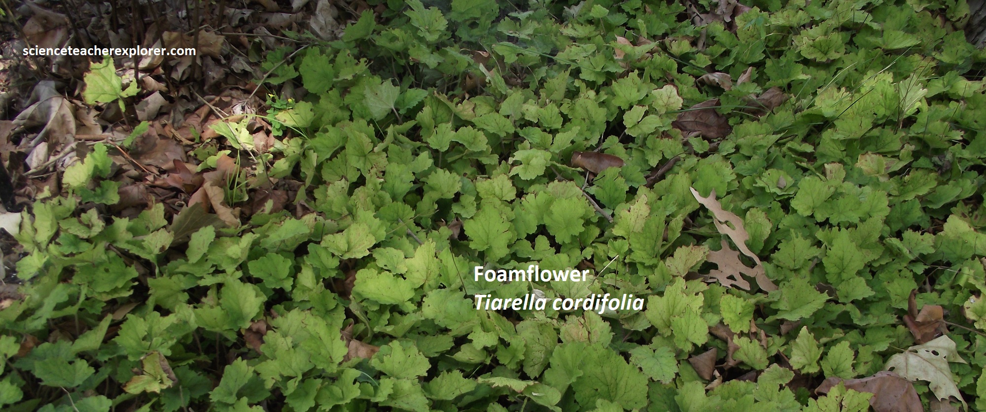

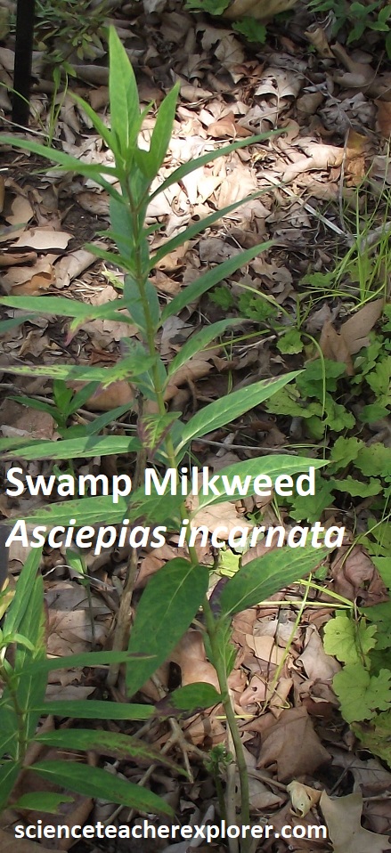
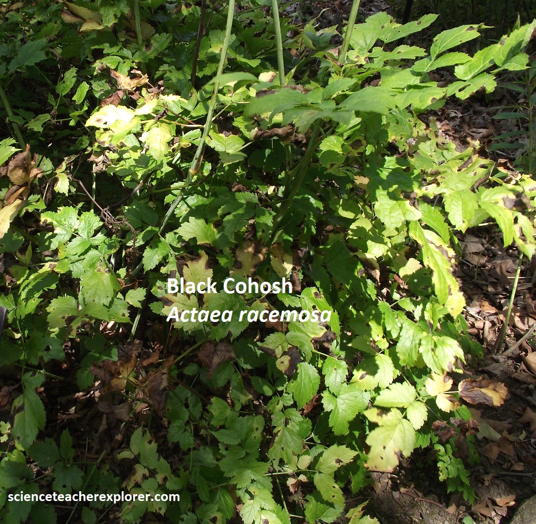
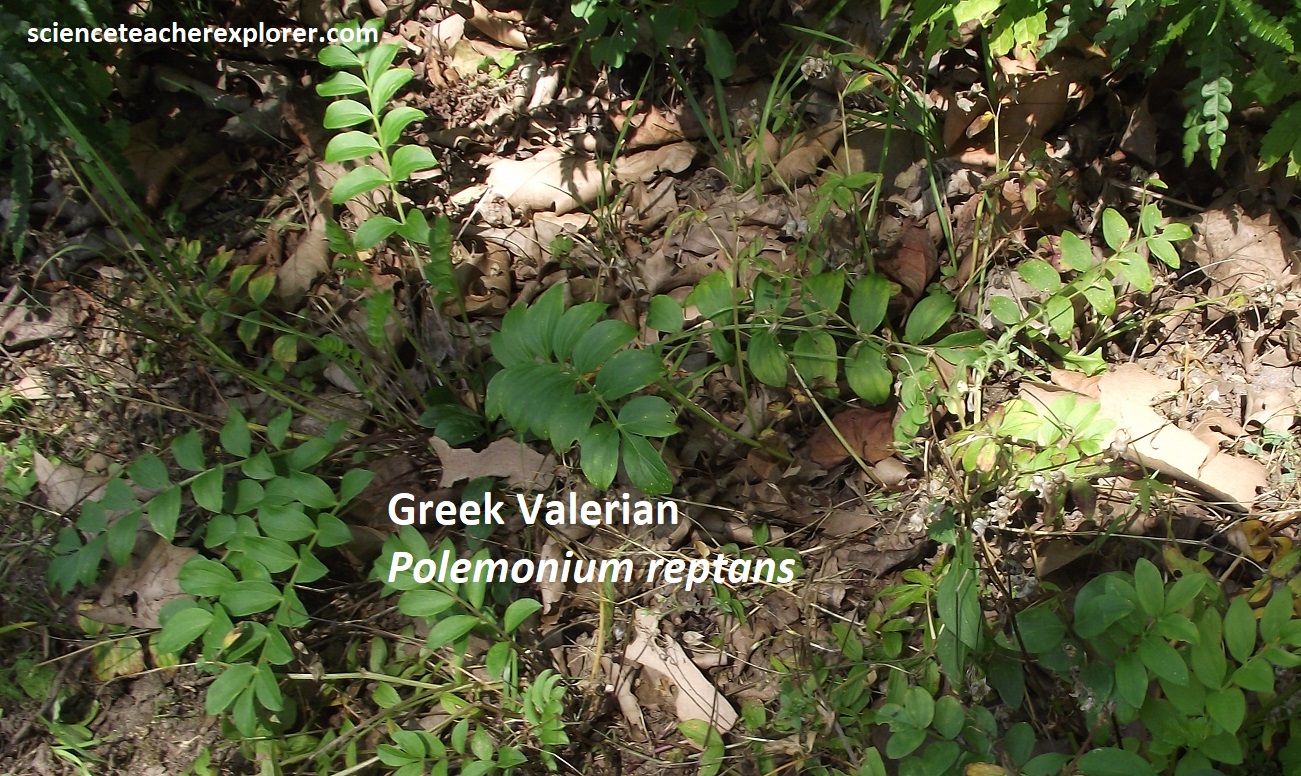
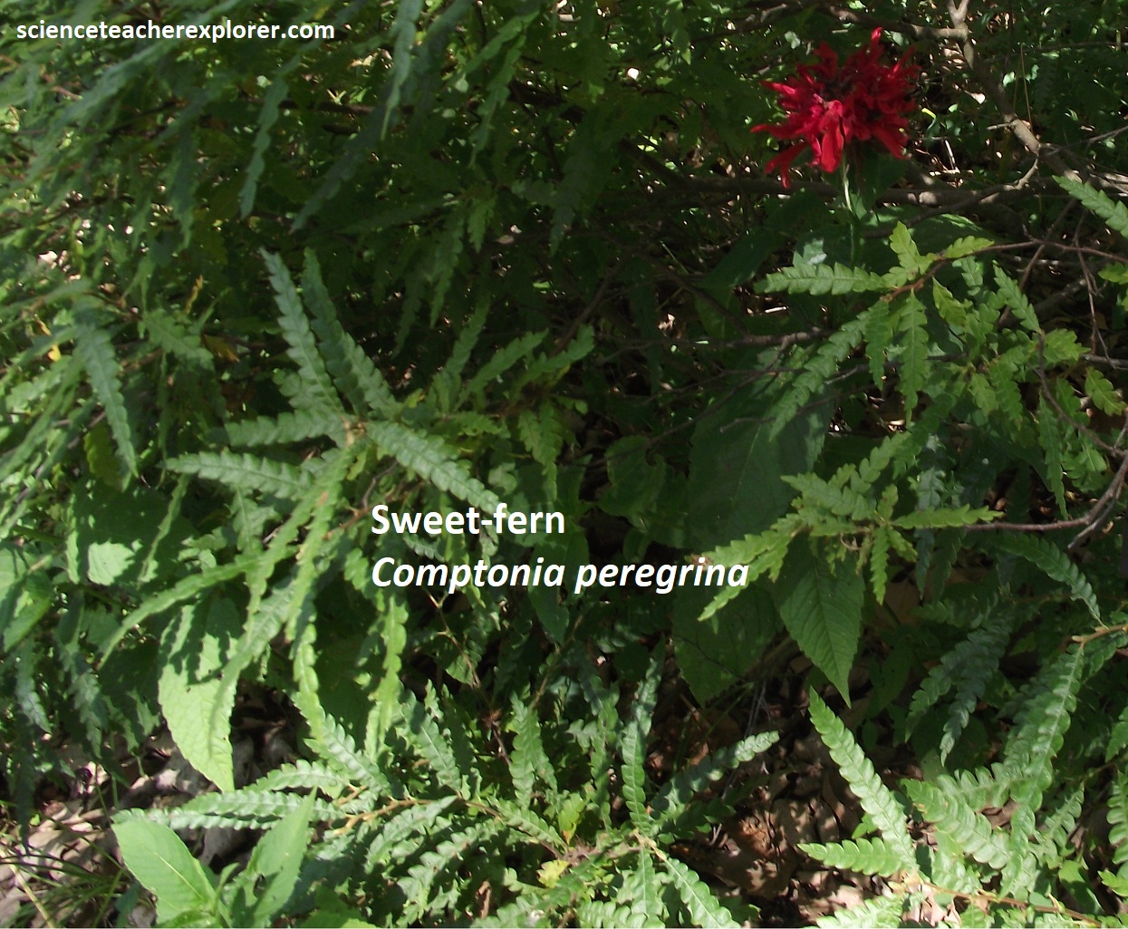
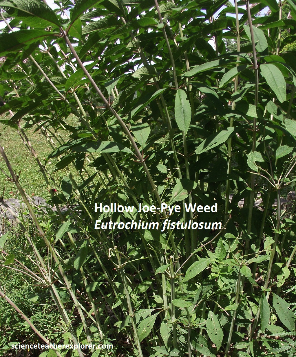
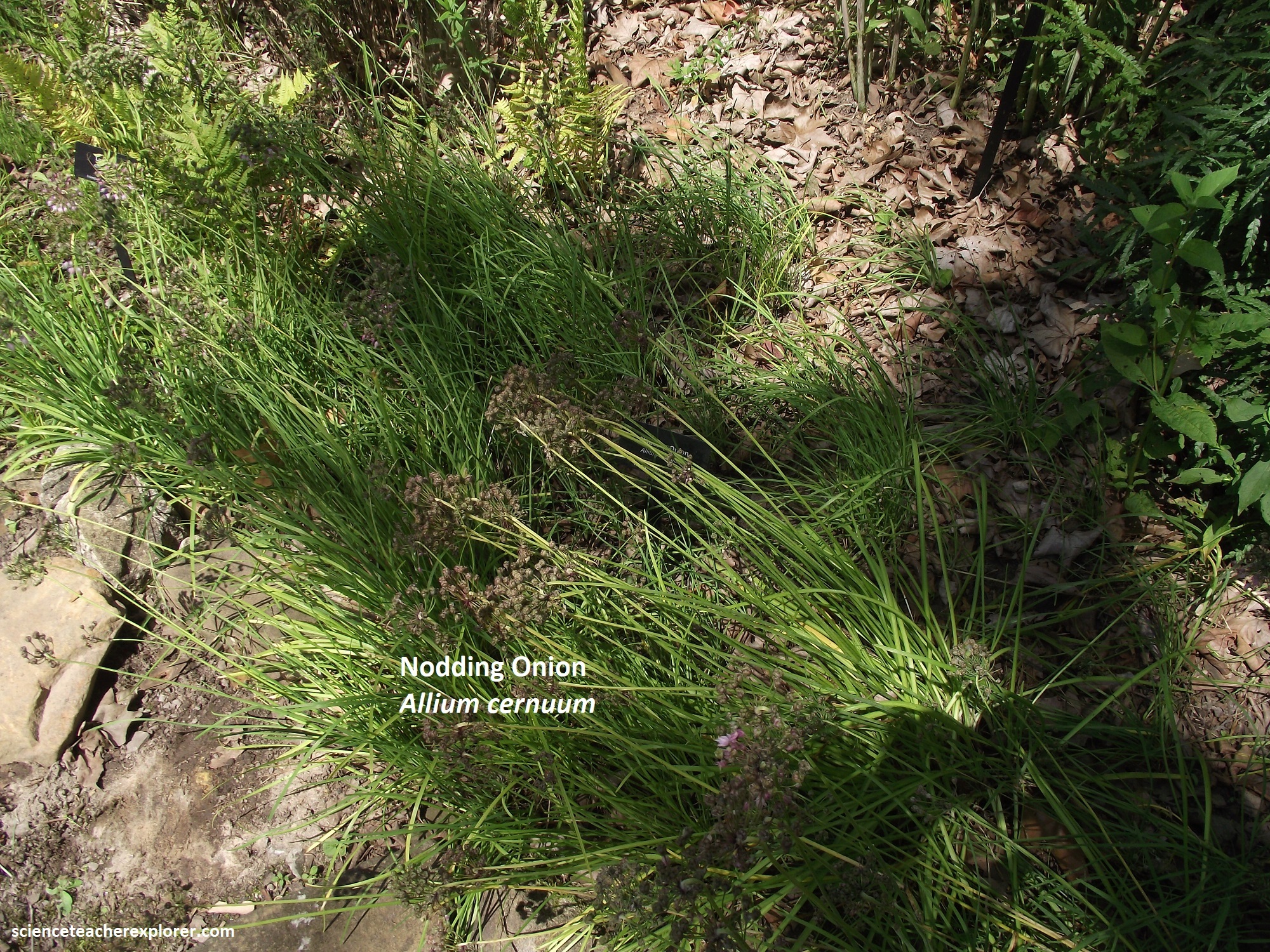
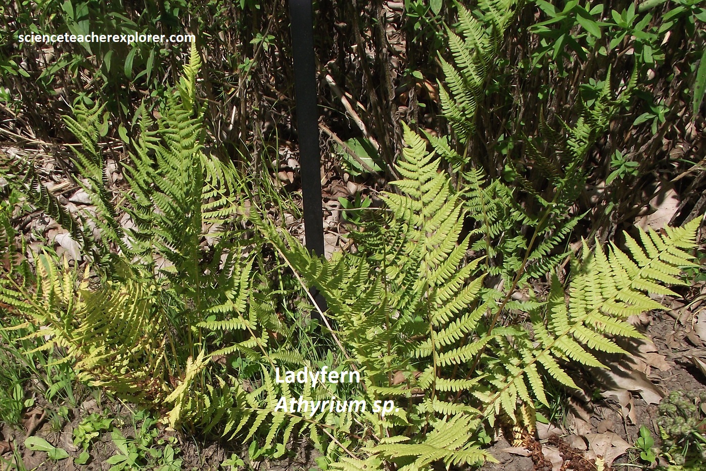
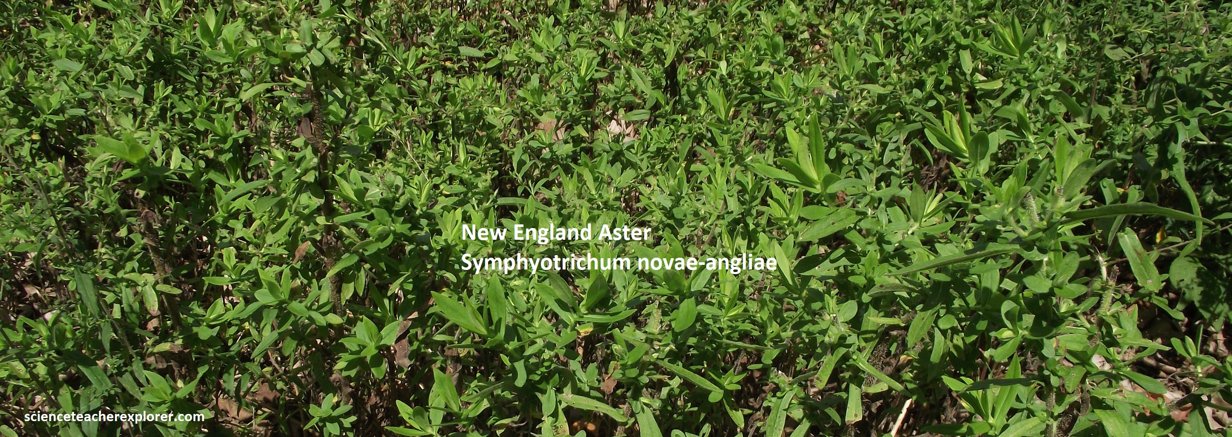
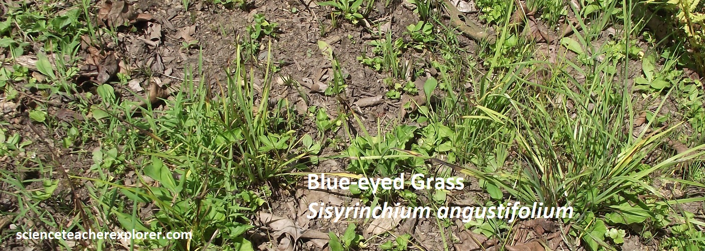
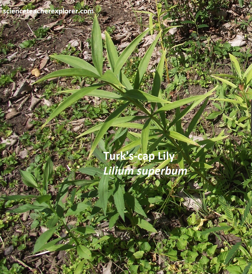
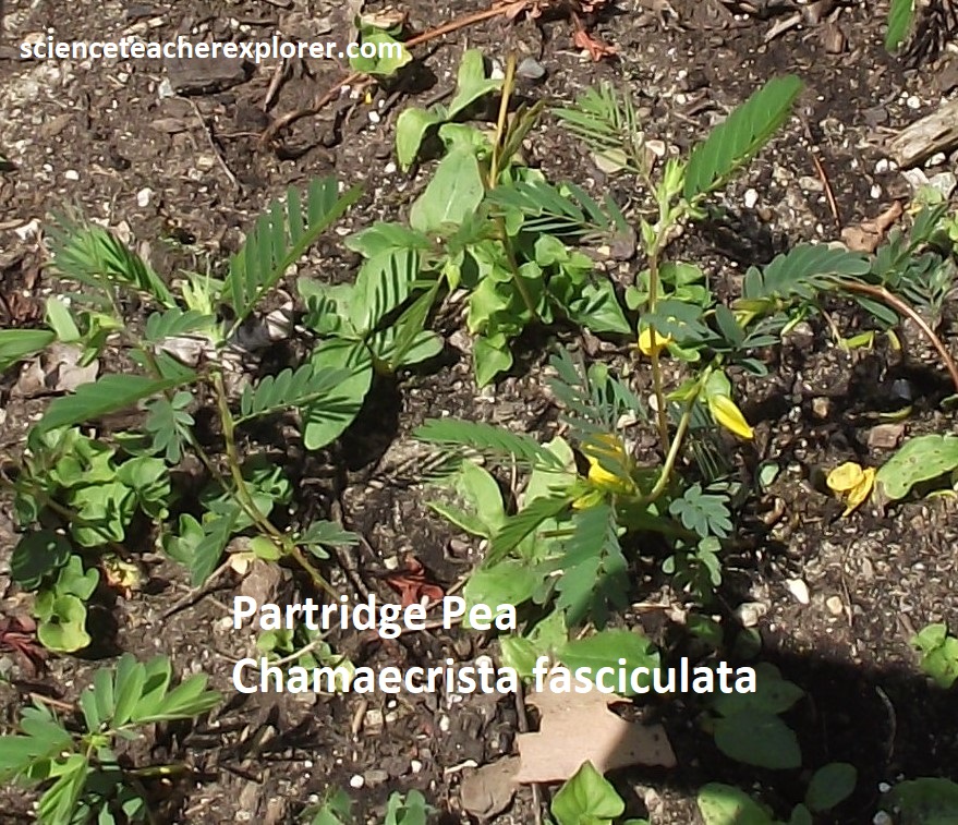
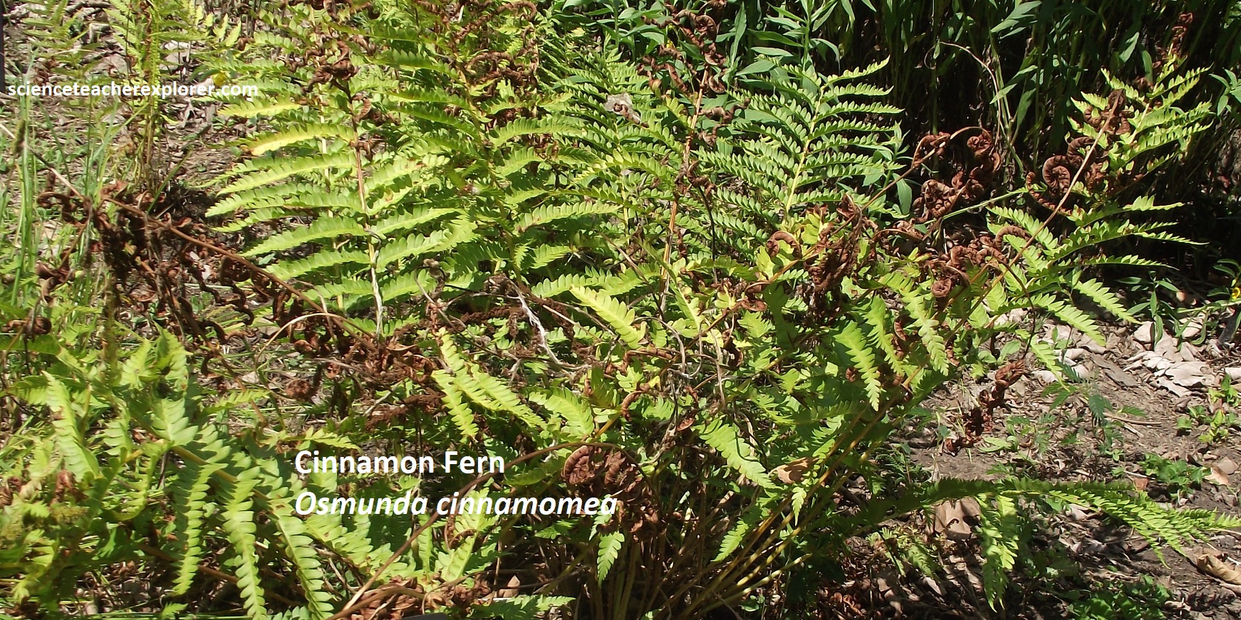
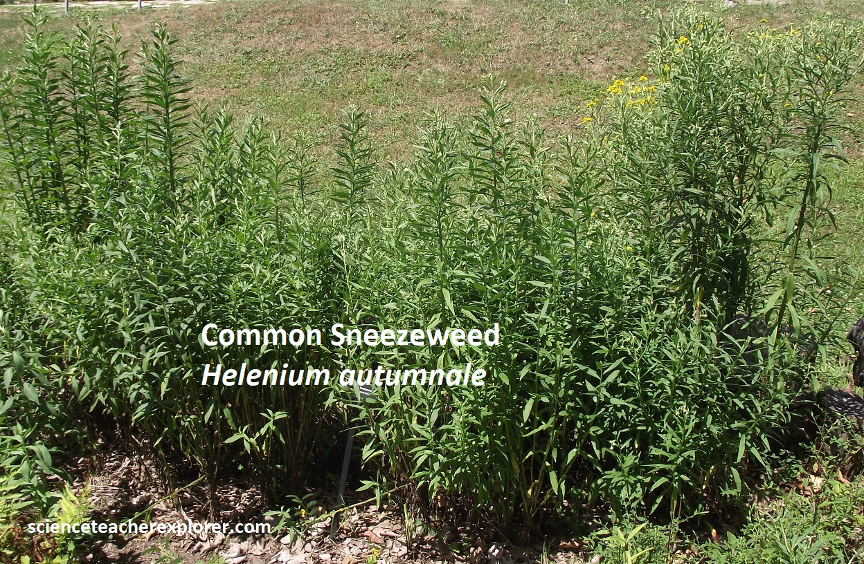

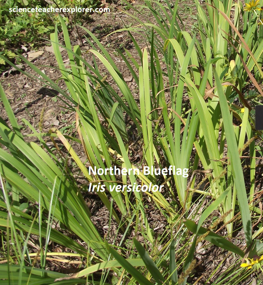
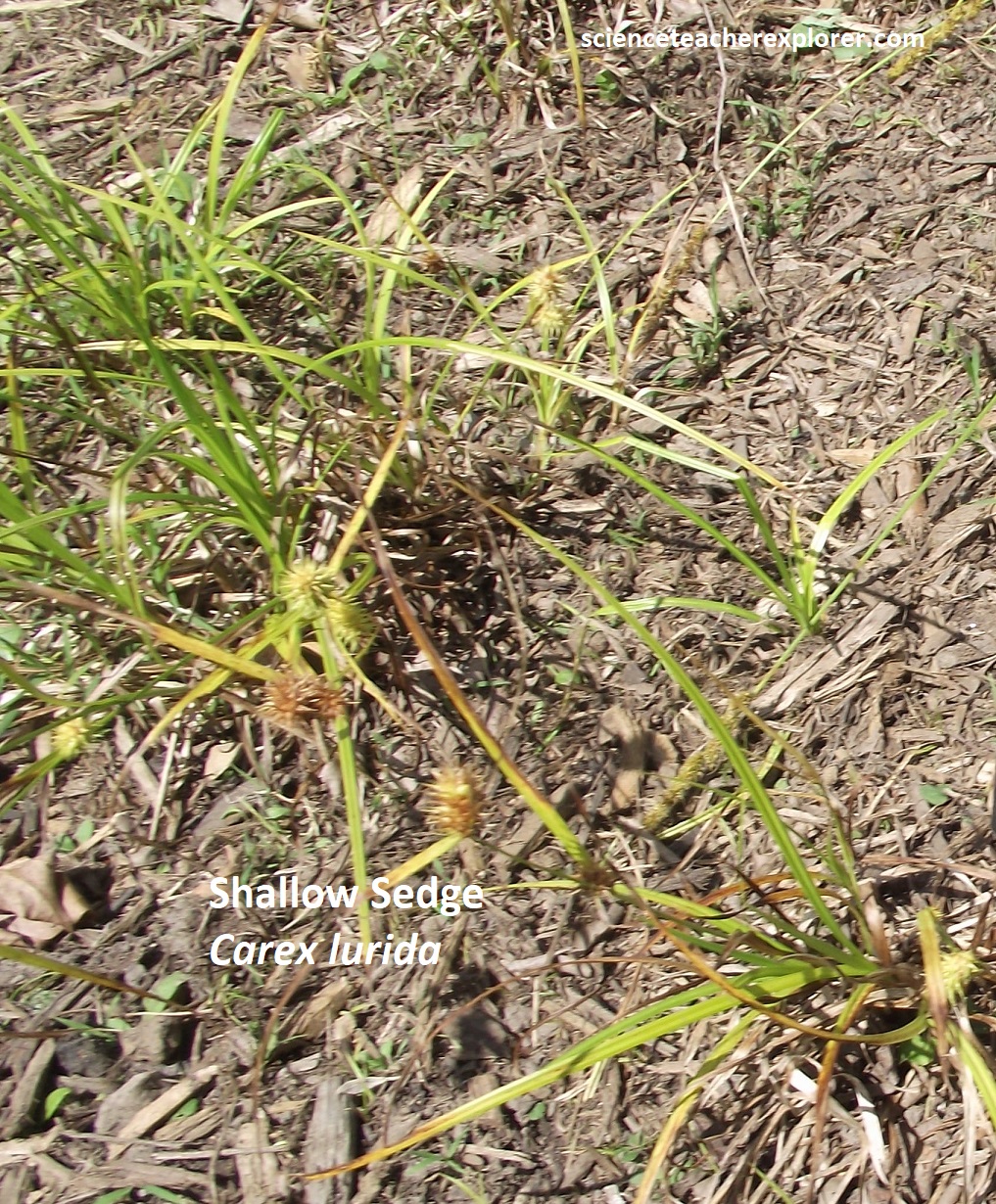
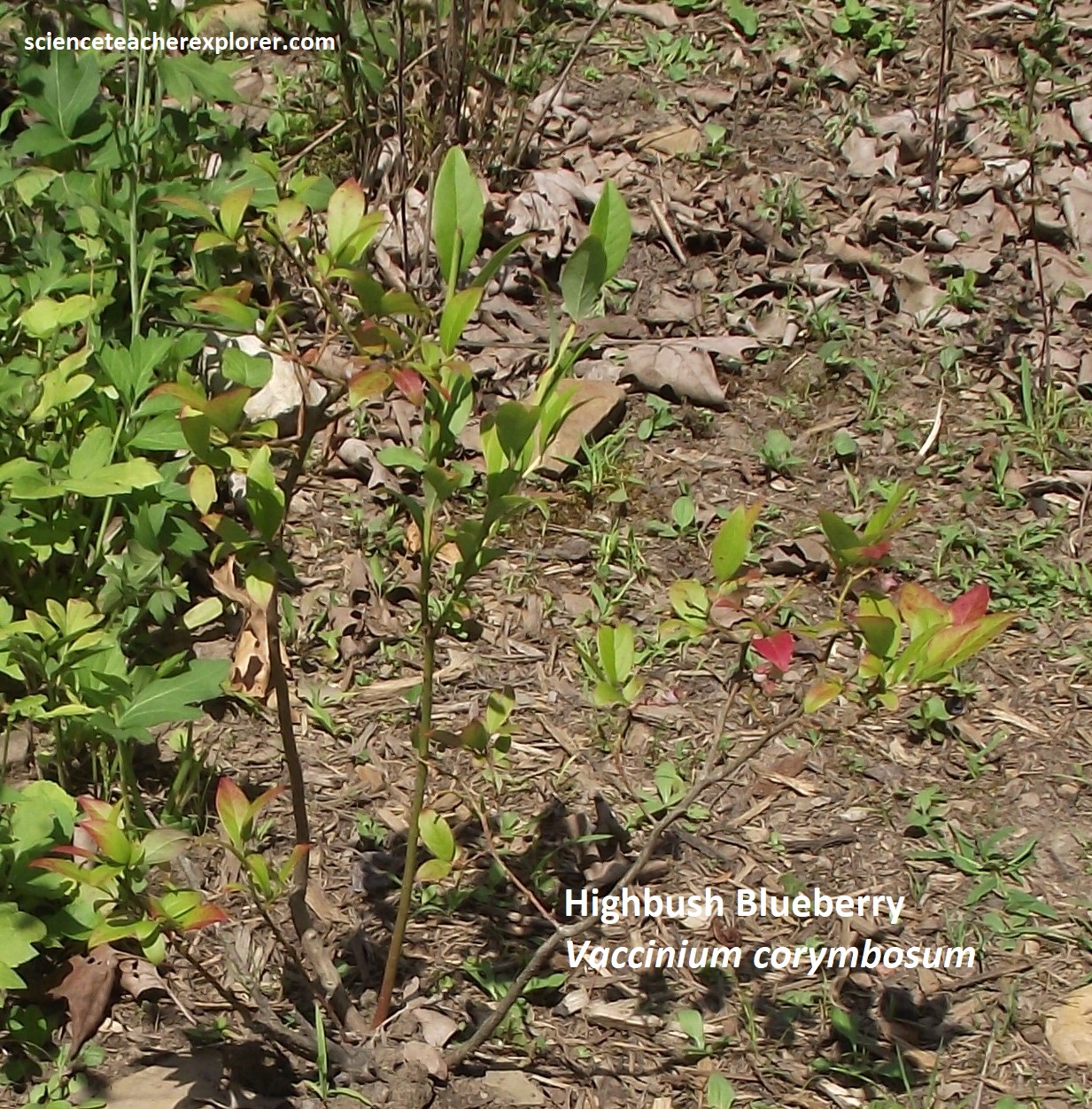
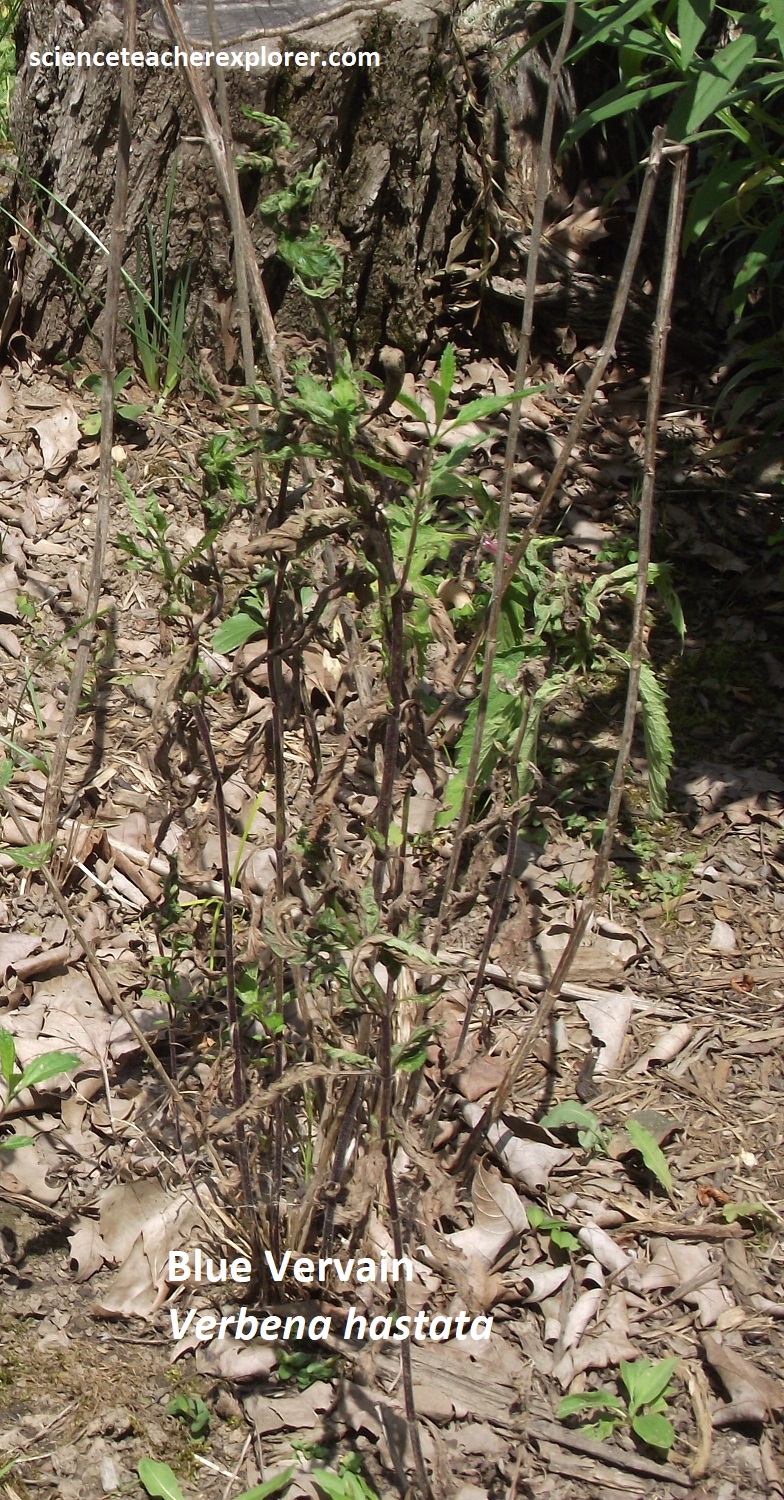
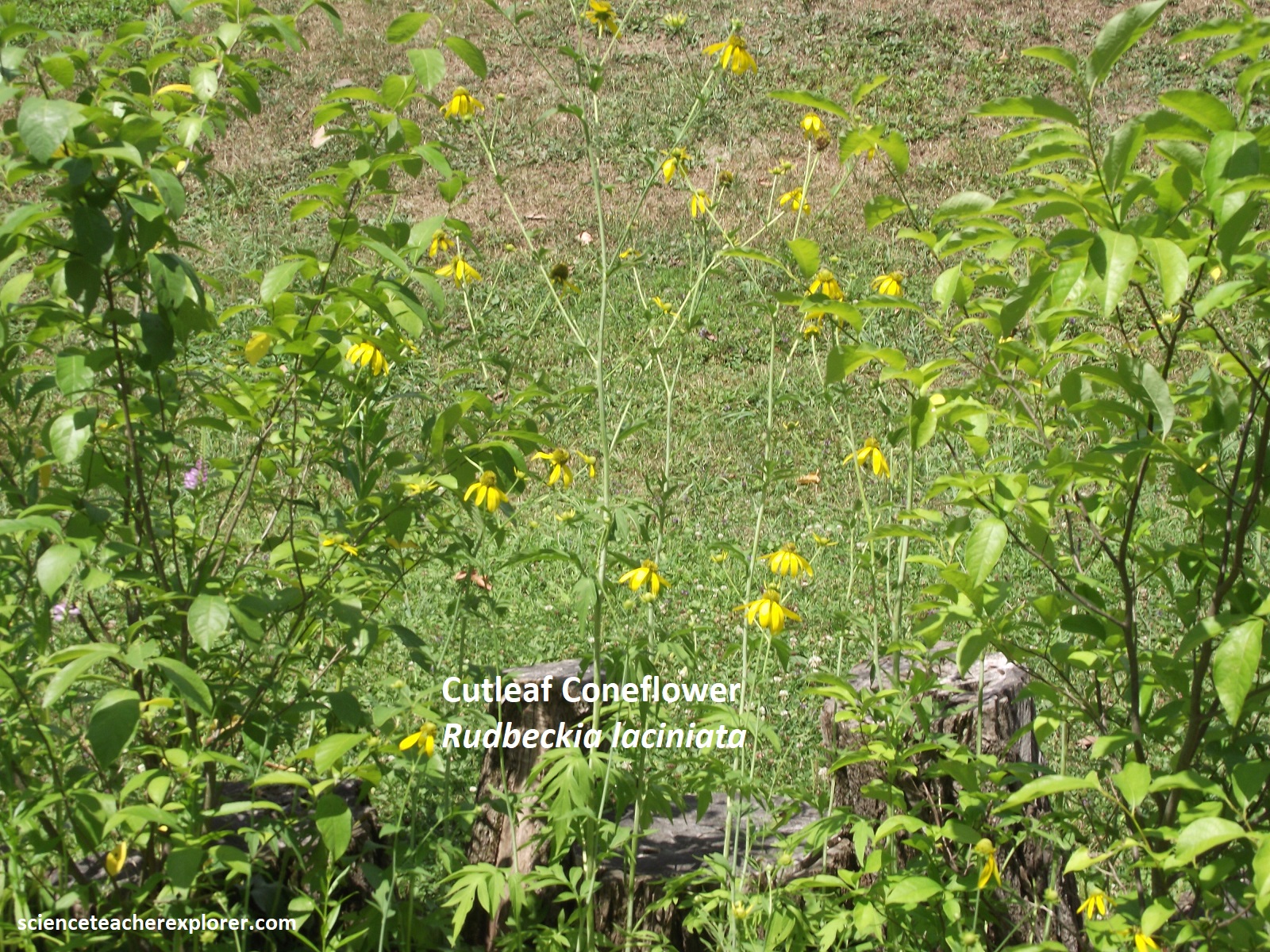

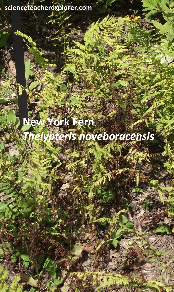

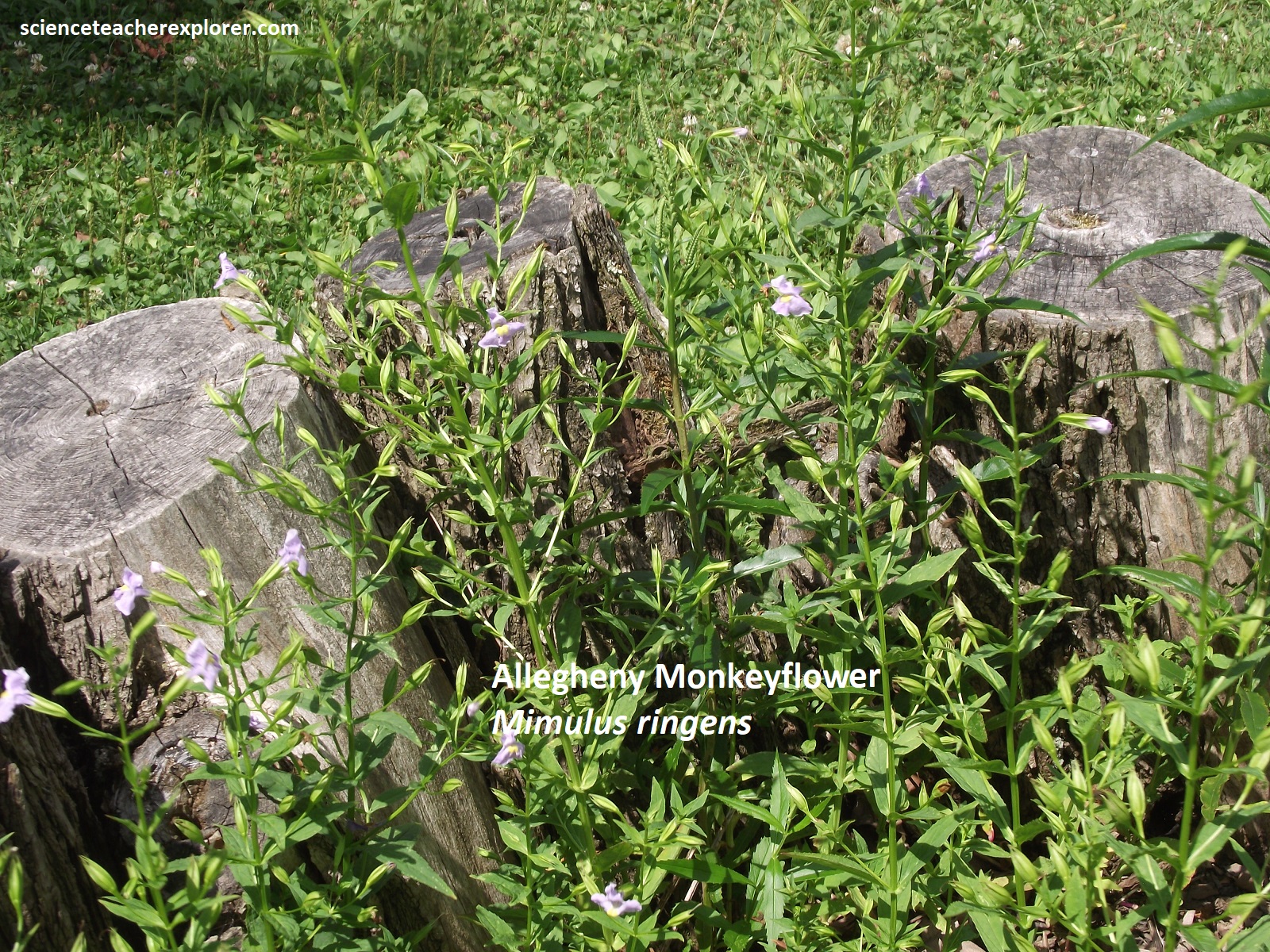
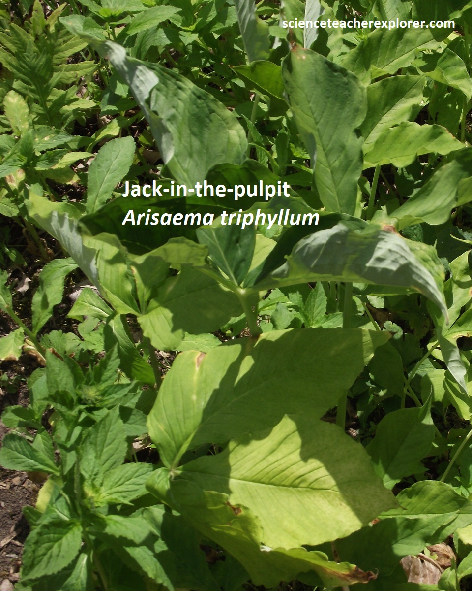


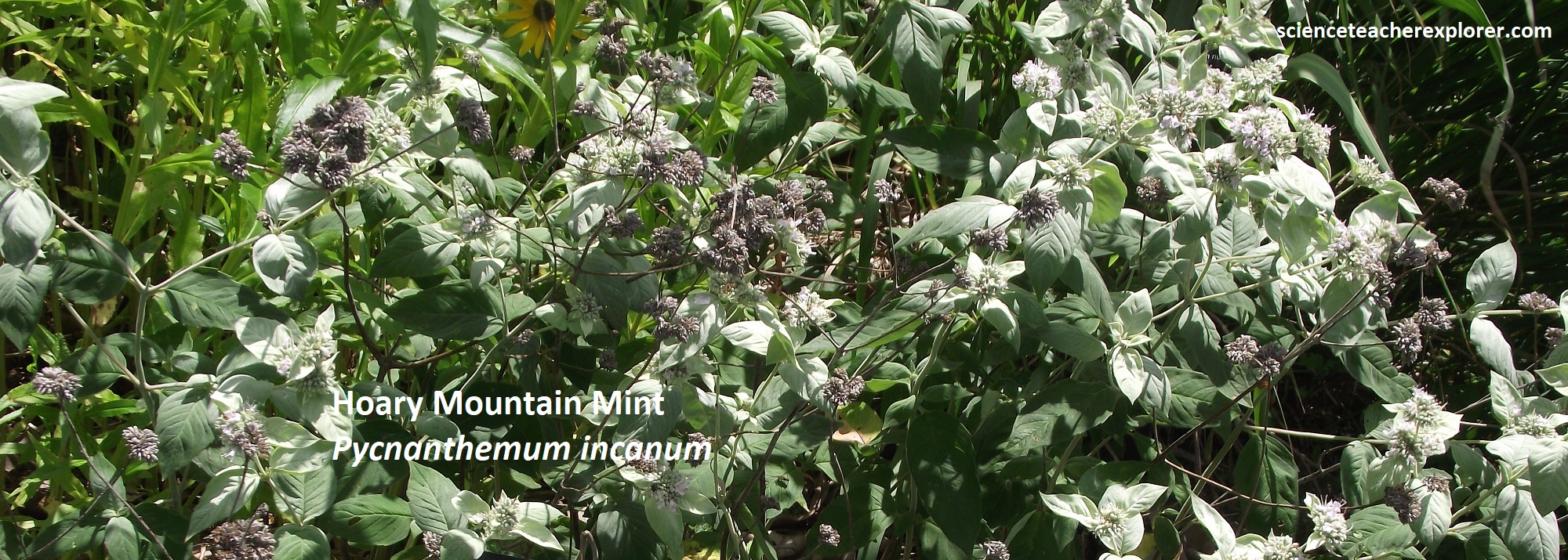

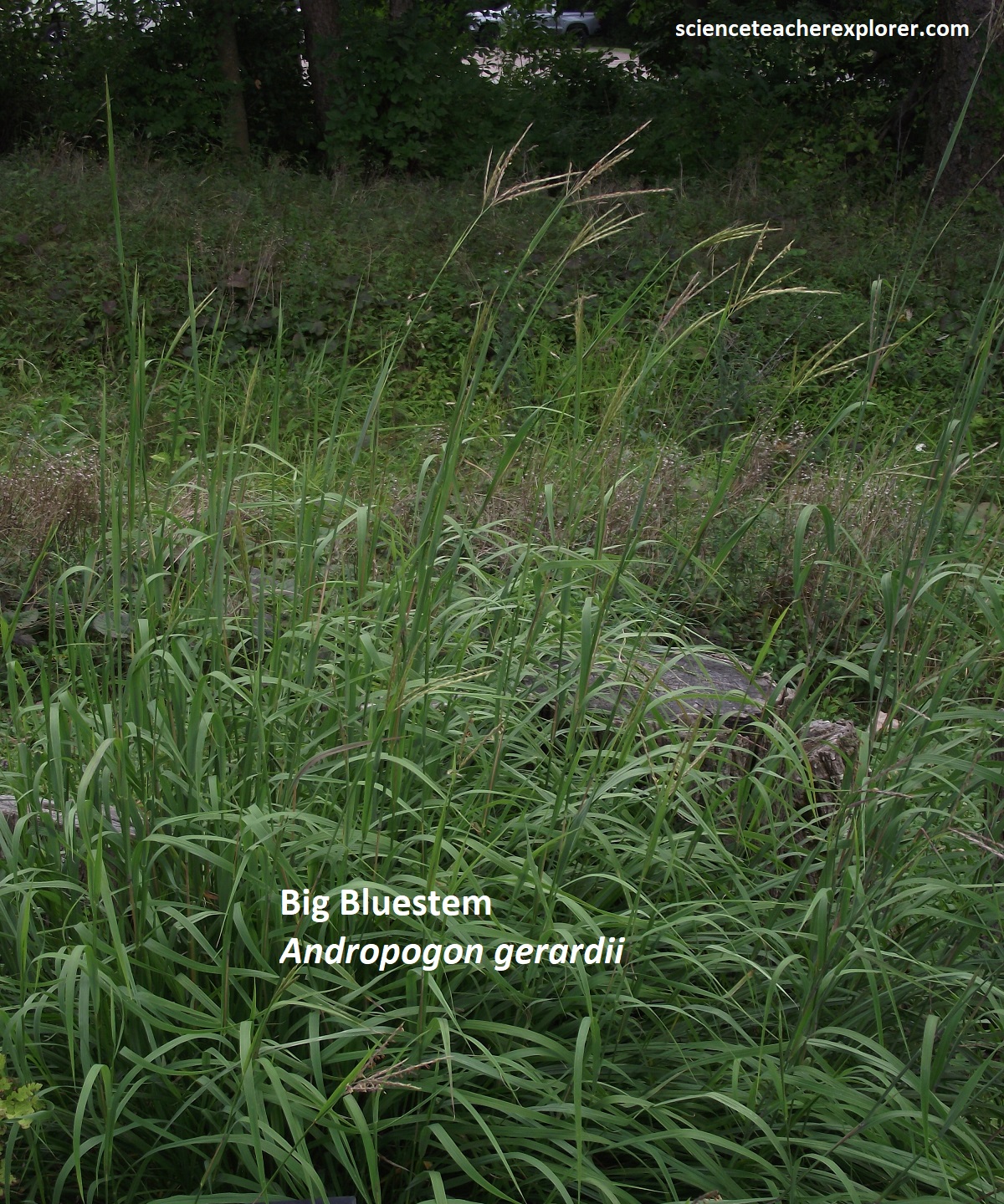
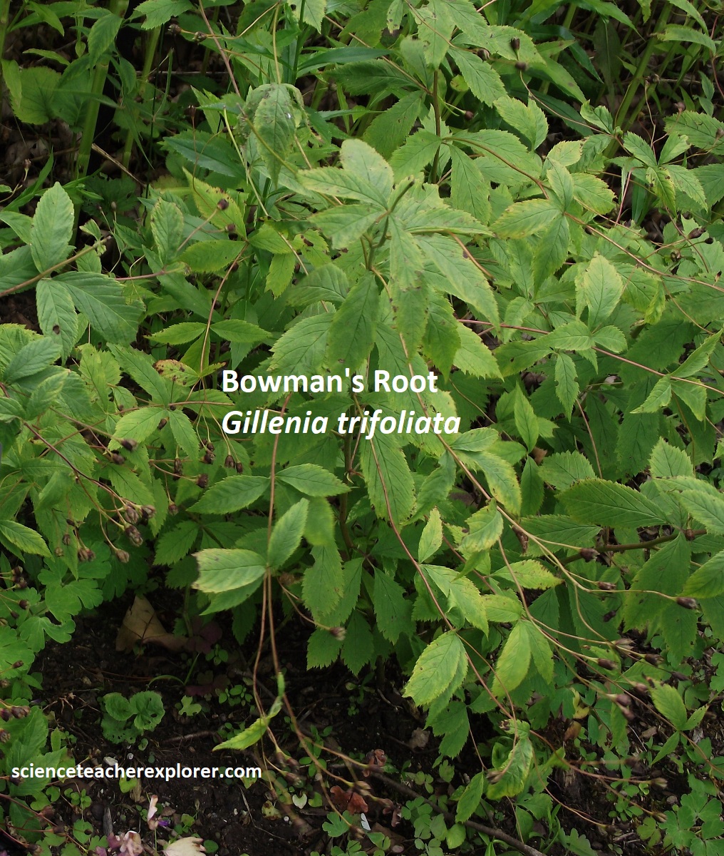
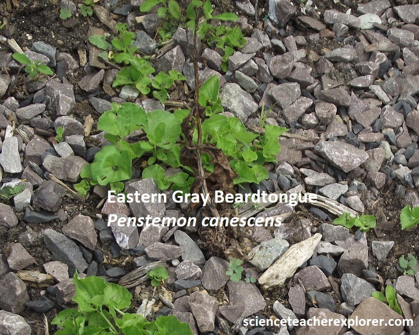


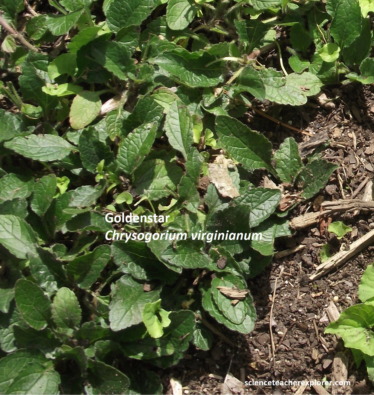

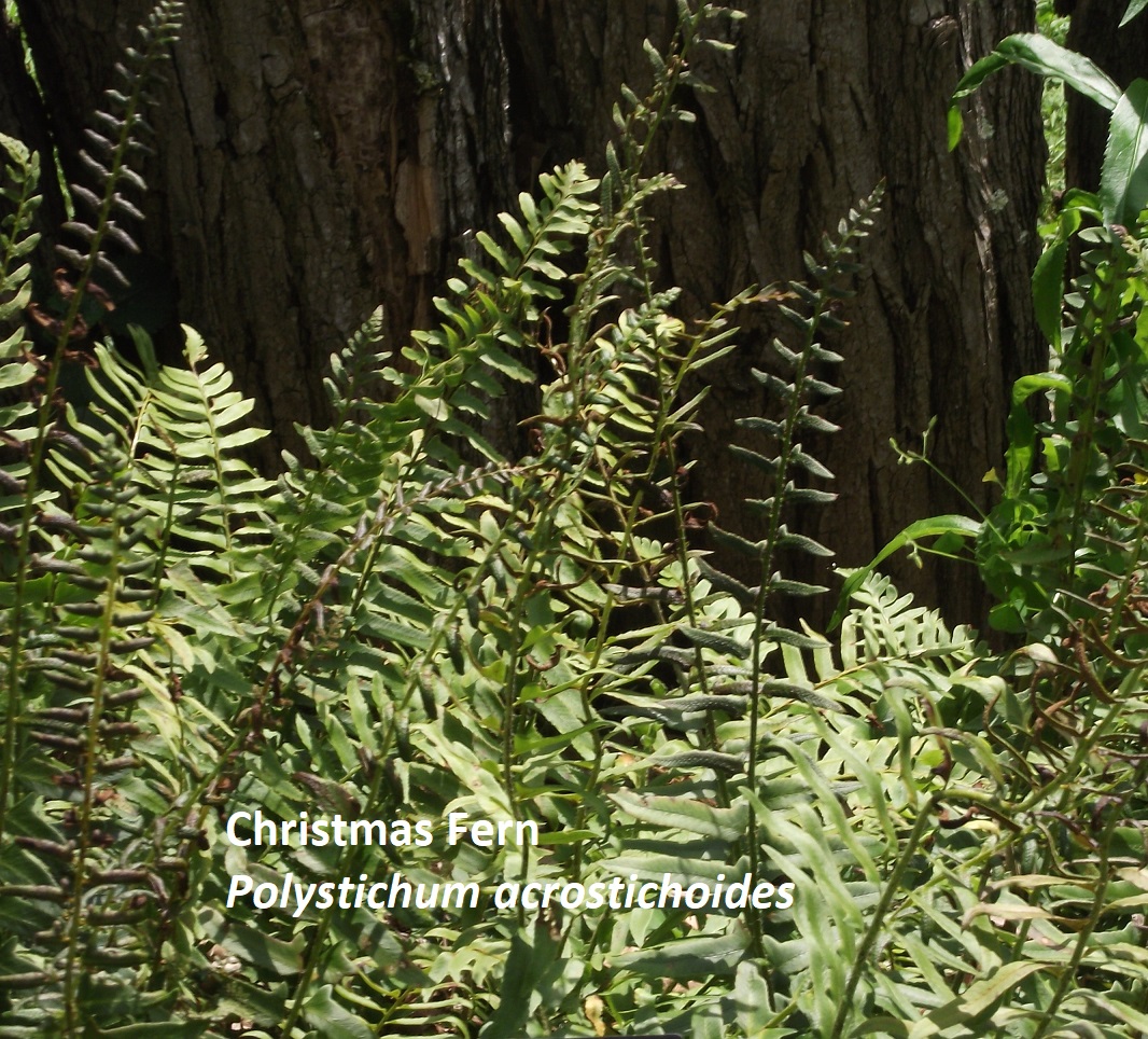
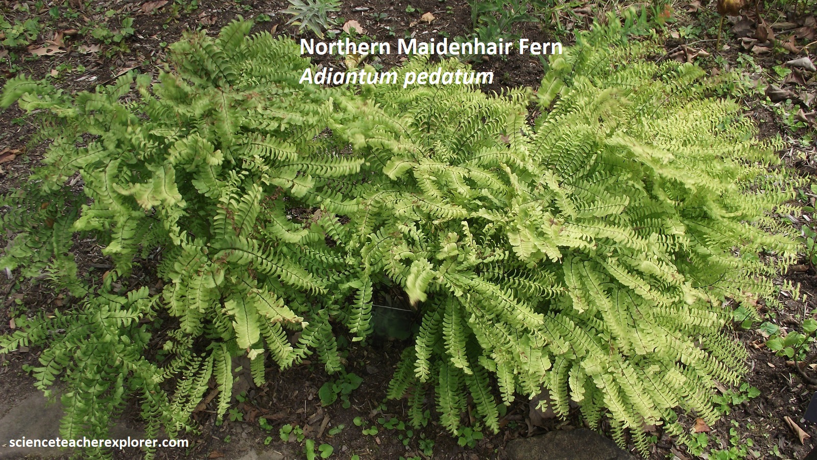


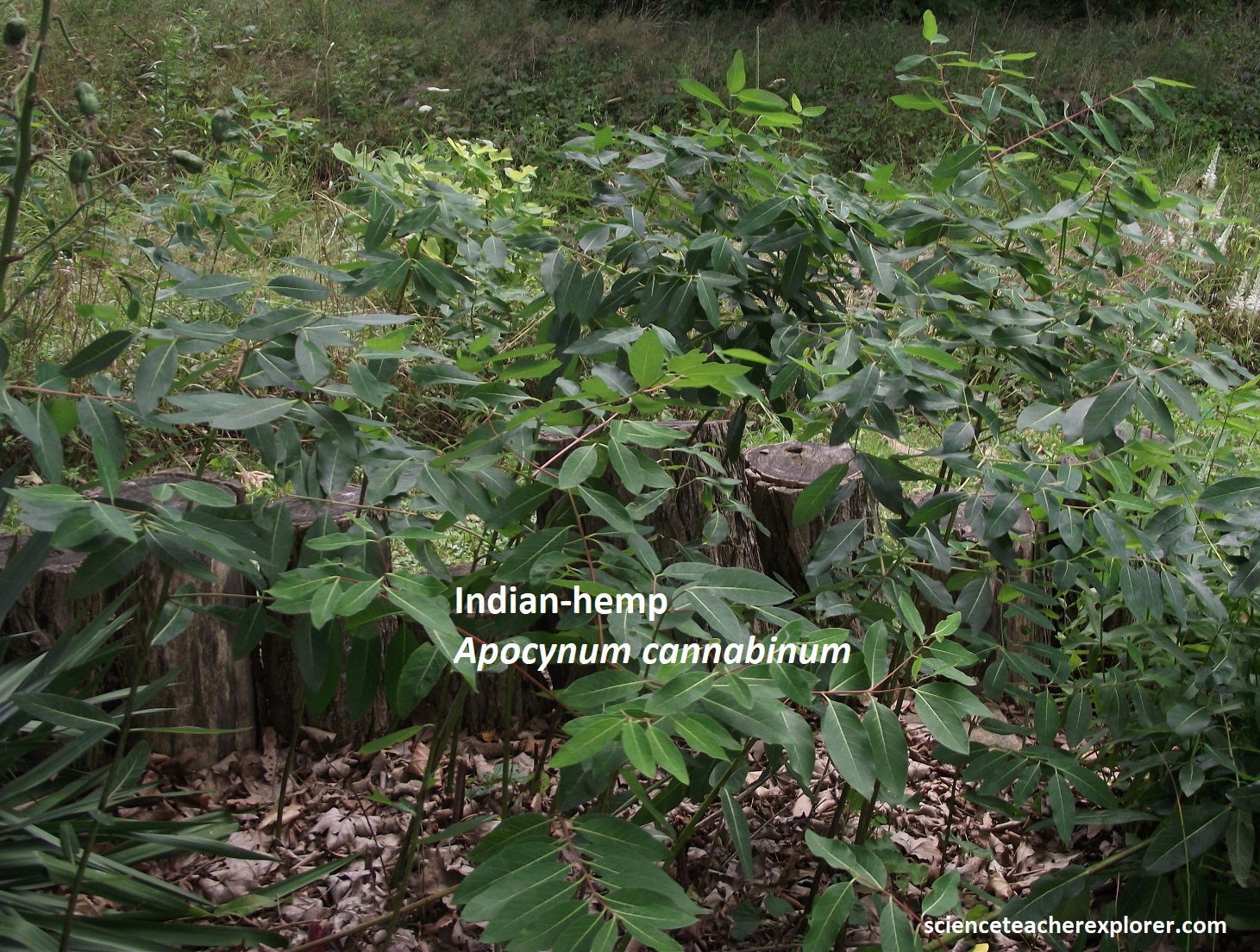
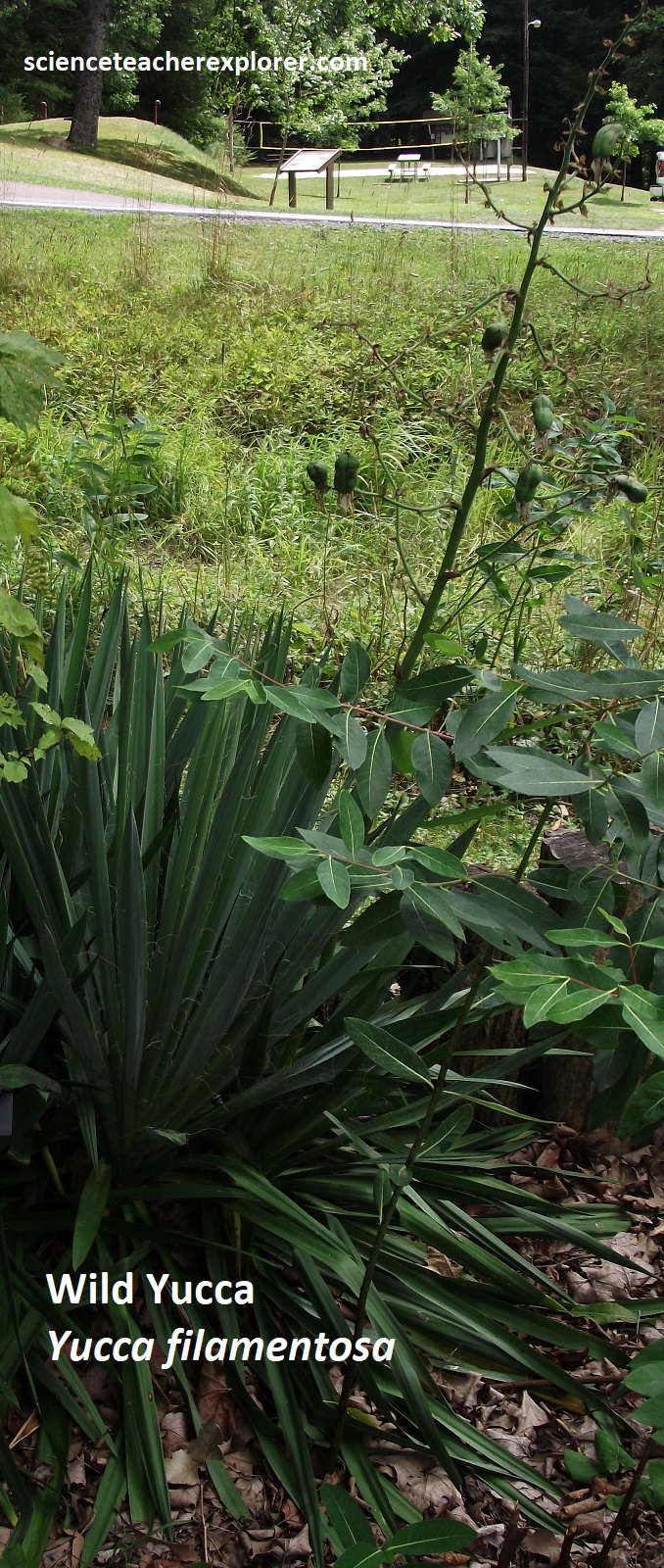
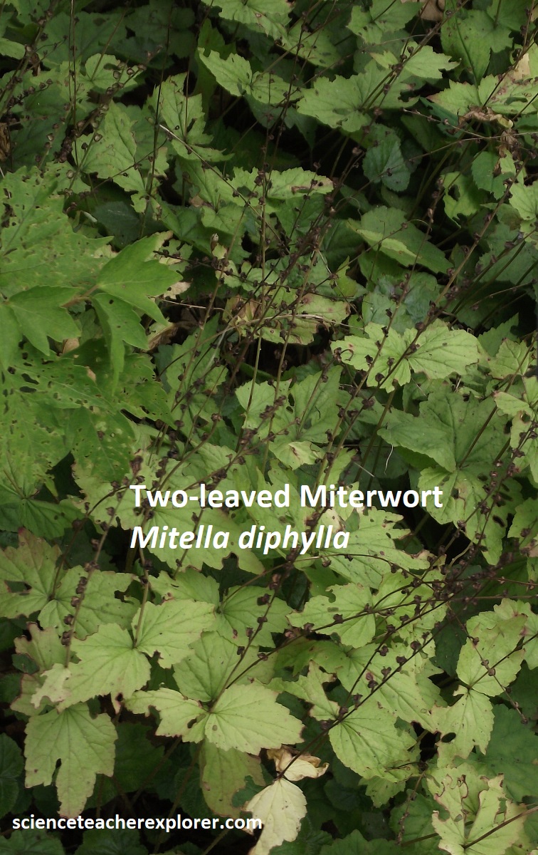
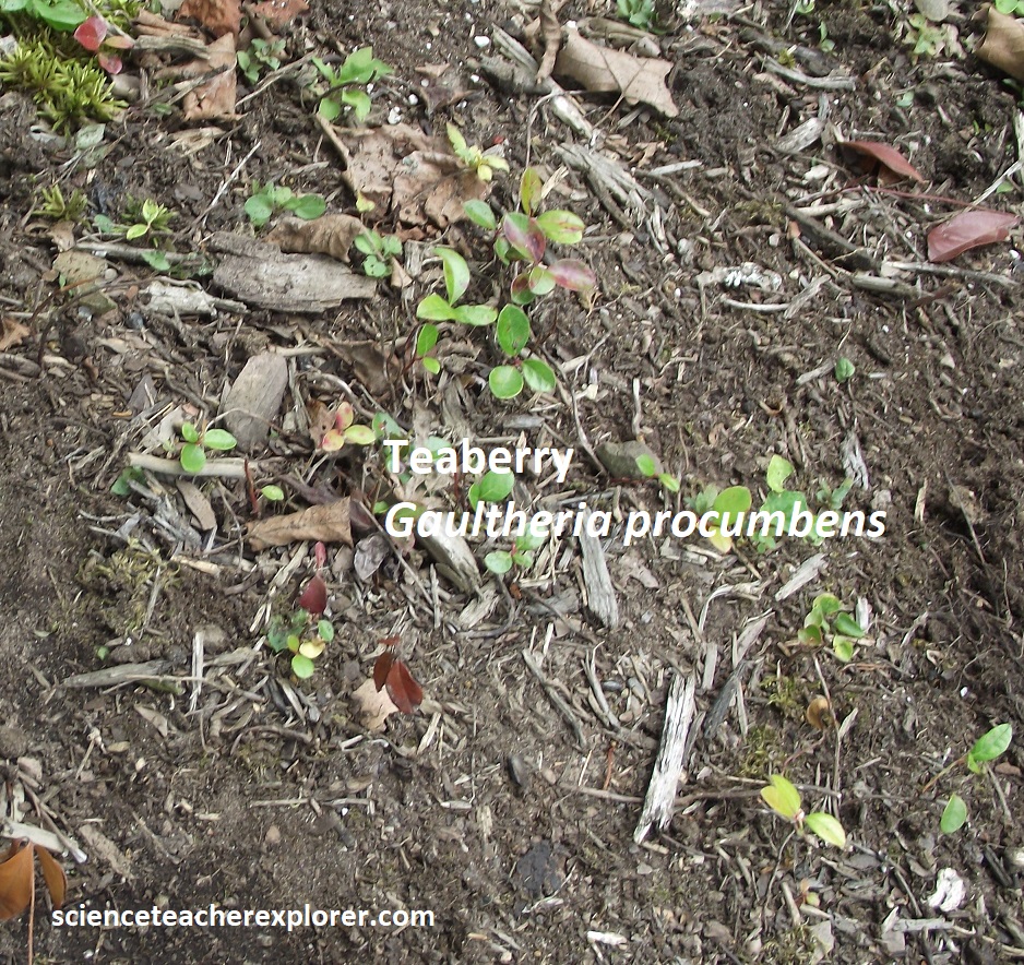
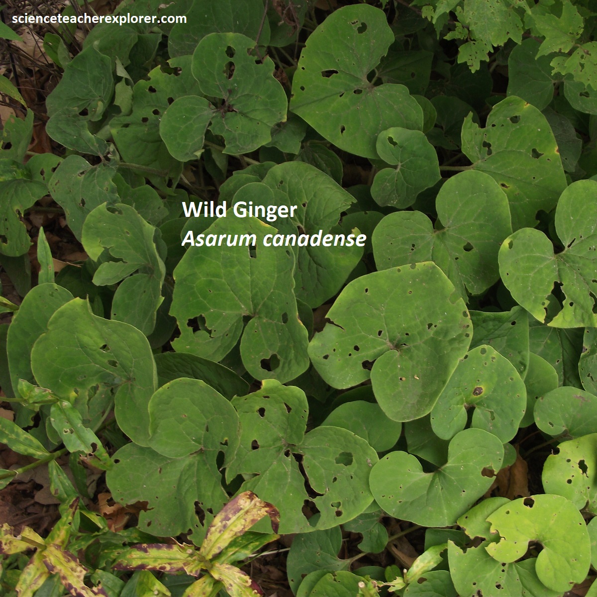
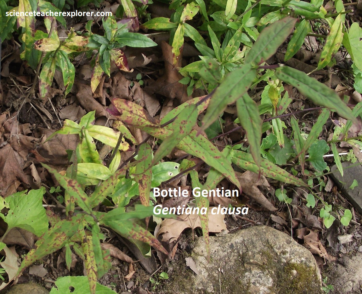


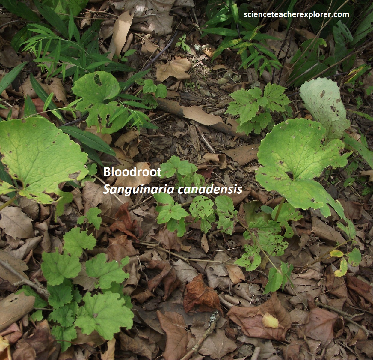
Over 50 plant species native to Garrett County are at work in the above garden. In 1850, this land was the site of a 3-story gristmill, which processed wheat, buckwheat and cornmeal for the people who lived in the village of New Germany. John Swauger built the gristmill piece by piece, using hardwood from his own property, carving and polishing many of the gears and pulley by hand.
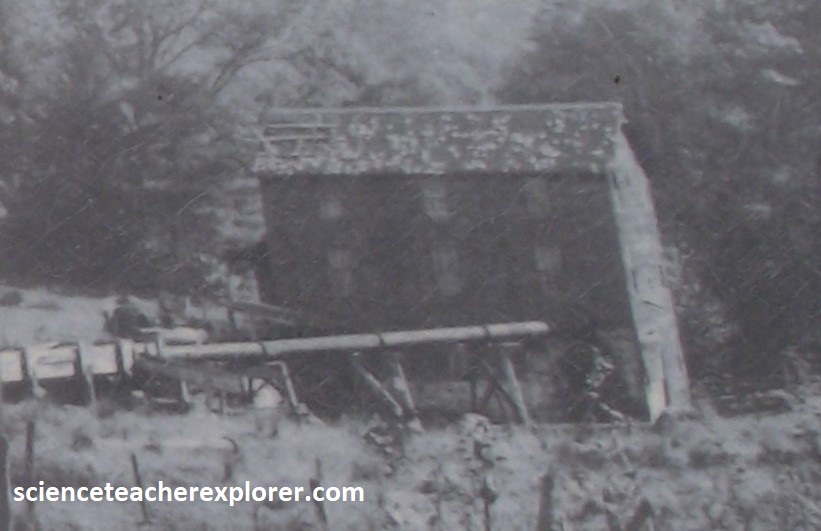
In the early 1900s the mill was sold to Irish immigrants Phillip and Michael McAndrew, who build an imposing 10 room home next to the mill. The mill remained at this location until the early 1930s when President roosevelt’s Civilian Conservation Corps bulldozed the entire operation to make way for the parking facility at New Germany State Park.
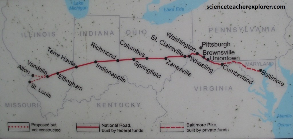
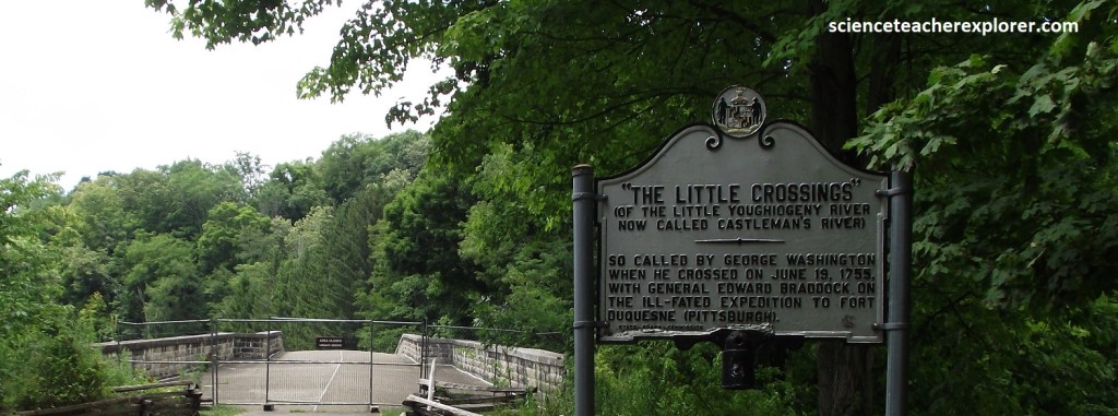
Becky and I returned to US40A and continued driving east. All the way to Cumberland, US40A traces the well-trodden path of the old National Road, an ancient footpath first forged by Native Americans, then trekked by explorers and militiamen into the unmapped lands beyond the Appalachians. In the early 1800s, the government, (wanting to open up it’s untamed western territory), widened the path, paved it with broken stone, and dubbed it the nation’s first federal road, (“the Pike”). In no time long lines of covered wagons churned westward toward Oregon and Santa Fe, joining herds of teamsters and stagecoaches on the slow, bumpy trek.
In 1806, the United States Congress commissioned David Shriver Jr., a celebrated Cumberland civil engineer, to locate, plan, and construct the National Road, including the Casselman River Bridge, (pictured above & below). Shriver personally took charge of the bridge construction that began in 1813. The stone arch of the bridge is 8.7m wide, 1m thick, and from end to end spans 27m, designed to accommodate C&O Canal boats should they someday cross the Alleghenies. When it opened to traffic in 1817, the Casselman river Bridge was the largest single span stone arch bridge in America.
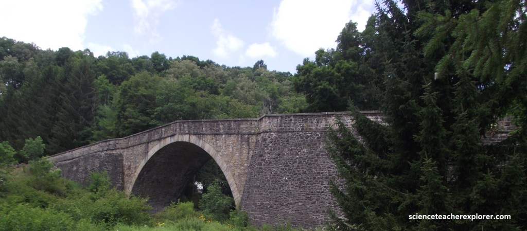
Since it’s construction, many famous personalities have crossed over this bridge including Presidents James Monroe, Andrew Jackson, William Henry Harrison, James Polk, Zachary Tayler, and then-Congressman Abraham Lincoln. In 1953, following the completion of a new bridge and US40A nearby, officials closed the Casselman river Bridge to all but pedestrian traffic created the location as a National Historic Landmark.
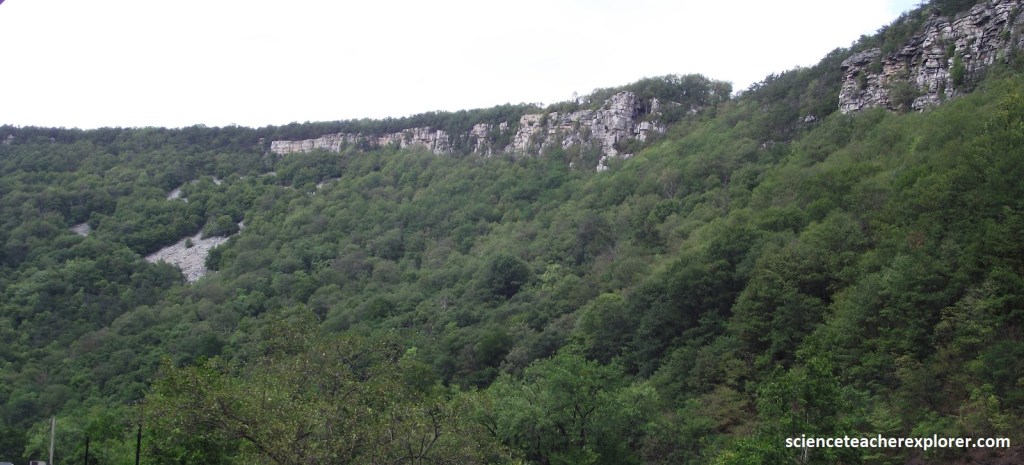
Beyond the New Germany State Park turnoff & the “National Road” recognition location, US40A squeezes between the sheer 340m bluffs of Cumberland Narrows.
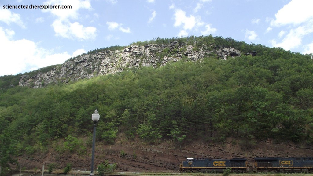
The geology of the Cumberland Narrows in Maryland includes Limestone, sandstone, and shale. The Narrows is a 2km water gap in the Appalachian Mountains that was formed by erosion thousands of years ago. The rocks that form the cap of the Cumberland Plateau were laid down in a shallow sea during the Mississippian and Pennsylvanian periods. The higher elevations of the Cumberland Narrows feature Tuscarora and Juniata sandstone rock formations.
Past the narrows, US40A slides into Cumberland, an alluring town of historic red brick buildings nestled in the mountains. Here in the early 1750s, George Washington, as a young lieutenant in the French and Indian War, dreamed of a magnificent canal that would carry goods between the frontier and the coast. He never had the chance to build it, but the idea took form in 1828, when President John Quincy Adams broke ground in Washington, D.C., and work was begun on the Chesapeake & Ohio Canal, (pictured below). {C&O Canal}
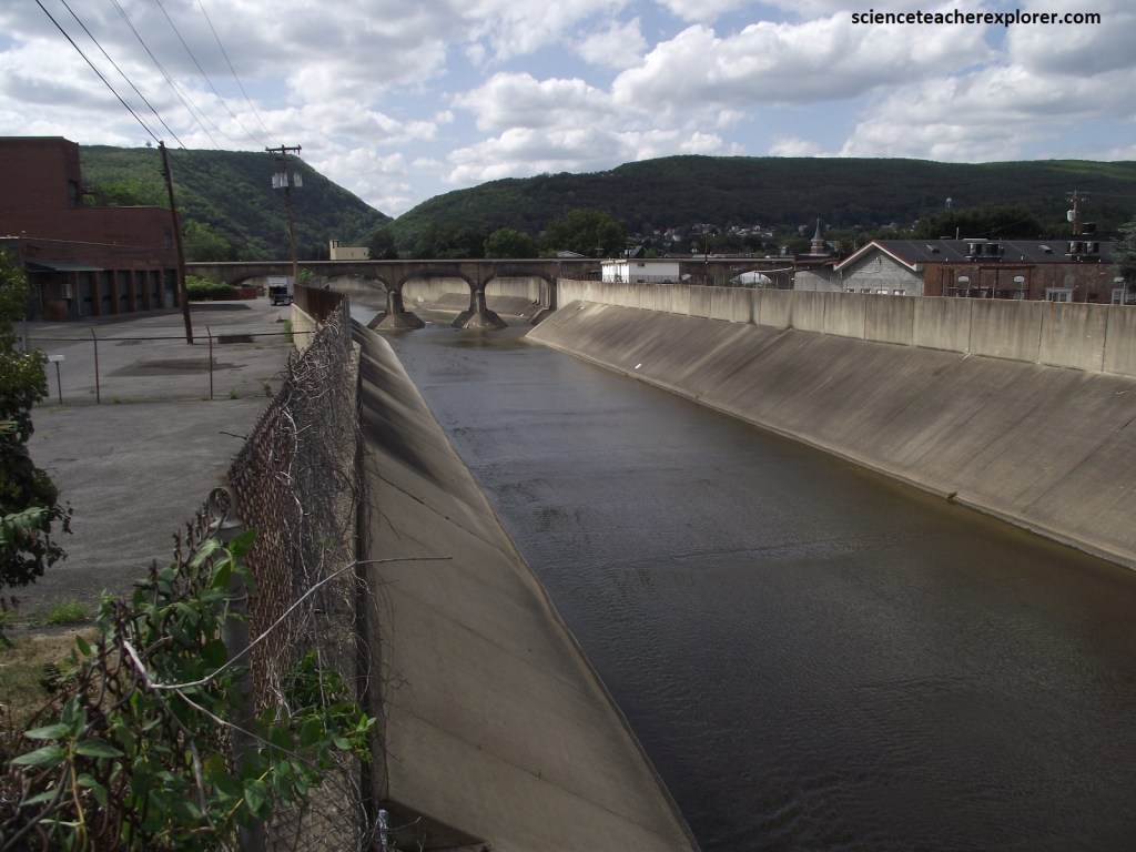
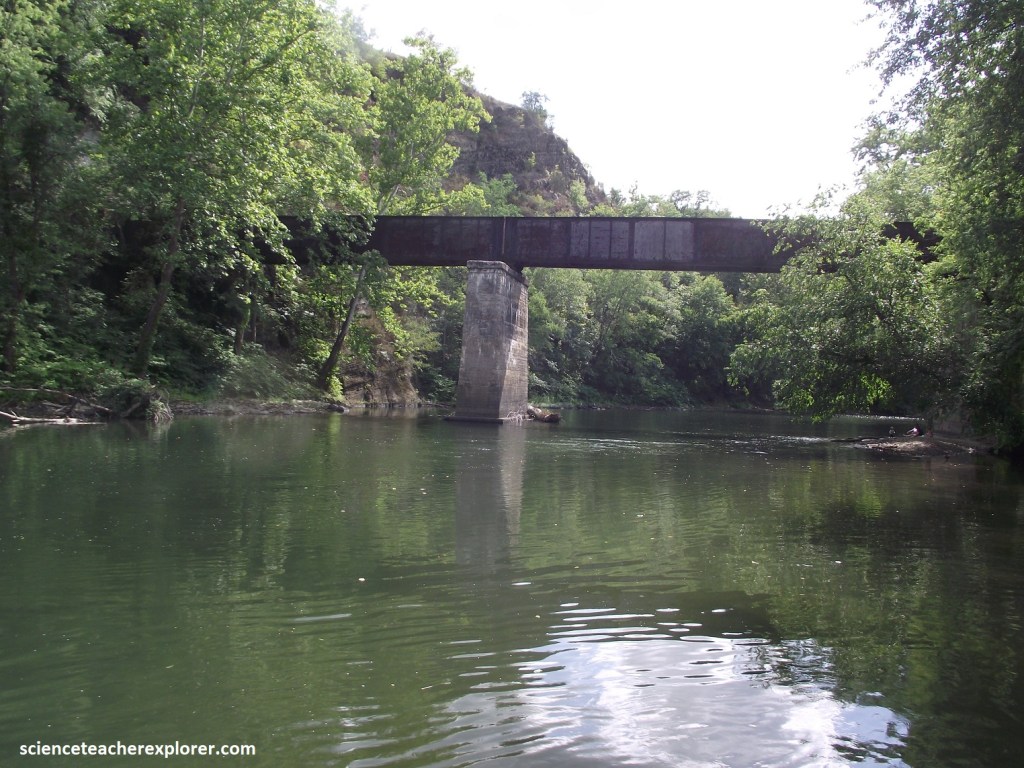
the old canal operated for nearly a century, its husky mules plodding beside the waterway with low-slung boats in tow. But the mules and canal boats were no match for the sleek engines of the Baltimore & Ohio Railroad, (the nation’s first), which come barreling up and over the mountains and eventually signaled the demise of the canal. Today the last lock to be built before all hopes for the canal were dashed, stands down by the Potomac in Cumberland, looking forgotten and forlorn beneath, ironically, a railroad trestle, (pictured below).
However, the canal’s demise is a welcome boon for the trekkers/hikers, cyclists, and joggers who swarm to it’s scenic towpath, now part of a national historical park the meanders for more than 290km to Washington D.C.. along the old waterway.

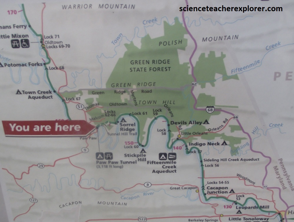
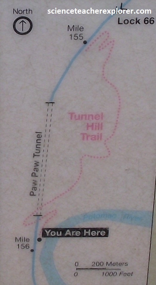
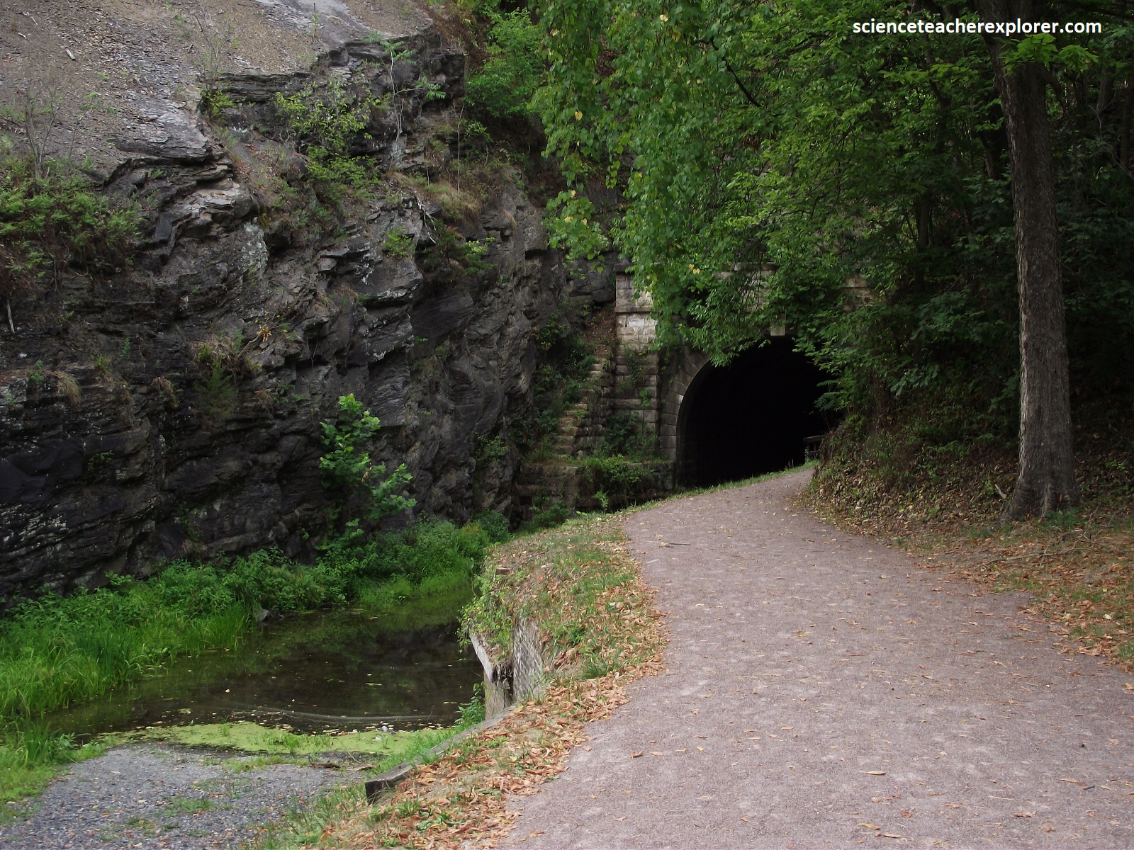
Farther along, US40A rambles across a succession of long ridges and gentle valleys with view of endless forest. At some point on this stretch of road, which heads into Green Ridge State Forest, Becky and I reached the Paw Paw Tunnel.
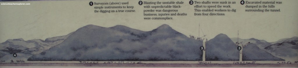
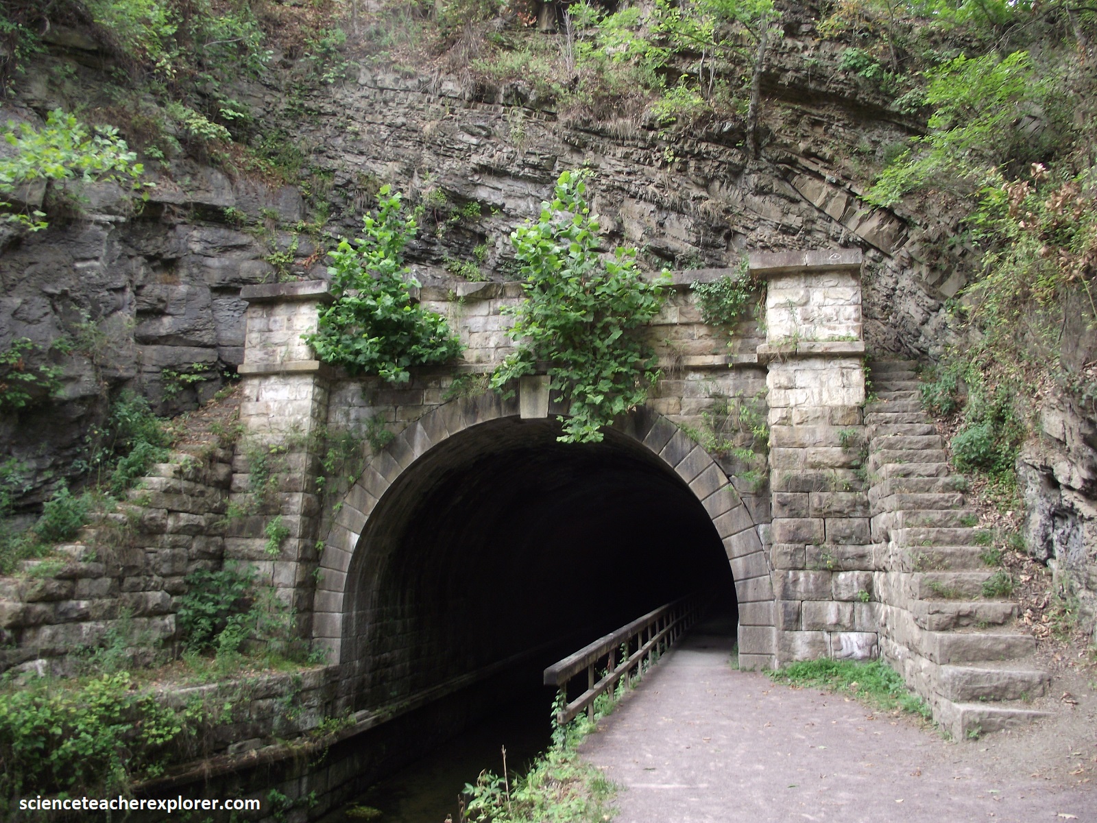
Near the southern tip of the Green Ridge State Forest’s lush carpet of oaks and hickories stands one of the C&O Canal’s greatest engineering feats, the Paw Paw Tunnel, (1,039m long and built of nearly 6 million bricks. {The images below were taken from an interpretive sign on-site}
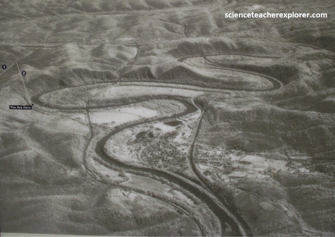
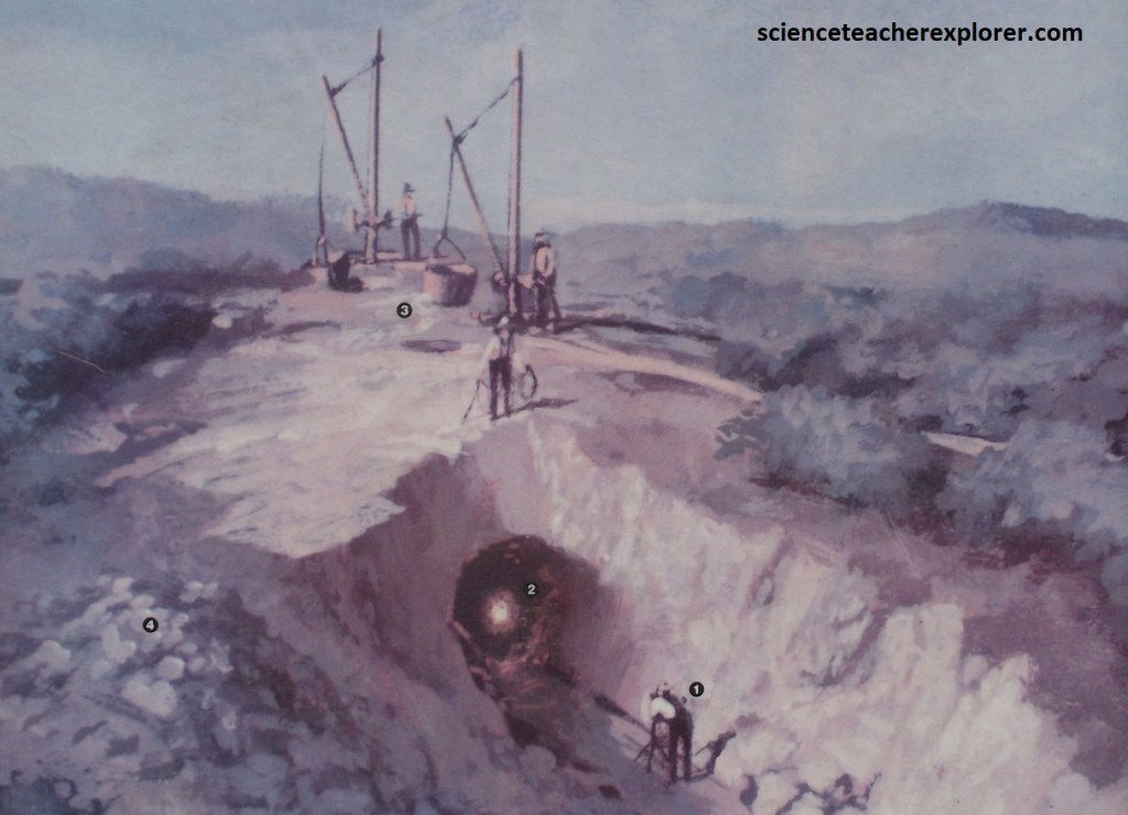
The Potomac River meanders through 9.7km of bends here with steep cliffs dropping to the river, making the digging of a ditch canal nearly impossible. The canal company engineers could have followed a natural fold in the rock stratification to burrow the tunnel, but this would have taken them too far from the river, (depicted as a #1 in the photo above). They decided to tunnel a shorter distance diagonally through the rock folds, (depicted as a #2 in the photo above). This decision, however, led to many cave-ins because of the predominate soft shale hey encountered. The river and rocks here are unforgiving. They cost the canal company time and money in its race with the railroad.
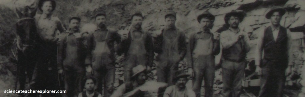
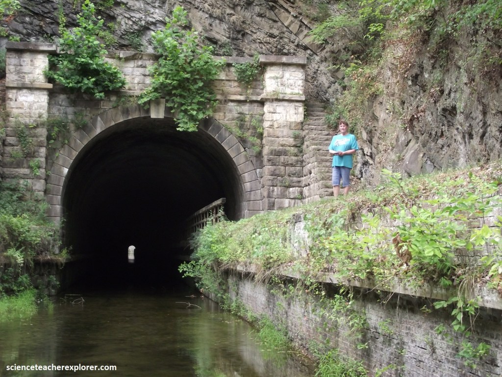
Using what we would consider primitive tools, laborers dug through 1,039m of unstable shale. Picks and shovels, wheelbarrows, black powder, mule power, and back breaking labor built the tunnel here. Irish laborers, British and German stonemasons came together to build the canal and tunnel. Occasionally there were clashes between these diverse groups. {The photos below are of the southern entrance of the Paw Paw Tunnel in 2024}
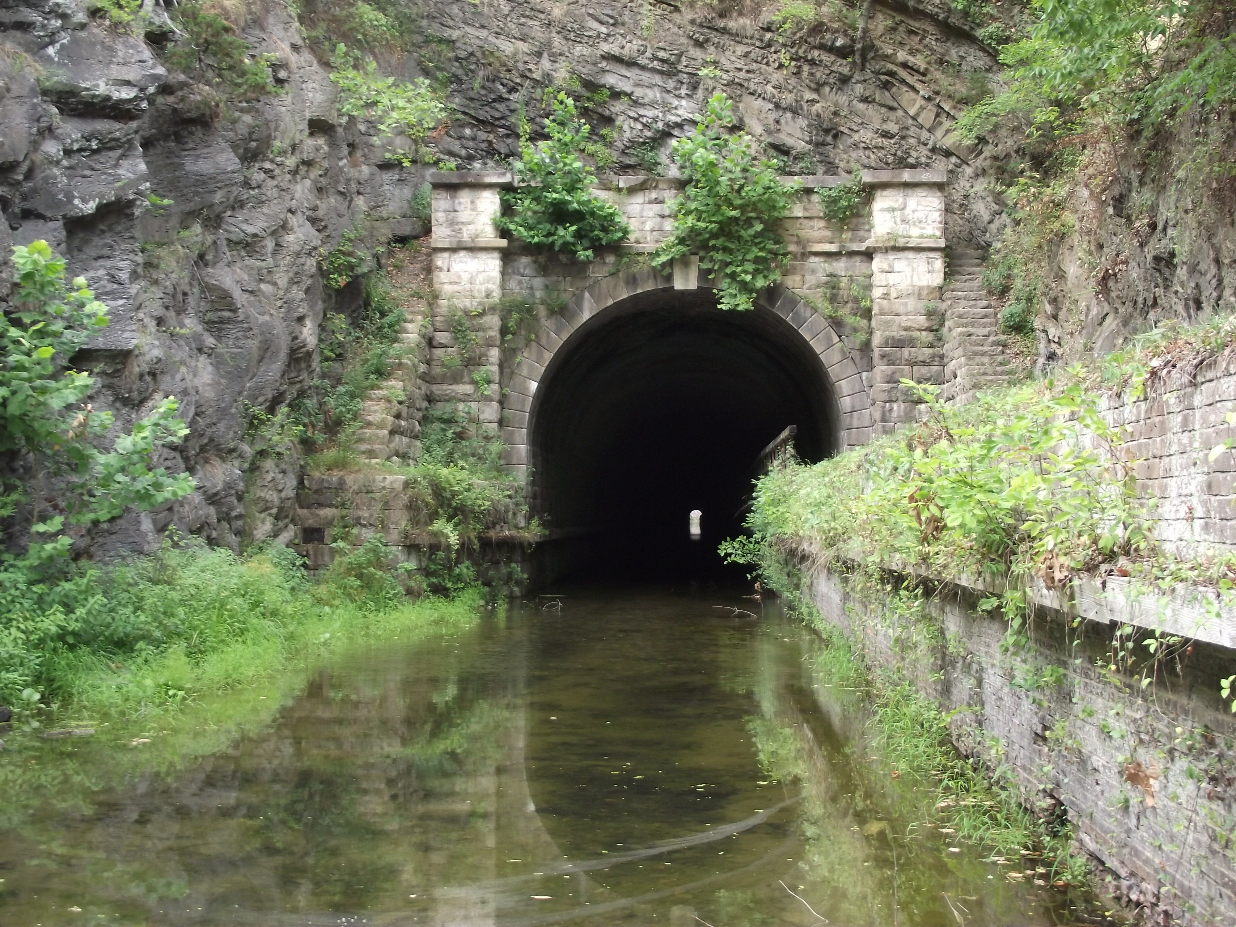
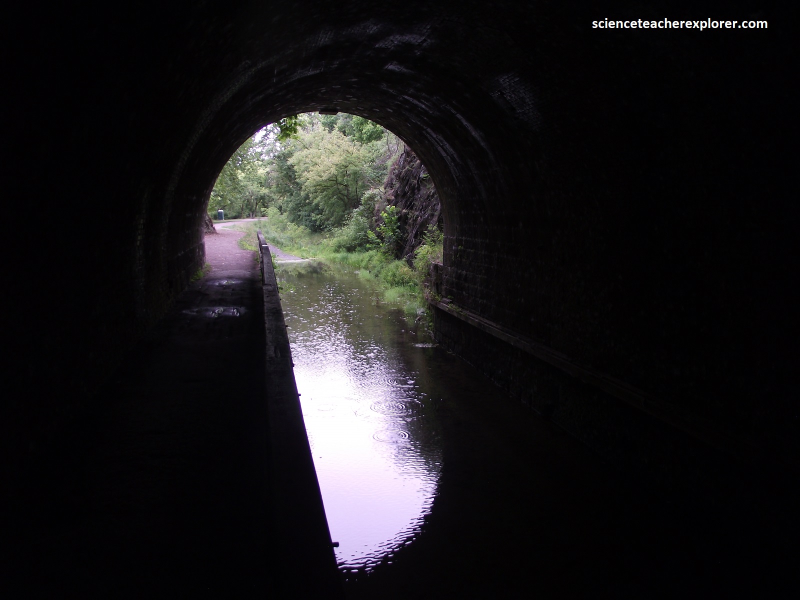
Becky and I trekked a narrow graveled path to the southern entrance of the Paw Paw Tunnel. The path eventually entered into the dark passage, where bats hung from ceiling crevices and ice-cold water oozed from the clammy walls. Since we didn’t bring a flashlight, we decided to not trek through the pitch-black tunnel to the other side. However, it was still quite the adventure.
Hidden in the time-worn mountains of far western Maryland is a pristine province where rivers run deep, forest grow thick, and tiny mountain towns beckon with cozy inns and tales of frontier lore. We enjoyed our adventurous trek across the Panhandle of Maryland.
