Bruce Peninsula, ON
In 2025, Becky (my wife) and I took a vacation in Ontario, Canada.
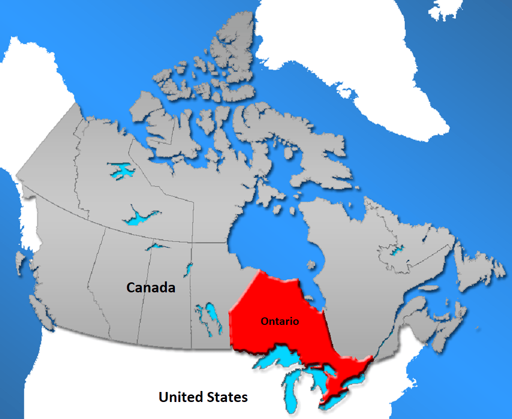
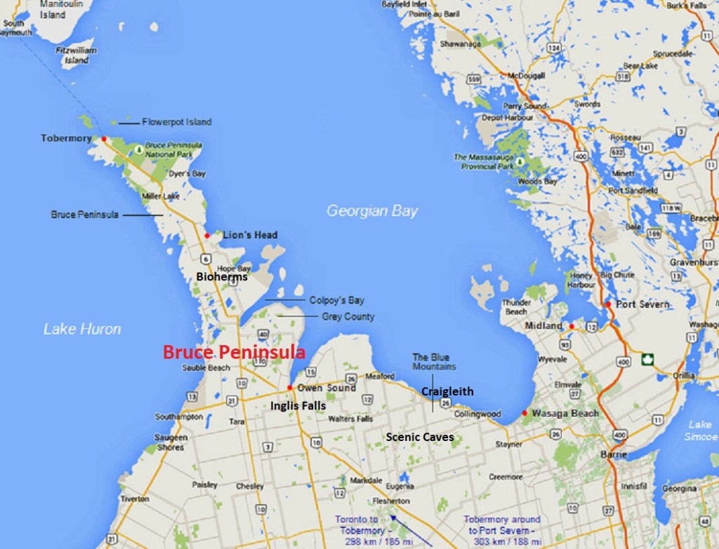
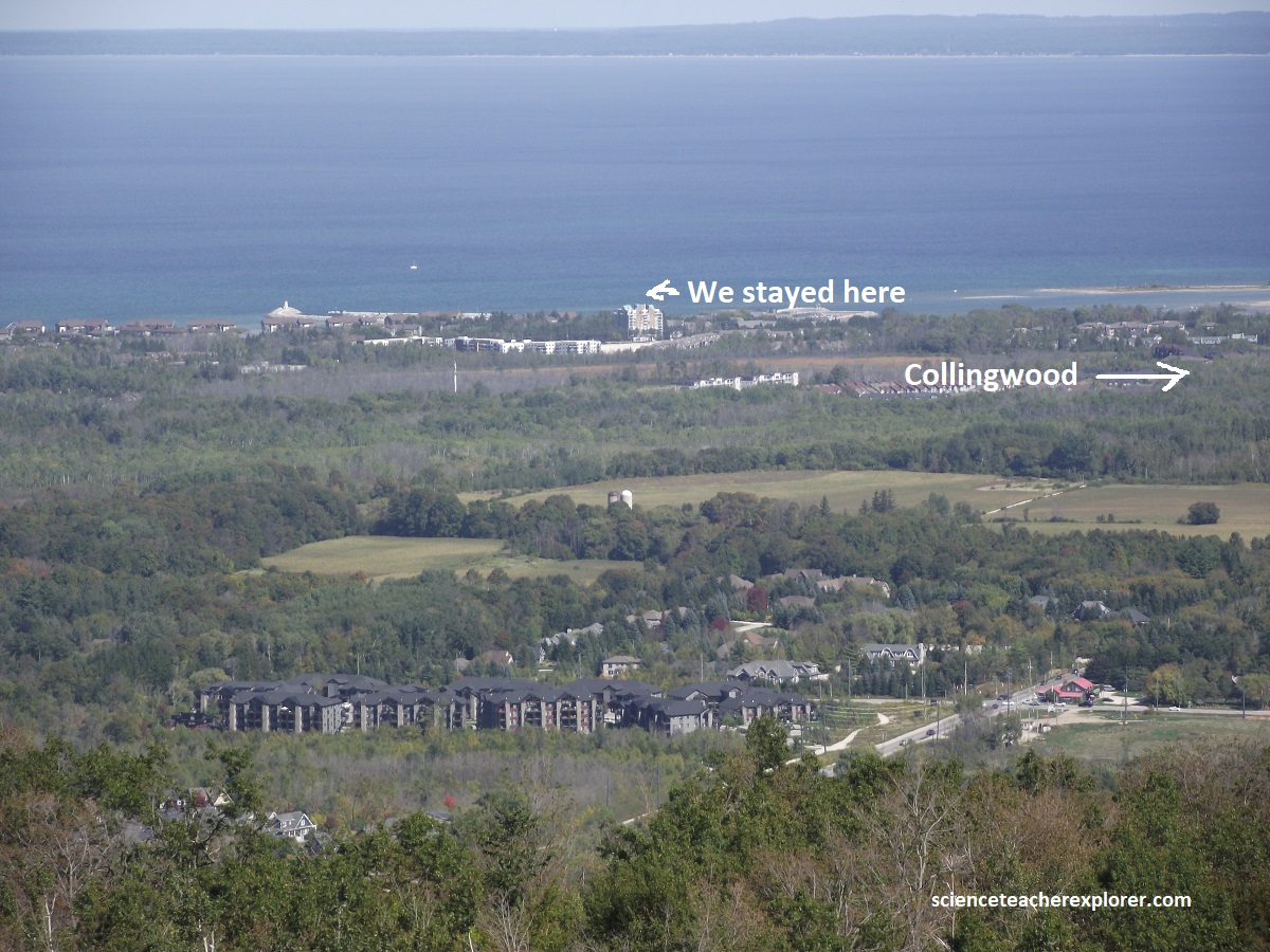
Our primary focus was to explore and trek the Bruce Peninsula. Our base was in Collingwood, Ontario; next to the beautiful Georgian Bay.
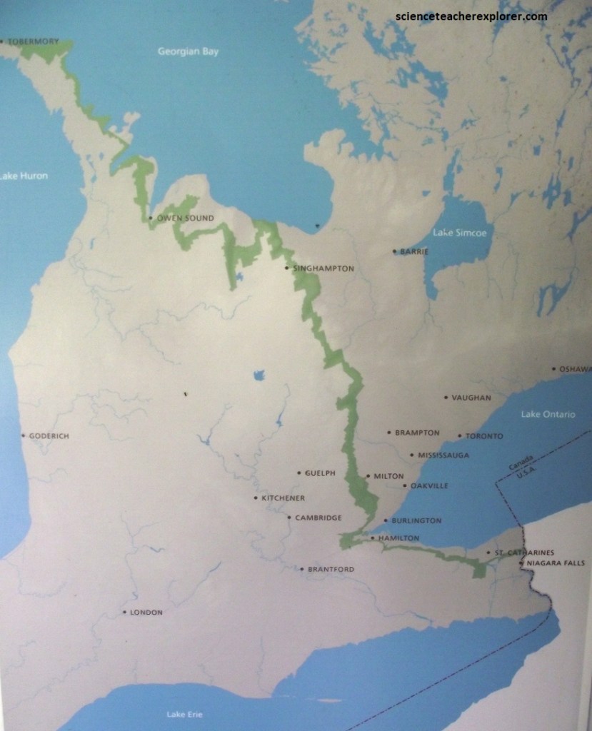
The Niagara Escarpment stretches 600km from Niagara to the tip of the Bruce Peninsula where it steps across to Manitoulin Island and on to Michigan.
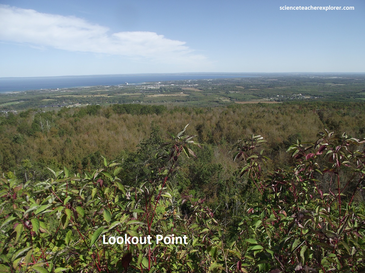
The gaps in the Niagara Escarpment now flooded by Georgian Bay waters are really large valleys cut by glaciers. The highest point along the Escarpment is reached at the Blue Mountain, (near Collingwood), which stands 300m above Georgian Bay. This is where I started to explore. The “Scenic Caves” on the Blue Mountain.
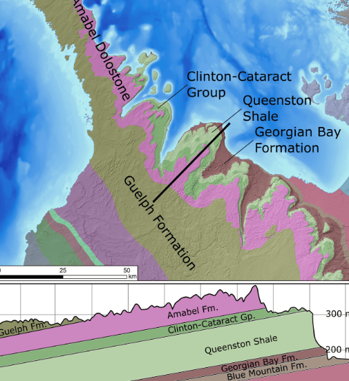
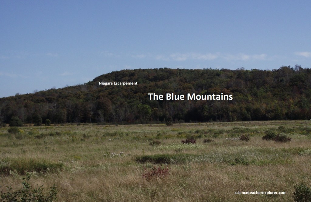
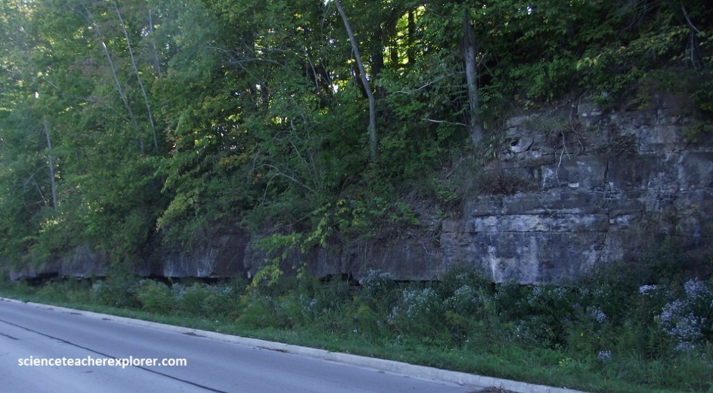
The Niagara Escarpment is the northern and eastern edge of the hard Lockport/Amabel dolostone which forms a protective cap covering softer Ordovician shales below. Dolostone is really a limestone made of much harder by chemical changes that occurred when it was buried at depth below other rocks. Magnesium, dissolved in deep basin groundwaters, slowly invaded the rock changing this calcium-carbonate dominated limestone to harder magnesium-dominated dolostone. Rocks found below and above the dolostone layer are softer, and these layers erode away leaving the edge of the harder dolostone as a steep cliff such as rocks found on the Blue Mountains, (pictured below).
The face of the Niagara Escarpment contains many examples of “fissure caves”, which occur where the dolostone cap rock has been stretched and cracked. Collingwood’s “Scenic Caves” are a good place to begin exploring these structures.
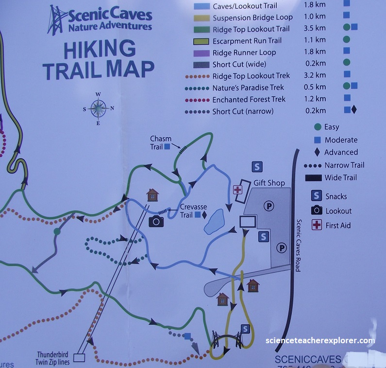
The “Scenic Caves” is a 370-acre natural attraction that is set atop the highest point of the Niagara Escarpment within a UNESCO biosphere reserve. It features a 450-million-year-old labyrinth of caves, historic Petun First Nations sites, and Southern Ontario’s longest suspension bridge. It spans 140m and hangs 25m above the valley floor, offering panoramic views stretching 10,000 square kilometers across Georgian Bay.
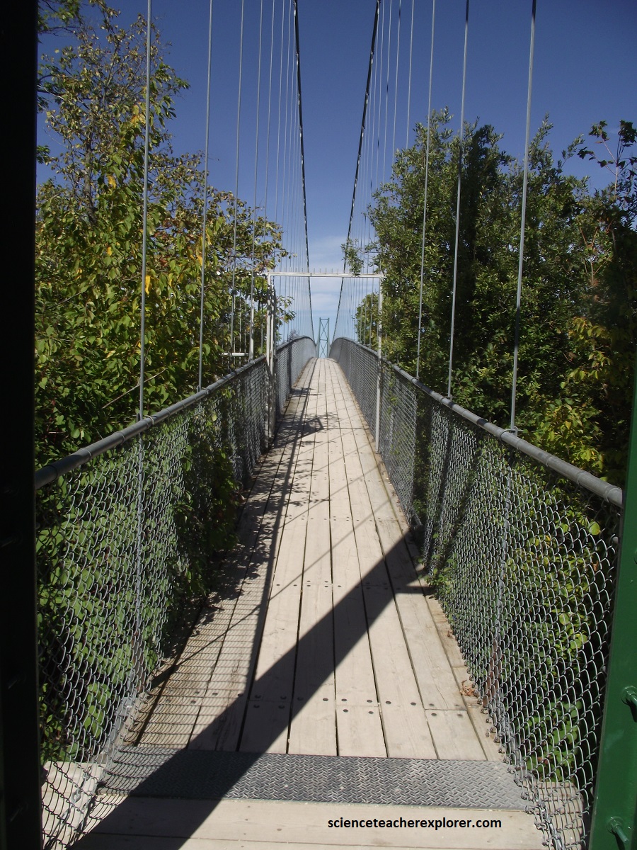
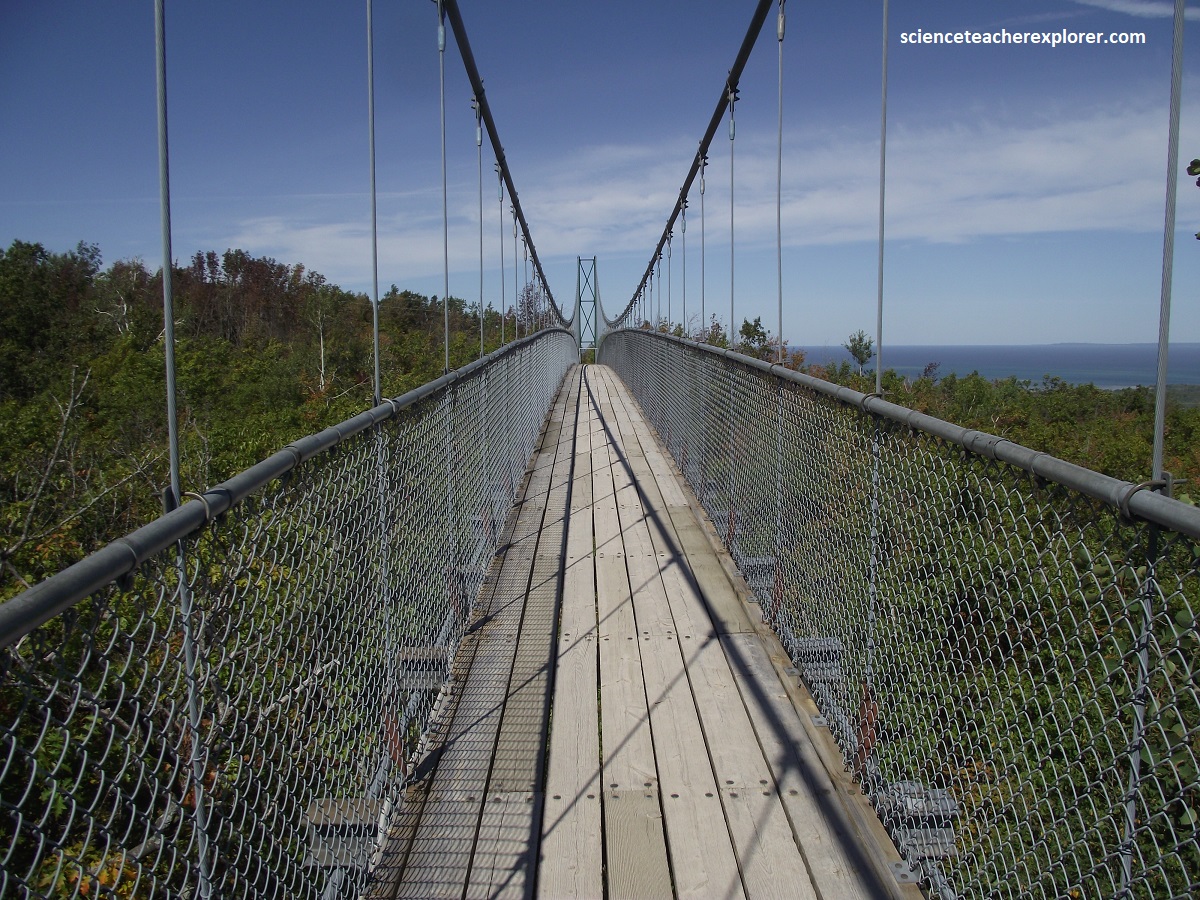
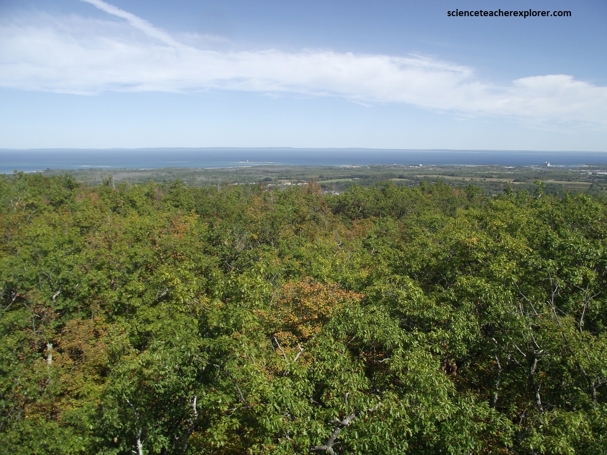
The bridge offers an outstanding view northward over Georgian Bay and it is here that the Niagara Escarpment reaches it’s maximum elevation of 510m above sea level.
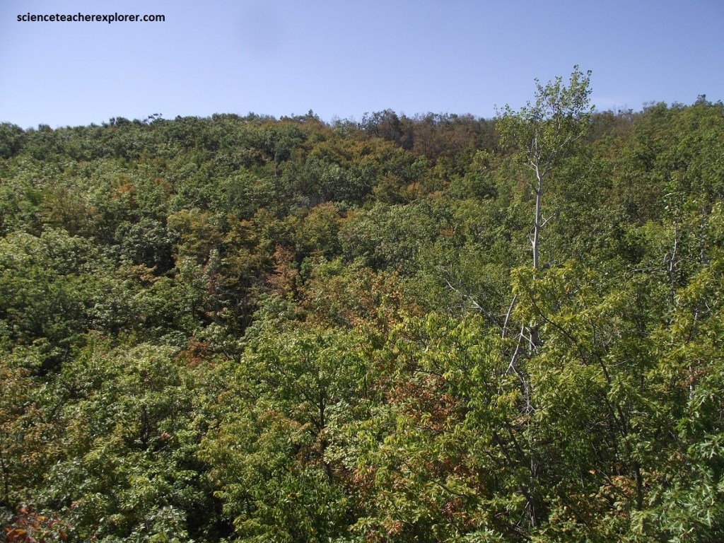
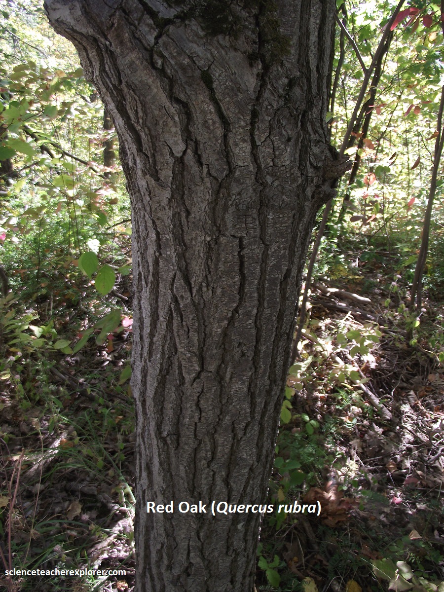
The “Scenic Caves” is primarily covered with a lush deciduous forest dominated by sugar maple trees. The canopy and understory also include white ash, American beech, black cherry, poplar, ironwood, basswood, butternut, hawthorn, apple, paper birch, and yellow birch. Red oak trees thrive near the suspension bridge area. Hemlock trees are also historically and ecologically significant, noted for their tannin-rich bark.
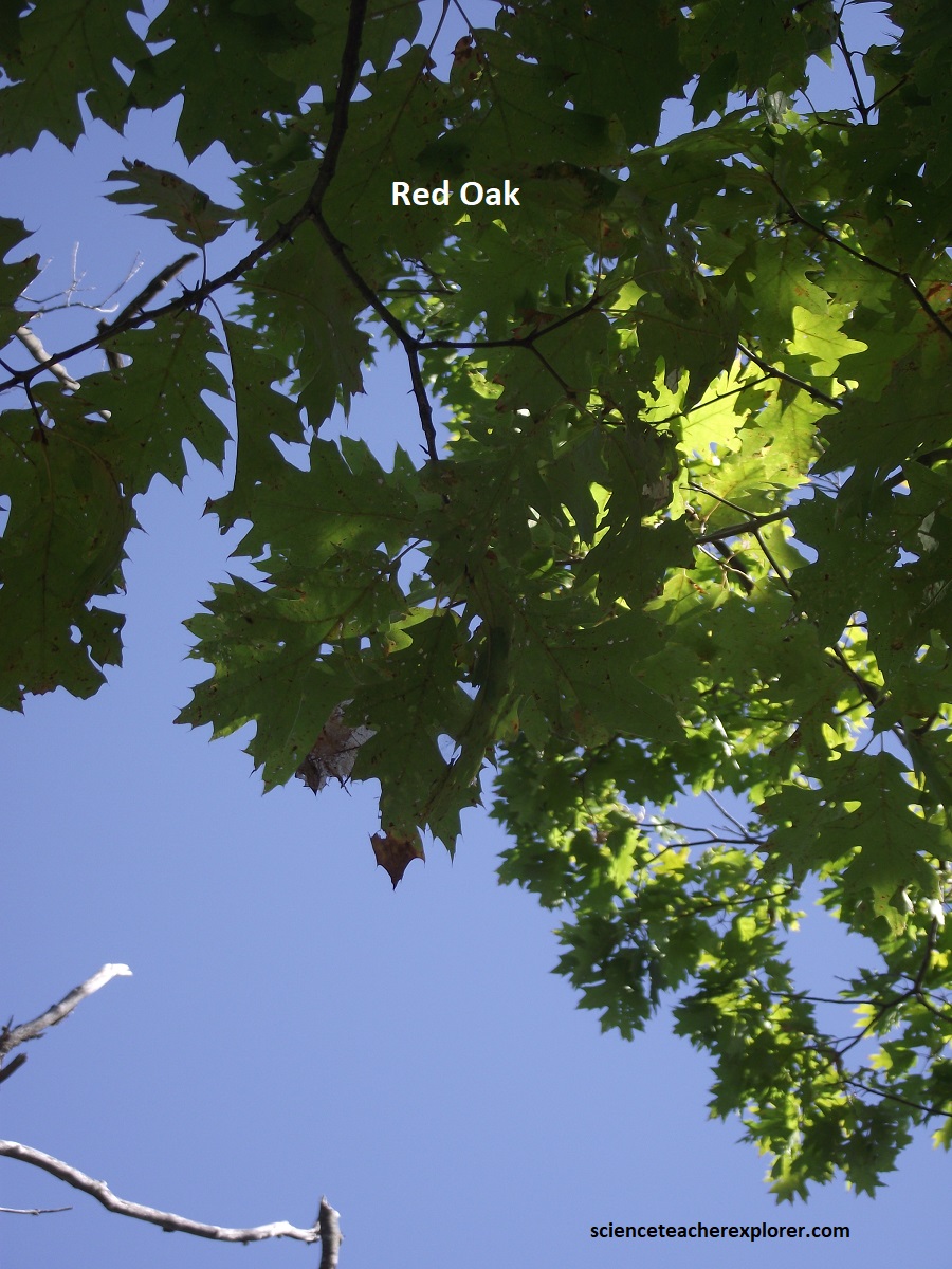
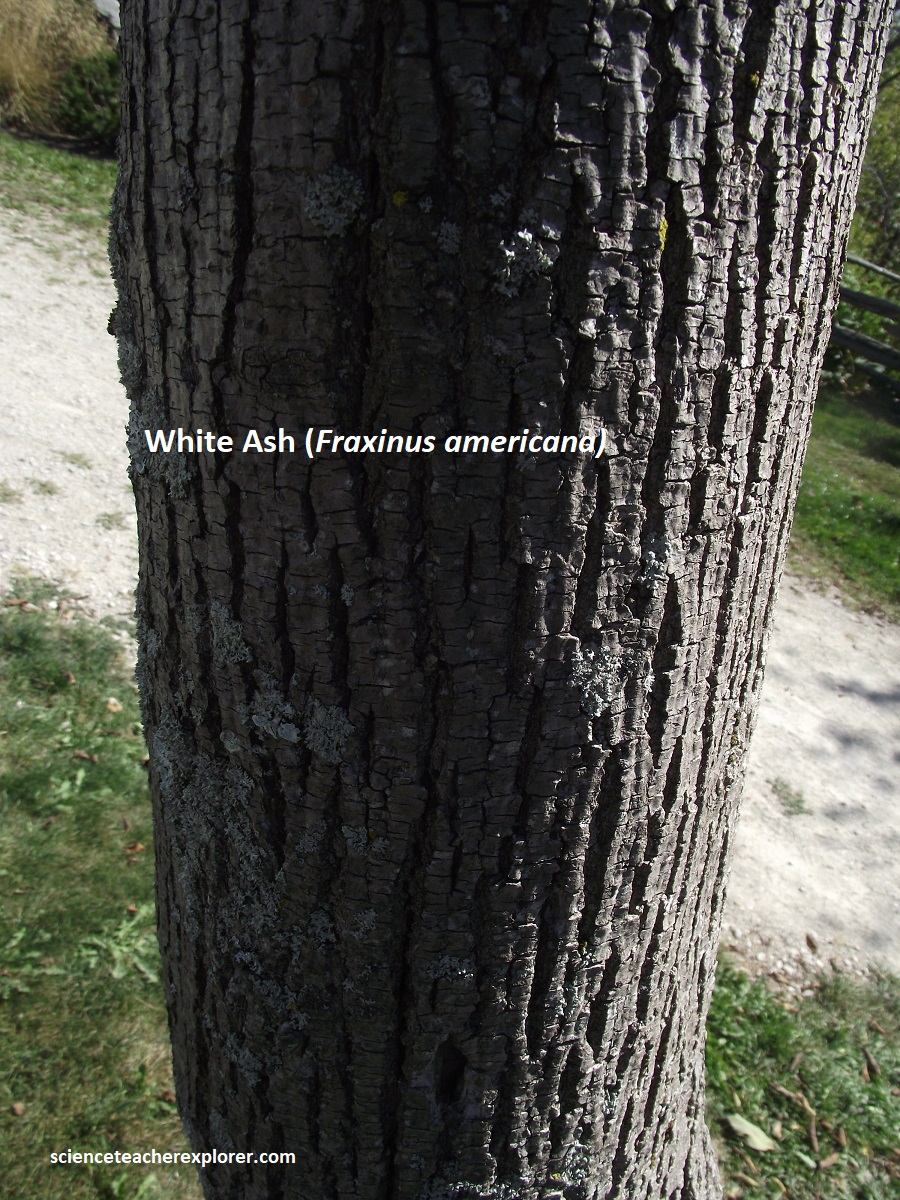
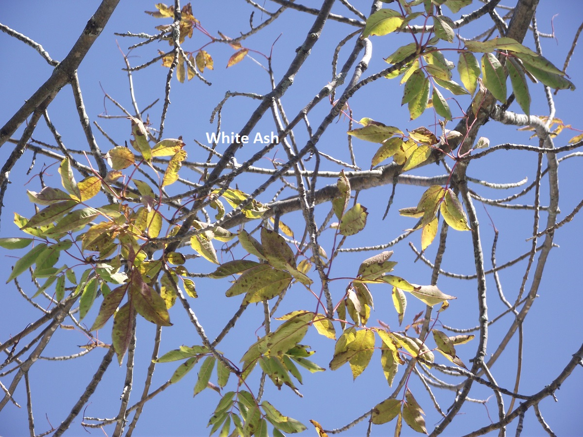
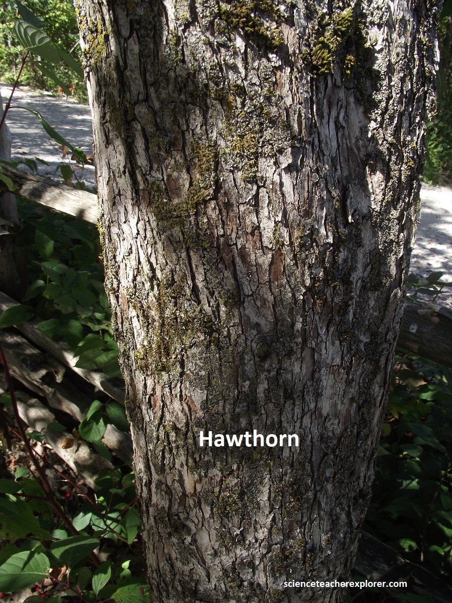
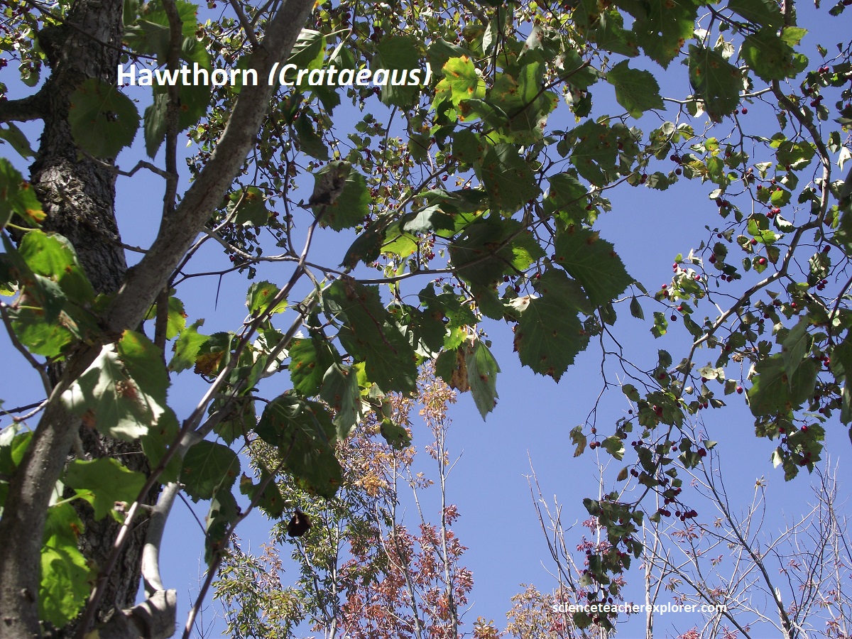
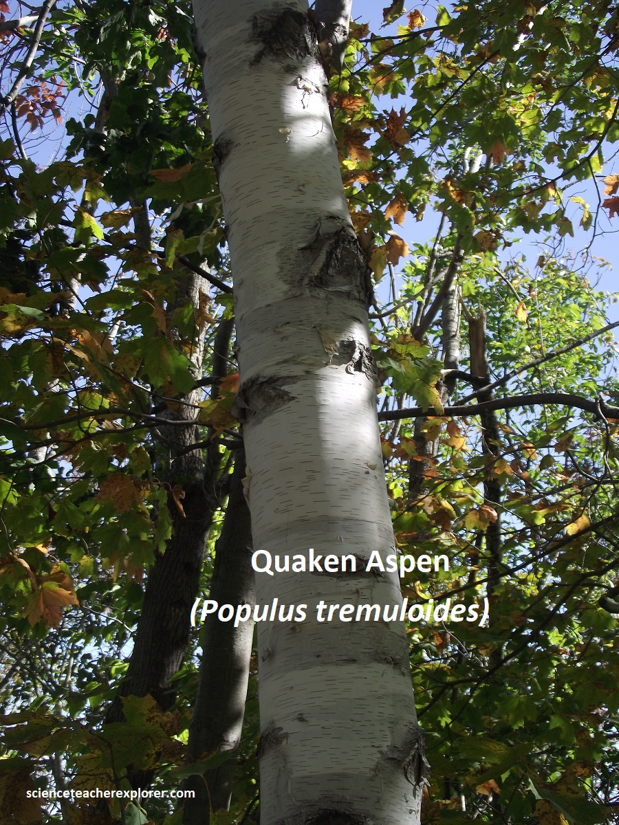
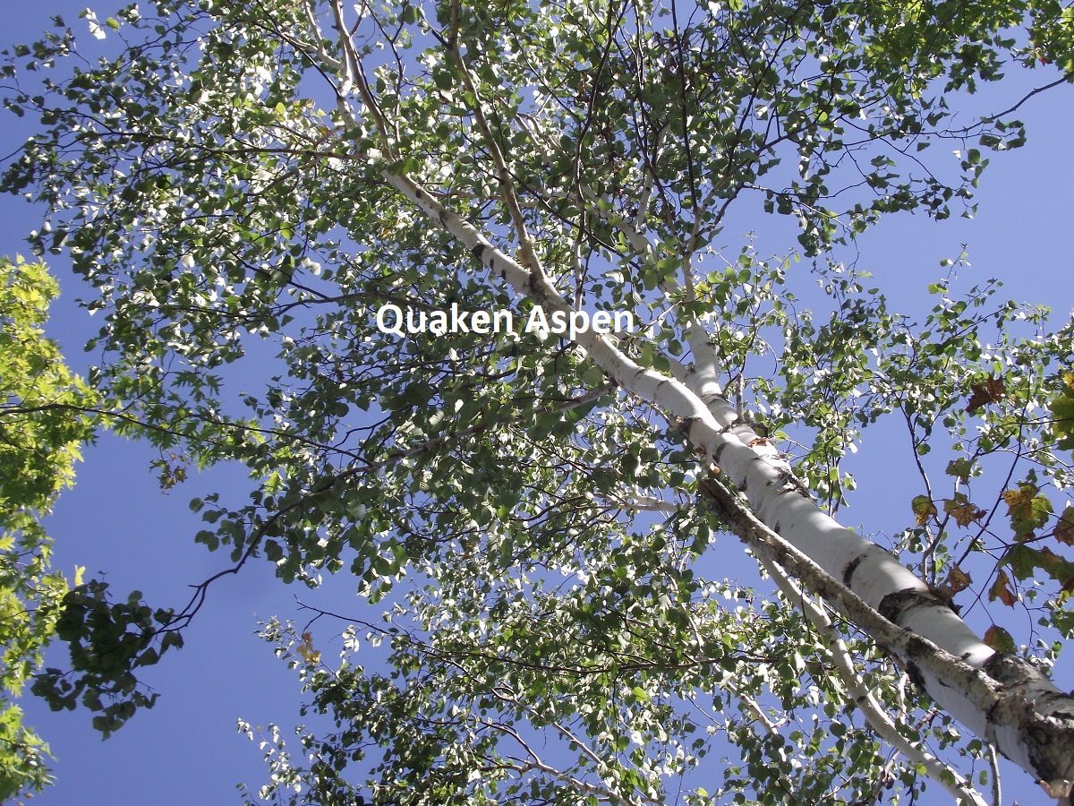
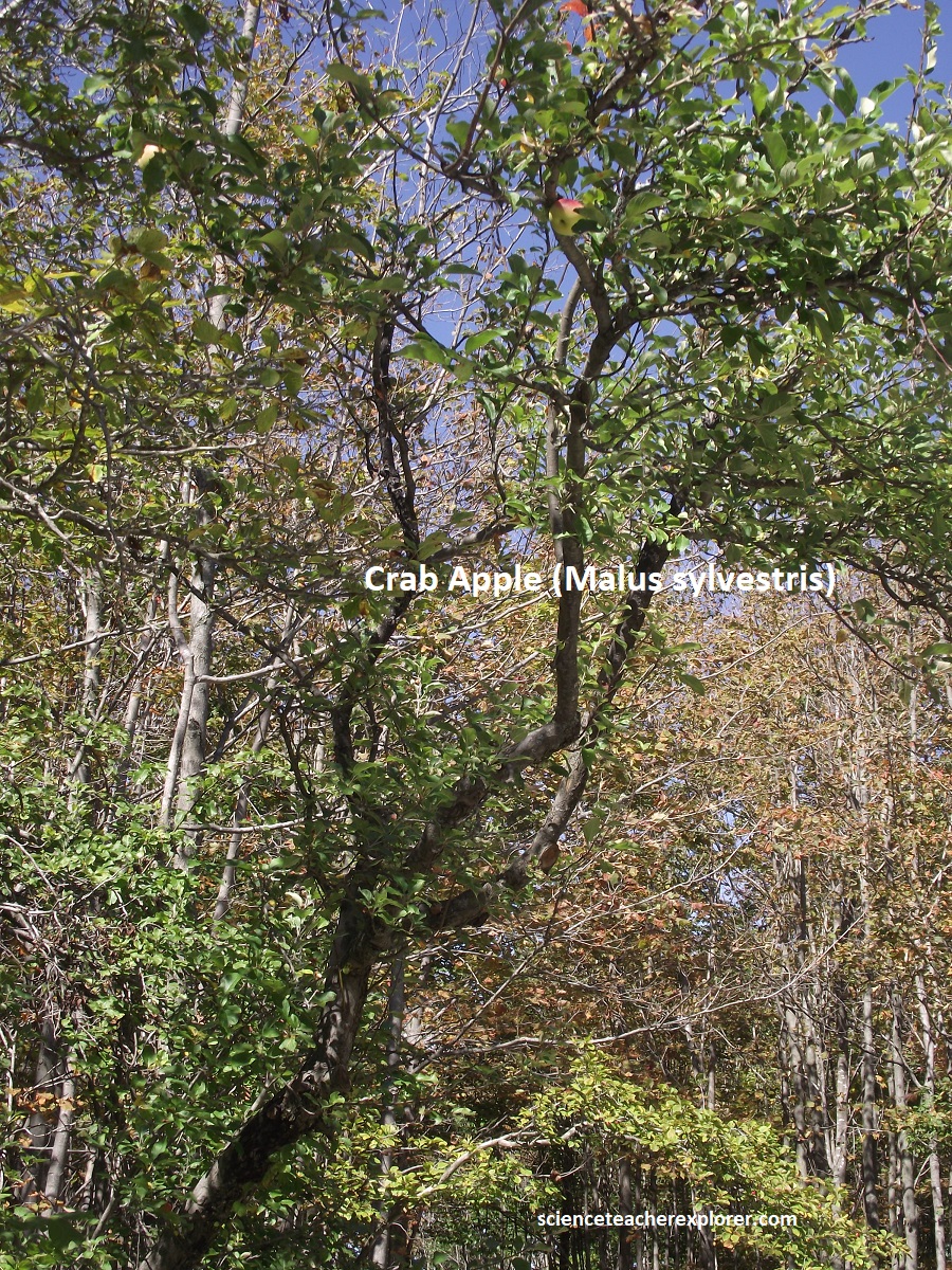
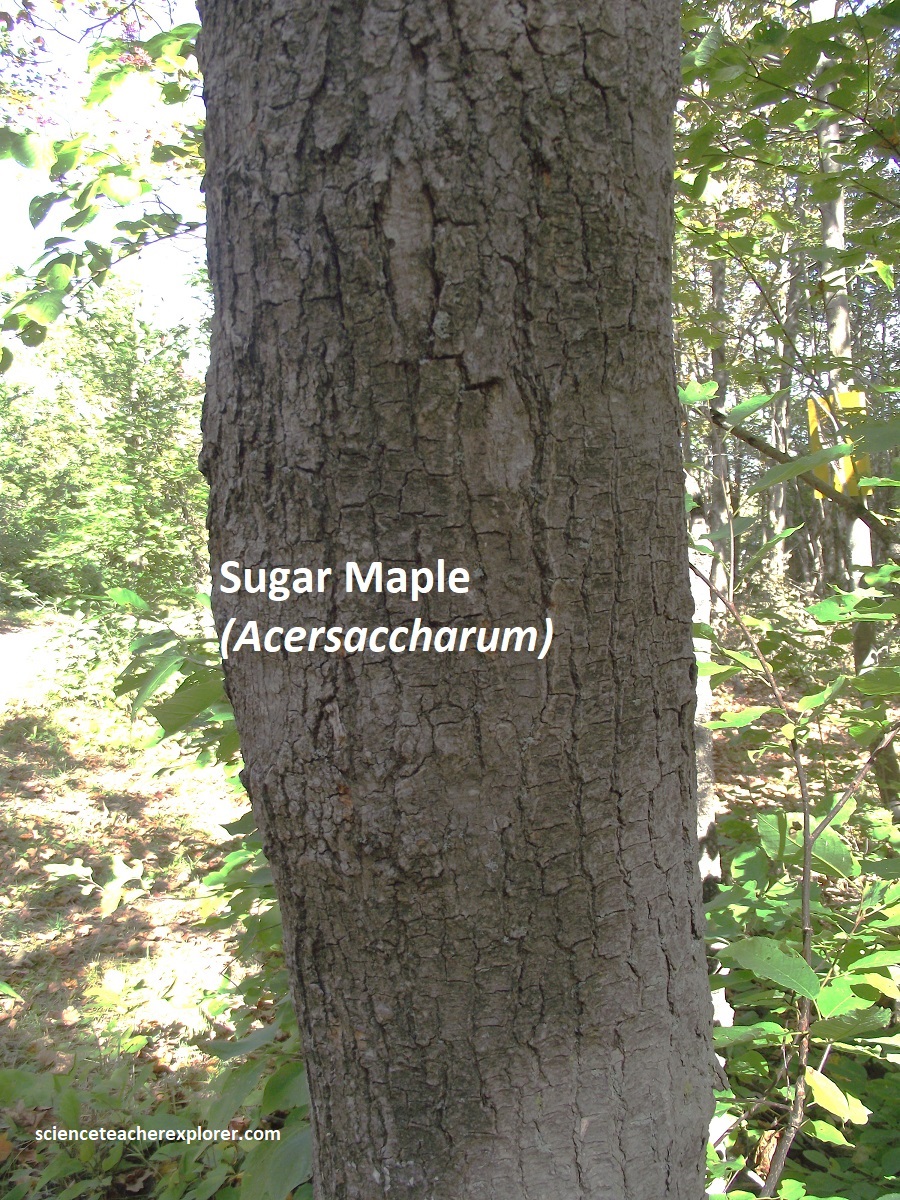
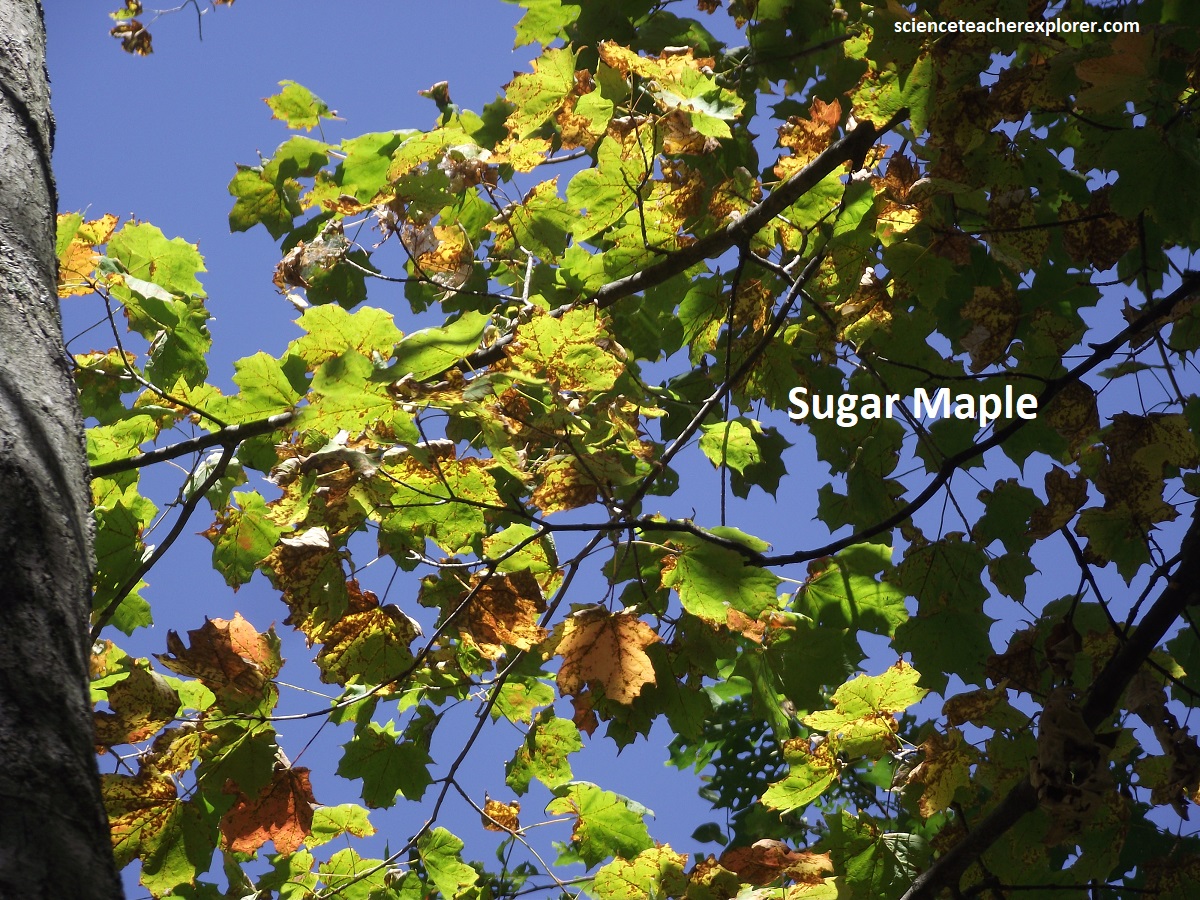
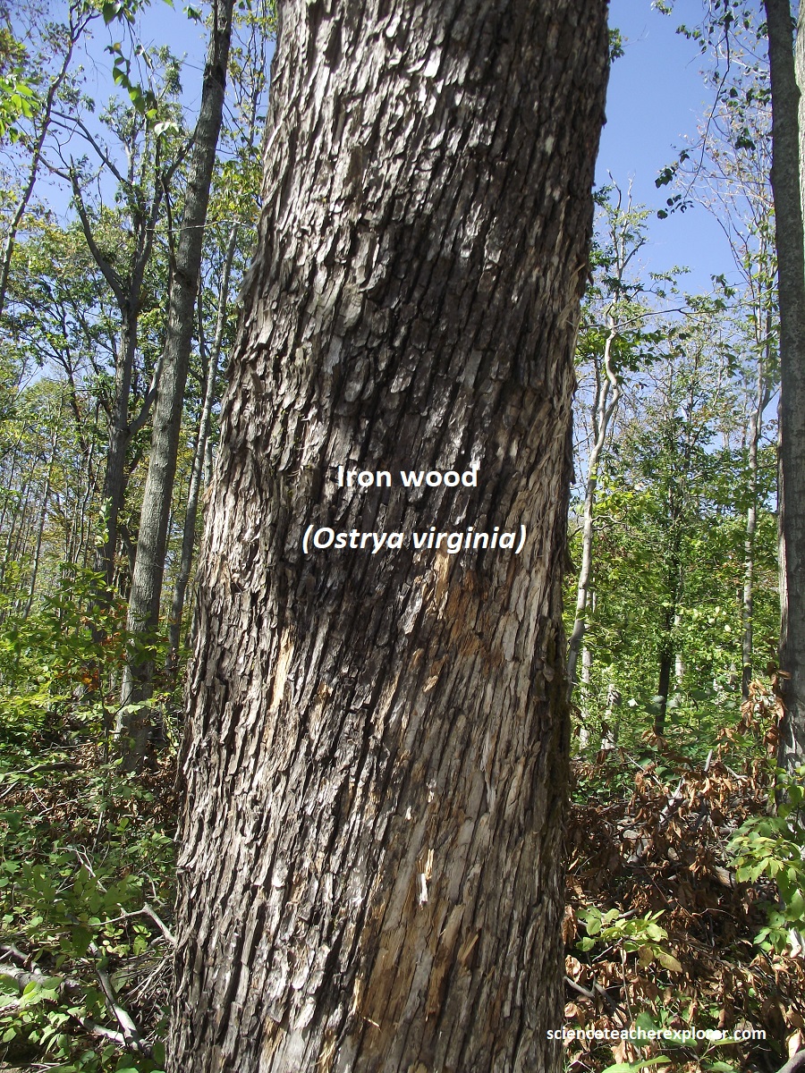
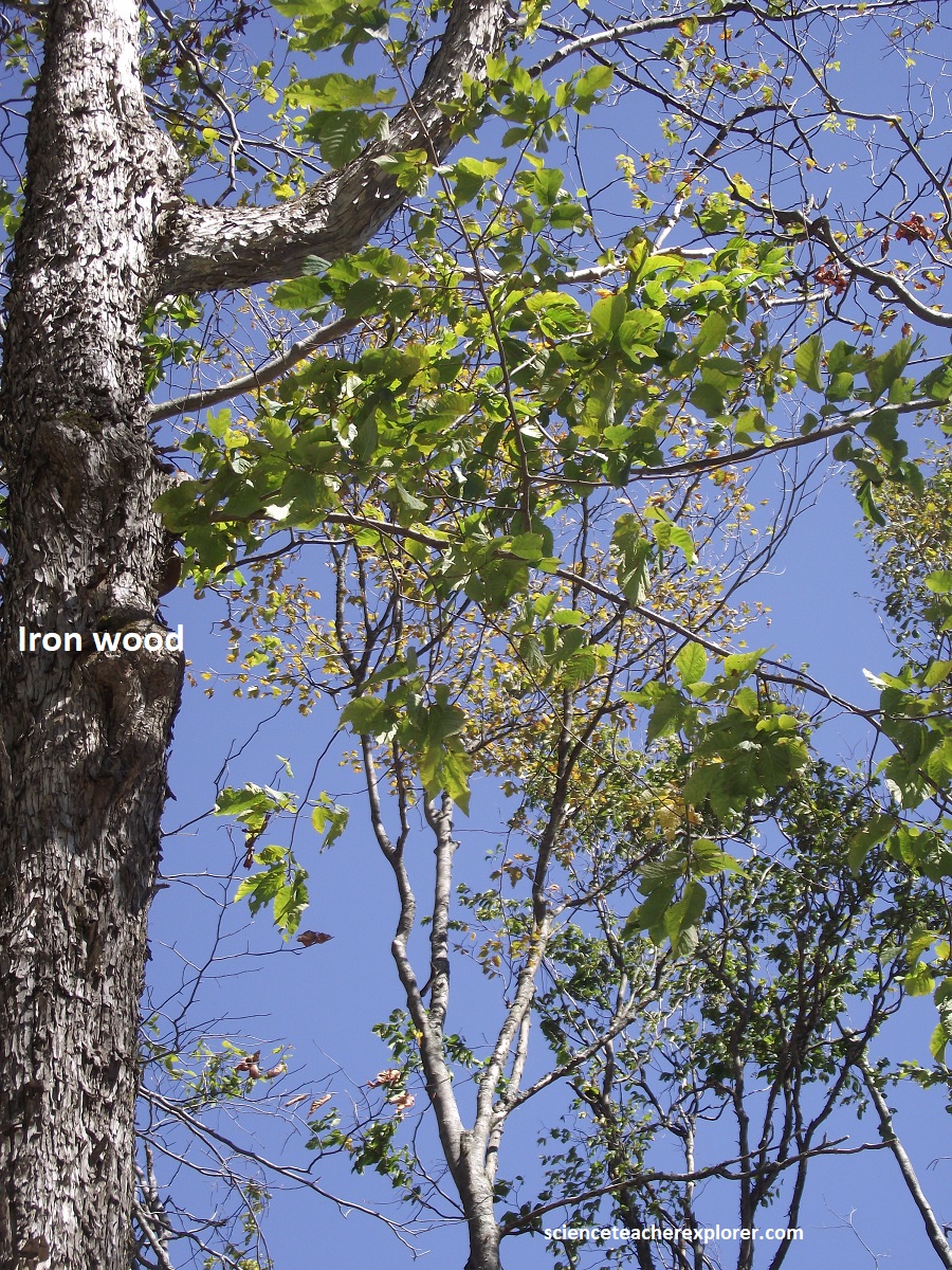
Parts of the property encompass a roughly 200-year-old forest with deep mosses, ferns, and shade-tolerant plants thriving in the cool, moist microclimates of the rock crevasses.
The self-guided trail system let me explore a series of natural rock formations, caverns, and deep glacial crevices (up to 25m deep) carved into the limestone. Highlights included “Fat Man’s Misery” (a famously tight 36 cm-wide passage) and cool ice caves where temperatures stay around 4°C.
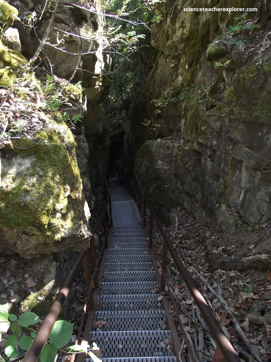
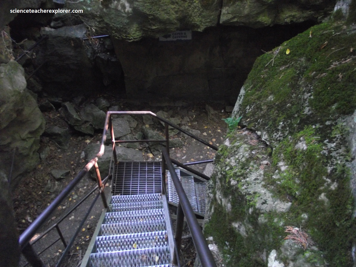
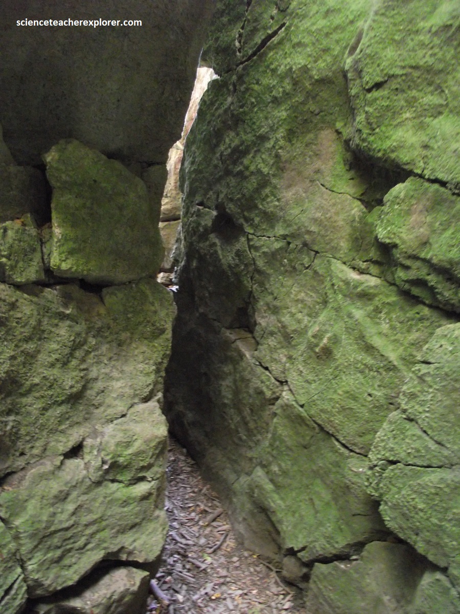
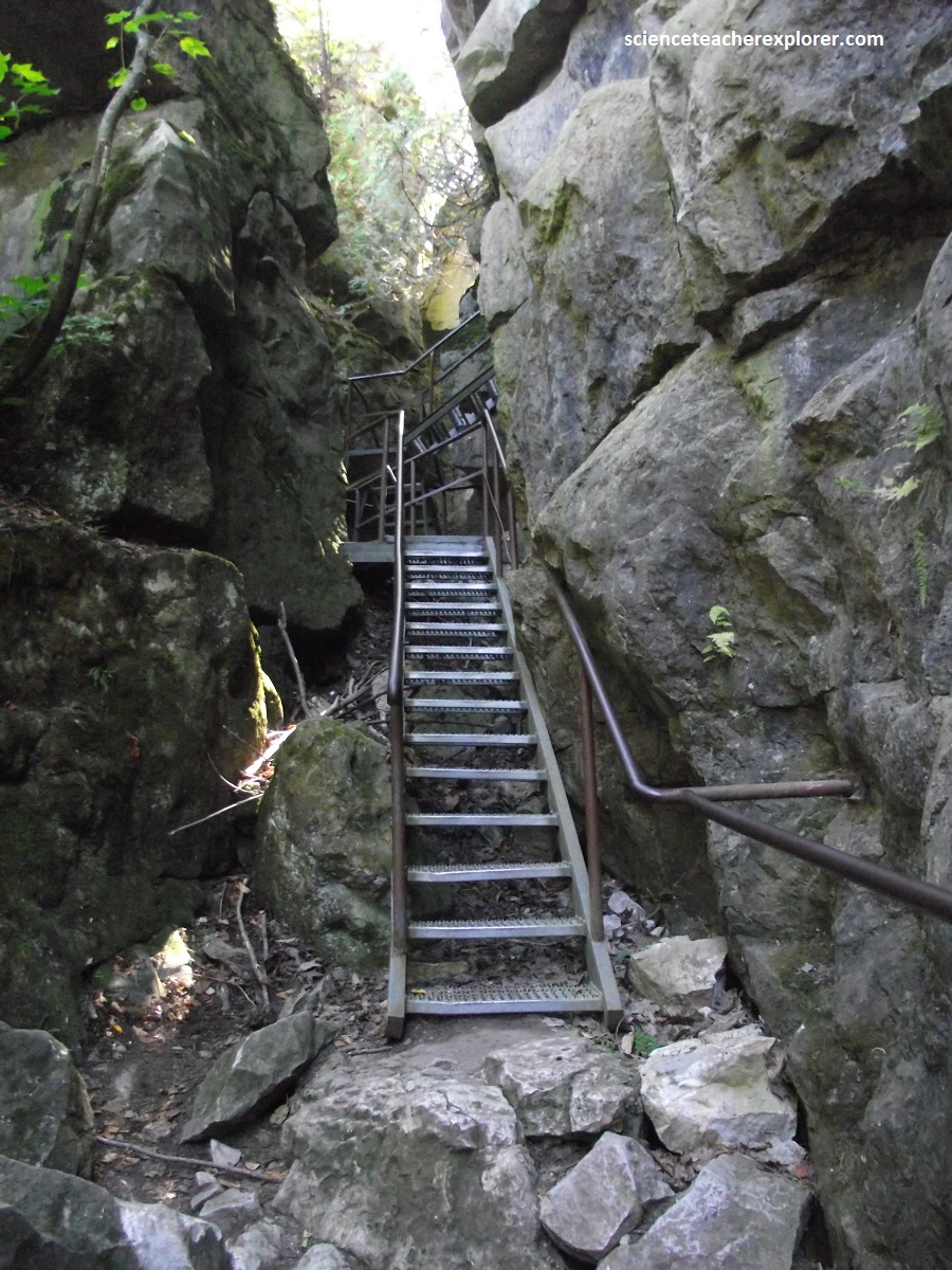
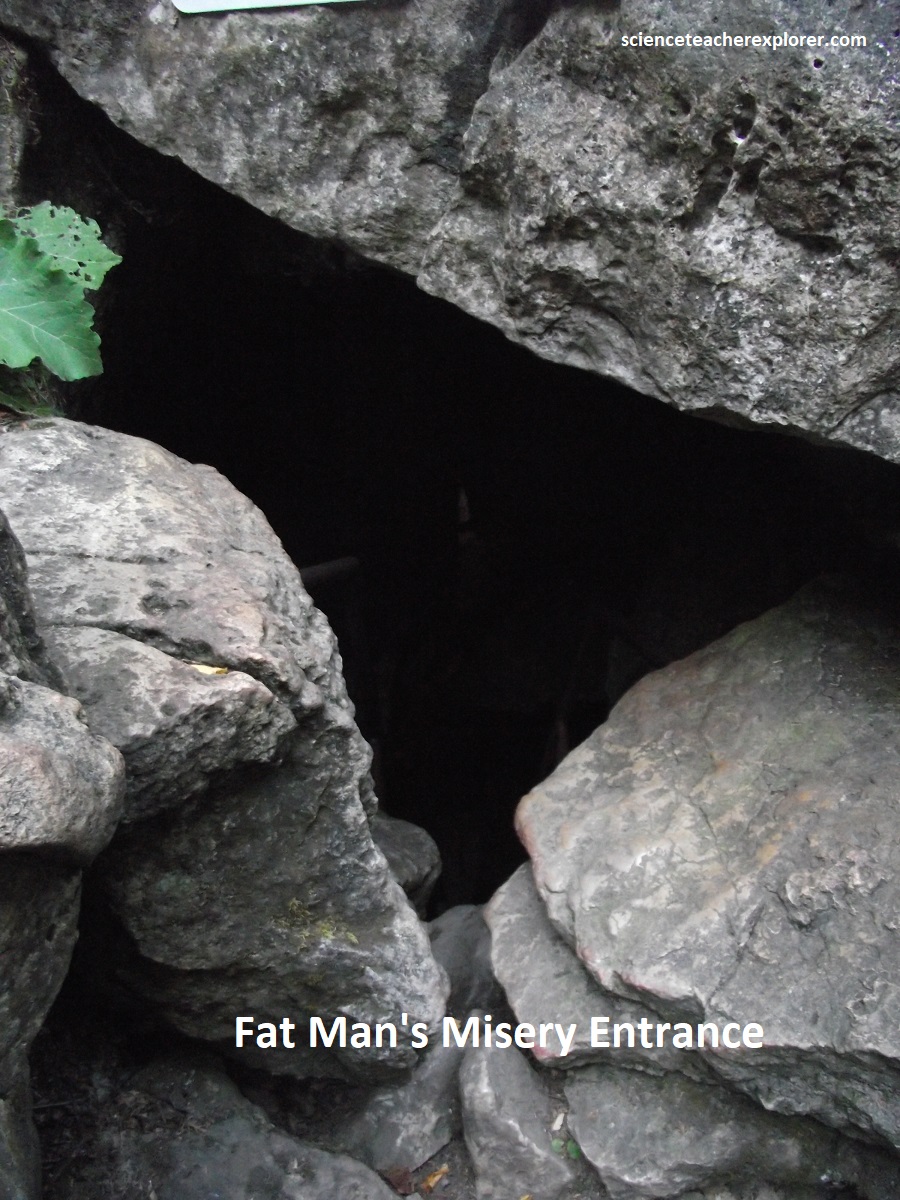
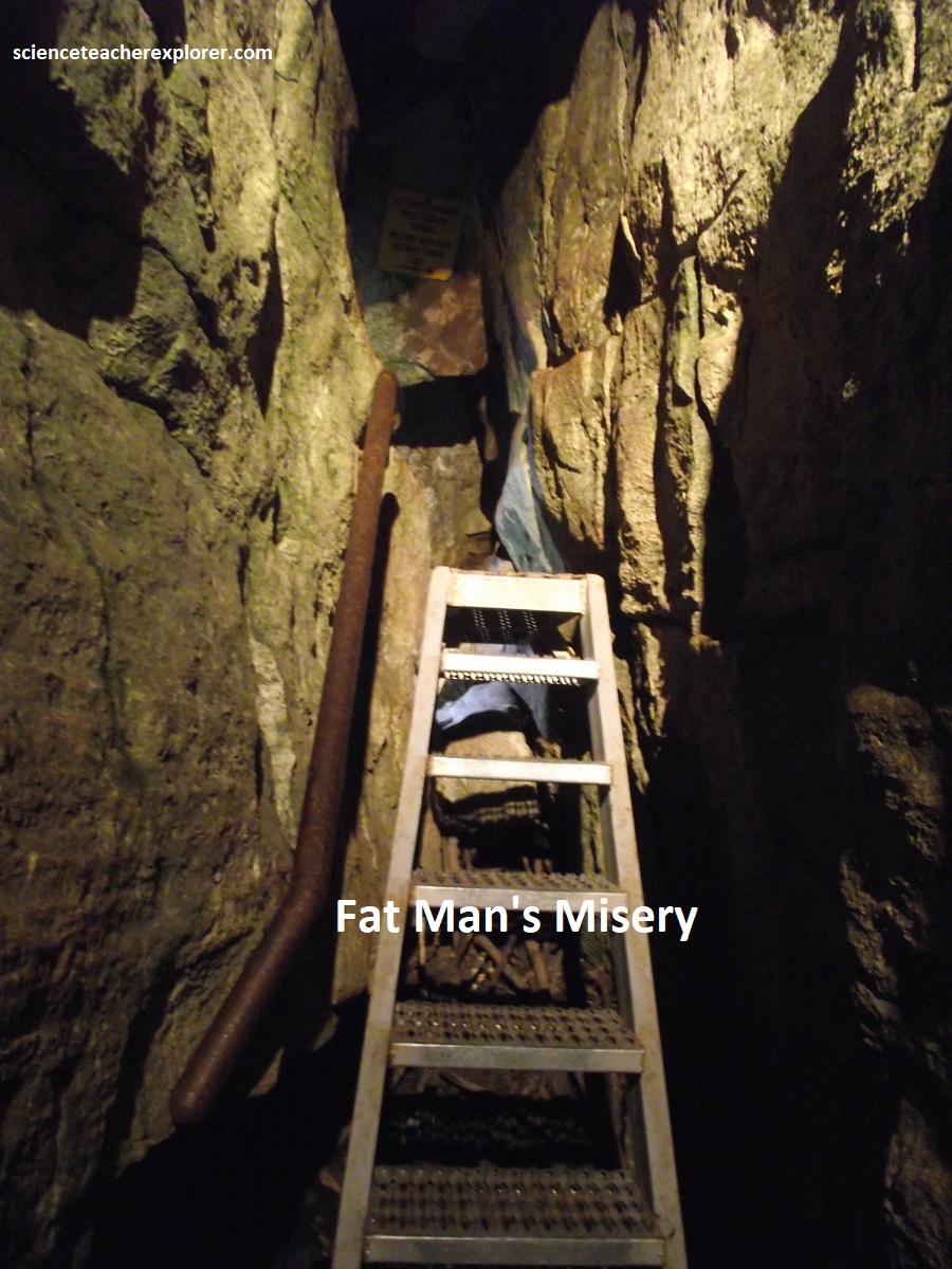
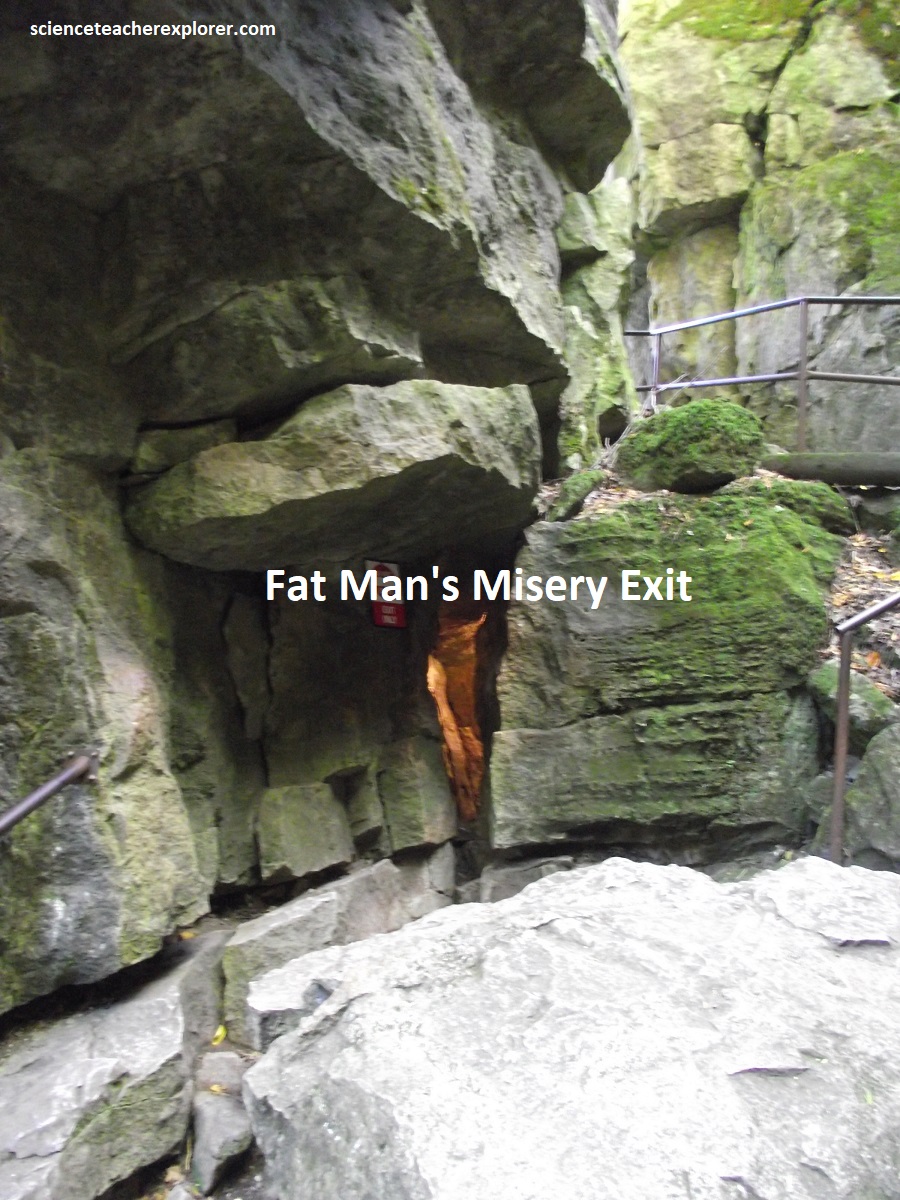
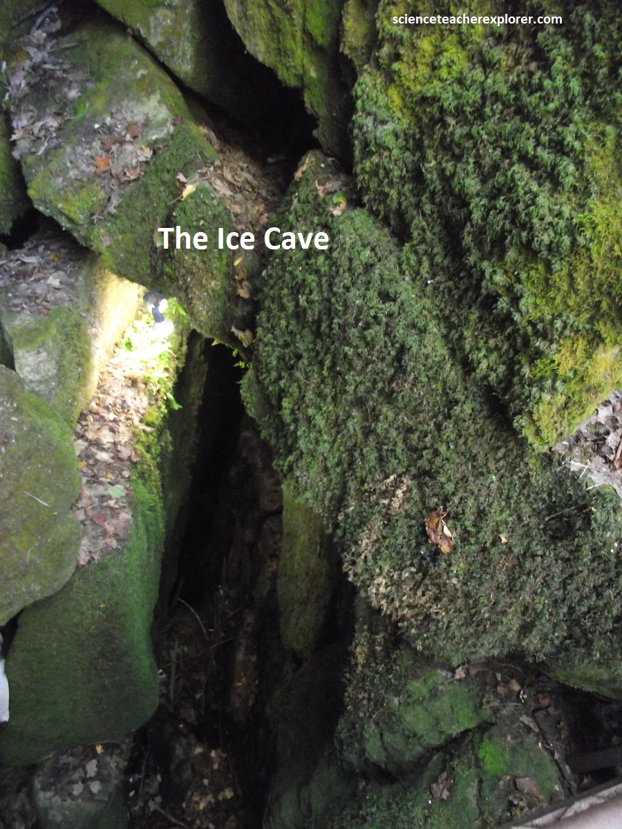
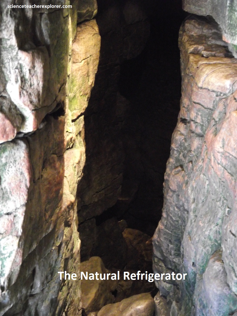
As mentioned, the “Scenic Caves” at Collingwood, Ontario are excellent examples of fissure caves, (pictured above and below). These occur in the narrow gaps that form between large blocks of rock as they move downslope. Fissure caves are also called “tectonic caves” because their formation depends on the presence of joints or deep cracks in the cap rock on the Niagara Escarpment. They are common along the Escarpment face where hard dolostone cap rock is slowly riding downslope over softer shales below. This process is called “cambering”. These fissure caves may have formed during the early postglacial period when the area was freed of ice, but shales were still softened by the effects of having been deeply frozen.
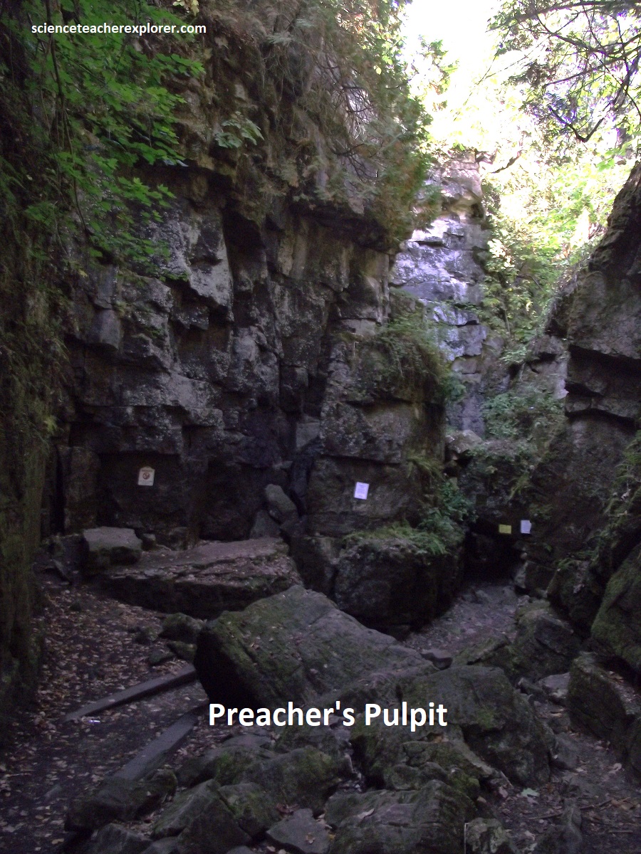
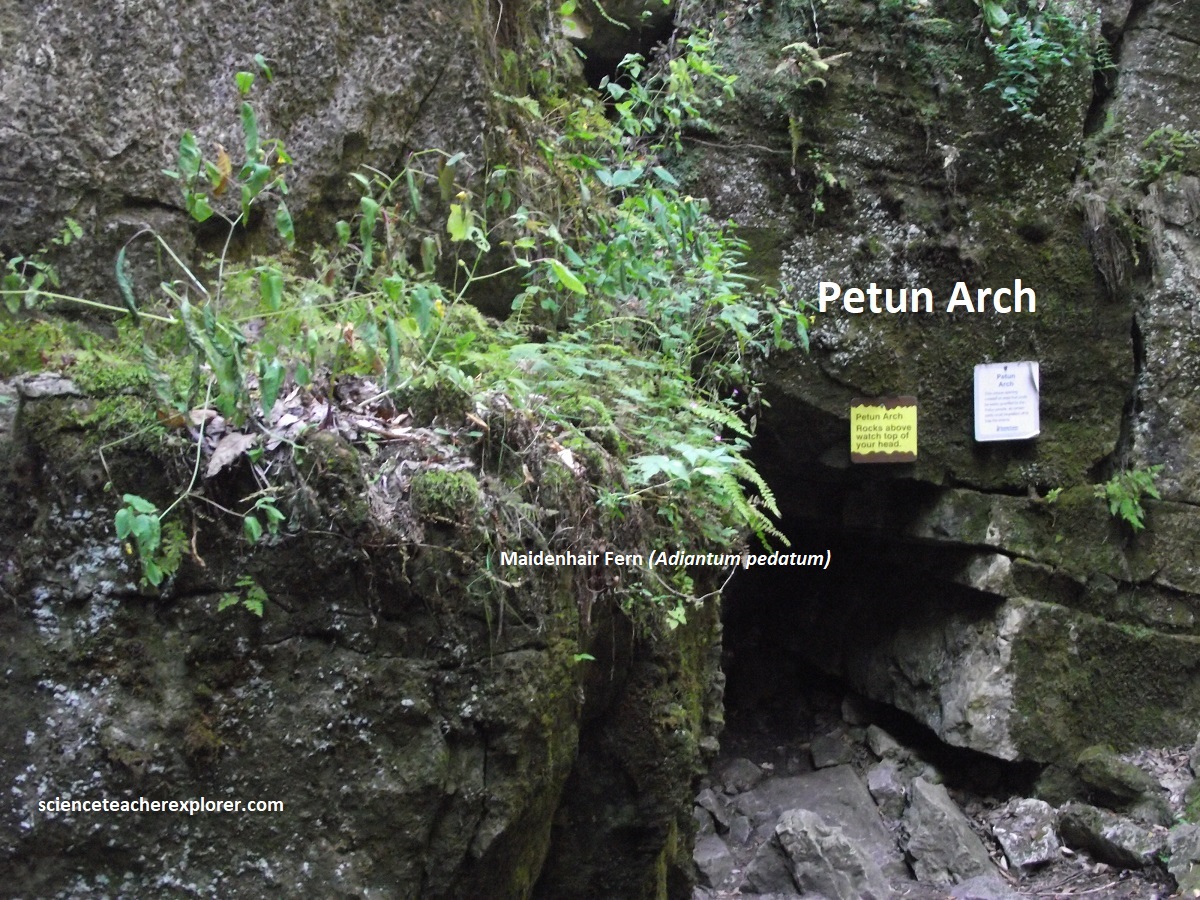
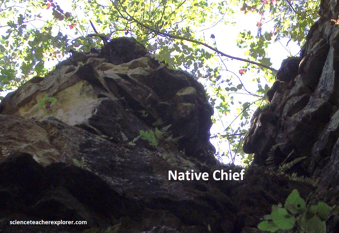
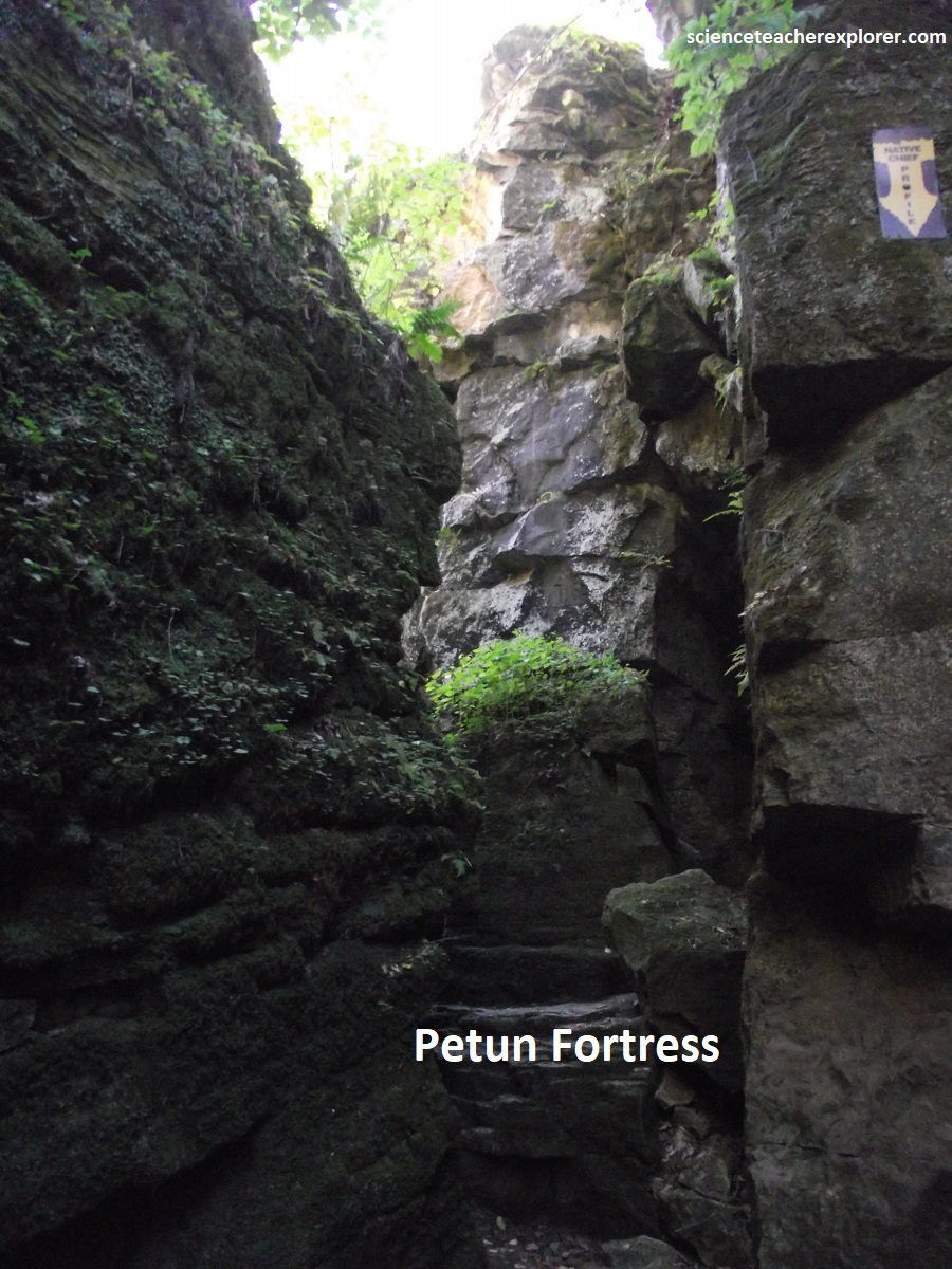
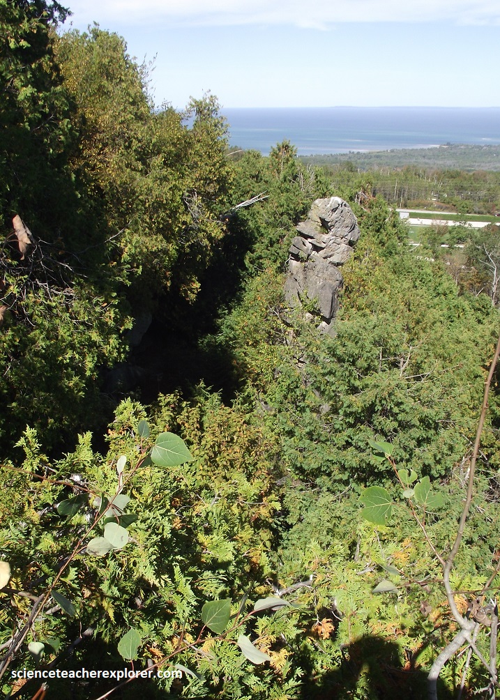
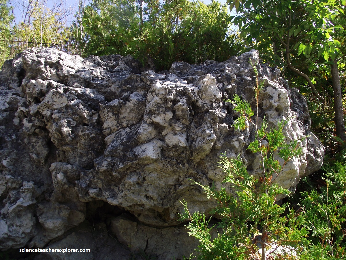
Pictured above, the large block of stone standing at the “Scenic Caves” at Collingwood was the focal point of a Native Petun village situated here during the Mid-17th century. The French called them “Petun” (an archaic word for tobacco) because they extensively cultivated and traded tobacco, though corn was their primary crop. Their actual name is Tionontati (meaning “there is a mountain inside” or people of the hills). They used the natural rock formations and crevices as a fortress to protect themselves from enemies. This site features the famous 16m limestone standing rock known as Ekarenniondi (“the rock that stands out”). The Petun believed this was the gateway to the Village of the Souls, where a spirit named Oscotarach removed the brains of the dead so they would find happiness forgetting their earthly lives.
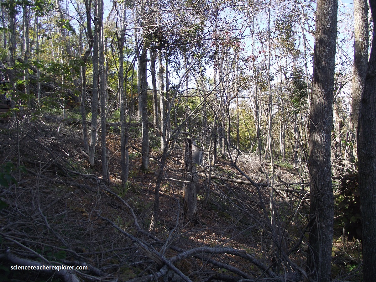
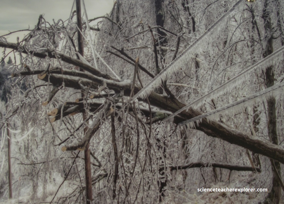
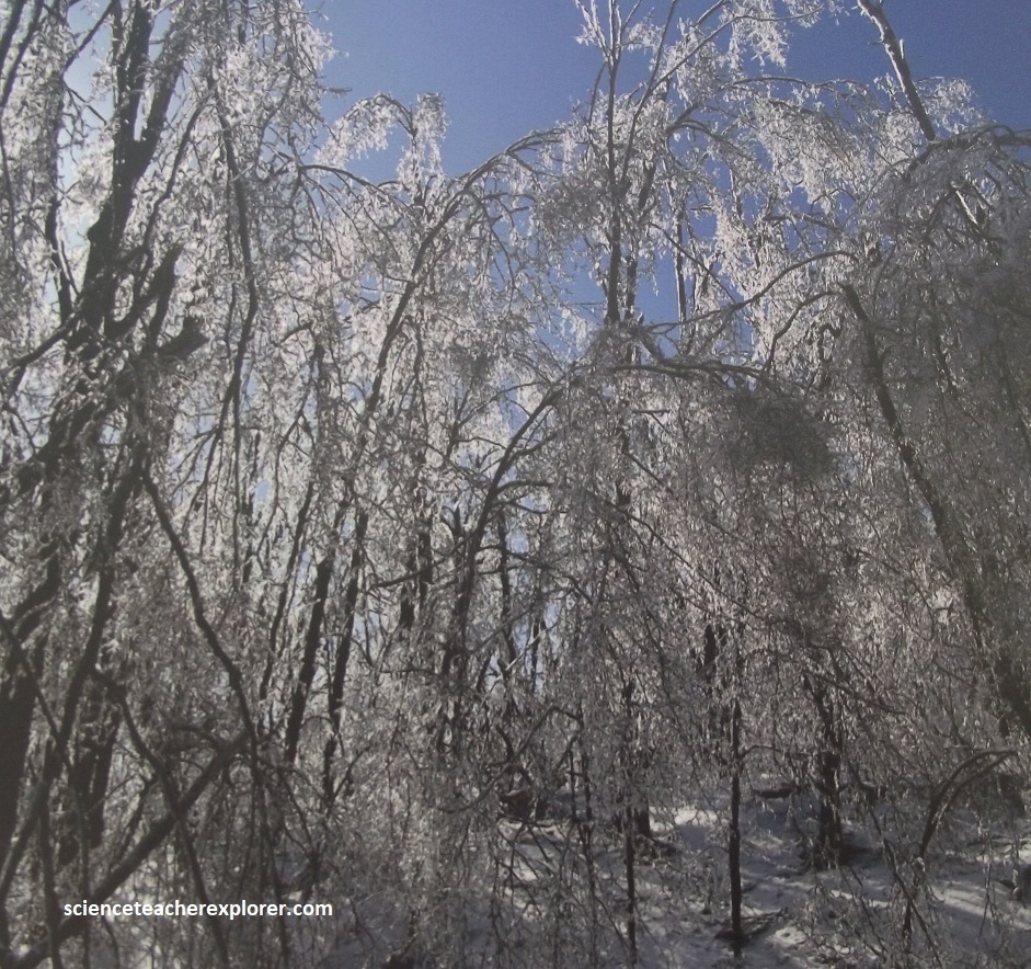
{Note: the winter images above were taken from an Interpretive sign on-site}.
Pictured above, the historic Ice Storm of 2025 caused devastating damage of the forest here and surrounding woodlots, (the worst ever recorded in this area. No tree species was spared. Even the strong and resilient Red Oaks, Sugar Maples, American Elms, American Beeches, and White Ashes suffered sever damage. This storm brought down nearly 20 hydro poles and power lines along “Scenic Caves” Road due to the sheer weight of the ice and trees pressing against the lines. This caused a widespread power outage lasting over 11 days. Although the damage was widespread, trees are remarkably resilient. Recovery depends on the extent of injury and overall tree health. Trees that lost less than 30% of their canopy are expected to recover well. Those with 30-50% loss may struggle but can survive if they were previously healthy.

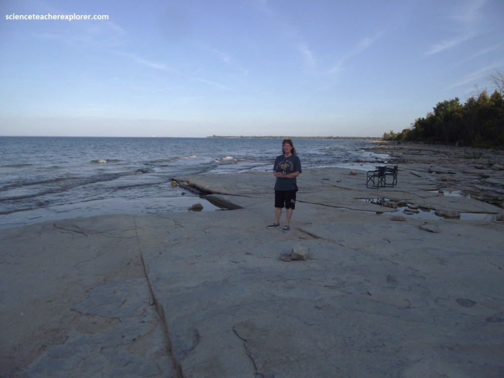
Becky and I continued exploring the Bruce Peninsula by driving up the coast to Craigleith Provincial Park. Craigleith, (earlier known as “Shalefield”) was the site of a short-lived oil shale refinery that operated between 1859-1863. A fellow named William Darley Pollard patented a process of oil extraction that involved heating shale to very high temperatures. Obviously, the shale off of highway 26 along the Georgian Bay shoreline, is rich in organic material. It is said to be a “Bitumnous” shale and smells of bitumen when struck with a hammer.
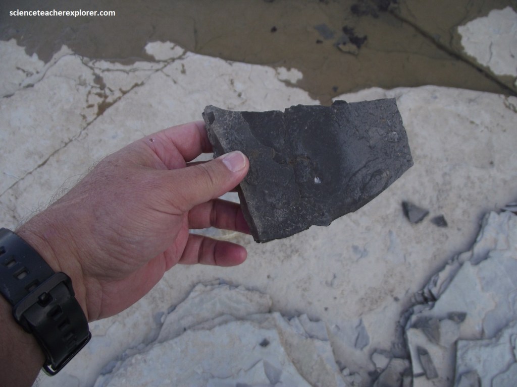
Pictured above, this shale is an outcrop of the lower Whitby formation that is about 450 million years old of the upper Ordovician. It happens to be the oldest exposed rock along the Niagara Escarpment.
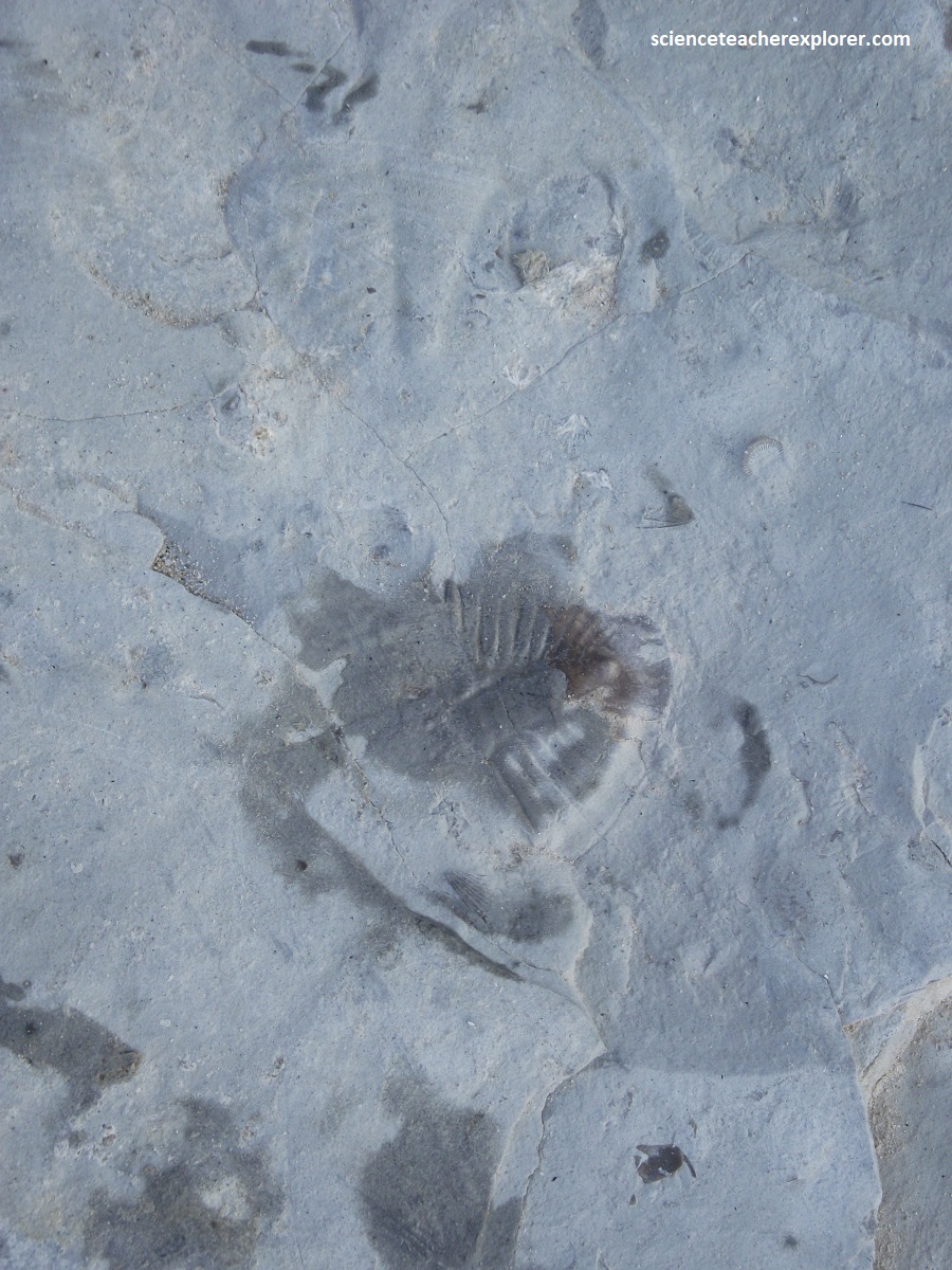
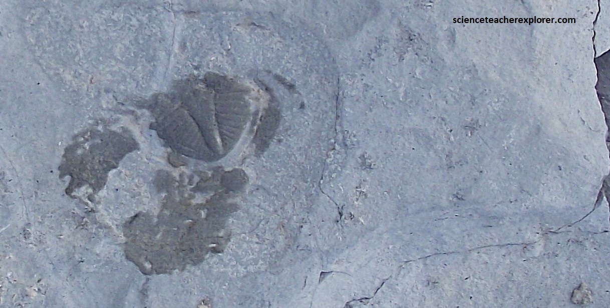
Searching this southern shore of Georgian Bay at Craigleith Provincial Park for fossils came up with spectacular specimens of trilobites. The primary and most common trilobite we found at Craigleith Provincial Park in Ontario is Pseudogygites latimarginatus. These creatures inhabited the shallow tropical sea that inundated Ontario, feeding on the same organic matter that made the Whitby formation useful for oil shale.
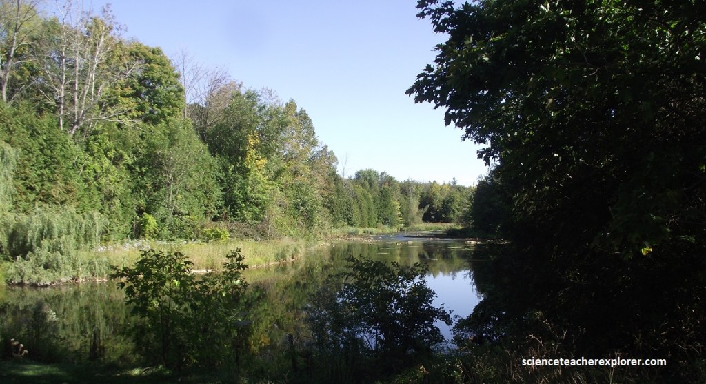
Becky and I continued driving west along the coast to Inglis Falls. Inglis Falls near Owen Sound illustrates the importance of two erosional processes at work leading to the formation of deep cuts into the face of the Niagara Escarpment.
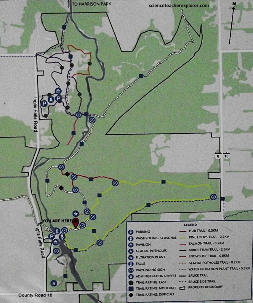
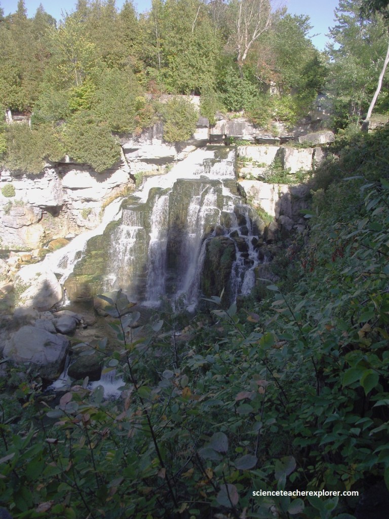
Pictured above, the rapid flow of the Sydenham River over the edge of the Niagara Escarpment created Inglis Falls. The turbulent waters scours out softer shales below the hard cap rock, which then collapses. Repeated over time “headward retreat” of the waterfall creates a narrow, deeply cut gorge.
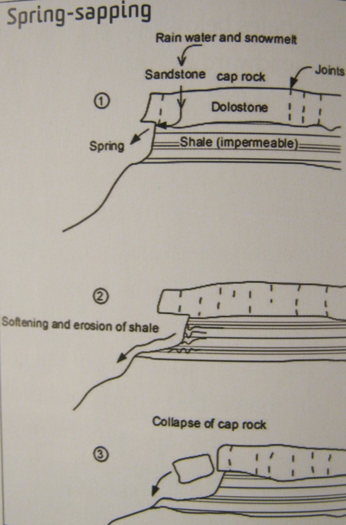
Along the walls of the gorge another erosional process, (spring-sapping), widens the cut. Groundwater that has moved down through joints in the cap rock meets impermeable shale below, and is force to flow, along the shale surface, underground to emerge as a series of springs on the sidewalls of the gorge. The water weakens and softens the shale to the point where it can be easily squeezed out from under the weight of the overlying cap rock. The cap rock, in turn, eventually collapses, resulting in the widening of the gorge.
The combined effects of headward retreat and Spring-sapping create large re-entrant valleys in the face of the Escarpment. Glacial erosion has scoured out these valleys removing loose rock. Where Spring-sapping is the dominant erosion, the valley is significantly widened. Note the nearby Owen Sound is a large re-entrant valley filled with water from Georgian Bay.
During the Pleistocene period, some 2.5 million years ago, there were four stages of glacial advance and retreat, Wisconsin, Illinoian, Kansan and Nebraskan. The most recent glaciation being the Wisconsin Glacier, between 10,000 and 100,000 years ago. During this “Ice Age”, the Escarpment was covered by an ice sheet. When the ice started to move it carried with it grains of sand, pebbles, and boulders which were carried great distances. As the sheet ice and water moved it gouged, scraped and had strong currents against the Escarpment face.
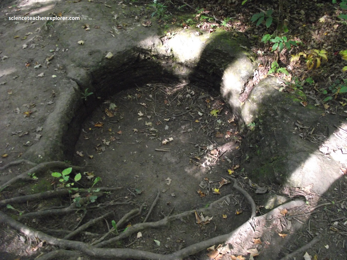
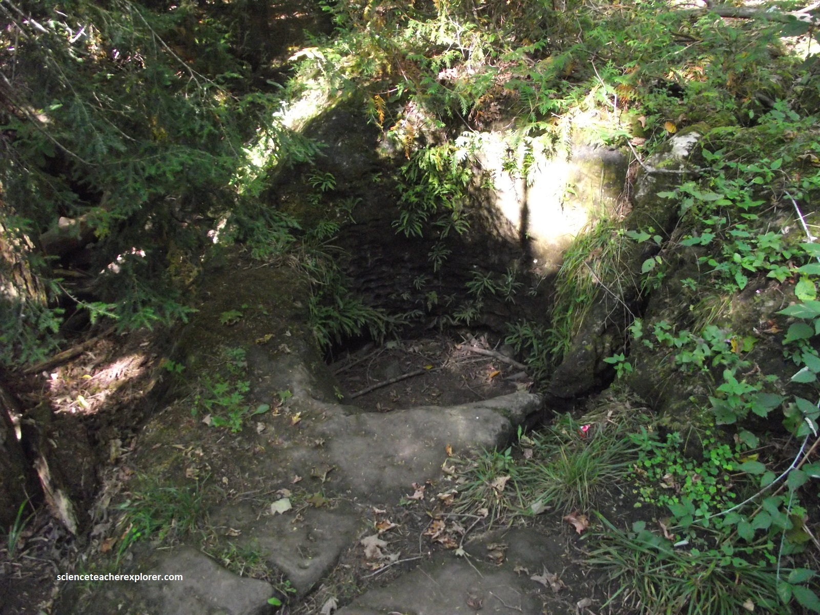
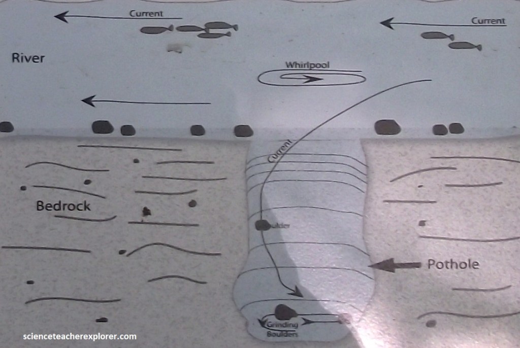
Pictured above, at the Inglis Falls area, there are potholes found near the crest of the highest bedrock outcrops on the Niagara Escarpment, far above what would be considered a typical location for a river. The prevailing theory suggests that whirlpools of glacial water were the force behind the creation of these potholes. It is believed that sand, gravel and rocks became trapped in small rock cracks and the spinning whirlpools and grinding action of these abrasive materials drilled circular or cylindrical holes known as potholes into the underlying bedrock.
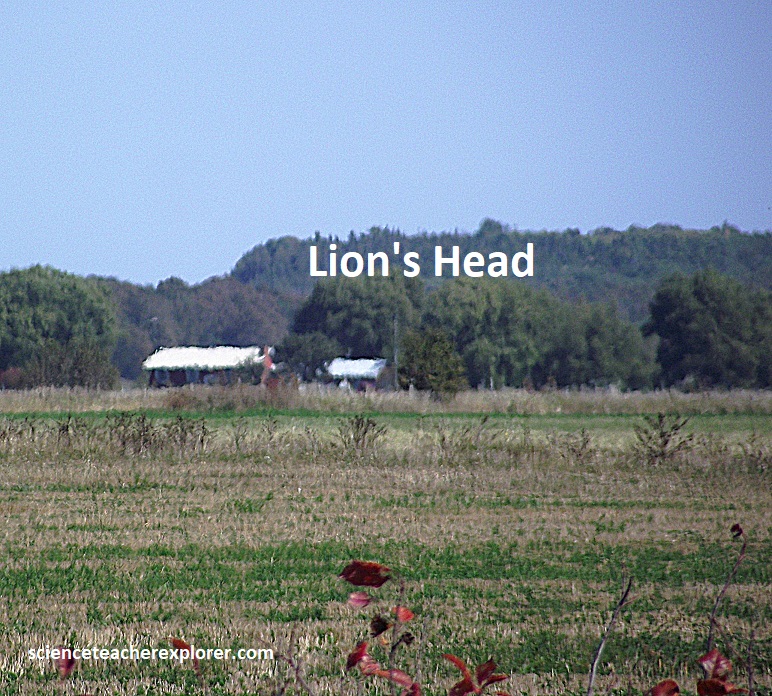
The Niagara Escarpment can conjure up images of bold rugged cliffs like those at Lions Head on the Bruce Peninsula, (pictured below).
However, the Niagara Escarpment is sometimes covered by thick glacial sediment, and the rock cliffs have also been effected by a process called “sagging”: the slow movement of the cap rock downslope.
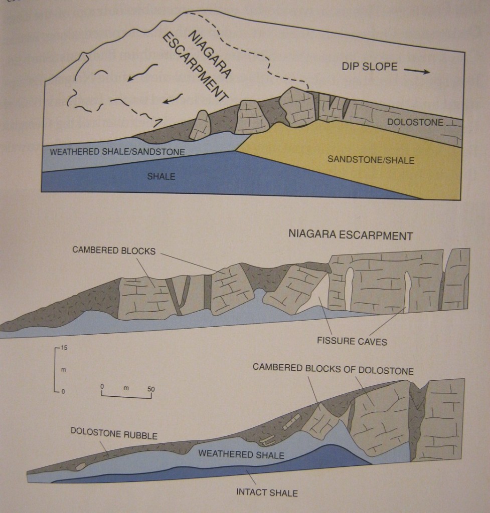
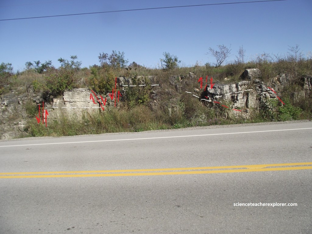
The tilting and downhill movement of blocks of rock along the lip of the Niagara Escarpment, near Griersville, has occurred when sliding rock was “lubricated” from underneath by soft, wet shale. Cambering created gaps between blocks and later filled with younger soil.
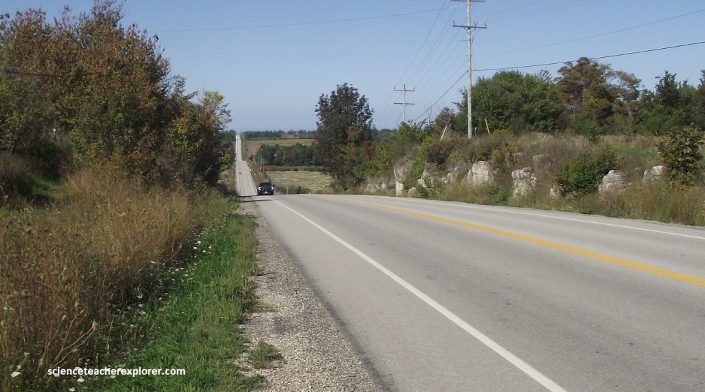
Pictured above, it is likely that the cambering and sagging processes visible on Hwy. 6 near Griersville took place immediately after the end of the last glaciation, some 12,000 years ago. Typically, the cambered blocks seen below were moved downslope at rates of a few centimeters a year since then.
Bioherms are areas of shallow water created by offshore ridges made up of the broken fossilized remains of millions of dead organisms such as sponges, corals & sea lilies. These ridges usually occur side-by-side to the coast-line and parallel. They create a large corrugated seafloor.
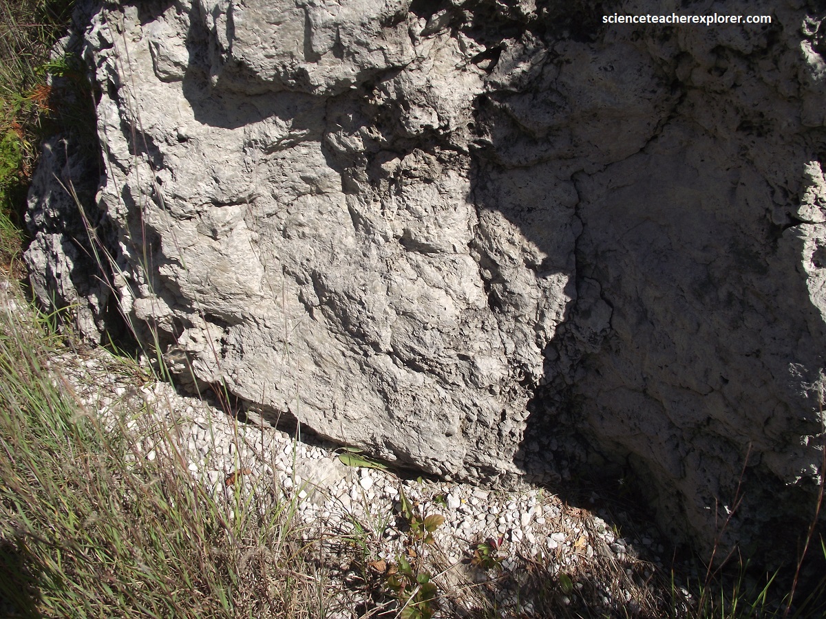
Becky and I found these bioherms north of Owen Sound on the Bruce Peninsula on Hwy. 6. They appeared as low ridges that were oriented northwest/southeast and lie on an extensive limestone plain composed of the uppermost Amabel Formation dolostone which once formed the Silurian seafloor. Pictured above, these mounds were made of cream-colored limestone rock along the side of Hwy. 6, where the road cuts through a whole series of bioherm ridges that run across the road.
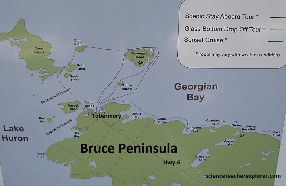
When Becky and I drove to the end of Hwy. 6 at Tobermory, we booked a boat tour to Flowerpot Island. Flowerpot Island is located slightly north of Tobermory in the Georgian Bay and is part of the Fathom Five National Marine Park, (imaged above). Flowerpot Island spans 2.1 km from east to west, and 1.5 km from north to south, and has a total area of 490 acres.
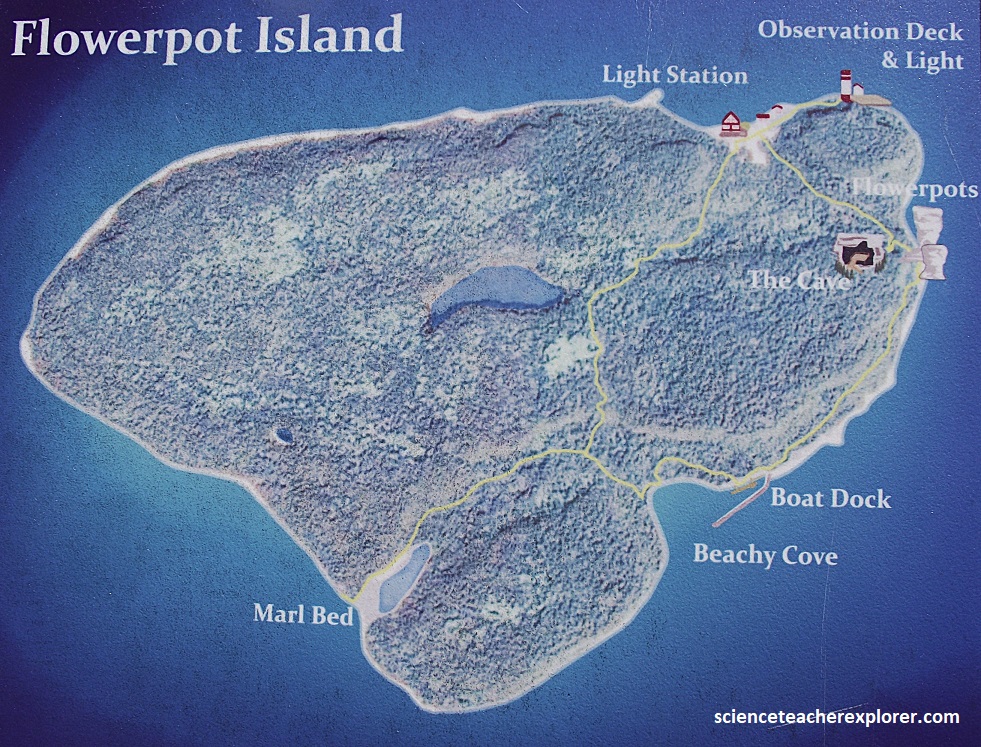
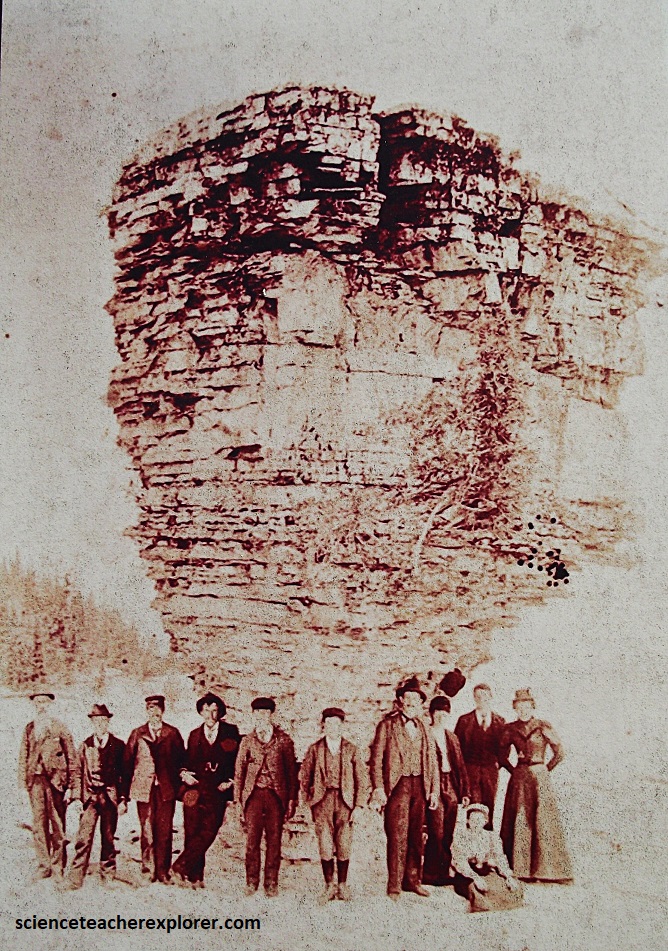
The island acquired it’s name from two rock stacks resembling flowerpots. Well over 100 years ago, people in Owen Sound were chartering small craft to take them to see two mythical, gravity-defying rock columns on an island in the shipping channel near Tobermory. Here they could also see caves, rare plants and a light station. The place became famous and was given national park protection in 1930. {The images below were old historical-postcards that I took from an Interpretive sign on-site}.
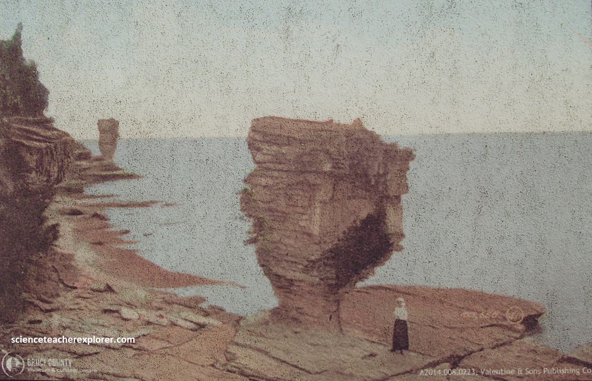
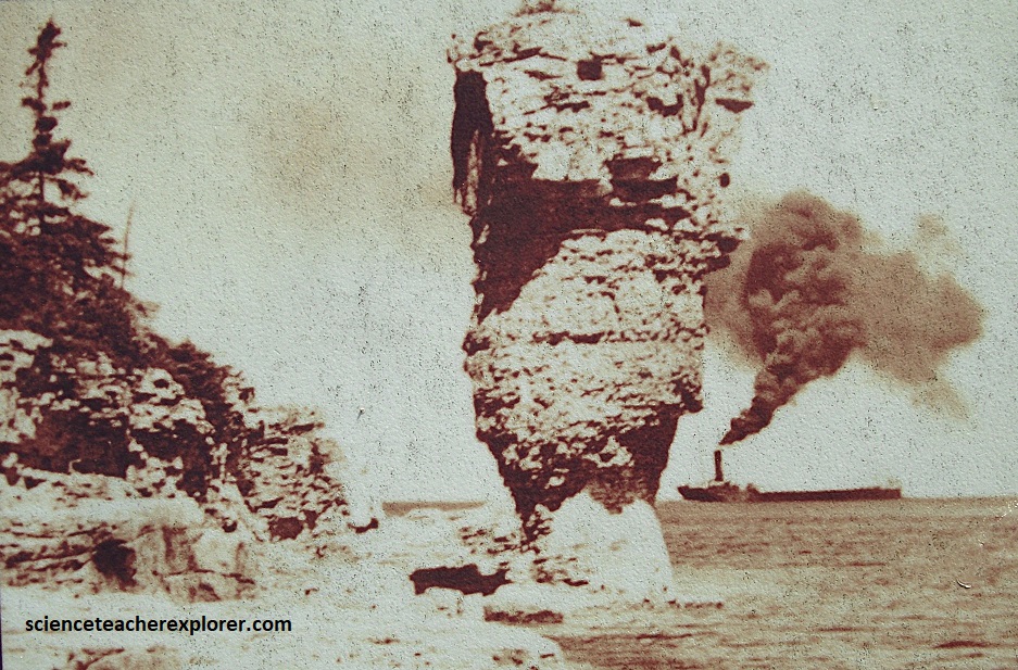
Fathom Five National Marine Park includes 20 islands in Georgian Bay, Ontario, with Flowerpot being the only one open to the general public. Access to all other islands in the park is restricted or prohibited to protect their fragile ecosystems. For instance: Cove island is the largest island and it features a historic 1858 lighthouse and a diverse wildlife population (including deer, black bears, and massasauga rattlesnakes) due to its size and proximity to the mainland. Bears Rump Island is located east of Flowerpot Island and is known for its limestone geology, rare plants, and nesting bird habitats. Echo and Middle Islands are smaller, undeveloped limestone islands that are part of the protected Niagara Escarpment ecosystem.
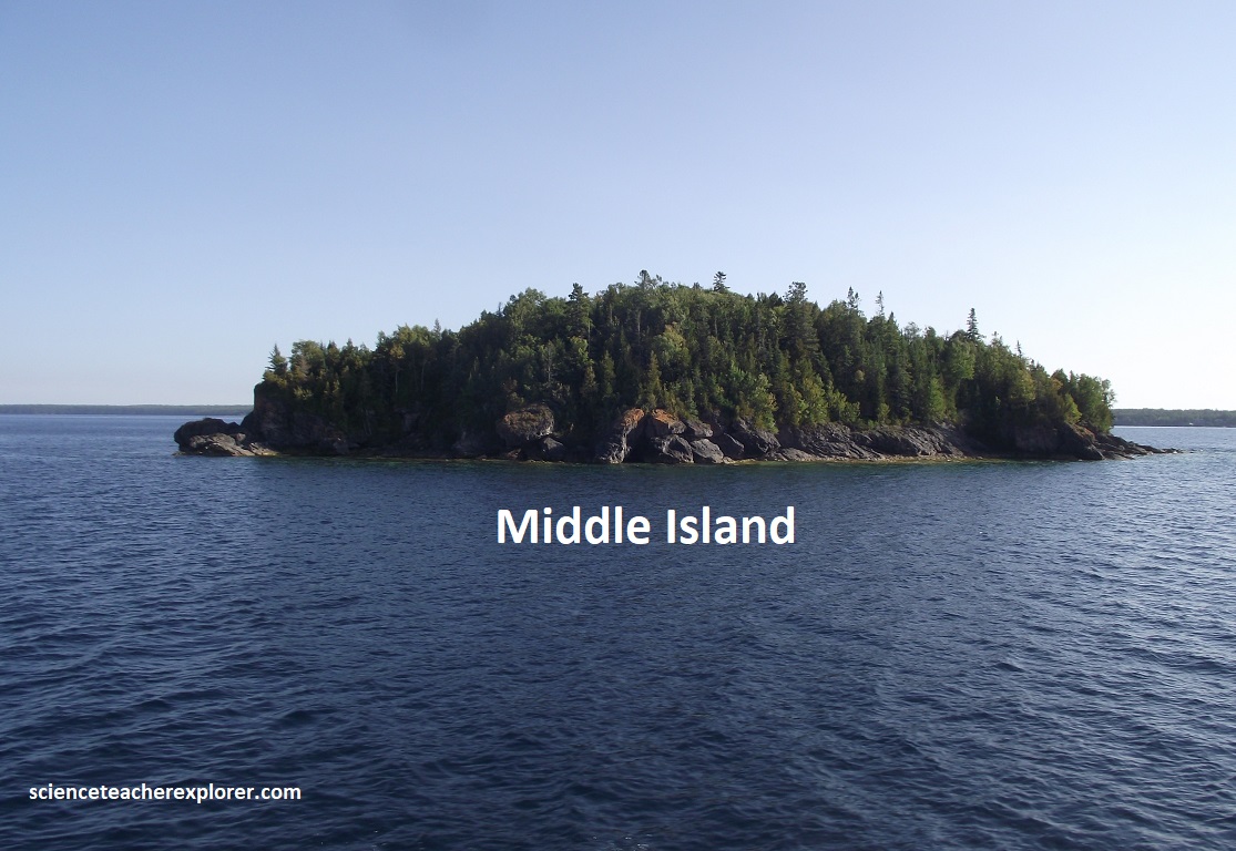
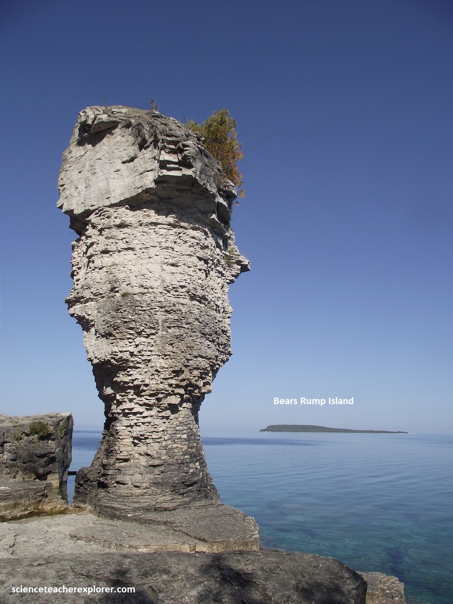
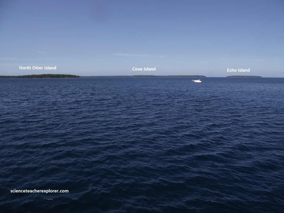
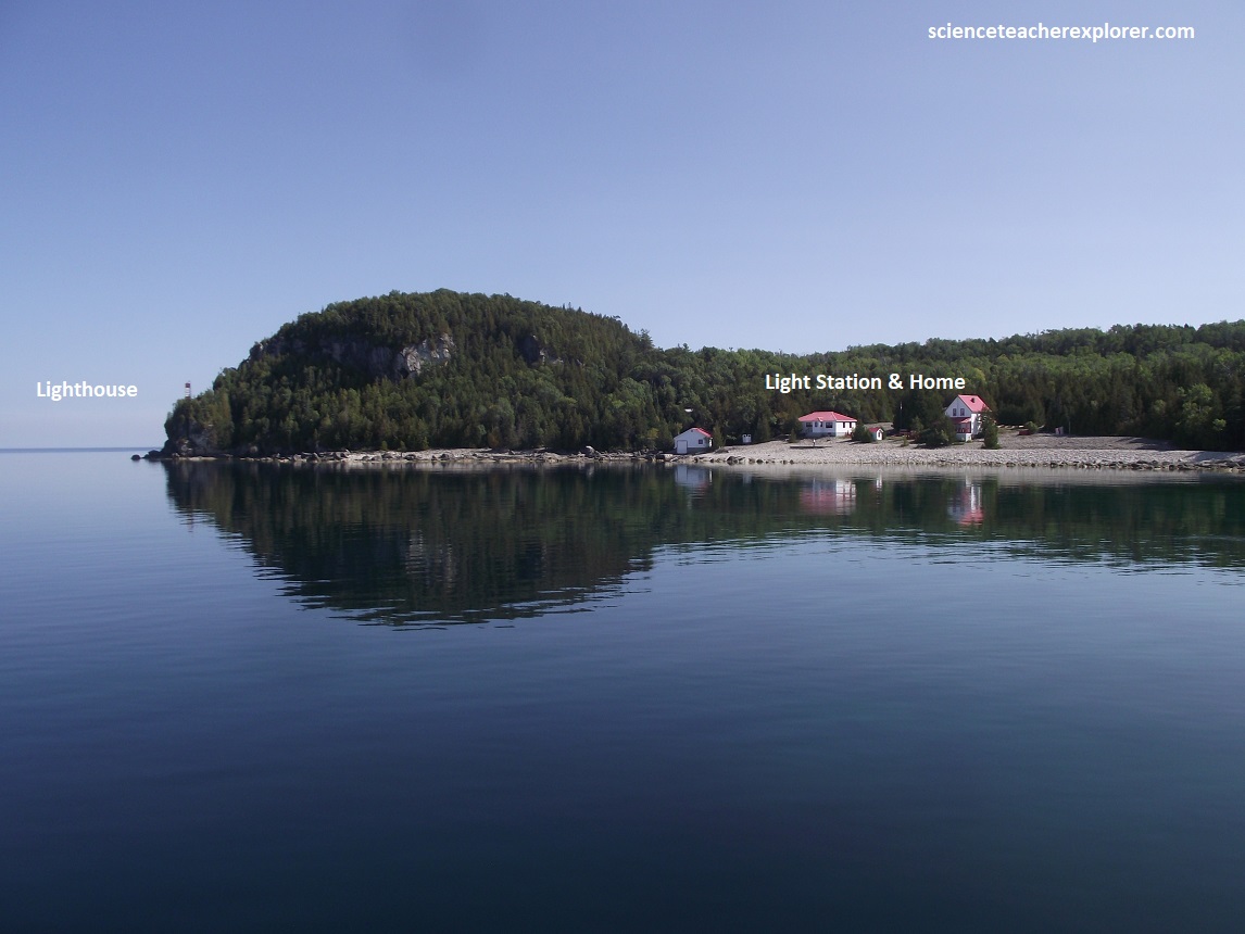
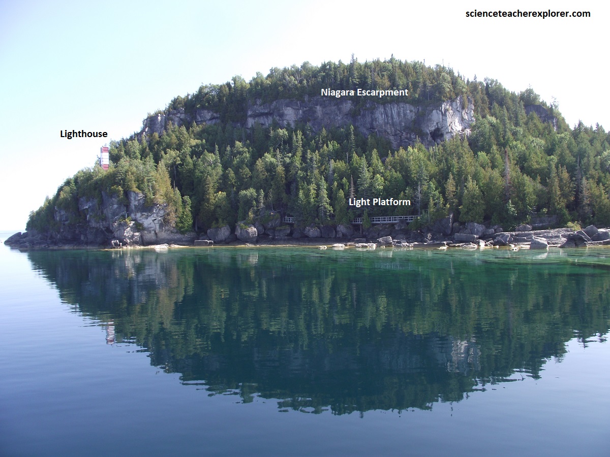
A trip around the Flowerpot Island gave us a view the historic Flowerpot Island Light Station, which included heritage buildings and a small museum/store. We then saw two prominent natural sea stacks (a smaller and a larger pillar) formed over thousands of years by wave and ice erosion. All around the island we viewed rugged cliffs, cedar-topped forests, and shoreline vistas along the Bruce Peninsula with the natural caves located near the flowerpot formations and around Cape Point.
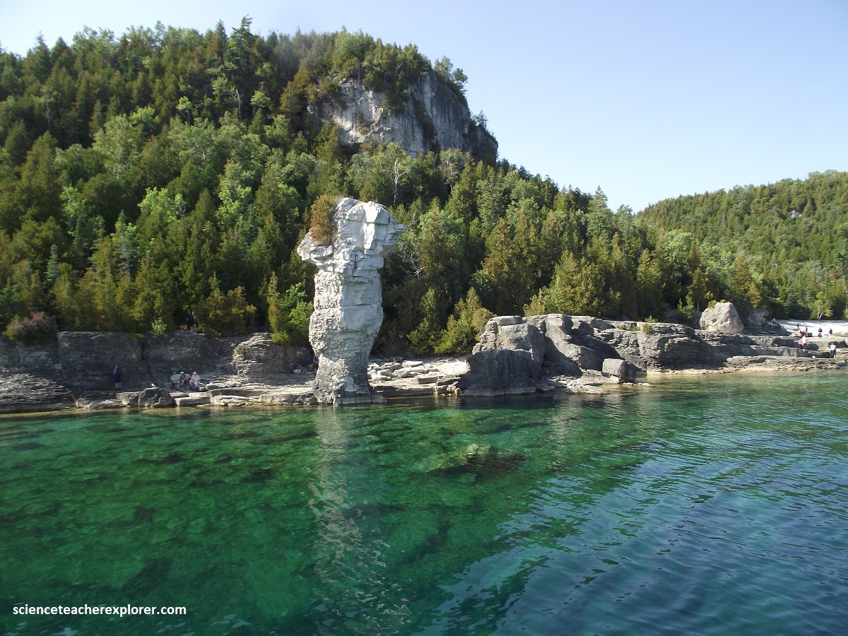
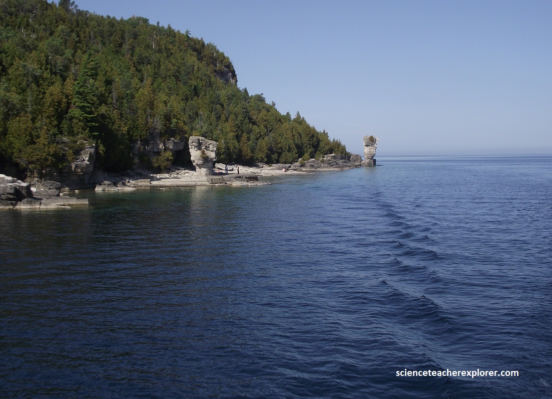
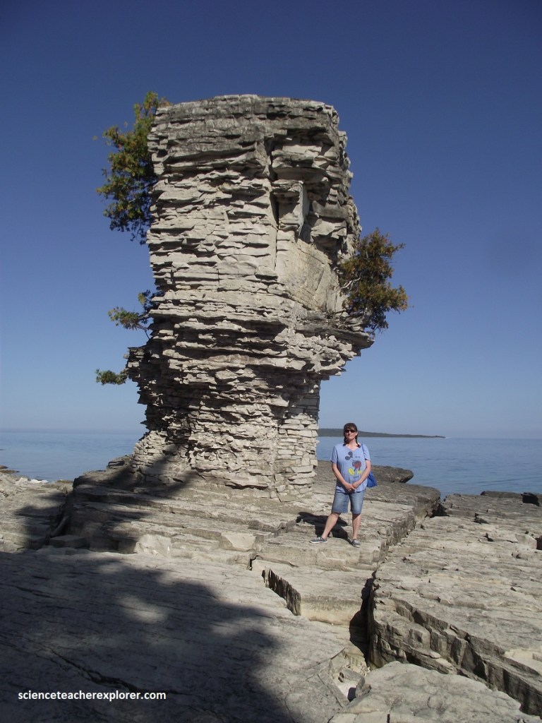
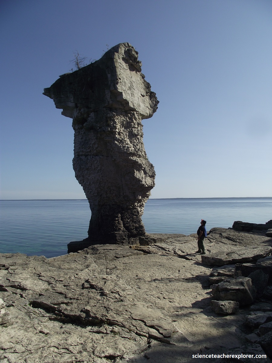
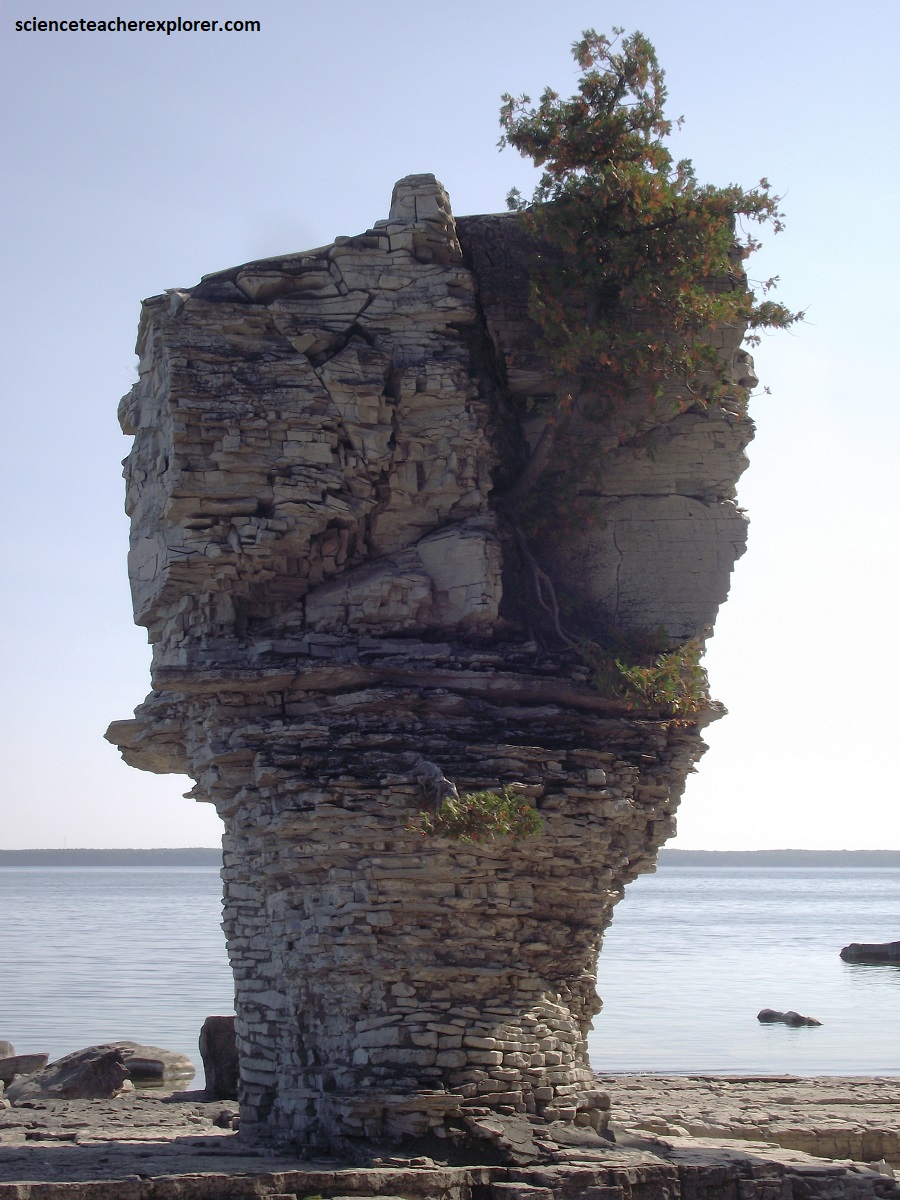
Once we landed at the boat dock, Becky and I had the freedom to explore and trek the island. We of course spent most of our time at the two Flowerpots, (pictured below). {I’m standing next to the large Sea-Stack on Flowerpot Island, Ontario, Canada 2025}.
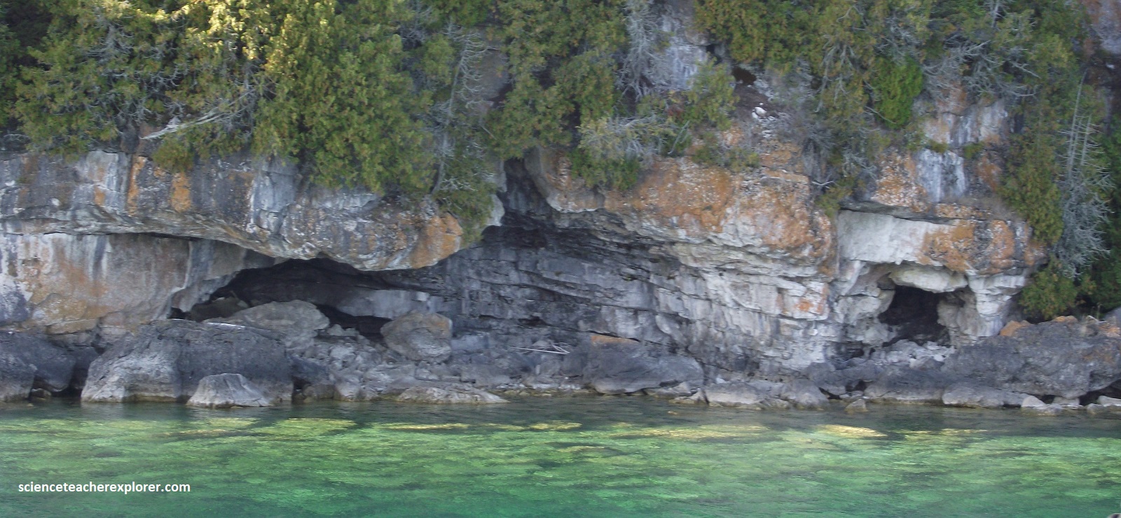
Where the shore is a cliff and the rock has weaknesses, under cutting occurs and “sea caves” may be hollowed out. The caves, perched high above the large flowerpot, were formed in the manner about 10,000 years ago when water levels were much higher than today. Caves again are forming below the cliff on the other side of this cove.
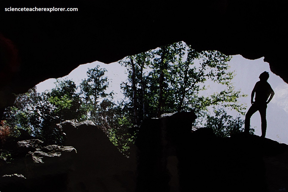
In the far past, the mound of dolomite rock that was Flowerpot Island was strong enough to survive the grinding of the last glacier. After the ice mass retreated about 12,000 yrs. ago, glacial Lake Algonquin completely covered Flowerpot Island. As the lake levels fell through a series of stages, waves an ice began to erode the bedrock cliffs of the island, removing the weaker thin-bedded rocks and enlarging cracks (joints). Sea Caves, such as the one pictured above, were created where the wave zone remained stationary for relatively long periods of time.
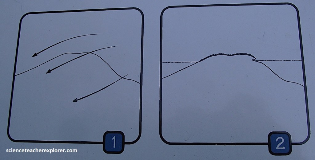
At some point, the dropping water level reached a point immediately above the flowerpot which was then part of a wide underwater shelf. The shelf consisted of a thick bed of rock. As this bed was exposed to waves and ice, joints and minor bedding cracks were exploited and erosion began to remove the material behind the piece of rock which eventually became the “cap rock” for the flowerpot.
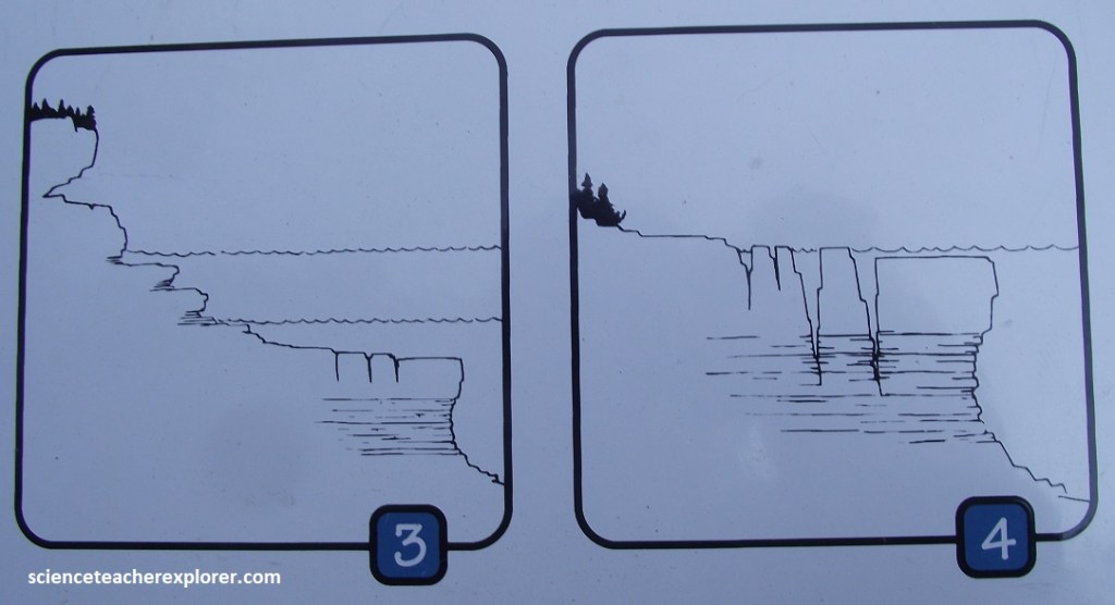
Erosion continued as water levels dropped below this thick bed. The thinner beds below were easier for the waves to break-up and remove, resulting in rapid removal of rock beside and behind the flowerpot. The lake levels dropped more quickly at this stage, otherwise the pillar would have completely cut through.
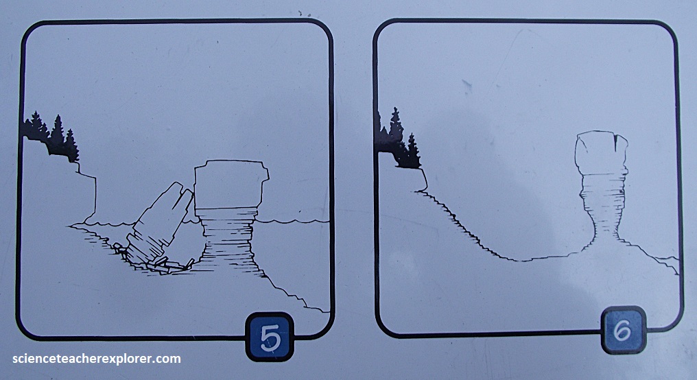
Georgian Bay has stayed more or less at the present level for some time and I could see that the pillars have nearly been worn through. This has resulted in the shape surveyors in the 1820s described as “flowerpots”. How many other flowerpots existed but have toppled?