In the summer of 2025, I had the opportunity to explore the southwest corner of Ontario, Canada.
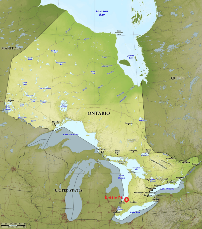
One of my primary focuses was to visit a geological wonder called Kettle Point. While I was there, I also explored and trekked Hungry Hollow, Rock Glen Falls and the Pinery Provincial Park, (imaged below). To explore this area, I drove from Collingwood, Ontario, south on Hwy. 21, along the coast of Lake Huron.
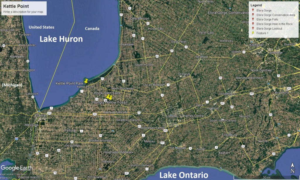
Just a few kilometers before Kettle Point, I pulled into the Pinery Provincial Park, (near Port Franks). Here, I could explore a large group of freshwater sand dunes, (5,800acres), on the east side of Lake Huron.
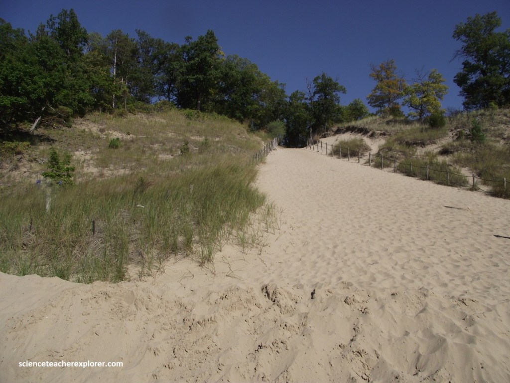
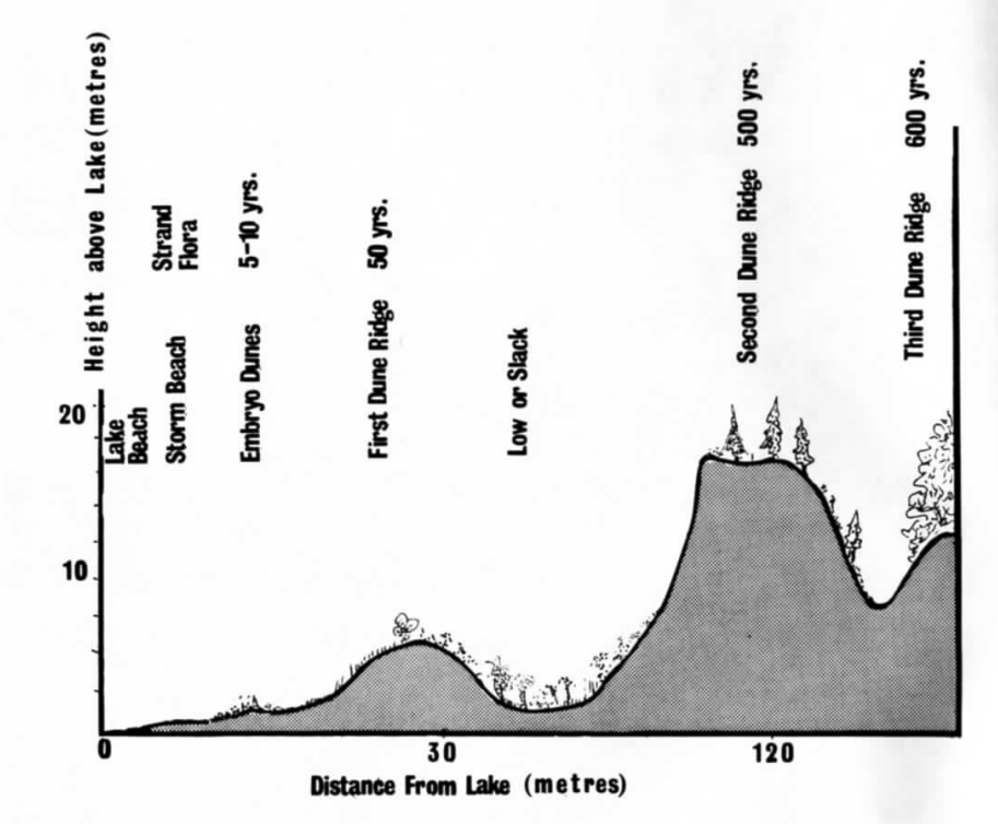
The Pinery due system is very large because of the vast amounst of windbown beach sand derived from the actively eroding cliffs cut in to soft sand-rich glacial sediment to the north. There are seasonal and long-term changes in Lake level; (When these beaches were exposed by low lake levels, they are quickly removed by wind). The sand moves inland where it builds into dunes up to 10m high. The sand changes shape from north to south within the Park, from narrow straight “longitudinal” dunes to wider “parabolic” dunes, reflecting an increase in delivery of sand from offshore along the coast. {The images below were taken from a general public domain source and adapted).
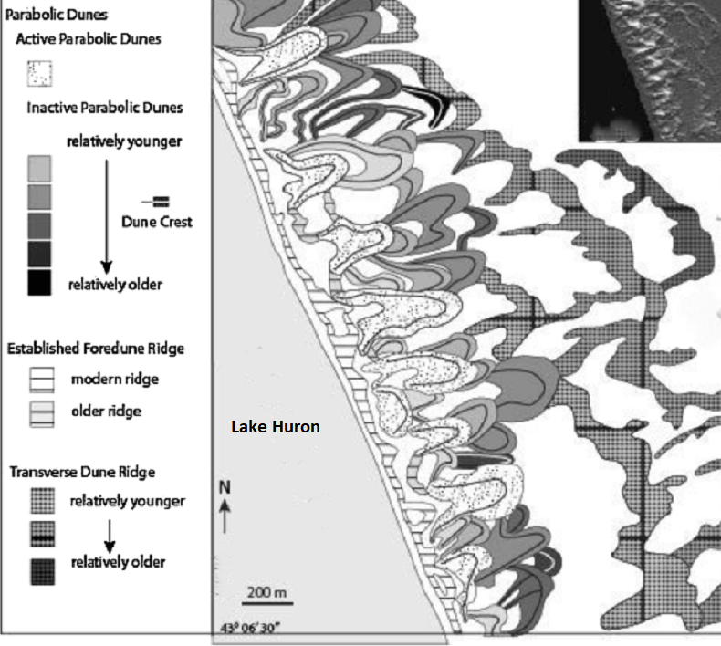
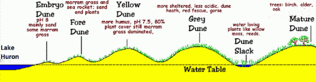
Six thousand years ago, this shoreline was situated at the main park entrance. The continual deposition of sand, coupled with lowering lake levels, has resulted in its migration to the present position.
Before reaching Kettle Point, I decided to turn left and head south on Hwy. 79, (for a few kilometers), to explore Hungry Hollow. Apparently, one of the best fossil collecting localities in southern Ontario could be found along the banks of the Ausable River, at Hungry Hallow. The Hungry Hollow Formation limestone is about 350 million year old.
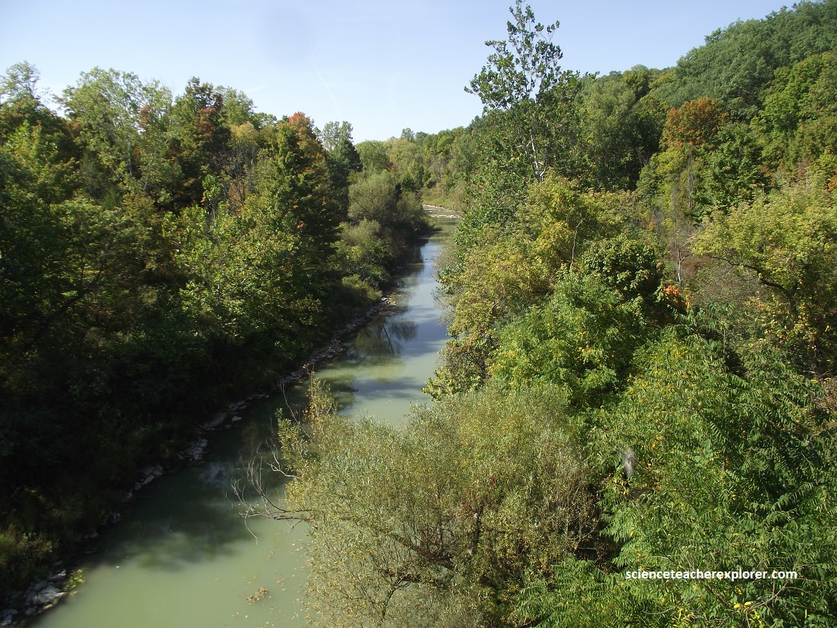
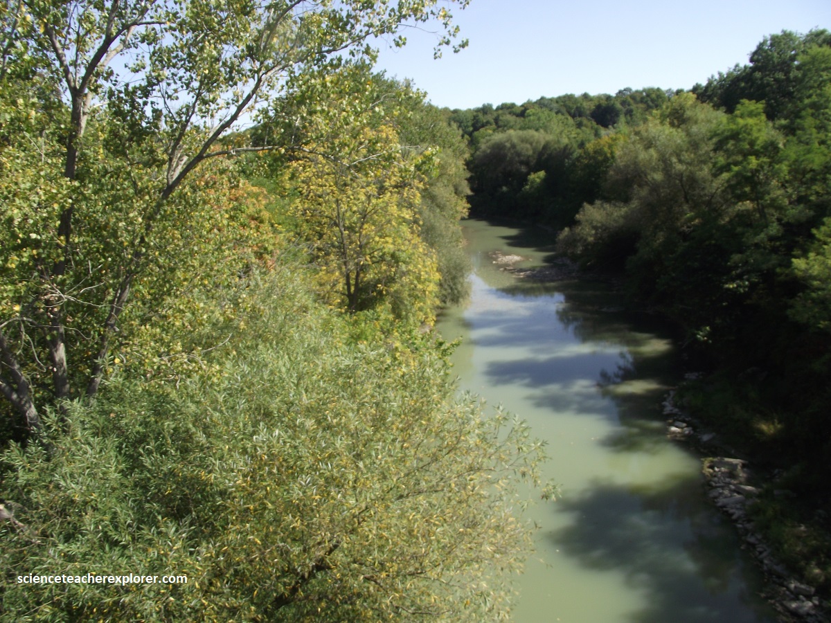
{The photos above are looking in the SE & NW directions along the Ausable River, Ontario 2025}
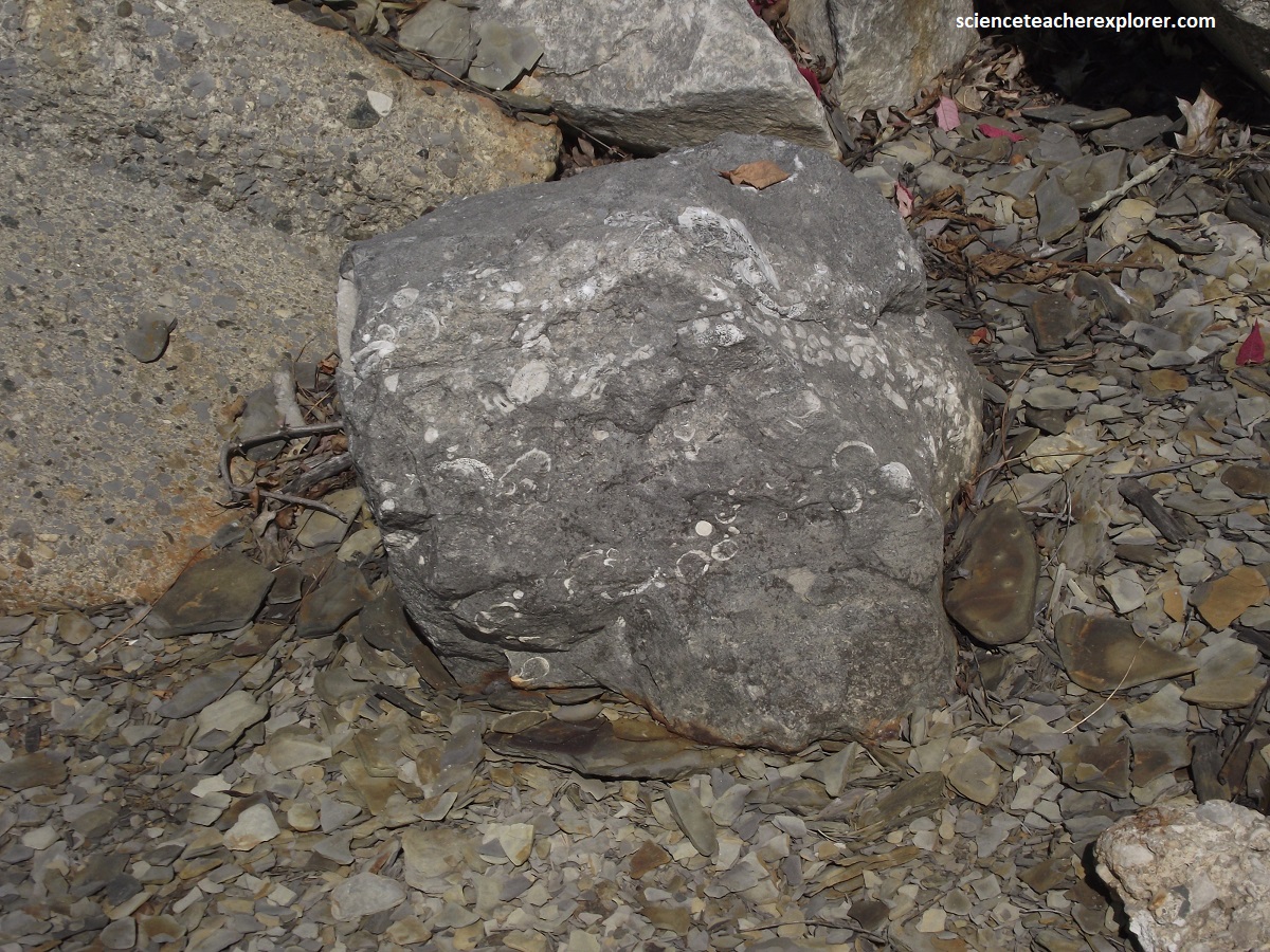
The dominant fossil types at the Arkona River sites are brachiopods, trilobites, corals and crinoid stems. I personally didn’t have much luck, but the manager at the Rock Glen gave me the left image below. I found the right or second image. (I was obviously missing something).
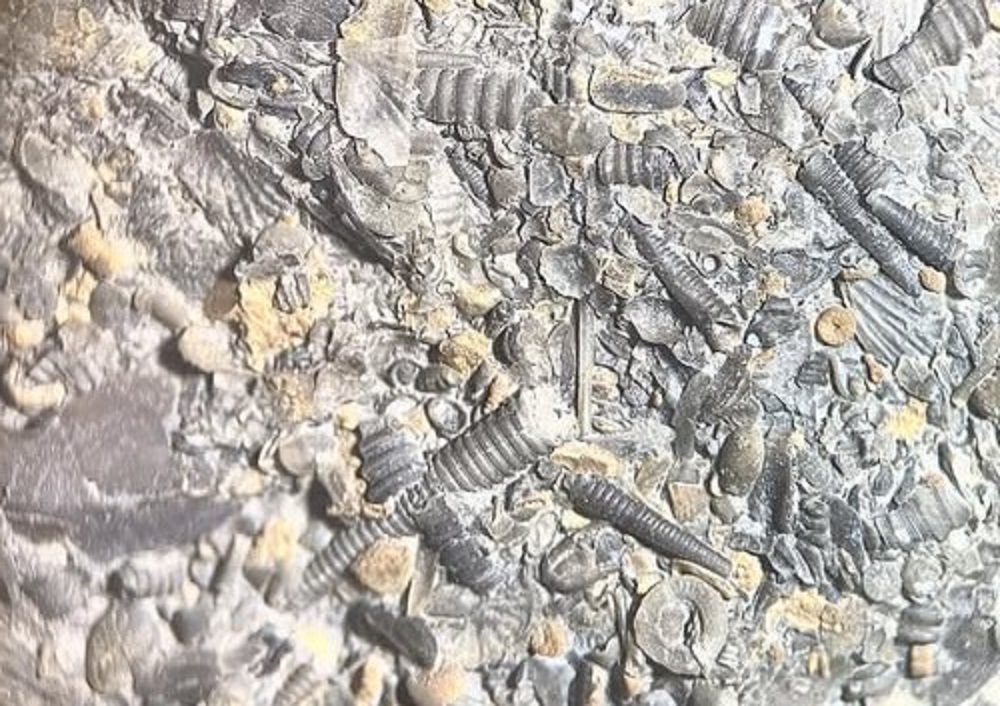
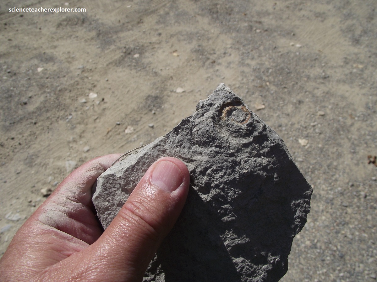
The Arkona limestone and shale accumulated as shallow water margins of the large sedimentary Michigan Basin. The sedimentary deposits also include substantial salt deposits, (mined north of here), that formed due to the evaporation of seawater under hot tropical conditions when Ontario lay close to the equator.
Later, I decided to trek around Rockport for awhile. {Note that the images below were taken from an Interpretive sign on-site}.
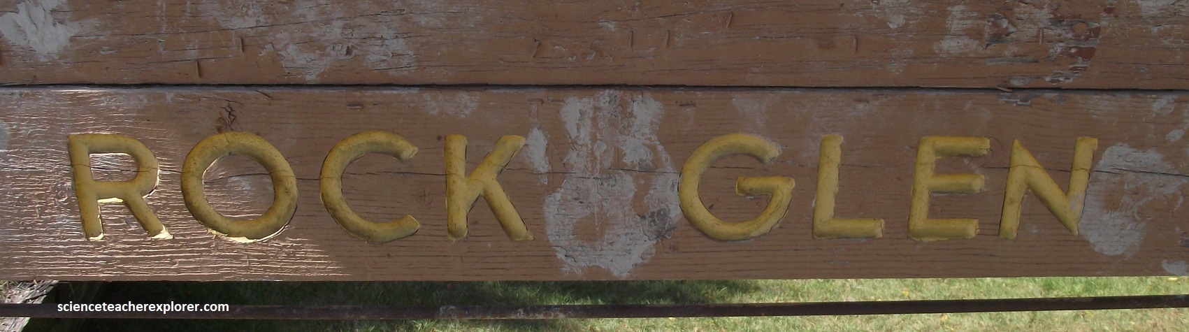
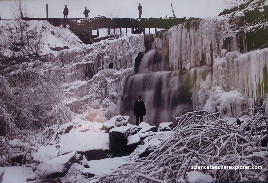
This area of Natural and Scientific Interest is composed of a stunning valley complex within the Carolinian Life Zone. The Ausable Gorge was carved out thousands of years ago by the Ausable River, exposing the underlying fossilized bedrock, making the gorge a world renowned treasure for fossil lovers.
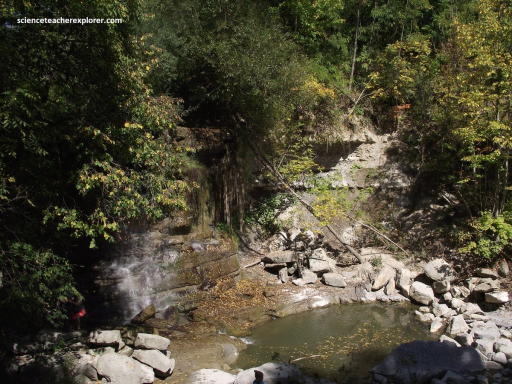
A rare mix of deciduous and Carolinian forest species is home to an exceptionally diverse plant and animal community with numerous species that are rare in Canada. The Southern Flying Squirrel, Hooded Warbler, Queen Snake, Tulip Tree and Sweet Joe-Pye-Weed are just a few of the Carolinian species inhabiting the 33m deep gorge.
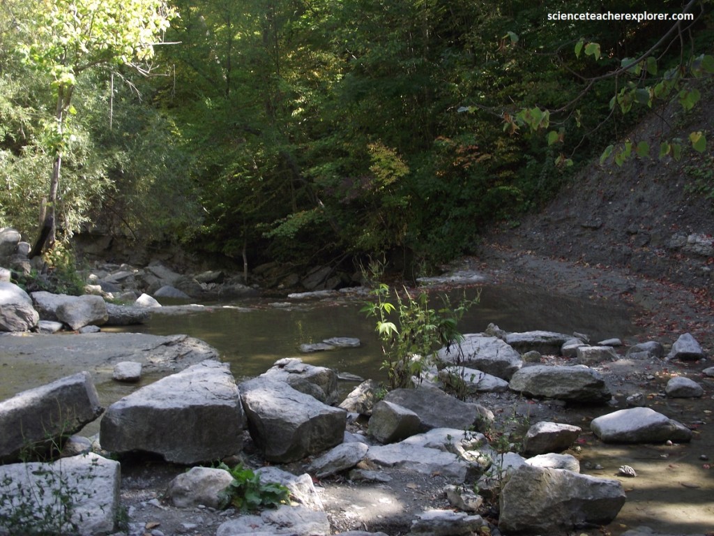
The extraordinary depth of the Ausable Gorge has created a number of breathtaking waterfalls that cascade over it’s rigid banks. The well know falls at Rock Glen tumble over 10m to the rocky bottom below, (pictured below). Such power was harnessed and used to drive several mill in the area along with a hydroelectric dam until World War II. Historic remnants of these old dam structures are still evident in the gorge today.
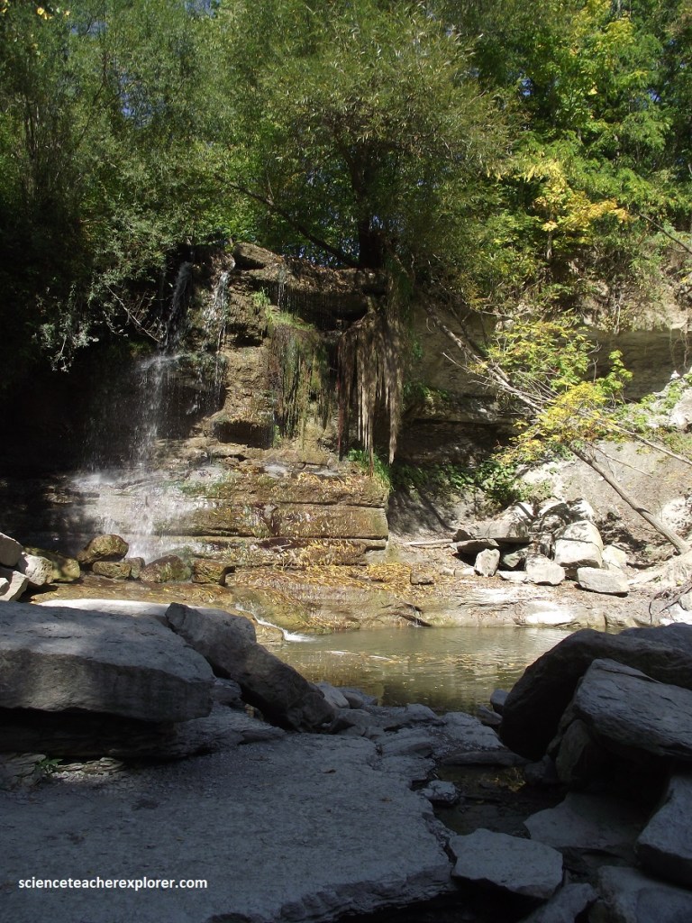
From Rock Glen, I drove NW on Hwy. 12, then North on Hwy. 21 to Hwy. 7 where I turned left and drove to the community of Kettle Point. There, I discovered that Kettle Point was a Native American community. So I decided to ask for permission and directions to the concretions from the local-lady in the library.
Kettle Point is un-ceded territory located along the south shore of Lake Huron. The Aboriginal peoples are officially known as the Chippewas of Kettle and Stony Point. Their land base consists of approximately 1,096 hectares that accommodates an on-reserve population of 2,108 persons.
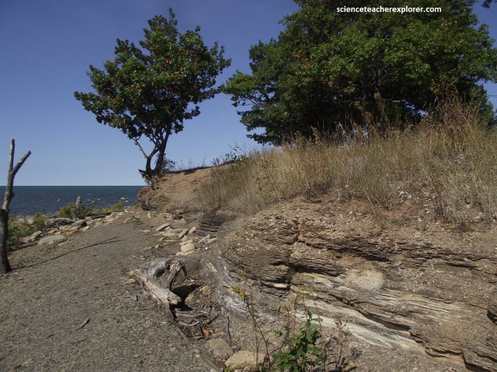
Kettle Point is named for its unusual spherical rock formations that erode from the underlying shale beds along the shore of Lake Huron. These rock formations known as “kettles” are unique to only three locations within the entire world.
It is the uniqueness of this First Nation that makes the preservation of the Kettle Point lands a high priority, not only for its “kettles”, but for the first people’s of this community and for the future generations to come.
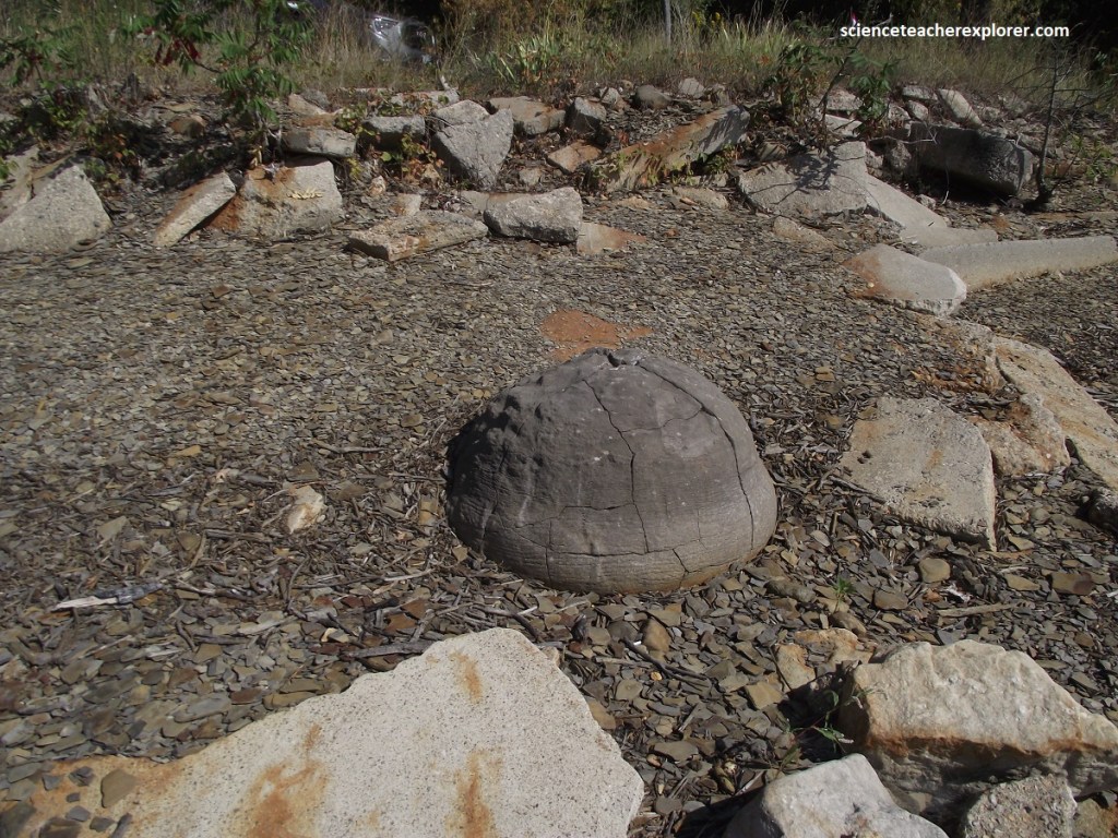
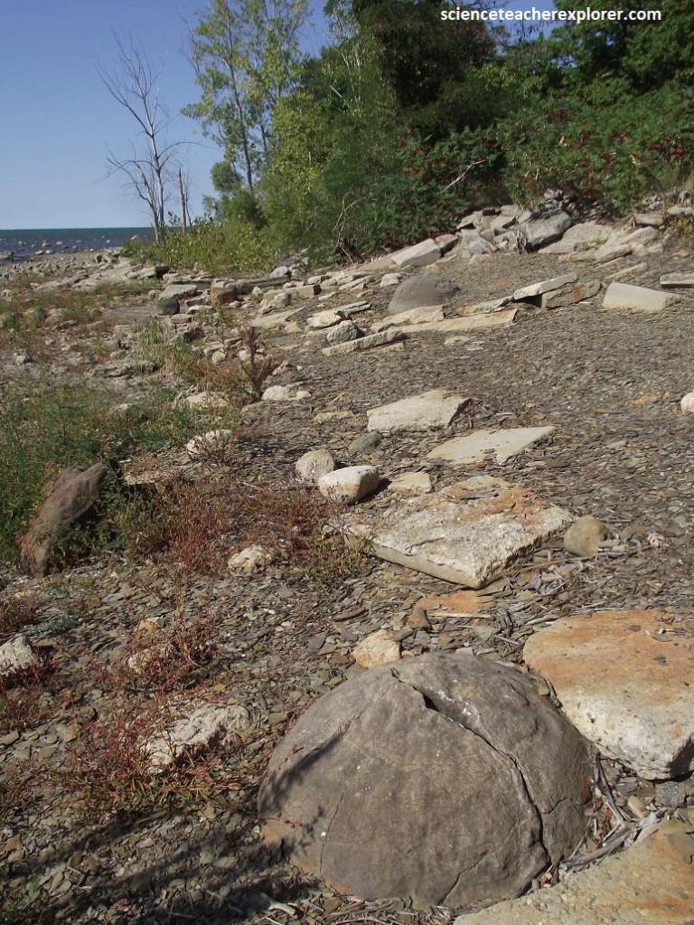
The Kettle Point Formation is a Late Devonian shale containing unusual rock concretions known locally as “Huron rocks”. These are called kettles because they resemble large cooking pots once use by pioneers.
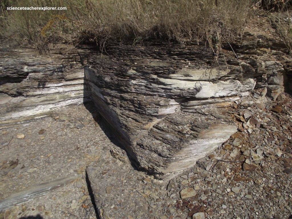
The Kettle Point Shale is a black, organic-rich bituminous shale. However, this shale contains few if any fossils. As a matter of fact, it’s high organic content is the result of algal material deposited in deep water in the Michigan Basin during the Devonian period about 360 million years ago. It is likely that low oxygen availability inhibited decay of algae. The algal material allows the shale to act as a source rock for oil where it has been deeply buried and heated.
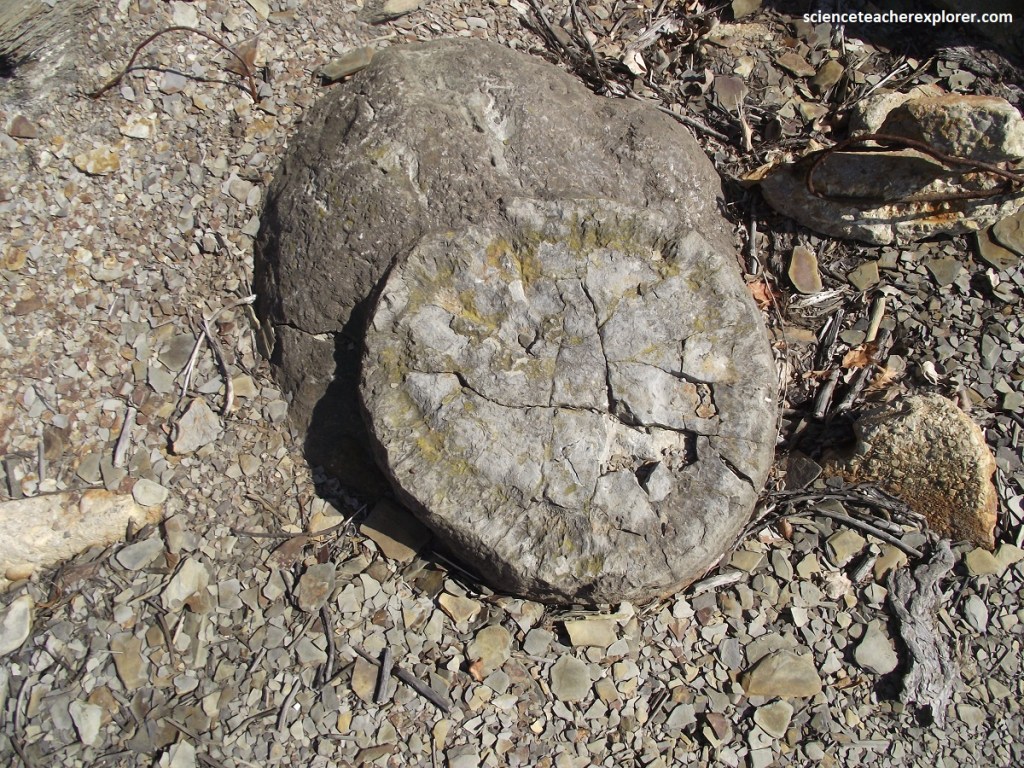
“Kettles” in the Kettle Point shale are large concretions up to 1.5m in diameter, and consist of the mineral calcite. This forms when calcium precipitates out of water in the same manner as calcium deposits build up in tea kettles. Picture above, the Kettle Point Shale kettles show a radiating internal structure indicating that they slowly grew over time.
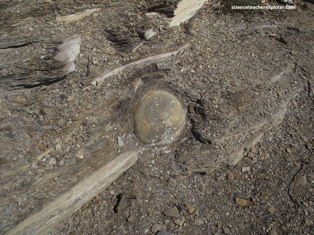
Despite the lack of fossilized organisms within the shale, there are extensive trace fossils from creatures that once burrowed in the original muddy sediment. The shale also exhibits very regularly spaced cracks or joints caused by neo-tectonic stresses which occur as the North American plate drifts westward.
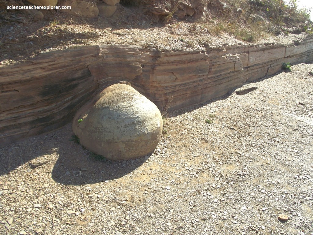
Kettle Point has thin layers of chert on top of the shale and below the overlying limestone. Chert, or flint, is composed almost entirely of silica, although it’s crystals are too small to be seen by the naked eye.
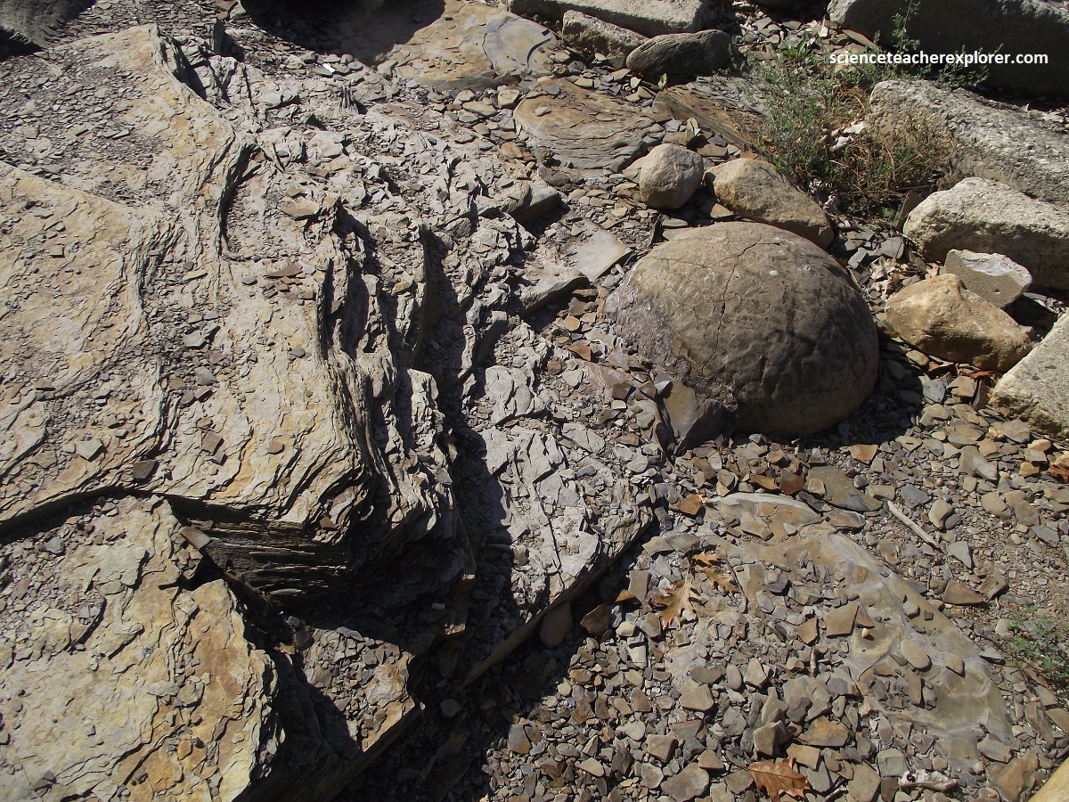
Chert consists of feldspar, certain types of quartz, and a few secondary clay minerals produced by chemical weathering. Some 10,000 years ago chert was mined by the Aboriginal peoples for tools and weapons. {The photos below are a collection of concretions found scattered around the small park above}.
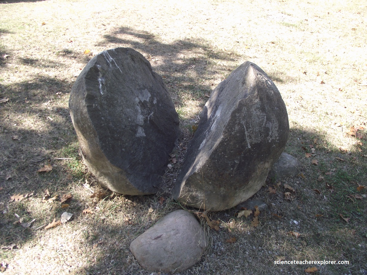
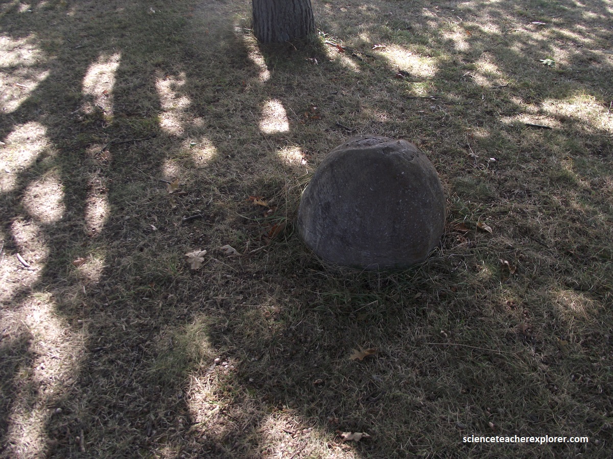
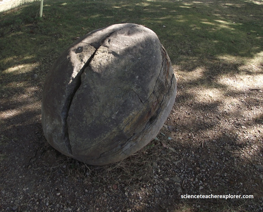
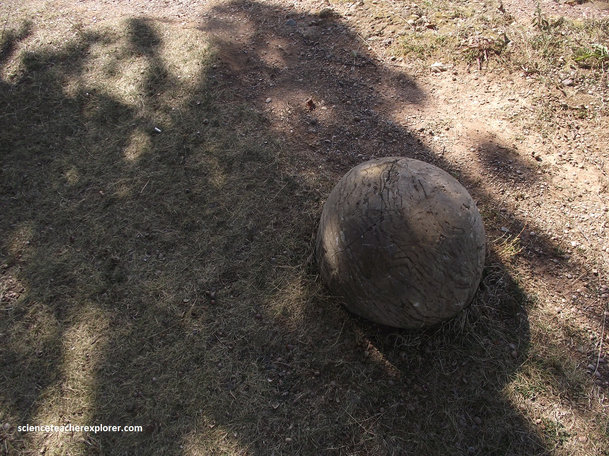
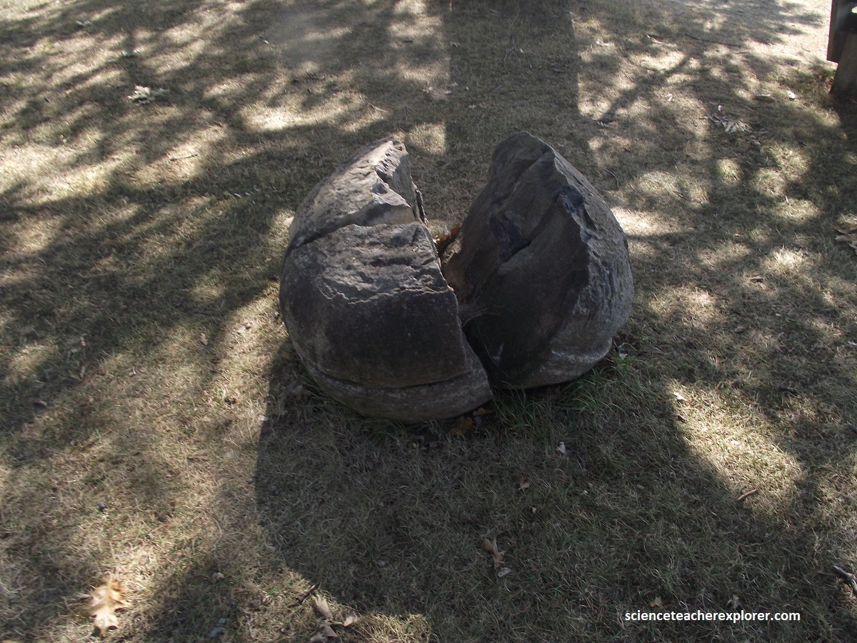
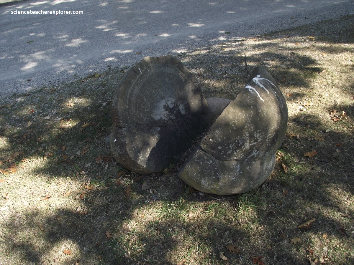
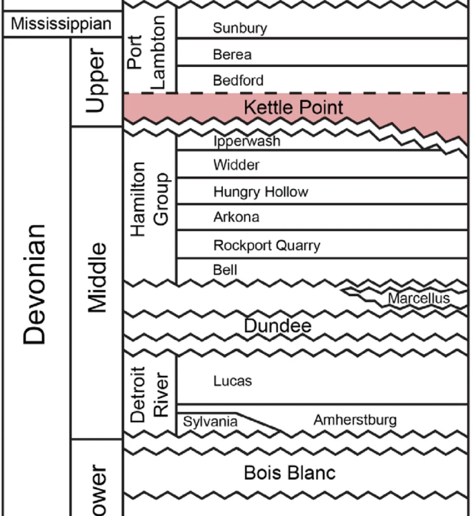
Because the concretions are so much harder than the enclosing weakly indurated shale, they readily weather out of the shale along the shoreline and are incorporated into the rubble mantling the lake bottom adjacent to the outcrop. It also should be noted that the lower contact of the Kettle Point Formation is a disconformity that lies on the uneven surface of the underlying Hamilton Group. The uneven topography of the basal contact is the result of a combination of the dissolution of the underlying Silurian Salina Salt and erosion of the underlying Hamilton Group. Additionally, the upper contact of the Kettle Point Formation is an erosional unconformity. Typically here at Kettle Point, it is directly overlain by Pleistocene glacial tills and related deposits.


Leave a Reply