Rockwood, ON 2025
In the late summer of 2025, I went on vacation in southwestern, Ontario.
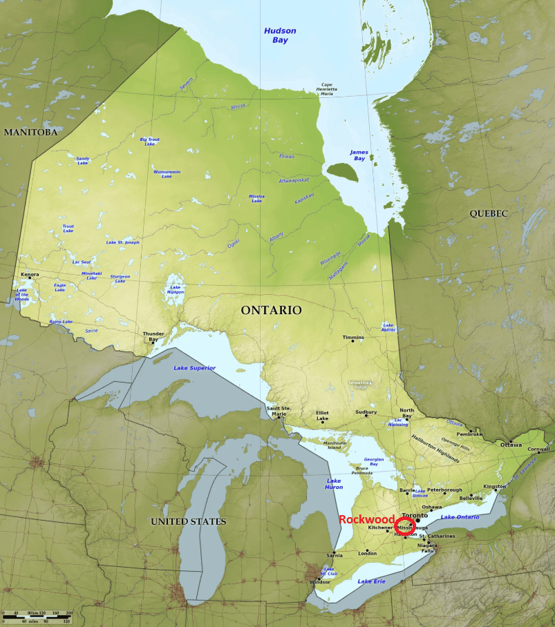
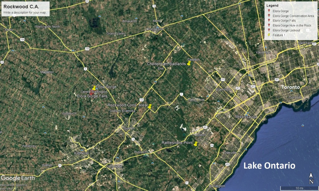
While in Ontario, I explored much of the terrane north-west of Toronto. One of the locations that interested me was the Rockwood Conservation Area, (79km west of Toronto). The Rockwood Conservation Area had a rich and unique geological aspect. A few specific features that were a part of the environment at the Rockwood conservation area included glacier bluffs, potholes, caves and some of the oldest dated trees in Ontario. Even though my main interest was to study these potholes at the Rockwood Conservation Area, I decided to use this location as the central base to explore and trek the surrounding Geo-sites. On this website, I’m going to focus on Geo-sites of the Elora Gorge, Cheltenham Badlands and Rattlesnake Point, (imaged below).
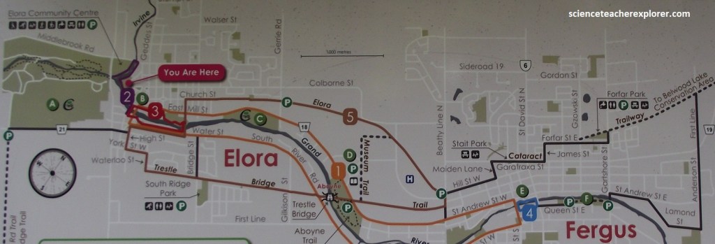
My first Geo-site was the Elora Gorge. To reach the Elora Gorge from Rockwood, I drove a few kilometers SW to Guelph on Hwy.7, and then a few kilometers NW to Elora-Fergus. There, on the west side of Elora was Victoria Park and the viewpoint for the Elora Gorge, (imaged below).
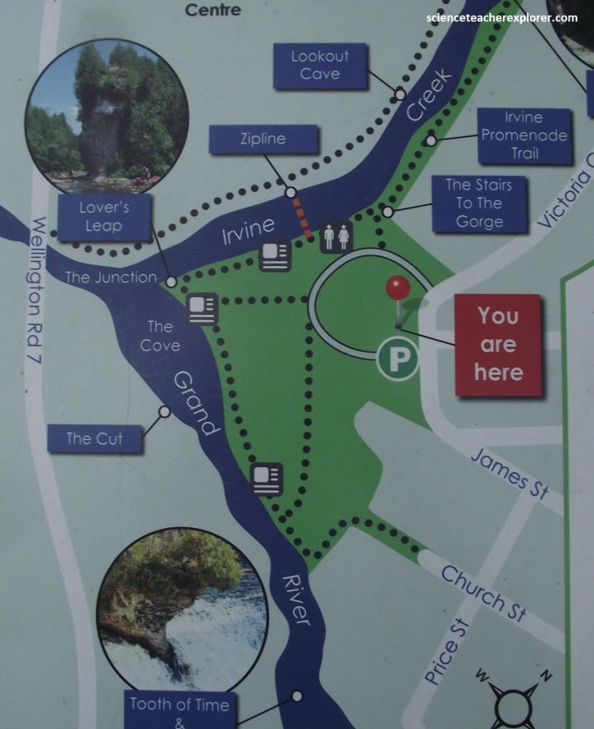
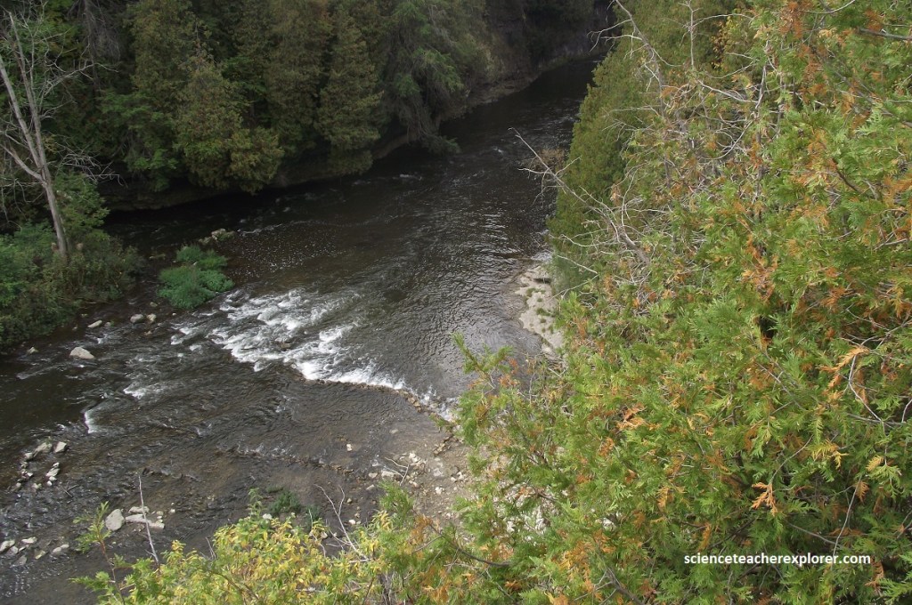
Elora Gorge is some 2km long and 25m deep. It was cut through limestone of the 410-million-year old Guelph Formation of the Upper-Silurian age. The Guelph Formation has fossils that indicate that it was probably a reef-like formation that has been turned to dolostone. Dolostone is a much harder sedimentary rock that resists erosion. {The photos below are of the Guelph Formation, seen from Lover’s Leap}.
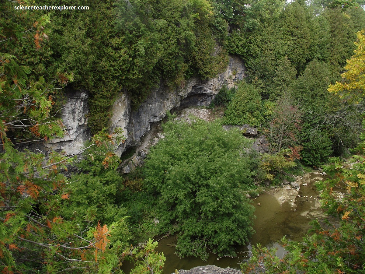
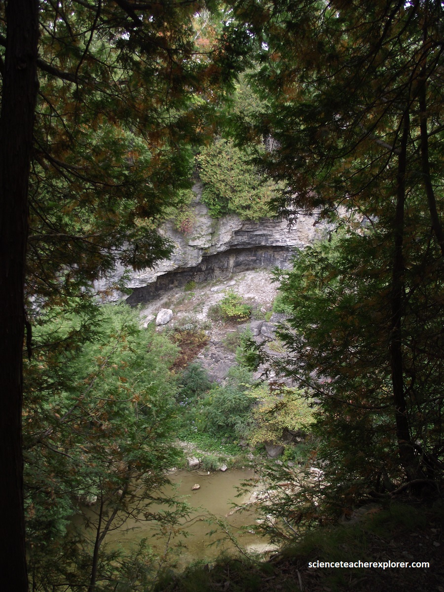
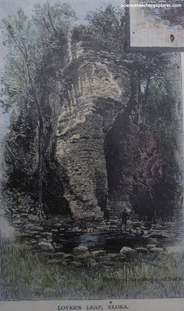
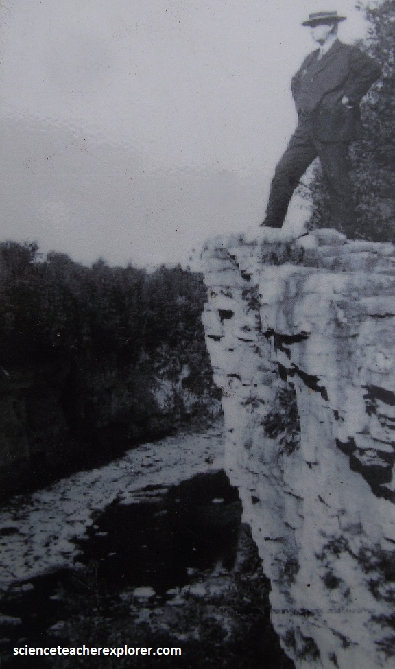
The beauty of Elora’s rivers and cliffs has long distinguished it from other villages. Lover’s Leap was named by the village’s 19th-century residents who came to terms with Ontario’s long indigenous history by conflating it with the natural landscape. Moved by the majesty of the cliff, they contrived the story of a heart-broken indigenous maiden who leapt from it’s heights in despair at news of her true-love’s death. Similar tales circulated in other places. The historical validity of such stories is questionable but the name Lovers’ Leap continues, forming a tangible link to Elora’s early European settlement more than to the area’s much-longer indigenous past. {Image below was a post-card taken from an Interpretive sign on-site}.
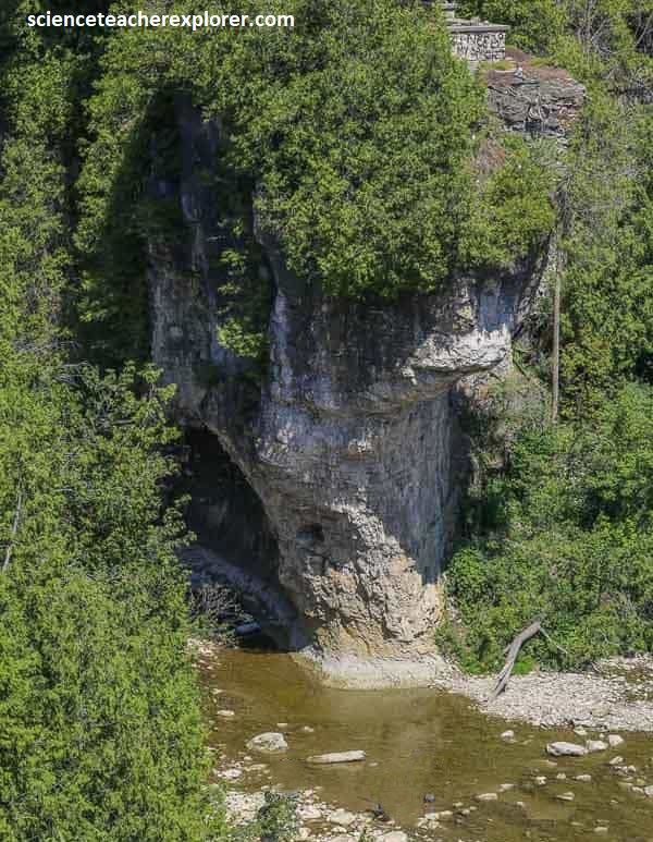
By the mid-1870s, residents recognized the beauty of the gorge, but the priority of industry an a general lack of stewardship led it to function more as an industrial dumping ground than a tourist site. Actually, in 1868, the garbage in the gorge caught fire and burned for an astonishing 10 days. As a result, dumping garbage gradually subsided. {The historical image was taken from an Interpretive sign on-site and the photo is of the David Street Bridge}.
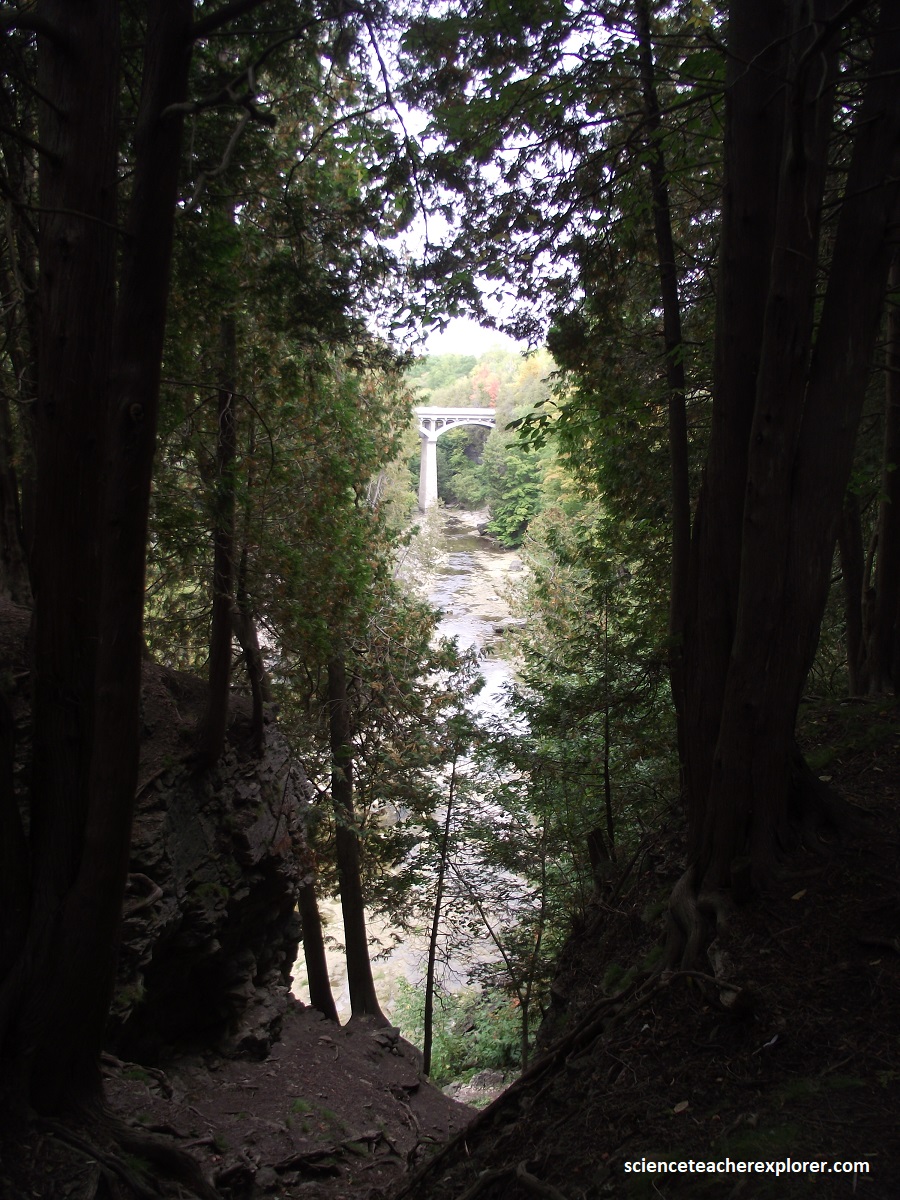
It wasn’t until the end of the 1870s that a concerted effort was made to improve the landscape and in 1880 the railway began offering tourist excursions from places like Toronto. Since then, people like myself, have ventured from near and far to spend an afternoon picnicking at ‘the Rocks’, the familiar name given to the limestone walls of the gorge.
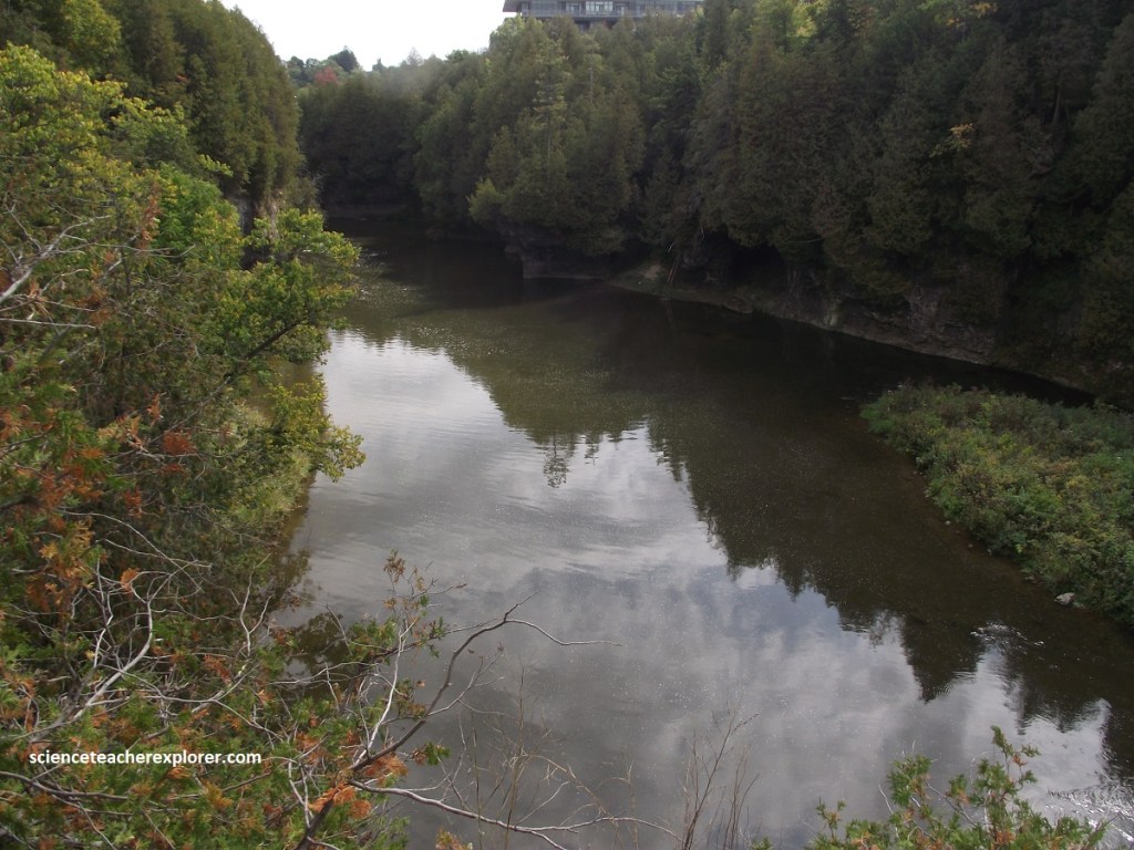
About 12,000 years ago, the Elora Gorge was cut by glacial melt rivers running across the landscape at the end of the last glaciation. Older features also occur here, buried below sediments and suggesting a longer history of cutting and filling.
From Elora, I continued driving north up Hwy. 6 for a few kilometers to Arthur. Then I turned right, (east), on Hwy. 109 to the next town called Orangeville. From there, I turned right again on Hwy. 10, and drove to Hwy. 12, where I turned right again. Within a kilometer, I drove past the Cheltenham Badlands.
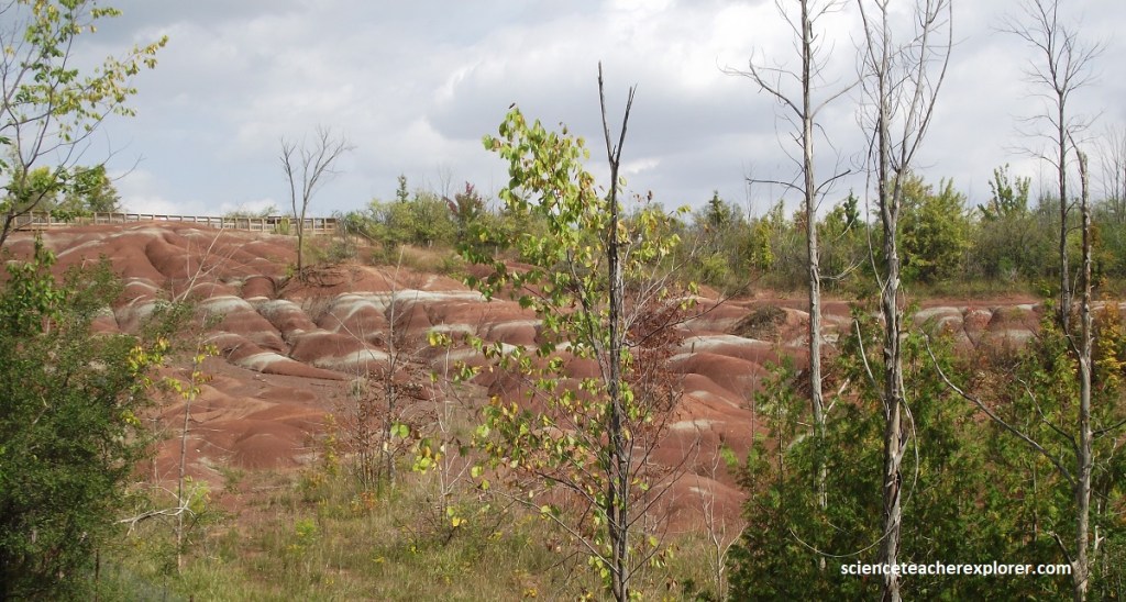
Pictured above and below, the Cheltenham Badlands show deep gullies eroded into brightly colored red, white and green rocks of the Queenston Shale. All vegetation and soil has been stripped by erosion so that the area resemble the classic badland regions you see in the movie-westerns.
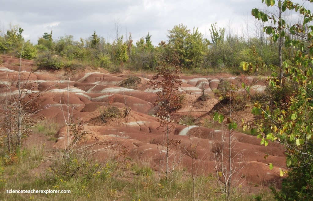
This area was once the edge of a tropical sea teaming with life, 444-461 million years ago. Muddy sediment carried by fast moving, iron-rich rivers built muddy tidal flats. The Ordovician Queenston-Shale is bright red due to the high iron content of the sediment, Iron becomes oxidized in the presence of water and air. This chemical change impart the deep red color. The white/green stripes result where oxidation has not occurred and the iron remains in a “reduced” (non-oxidized) form.
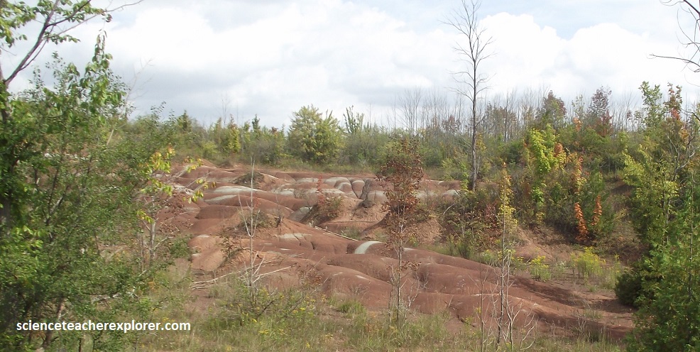
The badlands formation is due to overgrazing by livestock, which stripped the area of its protective vegetative cover around 1900. The topsoil and the shale beneath it, once exposed, eroded with astonishing speed.
Going back on Hwy. 10 and driving southeast to Hwy 401, where I turned right and drove southwest to Milton. Rattlesnake Point is perched dramatically atop the towering Niagara Escarpment, west of Milton and affords fine views of Lake Ontario.
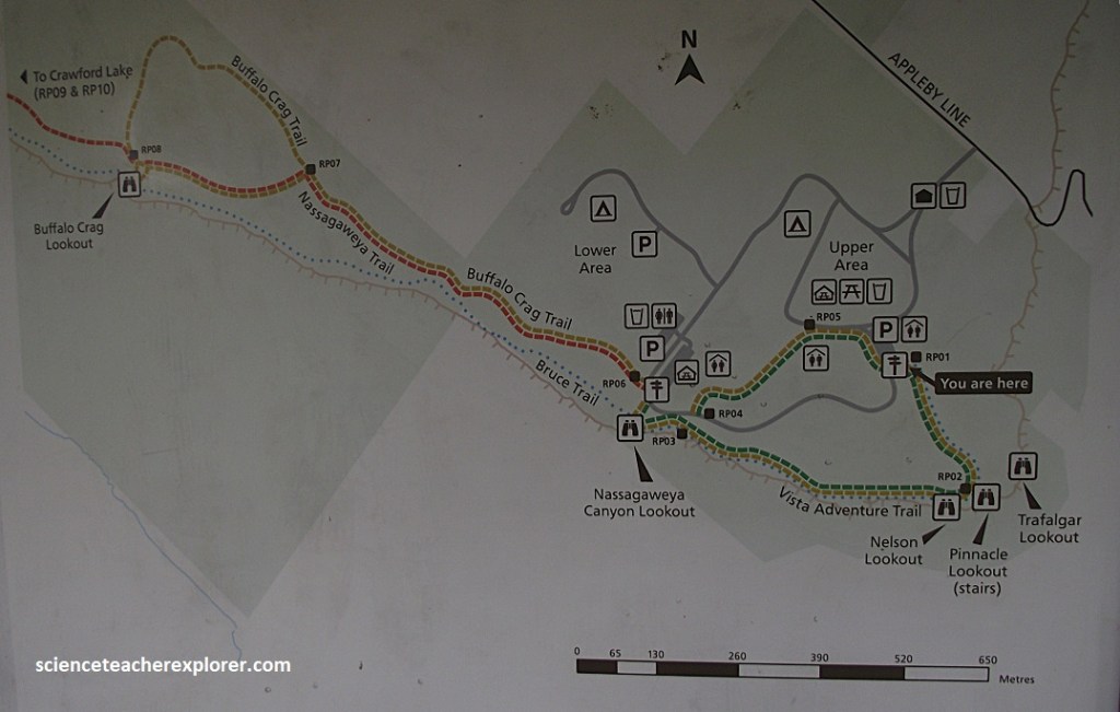
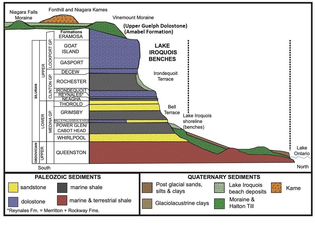
The Amabel Formation dolostone makes up the resistant cap rock of the Escarpment, forming a magnificent cliff, popular for rock climbers.
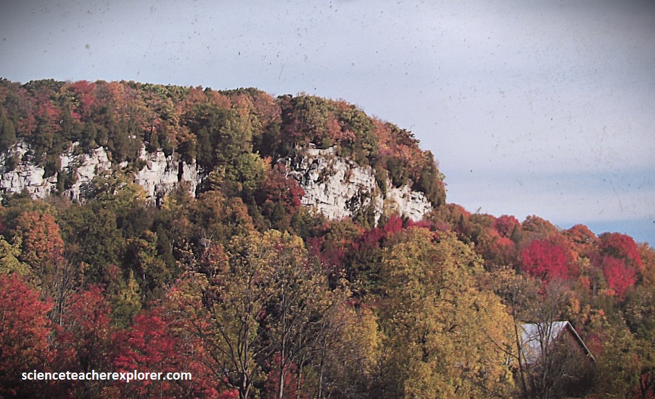
Pictured below, Rattlesnake Point offers one of best views from the Niagara Escarpment in Ontario. It marks the outcropping edge of 400-million year old upper-Silurian limestones hardened chemically by the mineral dolomite to form “dolostone”.
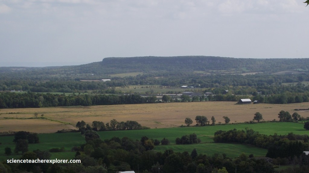
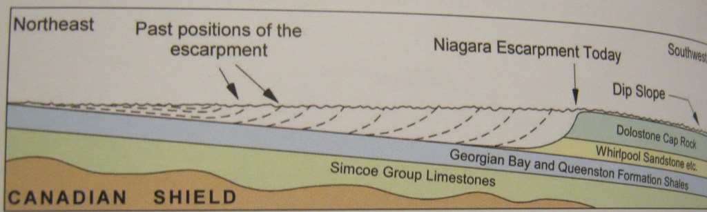
The Amabel Dolostone forms a protective cap rock to softer rocks below. But as hard and immoveable as it seems, the Escarpment itself is virtually evolving year-in-year out, as rocks fall from the face and as rain waters slowly dissolve the rocks. Even, every 20,000 years or so, it is scraped clean by ice sheets and cut into by powerful meltwater rivers. So, over millions of years, the Escarpment retreats down dip towards the west.
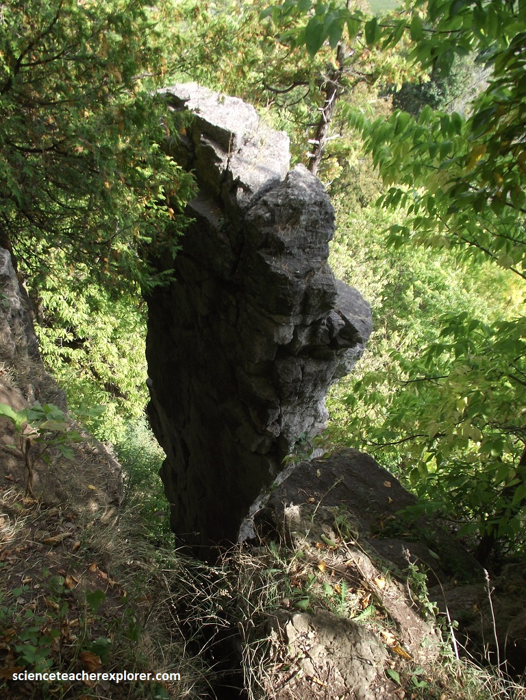
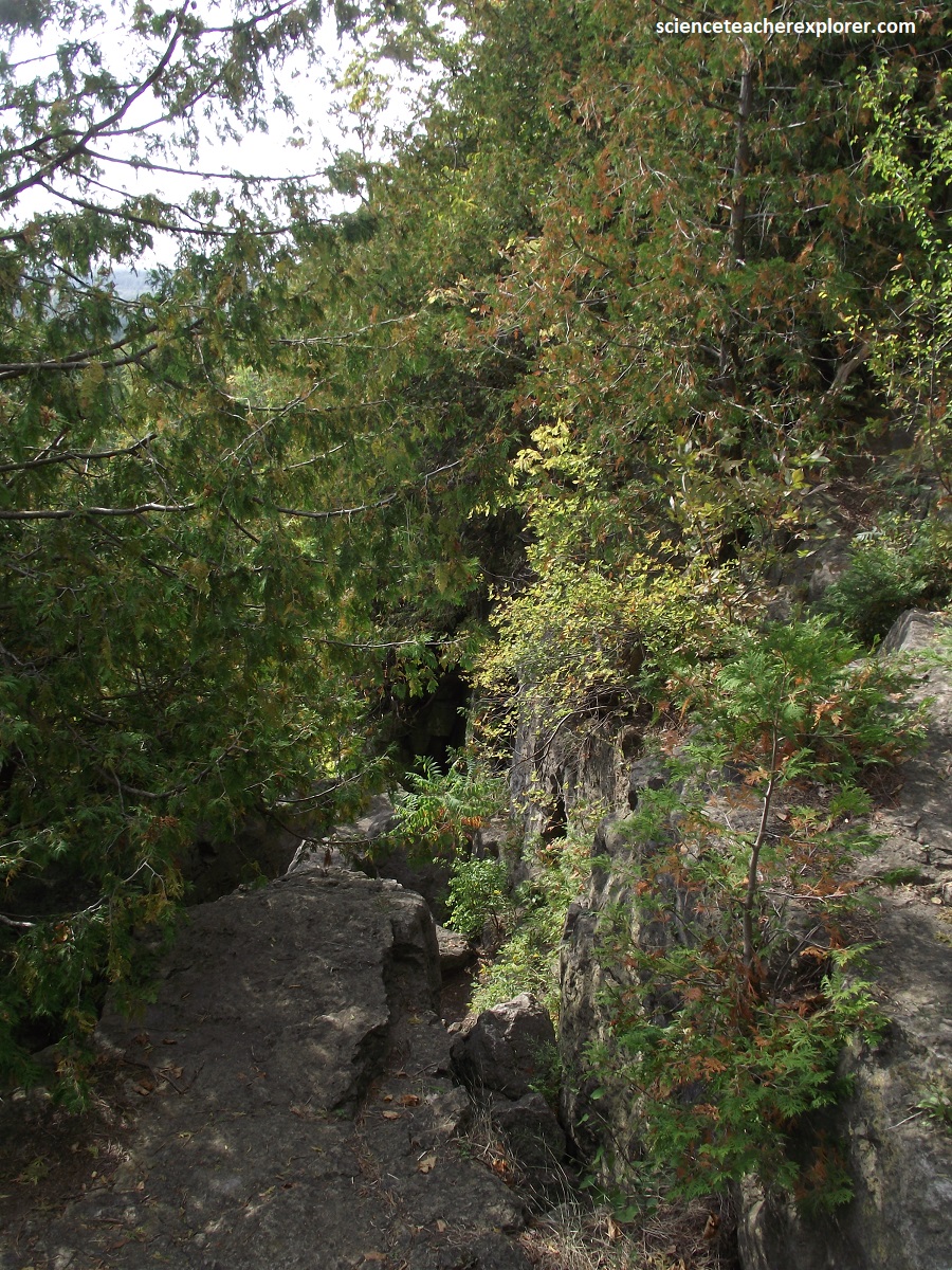
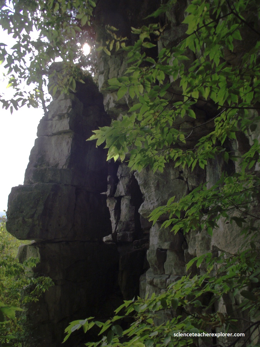
{The photos above were taken off of the Trafalgar Lookout on Rattlesnake Point, Ontario, Canada 2025}.
Pictured above, joints or cracks are slowly widening to leave upstanding intervening pillars. Piles of broken rocks, talus or scree are found at the base of the cliff recording rock falls.
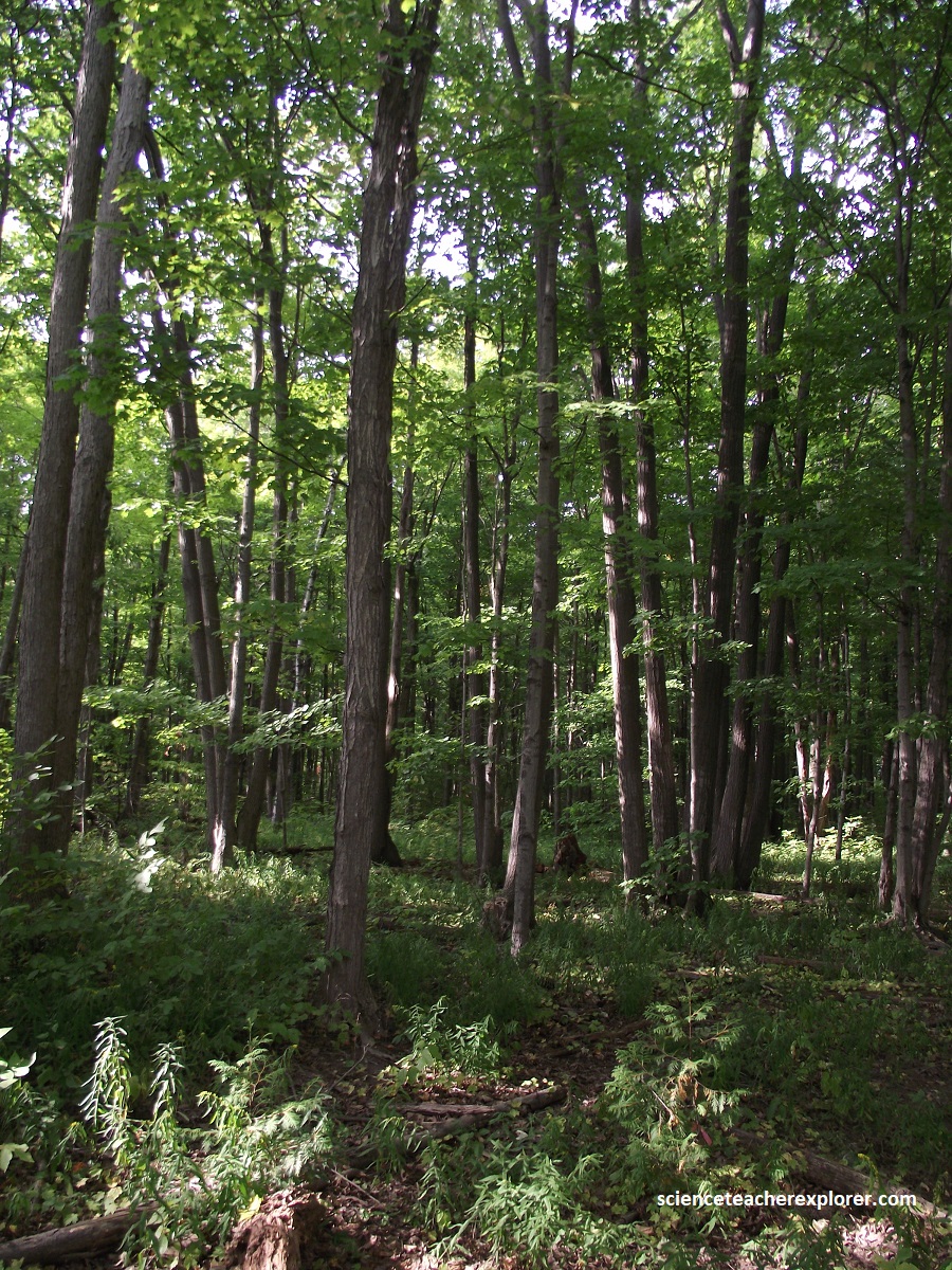
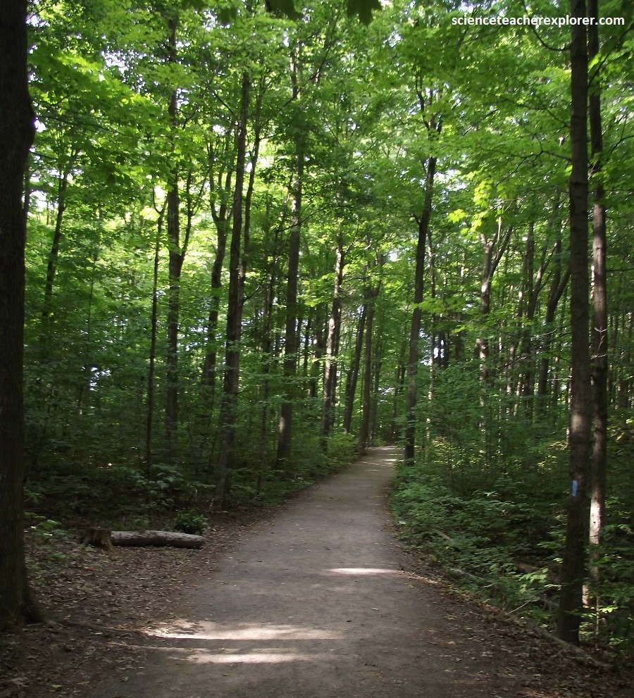
The Niagara Escarpment is home to over 1500 species of plants, 325 bird species, 55-mammal species and 30 species of reptiles and amphibians. Common vegetation communities include rich slope forests of Sugar Maple and Black Maple mixed with Tulip-tree and Red Elm. Drier slopes have oak-hickory forests of Red, White, Black, and Chinquapin Oaks mixed with Bitternut, Shagbark, and Pignut Hickories, (all trees characteristic of the eastern deciduous forest region). Under-storey species are largely southern ones such as Flowering Dogwood, Running Strawberry brush, and Yellow Mandarin. {The photos below were taken off of the Buffalo Craig Outlook towards the Northwest & Northeast, towards the Nassagaweya Gorge}.
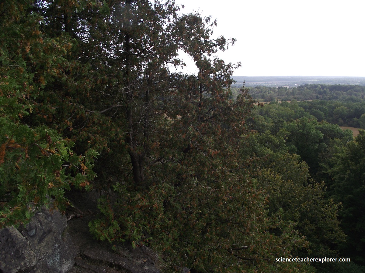
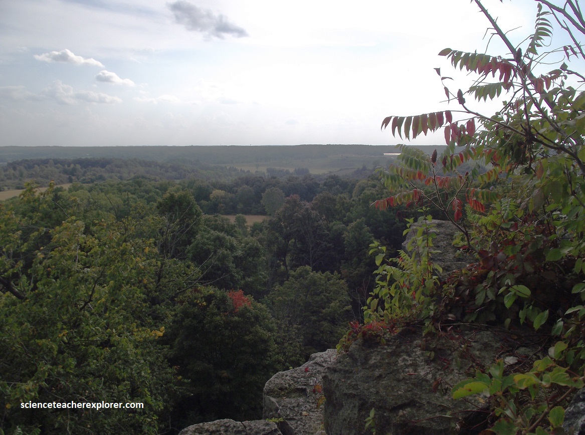
Pictured above, Rattlesnake Point lies on the southern extremity of the Milton Outlier, a large segment of the Niagara Escarpment separated from the main rock mass by Nassagaweya Canyon. This steep-sided canyon was originally eroded by a pre-glacial river, but during the Pleistocene Ice Age, it was widened and deepened. During recession of the ice the canyon became a major meltwater channel and today, extensive gravel pits are located in the deposits of sand and gravel, laid down by the running water.

