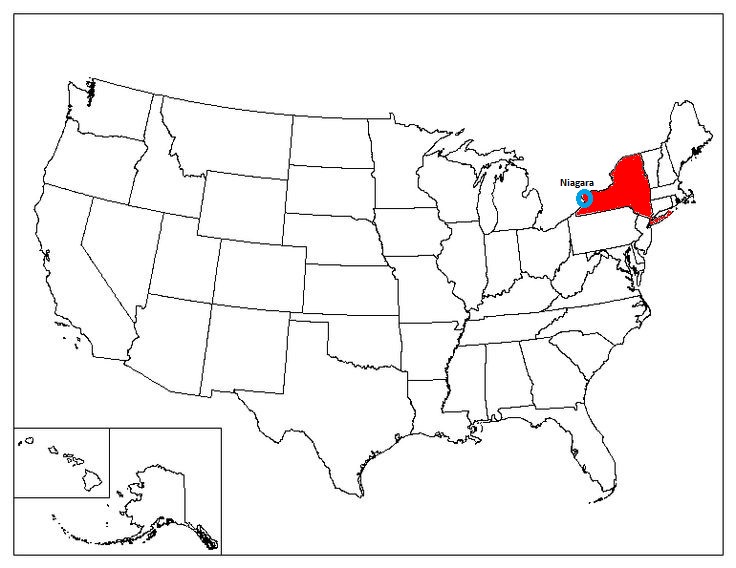
Niagara, NY 1993
While visiting relatives in Northern Pennsylvania in 1993, Becky (my wife) and I visited the Niagara Falls, New York. Later, we returned in 2025 to explore the river.
We started our trek on the northern end of Niagara River on NY18. We stopped at a small grassy-park to take in the view of Lake Ontario, (pictured below).
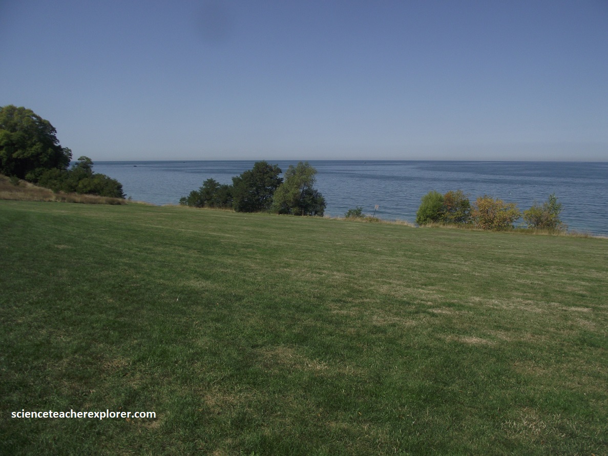
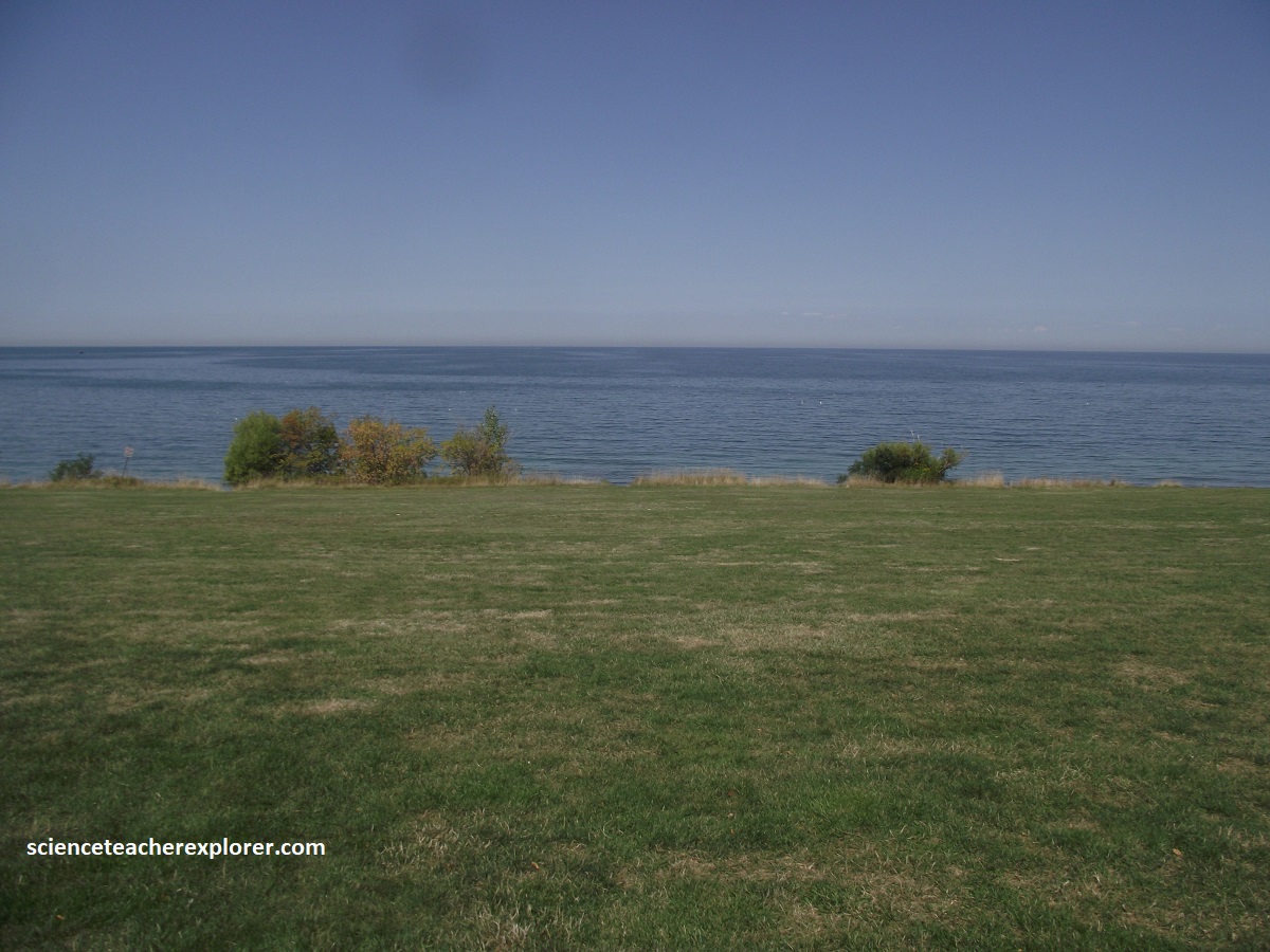
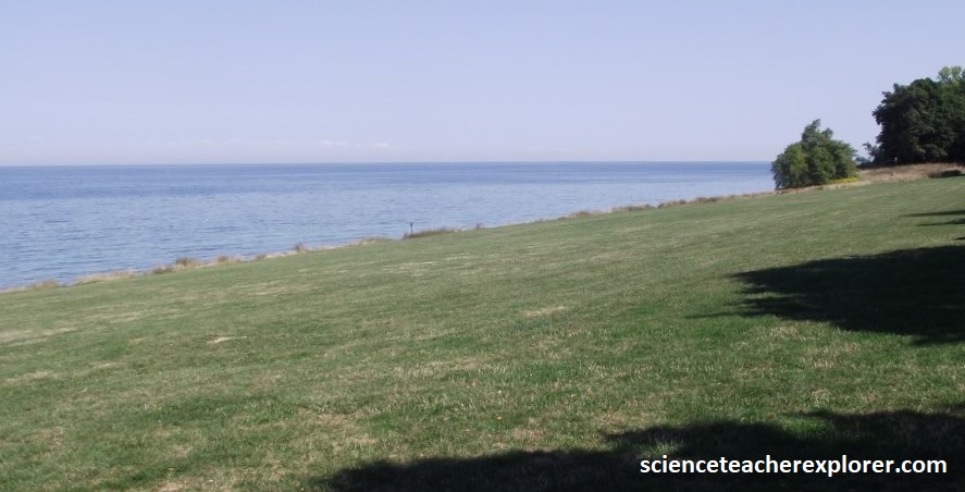
{The pictures above were taken on the New York shores of Lake Ontario in 2025}
Lake Ontario is approximately 6,000 years old, 311km wide, with a maximum depth of 267m. In surface area, Lake Ontario is the smallest of the Great Lakes. The largest waterway feeding into the lake is the Niagara River. Many smaller rivers and tributaries contribute to the lakes’ flow into the St. Lawrence River east of the location seen above. Supposedly, on a clear day it is possible to see Toronto across the lake here. Originally called York, Toronto is only 48km to the north. Founded in 1793 as a defense post to guard against the threat of United States invasions. York was incorporated as the city of Toronto in 1834. The Industrial Revolution of the 19th century and immigration after 1945 cause the city to grow to 2.5 million residents.
NY18 elbows abruptly southward at the mouth of the Niagara River. Here at its outlet the river is so broad and placid that it’s hard to believe it carries most of the water flowing out of Lakes Superior, Michigan, Huron, and Erie.
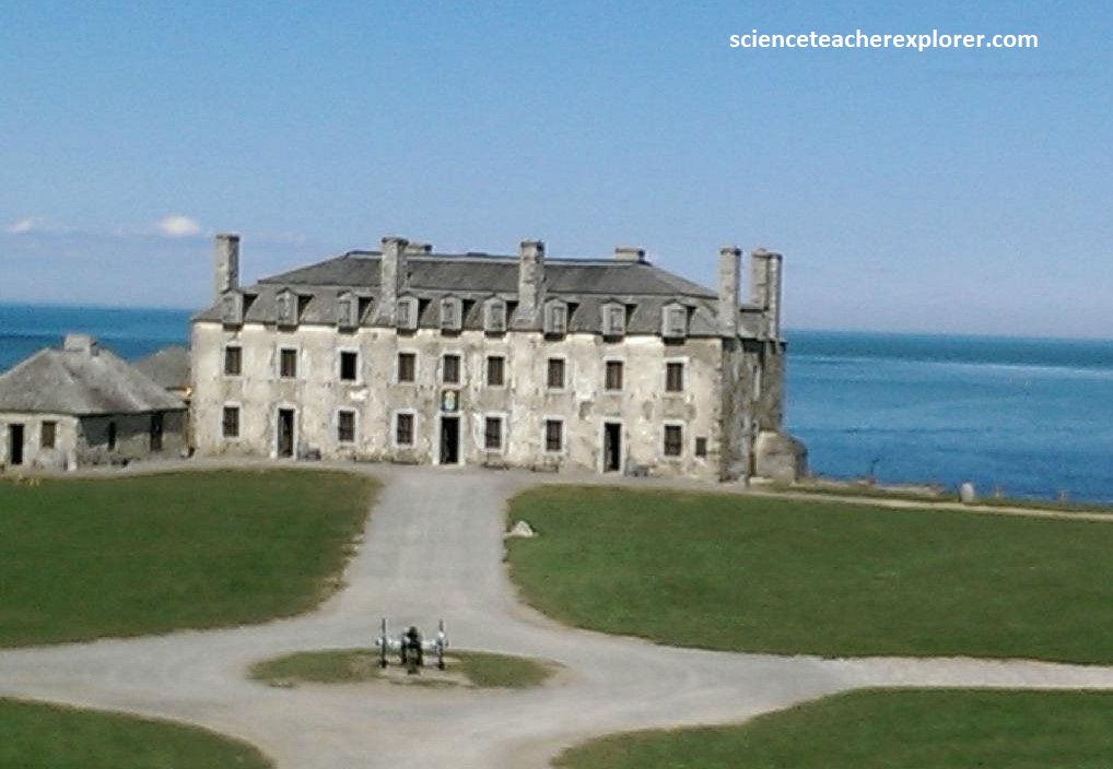
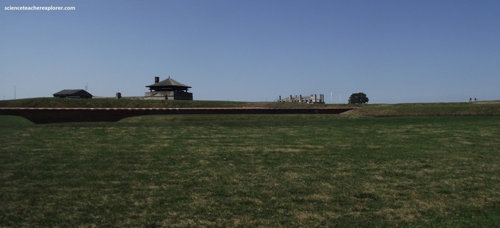
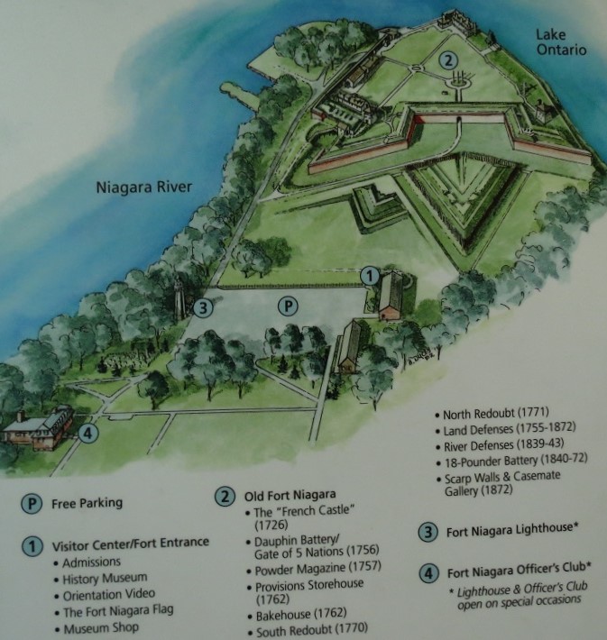
Pictured above, for more than three centuries Old Fort Niagara has stood guard at the river’s mouth. It’s most conspicuous feature, the 1726 French Castle, is among the oldest structures in the Northeast. In an effort to calm the fears of hostile Iroquois Natives, the architect disguise guardrooms, powder magazines, and soldiers’ quarters in a building that resembles a large, utterly unthreatening manor house.
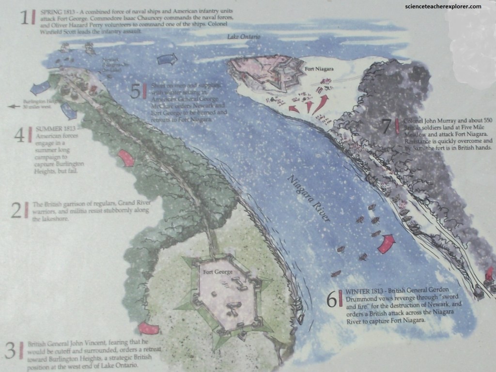
Cross-Border Exchanges with the English includes: October 13, 1812: American forces under the command of Major General Stephen van Rensselaer briefly seize Queenston Heights before being driven back across the river. Fort George and Fort Niagara exchange artillery fire. November 21st, 1812: Following the American’s failed invasion of Upper Canada, gunners at Fort George and Fort Niagara exchange cannon fire throughout the day. April 27th, 1813: Combined American naval and land forces attack and burn York, (Toronto), the capital of Upper Canada. American General Zebulon Pike is killed attacking Fort York. May 26, 1813: The guns at Fort Niagara aid in Winfield Scott’s landing and capture of Fort George. December 10th, 1813: Americans burn Newark and Fort George. December 19th, 1813: British attacks seize Fort Niagara and destroy Lewiston and Youngstown. December 21st, 1813: British raids burn Manchester (Niagara Falls) and Fort Schlosser. July 24th, 1814: British forces cross the Niagara and drive American guards from Lewiston. May 22nd, 1815: American troops re-occupy Fort Niagara.
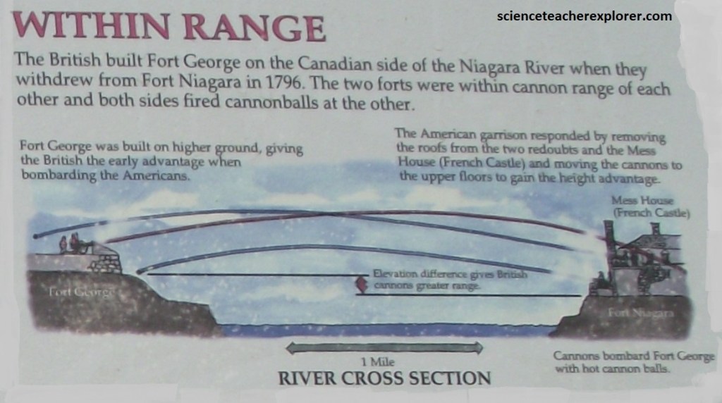
It also should noted: In July 1759, 2,300 British and New York troops, with about 900 Iroquois allies laid siege to French-held Fort Niagara, 19 day later, with its wall breached and a French relief force defeated only a 1.6km away, Fort Niagara surrendered.
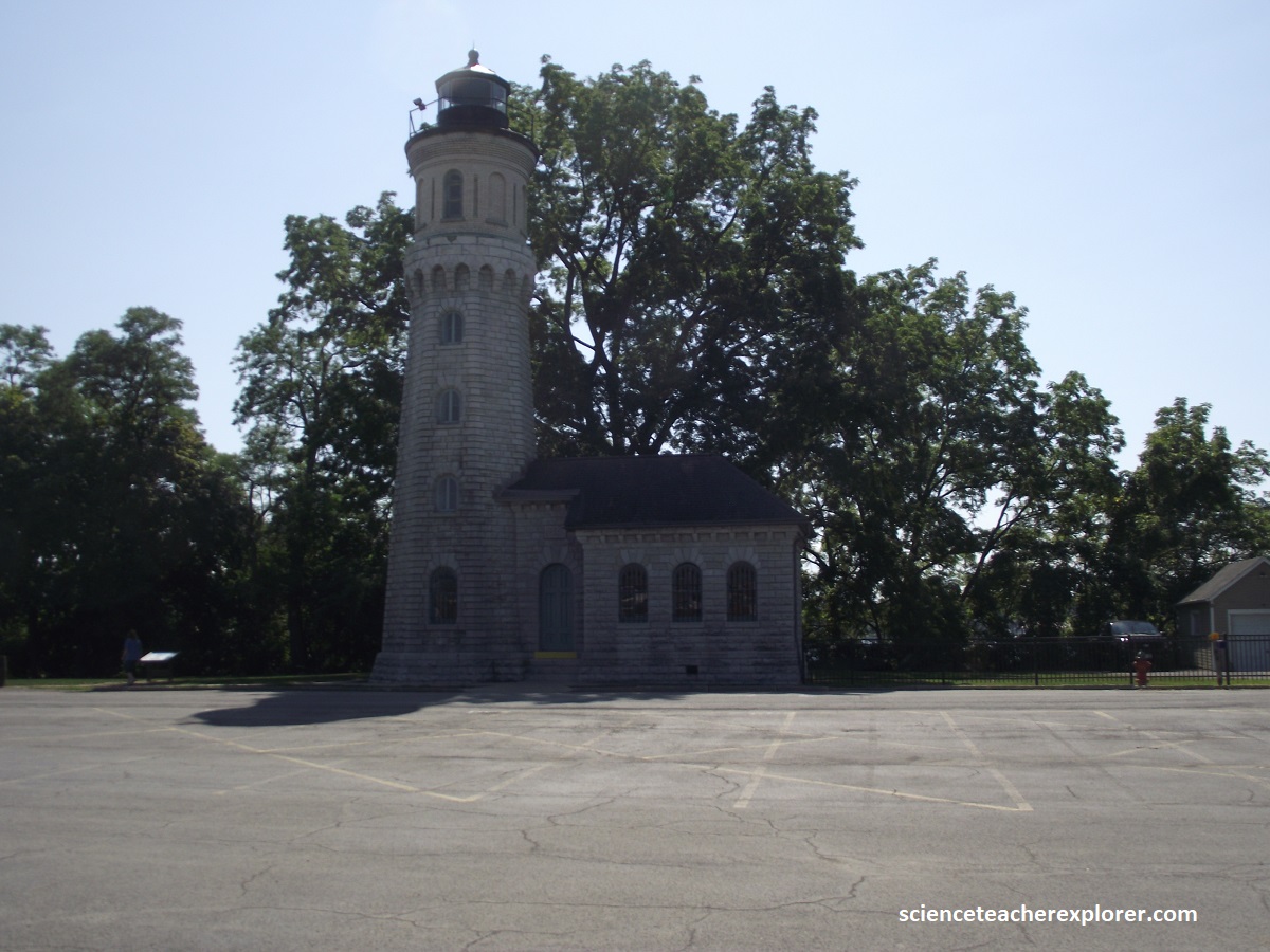
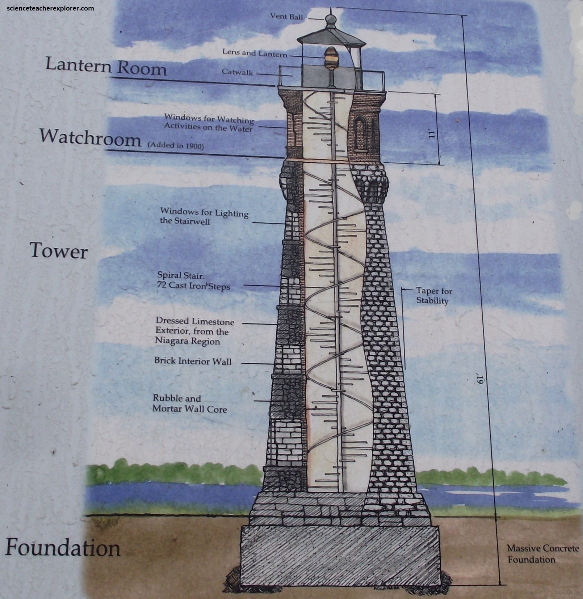
{Pictured above is Old Fort Niagara Lighthouse, New York 2025; (Image on the right was taken from an Interpretive Sign, on-site.)}. The earliest lighthouse on the Great Lakes, was a lantern on the roof of the French Castle inside the fort. However, from that first whale oil fueled lantern room on the roof of the ‘castle’, the Niagara lights evolved to the detailed tower erected outside the fort’s walls pictured above.
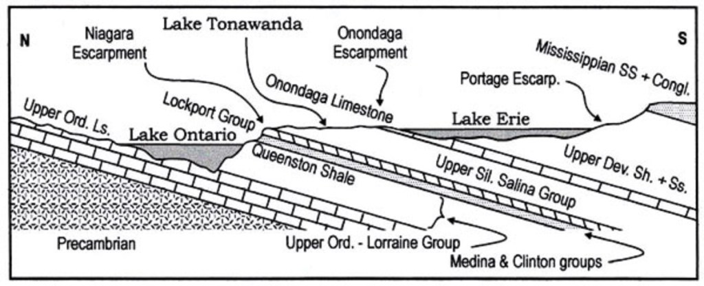
From Lake Ontario to Lake Eerie, the land is rather flat, but separated into 3 levels that ascend from Lake Ontario to the Allegheny Plateau. The lowest level is the Lake Ontario plain floored by late Ordovician Queenston formation red beds. This is really the lake plain of glacial Lake Iroquois, Ontario’s much larger predecessor.
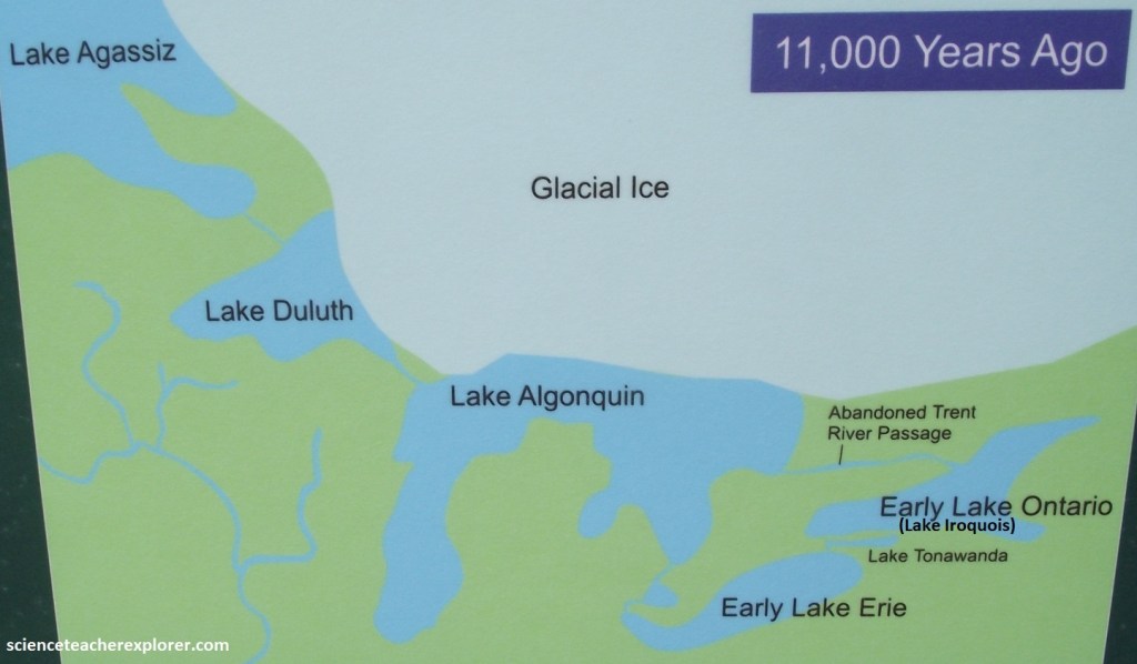
The southern edge of the plain terminate abruptly against the steep 83m high Niagara Escarpment of Silurian strata capped by the late Silurian Lockport group dolostone. The Lockport continues southward as a caprock to the 2nd level, referred to as the Tonawanda plain, which once held glacial Lake Tonawanda. Imaged below, the Niagara escarpment is more than just a local feature, for it extends almost continuously around Lakes Huron and Michigan into northern Illinois.
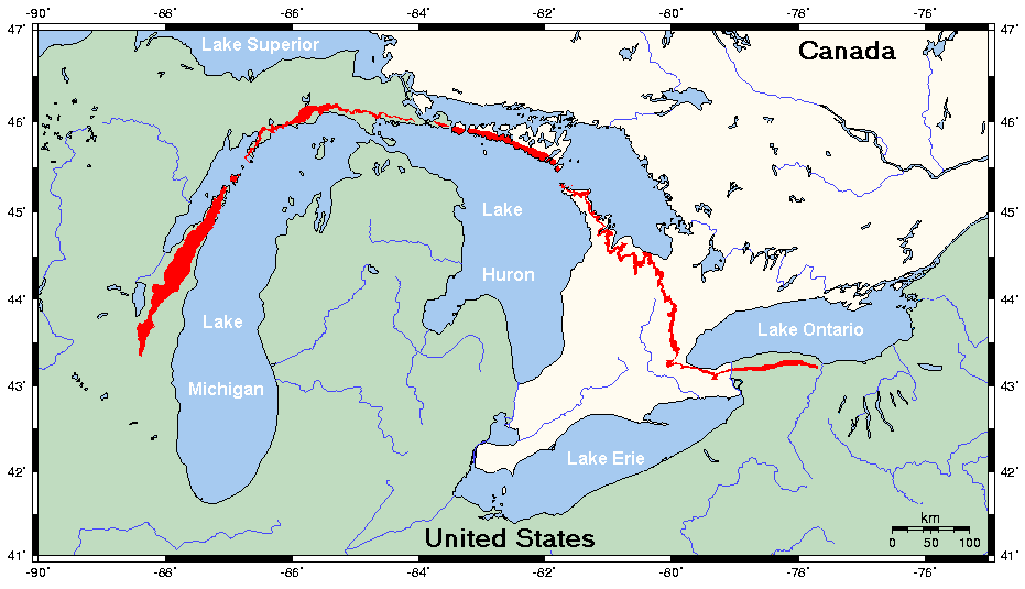
The Tonawanda plain, mostly underlain be weak, late Silrian Salina group beds, extends southward to the region of Buffalo, where it terminates against the rather inconspicuous Onandaga scarp, capped by middle Devonian Onondaga limestone. The upper level is the Erie plain, that includes the Lake Erie basin.
The Niagara River is more like a strait than a river. It is only 53km long, and carries as much water at it’s head as at it’s mouth. Since the lakes are great settling basins, the Niagara River carries very little sediment. The river drops 109m from Lake Erie to Lake Ontario. Half of that drop is attributed to the falls, and most of the remainder to the rapids just above the falls and the gorge.
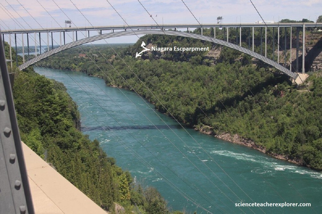
Becky and I headed south on NY18F, where the drive eased into Lewiston, which was the site of Niagara Falls some 12,000 years ago. With continuous erosion, it has since receded 11.3km to the south, leaving a spectacular gorge in it’s wake, (pictured below).
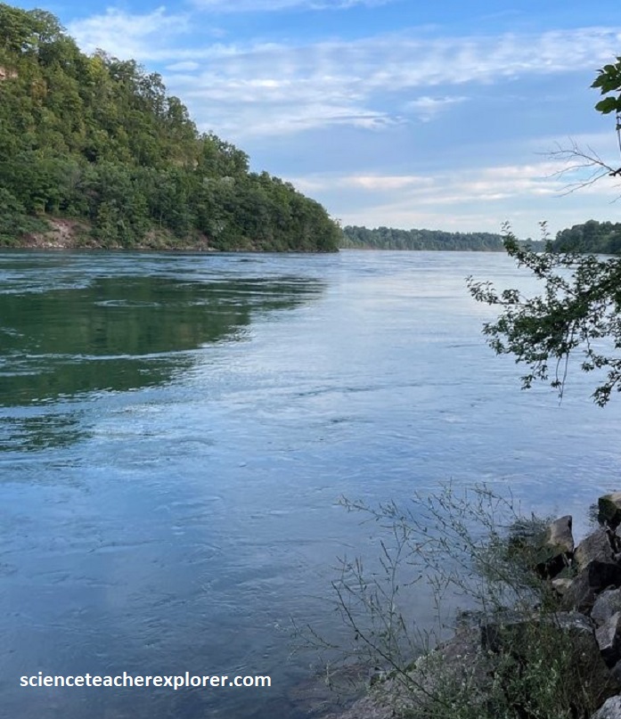
Below NY18F is the terraced woodland of Artpark, a 200-acre state park where visiting artists of all kinds polish their skills, compare notes, arrange exhibits, and stage musical and theatrical events.
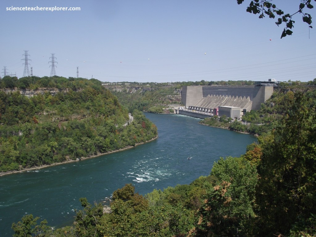
In it’s brief course, the Niagara River descends more than 100m in elevation, making it one of the best sources of hydroelectric power in North America. Much of New York State’s power needs are met by the dynamos that hum 13km upriver at the Niagara Power Project. The current power development at Niagara was completed under a 1950 treaty between Canada and the United States that, among other things, ensures preservation of the falls. The agreement provides that 100,000 ft3/sec must flow over the cataracts during the daylight hours in the peak tourist season. At other times at night or off-season, the flow may be reduced to 50,000 ft3/sec. (13 turbines are use to generate electricity).
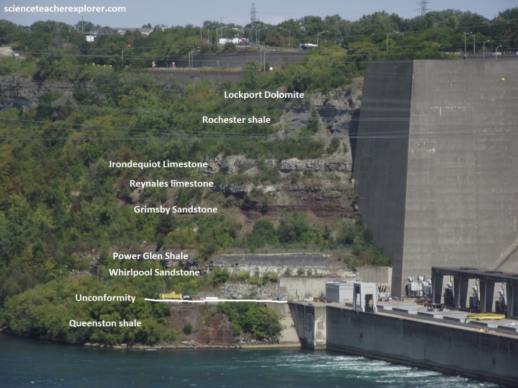
Pictured above, the rock strata now exposed in the gorge walls are almost identical from one end of the gorge to the other. This rock strata are arranged like a layer-cake slightly tilted to the south. The top of the vertical succession of rock strata, is a 23m thick section of hard dolostone of the late Silurian Lockport group, which is almost immune to the action of water flowing over its top surface. Rocks under the Lockport are mostly soft shales and sandstones of the middle Silurian Clinton and early Silurian Medina groups, and at the bas, the late Ordovician Queenston formation. Thin, resistant beds of Irondequoit and Reynales limestones occur at the base of the Clinton, and Whirlpool sandstone at the base of the Medina. As a whole, this pile of more than 67m of generally weak rock presents much less resistance to erosion than the caprock and weathers back more rapidly. The result is that the Lockport is left overhanging and eventually breaks off along joint planes and falls into the gorge or plunge pool.
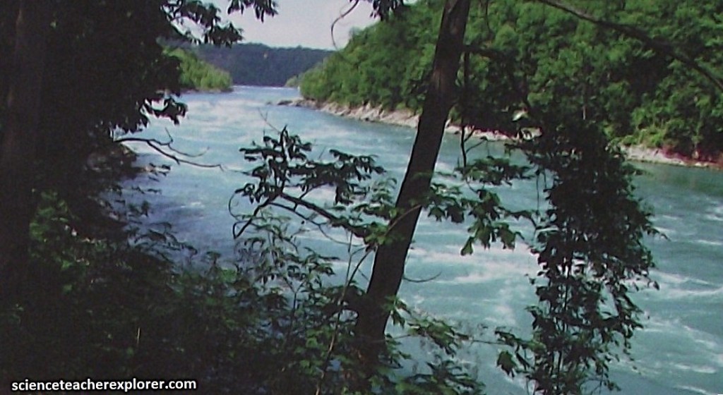
Pictured above, the “Devils Hole is a deep, bowl-shaped plunge basin of the Bloody Run distributary from glacial Lake Tonawanda. A trail led down to the river step by step over the rock section of the wall.
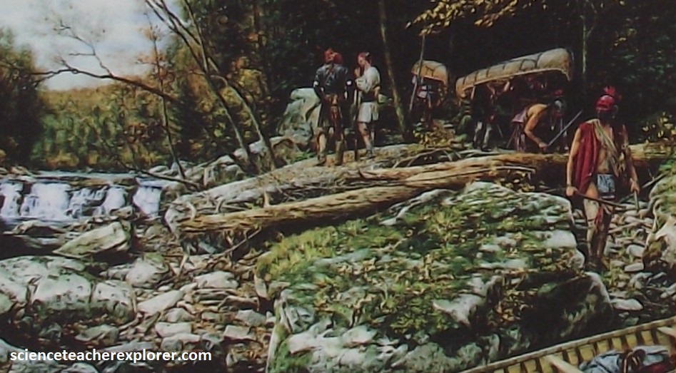
The British victory in the French and Indian War in 1763 resulted in a mobilization of Native Americans under Pontiac, an Ottawa leader, against the British presence in the Upper Great Lakes region. The Niagara Portage was a vital link for supplies and troops sent to British forts to suppress Pontiac’s raids.
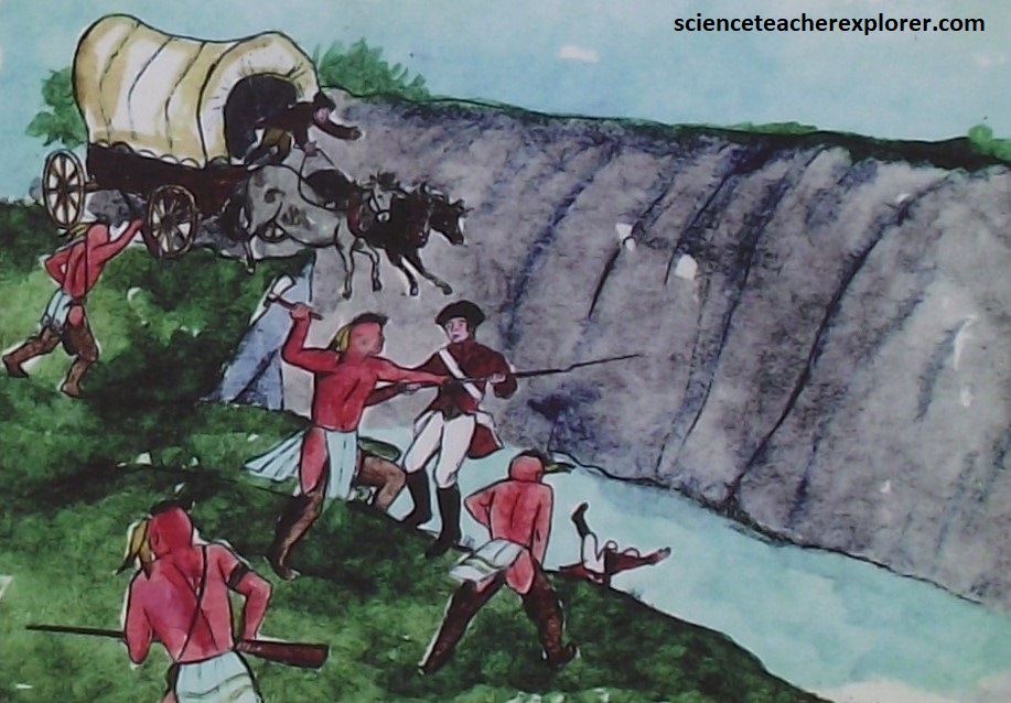
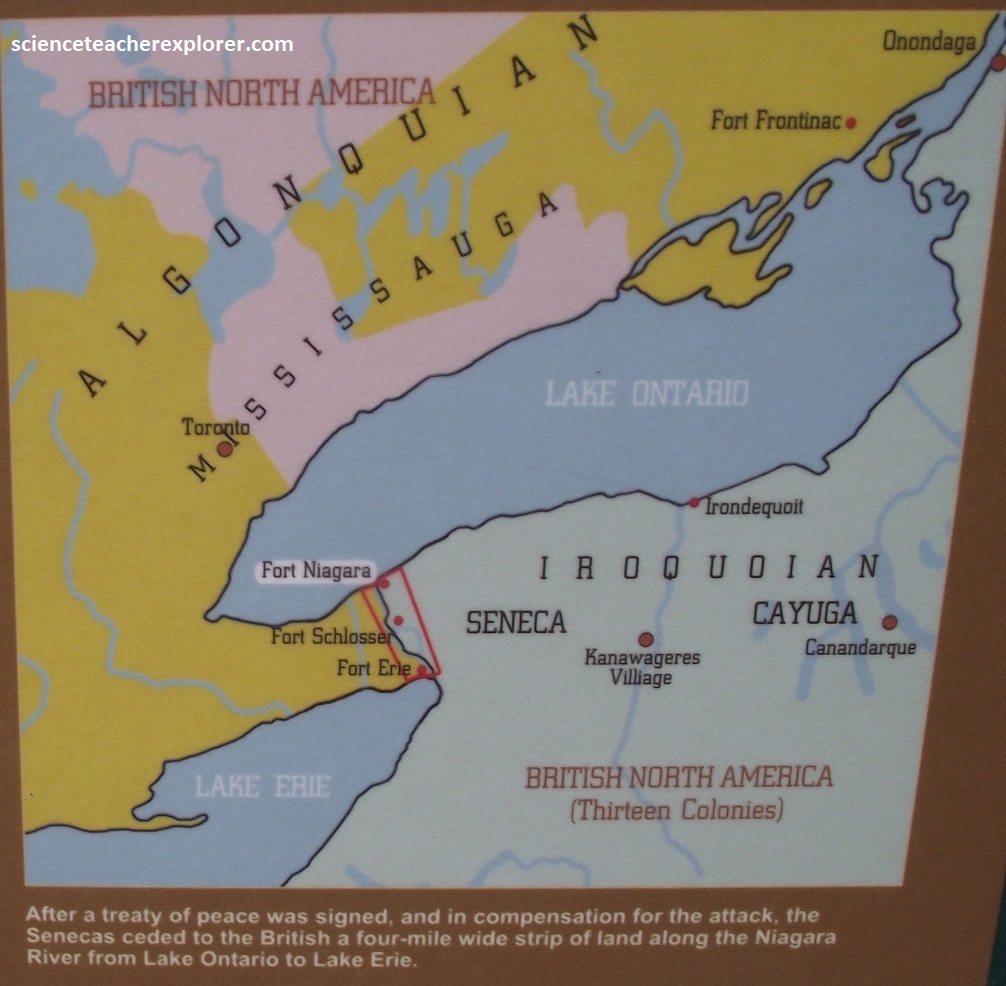
At the Devils Hole, on September 13th, 1763 a party of Senecas, supporting Pontiac’s Rebellion, attacked a convoy of wagons and escorting soldiers. The wagons, their drivers and the escort were destroyed, many forced into the gorge. {This initial ambush killed more than 20 men}. Another company of British soldiers, coming to investigate, were also destroyed about a kilometer north of the Devils Hole. These attacks seriously delayed British attempts to end the rebellion.
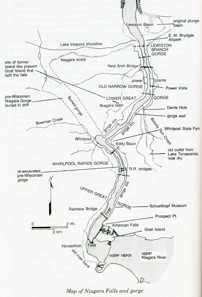
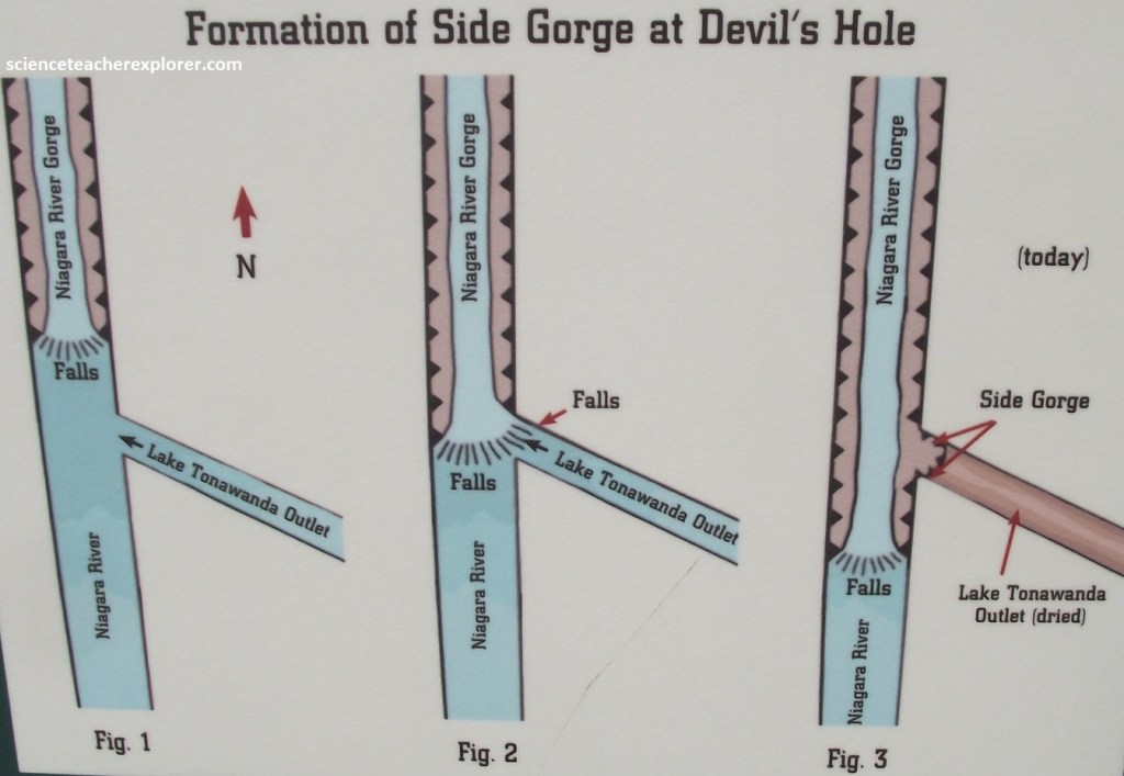
Devils Hole is actually a semi-circular notch formed by an ancient waterfall draining a section of Glacial Lake Tonawanda. This waterfall formed as the main Falls eroded back past this point in the gorge. Lake Tonawanda eventually dried up along with its waterfall, (imaged below). {Note: On the opposite side of the canyon, between the Whirlpool and Devils Hole, is Niagara Glen, the site of a former island much like Goat Island today. When the falls reached the island, they split in two.}
The Whirlpool State Park overlooks the giant Whirlpool Basin where the river makes an abrupt right angle turn. The Whirlpool lies in a re-excavated portion of the buried St. Davids gorge that continues northwest underground for 4.8km to the Niagara escarpment near St. Davids, Ontario.
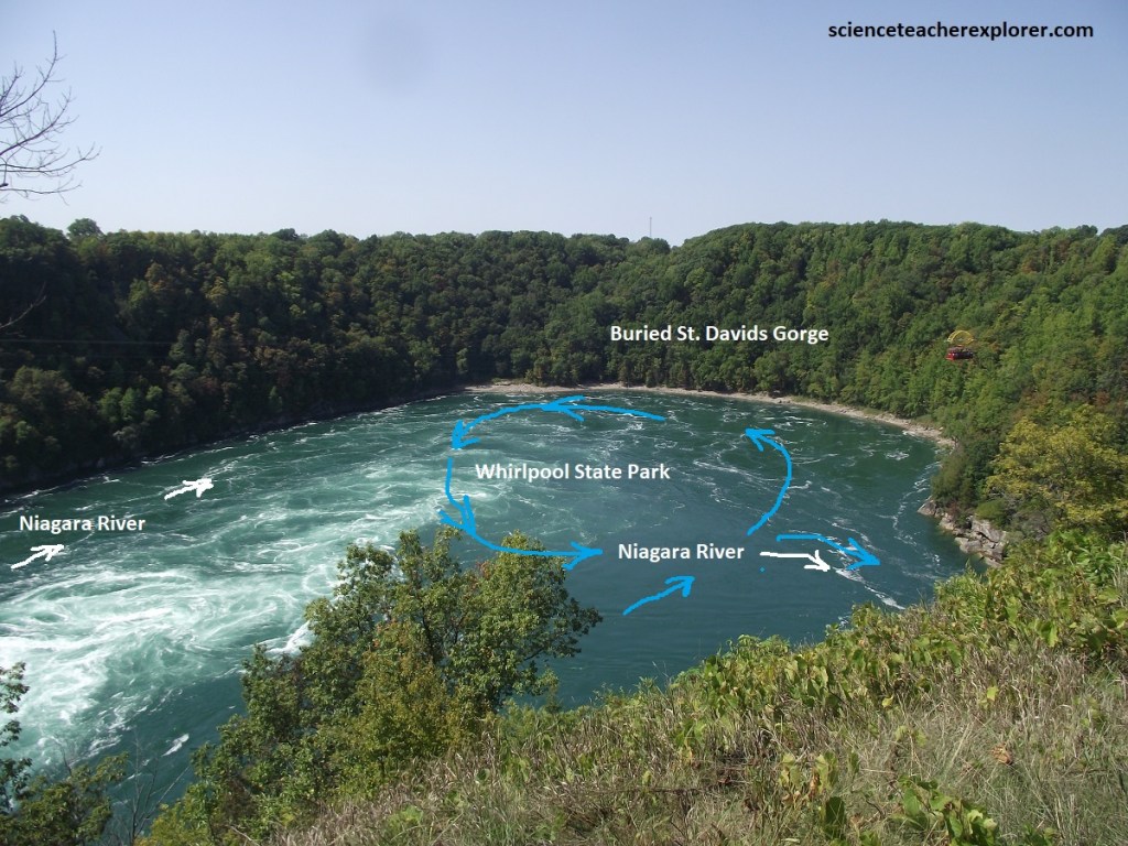
The St. Davids Gorge was carved during the pre-Wisconsin interglacial period (4,200 years ago), in much the same way as the present gorge, by recession of falls from the Niagara scarp; but it followed a different course. Saint David’s Buried Gorge was an ancient, pre-glacial river valley filled in with soft glacial silt and stone. When Niagara Falls eroded its way into this hidden gorge, it rapidly began washing away the gorge’s soft filling. It is speculated that when the Falls hit the buried gorge, it was just a matter of weeks, perhaps even days of violent erosion while it carved out the Whirlpool basin. However, Saint David’s Buried Gorge ran perpendicular to the current path of the Fall’s erosion, and resulted in a 90 degree turn in the river to find it’s present route over the Tonawanda plain.
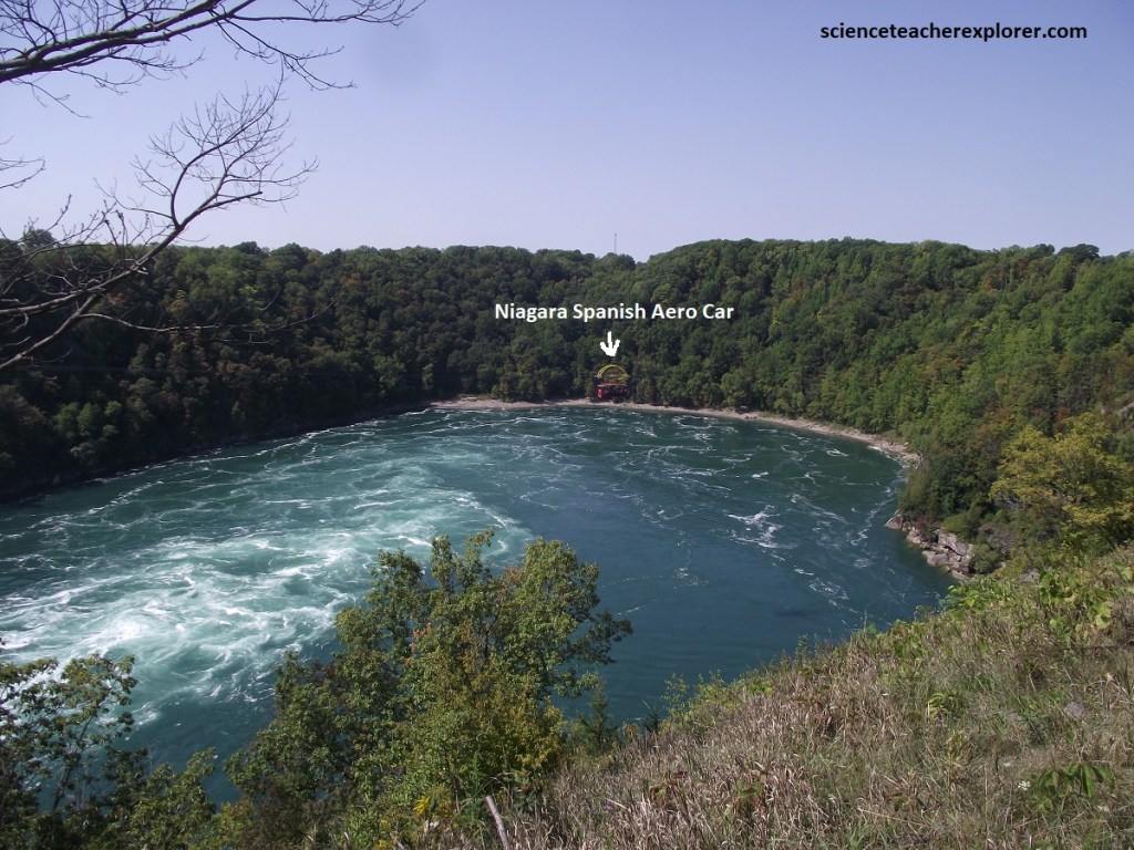
Whirlpool State Park, New York 2025 with the Aero-Car emphasized.
Pictured above, the “Whirlpool Aero Car” , (originally known as the “Spanish Aero Car”), is a historic cable car that has been transporting visitors over the churning waters of the Niagara Whirlpool since 1916. Suspended 76m in the air, it stands as a marvel of early 20th-century engineering and remains the only surviving aerial ferry of its kind in the world. The system was designed by the renowned Spanish engineer Leonardo Torres Quevedo. The engineering was incredibly unique and purely Spanish-funded from start to finish. To prevent the infrastructure from ruining the scenic views of the gorge, massive excavation was done on both sides to hide the mechanical chambers underground. The actual passenger carriage was built overseas in Bilbao, Spain, and shipped to Niagara.
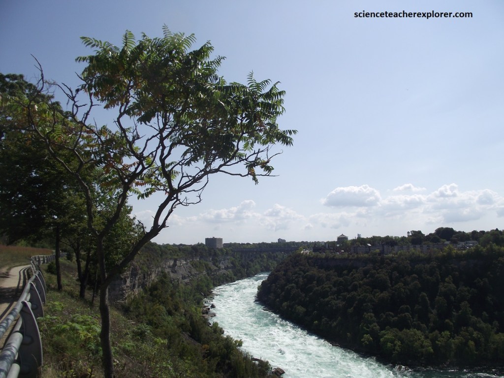
Pictured above, the Whirlpool Rapids provided the ideal location for daredevils to pursue their risky feats during the late 19th and early 20th centuries. They challenged these raging waters by swimming, riding in barrels, and navigating boats through them, some paid with their lives.
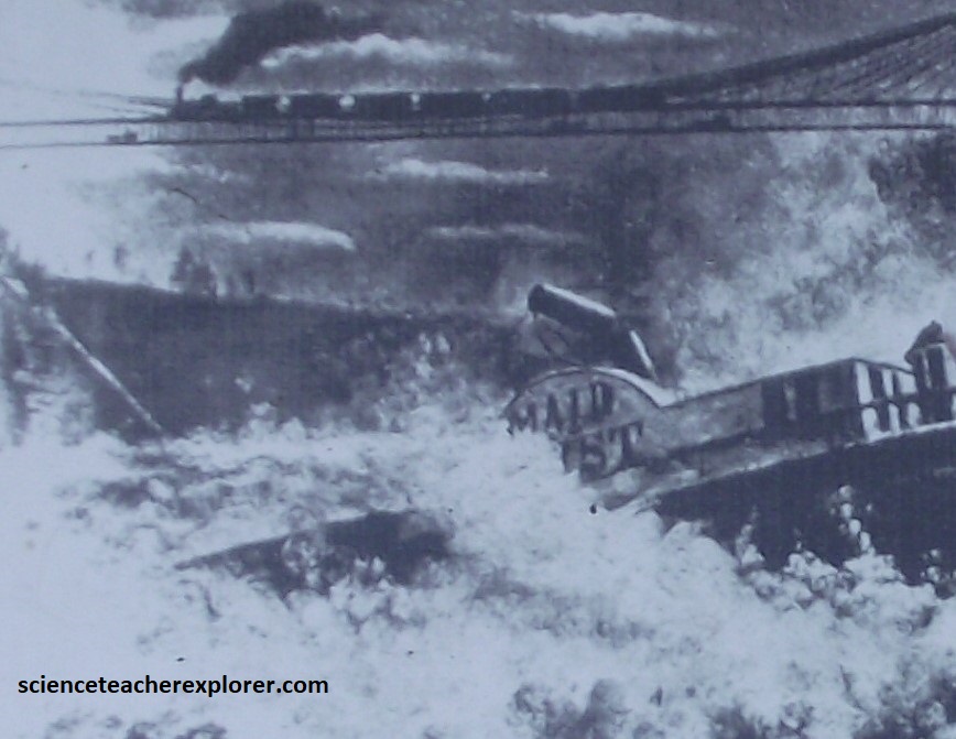
In 1861, “Maid of the Mist II”, a famous sight-seeing boat that carried people close to the falls, was sold to a Montreal company with the stipulation that the boat be delivered to Lake Ontario. Captain Joel Robinson and crew navigated the boat through the Whirlpool Rapids to the docks in Queenston, Ontario, completing the first planned trip through these rapids.
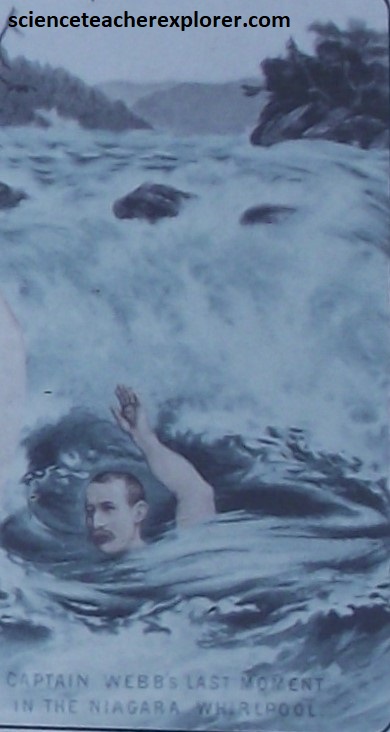
Captain Mathew Webb, the first person known to swim across the English Channel, died while attempting to swim the Whirlpool Rapids in 1883.
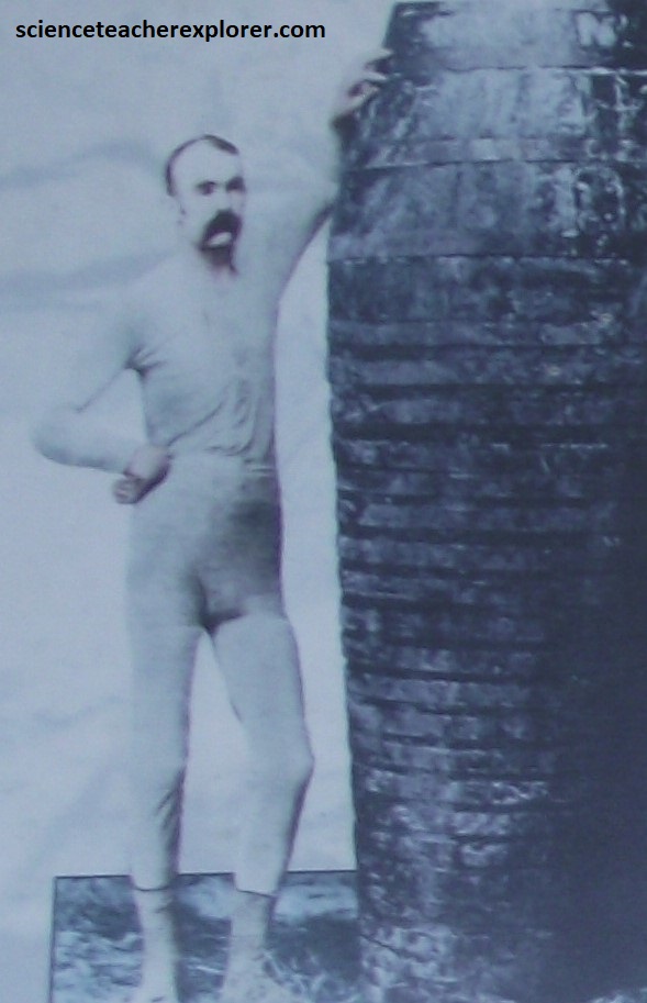
In 1886, Carlisle D. Graham was the first person to ride through the Whirlpool Rapids in a barrel. He repeated this stunt four more times, once with his head outside the barrel. This left him partially deaf from the waves pounding on his ears.
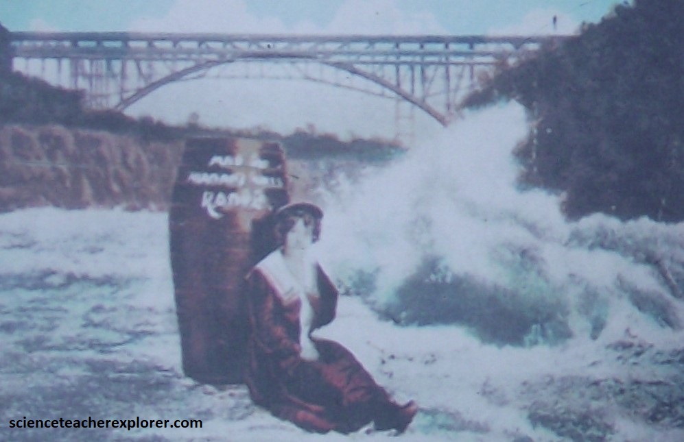
Martha E. Wagenfuhrer, known as the “Maid of the Niagara Falls Rapids,” was the first woman to conquer the Whirlpool Rapids alone in a barrel. Martha planned her trip for September 6, 1901, the same day that President McKinley rode through the gorge on the trolley line.
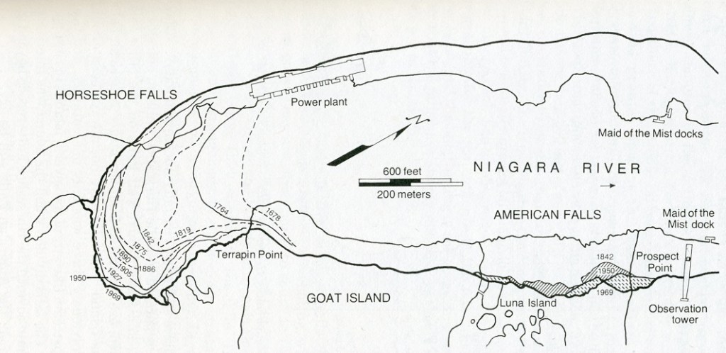
Farther south, past a welter of industrial plants and tourist shops, is the celebrated trio of cataracts known as Niagara Falls. The American Falls are the highest at 61m, while the broad sweep of Horseshoe Falls, (59m high), creates an amphitheater of white water, mist, and thunder that is simply breathtaking. Between them, in the gap between Goat and Luna islands, slender Bridal Veil Falls adds it’s own blend of grace notes to the deafening din.
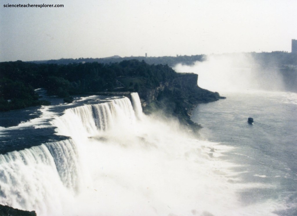
There is a direct correlation between the amount of water going over the falls and the size of the canyon being carved underneath. Greater discharge produces a wider, deeper canyon. Lesser discharge erodes a narrower, shallower canyon, generally at a slower rate. The image of Horseshoe and American falls seen above, shows that Horseshoe Falls have received 90% of the discharge since the falls split. As a result, the Horseshoe Falls have receded more than a kilometer, while American Falls have moved upstream only a few meters. Together the three spill some 3/4 of a million gallons of water each second.
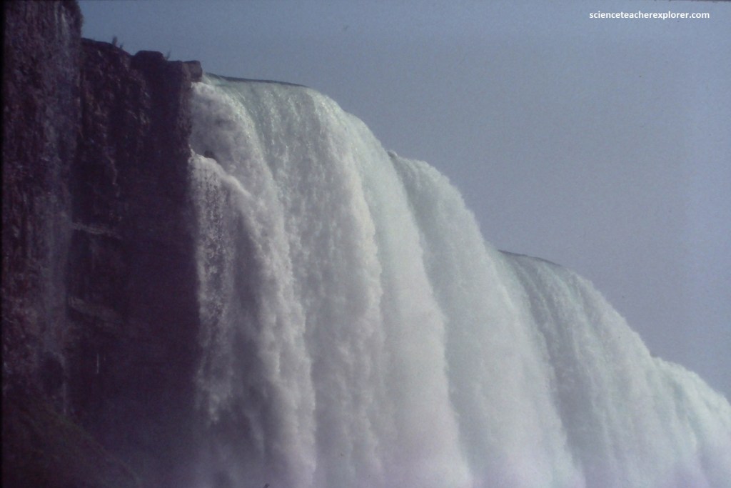
Pictured above, the Niagara Reservation Park was our main point of entry to view the falls on the American side. They have been drawing visitors, (often honeymooners), since 1803, when Napoleon’s brother brought his American bride here.
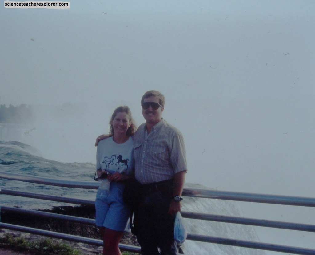
To get near the edge of the American Falls, we took the pedestrian bridge to Goat Island, where we could look straight down into the cacophonous gorge as tons of white water plunged onto huge dark boulders that appear and disappear in the mist.
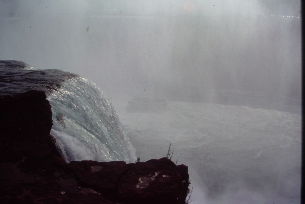
For a closer encounter, Becky and I took the elevator to the rock-hewn tunnels that lead to the Cave of the Winds at the falls base.
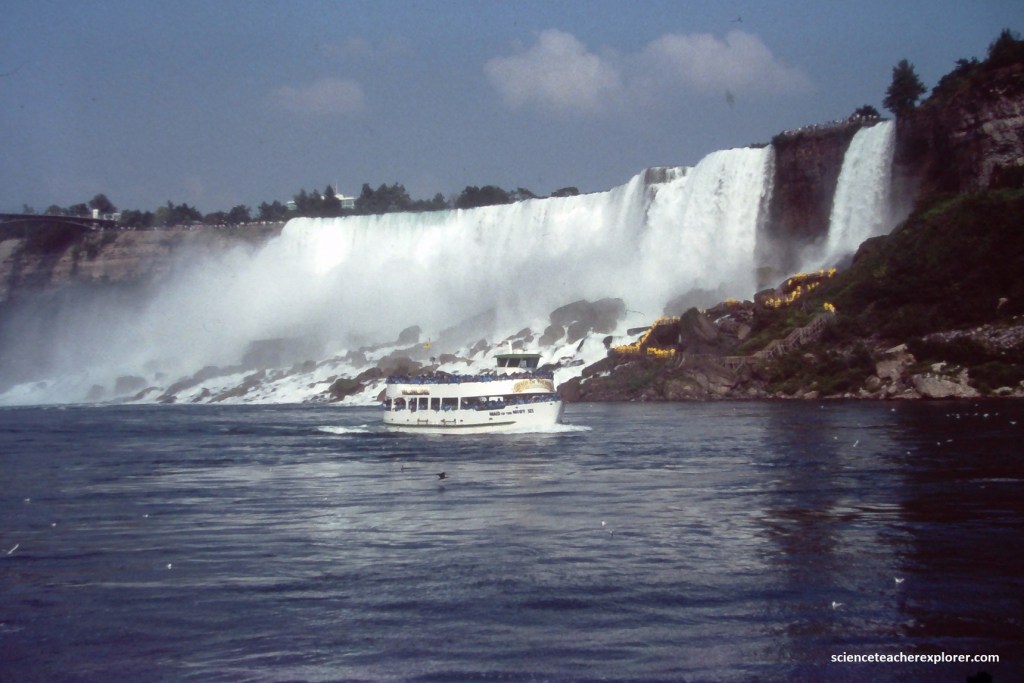
Here, outfitted in a yellow slicker, we could look straight out at the thundering wall of water, (pictured above).
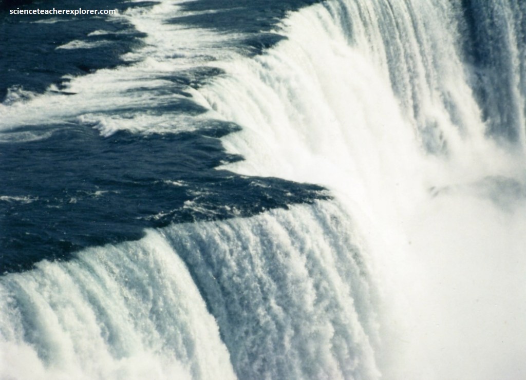
For an aerial perspective on the scene, Becky and I rode the elevator to the top of the Prospect Point observation tower.
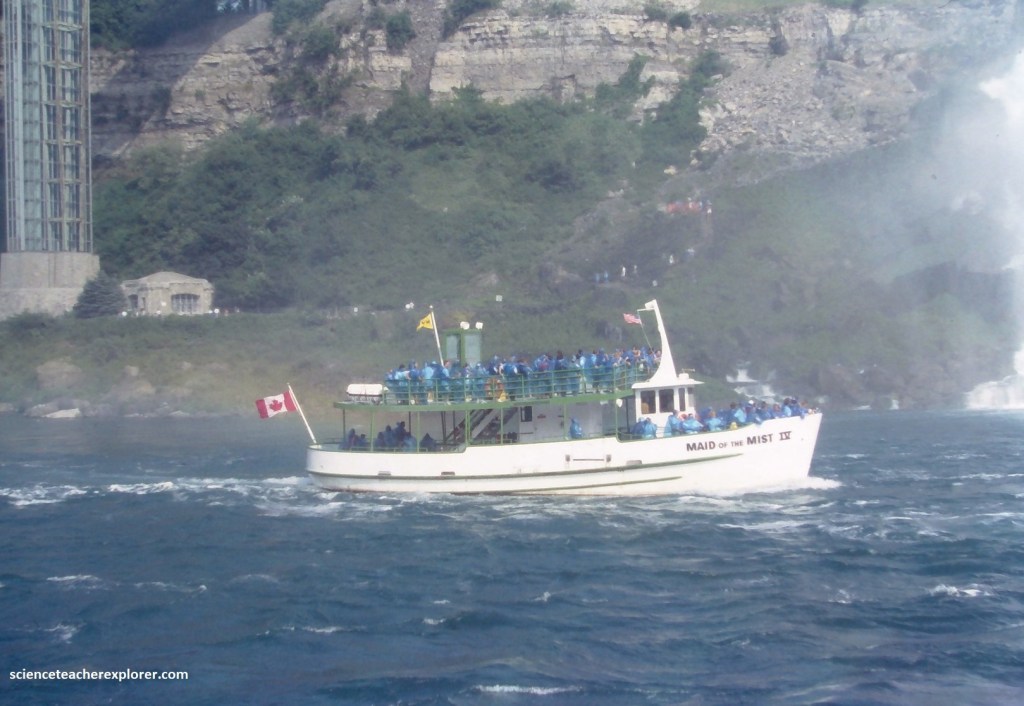
Later, we descended to streamside, where a fleet of sightseeing boats that all bear the same name, “Maid of the Mist”, was taking visitors into the maw of the Horseshoe Falls. They’ve been doing this for more than a century. {The pictures below were taken from the “Maid-of-Mist” boat in 1993}.
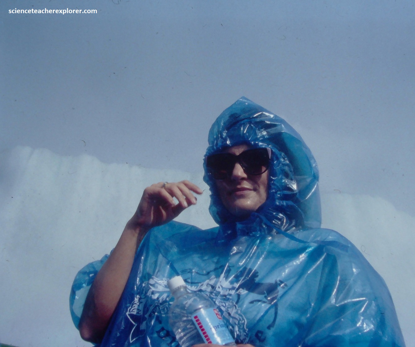
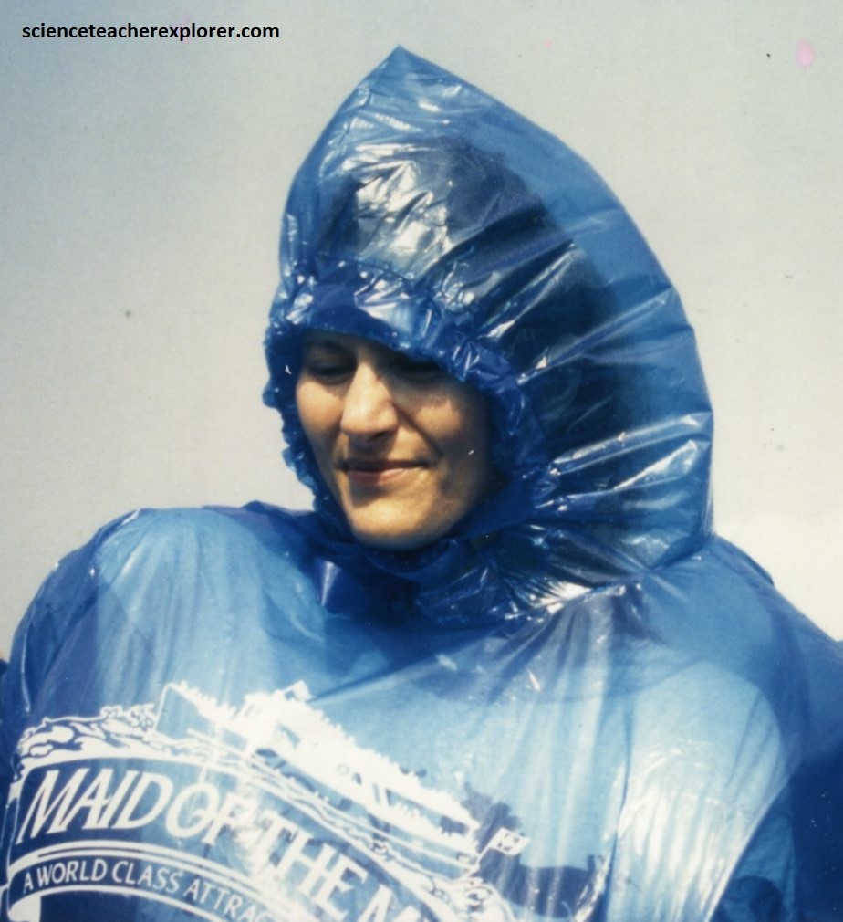
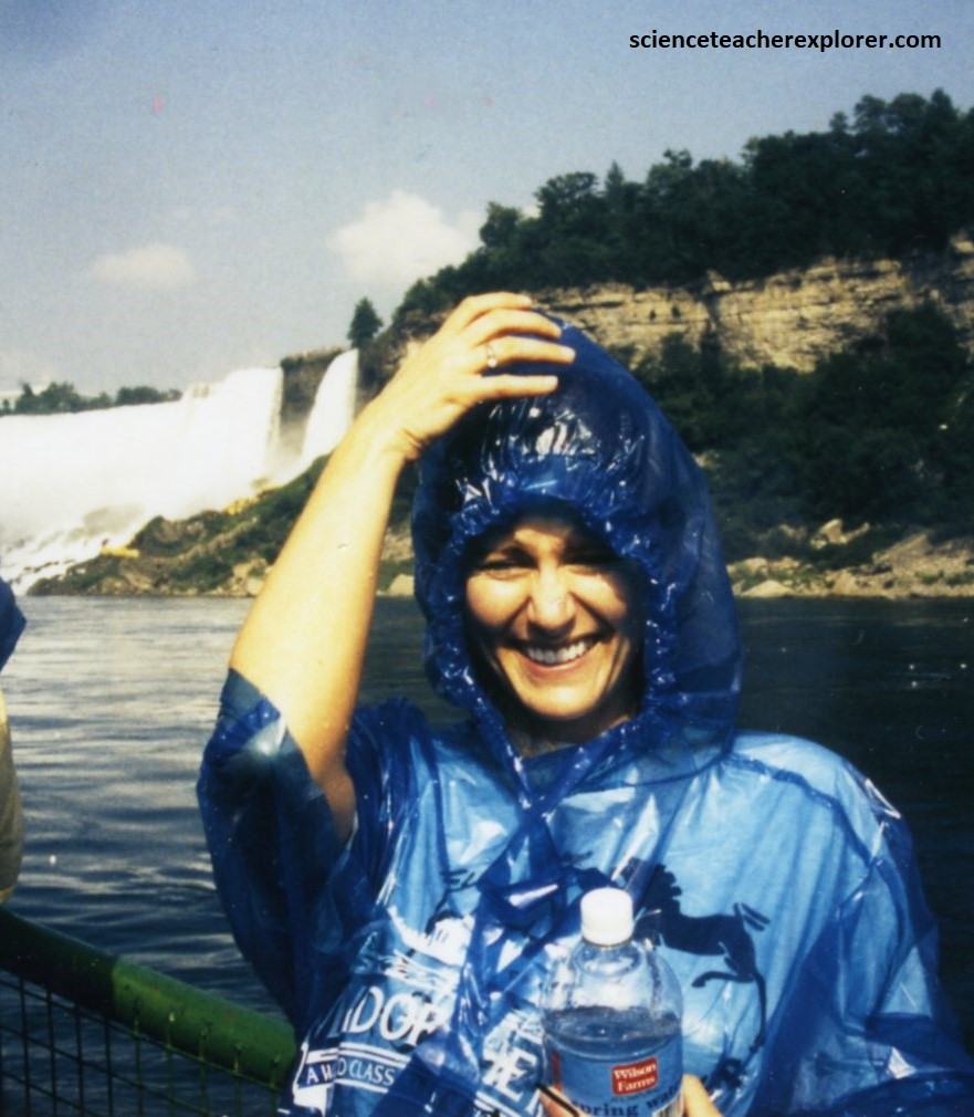
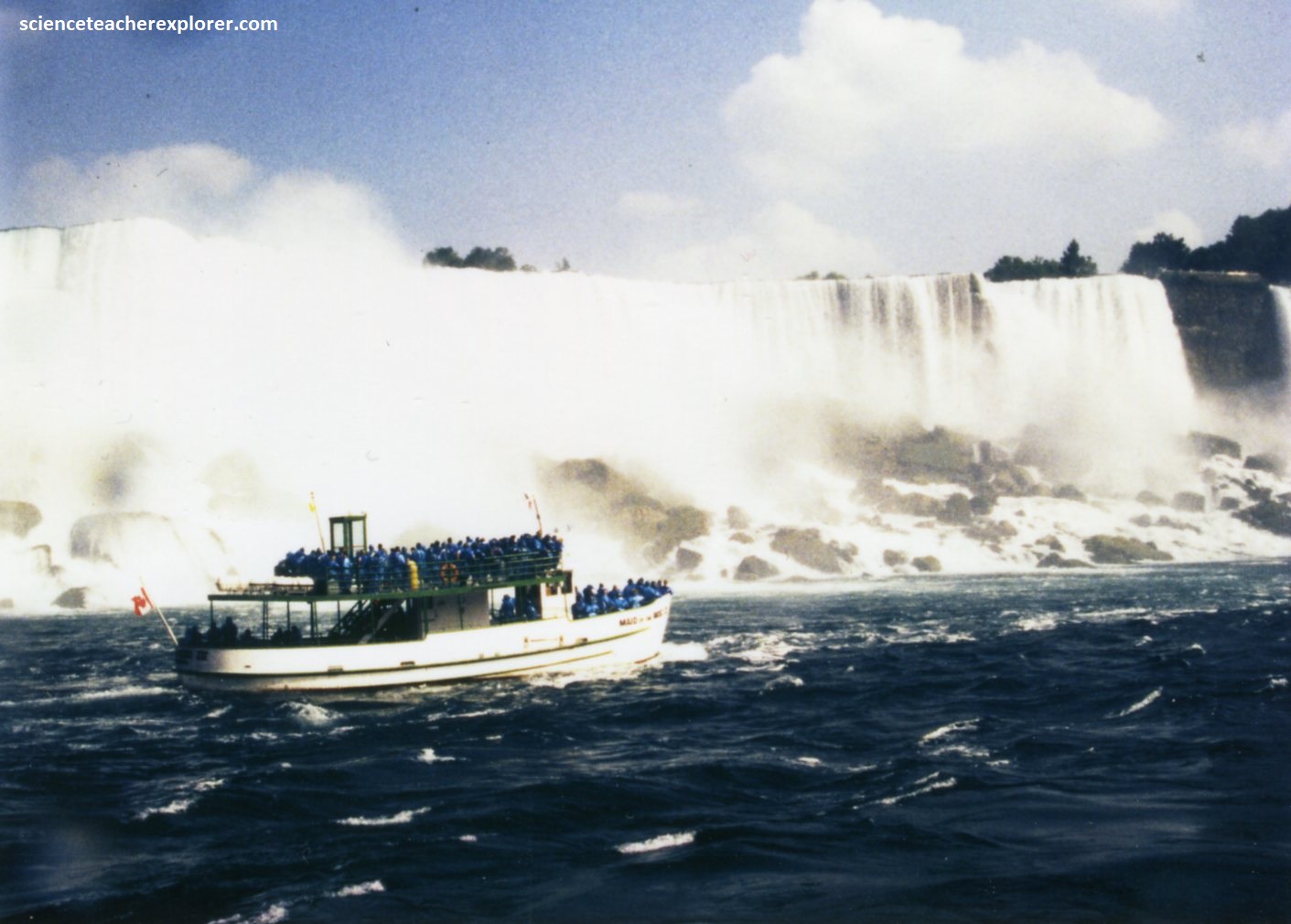
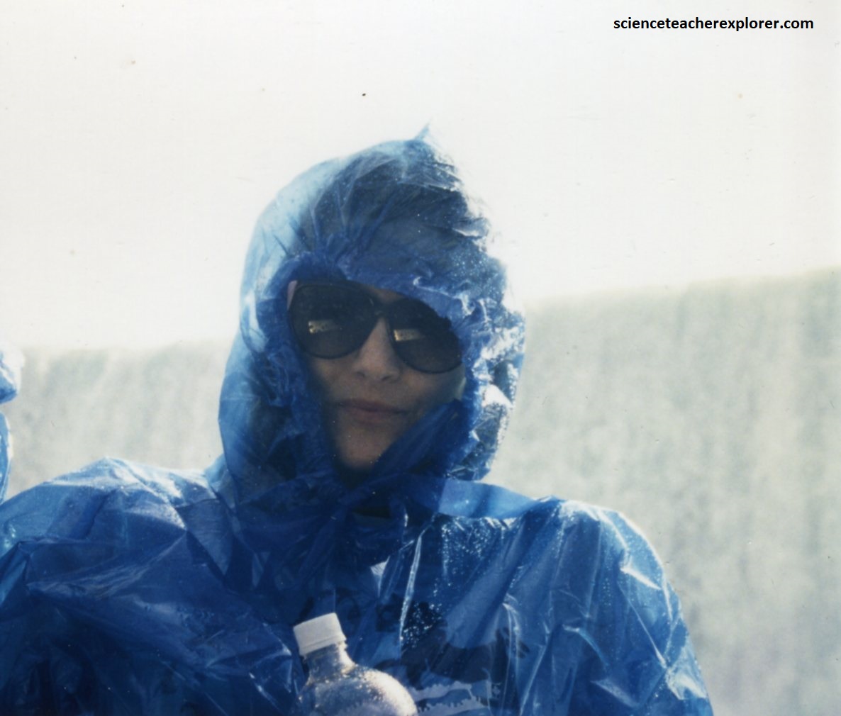
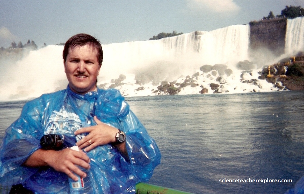
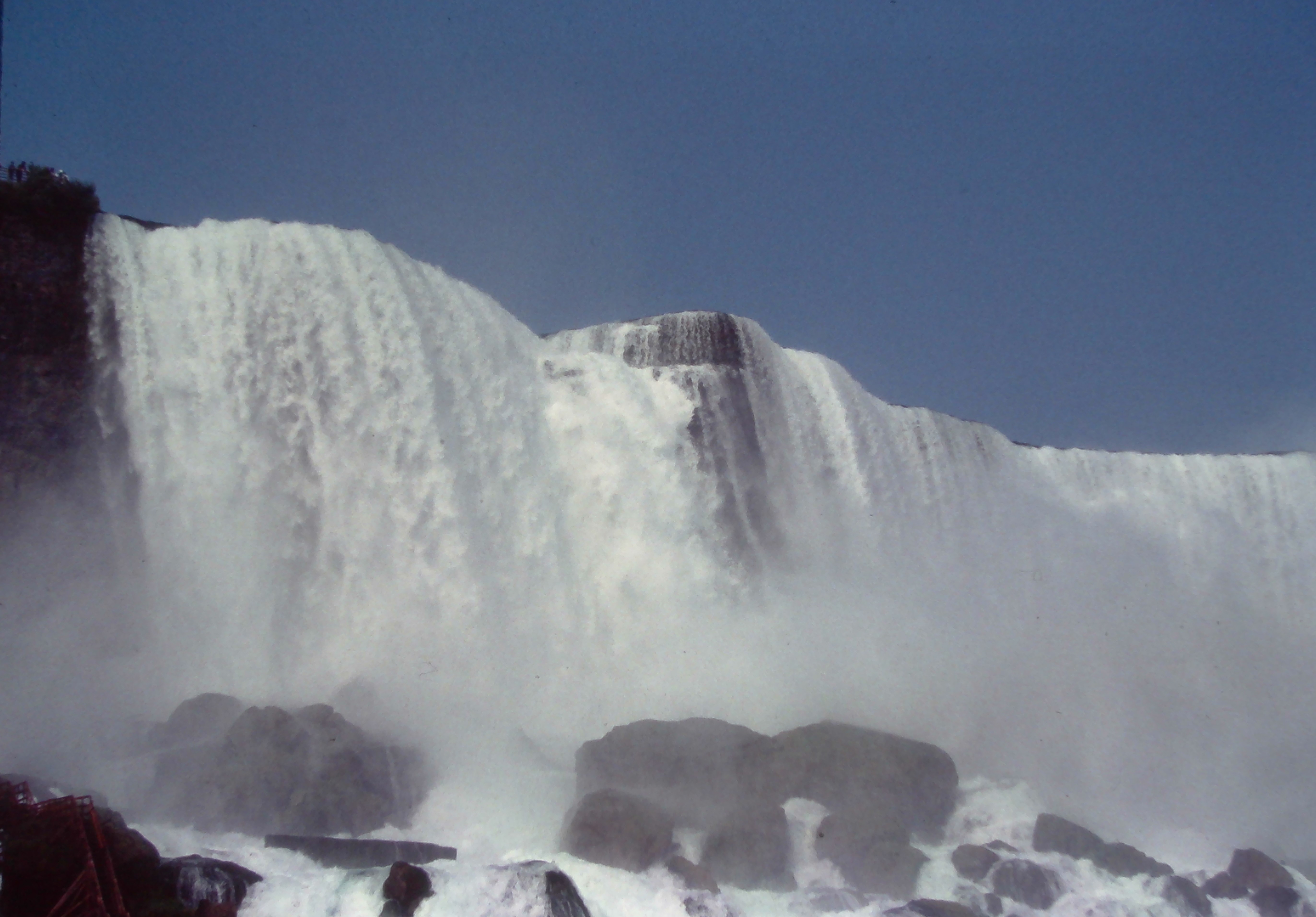
Pictured above, the crashing water created a dense, floating cloud of tiny water droplets all around the Maid-of-Mist boat. We were fortunate to do the tour on a bright sunny day, where sunlight could enter these water droplets and reflect it back to our eyes. Being immersed inside the dense 3D mist, allowed us to perceive a full 360-degree circular-rainbow ring from your unique vantage point on the water. It was important for us to look forward with the sun at our back and 42 degrees up from the horizon. I timed our tour for this actual event. It worked!
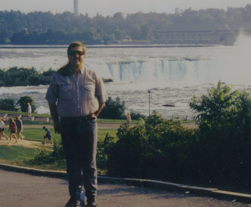
Across Rainbow Bridge on the Canadian side, Becky and I gathered atop Table Rock, which afforded us close-up view of Horseshoe Falls, (pictured above and below).
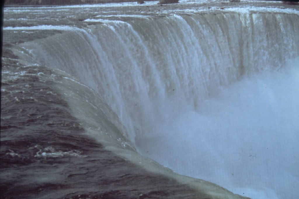
The first person to go over the Niagara Falls in a barrel was 63-year-old schoolteacher Annie Edson Taylor — she suffered only a concussion and a minor cut on her head. At least a dozen people have survived the plunge; numerous others have lost their lives. (By the way, stunting at Niagara Falls is illegal and includes hefty fines and possible jail time).
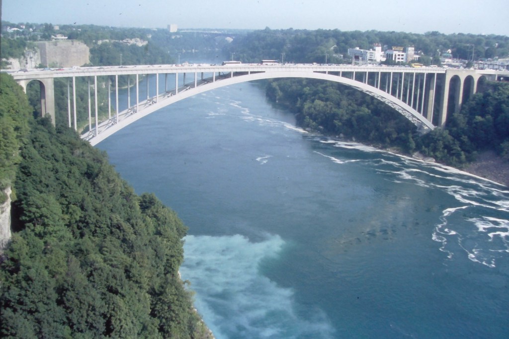
Pictured above, the Rainbow Bridge is a steel arch bridge than connects Niagara Falls, New York; to Niagara Falls, Ontario; across the Niagara River. It replaced the older Honeymoon Bridge, which collapsed in 1938 due to pressure from a massive river ice jam. Total length is 483m, with a main span of 320m and a deck height sitting 67m above the river.
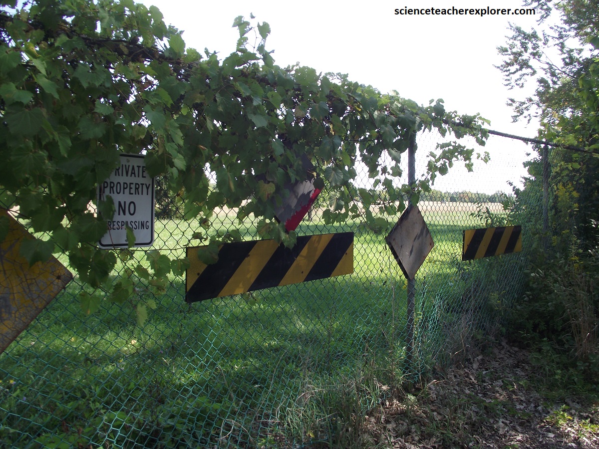
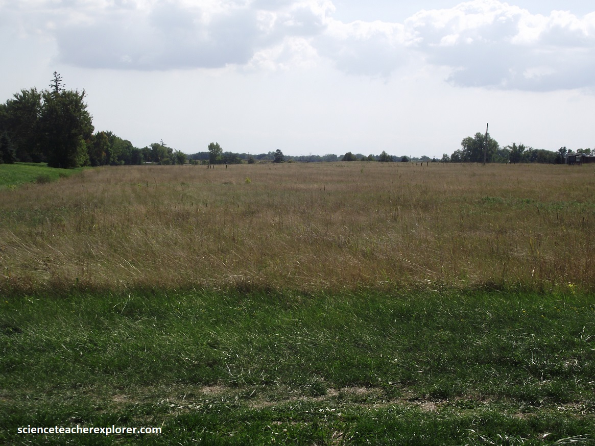
Meanwhile and nearby, Becky and I decided to visit the infamous “Love Canal”, New York. Pictured above, William T. Love was a businessman with a strong social conscience. In the early 1890s he started to build a model industrial community along a canal 20m & 1km long entirely powered by hydroelectricity from water diverted from the Niagara River. However, Nikola Tesla invention of AC-power made the need for close-by power source of DC-current obsolete and the project obsolete. Then the canal was purchased by the City of Niagara Falls in the 1920s and used as a dump site by the Hooker Chemical which poured 22,000 tonnes of waste chemical into it between 1947 and 1952. The dump was then capped with a thick clay and abandoned. But then, in 1953, the Niagara Falls Board of Education sought land for a new school adjacent to Love’s old, buried canal, (99th Street Elementary School). After warning, it purchased for $1.00. Residential communities sprang up all around. But it wasn’t long after that the residents began to see connections between the buried waste in their community and growing numbers of birth defects. In 1978 President Carter declared a Federal State of Emergency and the area was ordered to be closed and 800 families were relocated. Love Canal is just one of nearly 250 chemical waste landfills in the Buffalo-Niagara area. This was the beginning of the environmental movement and the recognition of the need to clean up waste sites.
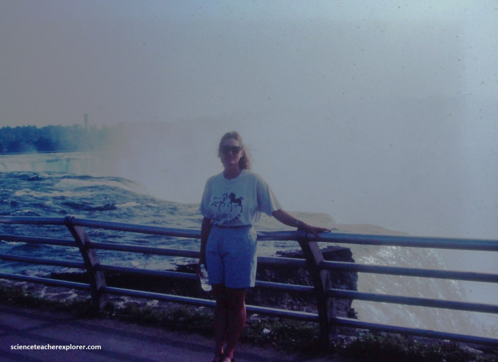
Between Lake Erie and Lake Ontario, the north flowing Niagara River drops 100m, which includes the abrupt drop over the lip of the Niagara Escarpment at Niagara Falls. The Falls are stunning in any season, both night and day, and are arguably the greatest geological wonder in the world.

